W0C/SP-102
Observatory Rock
3070 m / 10073 ft
Oct 12, 2015 solo
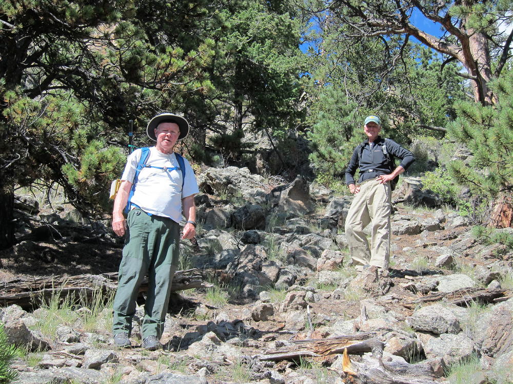
Sep 5, 2016 with N0TA and WA2USA
By KX0R
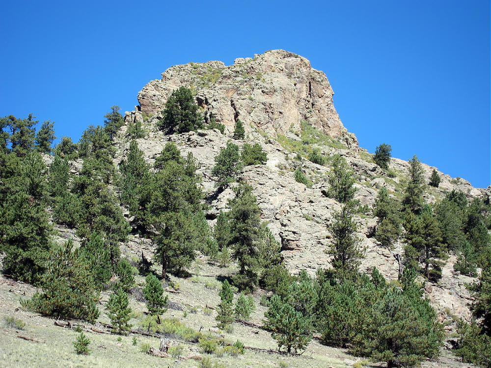
Observatory Rock is a high, prominent summit named for its resemblance to an observatory dome.
Key Points:
• Pike National Forest
• Access via fair dirt roads
• Prominent, high rock outcrop
• No marked trail
• Fun Class 3 scramble required to summit
• South side parking at ~ 9400 feet
• ~ 1.0 mile round-trip
• ~ 670 vertical feet
• Fine HF site
• No red tape or special rules
• SOTA Classic!
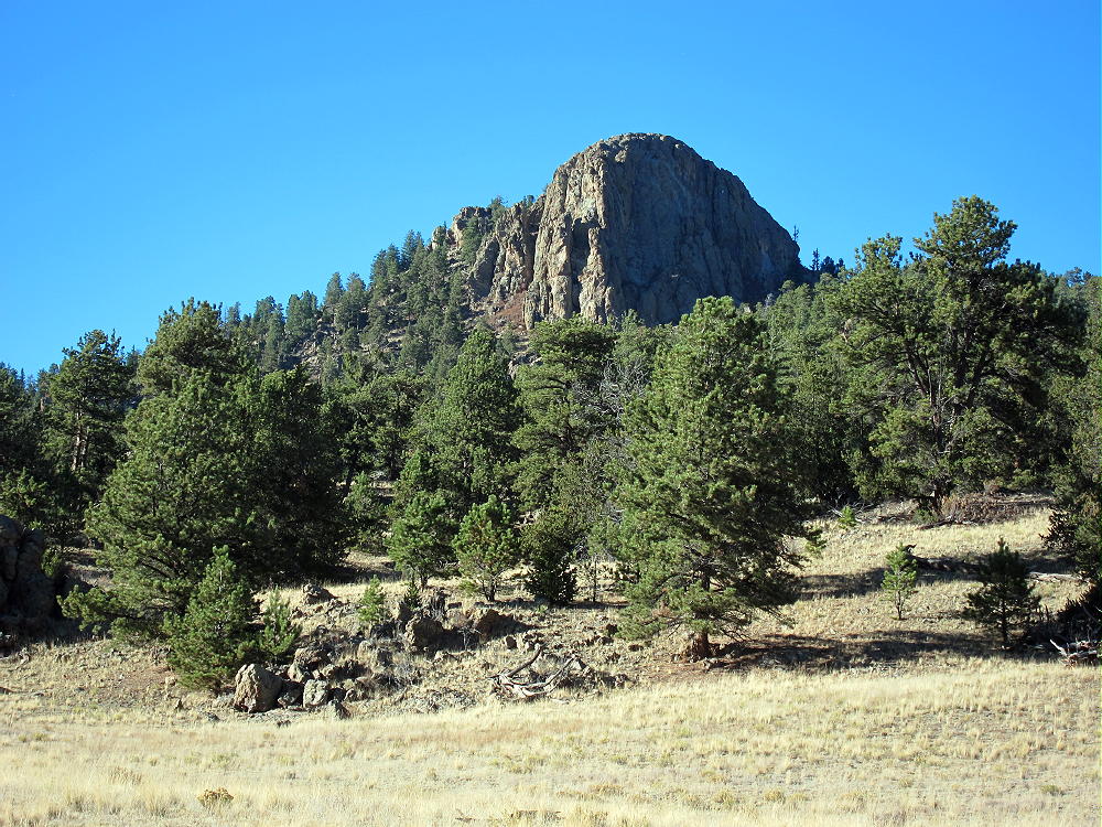
Located on the east side of South Park, almost 5 miles northwest of Tarryall Reservoir, Observatory Rock is easy to spot from Highway 77. This prominent outcrop provides an exciting scramble up a natural radio tower made of ancient granitic rock. On the right day, climbing and activating this peak is a lot of fun!
Driving Instructions:
• Start by driving to South Park, either via Highway 285 from Denver, or via Highway 24 from Colorado Springs.
• Continue to Tarryall Reservoir via the Tarryall Road, Highway 77, which runs north from Highway 24 near Lake George, to Highway 285 at Jefferson.
• Near the south end of Tarryall Reservoir, turn west off Highway 77 onto dirt road 23 – the Turner Gulch Road. Follow Road 23 around the Reservoir and west about 2-1/2 miles.
• Where Road 23 forks off to the south at the top of a hill, keep right – Forest Road 146 heads off to the northwest – look for a sign.
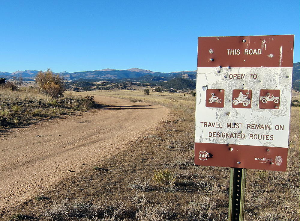
• Follow rough 2WD dirt road FR-146 down a rocky hill into a valley and back up, for about a mile from Road 23 to Eagle Rock – you can’t miss it on the right! The road passes directly south of Eagle Rock.
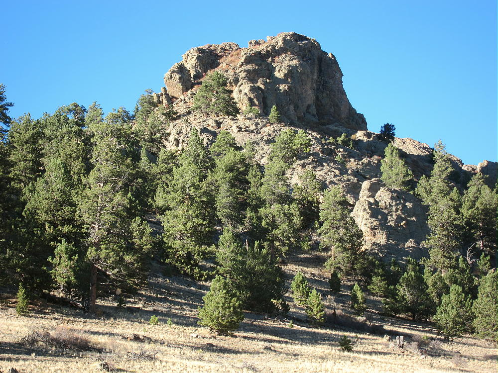
• Note that the road numbers on Google Maps differ slightly from the USFS Visitor Map for Pike National Forest
• From Eagle Rock, continue northwest on FR-146/148 for about 1-1/2 miles
• Soon after a 3-way intersection with FR-146/148, turn right on marked FR- 834. If it’s dry, this road may be OK for 2WD cars with good clearance.
• Drive carefully north down the small lumpy road, past Berkey Spring
• Continue past Copenhaver Gulch – Observatory Rock looms ahead to the north
• About 2 miles from the turn-off from 146/148, there’s a 4-way junction in a flat open area. Go straight, northwest, and ascend about 0.6 mile up a little valley via a small unmarked high-clearance 2WD road. This trail leads directly to the south side of Observatory Rock. Although it’s not shown on Google Maps or the Pike Forest map, it’s easy to see on the satellite image. There’s a campsite about ¼ mile south of the Rock.
• Park near the campsite
The Climb:
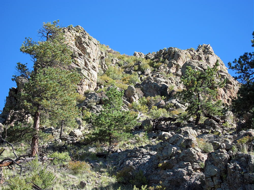
• Climb up the wide gully west of the huge rock; I found no real trail, but there are game trails.
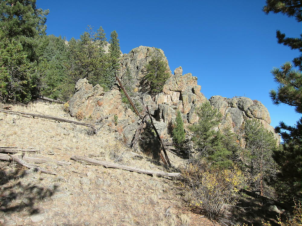
• Aim for the saddle at 9800 feet between Observatory Rock and its western sub-peak.
• Ascending slightly left of the gully worked OK to me – avoid the outcrops on the east side.
• At the saddle, head east up the steep open ridge toward the summit.
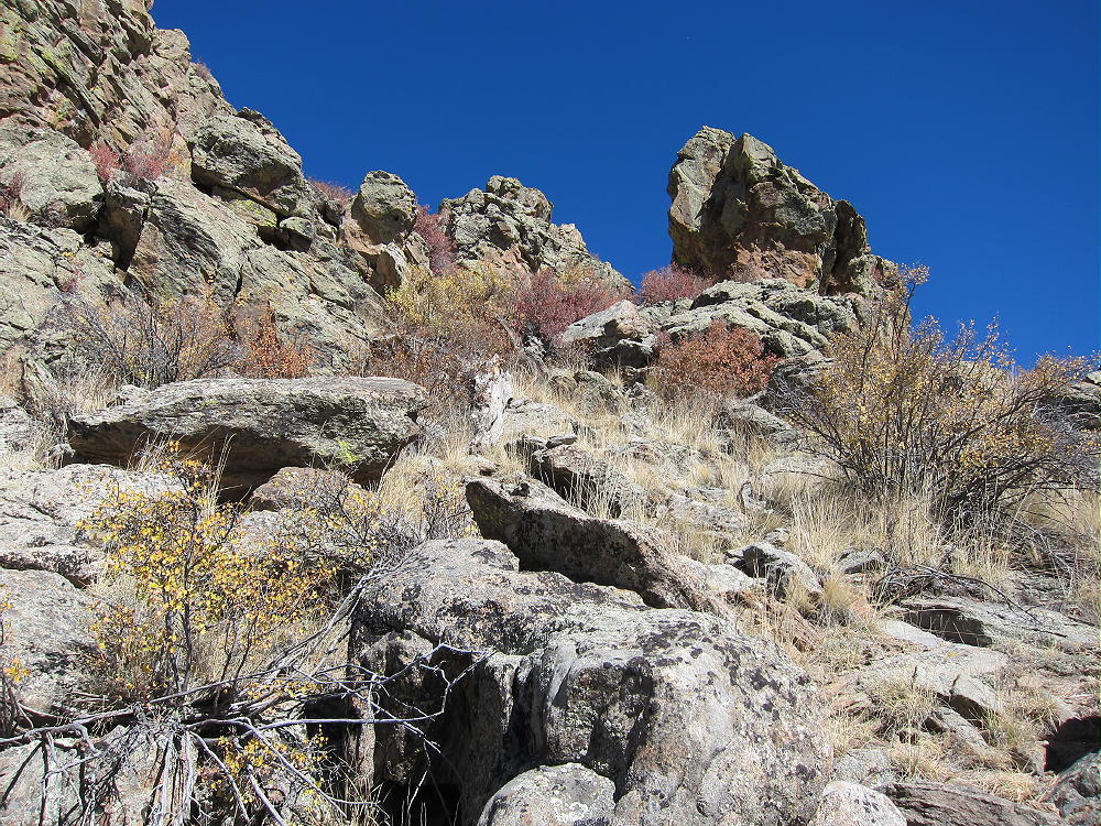
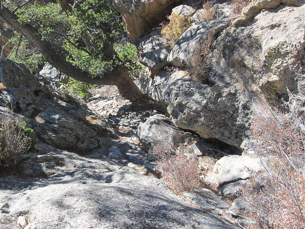
• After climbing 200 vertical feet up the ridge, the route leads into a gully on the west side of the Rock. There may be a cairn or two, as well as a faint trail. The gully contains an ancient pine tree right below the summit.
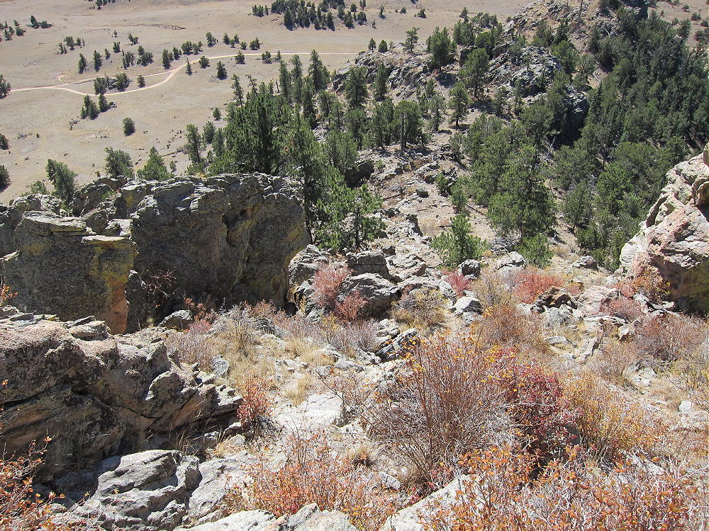
• The correct route goes right up the rock to the head of the gully. The photos show the route. The climb is Class 2 and Class 3 for about 25-30 vertical feet. You have to use your hands and feet on the rock, but it’s not difficult – provided you have good footwear, and the rock is dry.
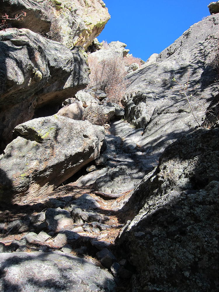
• The gully is the best access to the top of the Rock, so it’s essential to find this route on the west side; be sure to descend the same way.
Relevant Details:
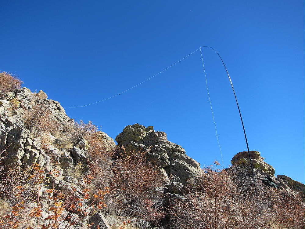
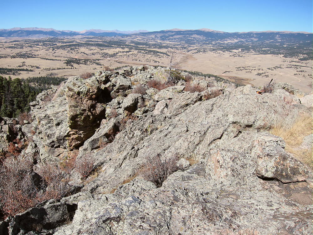
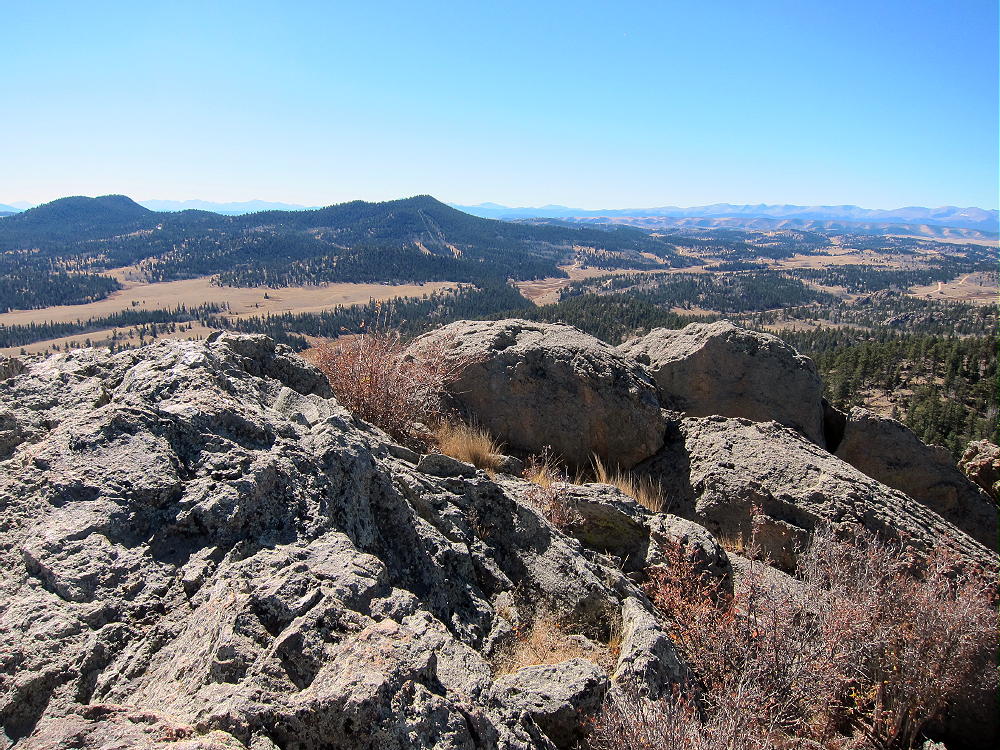
The top is about 670 vertical feet about the campsite below – and much higher than the terrain immediately to the east. The rocky summit is large and relatively flat – it’s easy to set up an antenna pole. Moving around the summit is relatively safe, and the only exposure is around the edge. A convenient dead tree provides a good pole support.
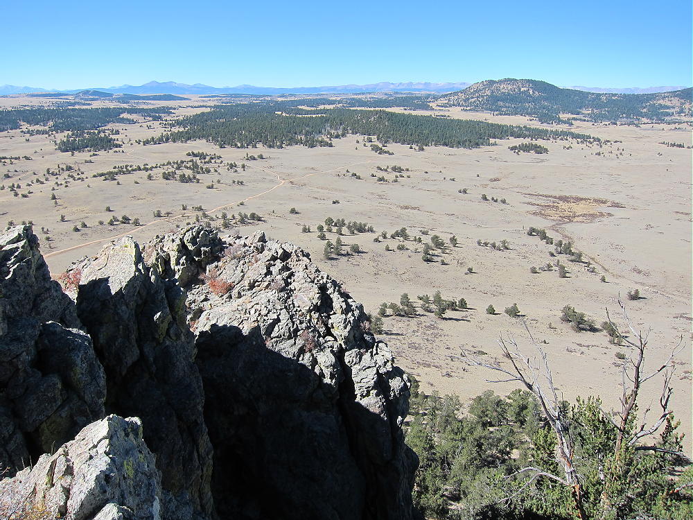
The Rock is effectively an 800-foot tower! There are no peaks nearby to raise the effective wave angle or block signals. With little development nearby, the HF noise level is very low.
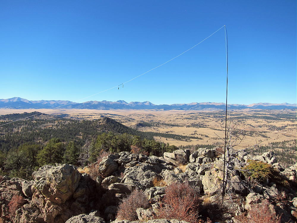
This summit’s probably poor for VHF/UHF contacts, because it doesn’t look down on any population centers. It has good coverage of parts of South Park, but it’s blocked by the mountains surrounding South Park.
The views of South Park and the surrounding mountains are spectacular! You can gaze across vast distances while you’re on the air – it’s an amazing place. The high-point of the trip was when first activator Frank – K0JQZ – called me on 40M CW and told me that Observatory Rock was his favorite SOTA peak.
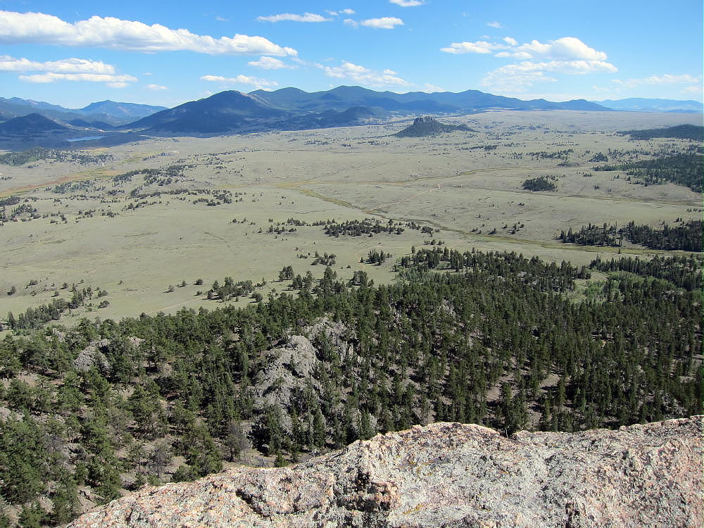
A dual activation of Eagle Rock and Observatory Rock works well on a dry fall day. I was there in the middle of the week, and there was no one else on either summit. Please see the report on Eagle Rock W0C/SP-113 for more information.
I saw no hunters near either mountain, although they were out there. If you go during hunting season, wear hunter orange, and be careful.
Unless the dirt roads are dry, a 4WD vehicle may be required to access this area.
After activating Eagle Rock, the climb and activation of Observatory Rock was a supreme experience! Observatory Rock is a SOTA Classic for several reasons:
• Iconic SOTA Peak
• Unique summit
• Short but challenging climb
• Fine views
• Ideal HF site
• Few visitors
If Eagle Rock was fun, Observatory Rock will be more fun. On the other hand, if Eagle Rock was too freaky, better skip Observatory Rock – it’s higher and more challenging. Both summits are well worth the drive to South Park – but save them for a special day!
73
George Carey Fuller
KX0R
 !! WARNING !! There are old mountaineers, and
bold mountaineers… there are no old-bold mountaineers.
Hiking and mountain climbing are potentially hazardous activities particularly in Colorado with its extreme elevations. I am not accepting responsibility for any death or injury resulting from activations based on my trip reports. Proper training, experience, and personal capability assessment is required – enjoy!
!! WARNING !! There are old mountaineers, and
bold mountaineers… there are no old-bold mountaineers.
Hiking and mountain climbing are potentially hazardous activities particularly in Colorado with its extreme elevations. I am not accepting responsibility for any death or injury resulting from activations based on my trip reports. Proper training, experience, and personal capability assessment is required – enjoy!