W0C/SP-070
11356
3461 M / 11356 ft
Sep 5, 2015 First Activation
July 23, 2016 with N0TA
Peak 11356 stands north of Highway 285, a few miles east of Kenosha Pass.
Key Points:
• Pike National Forest
• Access via Hall Valley
• Hike up Burning Bear Trail
• No marked trail to the top
• Navigation and route-finding required
• Easy off-trail hike
• Seldom visited
• ~ 6.6 miles round-trip
• ~ 1700 vertical feet ascent
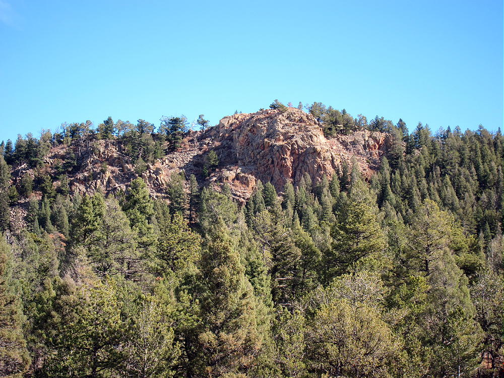
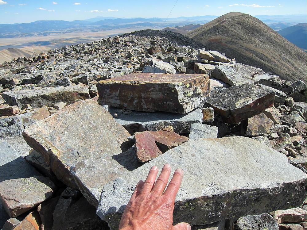
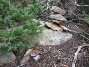
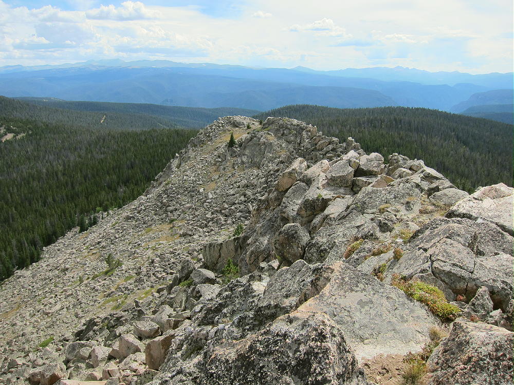
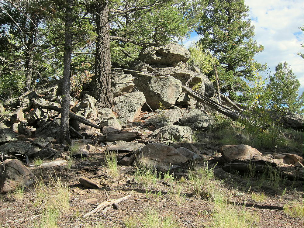
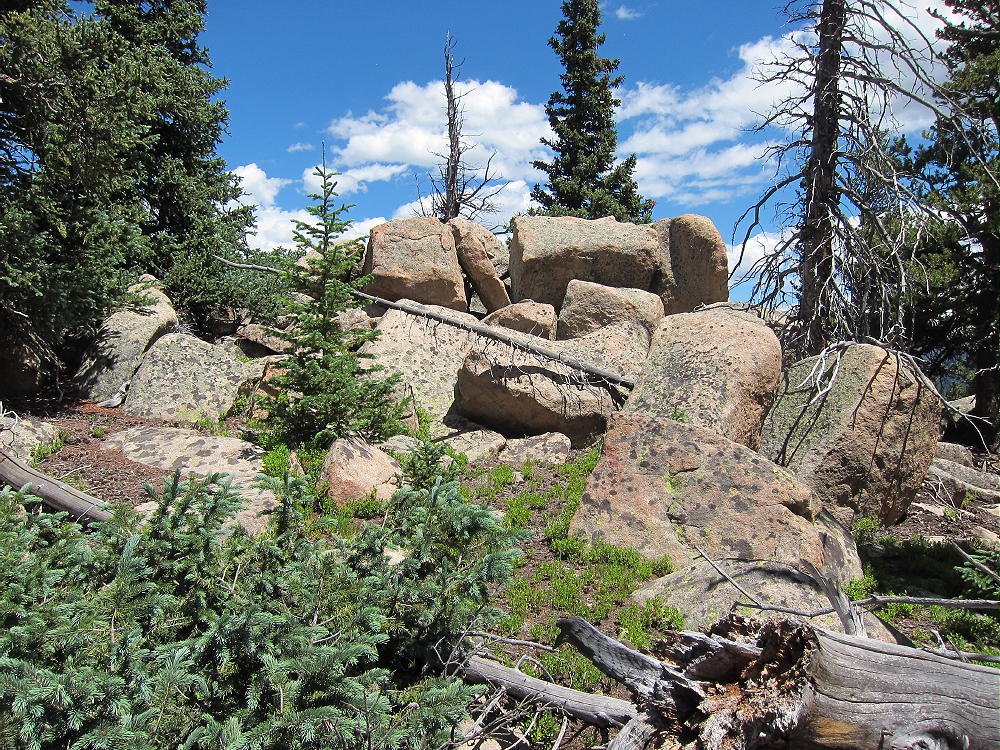
11356 Summit – Pikes Peak Granite?
Driving Directions:
• Drive west from Denver on Highway 285.
• Continue west past Bailey.
• About 3 miles past Grant, turn north on Hall Valley Road CR 60.
• Drive almost three miles up this 2WD dirt road to the marked trailhead for the Burning Bear Trail 601, on the east side of the road.
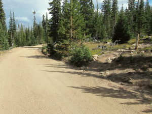
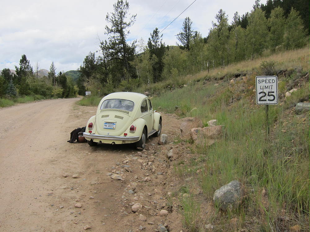
11356 – Burning Bear Trail 601 West Trailhead
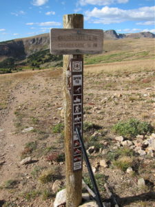
11356 Burning Bear Trail 601 Trailhead Sign
11356 Burning Bear Trail 601 Trailhead Sign
Trail 601 runs across a saddle northwest of Peak 11356. This moderately popular hiking trail runs through Pike National Forest between Hall Valley Road 60 and Geneva Road 62 (southern part of Guanella Pass Road).
CR 60 is the west end of the Trail, and the elevation at the trailhead is about 9650 feet. Burning Bear Trail is closed to motorized vehicles, and it’s open only to horses, bicycles, and hikers. The western approach to the summit is shorter.
The east end of Trail 601 can be accessed from a trailhead along Geneva Creek, via the southern section of the recently-rebuilt Guanella Pass Scenic Byway. This paved road joins Highway 285 at Grant, west of Bailey.
The Hike:
• Trail 601 heads uphill through bristlecone pines.
• Soon it joins Lamping Creek.
• The route continues up the Creek and a tributary to a saddle at 10,750 feet.
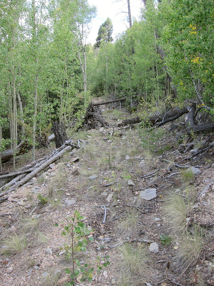
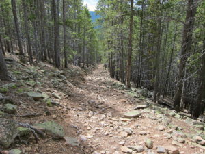
• Most of the trail is an old road. Parts of the route are moderately steep and somewhat rocky
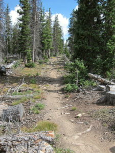
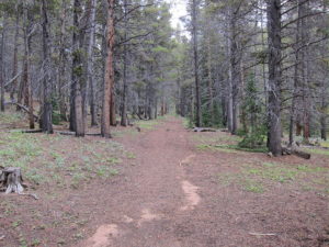
11356 Burning Bear Trail 601 East Side
11356 Burning Bear Trail East of Pass
• The route is efficient.
• The trail’s high point, at the saddle, is only about ¾ mile from the summit
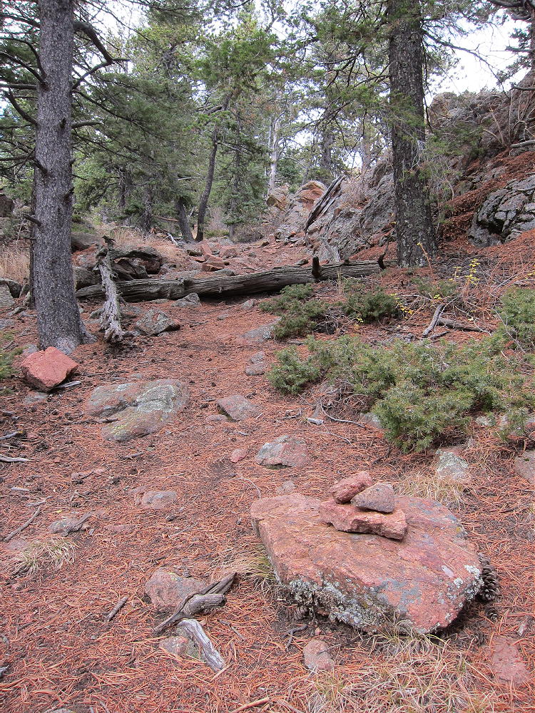
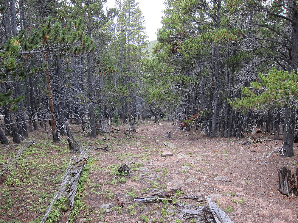
• From the saddle, head southeast along a forested ridge
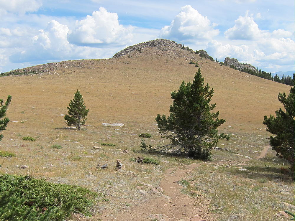
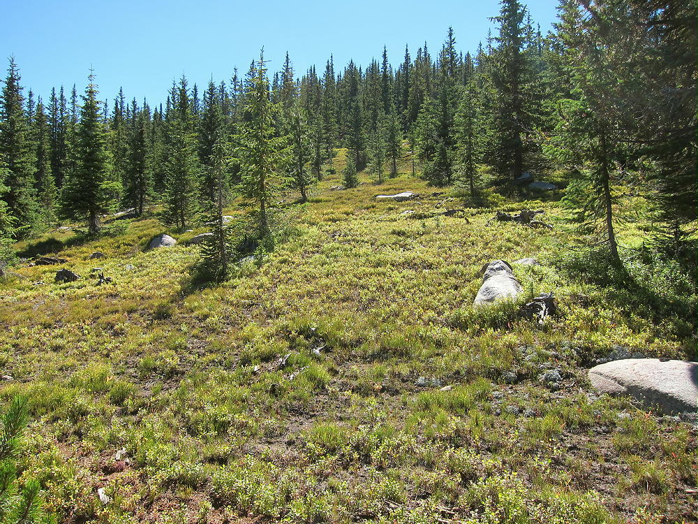
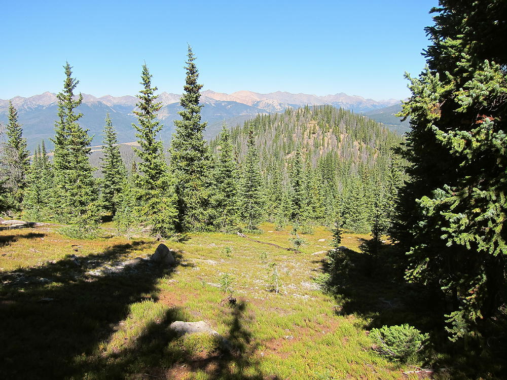
11356 Easy Off-trail Route near Pass
• Climb up the ridge about 0.6 miles to the western sub-peak at about 11,200 feet
• Continue ESE about 0.3 miles along the ridge to the SOTA peak at 11,356 feet
Details:
When I climbed 11356 in September 2015, it was a totally pleasant first activation. Perhaps this peak had not been activated previously because there’s no marked trail to the summit. Otherwise 11356 is an accessible, convenient, fun mountain to climb.
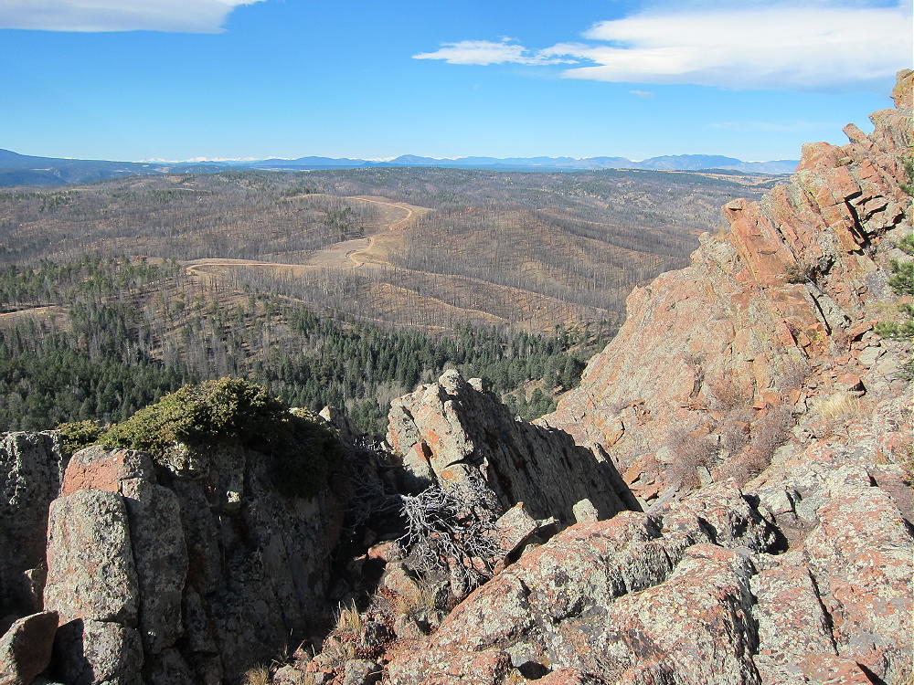
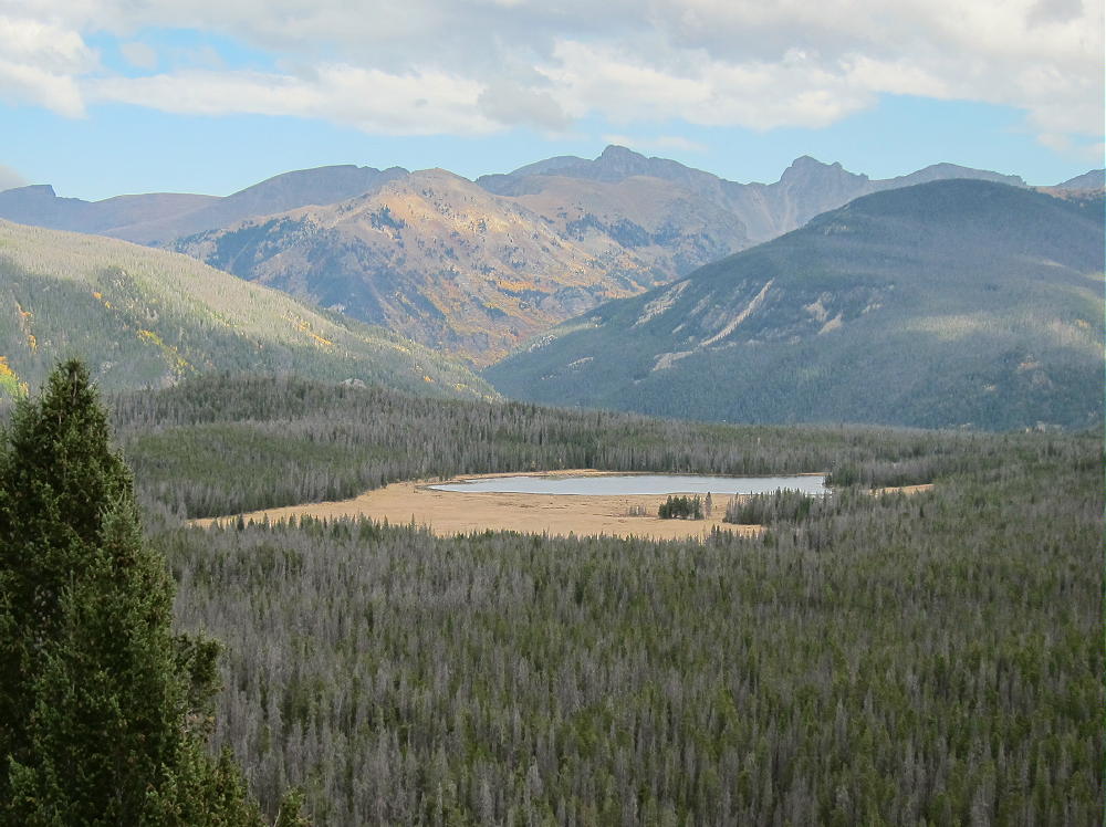
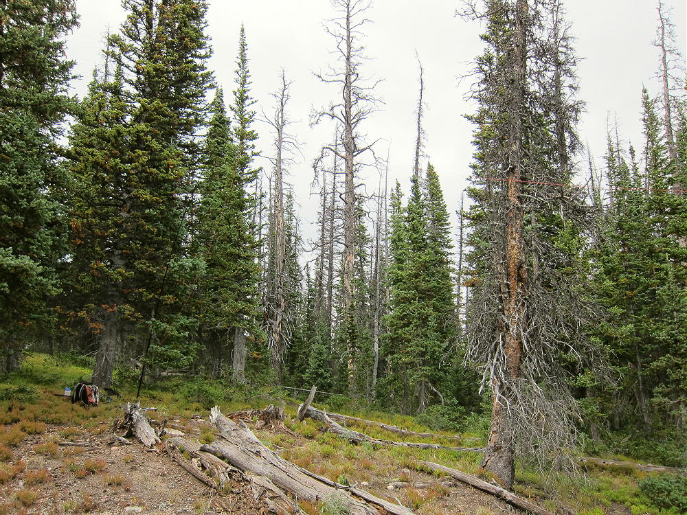
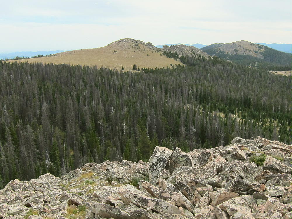
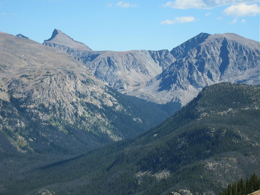
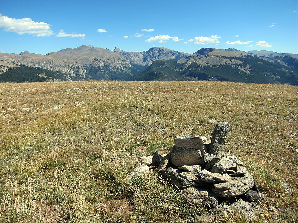
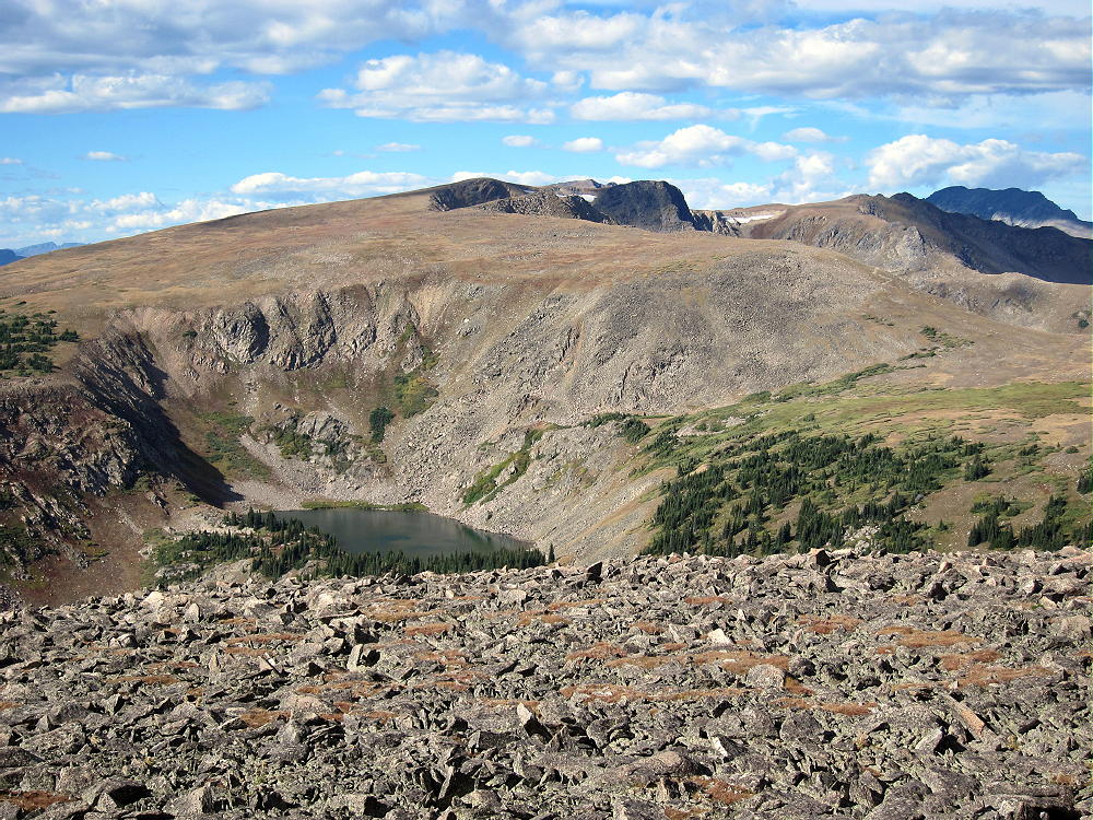
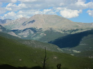
The vertical gain from the saddle to the peak is about 600 feet. Most of the off-trail route is through open sub-alpine forest, with a moderate grade up to the summit. The peak is not visible along most of the hike, but at the western sub-peak at 11,200 feet, the summit is apparent about 0.3 mile to the east. The peak is a prominent, partially-forested, granite knob. There are good views of Mount Logan W0C/FR-017, Mount Bierstadt W0C/PR-015, and Squaretop W0C/PR-018 to the east and north, as well as South Park to the southwest.
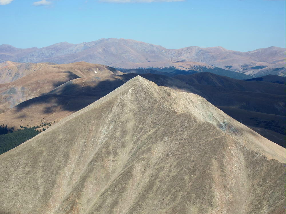
11356 View North to Square Top Mountain
11356 View of Mount Bierstadt
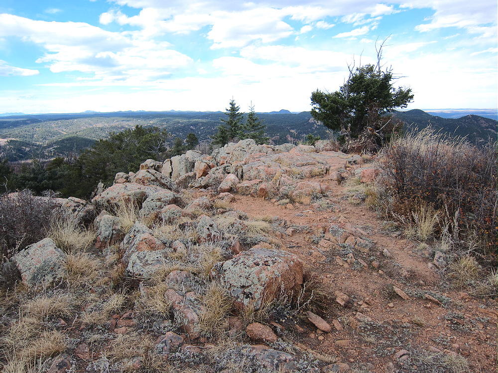
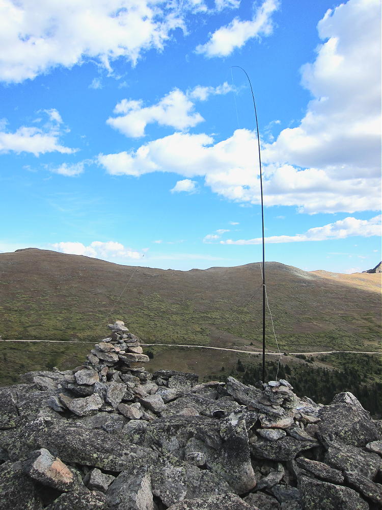
The rocky summit has a large SOTA Activation Zone. Some nice sheltered spots are available among the boulders. Setting up an antenna and operating out of the wind is no problem. Trees for supporting a pole or an antenna are there.
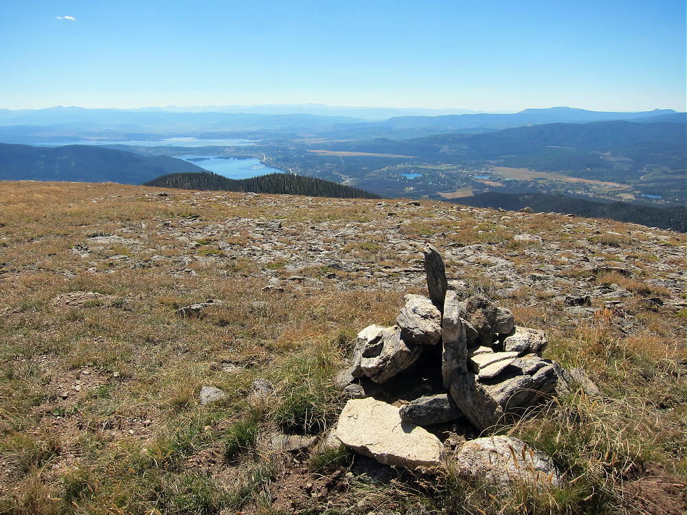
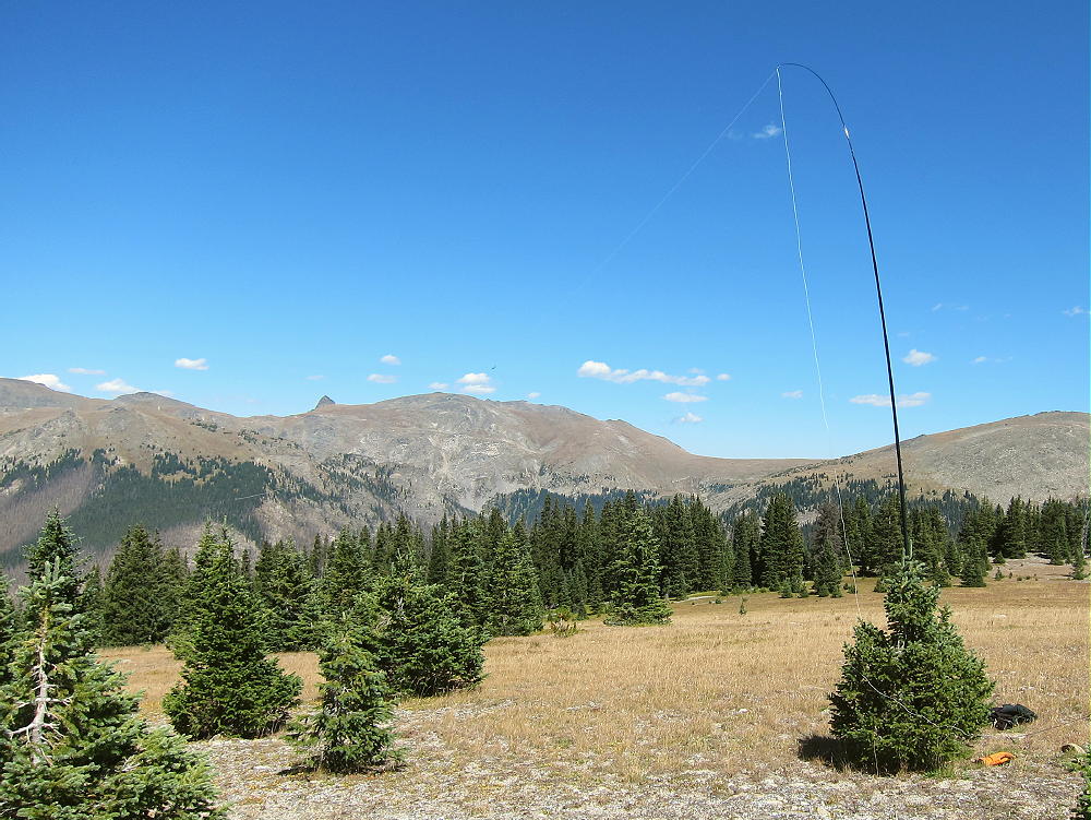
11356 KX0R SOTA Activation Sep 5, 2015
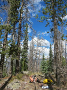
11356 KX0R SOTA Activation July 23, 2016
The site is far from development and power lines, so HF radio noise is minimal. 11356 isn’t a good VHF-UHF site, because it’s partly surrounded by higher mountains, and it’s mostly blocked from the populated areas to the east. For HF it’s almost ideal – no close mountains significantly block skip signals. Few people visit 11356, so there’s no need to set up away from the peak.
The summit looks like it could be activated even when there’s snow on the trail. If Hall Valley Road is open to the trailhead, a winter activation using snowshoes or skis might be practical.
73
George
KX0R
11356 – Trail 601 Bristlecone Pine
!! WARNING !! There are old mountaineers, and
bold mountaineers… there are no old-bold mountaineers.
Hiking and mountain climbing are potentially hazardous activities particularly in Colorado with its extreme elevations. I am not accepting responsibility for any death or injury resulting from activations based on my trip reports. Proper training, experience, and personal capability assessment is required – enjoy!
• Start at Garden Drive, at the northwest corner of Garden of the Gods Park, north of Highway 24 in Colorado Springs.
• The bumpy, heavily-used gravel road FR 300 ascends the range via numerous switchbacks.
• FR 300 then leads northwest along the Rampart Range.
• After ascending for several winding miles, the road levels off somewhat.
• It continues north along the ridge at about 9200 feet.
• About 1-1/4 miles north of the turn to Eagle Lake, marked FR 303 heads .northeast at an intersection at about 9320 feet.
• FR 303 is a good 2WD dirt road.
• Follow FR 303 for about ¾ mile to a fork.
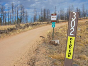
• Turn right on FR 302 and follow it southeast toward Ormes Peak.
Woodland Park Access:
• From Highway 24 at Woodland Park, turn north on Baldwin Street at a stop light at the east side of town.
• This becomes Road 22 and is called “Rampart Range Road” locally.
• Follow this paved road about 3 miles, northeast and then east, up into a canyon.
• Loy Creek Road forks off to the right.
• Follow Loy Creek Road about one mile up to the actual Rampart Range Road FR 300.
• Turn right, south, on the Rampart Range Road FR 300.
• Follow FR 300 for about 6 miles, well past the marked road to Rampart Range Reservoir.
• Marked FR 303 heads northeast at an intersection at about 9320 feet
• FR 303 is a good 2WD dirt road.
• Follow FR 303 about ¾ mile to a fork.
• Turn right on FR 302 and follow it southeast toward Ormes Peak.
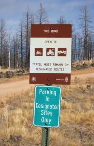
Ormes Peak – FR 302 Signs
Ormes Peak – FR 302 Signs
Regardless of how you drive there:
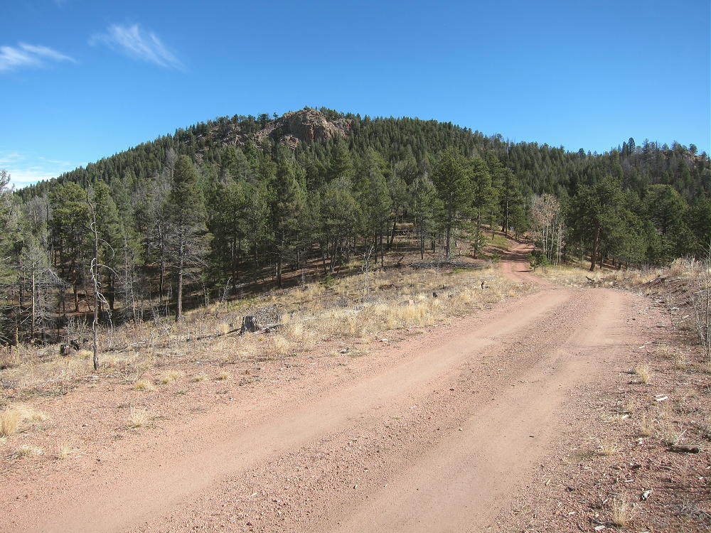
• Follow Road 303 and then FR 302 up over a little hill and down a gully toward Ormes Peak, which is visible to the east.
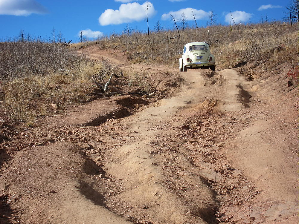
• If this road is wet or snowy, 4WD may be required. The section where the road leads down has bad drainage and can become muddy.
• If the road is muddy or snowy, it may still provide a good hiking route to Ormes – the distance is only about a mile from the 2WD section of the road to the south side of Ormes.
• If the FR 302 is dry, it may be passable in cars with adequate clearance.
Ormes Peak – FR 302 Bad Section
Note: in May of 2016 the muddy spot had an official “Road Closed” sign, but a few people were driving 4WD vehicles through the mud or around it. If the road is closed, park back up at the top of the hill west of the closure and hike in.
• FR 302 is good east of the muddy section – it contours around the southwest, south, and east sides of the mountain.
Ormes Peak Summit from FR 302
• Follow this FR 302 to a point about 0.3 mile southwest of the summit
• Find a small side road leading north up into the woods on the left (north) side of FR 302.
• This is the only such road on this side of the peak.
• The only marking is a small sign with a letter “P”, indicating that it’s OK to park there.
• Follow the little side road up to a large campsite on a low ridge.
• Continue east along the ridge to a second campsite; then follow a faint social trail east up the hill toward the summit.
• This trail gradually gets steeper as it ascends.
• Occasional cairns mark the route as it approaches and climbs the southwest side of the peak.
Ormes Peak – South Side Trail near Summit
• The path leads north up a sloping ramp through some rocks to the top.
• The actual summit is a short distance up to the north.
• This route measures about 0.4 miles, with about 375 vertical feet of gain, from FR 302 to the summit.
Ormes Peak Summit
There’s also an OK route up the moderate southeast ridge of Ormes.
• There’s a large marked parking spot where the road bends sharply around the southeast ridge toward the east side.
• Hike northeast along the partially-burned ridge toward the summit.
• There’s no marked trail, but game trails lead through the open forest.
• The south ridge is rocky near the top.
• Skirt around the outcrops as required.
• Near the top, hike along the west side of the ridge.
• A small trail is marked with cairns (see above).
• The path leads north up a sloping ramp through some rocks to the peak.
• The actual summit is a short distance up to the north.
• This route to the top is about 2/3 mile from the road, with a vertical gain of about 350 feet.
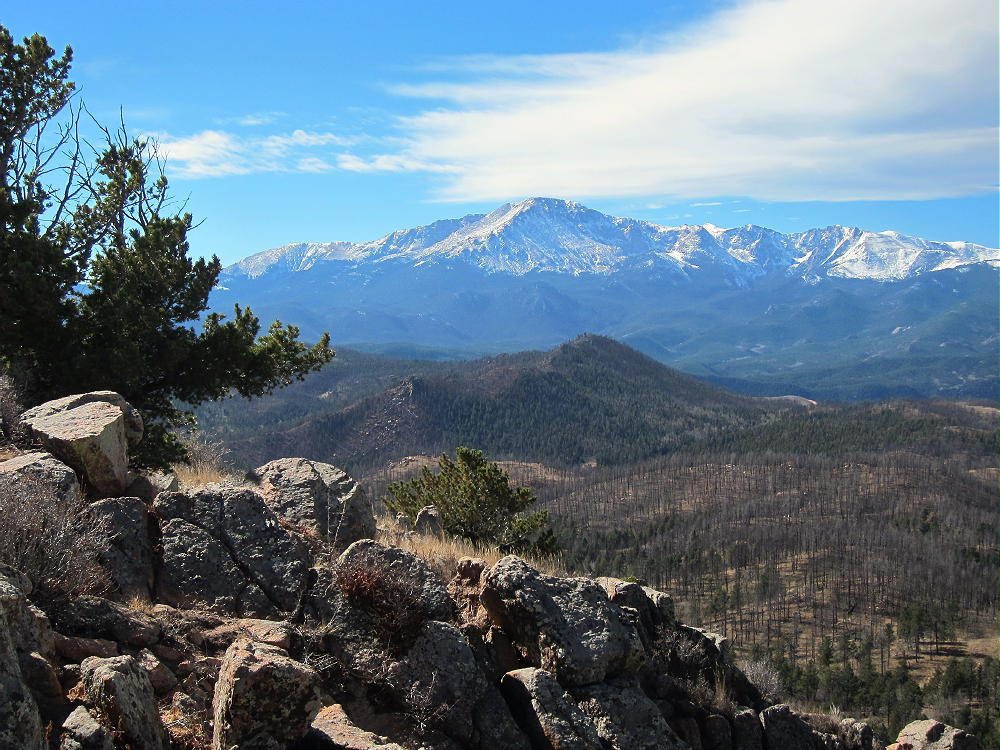
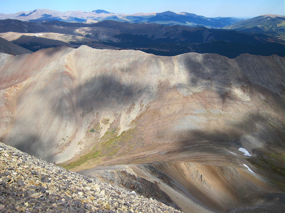
The top of Ormes Peak is mostly open, with fine views in several directions. Pikes Peak stands high to the south, Devils Head is up north, and Mount Herman rises northeast above the Plains. Thunder Butte W0C/FR-048 is lined up with nearby Rampart Range Reservoir and some alpine peaks on the other side of South Park, way out to the northwest. Some of the Collegiate Peaks, including Mount Princeton, are visible on the horizon. Huge burned areas stand dead, killed by the Waldo Canyon Fire southeast of the peak.
Ormes Peak – View West
Ormes Peak – View of Pikes Peak
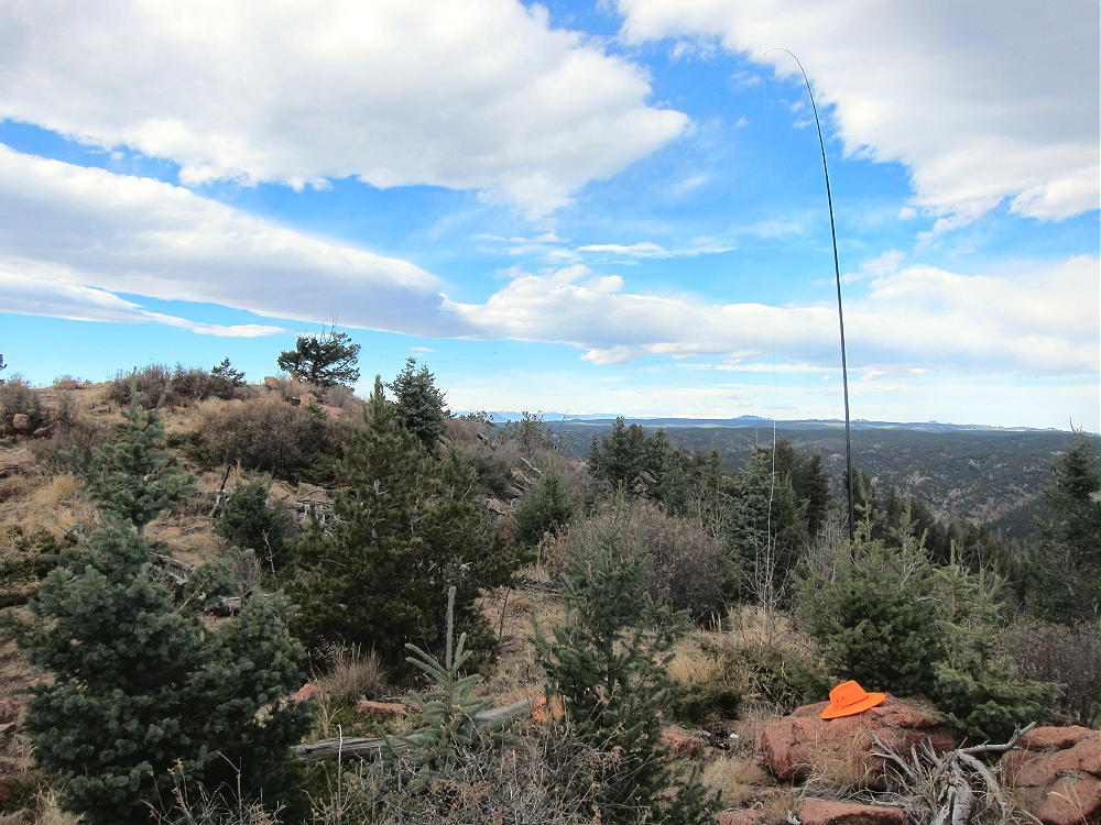
The SOTA Activation Zone is large; there are useful trees and many bushes. I found a pleasant spot to set up my gear southeast of the peak. Setting up on top would be OK if the weather’s ideal.
Ormes Peak – KX0R SOTA Activation
Ormes Peak is an excellent HF summit, with no close development; the RF noise level is low. It also is fine VHF/UHF peak – it has coverage of populated areas in and near Colorado Springs, as well as large areas of the Plains.
Ormes could be combined with other SOTA peaks nearby for a dual activation:
Ormes has relatively good access in late spring, summer, and fall. It’s easy to climb and activate, and it offers a pleasant summit not visited by many people. Give it a try!
73
George
KX0R
!! WARNING !! There are old mountaineers, and
bold mountaineers… there are no old-bold mountaineers.
Hiking and mountain climbing are potentially hazardous activities particularly in Colorado with its extreme elevations. I am not accepting responsibility for any death or injury resulting from activations based on my trip reports. Proper training, experience, and personal capability assessment is required – enjoy!
• Relatively easy high summit
• Access via Loveland Pass
• Trail to the top
• Fine HF site
• Great scenery
• ~ 3.6 miles round trip
• ~ 1350 vertical feet to the summit
• ~ 100 vertical feet on the return
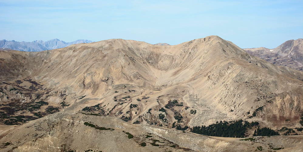
Mount Sniktau from Kelso Mountain, Oct 16, 2015
Driving Directions:
• Drive west from Denver on I-70
• Exit east of the Eisenhower Tunnel on Route 6
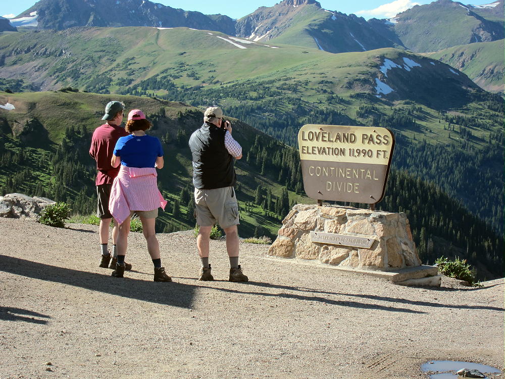
• Follow the highway several miles up to Loveland Pass
• Park near the 12,000-foot Pass
• Loveland Pass is a popular spot, and parking is limited
• There’s additional parking south of the Pass
Mount Sniktau – Loveland Pass Trailhead
The Hike:
• Hike about 0.8 mile northeast up the ridge trail to a higher ridge at 12900 feet. This part of the route is along the Continental Divide.
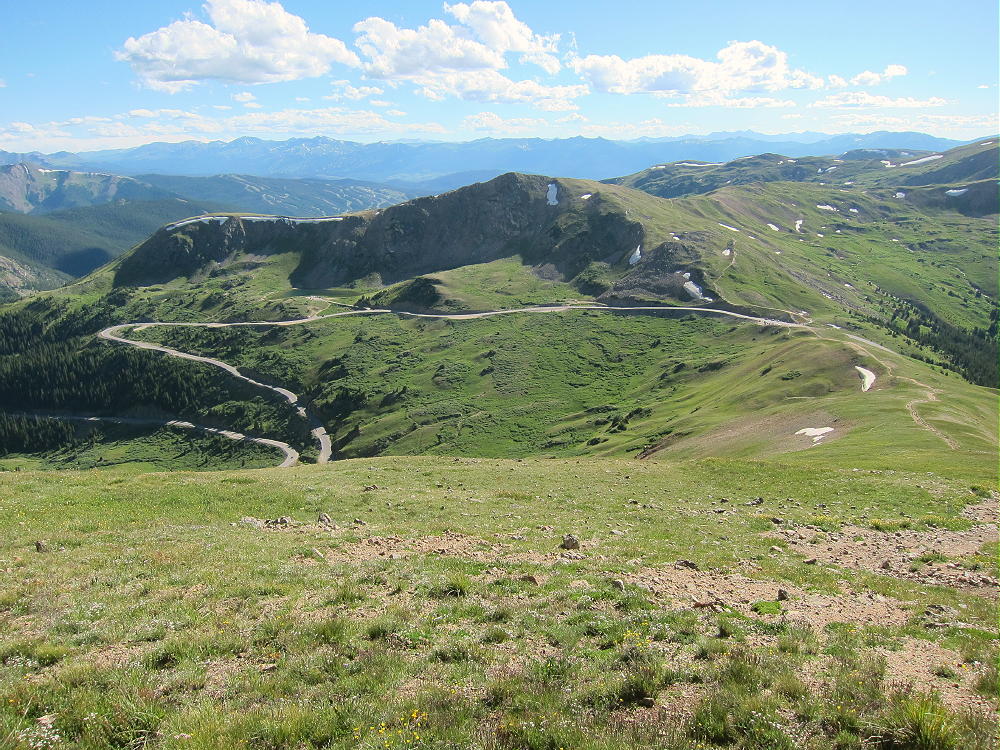
Mount Sniktau – View Down Trail along Divide to Loveland Pass
• Continue north along the higher ridge for about 1.0 mile to Mount Sniktau
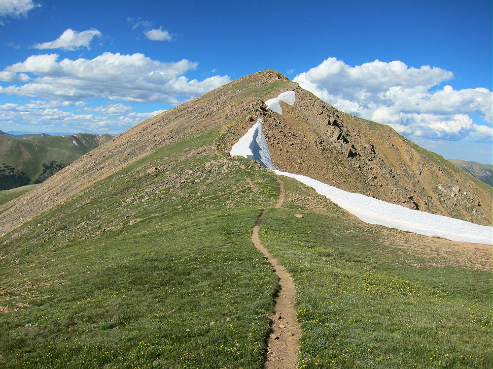
Mount Sniktau Trail Looking North along Upper Ridge
Details:
Because of the high location, dangerous afternoon thunder storms may occur in spring and summer; an early start is recommended.
The entire hike is above tree-line along rocky ridges.
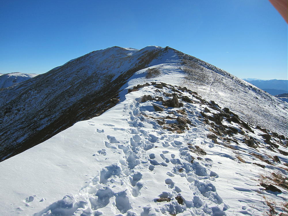
Mount Sniktau Upper Ridge Route, View South
On a day with wind, this might be a challenging hike. The temperature may be cold, even in summer. If conditions are good, this is one of the easier high summits near Denver. The views of the nearby mountains are spectacular.
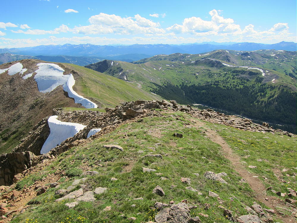
Mount Sniktau – View Southwest toward Loveland Pass
The alpine summit has a convenient, relatively flat top; the activation zone has plenty of room for an HF antenna. If there are many other hikers, it might be best to set up away from the actual peak. A pole is needed for erecting a wire antenna.
Mount Sniktau SOTA Activation July 25, 2015
Mount Sniktau SOTA Activation Nov 9, 2016
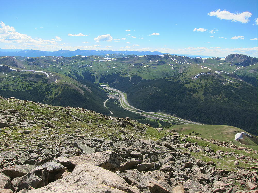
Sniktau has no development close by, and the HF noise level is low. The peak looks down on I-70, the Eisenhower Tunnel, and ski areas far below.
Mount Sniktau – View of I-70 Tunnel
There are several higher peaks to the south and north. VHF/UHF coverage of the populated areas to the east is partially blocked by numerous mountains, but it may be possible to make some contacts anyhow.
Mount Sniktau – View Northeast
Mount Sniktau is a fine HF site. I had a relatively short activation, with only 18 contacts on 10, 14, and 21 MHz CW. However, one of those contacts on 21 MHz was VK5CZ, Ian, in South Australia; and Jean, VE2JCW/M, worked me on 14 MHz, mobile from Quebec! On Nov 9, 2016, I made 41 CW contacts on 10, 14, and 18 MHz.
There are numerous other high SOTA peaks within sight of Sniktau. A few of these summits might be combined with Sniktau for a dual activation, although long hikes are required to reach the summits of most high peaks. Possibilities include:
W0C/PR-022 Grizzly Peak 4084 m / 13427 ft 2-1/2 miles south W0C/SR-025 Pettingell Peak 4123 m / 13553 ft 4 miles NW W0C/PR-044 Coon Hill 3881 m / 12757 ft 5 miles west W0C/FR-054 Douglas Mountain 2905 m / 9550 ft near Empire
Mount Sniktau is a fine alpine SOTA peak with relatively convenient access. On a good day, it offers an ideal alpine SOTA activation!
73
George
KX0R
Mount Sniktau – View of Torreys Peak
Mount Sniktau – View of Torreys Peak
!! WARNING !! There are old mountaineers, and
bold mountaineers… there are no old-bold mountaineers.
Hiking and mountain climbing are potentially hazardous activities particularly in Colorado with its extreme elevations. I am not accepting responsibility for any death or injury resulting from activations based on my trip reports. Proper training, experience, and personal capability assessment is required – enjoy!
W0C/PR-019
Bald Mountain
4171 m / 13,684 ft
Sep 19, 2016
By KX0R
Bald Mountain is a challenging, exciting, alpine summit near Boreas Pass, south of Breckenridge.
Key Points:
• White River National Forest
• Challenging high altitude hike
• Marked trail part way
• Ridge route partly on the Continental Divide
• No marked trail to the summit
• Superb alpine scenery
• Excellent HF site
• ~ 6.5 miles round-trip
• ~ 2700 vertical feet total
• SOTA Classic!
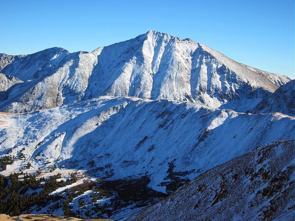
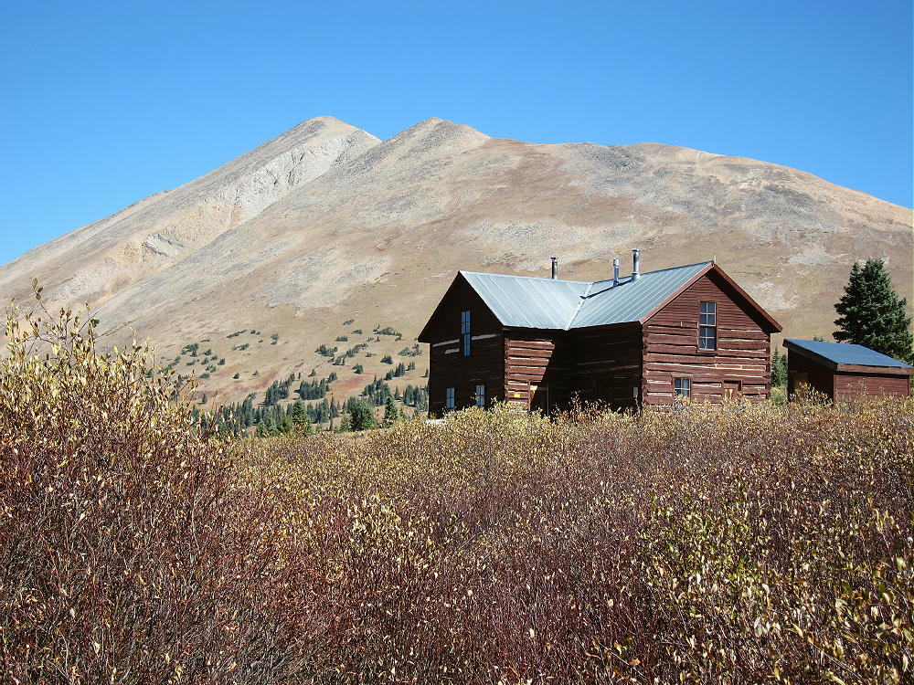
Bald Mountain and Section House
Driving Directions:
• Drive west on Highway 285 and cross Kenosha Pass
• Continue west on Highway 285 about 10 miles
• Turn north on CR 33 and drive about ½ mile to Como
• Pass through Como and drive up CR 33 about 9 miles to Boreas Pass at 11482 feet
• The route follows a historic narrow gage rail line and continues all the way across to Breckenridge
• CR 33 is an OK unpaved road, with several rough, rocky sections, but most cars can make the trip along the railway roadbed
• Park off the road at Boreas Pass, near the old Section House
• This is the trailhead
The Hike and Climb:
• Google Maps shows none of the hiking trails near Boreas Pass
• You need a detailed topo map to navigate the area
• GPS is very useful up there
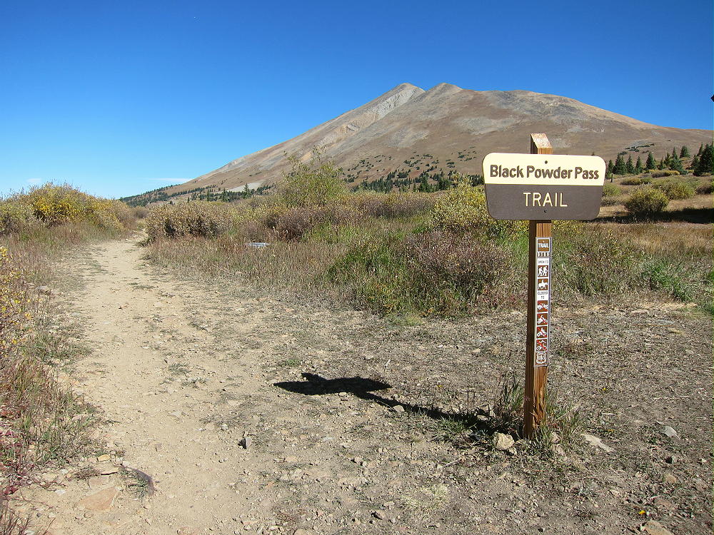
• Follow the marked Black Powder Pass Trail as it leads north of the Section House along a water ditch
Bald Mountain – Black Powder Pass Trail
• The pleasant trail heads northeast up a gulch and climbs to Black Powder Pass at about 12,160 feet.
• Leave the trail and climb north up the ridge from the Pass.
Bald Mountain Climb – Boreas Mountain and Black Powder Pass
• Continue climbing generally northwest along the rocky ridge for almost 2 miles, across several sub-peaks, and climb up to the alpine summit.
Bald Mountain Route – South Ridge to South Peak
• The actual SOTA summit is the north peak, but the highest of the southern sub-peaks is almost the same elevation; be sure you traverse the entire rocky ridge and activate the SOTA peak.
Bald Mountain South Summit – Ridge to North Summit
• This is not an easy 13-er with a pleasant trail up through grassy tundra, etc. It’s a serious mountain, and you have to watch your steps and be careful!
Additional Details:
Black Powder Pass is a nice tourist destination, with fine views off both sides. I saw a herd of mountain goats there.
Some route-finding is required along the high ridge to the summit. There are some cairns, and a climbers trail runs along much of the ridge; however, in some spots you may have to ascend talus or climb over boulders to get over the sub-peaks. The entire route need not exceed class 2, but you may find yourself doing a few simple class-3 moves, just because it’s a big mountain with many choices.
Bald Mountain – South Ridge Route
Bald Mountain – Talus on Ridge Route
Bald Mountain is an excellent 4000+ meter climb! There’s no serious exposure anywhere along the ridge route. The views are continuously awesome! Mount Guyot is particularly impressive less than 2 miles off the northeast side.
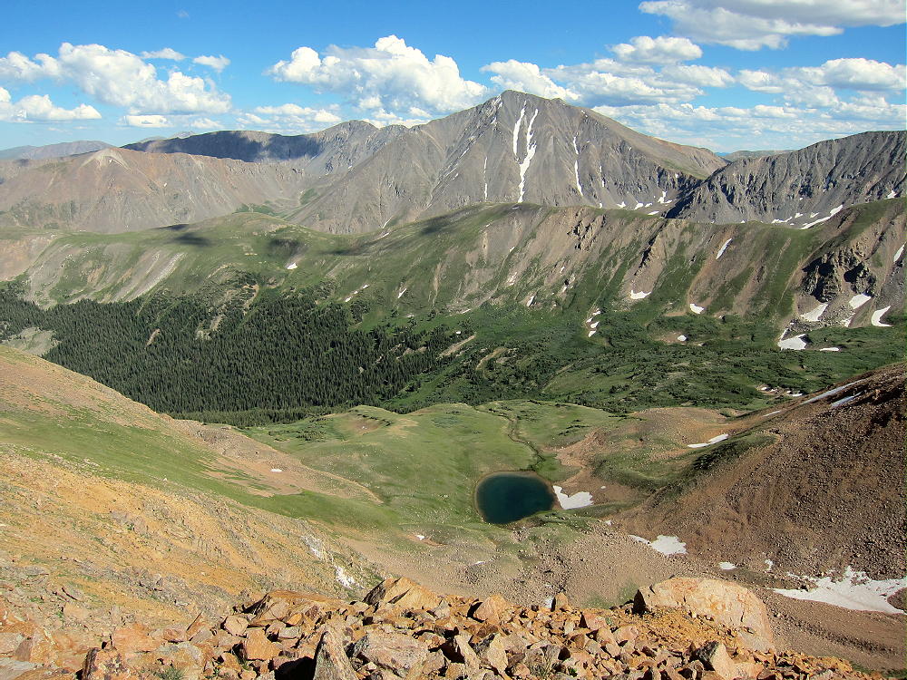
Bald Mountain View South, Boreas Mountain, Little Baldy, and Siverheels
Many 14-ers are visible in the distance – Quandary, Grays,Torreys, etc. Pikes Peak is easy to spot about 60 miles to the southeast! This is real high country in all directions! The summit is a nice climax for the long hike up over so much rock.
This hike is also a geology field trip. Steeply dipping paleozoic sedimentary multi-colored rock beds appear along the high ridge, over toward Guyot, and in the peaks to the southwest.
Bald Mountain – Paleozoic Sedimentary Beds West of French Pass
The summit of Bald Mountain seems to be made of blocky Sawatch quartzite.
Bald Mountain – Sawatch Quartzite Blocks on Summit
The historic gold mines of Breckenridge are right down below. Lots of gold is still inside these mountains.
I climbed Bald Mountain on an absolutely perfect day. When I ascended the south summit, I felt like I’d gone up to heaven. Why not, with stunning scenery, warm sunshine, and almost no wind? The north summit was a perfect spot to set up and activate, with a cozy wind shelter right on top! I had an incredibly easy activation, with strong signals, etc. I made 42 CW contacts on three HF bands.
Bald Mountain Activation Radio Gear
Bald Mountain Activation
This peak is likely a fair VHF/UHF summit, with coverage across large parts of South Park, the area near Breckenridge, and up north near Lake Dillon.
I had the summit all to myself, although I saw a few other climbers on the ridge. It was so nice I didn’t want to descend and traverse the long ridge back to the south. The longer I stayed up there in the afternoon light, the more beautiful everything became!
Mount Guyot with Mount Evans in the Distance
The return trip over the various sub-peaks takes some time. Each one seems a little higher than it did earlier in the day; it’s a long time at high altitude. It feels really nice to return to the easy trail below Black Powder Pass!
The long alpine ridge of Bald Mountain is a dangerous place in bad weather. In summer an early start is essential. This peak is so nice that it should be saved for a special day when everything is just right.
Bald Mountain East Side – French Pass Sedimentary Rocks
There’s a route up Bald Mountain’s northwest ridge from near Breckenridge, but I have no experience with that approach.
For a dual activation, consider these two nearby summits:
Madonna Dome W0C/SP-051 Easy – access from Boreas Pass
Boreas Mountain W0C/SP-030 More challenging – same access
73
George
KX0R
Bald Mountain – Alpine Fall Color
!! WARNING !! There are old mountaineers, and
bold mountaineers… there are no old-bold mountaineers.
Hiking and mountain climbing are potentially hazardous activities particularly in Colorado with its extreme elevations. I am not accepting responsibility for any death or injury resulting from activations based on my trip reports. Proper training, experience, and personal capability assessment is required – enjoy!
• Arapaho National Forest
• Good marked trail much of the way
• Near scenic Strawberry Lake
• Off-trail final climb, about one mile to a pleasant summit
• Nice scenery – near-wilderness
• Summit is rarely visited
• ~ 6.4 miles round-trip
• ~ 1700 vertical feet
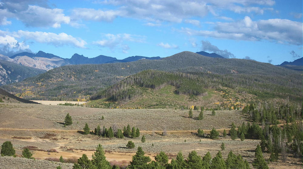
10004 – View from Near Lake Granby – Forested Peak Just Right of Center
Driving Directions:
• Drive west from Denver on I-70
• Turn north on Highway 40
• Cross Berthoud Pass, drive through Winter Park, and continue north to Granby
• Just past Granby, turn north on Highway 34
• Follow 34 about 5 miles to Lake Granby
• Turn right, east, on Road 6
• Drive east along the lake, toward Monarch Lake, for about 6 miles
• The Strawberry Lake Trailhead is where the trail along Strawberry Creek reaches the road.
• Google Maps shows the trailhead, but not the trail.
• Google Maps trailhead coordinates: 40.1138, -105.804
• USFS maps don’t show the trailhead or the trail
• The trailhead is about ¼ miles west of a visible point of land that extends north along the shoreline.
• The trail may be marked, but there’s no large sign or anything obvious.
• Park on the north side of the road
• Parking is free.
The Hike:
• Even though poorly mapped and marked, the Strawberry Lake Trail is a good built, maintained trail.
10004 – Strawberry Lake Trail
• The trail follows Strawberry Creek up to Strawberry Bench and Strawberry Lake.
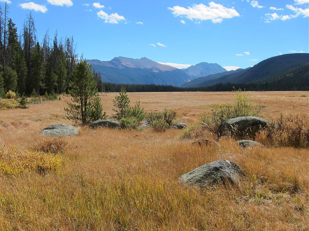
• Hike the trail up about a mile to the huge meadows west of Strawberry Lake.
10004 Route – Strawberry Bench
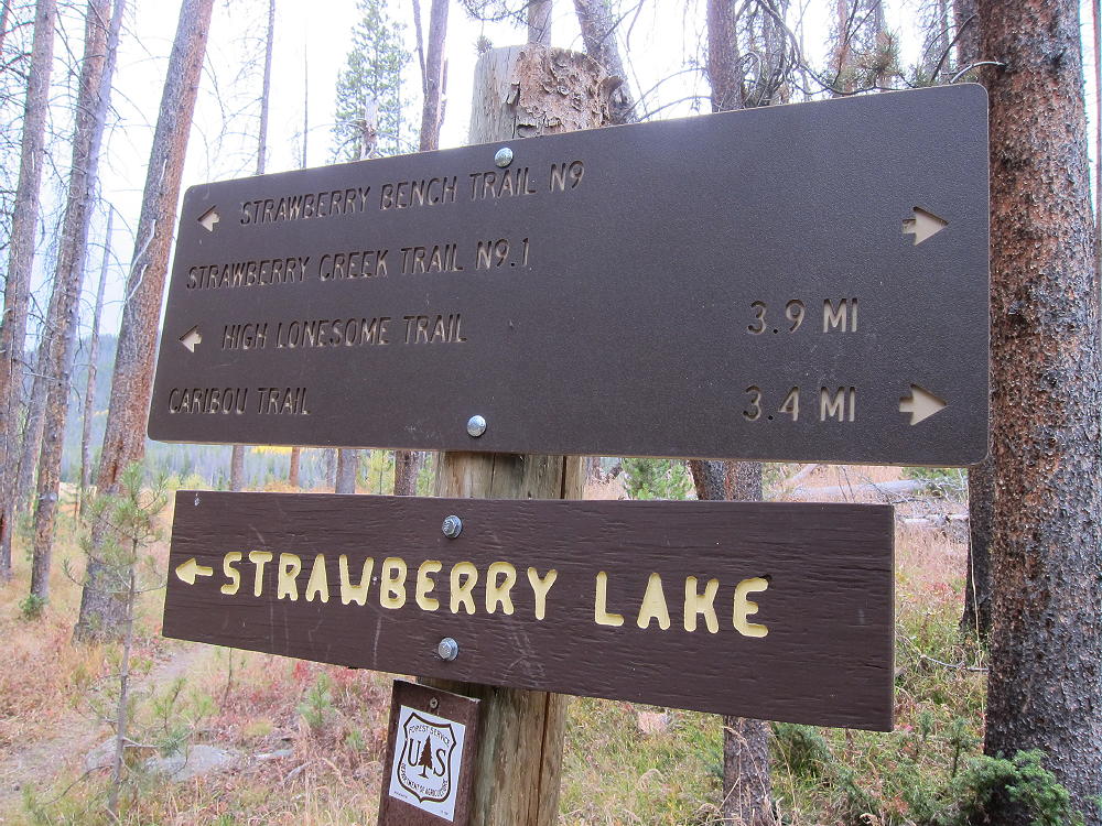
• At a marked trail junction with Strawberry Bench Trail 9, head west on Strawberry Creek Trail 9.1.
10004 – Trail Junction for Trail 9.1
• Trail 9.1 isn’t shown on Google Maps.
• Follow this good trail west for almost a mile, as it climbs to a saddle.
• 10004 is visible to the right, west of the saddle.
• Near the saddle, east of where the trail descends southwest into a valley, head northwest off the trail through open forest.
• Climb NW about 0.2 mile up to a saddle on a low ridge running east-west at about 9350 feet.
• Follow the ridge WSW, and climb about ¼ mile up to another ridge at about 9680 feet.
• Game trails help make this route relatively easy.
• At 9680 feet, follow game trails northwest along the obvious ridge, up to the summit
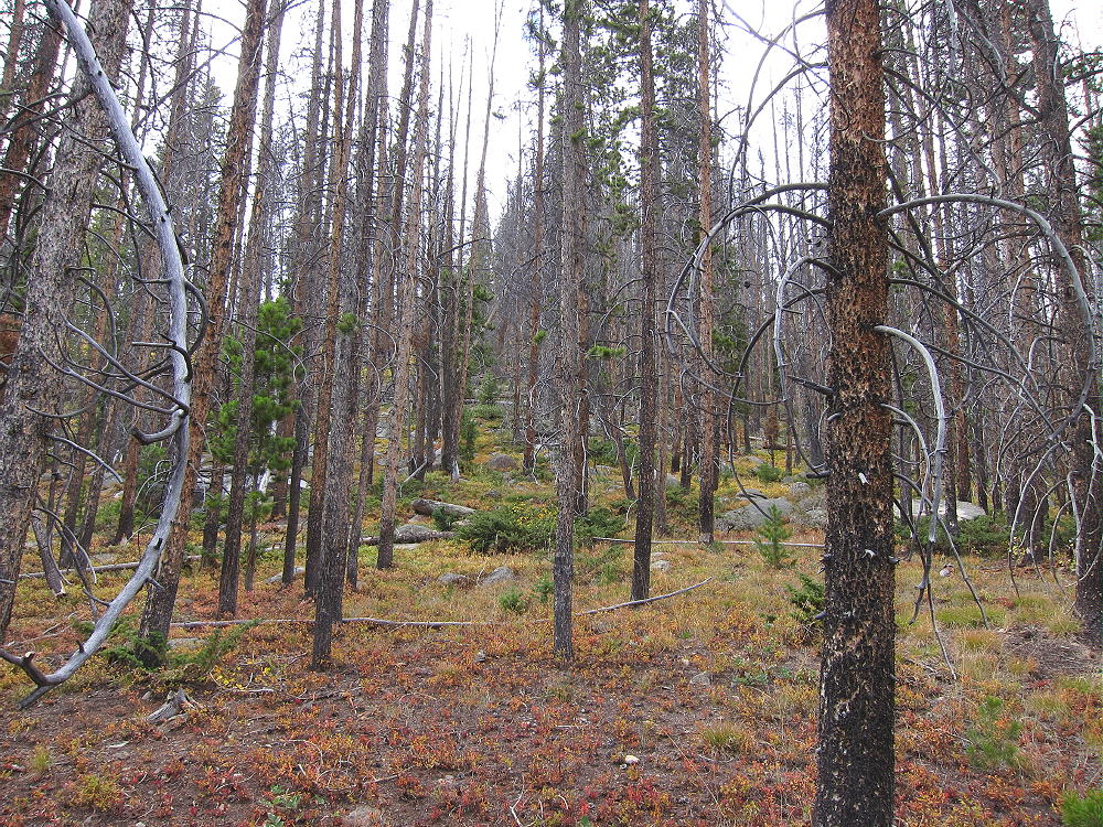
• The off-trail part of this hike is relatively easy, with little actual bush-whacking, but there’s some deadfall.
10004 Route up Summit Ridge
• GPS is useful and recommended for this hike.
• Be careful to return to the main trail by the same route used for the ascent.
Additional Details:
The hardest part of this trip was finding the Strawberry Lake Trailhead! I was looking carefully for it and still drove right past it. You have to look for the actual trail – there wasn’t much to see when I was there. Perhaps someone removed a sign. The place where the Creek comes down is at an indentation in the shoreline of the Reservoir, just west of a point on the shore, near the west end of Arapaho Bay. Look for the Creek and its valley, and you’ll eventually see the trail. Be sure you have a map or GPS handy when you approach the trailhead.
The summit is pretty easy to find. You can see where it is before you leave Trail 9.1. Once on the ridge, just continue to the highest bump. The large activation zone is forested and pleasant, and there are plenty of trees to support an antenna or a pole.
10004 SOTA Activation Radio Gear
10004 SOTA Activation
There’s no development for miles, so there’s little RF noise, and the site is perfect for HF. It’s not blocked in any direction for skip signals. However, this is likely a poor site for VHF/UHF, except in the area around Lake Granby.
Views from the summit of 10004 are limited by the trees, but Lake Granby is visible far below.
10004 View North Across Lake Granby
From the east ridge, there’s an open view of Strawberry Lake on its immense glacial bench, with the Indian Peaks not far in the distance.
10004 – View East Across Strawberry Bench to Indian Peaks
Along with activating 10004, you might want to take a short side-trip east on Trail 9 to Strawberry Lake. This is a special place, and access is restricted to a protected viewing spot. A sign near the lake explains about the fragile shoreline and why protection from people walking there is important. There are no fish in the lake. The area gets some use from campers and hikers in the warmer months. This might be a good place to see elk or moose, but I saw none – but there are game trails and tracks all through the woods.
10004 – Side Trip to Strawberry Lake
The day I was there, a brief rain squall came in suddenly, and it was fun to be there with rain drops splashing in the lake.
73
George
KX0R
!! WARNING !! There are old mountaineers, and
bold mountaineers… there are no old-bold mountaineers.
Hiking and mountain climbing are potentially hazardous activities particularly in Colorado with its extreme elevations. I am not accepting responsibility for any death or injury resulting from activations based on my trip reports. Proper training, experience, and personal capability assessment is required – enjoy!
W0C/FR-130
Laramie Mountains HP
3359 m / 11020 ft
Aug 29, 2016
By KX0R
The Laramie Mountains High Point is a relatively easy, fun SOTA peak in the Laramie Mountains of Northern Colorado. This route description is for hiking up the mountain (see notes about road access below).
• Roosevelt National Forest
• Highest summit in the Laramie Mountains
• Interesting, moderate hike
• Several interesting adjacent peaks
• Nice scenery – fine views of N CO and S WY
• Fine HF site
• 2WD forest road close to the peak
• Almost a drive-up summit, if you choose
• New communications site on the peak
• Google Maps do not show the roads and trails in this area adequately
• ~ 8.0 miles round trip, via Killpecker Trail route detailed here
• ~ 9.0 miles round trip, including side trip to Middle Bald Mountain
• ~ 1850 vertical feet, via Killpecker Trail route detailed here
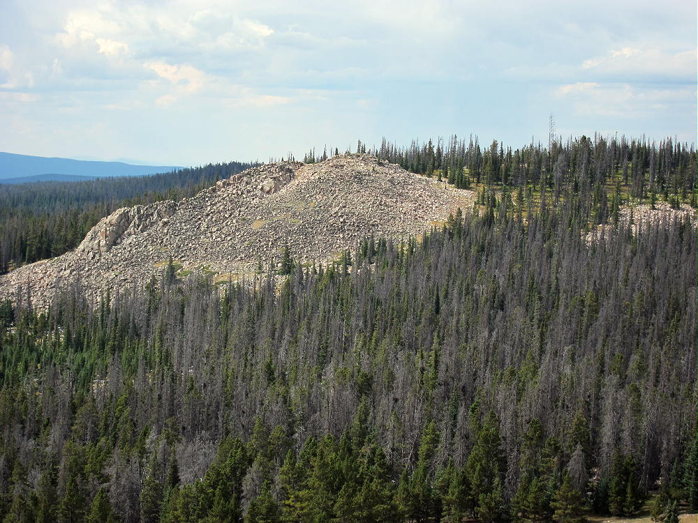
Laramie Mountains HP from Middle Bald Mountain
Driving access:
• Drive to Fort Collins
• Continue northwest about 21 miles on Highway 287
• Turn west on Highway 74E at Livermore
• Drive to Red Feather Lakes
• Continue west about 1.5 miles
• Take CR 86 “Deadman Road” – do not follow CR 73C north
• This road is a pretty good 2WD dirt road, except for wash-boarding
• Follow CR 86 for about 7 miles to the North Fork of the Cache la Poudre River
• Look for an obvious parking area and marked trailhead just east of the North Fork Poudre Campground
• Park at the trailhead – parking is free
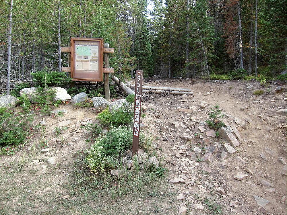
Laramie Mountains HP Killpecker Creek Trailhead
The Hike:
• The route is via the Killpecker Trail 956
• This trail leads up along Killpecker Creek and climbs all the way up to Middle Bald Mountain
• Trail 956 is not shown on Google Maps
• The USFS map shows the campground, the trailhead, the forest roads, and Trail 956 – but not the W0C/FR-130 summit.
• The trail provides a nice hike and is worth the effort
Laramie Mountains HP Killpecker Trail
Laramie Mountains HP Killpecker Creek
• Follow the maintained Killpecker Trail up south, along the beautiful creek coming down the north side of the mountain
• After about 2 miles the trail leaves the creek and climbs through open forest
• The trail crosses Forest Road FR-300 three times
Laramie Mountains HP Killpecker Trail Crossing
Laramie Mountains HP Killpecker Trail near the Top
• After the third road-crossing, the trail ascends straight south up a moderately steep hill to about 10,960 feet elevation
• At the top of this hill, the trail curves slightly eastward
• Leave the trail near the eastward bend, and hike approximately west to the SOTA peak.
• The peak stands in the forest about 700 feet west of the bend in the trail.
• The actual summit isn’t visible from Trail 956
• The point where you leave the main trail isn’t marked.
• GPS is helpful navigation at this point
• The correct off-trail route runs west, slightly downhill along a gentle forested ridge to a saddle
• Then follow the ridge southwest up to the High Point.
• There are hints of an old trail along the ridge.
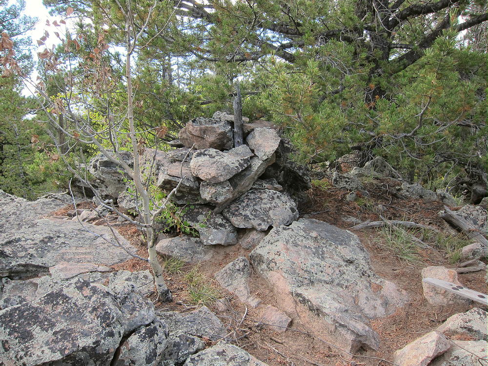
• There’s a little cairn and a register in a jar at the summit.
Laramie Mountains HP Summit Cairn and Register
Laramie Mountains HP Communications Facility
• You may not see the radio tower until you reach the peak
• The correct SOTA peak W0C/FR-130 is the highest summit among several high, widely-separated sub-peaks, several of which are near or above 11,000 feet, all part of a high massif of at least two square miles!
• Be sure you climb the correct summit! See details below:
Details:
The last part of the hike is an interesting navigation exercise. You need a topo map of the area, and/or a GPS unit with a waypoint showing the location of W0C/FR-130.
There are possible points of confusion:
1) Trail 956 ascends to about 10,960 feet at the top of the hill where it curves east. It would be easy to assume that you’re on the Peak.
2) The actual summit is almost hidden from view from Trail 956
3) Past the 10,960 foot hill, Trail 956 descends south and along the west side of impressive Middle Bald Mountain, which is 11,002 feet high and really looks like a SOTA peak!
Laramie Mountains HP – Middle Bald Mountain from Trail 956
4) North Bald Mountain stands out to the northeast at 10,982 feet, and is just as impressive!
5) South Bald Mountain stands out to the southeast at 11,003 feet, along with its sister peak at 10,884!
6) There are other rocky bumps up there that could be taken to be the summit, but they’re not.
7) The location of the trail near the High Point is incorrectly shown on the USGS 7-1/2 minute quadrangle “Deadman, CO”. The trail is farther east.
The bad news is that the saddle northwest of Middle Bald Mountain is much too deep for that summit to be in the SOTA Activation Zone! This also applies to North Bald Mountain and South Bald Mountain.
The good news is that the saddle immediately east of High Point W0C/FR-130 is just within the SOTA Activation Zone. This means that the Activation Zone includes that saddle, as well as some of the broad hill at about 10,960 feet to the east. Also included is the rocky point 400 feet south of the High Point; this sub-peak’s elevation is within a few vertical feet of the actual summit.
If you hike to the High Point, several different places are available for setting up radio gear in the large activation zone. These spots include the area near the radio tower, the actual summit just to the northeast, the scenic rocky point 400 feet to the south, or a place some distance away. I did my activation along the ridge about 200 feet east of the tower. I found a sunny, sheltered clearing with good trees for my pole and wire. I couldn’t see the tower, and I felt like I was deep in the wilderness.
Laramie Mountains HP SOTA Activation East of Summit
I was concerned that there might be some RF noise from the comm site, but the RF noise level was very low. W0C/FR-130 is an excellent HF site, with wide-open coverage in all directions. It’s surely a good VHF/UHF site as well, judging from the numerous antennas on the tower. Coverage of northeast Colorado, southeast Wyoming, and parts of the eastern Plains is probably good.
While it’s a shock to see a new communications facility on a peak, it’s certainly an ideal site. The development was done carefully to minimize environmental issues. The summit cairn was not disturbed. The scenic crags just south of the tower were not altered at all – I went over there to look at the impressive view off the south side of the peak – this is recommended!
The communications facility was built by Larimer County, after years of planning and negotiation. When I was there, the site wasn’t posted or fenced off. It appears to be a very professional facility. VHF, UHF, and microwave antennas are on the tower. It looked new when I was there, and I’m not sure if it was operational.
After activating the High Point, I followed Trail 956 south to Middle Bald Mountain, and enjoyed the short climb up its high, open slopes. This rocky, cliffy summit is far more impressive than the High Point!
Laramie Mountains HP View of Middle and South Bald Mountains
The peak falls away to the east, with vast views in all directions, including far out across the Great Plains, up into Wyoming, and west to the Medicine Bow Range. It’s also a good place to see the other craggy peaks in the massif. It’s a nice destination for the pleasant hike up Killpecker Creek!
Laramie Mountains HP Side-Trip – Middle Bald Mountain
If the access road isn’t gated or posted, the High Point might be a drive-up summit. FR-300/517 is a good-quality 2WD dirt/gravel road. It leads up from Deadman Road and runs almost to the top of the massif. Google maps show this road OK, but not the new access road to the comm site; see the satellite image. Also see the Roosevelt National Forest map for details on FR-300 and FR-517.
The Google satellite image shows most of the details of the peak, the radio site, and the hiking route to it. You can also see the access road, which runs up the west side of the mountain from FR-300/517 below. I have no information on vehicle access, or future plans for the site.
Even if the comm site is eventually posted or fenced, there should be no problem operating within the SOTA Activation Zone, in the National Forest east of the peak, or near the top of the 10,960-foot hill where the Trail 956 crosses east of the High Point.
73
George
KX0R
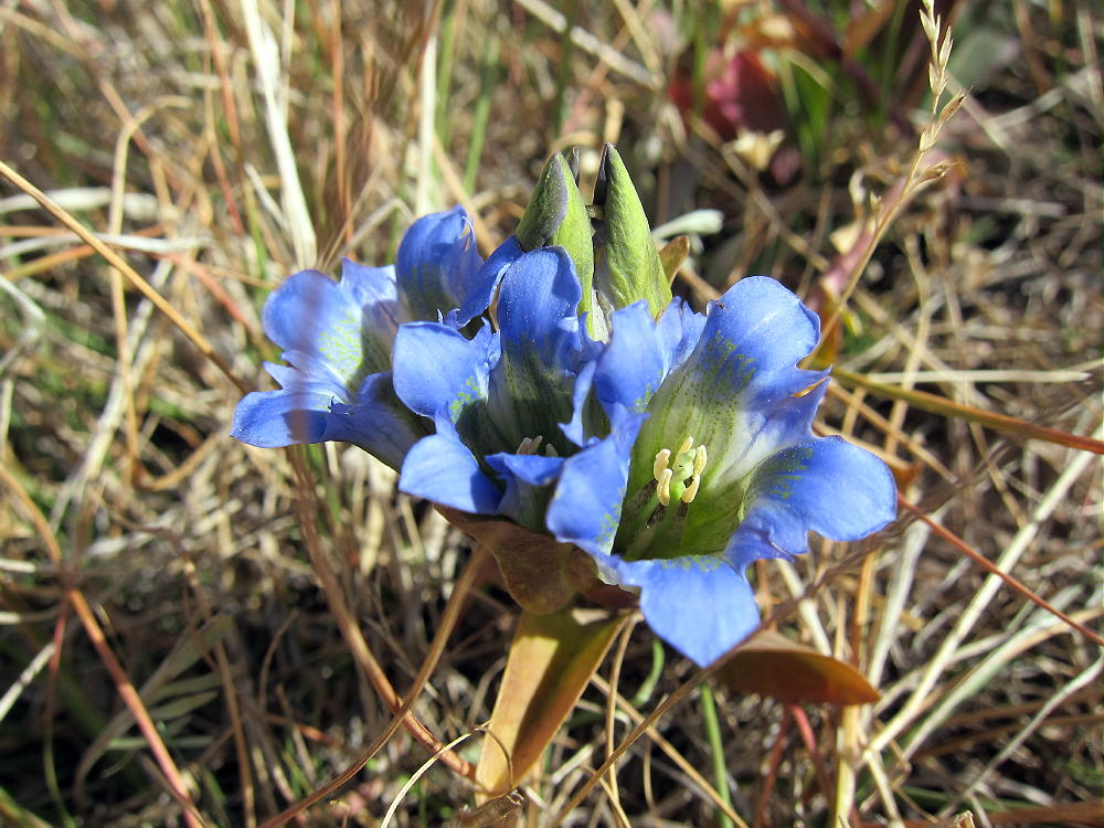
Laramie Mountains HP – Blue Gentians
!! WARNING !! There are old mountaineers, and
bold mountaineers… there are no old-bold mountaineers.
Hiking and mountain climbing are potentially hazardous activities particularly in Colorado with its extreme elevations. I am not accepting responsibility for any death or injury resulting from activations based on my trip reports. Proper training, experience, and personal capability assessment is required – enjoy!
• Pike National Forest
• Access via forest roads
• No marked trail or trailhead
• Secret closed road leads most of the way
• Some off-trail hiking near the top
• Seldom visited
• Fine SOTA peak
• ~ 2.2 miles round trip
• ~ 800 vertical feet
9889 Summit
Driving Directions:
• Drive to Lake George via Highway 24
• Continue north 0.8 mile, and turn left, west on CR 90
• Follow CR90 almost 4 miles, and turn left, southwest, on CR 92
• Climb up CR 92 into the Puma Hills for about 2 miles
• At a pass or saddle at 9040 feet, the second high point on this road, turn left, southeast, onto FR 246
• FR 246 is a good, humpy 2WD road requiring more clearance than some cars allow
• Drive FR 246 southeast for about one mile, past several dispersed campsites, to a large campsite located near a saddle in the road, on the north side of the road, with an obvious conical hill about 200 feet high on the north side. This is the only campsite in the immediate area with a big hill right behind it.
• The Google Map coordinates are 38.945715, -105.459343
• Park at or near this campsite. This is the “trailhead”. I camped there, and it was great!
The Hike:
• From the campsite above, walk west along FR-246 for about 100 feet.
• On the south side of FR-246, find a closed road with a pile of big rocks blocking access. You can see this junction on the Google satellite image.
• The old road is closed to motor vehicles but not to hikers. This route is not shown on most maps, including Pike NF and Google maps.
• This route is shown clearly on the Google satellite image, which is where I found it. At high magnification the entire trail is visible running through the forest.
• Hike southeast up the closed road as far as it goes. It’s not maintained, and there’s significant deadfall and erosion.
9889 Closed Forest Road
• This convenient secret trail climbs steeply and efficiently toward Peak 9889. It ends at about 9500 feet, about 1/3 mile from the summit.
• Continue south on a game trail leading up the slope from the end of the road – stay on the north side of the draw.
• After about ¼ mile, come to a saddle at about 9700 feet.
• The saddle is between Peak 9889 to the southeast, and its twin sister to the northwest, at almost the same elevation,.
• Make certain to ascend the peak southeast of the saddle!
• Hike up less than 0.2 mile, through easy open woods, to the rocky summit.
9889 Summit Cairn
Details:
The Pike National Forest Map is useful for planning a hike to 9889; it shows roads CR 90, CR 92, and FR-246.
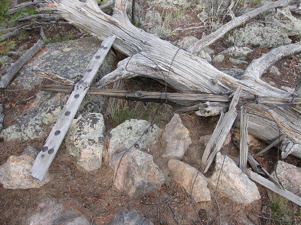
The top of prominent Peak 9889 is a small rock formation with trees on it. The remains of a triangulation station lie near the peak – boards, wires, etc. There’s a cairn, maybe with a register-jar inside it, on the top. There’s little evidence of visitors. Most of the summit is forested, and views are limited.
9889 Survey Station Remains
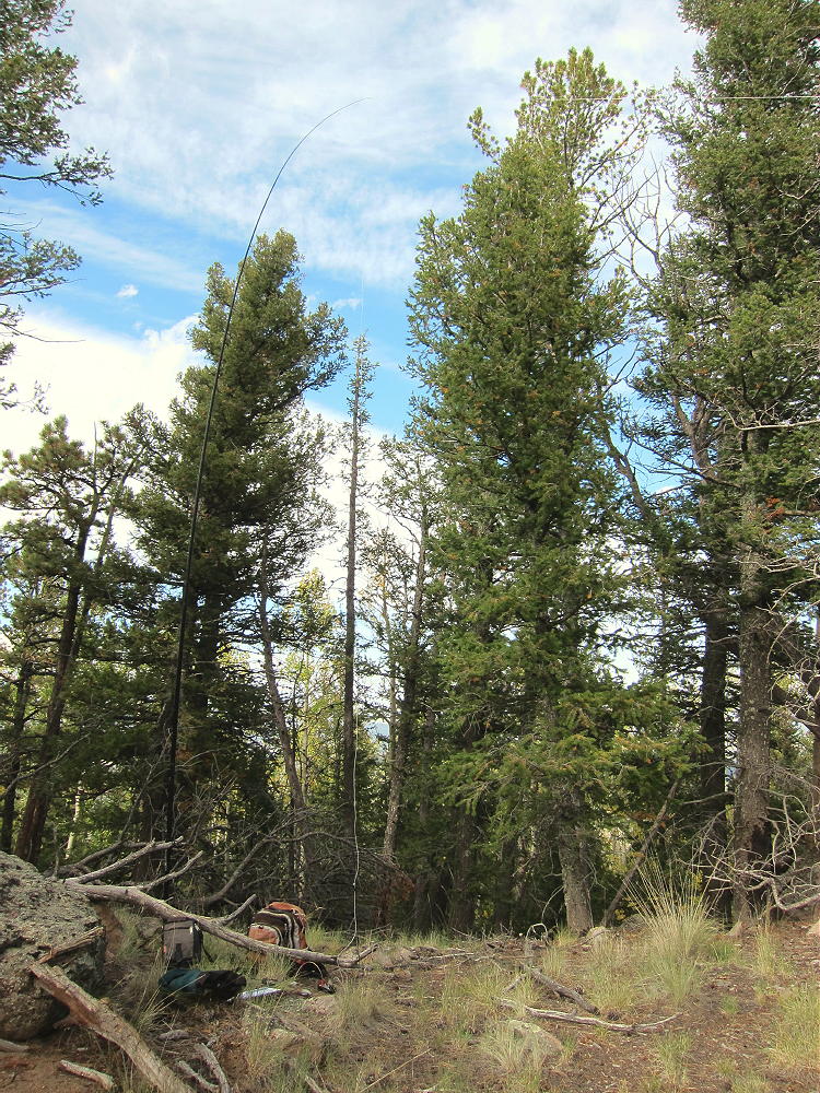
The large activation zone extends along the ridge-top, with sheltered spots, trees for a pole, etc. I set up immediately north of the peak; I ran my wire from a pole up to a tree at the summit rocks.
9889 SOTA Activation
The land falls away on the east side of the summit – it’s possible to see down into Eleven Mile Canyon.
There’s no development on the mountain, and the RF noise level is very low. This is a fine HF site! There are no close summits to block skip signals. This site has some VHF/UHF coverage of South Park, including around Hartsel, near Elevenmile Reservoir, near Lake George, Divide, and the country northwest of Pikes Peak.
It might be possible to activate Peak 9889 in the same day as another local summit. Possibilities include:
This area is popular with hunters – there were bow hunters in the area when I was there. Wear bright color – be cautious.
73
George
KX0R
!! WARNING !! There are old mountaineers, and
bold mountaineers… there are no old-bold mountaineers.
Hiking and mountain climbing are potentially hazardous activities particularly in Colorado with its extreme elevations. I am not accepting responsibility for any death or injury resulting from activations based on my trip reports. Proper training, experience, and personal capability assessment is required – enjoy!
• San Isabel National Forest
• Moderate hike at high altitude
• An old road goes part way
• Off-trail route to the summit
• Superb scenery – nice alpine area
• Excellent HF site
• 4.6 miles round-trip
• ~1000 vertical feet
South Peak, KX0R SOTA Activation, at Summit
Driving access:
• Drive up 285 and cross Kenosha Pass
• Stay on Highway 285 past Fairplay
• Drive south on 285 from Fairplay about 5 miles, and turn west on CR 5
• Follow bumpy dirt 2WD road CR 5 for about 7 miles to CR 22
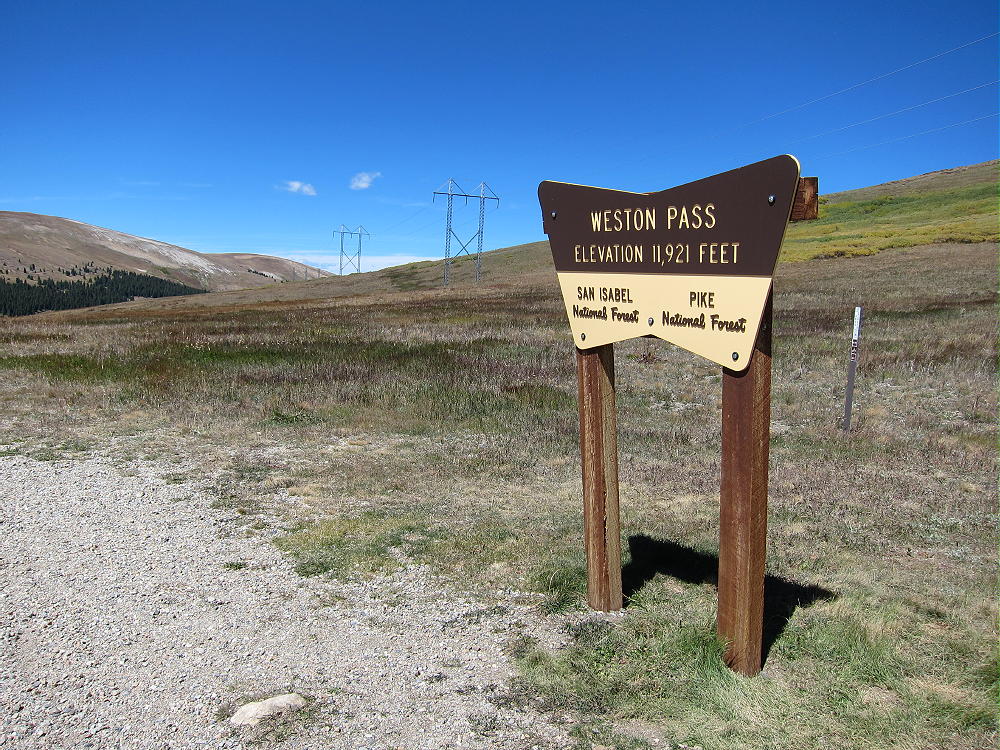
• Drive rough dirt 2WD CR 22 about 9 miles up to Weston Pass at 11921 feet
• The last lumpy mile of this road is too rough for some cars
• Park at the Pass
Weston Pass – East Side
Weston Pass Summit and Trailhead
The Hike:
• Hike south from the Pass on an old road
• The road climbs right along the ridge
• Follow the road up and across a broad hill at about 12,480 feet
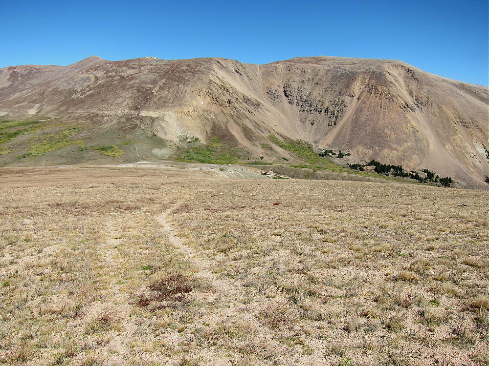
South Peak Route, View North to Weston Pass
• Stay on the 2-rut track as it descends southwest
• Leave the track south of the willows, and head west toward the south ridge of South Peak
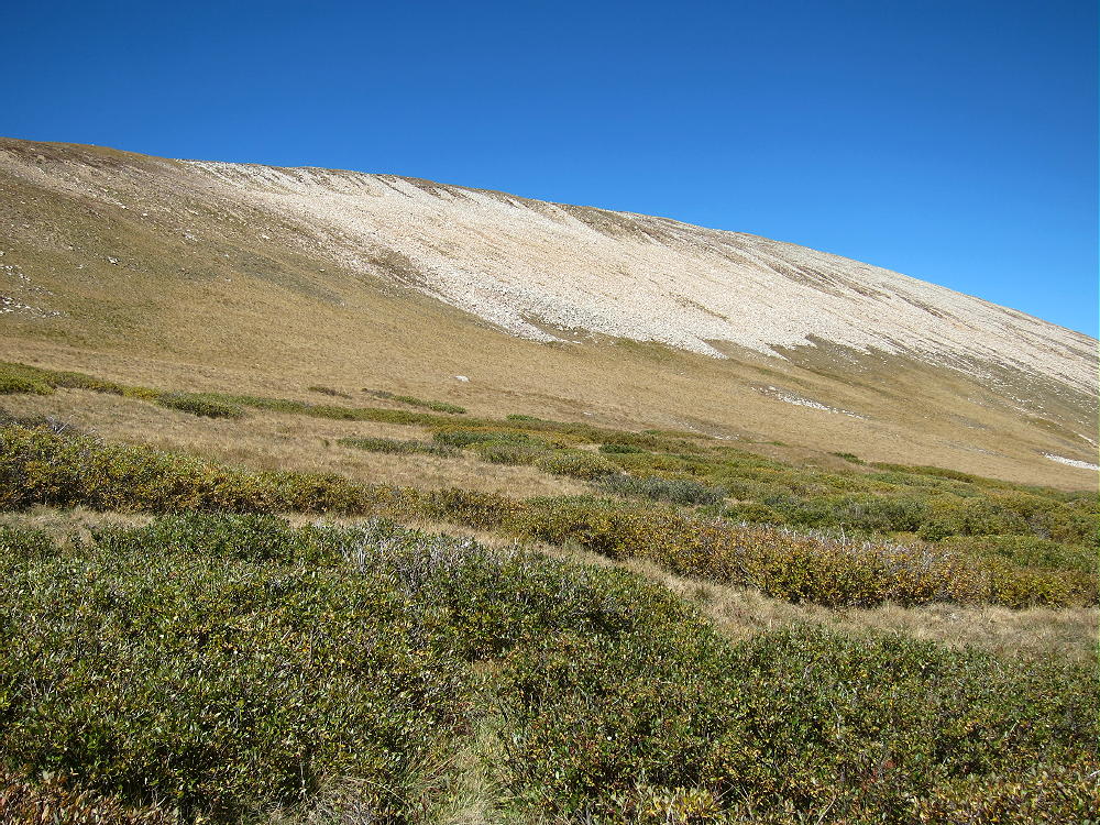
South Peak – South Ridge and Quartzite Talus
• Climb up the gentle ridge, well south of the talus slopes
• Hike north across tundra and rocks about ½ mile to the summit
Additional Details:
The hike to South Peak isn’t very steep or difficult, but it requires some time at high altitude. The entire route is across open tundra, and there’s no shelter available; this ascent is best done on a good dry day.
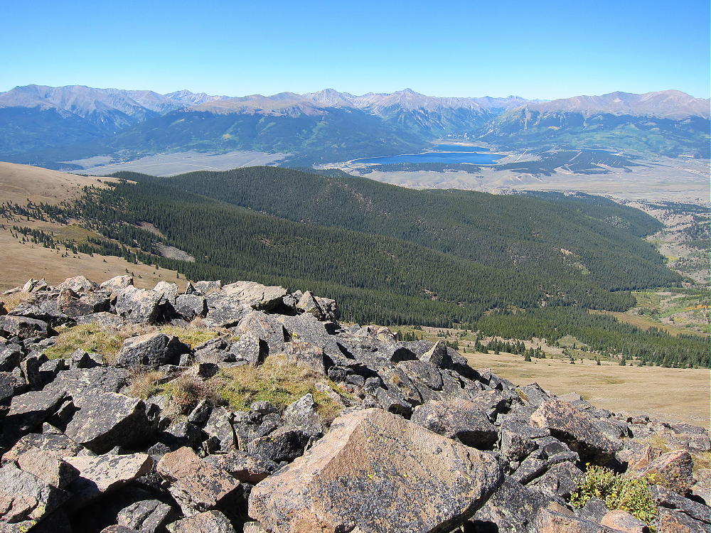
South Peak View West to Twin Lakes and Sawatch Range
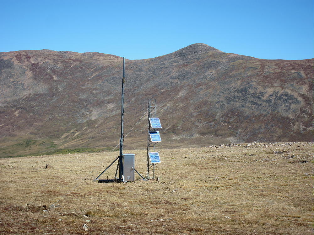
A small solar-powered communications facility stands about 200 feet to the northeast.
South Peak Comm Facility
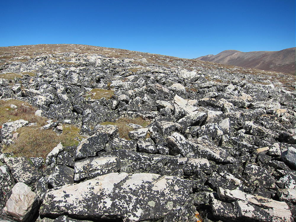
Most of the rocky summit ridge is composed of tilted Sawatch quartzite, metamorphic sedimentary rock deposited about 500 million years ago. Both white blocks and reddish layers are visible along the ridge.
South Peak, White Sawatch Quartzite Southeast of Summit
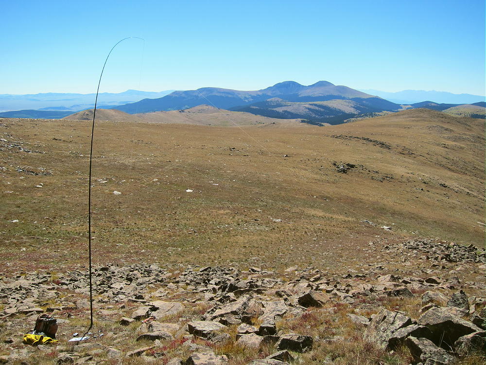
South Peak is an excellent radio site. It’s the highest point in the area, so it’s a fine HF summit. No trees grow so high, so bring a pole and be prepared to guy it. The HF noise level is very low, and there seems to be no interference from the communications facility nearby. VHF/UHF coverage is probably good across South Park and parts of the local Arkansas River Valley.
South Peak SOTA Activation – View South to Buffalo Peaks
73
George
KX0R
!! WARNING !! There are old mountaineers, and
bold mountaineers… there are no old-bold mountaineers.
Hiking and mountain climbing are potentially hazardous activities particularly in Colorado with its extreme elevations. I am not accepting responsibility for any death or injury resulting from activations based on my trip reports. Proper training, experience, and personal capability assessment is required – enjoy!
• Rocky Mountain National Park
• Wilderness Trip
• Seldom climbed
• No marked trail
• Navigation and route-finding required
• Game trails all the way to the top
• ~ 8.5 miles round trip
• ~ 2750 vertical feet
• SOTA Classic !
Mount Patterson from Green Mountain
Figuring out how to climb MountPatterson, navigating up to the summit, and doing the first activation on a fine day in September was a lot of fun!
The ascent required a little more than 2-1/2 hours, and the descent took slightly less time. I was on top almost three wonderful hours! This is not a family hike.
Driving Directions:
• Drive to the west side of Rocky Mountain Park.
• The only road is US 34
• Either motor across Trail Ridge Road, or
• Drive via Grand Lake
• Continue to the Green Mountain Trailhead, about 4 miles north of Grand Lake
• This popular trailhead is on the east side of the highway.
The Hike:
• Follow the easy trail about 1.5 miles to Big Meadows
• The vertical gain in this sections is 600 feet
• Turn right, south, on the Tonahutu Creek Trail
• Continue south about 0.4 mile
• Find a marked path leading east toward the Meadows
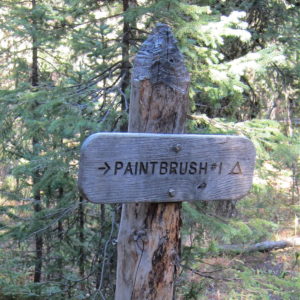
Mount Patterson Route – Trail Sign to Campsite
• This trail leads to a backcountry campsite called Paintbrush #1
• This path includes a very useful bridge across the large creek
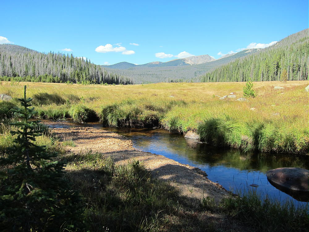
Mount Patterson Trip – Big Meadows
• Follow the path east across the meadow to the forest
• Choose a route up the big mountain
Key Details:
Several game trails lead up the slope, and a few contour through the forest. The easiest way to climb Patterson is to ascend to the broad saddle at 10,880 feet, northwest of the summit. A ridge route leads all the way up, starting southeast of the Paintbrush campsite path. Study a topographic map carefully before going up there – the navigation is really easy with preparation!
The immediate goal is to find a game trail leading southeast to the ridge that climbs towards the saddle northwest of Patterson – many game trails are available on the slope. The ridge is the northern edge of the basin west of Patterson’s summit. This ridge route is the key to the climb.
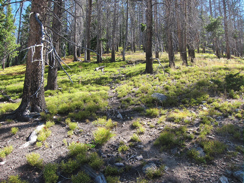
Mount Patterson – West Side Game Trail Route
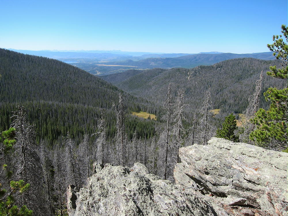
There’s an established game trail up this ridge, all the way to the high saddle. This major game trail provides an efficient, pleasant ascent through open pine woods. It climbs east, up along the ridge, or slightly north (left) of it, all the way up the slope, for 1500 vertical feet to the saddle! This route even includes a couple of nice overlooks, with views down the Tonahutu Creek valley toward Grand Lake; Green Mountain W0C/PR-110 stands across the valley at 10313 feet. This route is as efficient as many constructed trails!
Mount Patterson – West Side Route Overlook, View Southwest, Green Mountain at Right
In the image above, the ridge leading to Mount Nisa is on the left. This provides another route to the summit of Mount Patterson. Nisa Ridge is south of the ridge route described here.
Plan on spending well over an hour to climb from the valley to the saddle at 10,880 feet – I did it in 1:08 on a good day. From the saddle, hike southeast up through open sub-alpine forest on the gentle northwest ridge of Patterson; it’s about ½ mile and 500 vertical feet from the saddle to the top. There are good game trails there also.
Mount Patterson North Slopes
The mountain top is a huge meadow of many acres – I was stunned when I first saw it! Wide views extend out in all directions. Chiefs Head and Mount Alice stand high behind the Divide to the east; lakes shimmer down below to the south; several high peaks along the Divide are visible to the north. The Never Summer Range extends like a wall across the western horizon.
Mount Patterson – Chiefs Head and Mount Alice
The actual peak is at a cairn on the west side of the meadow.
Mount Patterson Summit Cairn – View South
Mount Patterson Summit Cairn – View East
The vast activation zone offers choices. Large trees north of the summit offer shelter from wind; smaller trees in the meadow are ideal for supporting a pole; the southern part of the meadow is wide open, with fine views and flowers in summer.
Mount Patterson Summit – Radio Activation
Mount Patterson is miles from any development, so the RF noise level is very low. The summit is high, but higher mountains stand a few miles away – HF propagation is still be OK in most directions. The only VHF/UHF coverage is down the valley to the south. I was on the air for over 1-1/2 hours on the 7-10-14-18 MHz bands, CW only. The log has 34 QSO’s, including 6 amazing summit-to-summit (S2S) contacts!
Mount Patterson offers a wilderness experience combined with a scenic SOTA activation. There are many deer, elk, and moose, and other wild animals in that area. There’s no hunting, but camping is allowed at specific backcountry sites, with a formal permit. It’s possible to camp at one of the sites below Mount Patterson, and then hike up the mountain from camp. Information on camping is available online.
If you climb Patterson, start your drive very early; tell someone exactly where you plan to go and when you expect to return. Take the Ten Essentials. GPS is not required for this hike, if you have a detailed topographic map, a compass, and a good sense of direction. However, a GPS unit with internal topo map data is good for resolving questions about the route, keeping a record of the track, and helping to backtrack accurately.
Mount Patterson Northwest Saddle
Mount Patterson could be combined with other SOTA peaks in the area for a dual activation, or for a group of activations while visiting the National Park:
Mount Patterson is a SOTA Classic in every way. It offers a combination of the best characteristics of Colorado SOTA peaks:
• A challenging, fun hike
• Superb high-mountain scenery
• Wilderness experience
• Nearly ideal quiet radio site
• Huge activation zone
• Accessible in summer and fall
• Summit is rarely visited by people
• No access to vehicles
If you go up there, tread lightly on the meadow, and please leave things just as they are…
73
George
KX0R
!! WARNING !! There are old mountaineers, and
bold mountaineers… there are no old-bold mountaineers.
Hiking and mountain climbing are potentially hazardous activities particularly in Colorado with its extreme elevations. I am not accepting responsibility for any death or injury resulting from activations based on my trip reports. Proper training, experience, and personal capability assessment is required – enjoy!
• Arapaho National Forest
• Accessible summer and fall
• Relatively easy alpine activation
• Beautiful scenery
• Few visitors
• Fine HF site
• Rocky off-trail hike up the mountain
• Access via a rough 2WD road
• 1.7 miles round-trip
• 730 vertical feet, including the return trip
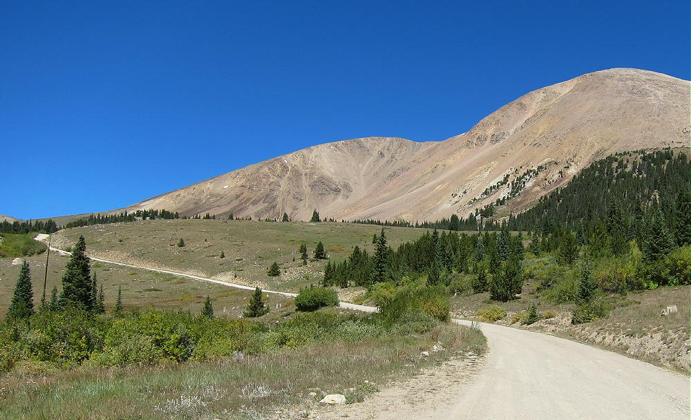
Mount Epworth from Rollins Pass Road
Driving Directions:
Drive west from Denver on I-70
Turn northwest on Highway 40
Cross Berthoud Pass
Continue down Highway 40 to Winter Park
About 0.6 mile past Winter Park Resort, turn right, north, on Corona Pass Road 80.
This road also is called the Moffat Road.
Follow this rough, unpaved, 2WD road about 13 miles
The Moffat Road is passable in cars with enough clearance
Park along the road about 1 mile south of Rollins Pass
A small sign “Corona Lake Trail #118” marks the trail west of the road
This is the trailhead.
Mount Epworth – Corona Lake Trail Sign
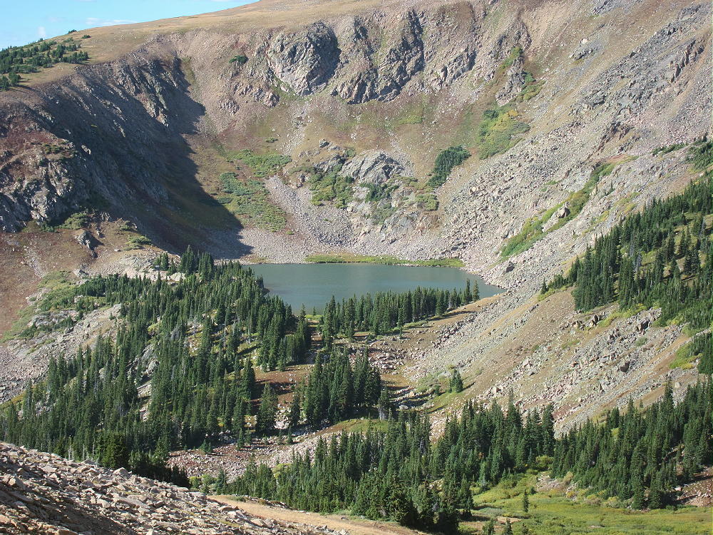
Trail 118 leads to beautiful Corona Lake, about a mile to the north. Mount Epworth stands west across the valley from the trailhead.
Mount Epworth – Corona Lake View
The Hike:
• Walk down the Corona Lake Trail about 1/5 mile.
• Look for an informal path heading down off the main trail, toward Pumphouse Lake below
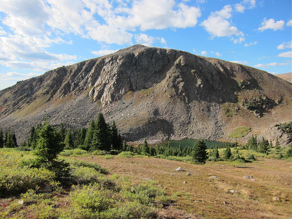
Mount Epworth and Pumphouse Lake
• Hike down to the north end of Pumphouse Lake
• Cross the small outlet creek
• Continue southwest toward Mount Epworth, and pick a route up the steep, rocky northeast slope.
• There are some paths in the scree, but there’s no real trail up Epworth.
• Further around the mountain to the west, an alternate route is available
• It’s less rocky, but slightly longer.
Mount Epworth – Pumphouse Lake and Northeast Slopes
After about 250 vertical feet of loose rocks above the lake, the route gets much easier. The last part of the climb is over large, stable boulders. The summit is a large mass of rocks, and the pile can be climbed easily on its southeast side. There are numerous large cairns on the summit – the cairn builders certainly had a lot of energy!
Mount Epworth Summit Cairn
Mount Epworth Cairns
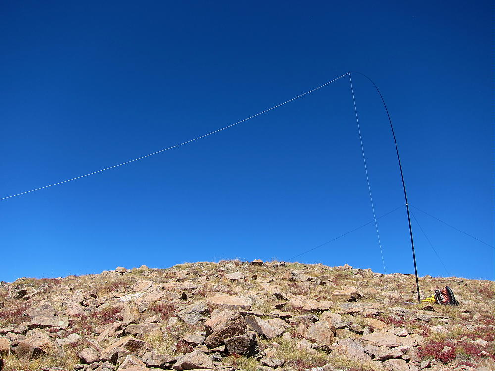
The activation zone is large and rocky. In good weather it’s pleasant, and the summit has nice views. There are no trees; a pole can be guyed or braced with rocks. It’s possible to operate right on the peak as I did; if it’s windy, set up behind rocks for shelter.
Mount Epworth SOTA Activation
No development is near the mountain, and the RF noise level is very low. It’s a good HF site – there are no higher peaks nearby to block the signals. Low-angle radiation is possible in most directions. Epworth is probably a poor VHF/UHF site, because it’s partly blocked to the east by the Continental Divide. There’s some coverage of Winter Park, Fraser, and the area around Granby.
I had an enjoyable late-afternoon activation. My logs shows 19 contacts on 30, 20, and 17M. I was able to work EA2IF, Guru, in Spain, across the Continental Divide and the Atlantic Ocean, with my tiny 5 watt ATS-3B radio.
Mount Epworth can be combined with nearby Skyscraper Peak W0C/FR-122 for a dual activation. Skyscraper takes more time than Epworth, so it’s probably better to activate Skyscraper first. I did this, and it worked well. The mileage total for the dual activation is about 6.9 miles, with a total vertical gain of about 1425 feet. My total time for both trips, including the short drive between the trailheads, was about 7 hours. The drive from Boulder took about 3 hours each way, so it was a 13-hour day in perfect conditions.
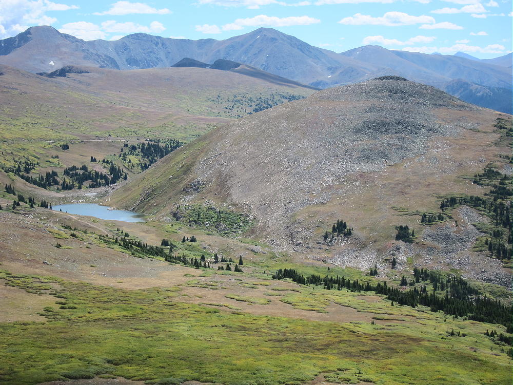
Mount Epworth Summit View North
Climbing and activating Mount Epworth should be reserved for a day with stable, dry weather. The Continental Divide often has dangerous lightning storms, high winds, hail, snow any month, fog & clouds, etc.
73
George
KX0R
!! WARNING !! There are old mountaineers, and
bold mountaineers… there are no old-bold mountaineers.
Hiking and mountain climbing are potentially hazardous activities particularly in Colorado with its extreme elevations. I am not accepting responsibility for any death or injury resulting from activations based on my trip reports. Proper training, experience, and personal capability assessment is required – enjoy!
 !! WARNING !! There are old mountaineers, and
bold mountaineers… there are no old-bold mountaineers.
Hiking and mountain climbing are potentially hazardous activities particularly in Colorado with its extreme elevations. I am not accepting responsibility for any death or injury resulting from activations based on my trip reports. Proper training, experience, and personal capability assessment is required – enjoy!
!! WARNING !! There are old mountaineers, and
bold mountaineers… there are no old-bold mountaineers.
Hiking and mountain climbing are potentially hazardous activities particularly in Colorado with its extreme elevations. I am not accepting responsibility for any death or injury resulting from activations based on my trip reports. Proper training, experience, and personal capability assessment is required – enjoy!