SOTA outings by KØMOS and contributors

Tag: mountain topping

  • W0C/SP-065 (Puma Peak) – 3527 m / 11570 ft

    W0C/SP-065
    Puma Peak
    3527 m / 11570 ft
    Sep 10, 2016

    By KX0R

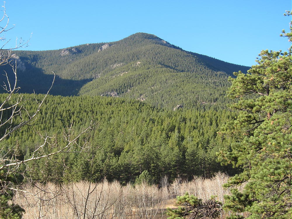
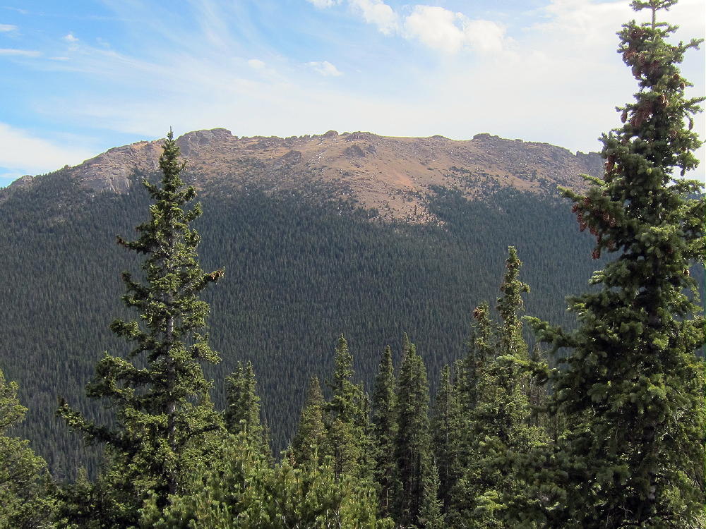
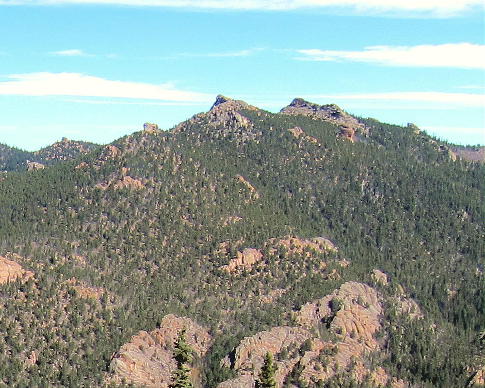
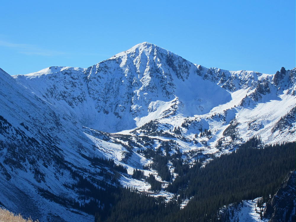
    Puma Peak is an interesting sub-alpine SOTA peak in the northern Puma Hills, on the east side of South Park.  It’s the highest summit in the Puma Hills.

    Key Points:

    Pike National Forest
    • Jeep road most of the way
    • Relatively short off-trail climb to peak
    • Prominent summit
    • Fine HF site
    • ~ 7.5 miles round-trip, hiking from 9770 feet
    • ~ 1800 vertical feet, hiking from 9770 feet
    Driving Directions:

    • Drive down 285, across Kenosha Pass, to Jefferson
    • Turn south on Highway 77 and go about 16 miles to Tarryall Reservoir
    • Just south of Tarryall Reservoir, turn right, west, on CR 23
    • CR 23 is a bumpy 2WD dirt road
    • Drive about 1.5 miles to a split in the road
    • Turn left, south, on marked Packer Gulch Road FR-144
    • FR-144 is a good 2WD dirt road up the valley if dry
    • Drive south on FR-144 about 4 miles
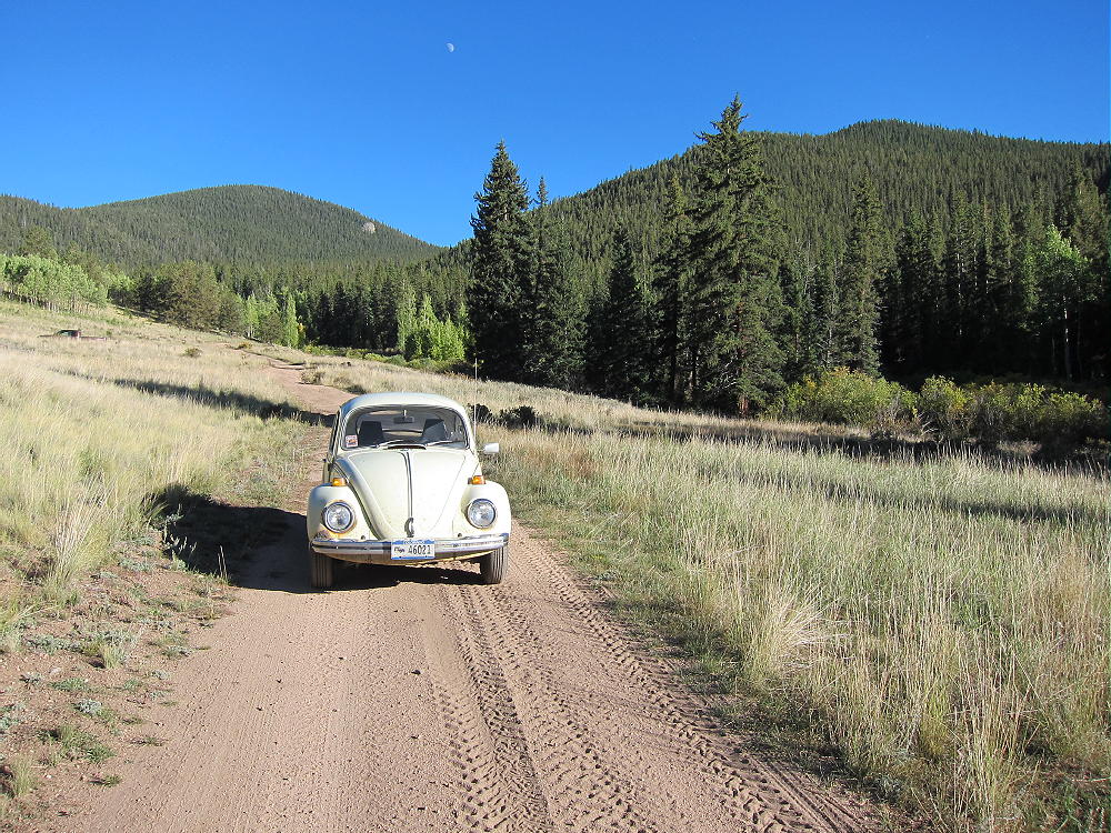

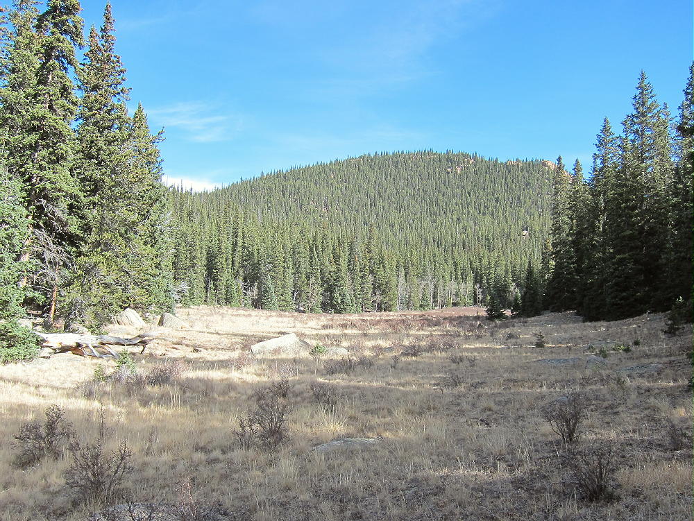
    • The road ascends the drainage and then makes a big turn to the right as it enters thick forest
    • Very soon there’s a junction with FR-237
    • This is a good place to park, unless you have a high-clearance vehicle

    The Climb:

    • It’s possible to drive up this road to a saddle at 11,040 feet, provided conditions are good
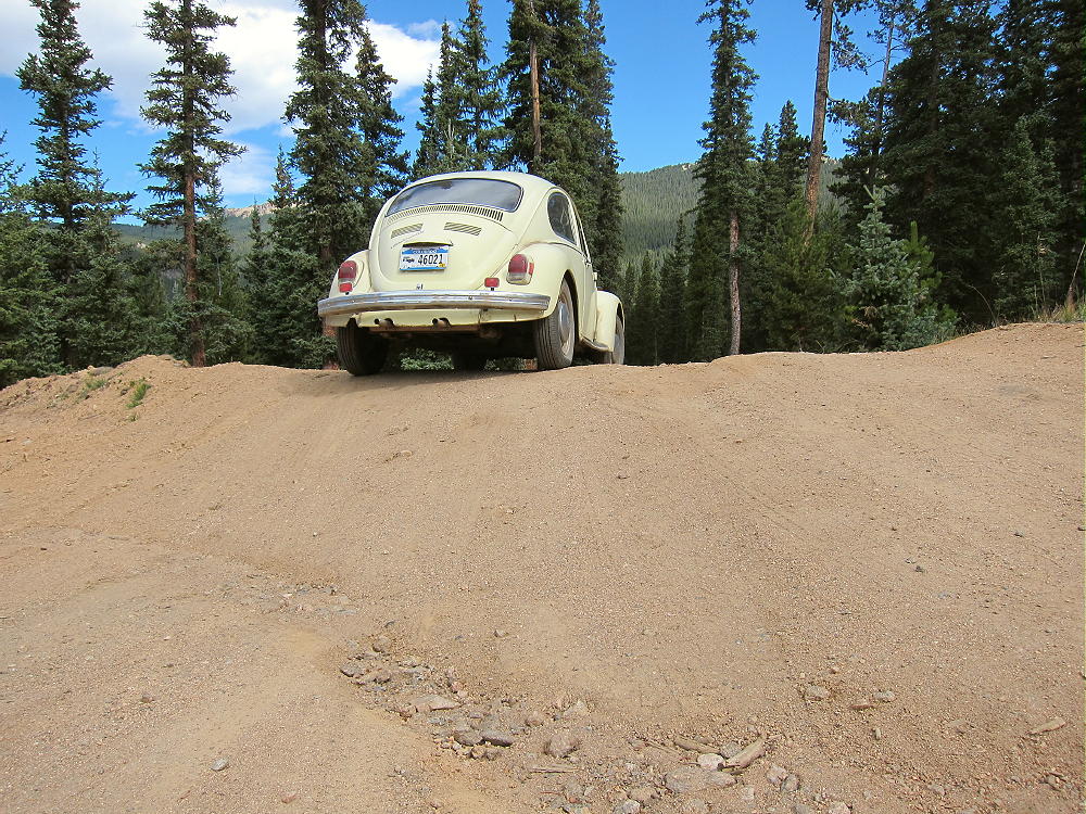
    • The road doesn’t require 4WD or high clearance for the first couple of miles, but it’s very narrow, and it gets considerable use from ATV’s, Jeeps, and trail-bikes
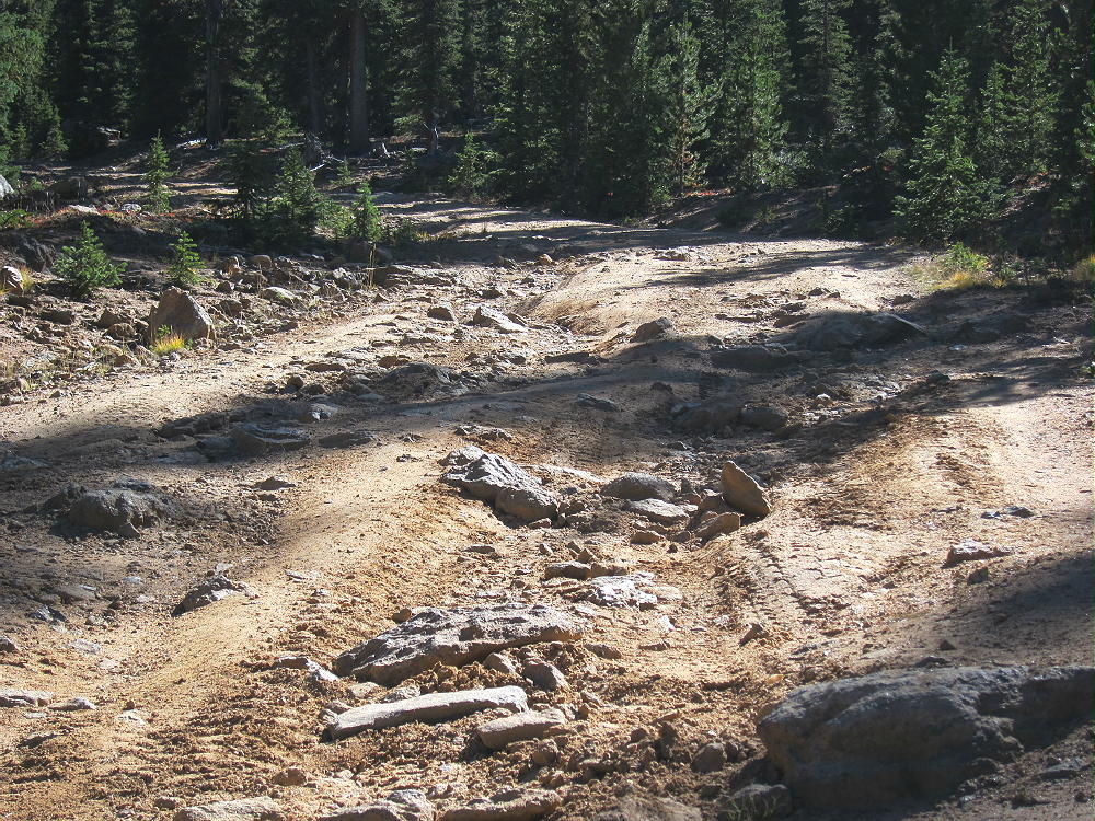
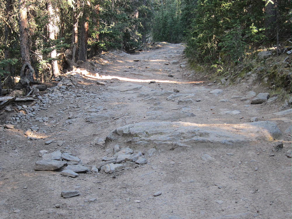
    • The road gets rougher above about 10,000 feet, with large rocks in a few spots
    • There was a tree blocking the road about a mile below the end when I was there – some 4WD drivers were able to go up and around it – steep, serious detour!
    • The road isn’t steep, so it’s an easy hike – but it’s so gentle that it’s inefficient
    • This would be an ideal MTB or motorbike climb – but listen for motor vehicles
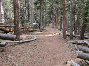
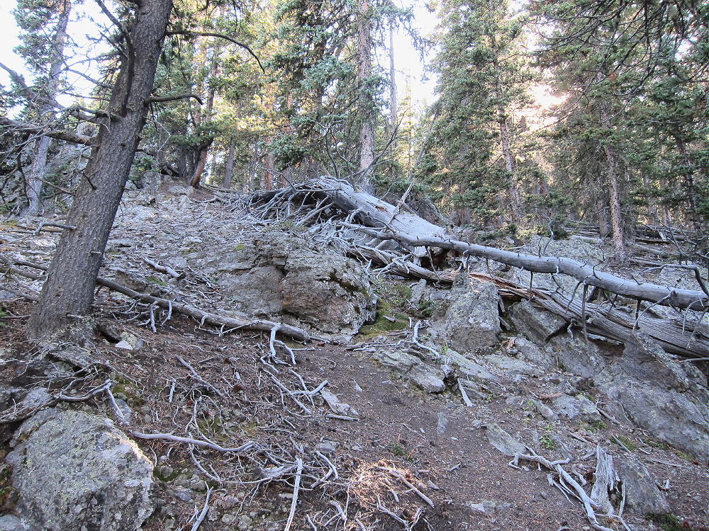
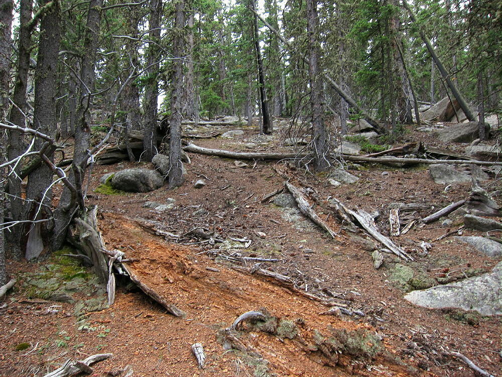
    • From the saddle at 11,040 feet, hike southwest, up through the forest, on a small, steep path
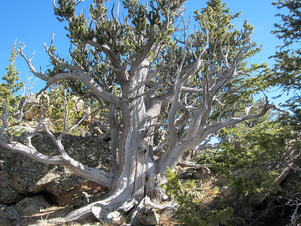
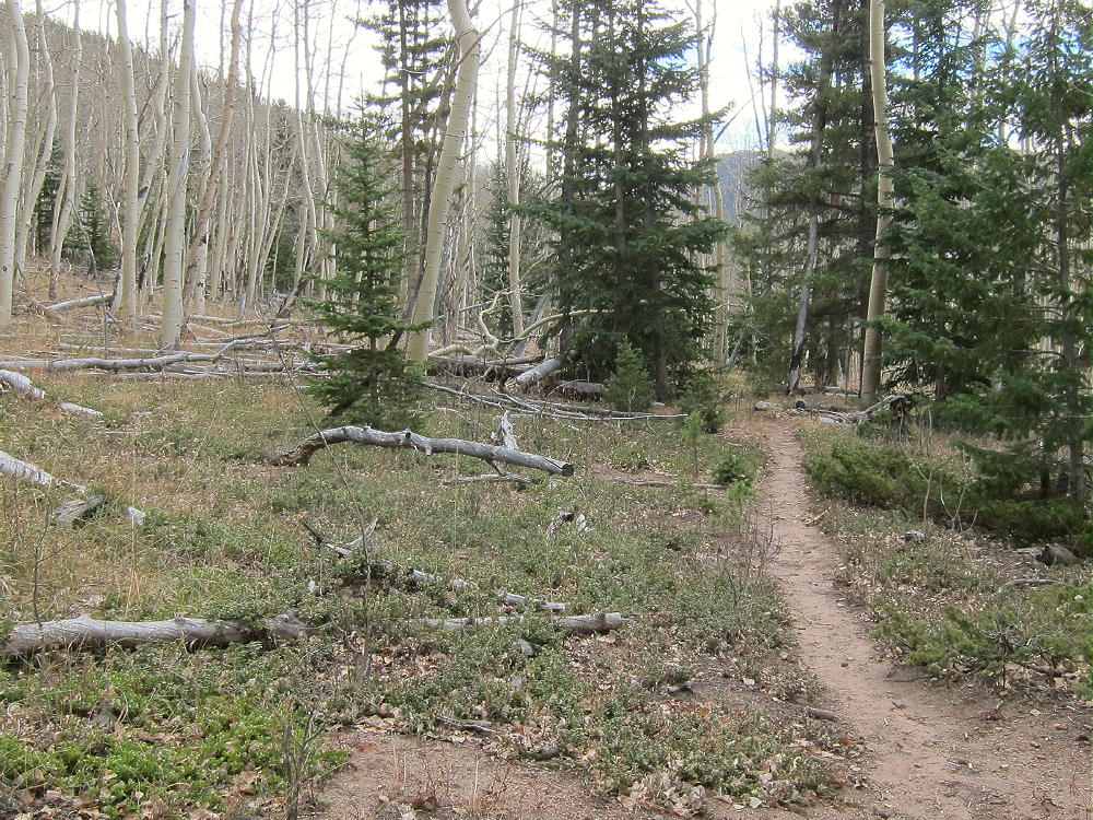
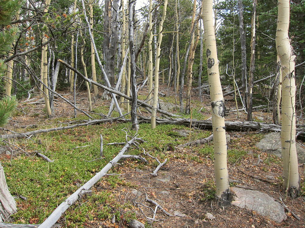
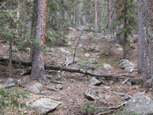
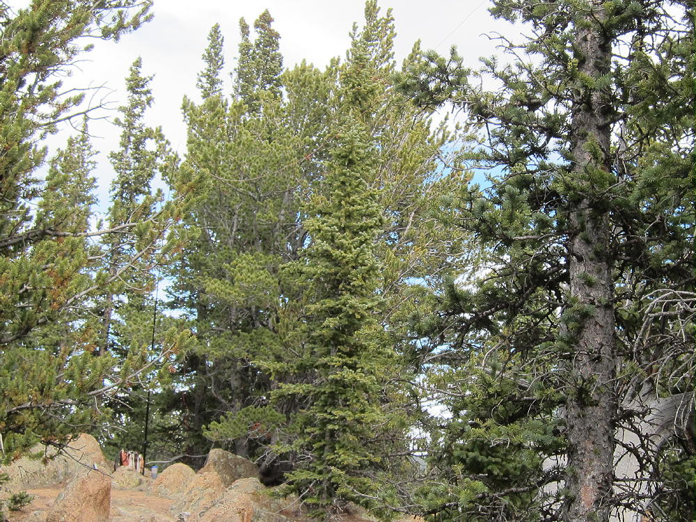
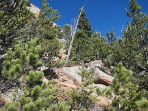
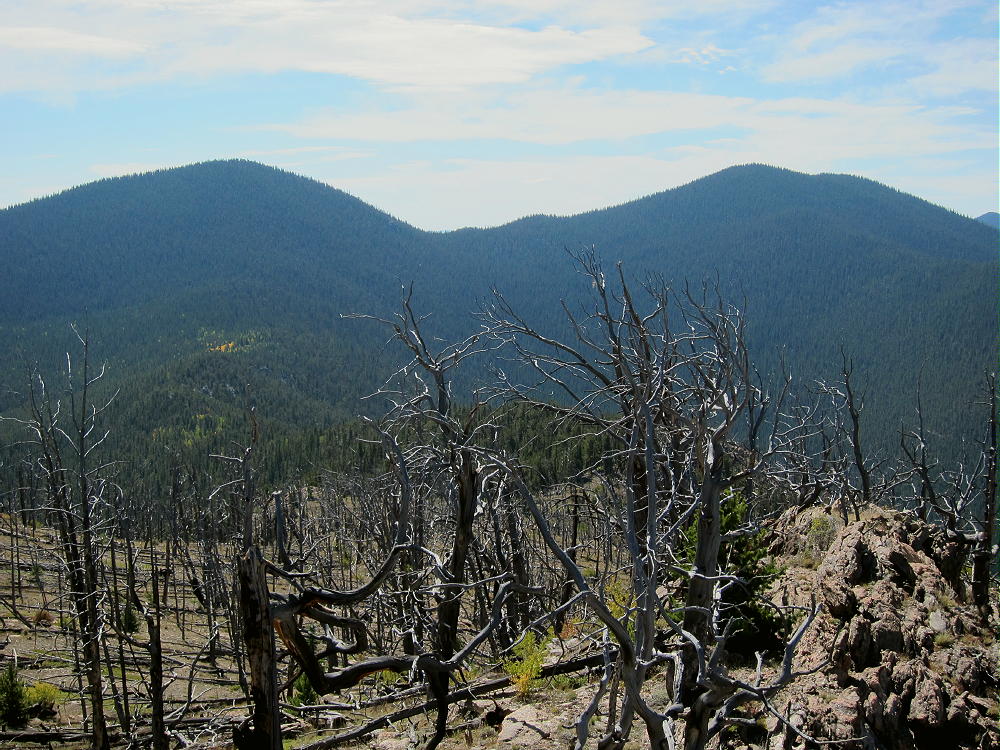
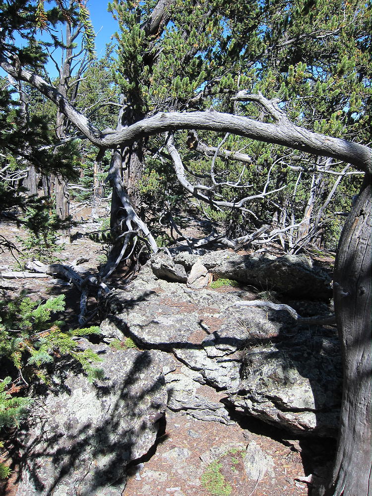
    • The path is less distinct toward the top – just follow the ridge up through the bristlecone pines and a little deadfall

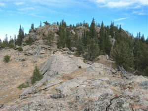
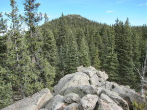
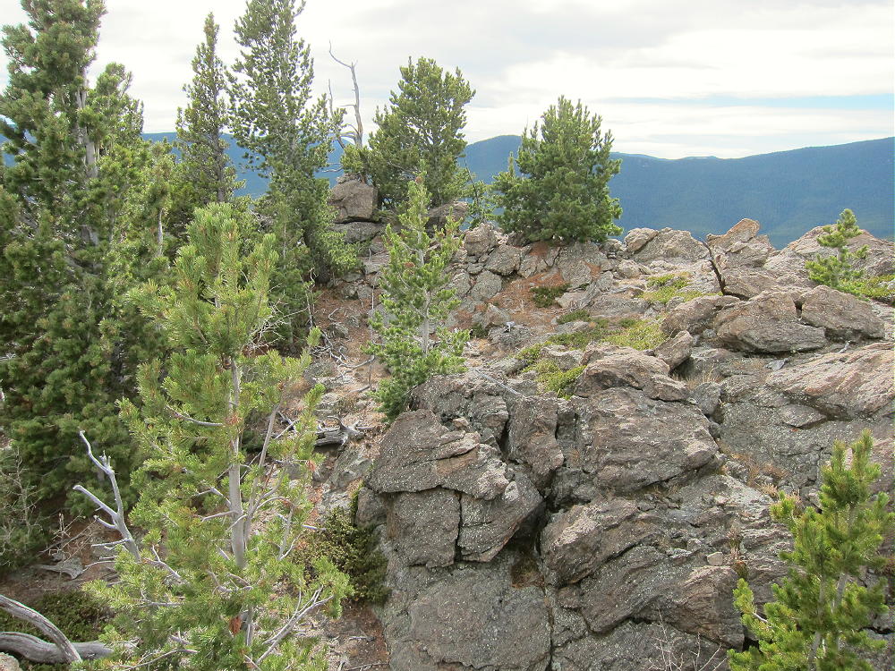
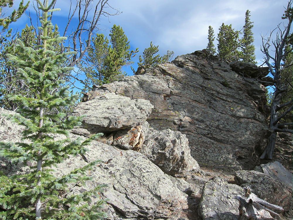
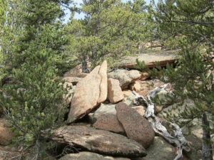
    • After about 0.3 mile and over 500 vertical feet, the rocky summit appears
    Additional Details:

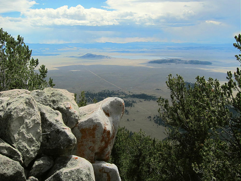
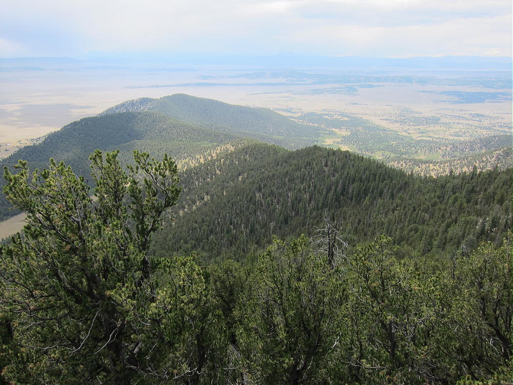
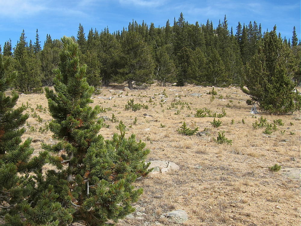
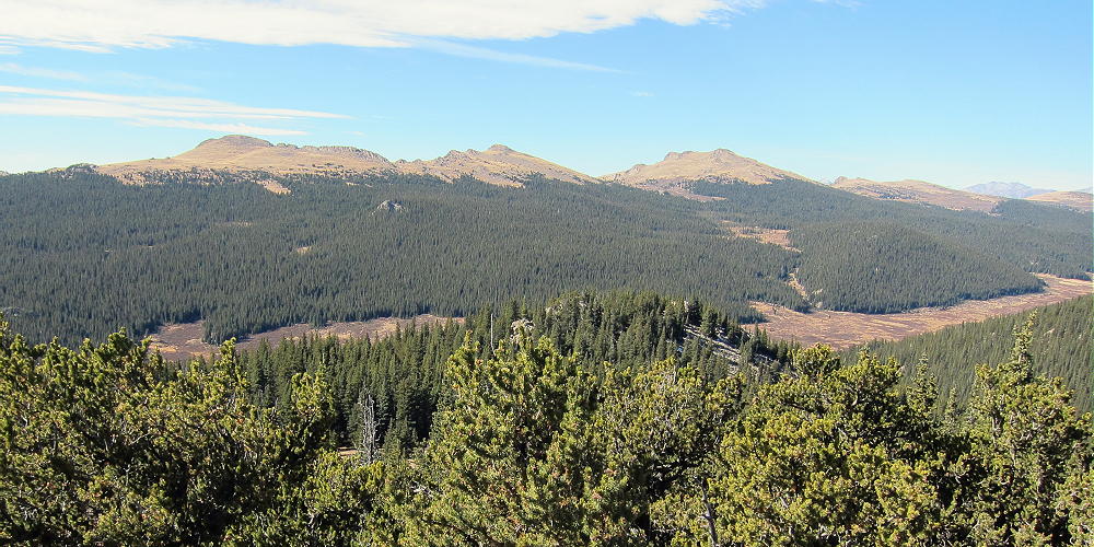
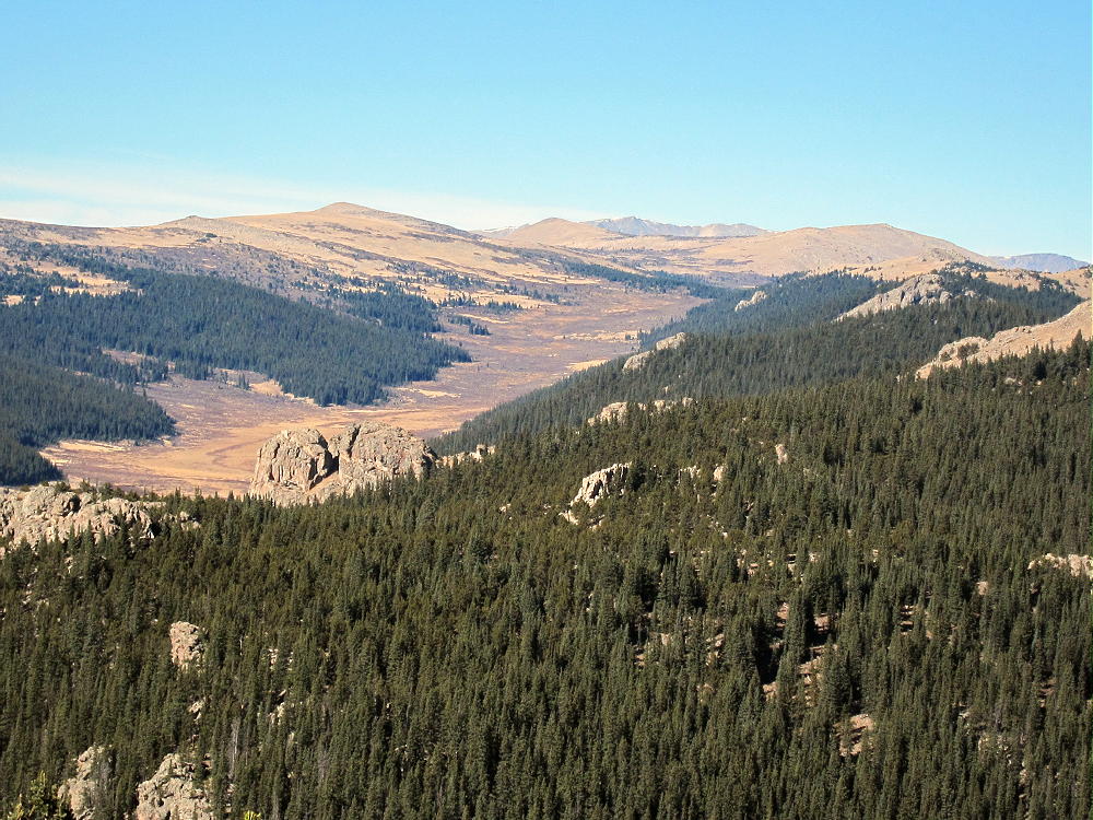
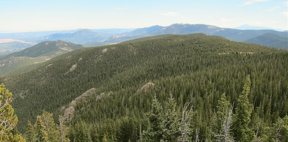
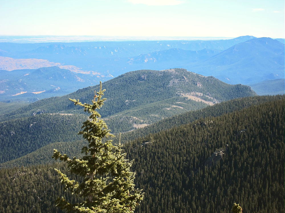
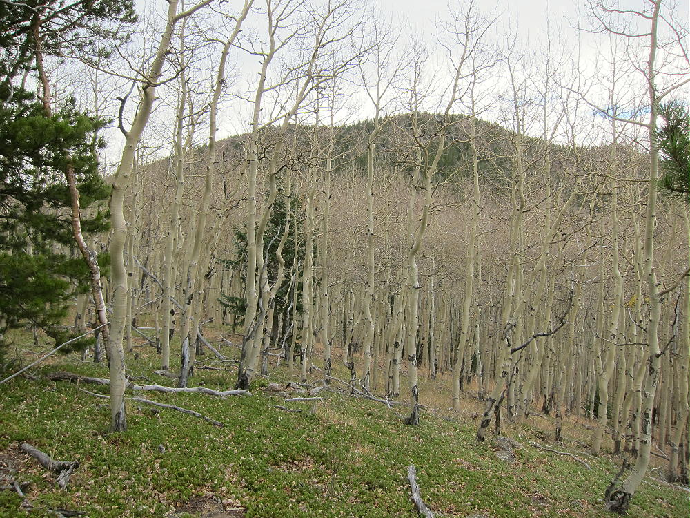
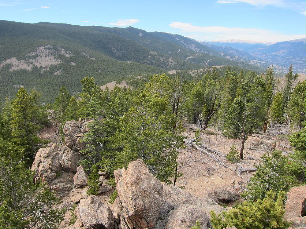
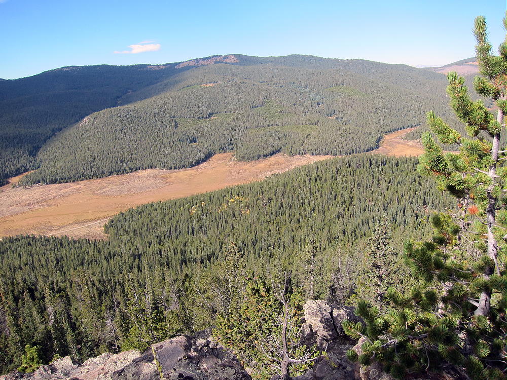
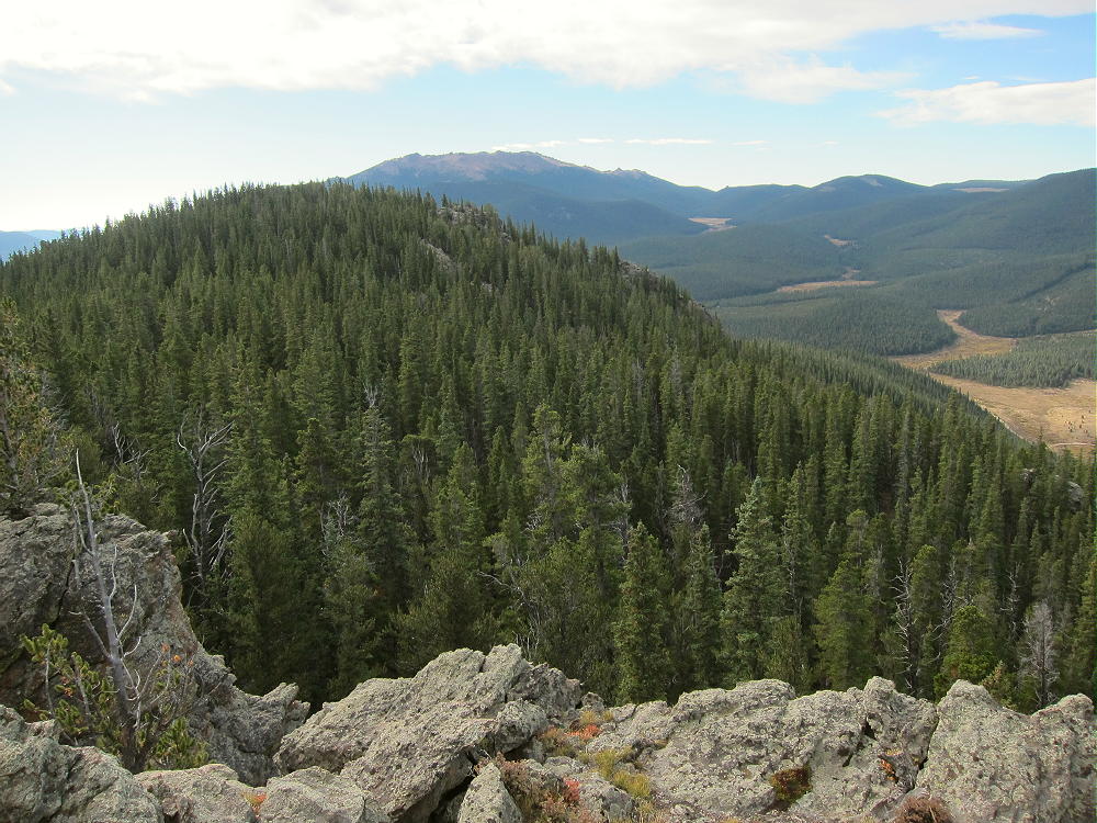
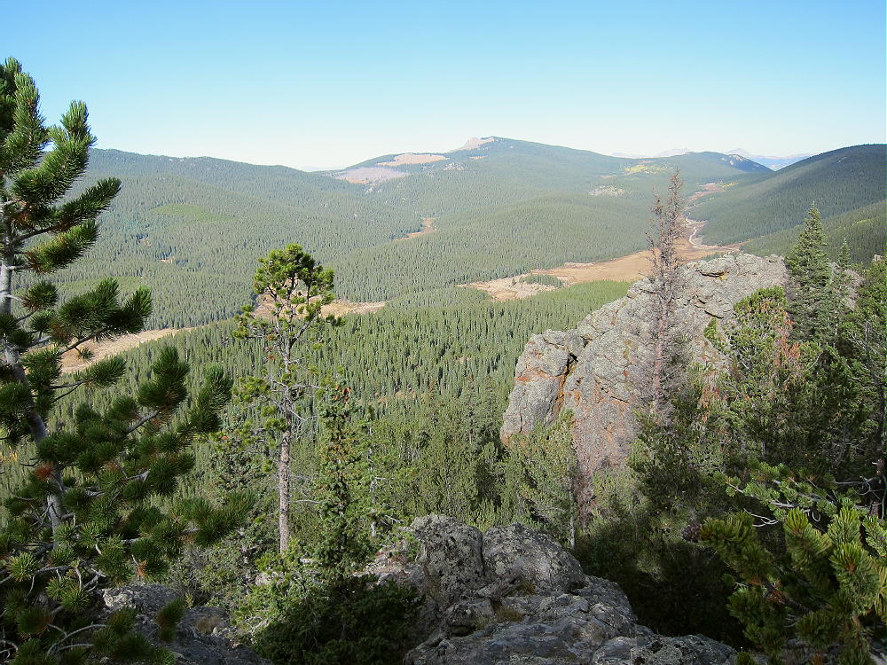
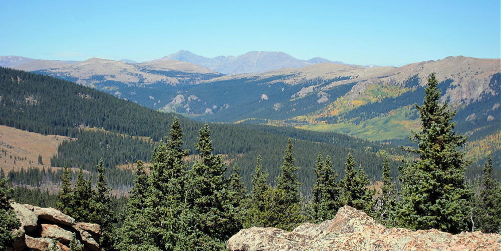
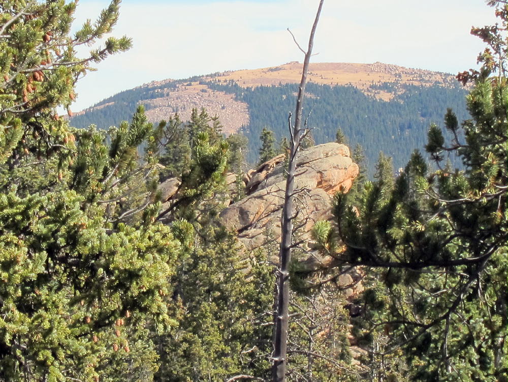
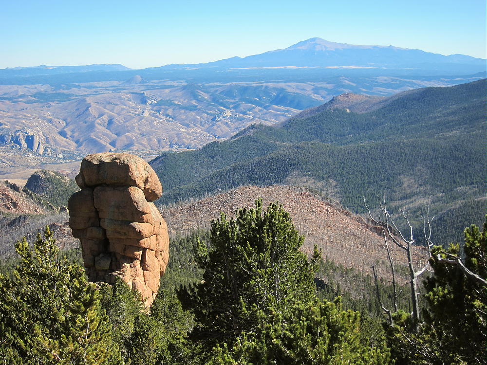
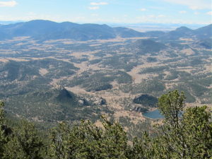
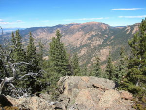
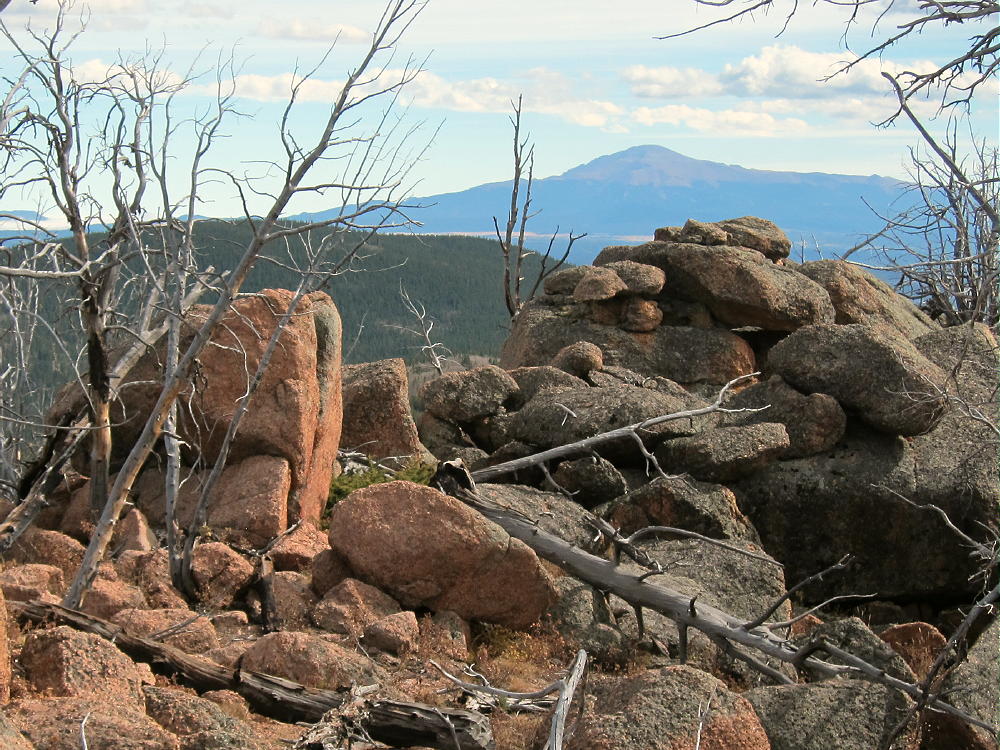
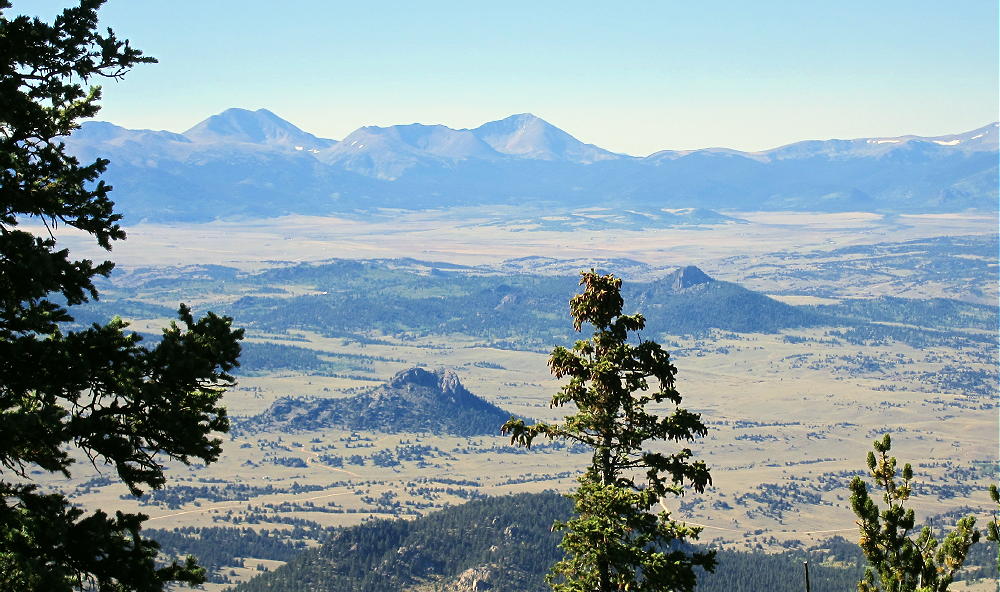
    Puma Peak is heavily forested with bristlecone pine trees. Views across South Park are spectacular but limited by the trees. You can look down at Eagle Rock W0C/SP-113 and Observatory Rock W0C/SP-102 far below, and much of South Park and other mountains far to the west.
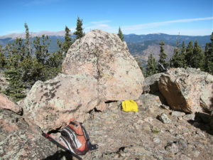
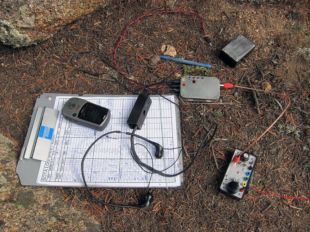
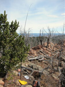
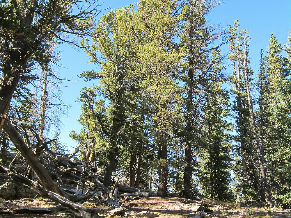
    I set up my radio gear just east of the summit, because of rocks and deadfall on the peak. There’s plenty of room to set up among the trees.
    Puma Peak is a fine SOTA peak. It’s prominent in all directions, and no higher mountains block HF skip signals significantly. The site has very low noise – there’s no development near the mountain. The peak is probably an OK VHF/UHF site, with coverage limited to the northern part of South Park.
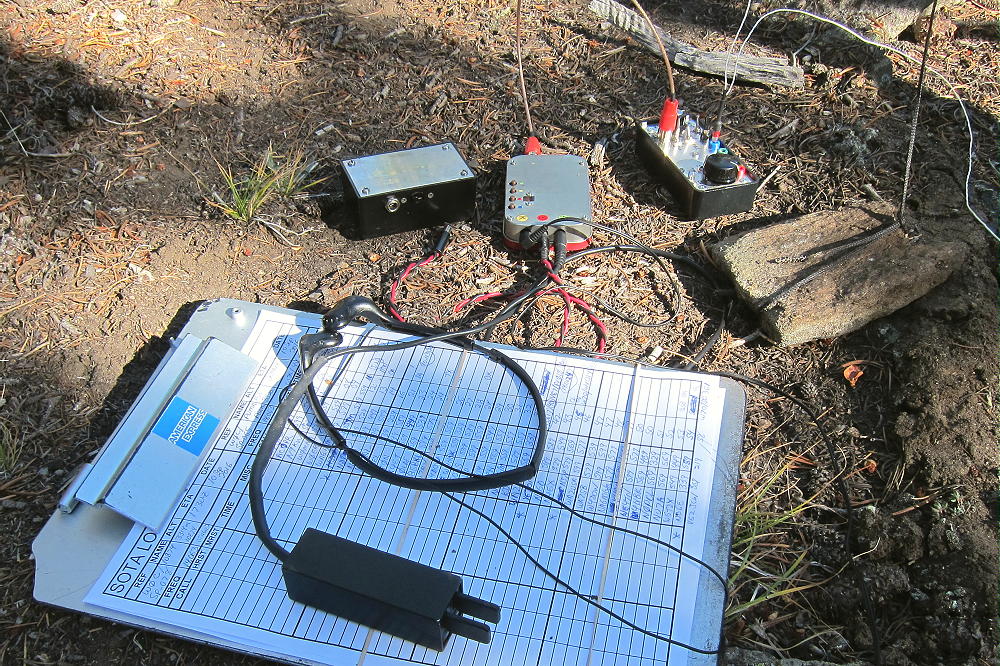
    This peak can be combined with nearby Burntop W0C/SP-074 for a dual activation.

    Thanks to WG0AT Steve for his First Activation of Puma Peak!

    Which Summit is the Peak?

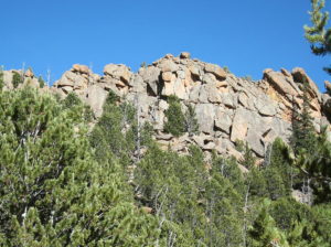
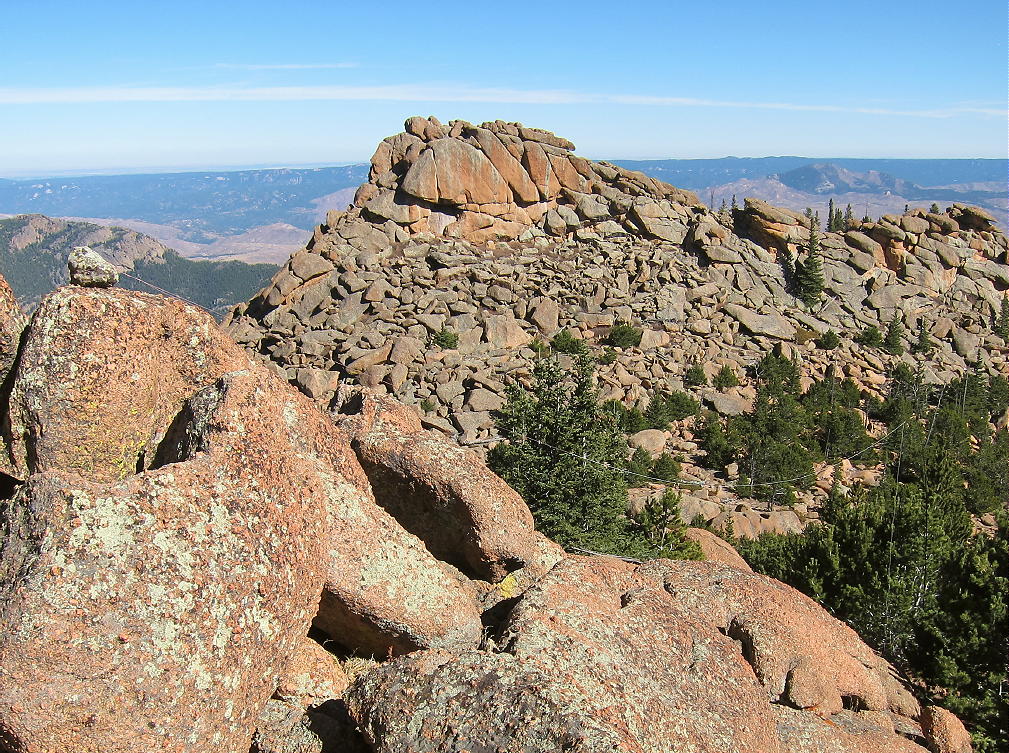
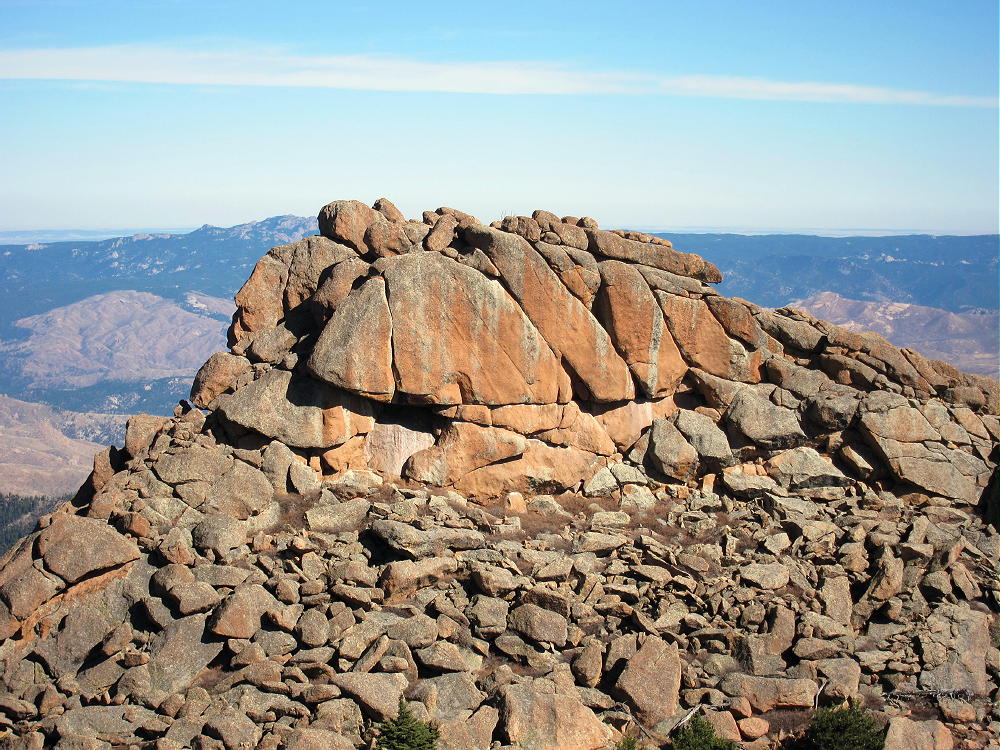
    Puma Peak has a sister summit about ¼ mile along the ridge to the southwest. This peak’s elevation is similar to that of the designated SOTA peak. The SOTA location of Puma Peak on Google Maps agrees with the location of the red balloon summit shown by Lists of John – both show the northeastern peak as the summit. This location is 39.1572, -105.5815. The SOTA elevation is given as 3527m, or 11570 ft.

    The problem is that the USGS topography on the 7.5 minute quadrangle (Farnum Peak quad) clearly shows the southwestern peak at 11570 feet and the northeastern peak at 11550 feet; the printed numerical elevations for both peaks agree with the contour line data. I looked at the digital version of Farnum Peak quad on the USGS site, and the mapped topography indicates that the southwest summit is the peak. It isn’t clear why this discrepancy exists.

    When I climbed the mountain, I first hiked out to the southwestern summit. I ran my GPS track out and back, and I recorded waypoints on both summits and the saddle. My GPS has a barometric altimeter which tends to stabilize the GPS altitude measurements. The various altitude measurements along the track strongly suggest – but don’t confirm – that the northeast peak is the real SOTA peak.

    Without more accurate instruments, there’s no way to verify which summit is higher. In their book “Colorado’s Lost Creek Wilderness”, Gerry and Jennifer Roach say that they made careful checks with a hand level and determined that the northeast summit is the real peak.  That’s pretty solid.

    Unfortunately the saddle between the peaks appears to be too low for both peaks to share the Activation Zone – my GPS data shows the saddle almost 100 feet below the northeast peak. The USGS map has it even lower.

    After I ran my GPS track out to the southwestern sub-peak and back, I did my activation on the northeastern summit.
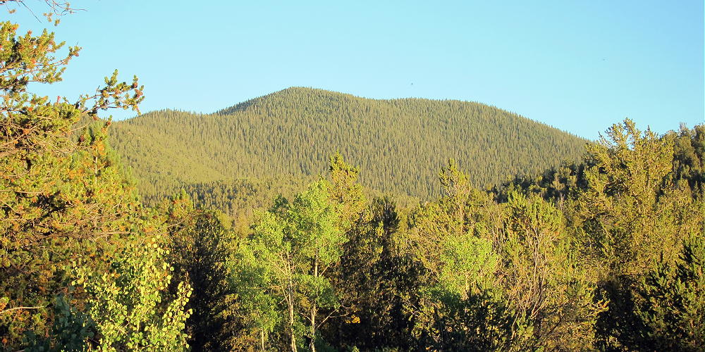
    Be aware of hunters in the fall – wear bright orange.

    73

    George
    KX0R

    ATTENTION !! WARNING !! There are old mountaineers, and bold mountaineers… there are no old-bold mountaineers. Hiking and mountain climbing are potentially hazardous activities particularly in Colorado with its extreme elevations. I am not accepting responsibility for any death or injury resulting from activations based on my trip reports. Proper training, experience, and personal capability assessment is required – enjoy!

  • W0C/SP-071 (Schoolmarm Mountain) – 3454 m / 11332 ft

    W0C/SP-071
    Schoolmarm Mountain
    3454 m / 11332 ft
    Aug 22, 2016

    By KX0R

    Schoolmarm Mountain is a fun sub-alpine SOTA peak in the west-central Puma Hills, on the east side of South Park.

    Key Points:

    Pike National Forest
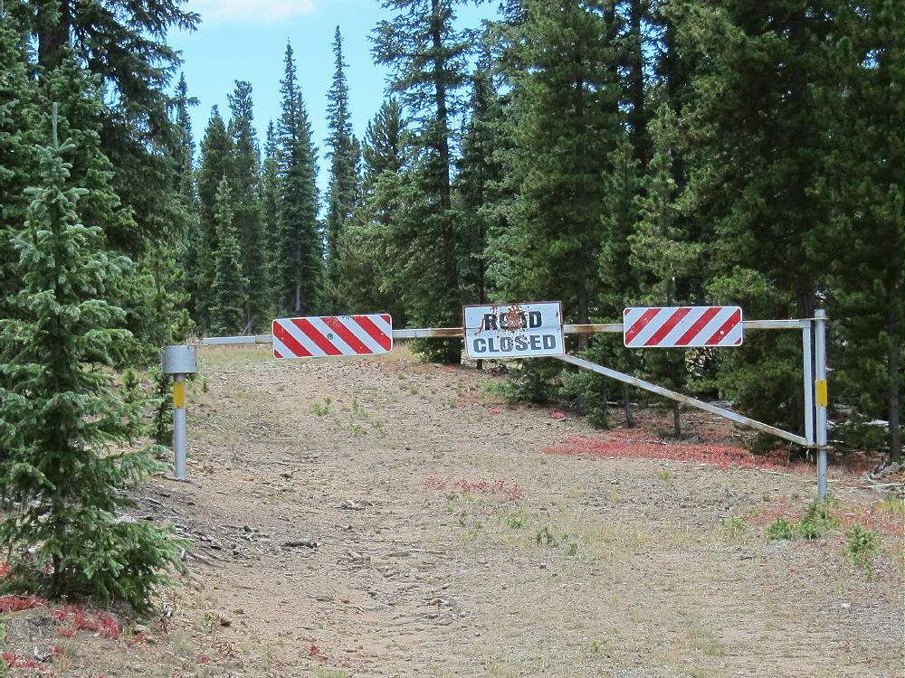
    • Closed logging road ascends most of the way
    • Relatively short off-trail climb to peak
    • Prominent summit
    • Fine HF site
    • 2.6 miles round-trip
    • 1200 vertical feet

    Driving Directions:

    • Drive west on Highway 285, across Kenosha Pass, to Jefferson
    • Turn south on Highway 77, and go about 16 miles to Tarryall Reservoir
    • Just past Tarryall Reservoir, turn right, west, on CR 23
    • CR 23 is mostly a pretty good 2WD dirt road, with some bumpy sections and washboarding
    • A detailed map is essential for the rest of the drive. Google maps doesn’t include some of the relevant forest roads and other details.
    • The Pike National Forest map is very useful
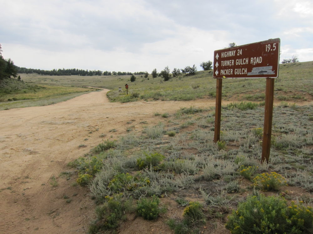
    • Follow CR 23 generally west several miles, around several bends, and past a few splits, until it eventually leads south around the western base of the Puma Hills. This road is called Turner Gulch Road, CR 23, even though it’s slightly west of the actual Turner Gulch Road FR-145.  Don’t drive into Packer Gulch:

    • Drive south on CR 23 for about 6 miles from the fork where FR-146 goes northwest toward Eagle Rock, etc.
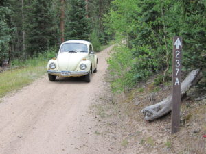
    • Turn left, east, on marked FR-237
    FR-237 is an OK, lumpy, narrow 2WD road if it’s dry – at least medium clearance is needed for this part of the trip; there are humps.
    • Drive up FR-237 about one mile from CR 23 to a fork.
    • At the fork go right, southeast, on FR-237A, into the upper part of Turner Gulch


    • Ascend about ½ mile up FR-237A to the gated end of the road
    • Park here – this is the “trailhead”, but it’s not so marked.

    *** CR 23 can also be accessed easily from Highway 24 ***

    The Climb:

    • Hike up the closed road behind the gate
    • Not far up from the gate at the trailhead there’s a fork, and a road leads left, up a hill, and off to the east
    • Stay on the road leading south up Turner Gulch
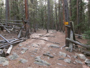
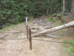
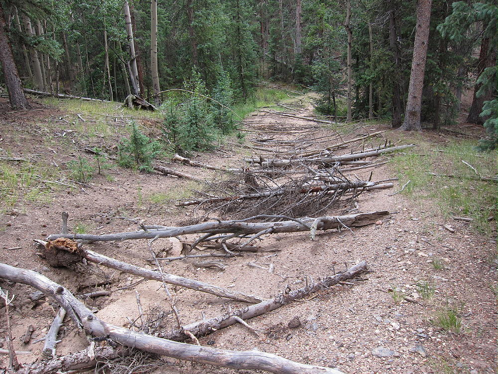
    • Unfortunately for hikers, the USFS wants this road permanently closed to vehicles, so they have spread hundreds of old tree trunks across the road for at least ¼ mile up.

    • In some parts it’s easier to hike along the road than on it.
    • Eventually the route is mostly clear of obstacles, and hiking becomes more efficient


    • The road ends at a large cleared area.
    • Continue climbing up the hill on game trails, through relatively open sub-alpine forest, to a saddle at 11,000 feet.
    • Hike steeply southwest from the saddle for about ¼ mile and 330 vertical feet to the summit of Schoolmarm Mountain.  Most of the route is along an old trail up the partly-forested ridge.

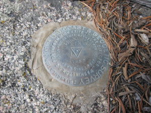
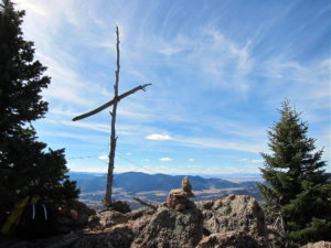
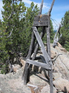
    • An intact triangulation station from 1953 stands on the rocky peak
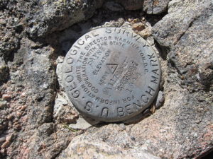
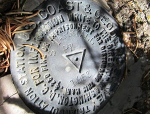
    • The related USCGS Benchmark is beneath the wooden station

    Additional Details:

    Thanks to Steve WG0AT for his earlier SOTA activations of Schoolmarm!

    A little rain shower started when I reached the top, and I found some shelter under a tree. I set up my radio gear slightly southeast of the peak. There’s plenty of room to set up near the rocky summit. You could even set up right by the triangulation station – just be careful of the steel guy wires!

    The views from the actual summit are somewhat limited by the bristlecone pines, but what you can see is still awesome – South Park, the Collegiate Peaks, the Divide, etc. There’s a special rocky spot just south of the summit with excellent views.

    Schoolmarm is a fine SOTA peak. It’s prominent in all directions, and no higher mountains block HF skip signals significantly. The site has very low noise – there’s no development on the mountain. The peak is probably an OK VHF/UHF site, with coverage limited to areas of South Park.

    This mountain can be combined with several nearby SOTA peaks for a dual activation:

    Puma Peak W0C/SP-065
    Burntop W0C/SP-074
    Eagle Rock W0C/SP-113
    Observatory Rock W0C/SP-102
    Badger Mountain W0C/SP-072

    Be aware of hunters in the fall – wear bright orange.

    73

    George
    KX0R


    ATTENTION !! WARNING !! There are old mountaineers, and bold mountaineers… there are no old-bold mountaineers. Hiking and mountain climbing are potentially hazardous activities particularly in Colorado with its extreme elevations. I am not accepting responsibility for any death or injury resulting from activations based on my trip reports. Proper training, experience, and personal capability assessment is required – enjoy!
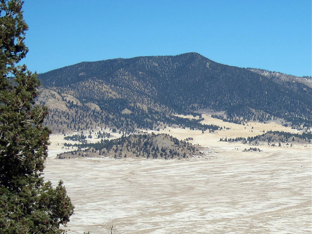
  • W0C/SP-061 (Payne Benchmark) – 3591 m / 11780 ft

    W0C/SP-061
    Payne Benchmark
    3591 m / 11780 ft
    First Activation
    Oct 27, 2016

    By KX0R

    Payne Benchmark is a fine SOTA peak in the wilderness near Bailey, Colorado.

    Key Points:

    Pike National Forest
    • Platte River Mountains
    Lost Creek Wilderness
    • Good marked trail much of the way
    • Off-trail final climb, about 0.6 mile to a pleasant summit
    • Nice scenery – wilderness
    • Summit is rarely visited
    • ~ 15.5 miles round-trip
    • ~ 3750 vertical feet
    “SOTA Classic”

    Driving Directions:

    • Drive west from Denver via Highway 285 to Bailey
    • Turn south on CR 64, at a bridge next to the lumber-yard
    • Where the road forks, continue left, mostly west on 2WD dirt road CR 64
    • After about 2 miles, look for Payne Gulch Road on the left (closed to public)
    • Drive past Payne Creek on CR 64 about 0.2 mile
    • Turn left, south, on a small forest road, and continue about 100 yards to the parking area
    • Park here – this is the Brookside-McCurdy Trailhead
    • There is no charge to park or enter
    • Google Maps shows the roads in this area OK

    The Hike and the Climb:

    • Google Maps only shows fragments of the trails here – the Trails Illustrated/National Geographic maps are much better.
    • The trail first leads roughly south – it’s not very efficient, because it was built to bypass private land.
    • At about one mile from the trailhead, the trail splits.
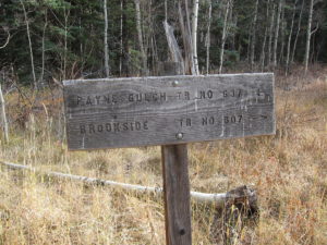
    • Head southwest on Brookside-McCurdy Trail 607.
    • Follow Trail 607 as it leads across a small creek, crosses a large ridge, and climbs high into the Lost Creek Wilderness.

    • The trail continues up McArthur Gulch and gains plenty of vertical feet.
    • Eventually the grade moderates, and the route reaches a broad saddle at about 11,250 feet, near the crest of the Platte River Range.
    • Be sure you have a good map and/or a GPS unit with topo map data for the final off-trail climb
    • Leave the trail and head southeast into the forest – the summit is not visible
    • Hike steeply up the slope toward the peak – the exact route is not critical – it’s about 500 vertical feet to the top.

    • The route ascends to a broad bench at 11,600 feet – this area is covered with young bristlecone pine trees

    • Climb east from the bench, up through a thick forest of much older bristlecone pines, and finally up a few rocks to the craggy summit.

    Details:

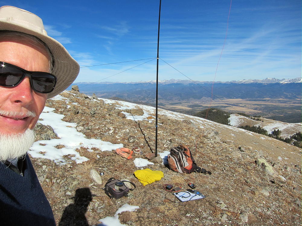
    The summit’s small, but it has a convenient flat spot right at the top. A few live and dead trees are available for supporting a pole or a wire. Since the weather was perfect, I decided to set up right next to the summit block, so I guyed my pole to the rocks.

    I tied the far end of the wire to an erect dead tree, the old SOTA trick for a second pole! Payne Benchmark is a near-perfect HF radio site – very prominent and RF-quiet. I logged 48 CW contacts on 4 HF bands during my activation.

    UHF/VHF coverage probably is significant, because the peak looks east across lower mountains to some large areas out on the plains.

    The peak feels even higher than it is. The vast, open views into the Lost Creek Wilderness reveal peaks and other features not visible from the highways in the valleys below.

    Many SOTA peaks are visible. Lost Platte Peak stands a few miles to the east, and Pikes Peak is visible in the south. Windy Peak and Buffalo Peak are not far away; Green Mountain, Wellington Lake and The Castle stand far below! South Twin Cone and North Twin Cone command the western view, along with higher peaks on the Divide further west. Peaks X and Y stand right across the immense glacial valley of Craig Creek that runs 1000 feet down below.

    These views pulls you in – the more you look, the more you see. As a relative newcomer to the Lost Creek Wilderness, I was stunned by the vastness and intricacy of the views. This is true wilderness – there’s no one else – and it’s all perfect and incredible – for too short a time. Only the radio connects you to civilization.

    Payne Benchmark is a true “SOTA Classic”. The excellent challenging hike, the fine scenery, the pure wilderness, the summit climb through the bristlecone pines, the small rocky summit looking out across incredible views for miles in every direction, and the perfect radio site make this one of the best SOTA peaks around!

    Save this summit for the best day you have free.

    Please don’t visit this summit when cumulus clouds threaten. It’s certainly a dangerous place in a storm. The tiny summit is the highest point for miles, and it’s just reaching up toward the clouds for a lightning strike. Most of the central trunks of the old bristlecone pines there have been struck and killed hundreds of years ago – it’s obvious. Only a few branches are still alive on some – and many others are all dead.

    Lost Platte Peak W0C/SP-086 is only about 4 miles east of Payne Benchmark, and it might be reached by hiking along the heavily-forested top of the Platte River Range, but activating both peaks in one day would be difficult.

    Lost Platte Peak can also be reached from the same trailhead as Payne Benchmark, via the Payne Gulch Trail 637.

    73

    George
    KX0R


    ATTENTION !! WARNING !! There are old mountaineers, and bold mountaineers… there are no old-bold mountaineers. Hiking and mountain climbing are potentially hazardous activities particularly in Colorado with its extreme elevations. I am not accepting responsibility for any death or injury resulting from activations based on my trip reports. Proper training, experience, and personal capability assessment is required – enjoy!
  • W0C/SP-086 (Lost Platte Peak) – 3248 m / 10657 ft

    W0C/SP-086
    Lost Platte Peak
    3248 m / 10657 ft
    First Activation
    Oct 14, 2016

    By KX0R

    Lost Platte Peak is a fine SOTA peak in the wilderness near Bailey, Colorado.

    Key Points:

    Pike National Forest
    • Platte River Mountains
    Lost Creek Wilderness
    • Good marked trail much of the way
    • Off-trail final climb, about one mile to a pleasant summit
    • Nice scenery – wilderness
    • Summit is seldom visited
    • ~ 12 miles round-trip
    • ~ 2500 vertical feet

    Driving Directions:

    • Drive west from Denver via Highway 285 to Bailey
    • Turn south on CR 64, at a bridge next to the lumber-yard
    • Where the road forks, continue left, mostly west, on 2WD dirt road CR 64
    • After about 2 miles, look for Payne Gulch Road on the left
    • Payne Gulch Road is gated and closed to the public
    • Drive past Payne Creek about 0.2 mile
    • Turn left, south, on a small forest road, and continue about 0.1 mile to the parking area
    • Park here – this is the Brookside-McCurdy Trailhead
    • There is no charge to park or enter
    • Google Maps shows the roads in this area OK

    The Hike and the Climb:

    • Google Maps only shows fragments of the trails here – the Trails Illustrated/National Geographic maps are much better.
    • The trail first leads roughly south – it’s not very efficient, because it was built to bypass private land.
    • About one mile from the trailhead, the trail splits.


    • Head left, southeast, on Payne Gulch Trail 637. This trail is less traveled than Trail 607.
    • Follow Trail 637 as it leads toward Payne Creek and up into the Lost Creek Wilderness.


    • The route climbs along old logging roads to a broad pass or saddle.


    • It’s over 4 miles from the trailhead to the pass at 9900 feet:


    • At the pass, leave the trail and climb east-souteast through aspens
    • Ascend the nearby ridge at about 10,100 feet, and follow the ridge southeast toward Lost Platte Peak.

    • It’s more than 1 mile from the saddle at 9900 feet to the summit.
    • The ridge is mixed aspen and conifer forest, with some deadfall.
    • Most of the route is easy, with useful game trails.
    • Climb over a small sub-peak at about 10,280 feet, and Lost Platte Peak comes into view.

    • The final climb to the summit is about 500 vertical feet – just follow the ridge; stay slightly left, north, of any craggy spots.

    Here’s an excellent report on a winter expedition to Lost Platte Peak.

    Details:

    Lost Platte Peak has several rocky points, and they’re all in the large activation zone. Many trees are available for holding a pole or a wire. Because of wind, I set up slightly below the top in a nice aspen grove.

    The peak is a fine HF radio site – very prominent and RF quiet. I logged 58 CW contacts on 4 HF bands during my SOTA first activation.

    UHF/VHF coverage probably is limited to the area around Bailey, plus a few places out east.

    The peak feels very high when you’re up there. The open views into the Lost Creek Wilderness reveal peaks and other features not visible from the highways around the area. Windy Peak W0C/SP-056 and Buffalo Peak W0C/FR-032 stand high in the southeast; Wellington Lake and The Castle W0C/FR-161 stand far below!

    The summit of Bison Peak W0C/FR-021 stands behind other mountains. There’s even a glimpse of the Plains far to the east, as well as a few peaks on the Divide in the west.

    Despite being so close to the Denver Metro Area, the Payne Creek Trail leads to some wild country not visited by the masses. This is a special place; it provides intense solitude and wonderful vistas for the fortunate few who go up there.

    Payne Benchmark W0C/SP-061 is about 4 miles west of Lost Platte Peak, and it might be reached by hiking along the top of the Platte River Range; but activating both peaks in one day would be very difficult. Payne Benchmark also can be climbed from the same trailhead as Lost Platte Peak, via Brookside-McCurdy Trail 607.

    Mount Bailey W0C/FR-062 is only a few miles east of the Brookside-McCurdy Trailhead, and it’s a practical second summit to combine with Lost Platte Peak for a dual activation.

    73

    George
    KX0R


    ATTENTION !! WARNING !! There are old mountaineers, and bold mountaineers… there are no old-bold mountaineers. Hiking and mountain climbing are potentially hazardous activities particularly in Colorado with its extreme elevations. I am not accepting responsibility for any death or injury resulting from activations based on my trip reports. Proper training, experience, and personal capability assessment is required – enjoy!
  • W0C/SP-075 (11060) – 3371 m / 11060 ft

    W0C/SP-075
    11060
    3371 m / 11060 ft
    First Activation
    Sep 18, 2016

    By KX0R

    Peak 11060 is a fun sub-alpine SOTA peak in the Tarryall Mountains east of South Park.

    Key Points:

    Pike National Forest
    • Just outside the Lost Creek Wilderness Area
    • Good trail half way
    • Short off-trail climb to the summit
    • Nice scenery
    • Excellent HF site
    • 2.0 miles round-trip
    • ~500 vertical feet

    Driving Directions:

    • Drive west on Highway 285, and cross Kenosha Pass
    • About 2 miles beyond the Pass, turn left, south, on CR 56, the Lost Park Road
    • This unpaved road is rocky and rough, but it’s normally a 2WD road, and high clearance is not required
    • Follow the road about 13 miles to Lost Pass at 10,680 feet
    • Continue on CR 56 for about 2.3 miles southeast, down the valley
    • At a signed junction, turn left, north, on FR-134
    • FR-134 is a humpy 2WD dirt road, but many vehicles can use it


    • Ascend about a mile to a saddle at almost 10,600 feet
    • About 500 feet northwest of this saddle, a closed road heads south into a logged area
    • This road is on my older Garmin GPS map-set
    • This logging road is clearly visible in Google satellite images with magnification
    • Park near the closed road

    The Hike and Climb:

    • GPS is recommended for navigation
    • Walk south along the closed logging road – it’s almost level at first
    • The road first passes a large, dark pile of logging waste – see Google satellite image
    • Follow the road about ½ mile, until it approaches the north side of 11060 and curves to the east-northeast
    • Leave the road and hike southeast up through open sub-alpine forest
    • The route’s a bit steeper toward the top
    • Stay on the northwest ridge, and avoid any cliffs
    • Hike over some rock outcrops near the top, and continue a short distance along the forested ridge to the summit
    • The peak is near a prominent rock outcrop overlooking the South Fork of Lost Creek

    Additional Details:

    Very few people visit 11060. Even though the peak is over 11,000 feet high, distant views are limited by higher peaks in most directions. Bison Peak and Peak 11423 are visible a few miles to the south; Topaz and North Tarryall Peak stand out to the west. This summit is surprisingly pleasant and uplifting, with so many visual delights all around.  The peak has a convenient balcony for looking out at the sights!

    There are several summits along the ridge of 11060. The sub-peak ¼ mile southeast of the actual peak looks like it’s almost the same elevation as the northwest summit.

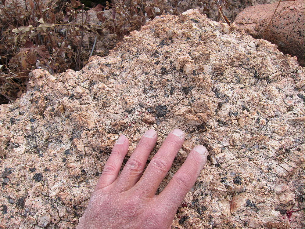
    Most of the rock on the ridge is gneiss or similar; this hard, gray, metamorphic rock forms several interesting outcrops along the top.  This is not the massive orange Pikes Peak granite found in many other Tarryall Range summits.

    11060 is a fine HF site. Miles from development, the noise level is very low. The summit’s quite prominent and falls away quickly in most directions. The peak’s surrounded by slightly higher mountains, but they’re too far away to affect HF skip signals much. However, VHF/UHF coverage is probably poor and limited to the immediate area.

    My SOTA First Activation was fun, with 25 CW contacts logged on 7, 10, and 14 MHz.

    11060 can be combined with another local summit for a dual activation.
    Possibilities include:

    W0C/FR-029 North Tarryall Peak
    W0C/SP-068 11423
    W0C/SP-062 Topaz Mountain
    Etc.

    Be aware of possible hunters in the fall – wear bright orange.

    73

    George
    KX0R


    ATTENTION !! WARNING !! There are old mountaineers, and bold mountaineers… there are no old-bold mountaineers. Hiking and mountain climbing are potentially hazardous activities particularly in Colorado with its extreme elevations. I am not accepting responsibility for any death or injury resulting from activations based on my trip reports. Proper training, experience, and personal capability assessment is required – enjoy!
  • W0C/SP-062 (Topaz Mountain) – 3585 m / 11762 ft

    W0C/SP-062
    Topaz Mountain
    3585 m / 11762 ft
    First Activation
    Sep 18, 2016

    By KX0R

    Key Points:

    Topaz Mountain is a surprisingly accessible sub-alpine SOTA peak in the Tarryall Mountains east of South Park.

    Pike National Forest
    • Jeep trails provide access close to the peak
    • Short, moderate off-trail climb to the summit
    • Fine scenery, nice views
    • Pleasant summit
    • Excellent Radio site
    • ~ 2.0 miles round-trip
    • ~ 600 vertical feet

    Driving Directions:

    • Drive west on Highway 285 and cross Kenosha Pass
    • About 2 miles beyond the Pass, turn left, south, on CR 56, the Lost Park Road
    • This unpaved road is rocky and rough, but it’s normally a 2WD road, and high clearance is not required
    • Follow the road about 13 miles up to Lost Pass at 10,680 feet
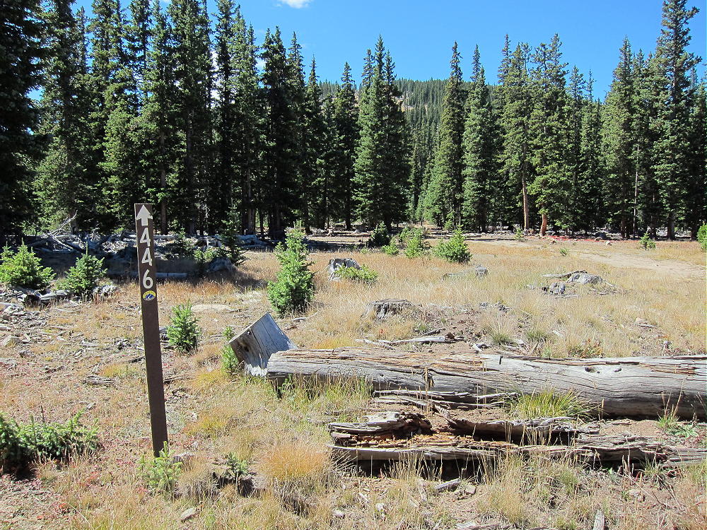
    • About 0.3 miles east of the Pass, turn right, south, on FR-446
    • FR-446 is a high-clearance 2WD road if it’s dry
    • The road has some steep and rocky spots as it approaches Topaz Mountain


    • Depending on your vehicle, you may be able to drive close to Topaz
    • Even if you park part way, the hike up the road is easy
    • Drive or hike to a gentle saddle at 11,200 feet northeast of Topaz
    • An old logging road leads off west to a campsite – park here
    • This point is about 4.2 driving miles from the turn-off from Road 56

    The Hike:

    • Hike along the logging road toward the summit – follow it as it ascends northeast of the peak
    • From the end of the road, continue toward the summit
    • Hike southwest up a steep, clear-cut meadow almost to the top


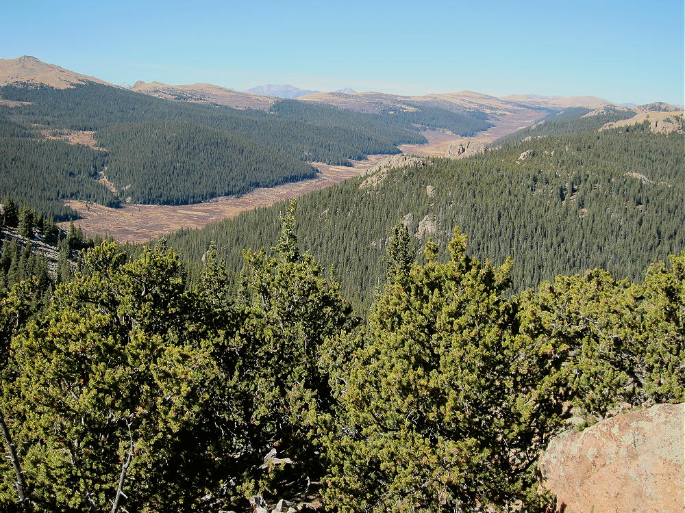
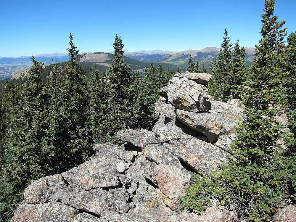
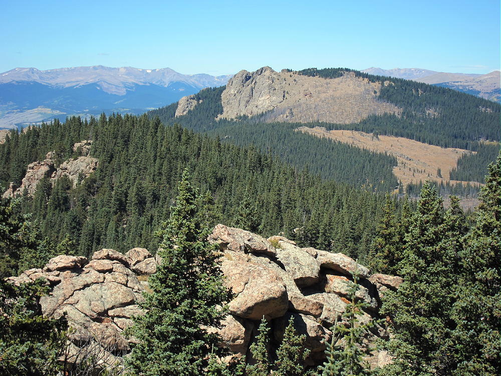
    • The summit is on a forested rock outcrop just above a clear-cut open area; the views are awesome:

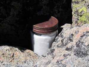
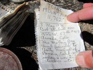
    A jar with a summit register is available on the summit:

    Additional Details:

    The off-trail ascent from the closed logging road to the peak is only about 1/2 mile, with a vertical gain of 500 feet. While not a drive-up summit, Topaz is one of the more accessible peaks in the area, especially if you have a 4WD vehicle and the road’s open.

    Topaz Mountain is a near-perfect HF site. Far from development, the noise level is very low. The prominent summit falls away quickly in all directions. No nearby mountains block HF skip signals. The activation zone is large, with sunny, sheltered spots just south of the craggy peak.

    My log shows 37 CW contacts on 7-10-14 MHz. EA2IF Guru contacted me from Spain on 14 Mhz.

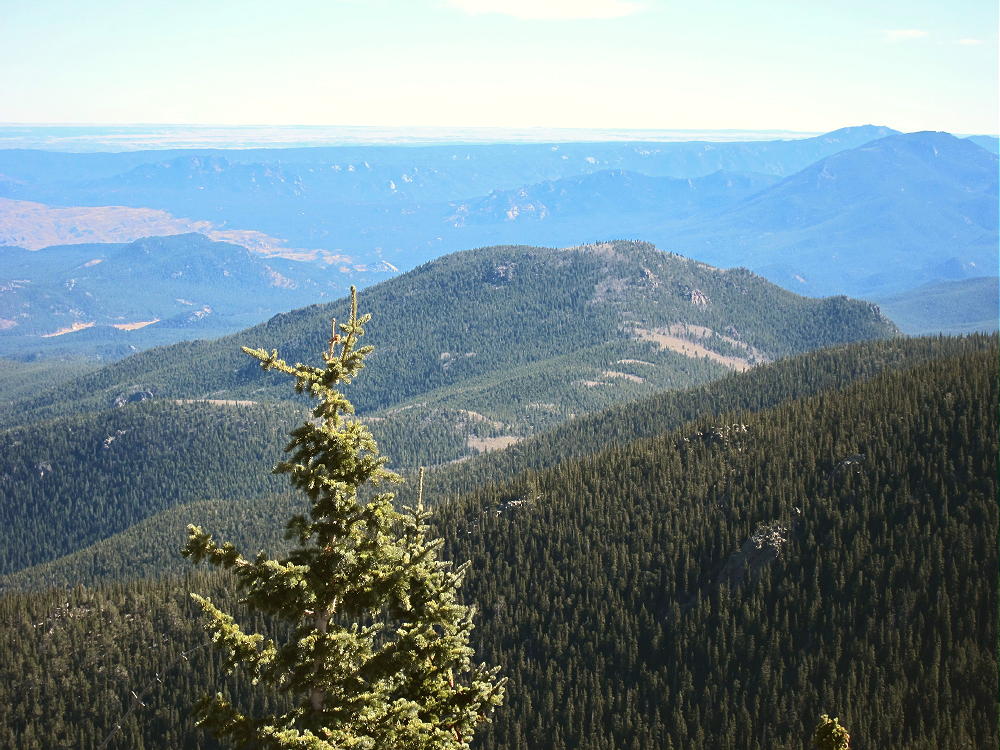
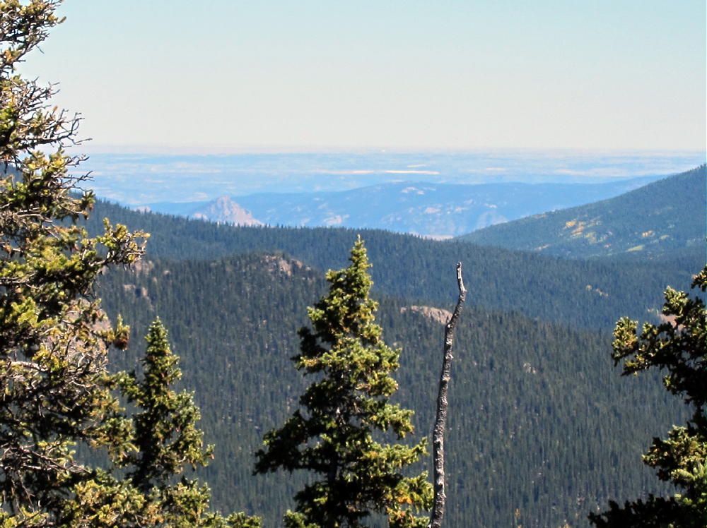
    This summit should be useful for VHF/UHF communication as well. It’s high enough to see across much of South Park to the Divide and the Collegiate Peaks. There’s even a glimpse of the Eastern Plains:


    The peak sits on the long, high ridge-top of the Tarryall Mountains. The open views from the craggy summit are spectacular. North Tarryall Peak W0C/FR-029 stands with its high cliffs 2 miles to the northwest.

    Most of South Park spreads out far below. Other mountain ranges look like high waves in the distance.

    Topaz Mountain can be combined with another nearby SOTA peak for a dual activation. My dual activation with W0C/SP-075 11060 worked well.

    W0C/SP-075 11060
    W0C/SP-068 11423
    W0C/FR-029 North Tarryall Peak
    etc.

    Be aware of possible hunters in the fall – wear bright orange.

    73

    George
    KX0R


    ATTENTION !! WARNING !! There are old mountaineers, and bold mountaineers… there are no old-bold mountaineers. Hiking and mountain climbing are potentially hazardous activities particularly in Colorado with its extreme elevations. I am not accepting responsibility for any death or injury resulting from activations based on my trip reports. Proper training, experience, and personal capability assessment is required – enjoy!
  • W0C/SP-068 (11423) – 3482 m / 11423 ft

    W0C/SP-068
    11423
    3482 m / 11423 ft
    First Activation
    Oct 24, 2016

    By KX0R

    11423 is a fun sub-alpine SOTA peak in the Lost Creek Wilderness east of South Park.

    Key Points:

    • Pike National Forest
    Lost Creek Wilderness Area
    Tarryall Mountains
    • Good trail more than half the way
    • Moderate off-trail climb to the summit
    • Fine scenery
    • Excellent HF site
    • ~ 5.8 miles round-trip
    • ~ 1500 vertical feet

    Driving Directions:

    • Drive down 285 and cross Kenosha Pass
    • About 2 miles beyond the Pass, turn left, south, on CR 56, the Lost Park Road
    • This unpaved road is rocky and rough, but it’s normally a 2WD road, and high clearance is not required
    • Follow the road about 16 miles to the end at the Lost Park Trailhead
    • Park off the road and well back from the gate
    • Don’t go east into the campground, etc.
    • There’s no fee to park at the trailhead

    The Hike and the Climb:

    • Google Maps is inadequate for hiking in this area – trails are missing
    • The Trails Illustrated/National Geographic maps are fine
    • GPS is useful and recommended
    • Follow marked trail 607, Brookside McCurdy Trail, a short distance downhill from the trailhead and west to the South Fork of Lost Creek
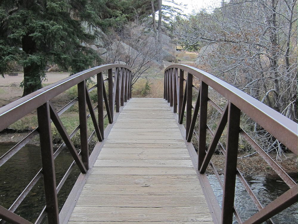
    • The trail crosses the creek on a small wooden bridge


    • The trail meets Trail 609 at a T-junction south of the creek
    • Continue right at the fork, southwest, on Trail 607
    • This nice old trail leads uphill and into the forest


    • The trail climbs roughly SSW along Indian Creek
    • Hike about 1.4 miles from the bridge on Trail 607
    • At about 10,440 feet, leave the trail, and hike roughly southeast up through the forest to the ridge southwest of the summit – try to hit the saddle at 10,960 feet


    • From the saddle, hike northeast up the ridge – go slightly north to bypass a few rock outcrops
    • Climb up the ridge to the rocky summit of 11423

    Additional Details:

    From leaving the trail to the summit is about 0.8 miles, with a vertical gain of 1000 feet. This is steep but practical in the open sub-alpine forest. A bit of easy rock scrambling may be required to reach the summit.

    A sister summit with a rocky pinnacle stands about 1000 feet northeast of the actual summit. It’s almost as high as the main peak. Both summits and the connecting ridge appear to be within the Activation Zone. Most of the peak is orange Pikes Peak granite.

    There’s a summit register in a jar on the actual summit. Most of the trees are healthy bristlecone pines. The views south of massive Bison Peak are awesome, and other parts of the wilderness are visible for miles around.

    The summit area of 11423 is ideal for setting up and HF SOTA station. There’s enough room for a long wire antenna. The space is open and convenient, with a flat spot to operate from; nice trees are available to hold a pole.

    The peak is a near-perfect HF site. Miles from any development, the noise level is very low. The summit’s quite prominent and falls away quickly in all directions. The only significant blockage for HF skip signals is Bison Peak, about 2 miles south of 11423. VHF/UHF coverage is probably limited to a few places in South Park.

    Once I got on the air, I made 55 CW contacts on 7-10-14 MHz.  These included a summit-to-summit (S2S) contact with KH7AL on W0C/FR-134 on 7 MHz, and a DX contact with CT1HIX on 14 Mhz.

    I first climbed this mountain by an interesting but longer route. I hiked more than 2-1/2 miles on trail 607, all the way around the rocky southwest corner of the mountain, before I left the trail. I entered a large meadow southwest of the summit.

    After crossing north through the meadow, I continued north up through open forest to the saddle on the southwest ridge; then I followed the ridge up to the peak. My descent was via the route described above.

    A short, direct route up the north side of the mountain to the northwest ridge might be practical – however, I have not tried this.

    11423 might be combined with other local SOTA peaks for a dual activation:

    11060                       W0C/SP-075  less difficult, not far north

    Topaz Mountain         W0C/SP-062   less difficult, further north

    North Tarryall Peak     W0C/FR-029  more difficult, further north

    Bison Peak                 W0C/FR-021  much more difficult, nearby

    Be aware of possible hunters in the fall – wear bright orange.

    73

    George
    KX0R


    ATTENTION !! WARNING !! There are old mountaineers, and bold mountaineers… there are no old-bold mountaineers. Hiking and mountain climbing are potentially hazardous activities particularly in Colorado with its extreme elevations. I am not accepting responsibility for any death or injury resulting from activations based on my trip reports. Proper training, experience, and personal capability assessment is required – enjoy!

  • W0C/SP-069 (Lake Park Peak) – 3476 m / 11403 ft

    W0C/SP-069
    Lake Park Peak
    3476 m / 11403 ft
    First Activation
    Oct 20, 2016

    By KX0R

    Lake Park Peak is a challenging sub-alpine SOTA peak in the Tarryall Mountains east of South Park.

    Key Points:

    Pike National Forest
    Lost Creek Wilderness Area
    • Good trail most of the way
    • Challenging off-trail climb to the summit
    • Great scenery
    • Excellent Radio site
    • ~ 12.5 miles round-trip
    • ~ 3000 vertical feet

    Driving Directions:

    • Drive Highway 285 west from Denver, cross Kenosha Pass, and continue to Jefferson
    • Turn south on Highway 77 and go about 16 miles to Tarryall Reservoir
    • Continue south on 77 for about 10.7 miles to the trailhead at Spruce Grove Campground
    • This campground is about a mile south of Tarryall Ranch
    • Look for a sign for the USFS Spruce Grove Campground on the east side
    • Park outside the campground, away from the gate
    • There is no charge to park

    The Hike and Climb:

    • Google Maps is inadequate for hiking in this area – trails are missing
    • The Trails Illustrated/National Geographic maps are fine
    • GPS is useful and recommended
    • Walk from the trailhead down into the campground, and head slightly east and down to Tarryall Creek
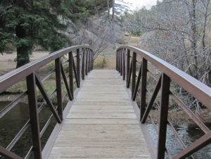
    • Cross the creek on a large footbridge
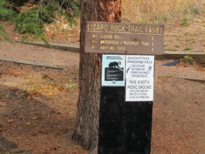
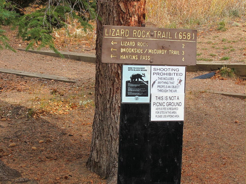
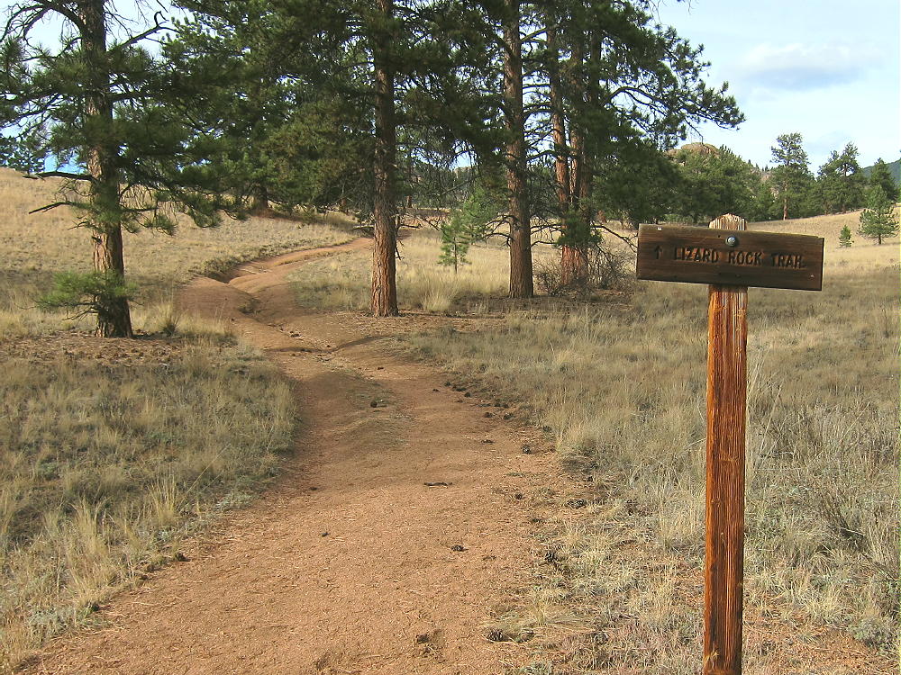
    • Immediately head left, upstream, on trail Lizard Rock Trail 658
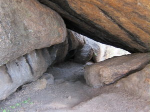
    • The route passes through a tunnel under a large boulder


    • Continue north through open meadows and up a small canyon on Trail 658


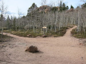
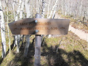
    • Where the trail comes to a T-junction, turn right, east on Trail 630 toward Hankins Pass. The trail signs were missing or damaged when I was there.
    • Follow the trail up more than a mile to Hankins Pass.


    • At the Pass, turn left, north, and follow marked Trail 639 as it climbs switchbacks up toward Lake Park.
    • Near 10,900 feet the trail reaches an obvious saddle – Lake Park is visible below
    • Head right, off the trail to the east, and climb toward the ridge southwest of Lake Park Peak
    • Near the top of the ridge, at about 11,100 feet, contour around to the east, to the south side of Lake Park Peak


    • Climb up through forest and rocks until you see the summit, and then head up the knobby Pikes Peak granite to the top.
    • This route avoids rock climbing and scrambling along the craggy southwest ridge
    • Note that the western summit is slightly higher than the steep eastern sub-peak, which stands about 500 feet away

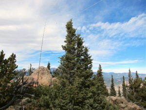
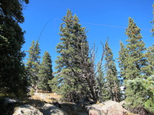
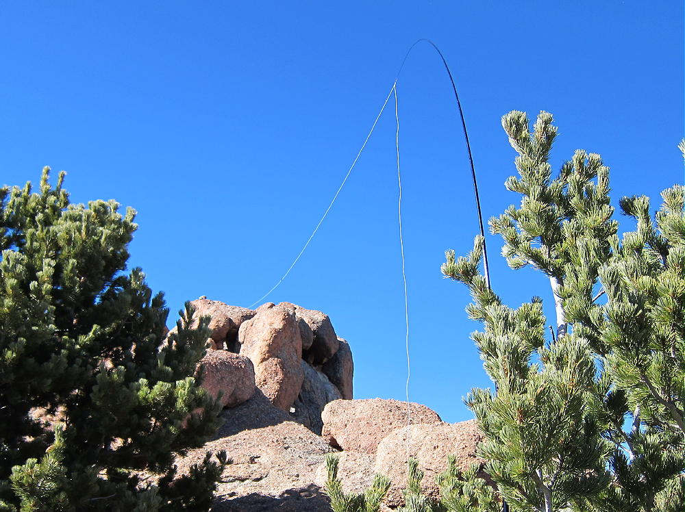
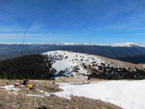
    In the image above, look carefully at lower right for the white wire antenna running all the way up to the rock at upper left.

    Additional Details:

    The off-trail part of this ascent is harder than it looks on the map, and it may take longer than you expect! I climbed via the southwest ridge, which involves route-finding and some class-3 moves in several spots. The orange granite is good rock, and the ridge up to the summits is interesting, with many weird rock formations. Lake Park Peak is rarely visited, but it’s visually fascinating.

    The actual summit is all granite, and setting up a pole there may be difficult. I moved down to the east and tied my pole to a pine tree; I ran the wire up to the ridge near the summit. I had shelter from the wind, warm sun, and an excellent spot to operate from.

    Lake Park Peak is a perfect HF site. Miles from any development, the noise level is very low. The prominent summit falls away quickly in all directions. No nearby mountains cause significant blockage of HF skip signals.

    My SOTA First Activation was fun. I made 26 CW contacts on 3 HF bands.

    The peak may be a useful VHF/UHF site as well. It’s high enough to see parts of the Eastern Plains, Pikes Peak, and across South Park to the Collegiate Peaks.

    Check this link for more info on the Lost Creek Wilderness.

    Be aware of possible hunters in the fall – wear bright orange.

    73

    George
    KX0R


    ATTENTION !! WARNING !! There are old mountaineers, and bold mountaineers… there are no old-bold mountaineers. Hiking and mountain climbing are potentially hazardous activities particularly in Colorado with its extreme elevations. I am not accepting responsibility for any death or injury resulting from activations based on my trip reports. Proper training, experience, and personal capability assessment is required – enjoy!
  • W0C/FR-038 (South Tarryall Peak) – 3416 m / 11206 ft

    W0C/FR-038
    South Tarryall Peak
    3416 m / 11206 ft
    Oct 12, 2016

    By KX0R

    South Tarryall Peak is a challenging sub-alpine SOTA peak in the Lost Creek Wilderness, east of South Park.

    Pike National Forest
    Lost Creek Wilderness Area
    • Good trail most of the way
    • Challenging off-trail climb to the summit
    • Awesome scenery
    • Excellent Radio site
    • 10.0 miles round-trip
    • 2700 vertical feet

    Driving Directions:

    • Drive down 285, cross Kenosha Pass, and continue to Jefferson
    • Turn south on Highway 77 and drive about 16 miles to Tarryall Reservoir
    • Continue south on 77 for about 10.7 miles to the trailhead at Spruce Grove Campground
    • This campground is about a mile south of Tarryall Ranch
    • Look for a sign for the USFS Spruce Grove Campground on the east side
    • Park outside the campground, away from the gate
    • There is no charge to park

    The Hike and the Climb:

    • Google Maps is inadequate for hiking in this area – trails are missing
    • The Trails Illustrated/National Geographic maps are fine
    • GPS is useful and recommended
    • Walk from the trailhead down into the campground
    • Head slightly east and down to Tarryall Creek
    • Cross the creek on a large footbridge
    • Immediately head left, upstream, on Lizard Rock Trail 658
    • The route passes through a tunnel under a large boulder

    • Continue north through open meadows and up a small canyon on Trail 658

    • Where the trail comes to a T-junction, turn right, east, on Hankins Pass Trail 630. Some trail signs were missing or damaged when I was there.
    • Follow the trail up more than a mile to Hankins Pass.


    • At the Pass, turn right, south, and hike off-trail, past a campsite, and up into the forest
    • Follow a social trail up toward a large rock formation about 200 yards to the south


    • Stay on the right (north) side of the rock formation and ascend south
    • From the southern end of the rock formation, continue climbing south along a ridge
    • The ridge leads south to the saddle east of South Tarryall Peak
    • There’s a path with occasional cairns almost all the way up to the high saddle


    • At the top of the ridge, break out of the forest and climb up to the wide saddle at 10,960 feet.

    • The saddle and the peak have been burned by a fire; numerous dead trees stand or lie on the slopes

    • Climb west from the saddle up the rocky ridge to the summit

    Additional Details:

    The trails to Hankins Pass are excellent; this part of the hike is relatively efficient.

    The off-trail part of this ascent is easier than it looks on the map, provided you go up to the large rock formation and then follow the ridge route up to the saddle, as described above. The mountain is all Pikes Peak granite, with numerous knobs and bumps.

    An old triangulation station stands on the peak – it’s a large pole with a cross. The USCGS benchmark stands underneath the cross, and the steel guy wires are still holding up the pole. Incredible views spread out in all directions.

    South Tarryall Peak is a perfect HF site. Far above development below, the noise level is very low. The prominent summit falls away quickly in all directions. No nearby mountains block HF skip signals, except perhaps a couple of higher peaks to the east. Several good spots are available for setting up a pole and operating radio gear.

    The peak may be useful for VHF/UHF communication as well. It’s high enough to see areas to the south and across South Park to the Collegiate Peaks.

    I had a fun SOTA activation, with 40 CW contacts on 4 HF bands.  These included a summit-to-summit (S2S) contact with NS0TA on W6/CN-002 (Lassen Peak), 9A7W Ozren in Croatia, and John ZL1BYZ in New Zealand.

    It might be possible to combine South Tarryall Peak with nearby Lake Park Peak W0C/SP-069 for a dual activation.  This would be a long, hard day!

    Be aware of possible hunters in the fall – wear bright orange.

    73

    George Carey Fuller
    KX0R


    ATTENTION !! WARNING !! There are old mountaineers, and bold mountaineers… there are no old-bold mountaineers. Hiking and mountain climbing are potentially hazardous activities particularly in Colorado with its extreme elevations. I am not accepting responsibility for any death or injury resulting from activations based on my trip reports. Proper training, experience, and personal capability assessment is required – enjoy!
  • W0C/PR-074 (Ptarmigan Peak) – 3588 m / 11773 ft

    W0C/PR-074
    Ptarmigan Peak
    3588 m / 11773 ft
    First Activation
    Nov 8, 2016

    By KX0R

    Ptarmigan Peak is a fine, fun SOTA peak in the Vasquez Mountains west of Fraser, Colorado.

    Key Points:

    Arapaho National Forest
    Byers Peak Wilderness
    • Moderate climb to a pleasant, alpine summit
    • Nice scenery – fine views of Byers Peak and Indian Peaks
    • Superb HF site
    • Lightly visited
    • ~ 7.3 miles round-trip
    • ~ 1875 vertical feet
    SOTA Classic!
    Driving Directions:

    • Drive to Fraser via US 40
    • Turn south on CR 72, and then turn right on connecting road to CR 73
    • CR 73 is a good 2WD dirt road
    • Follow CR 73 SW into the Fraser Experimental Forest
    • Drive southwest for about 8 miles.
    • Turn right at the sign for the Byers Peak Trailhead
    • Follow FR 742 about 2.7 miles up to the TH
    • The trailhead is a one-way loop on both sides of the creek, with specified parking areas

    The Climb:

    • Start up the closed road toward Byers Peak
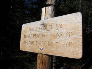
    • At the sign for Bottle Pass Trail N16, head right and uphill on a good foot path


    • The trail climbs up through pleasant forest and eventually reaches an alpine saddle near 11,000 feet, between Bottle Peak and Byers Peak


    • Head north on the trail up the south ridge of Bottle Peak.
    • Either hike over Bottle Peak, or contour around its west side toward Bottle Pass – 11,320 feet
    • There’s no trail west of Bottle Peak
    • Cross Bottle Pass and climb up the slopes of Ptarmigan Peak
    • The south ridge provides a pleasant route up to the small, prominent summit

    Details:

    Ptarmigan Peak is a remote, seldom-climbed summit that combines a fine alpine experience with a good SOTA activation. The road from Fraser, the Byers Peak Trailhead, and the Bottle Peak Trail provide relatively convenient access.

    The shadowy road was quite icy up near the trailhead, but there were no worries once I was on the sunny trail! I was there on a nice late fall day, and it was wonderful to be so high with no issues. There was some snow in the meadows near Bottle Pass, but most of the route was dry.
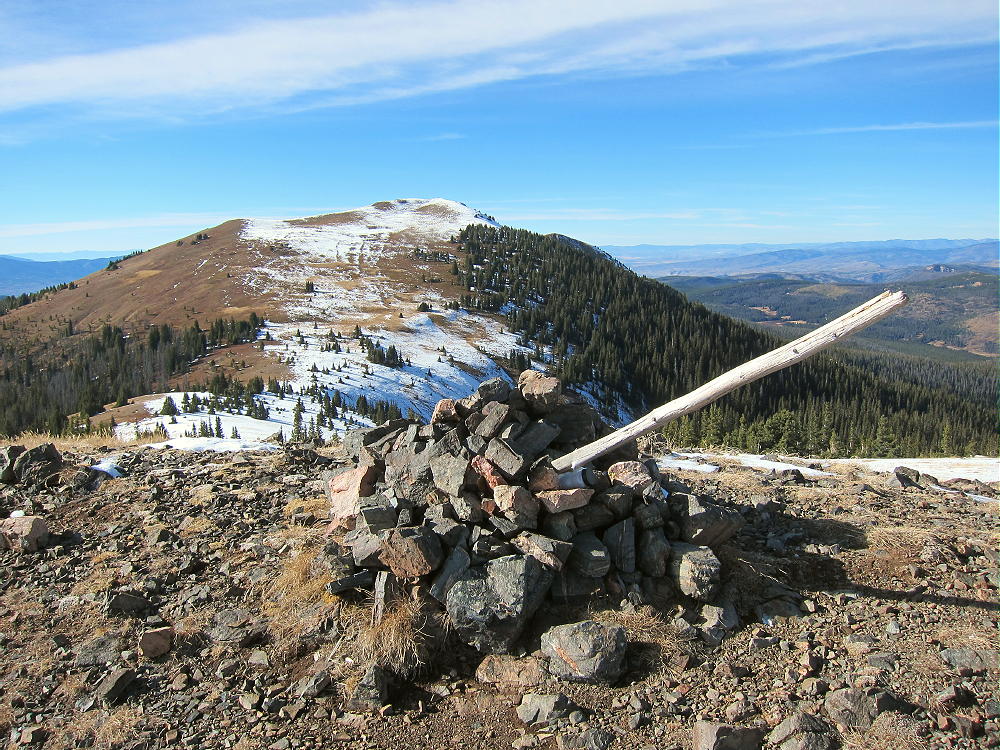
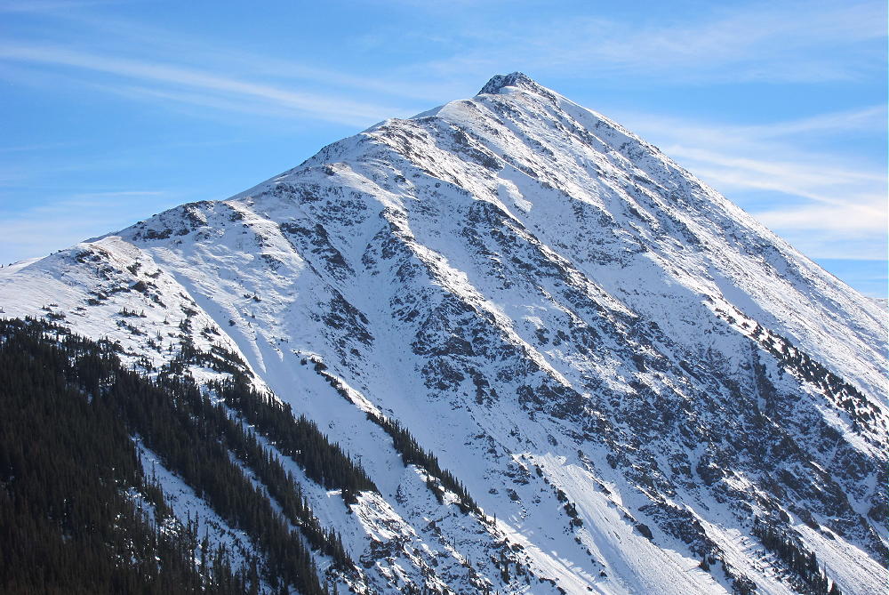
    The views of Byers Peak’s snowy north side were incredible! What a place to do a SOTA activation so late in the year!

    The barren summit of Ptarmigan Peak is exposed to the wind, and there are no trees or boulders to use as supports for a pole. The activation zone is not large, but the ridge offers some reduction in wind.

    There’s no development near Ptarmigan, and the RF noise level is very low. The day I was there, conditions were almost ideal. This is an almost perfect HF site, but few VHF/UHF operators are likely within range. Byers Peak blocks HF signals somewhat, but only to the south.

    My log shows an incredible 66 CW contacts on 4 HF bands in 80 minutes.

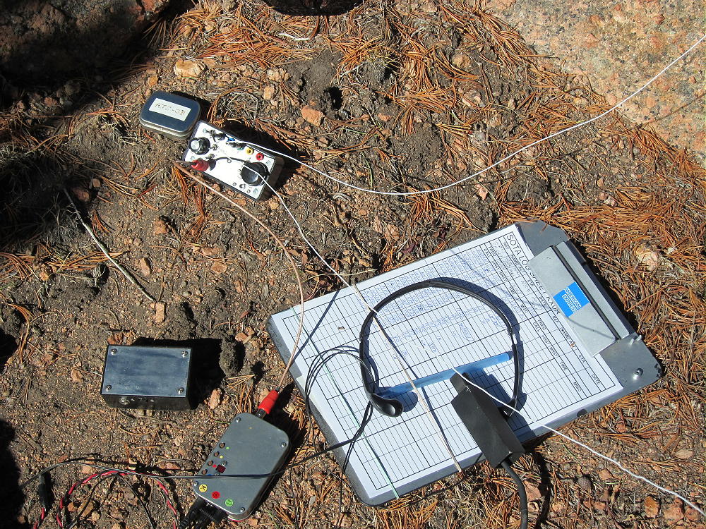
    Included were two DX contacts on 18 MHz: ZL1BYZ in New Zealand, and J6/AK5SD in Saint Lucia. I also contacted W0RW/PM, Paul, pedestrian mobile on 20M CW down in Texas! That was with my ATS-3B, end fed wire on a pole, and just 5 watts. It really IS a perfect site!

    Ptarmigan Peak is a SOTA Classic!

    • Alpine wilderness
    • Spectacular views
    • Fun, interesting hike
    • Ideal HF site
    • Accessible trailhead

    On a good, long, dry day it might be possible to combine an activation of Byers Peak W0C/PR-003 with Ptarmigan.

    This might be a good place to avoid on busy summer weekends. Byers Peak is popular, and parking is limited. However, few visitors venture off the trail to climb Ptarmigan. I climbed nearby Bottle Peak on the way out, and I recommend this easy side-trip for the views and perspective it offers.

    73

    George
    KX0R


    ATTENTION !! WARNING !! There are old mountaineers, and bold mountaineers… there are no old-bold mountaineers. Hiking and mountain climbing are potentially hazardous activities particularly in Colorado with its extreme elevations. I am not accepting responsibility for any death or injury resulting from activations based on my trip reports. Proper training, experience, and personal capability assessment is required – enjoy!