SOTA outings by KØMOS and contributors

Tag: Mountain Park Campground

  • W0C/FR-205 (7612) – 2320 m / 7612 ft

    W0C/FR-205
    7612
    2320 m / 7612 ft
    Oct 20, 2015

    By KX0R

    Peak 7612 is an obscure SOTA summit in the Poudre Canyon west of Fort Collins. It was surprisingly fun to climb and activate!

    Key Points:

    Roosevelt National Forest
    • Accessible trailhead
    • No marked trail
    • Abandoned roads provide a path almost to the summit
    • Good navigation required
    • Minimal bushwhacking via correct route
    • Exciting, open summit with great views of Poudre Canyon
    • No recent fire damage – live trees and bushes
    • Fine HF summit
    • Trailhead elevation ~ 6700 feet
    • ~ 2.7 miles round-trip
    • ~ 900 vertical feet
    Driving Directions:

    • Drive to Fort Collins.
    • Continue northwest from Fort Collins on Highway 287 to Ted’s Place.
    • Turn west on Highway 14, and enter the Poudre Canyon after 4 miles.
    • Continue up the winding canyon road, past the Narrows, for about 23 miles to Mountain Park Campground.
    • This USFS campground is clearly marked.
    • Pass the bridge to the Campground, and drive west about 0.3 miles
    • Park on the right (north) side of the road at a large pull-out, directly across the River from the Campground.
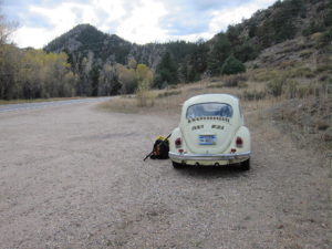
    The Hike:

    • Avoid the obvious trail heading northwest up a gulch – it goes to an informal shooting area.
    • Hike northeast from the parking spot instead, along a less obvious, gentle path through ponderosa pines, for about 100 yards to an old abandoned road.
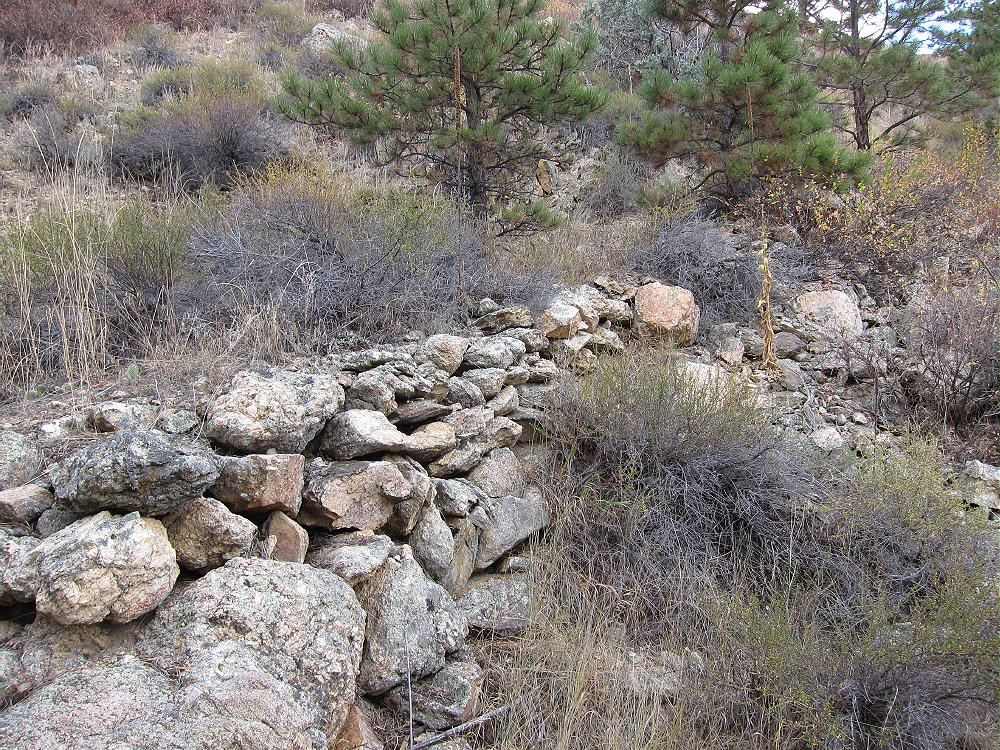

    • This overgrown road is the easiest way up.
    • First the road climbs progressively up into a large valley west of the mountain.
    • Then it continues up a long, gentle ridge leading north to the west ridge of the mountain.
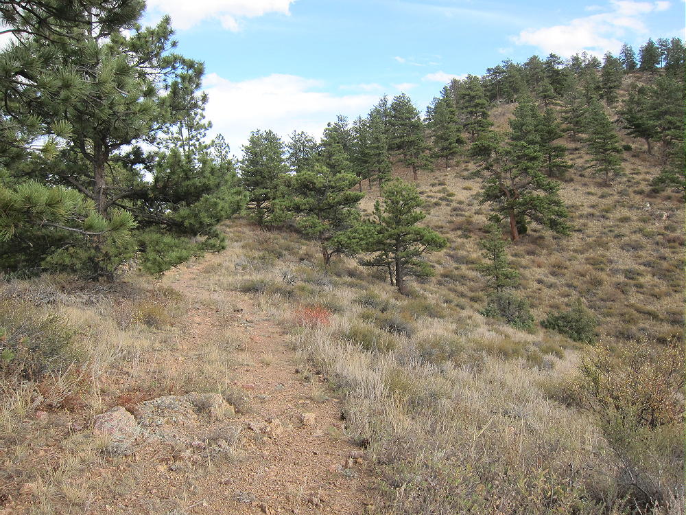

    • The path intersects a more recent jeep road running along the west ridge.
    • This road comes up a steep hill from the northwest – a jeep road is visible in the distance.
    • This un-maintained trail leads to several old campsites northwest of the summit.
    • The jeep trail ends just beyond these campsites.
    • Most of this route is visible on the magnified Google satellite image.

    Beyond the end of the road, a path climbs southeast along the ridge, where it crosses a prominent false summit with a large buttress on the south side. The route continues along the ridge over several small false summits. The trail gradually disappears, but it’s an easy hike to the actual peak.
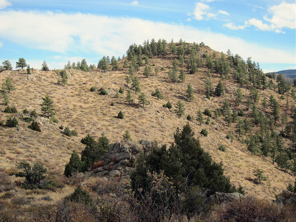
    The final climb up the north side of 7612 is steep but short. Most of the mountain is bare, but there are no black burned trees, either standing or down; live trees grow on the north side of the summit.

    Additional Details:

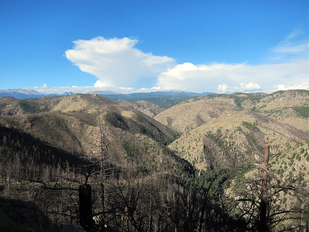
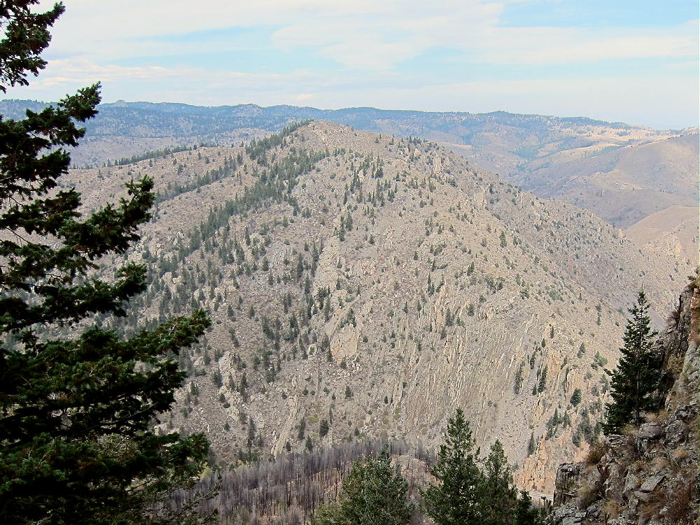
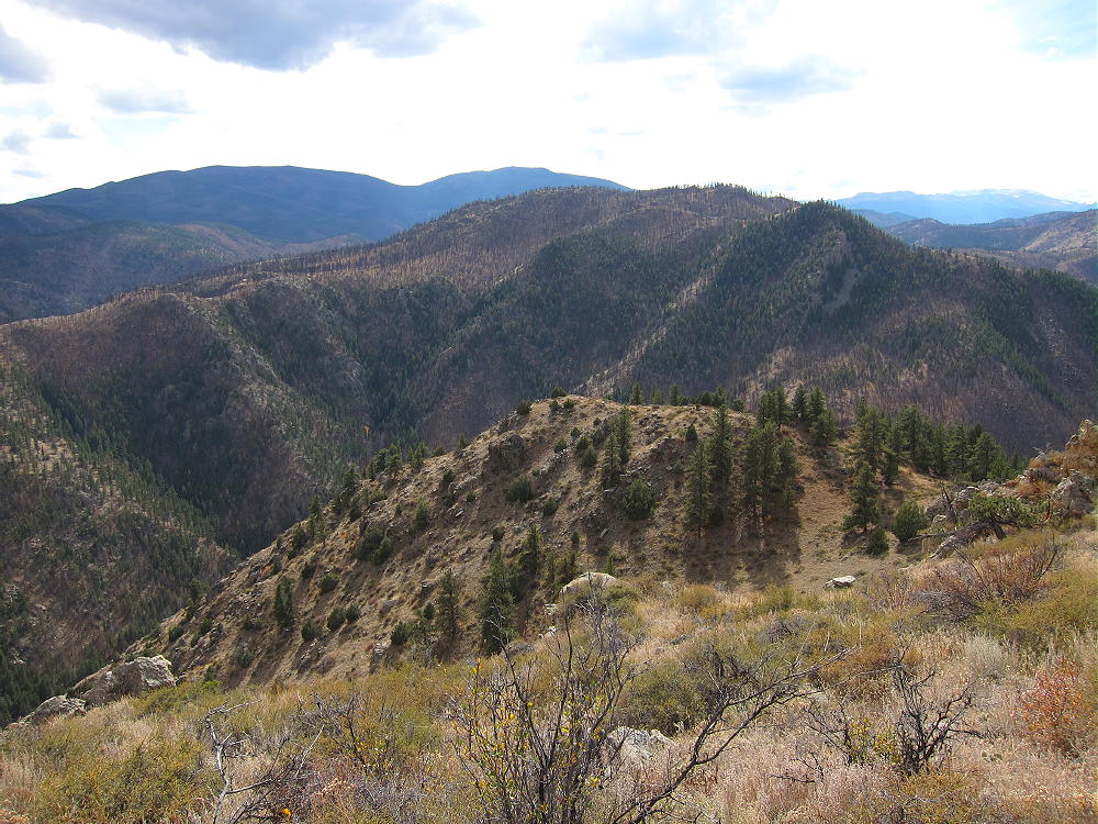
    There are great views for miles in all directions. Mount McConnel stands south of Mountain Park Campground, about a mile directly across the canyon.
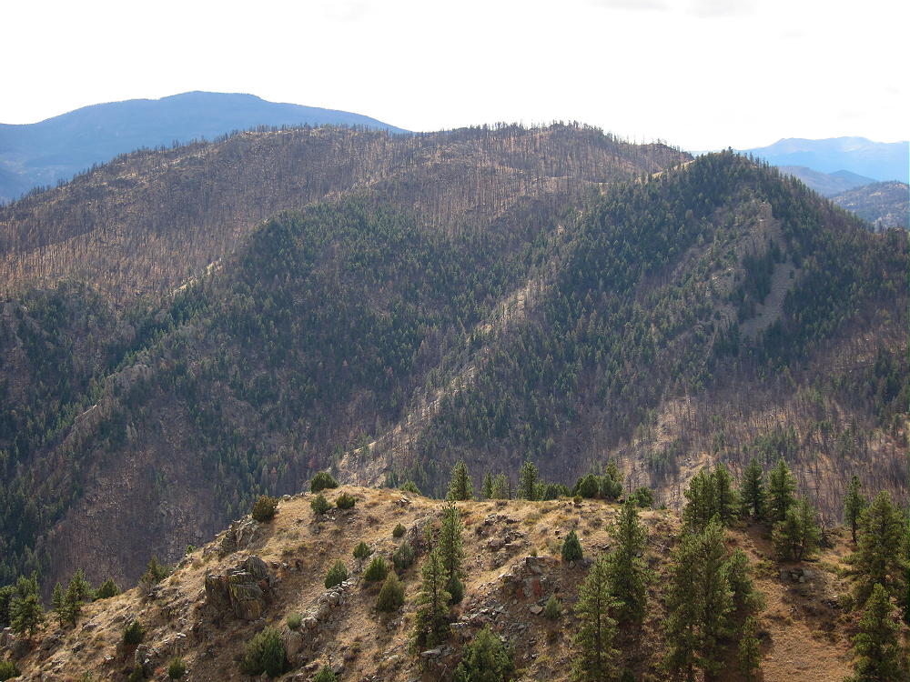
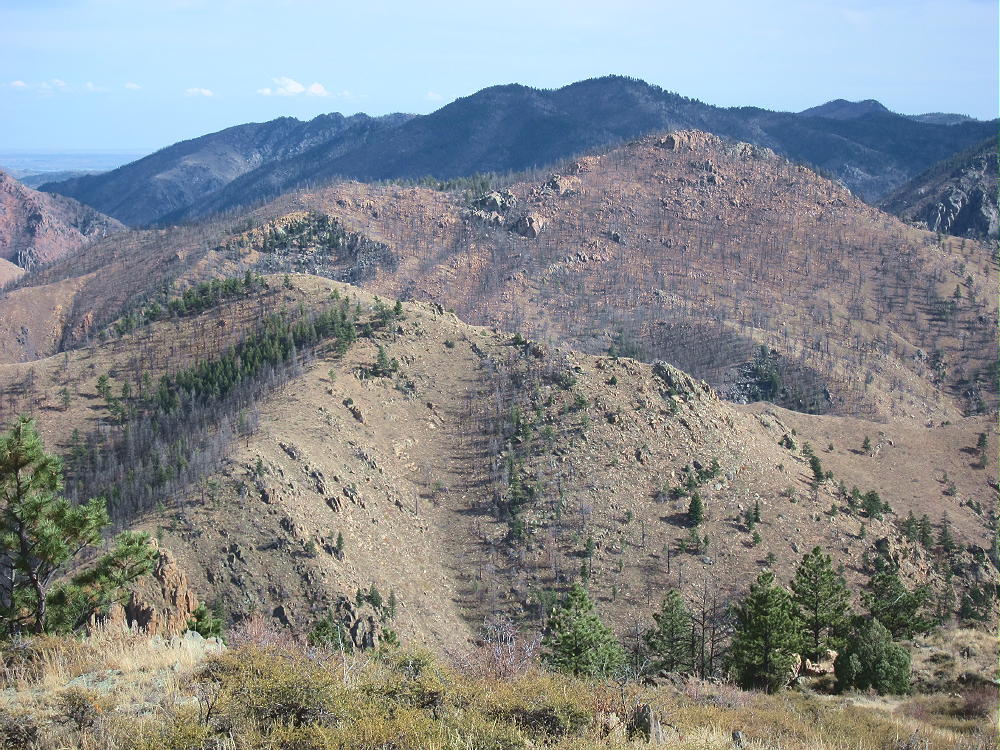
    The views down into the canyon are exciting. The Plains are barely visible in the east, but the high peaks to the west are easy to see. The perspective up there is very different from what you have in a vehicle down in the canyon!
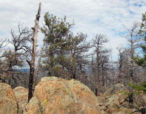
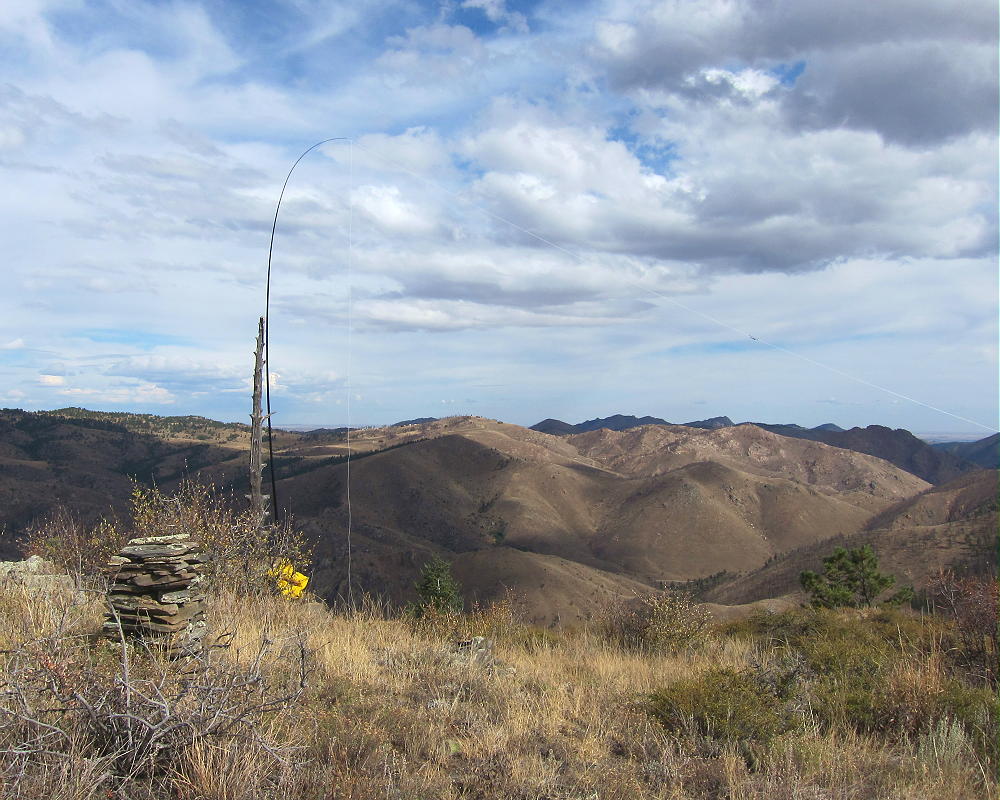
    A large classic cairn made from slabs of gneiss stands on the summit. A dead tree stands near the cairn – it’s anchored down in the rocks, and it’s ideal for holding an antenna pole.
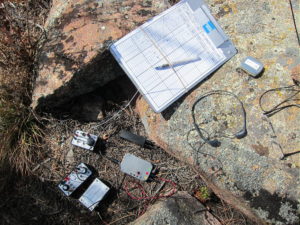
    There’s some shelter from wind on the east side of the rocks by the dead tree, near the cairn; this is where I set up my gear.
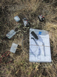
    7612 is a fine HF radio summit. It’s very prominent, with little blockage from higher mountains nearby. The only development nearby is far down in the canyon, so the HF noise level is low. With my pole supported by the dead tree near the cairn, I tied the far end of my antenna wire to a piece of another tree stuck into a bush south of the summit.

    My 5-band activation on 7-10-14-18-21 CW was fun – I made 32 contacts in about an hour.

    This site is probably not very effective for VHF/UHF work. The location is too far west into the mountains to see the population centers to the east.

    Several other accessible SOTA peaks are nearby:

    W0C/FR-088 Mount McConnel       1 mile south
    W0C/FR-097 Sheep Mountain        1.7 miles east
    W0C/FR-198 7980                        4.7 miles east
    W0C/FR-095 Greyrock Mountain   8.9 miles east

    Of these, Sheep Mountain and Mount McConnel are the best choices for a dual or multiple activation. I had no problem activating Sheep Mountain on the same day as 7612.

    Use caution during hunting season in the fall, and wear orange clothing. Please be careful about lightning, especially in spring and summer.

    73

    George
    KX0R


    ATTENTION !! WARNING !! There are old mountaineers, and bold mountaineers… there are no old-bold mountaineers. Hiking and mountain climbing are potentially hazardous activities particularly in Colorado with its extreme elevations. I am not accepting responsibility for any death or injury resulting from activations based on my trip reports. Proper training, experience, and personal capability assessment is required – enjoy!
  • W0C/FR-088 (Mount McConnel) – 2445 m / 8020 ft

    W0C/FR-088
    Mount McConnel
    2445 m / 8020 ft
    Oct 9, 2015
    Nov 8, 2015 with N0TA
    Sep 3, 2016 with N0TA

    By KX0R

    Mount McConnel is a fine SOTA peak in the Poudre Canyon area.

    Key points:

    • Maintained trail all the way to the top
    • Roosevelt National Forest
    • Accessible trailhead
    • Easy hike
    • Good views and scenery
    • Popular in summer
    • Large activation zone
    • Most of the summit area was burned in 2012
    • ~ 4.2 miles round-trip
    • ~ 1300 vertical feet

    Driving Directions:

    • Drive to Fort Collins
    • Continue northwest from Fort Collins on Highway 287 to Ted’s Place.
    • Turn west on Highway 14, and enter the Poudre Canyon after 4 miles.
    • Continue up the winding canyon road, past the Narrows, for about 23 miles to Mountain Park Campground

    • This USFS campground is clearly marked.
    • Access is via a bridge on the south side of the main highway.
    • The trailhead is in the campground area.
    • Cross the bridge to find the trailhead.

    Across the bridge, a right turn leads to special parking for trail-users; parking is limited, and a fee may be charged. If the campground’s closed, park just east of the bridge along the main highway, and walk across the bridge.

    The Hike:

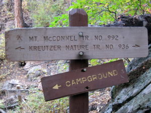
    The Mount McConnel Trail # 992 heads up the north side of the mountain from the campground area. After about ½ mile, the path meets the William Kreutzer Nature Trail # 936 – continue up the main trail, which ascends several switchbacks on the north side of the mountain.

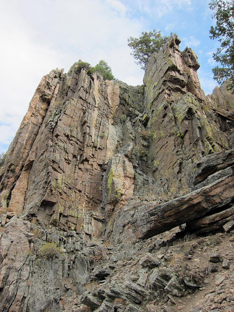
    The route continues up a ridge northwest of the summit – there are good views of the Canyon.  The trail passes some interesting metamorphic rock formations with vertical beds.

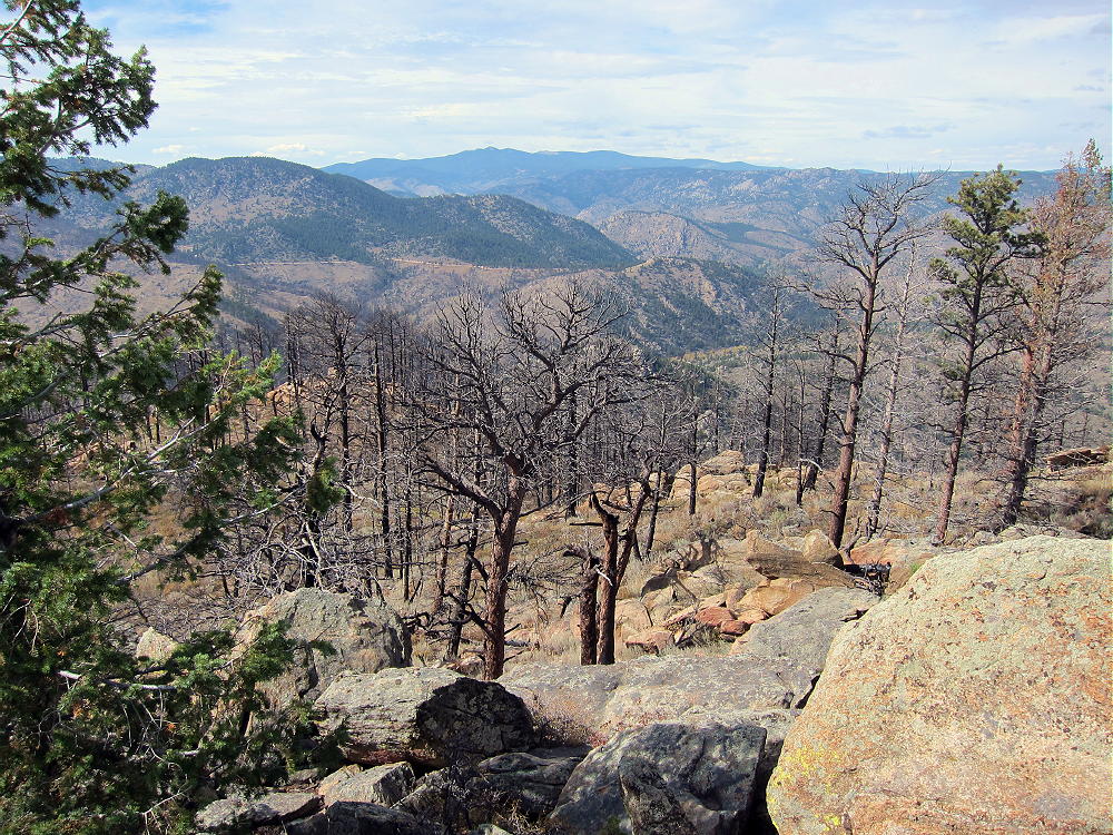
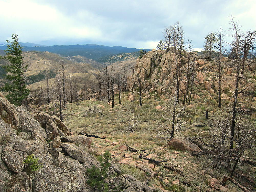
    Part of the summit forest burned in the High Park Fire of 2012.

    As the trail approaches the mountaintop, an unmarked fork leads west 200 yards to the summit area. The actual peak is the top of a large rock formation. The spacious Activation Zone offers plenty of room to set up, either near the peak, or on other convenient rock formations in the Zone. When the forest burned, the summit area became more open and sunny.

    Additional Details:

    The main trail continues east from the fork near the summit, traverses several sub-peaks, and leads down the east ridge of the mountain. Then it descends steeply down a “primitive trail” – this is an accurate description. On my first trip up, I ascended via the primitive trail, and it’s steep, with large steps required on some big rocks. It would not be a good route in winter – the main trail is much better. The primitive trail is an alternate, more challenging route with great views down into the Canyon; this path eventually connects with the Kreutzer Nature Trail at a fork. The Nature Trail leads west and connects with the main trail above the Campground. The northern path leads down toward the River and ends by the bridge at the entrance to the Campground.

    Trail 992 is a popular trail. In summer an early start is advised, partly to avoid thunder storms, and also because parking is limited.  This trail is a National Recreation Trail and was built by the CCC in the 1930’s.  R.C. McConnel was an early National Forest ranger in the area.

    Mount McConnel is a superb HF radio site. The Activation Zone contains several large rock outcrops upon which you can set up radio gear and operate; there are trees to support a pole, and some shelter from wind is available. An activation “on the rocks” provides additional height for the antenna, enhancing HF propagation.

    The only development near the mountain is at the campground far below, so the HF noise level is very low.

    On Oct 9, 2015, I made 30 contacts on 7, 10, 14, and 18 MHz CW during my 1 hour, 5 minute activation.

    On Nov 8, 2015, N0TA and I activated McConnel together. John made 20 contacts on 14 MHz CW, while I made 28 contacts on 7, 10, 18, and 21 Mhz CW nearby.

    On Sep 3, 2016, N0TA and I again activated McConnel together. John made 30 contacts on 10 and 14 MHz CW, while I made 27 contacts on 7, 10, and 14 MHz CW.

    McConnel is probably a poor VHF/UHF site, due to its location in the Poudre Canyon. The Plains are hidden behind other mountains, and coverage of populated areas is limited.

    Several other SOTA peaks are nearby, and a dual activation is possible:

    Peak 7612                W0C/FR-205    ~ 1 mile north across the Canyon
    Sheep Mountain        W0C/FR-097    ~ 2 miles east
    7980                        W0C/FR-198    ~ 5 miles east
    Greyrock Mountain    W0C/FR-095    ~ 9.5 miles east

    These mountains are all 1-point summits, with rocky tops and challenging hikes. Many excellent higher SOTA peaks are farther west, near Cameron Pass, etc.

    Mountain Park Campground offers camping in the warmer months, and there are many other campgrounds in the Poudre Canyon. Numerous opportunities for mountain recreation are available across the area – hiking, fishing, rafting, climbing, backpacking, biking, etc.

    73

    George
    KX0R


    ATTENTION !! WARNING !! There are old mountaineers, and bold mountaineers… there are no old-bold mountaineers. Hiking and mountain climbing are potentially hazardous activities particularly in Colorado with its extreme elevations. I am not accepting responsibility for any death or injury resulting from activations based on my trip reports. Proper training, experience, and personal capability assessment is required – enjoy!