SOTA outings by KØMOS and contributors

Tag: Mount Zirkel Wilderness

  • WØC/PR-Ø8Ø (11543) – 3511 M / 11543 ft

    W0C/PR-080 (11543)
    3511M / 11543ft
    Sep 21, 2013
    by KX0R

    Please see the trip report for W0C/PR-071 Ethel Mount for most of the details about the route used to climb 11543.

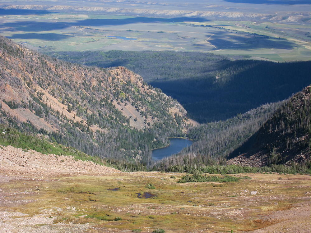
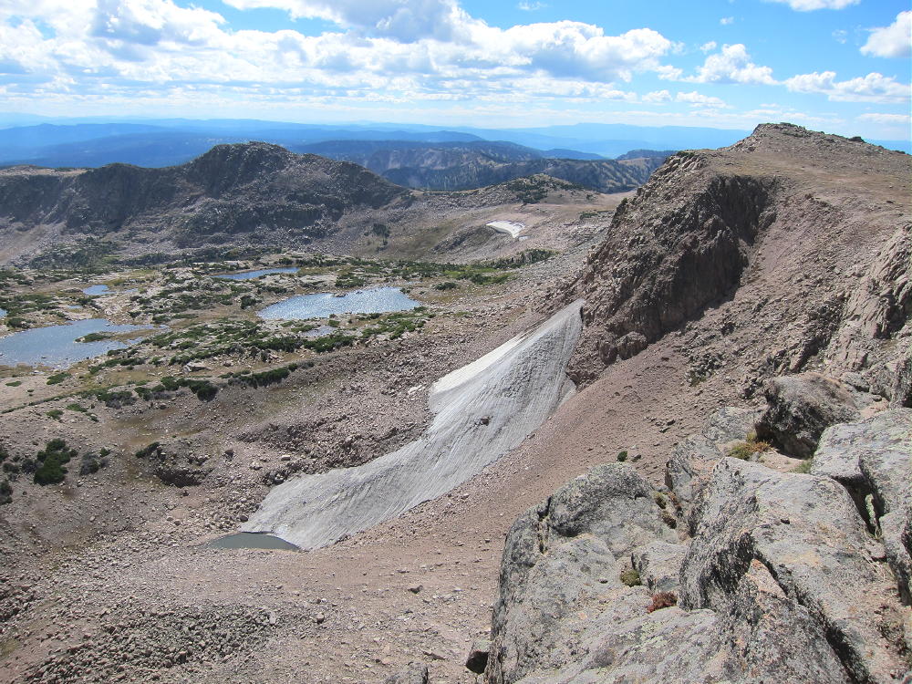
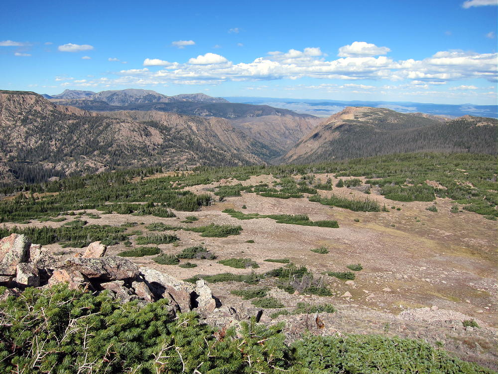
    Peak 11543 sits about 2 miles east of Ethel, but the peaks are on opposite sides of a deep glacial cirque.

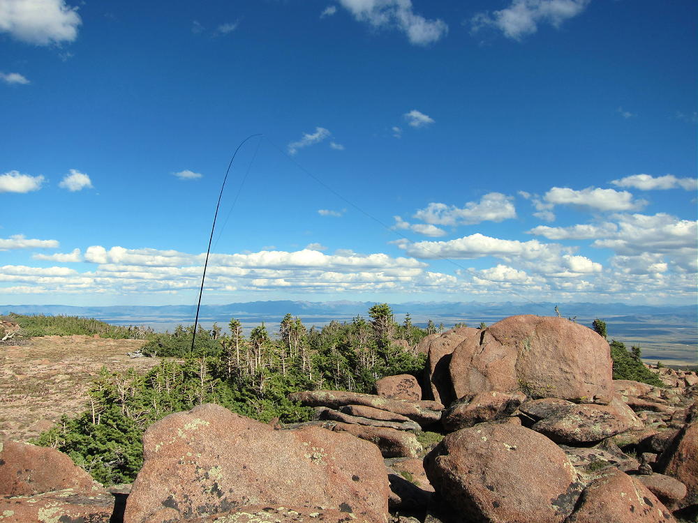
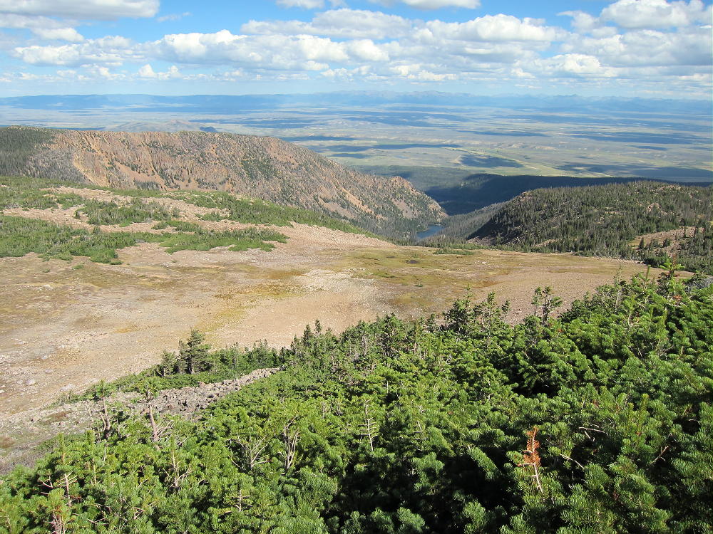
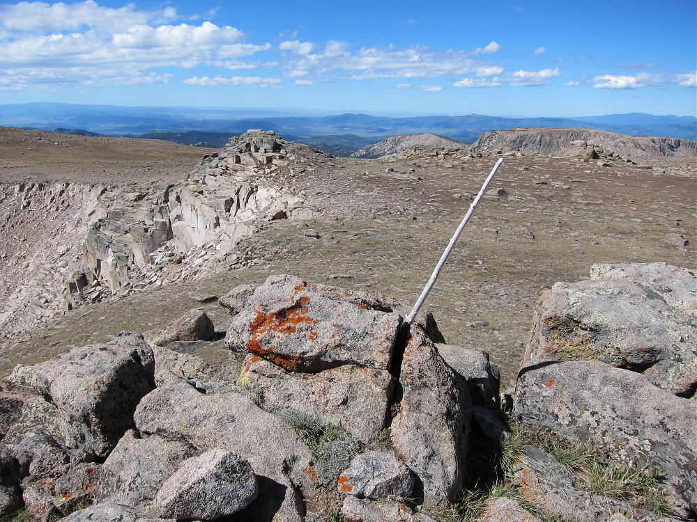
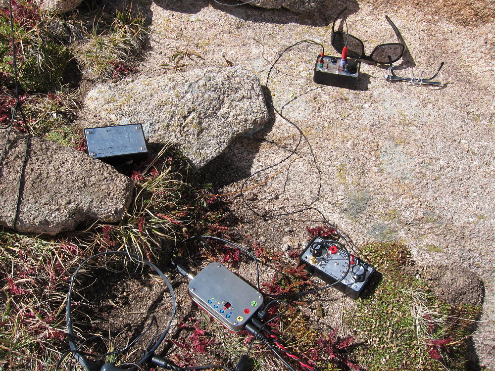
    11543 can be climbed easily as a side trip from Trail 1130 that runs from the Divide to the Slide Lakes and Rainbow Lakes to the east. The summit of 11543 is less than a mile east from Trail 1130. There is a game trail or path up most of the northwest ridge of 11543, and it’s a pleasant ascent. The actual summit of 11543 is the rocky eastern summit, and there are other points up there that differ little in altitude. The broad top of the peak is right at treeline. Small trees and large rocks are available for some shelter from wind. There are several good spots to set up and activate. You’ll do better with an antenna pole.

    Please see the USGS topo map for this area, as Google Maps omit many key trails.

    Note that 11543 looks nice on top, but don’t be fooled into trying to descend by a different route than the NW ridge. There are steep cliffs around the west, south, and east sides of this large mountain.

    It is possible to combine an activation of 11543 with another nearby summit, but this requires an early start, a long day, and good weather.

    George Carey Fuller
    KX0R

    ATTENTION !! WARNING !! There are old mountaineers, and bold mountaineers… there are no old-bold mountaineers. Hiking and mountain climbing are potentially hazardous activities particularly in Colorado with its extreme elevations. I am not accepting responsibility for any death or injury resulting from activations based on my trip reports. Proper training, experience, and personal capability assessment is required – enjoy!
  • WØC/PR-Ø71 (Ethel Mount) – 3627M / 11924 ft

    W0C/PR-071
    Ethel Mount

    3627 M / 11924 ft

    Sep 21, 2013
    by KX0R

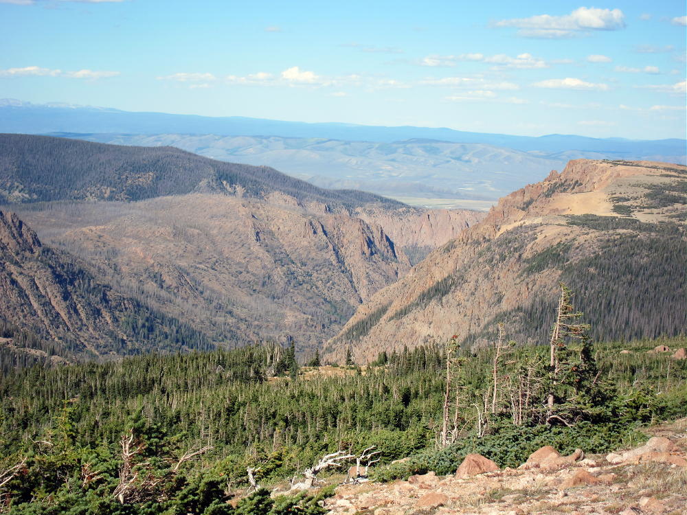
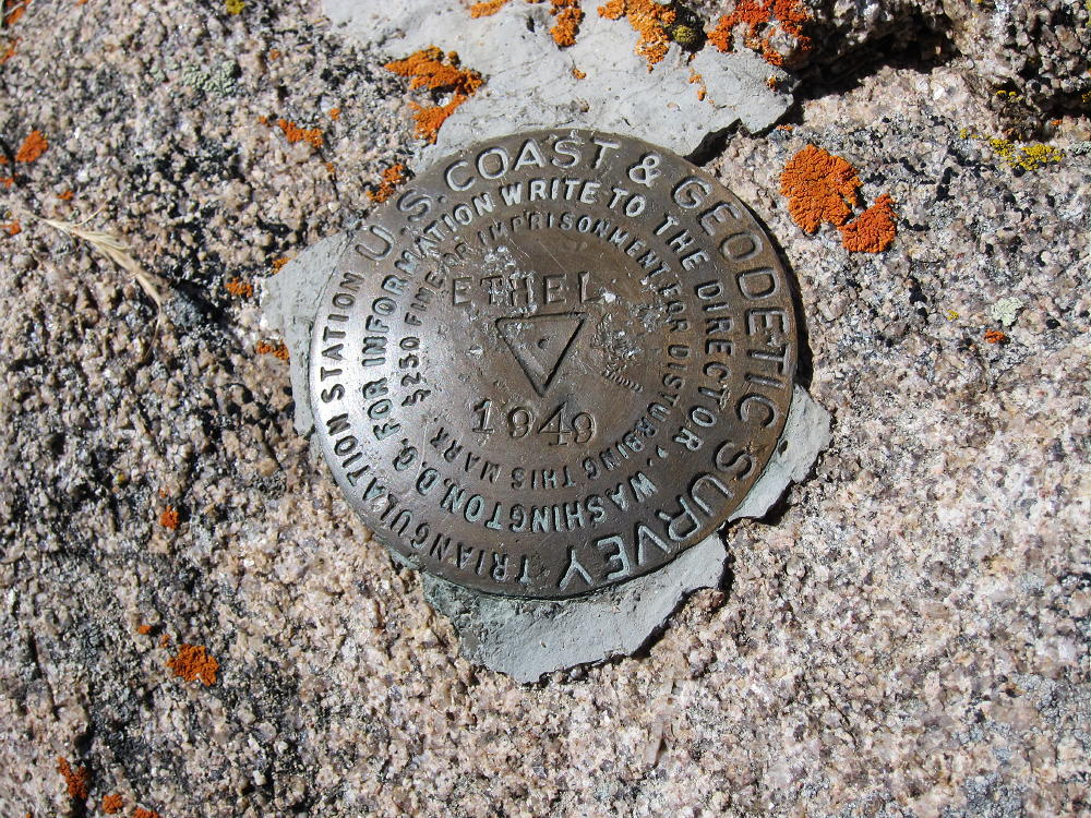
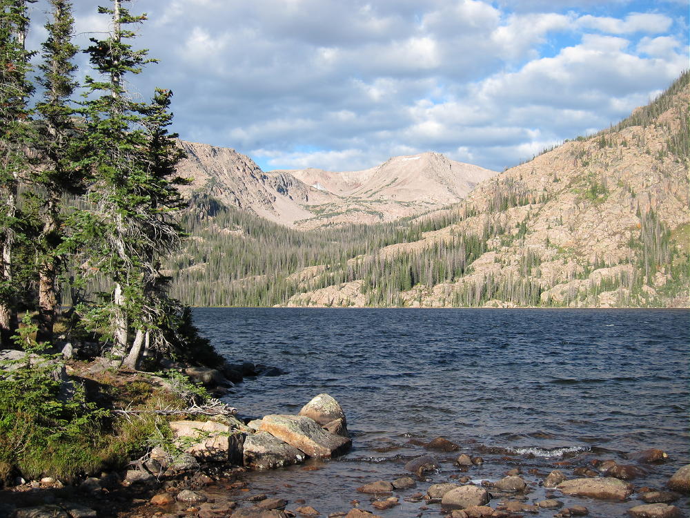
    Mount Ethel sits atop the Continental Divide in the heart of the Mount Zirkel Wilderness in northern Colorado. At 11924’ it is very prominent, and it can be seen from some peaks of the Front Range. Climbing and activating Ethel is best done as part of an overnight backpack trip into the Wilderness. The trip up the peak is just a long hike, but it requires traveling above tree line for hours, with considerable exposure to weather.

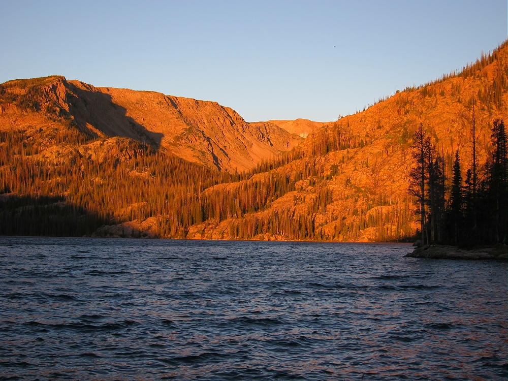
    There are several practical routes up Ethel. I parked at the Rainbow Lakes Trailhead, on the east side of the Park Range, and camped at Big Rainbow Lake. This is an easy backpack trip of about 3-1/2 miles. I climbed Ethel as a day hike from Rainbow Lake, using the fine Trail #1130 that ascends to Slide and Upper Slide Lakes and then climbs up to the Divide. This is a fun, scenic route, and you can see Mount Ethel high above most of the way. At the junction with the trail to Roxy Ann Lake, at about 11,000 feet, I headed off-trail, directly west up to the Divide, via open meadows and gentle rocky slopes. Once on the Divide, I made an approximate beeline south, almost 2 miles, toward the gentle west slope of Ethel; from there I hiked southeast up to the summit. Please see the USGS topo map for this area, as Google Maps omits many key trails and has other serious errors.

    If you prefer to stay on marked trails, just follow Trail 1130 all the way to the Divide, turn south on the Wyoming Trail #1101, follow it to just west of Mount Ethel, and pick a convenient route to the summit.

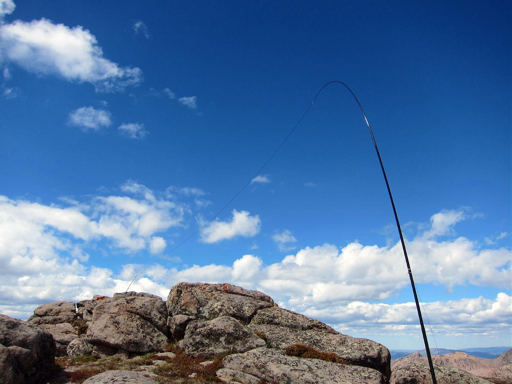
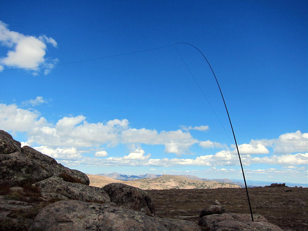
    These routes require several miles of hiking across tundra above treeline. There is no shelter, and this is no place to be in bad weather. The day I was there was dry, sunny, spectacular, and quite windy. People climb Ethel often, as it is a short detour from the “Wyoming Trail” 1101, but you may not see anyone up there. The peak has gentle meadows on the west side, and steep cliffs on its northeast and southeast faces. The summit is on the Continental Divide; the north summit is considered the peak. There is a rocky outcrop at the top, and it provides some shelter from wind. It’s not hard to set up a pole on the east side of the peak, and tie the far end of the wire to the top of the peak. I had a great first activation up there, with 35 Q’s and strong signals on 20M.

    I combined activating Ethel with a first activation of W0/PR-080, 11543, which is east of the Slide Lakes and Trail 1130. This is practical if you have time, but it’s a long day, and it requires an early start. Please see the report for Peak 11543 for the additional route description.

    George Carey Fuller
    KX0R


    ATTENTION !! WARNING !! There are old mountaineers, and bold mountaineers… there are no old-bold mountaineers. Hiking and mountain climbing are potentially hazardous activities particularly in Colorado with its extreme elevations. I am not accepting responsibility for any death or injury resulting from activations based on my trip reports. Proper training, experience, and personal capability assessment is required – enjoy!