W0C/PR-020
Gray Wolf Mountain
4146 m / 13602 ft
Aug 16, 2014
By KX0R
Gray Wolf Mountain is a high alpine summit located about 2-1/2 miles northeast of Mount Evans. On a nice summer day it’s a pleasant retreat into the wilderness, and it’s also a fine SOTA peak.
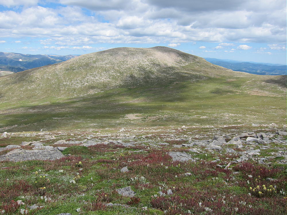
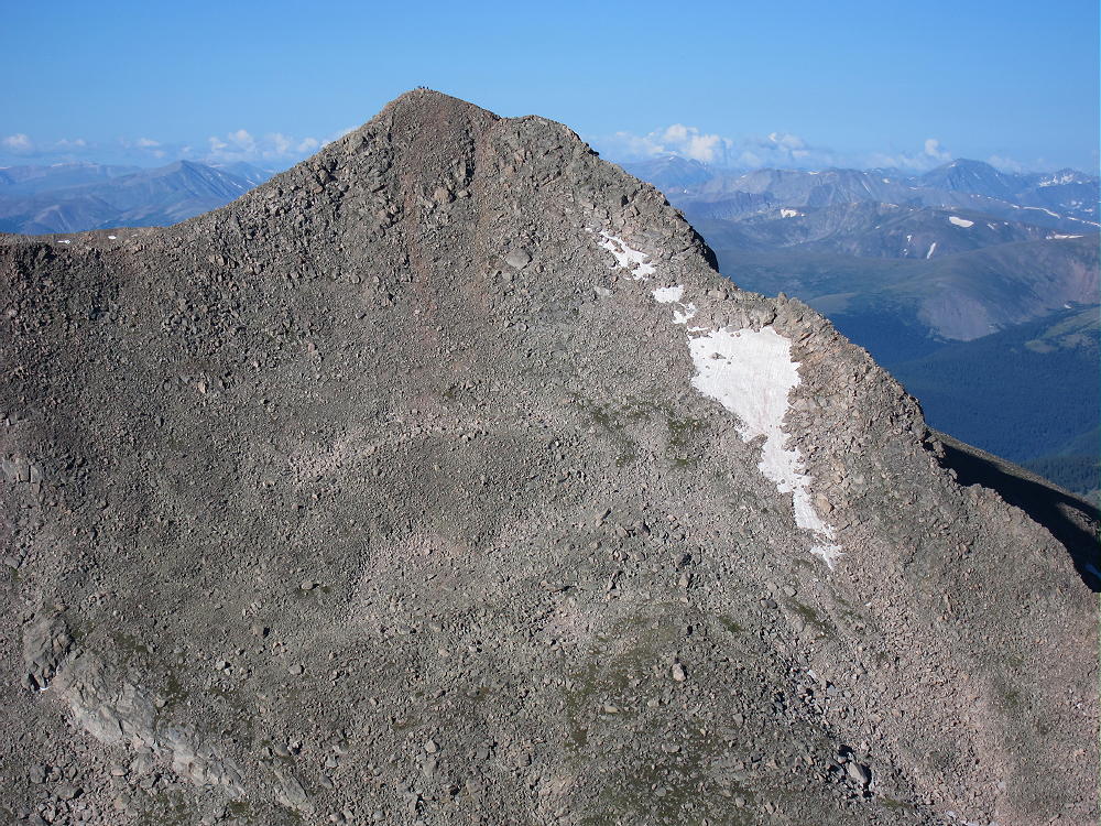
Gray Wolf Mountain from Mount Spalding
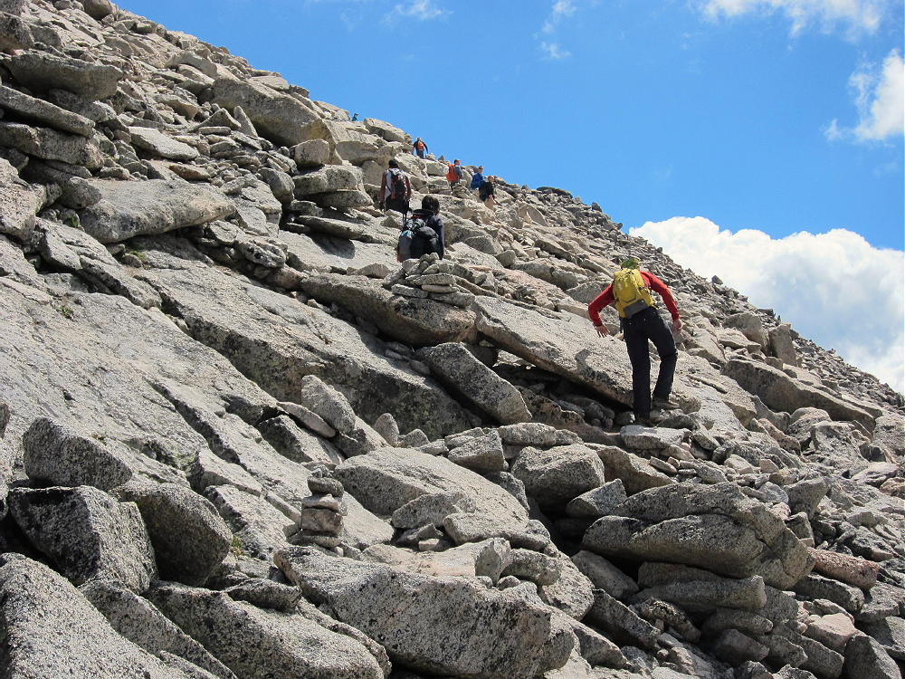
To climb Gray Wolf, first drive up Mount Evans. Traverse the long rocky West Ridge of Evans – a trail leads through the rocks around the south side of this ridge, and it’s heavily used by hikers on nice days. Follow this trail down to the Evans – Spalding saddle.
West Ridge Trail of Mount Evans
Mount Bierstadt from Evans
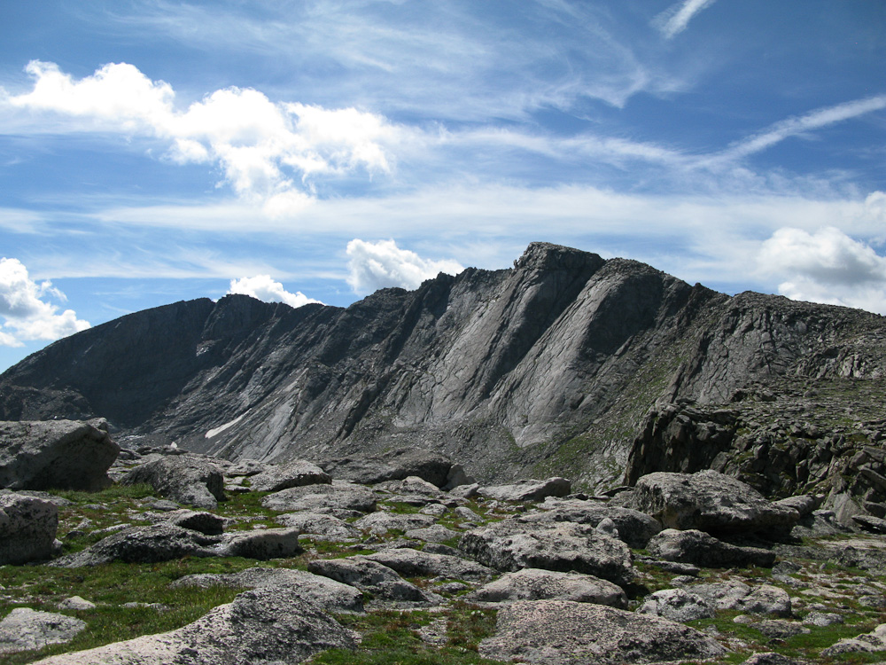
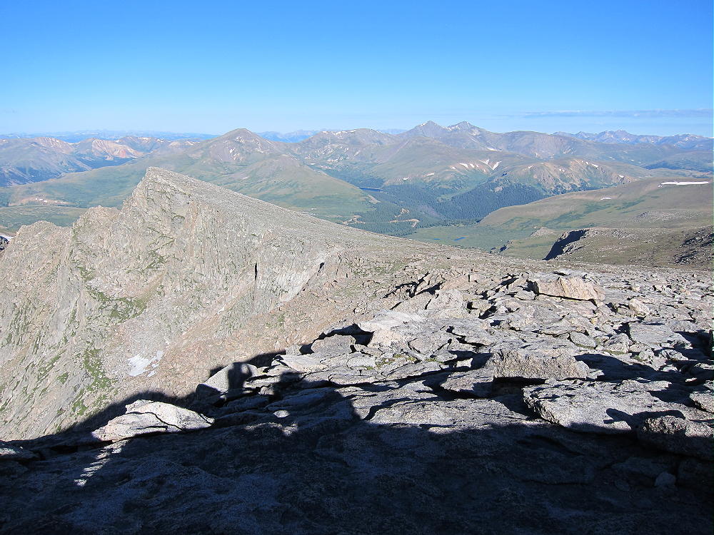
West Ridge Area of Evans
From this saddle you can either follow the trail north over Mount Spalding, or contour around the west side of Spalding. The trail eventually goes down a craggy ridge to Summit Lake, and it’s a popular route for climbing Spalding and Evans.
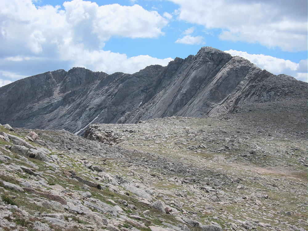
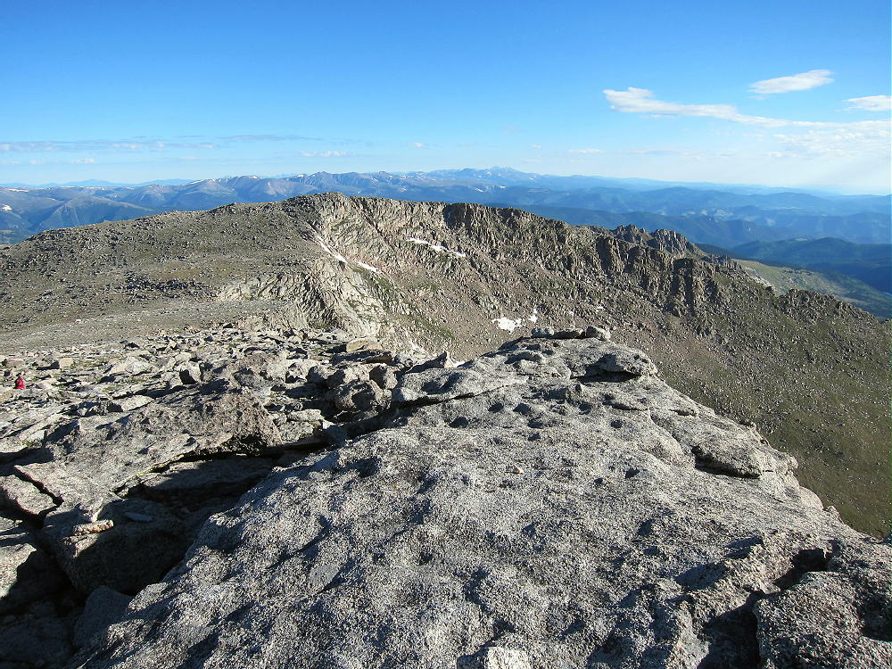
Mount Evans from Spalding Slopes
Leave the trail and descend about 750 vertical feet north to the Spalding – Gray Wolf saddle at about 13030 feet. The broad saddle area is marshy, so try to pick a dry route. From the saddle, hike north across the tundra, and then climb the easy southeast ridge of Gray Wolf.
West of Evans North to Spaulding
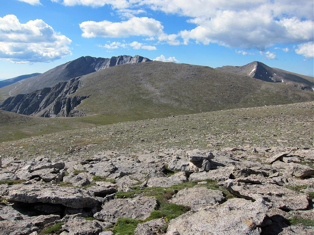
Mount Spalding, Saddle, and Gray Wolf
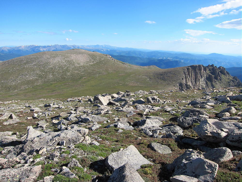
Gray Wolf Looking Back at Spalding and Evans
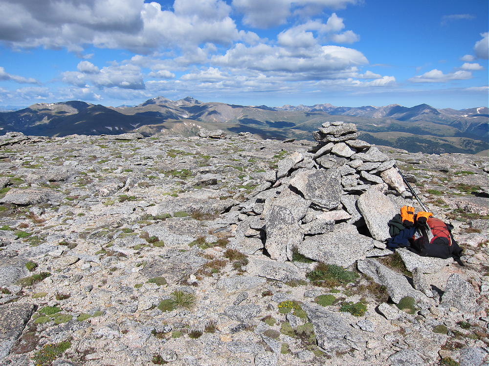
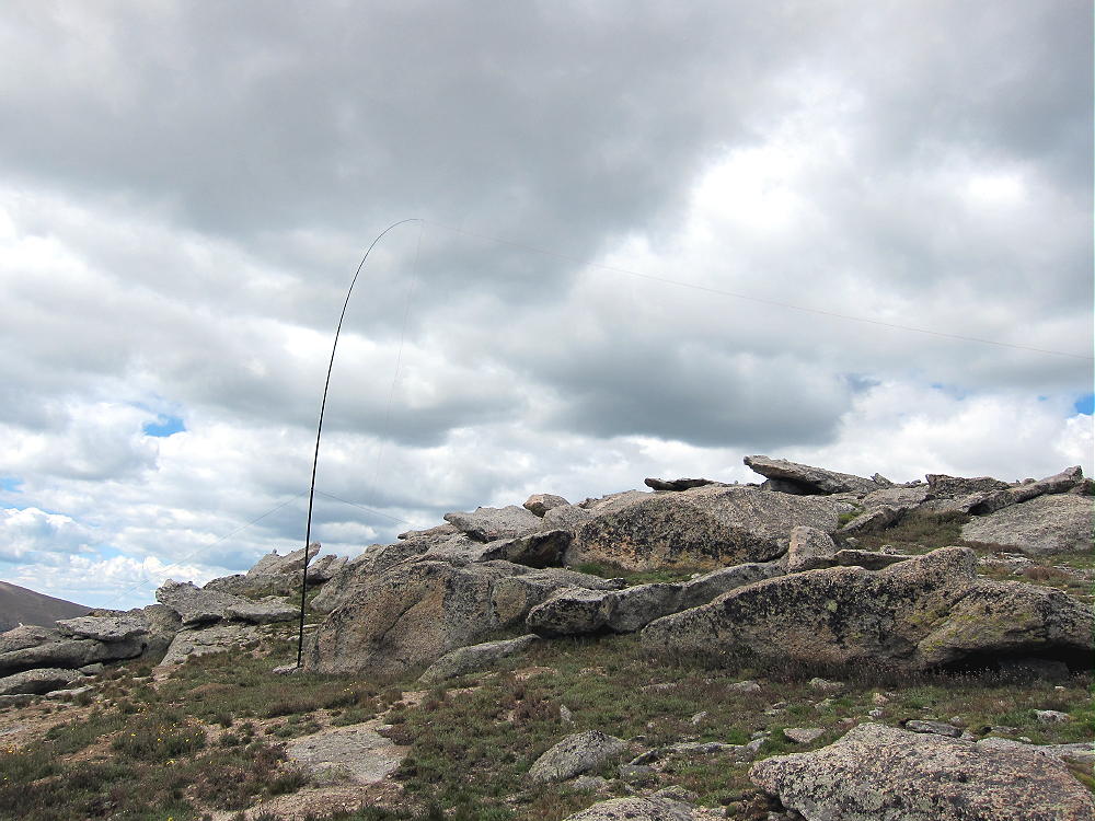
The summit is broad, rocky, and pleasant; the activation zone is large. Rocks southwest of the top provide shelter from the west wind.
Gray Wolf Summit
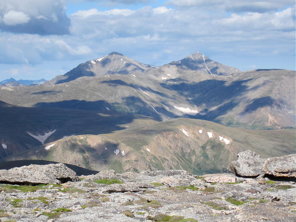
Grays and Torreys from Gray Wolf
Gray Wolf is a great radio site – it’s far from man-made sources of RF noise, and it has an open view across the Denver Area, the Plains, and the mountains. Few people visit this summit.
Gray Wolf Activation
Even though this hike looks like an easy stroll across the tundra, it requires about 6 total miles of hiking. Most of the route is rough trail or off-trail. The total vertical ascent is about 2000 feet, and the entire trip is above 13,000 feet. Pick a good day for this interesting activation, and start early!
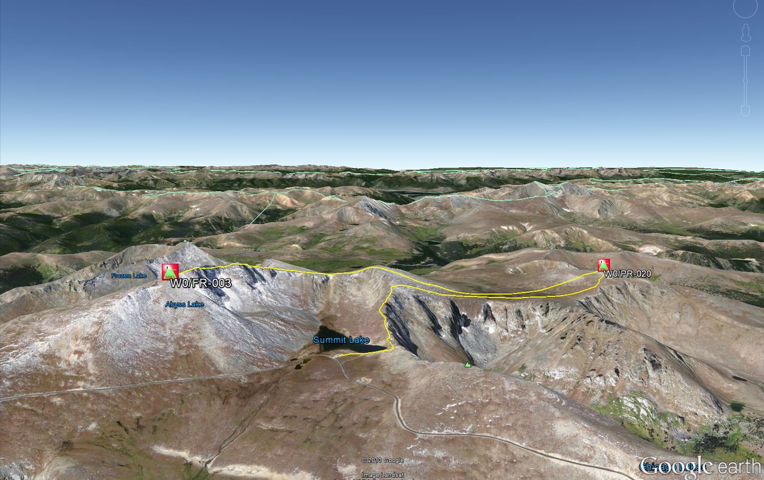
It looks like the route to Gray Wolf can be shortened by starting at Summit Lake. Hike up the ridge trail northwest of the Lake, climb to the north slope of Spalding, and then leave the trail and head north to Gray Wolf. The total hiking distance is reduced, but the total vertical ascent is still about 2000 vertical feet. I have not climbed up the ridge above Summit Lake, but it looks like an efficient route.
73
George Carey Fuller
KX0R
!! WARNING !! There are old mountaineers, and
bold mountaineers… there are no old-bold mountaineers.
Hiking and mountain climbing are potentially hazardous activities particularly in Colorado with its extreme elevations. I am not accepting responsibility for any death or injury resulting from activations based on my trip reports. Proper training, experience, and personal capability assessment is required – enjoy!
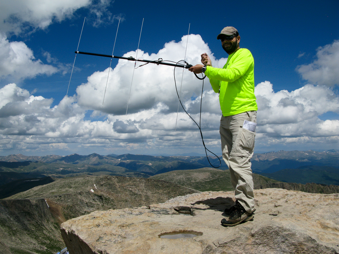
I had been planning all along to participate in the CO-14er Event this year. This event is organized by Bob/KØNR, for Portable Mountaintop Operation on the 54 official 14er summits (Summits higher than 4267m) in Colorado. It was however uncertain until late Friday whether I would actually be able to do so. Since it is mainly a VHF/UHF event, I home-brewed a lightweight 4-element Yagi-Uda for 2m – you can read more about it in a separate blog entry.
I selected Mount Evans as a target since it is ‘only’ a 2.5h drive from my home QTH and it has several other SOTA peaks nearby… a good chance to bag more than one summit.
The Plan:
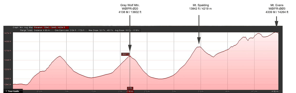
I planned an early morning (8:30 MST) SOTA activation of nearby Gray Wolf Mtn. (4138 m/13602 ft), hoping to be on the air by 11:00 MST on Mt Evans (4339 M / 14264 ft) via Mt. Spalding (13842 ft / 4219 m). A total of 5 miles (8 km) and 3100 ft (945 m) ASL.
The route I took
I drove up to Summit Lake in the Mt. Evans Wilderness to start my hike. I left my car at 6:30 MST under blue skies but with a fierce and chilly wind. Wool hat and gloves felt nice.
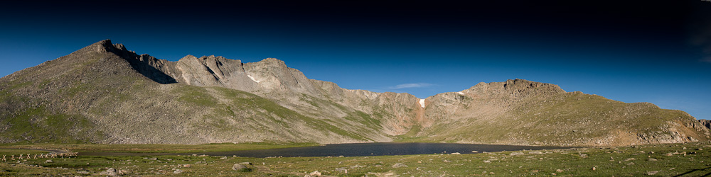
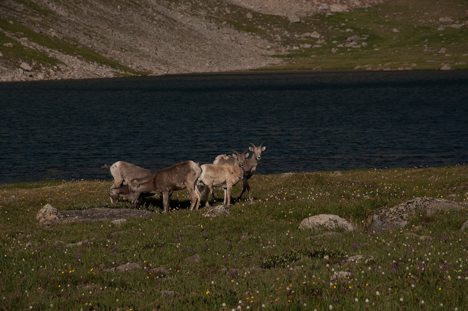
Summit Lake AreaBighorns at the lake
There were only a few cars at the parking lot and a small herd of Bighorns observed my last preparations. I set my HT to 146.52 and 147.42 (Co-14er event primary frequency) hoping to catch any early 14er activators on my hike up. I moved quickly to warm up and passed only one group of hikers in front of me. The initial steep ascent towards Mt. Spalding had the desired effect and I could remove one layer of clothing under heavy breathing. I talked to two stations near Denver on 146.52 who were already aware of the event going on before I moved on.
Elevation Profile
I joined another hiker from Boulder who was also heading towards Gray Wolf Mountain. We continued our hike through the ‘wetlands‘ between Spalding and Gray Wolf. It’s a delicate endeavor to cross the fragile alpine tundra under any circumstances but with the wet area in front of us we had to pick our route carefully to keep our feet dry and our impact to a minimum. The remaining route is pretty straight forward, a steep and rocky final ascent and and we reached the summit at 8:30 MST as planned.
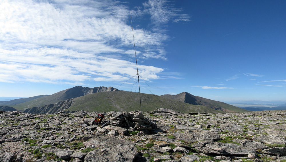
My shack on Gray Wolf – Mt. Spalding (center) / Mt. Evans (left) and Mt. Bierstadt (right) in the background
Just as I was setting up my HF antenna I heard W1DMH/Doug (a SOTA Mountain goat) calling CQ on 2m from Mt. Bierstadt – just ~2.5 miles S of me. My first S2S contact in the log :)
Thanks to decent propagation conditions, 20m contacts were easy to make and my log filled-up fast. I was just done with packing up my gear to continue towards Mt. Spalding, when I heard NM5S/Alan and WSØTA/Fred on 2m. These accomplished SOTA Mountain goats are normally not heard on voice frequencies – two more S2S contacts in the log and my first on the air contacts with Alan and Fred.
Mt Evans as seen from Mt. Spalding
I was now 30 minutes behind my schedule and started to head down the mountain towards the ‘wet lands‘ again. For quite a while now, I had been hearing a dog barking towards the east of me. That’s well off the beaten path of Mt. Evans and I was wondering what was going on. The continuous barking was frantic at times so I finally decided to investigate and check what was going on… perhaps a runaway dog ? Hiker with dog in distress? It turned out to be nothing like that at all, just some morons climbers who decided to tie their dogs to a rock and go rock-climbing – it was not appreciated by the dogs at all.
Now I was really behind schedule and I rushed up Mt. Spalding, hoping to make good on some of the lost time. From Mt. Spalding I talked to KCØRPS on Quandray Peak and WE7C on Mt. Bierstadt. Coming up to the ridge-line to Mt. Evans, I could copy NØBCB/Bryan on Castle Peak (another 14er). Since I wanted a S2S contact I pressed on to the summit, not realizing that Bryan was already in process of packing up for the day.
I reached the summit of Mt. Evans at 11:35 MST and had my first contact at 11:37 MST with KDØWBB/Scott, a young ham in Loveland on 2m, using my new homebrew Yagi-Uda antenna.
On Mount Evans 4339 m/14264 ft – WØC/FR-ØØ3
My log from Mt. Evans:
[table id=2 /]
At this time, most of the other 14er activators had already left the summit or they were packing up their gear. It was now past noon and rain clouds were moving in. With the strong monsoon season this year we are currently blessed with daily rain showers and thunderstorms (at least in northern Colorado).
I was in a comfortable position… with a road going all the way to the summit I was planning to hitch a ride back to Summit Lake where my car was parked in case of rain/thunderstorm. A friendly couple from Cincinnati gave me a ride. Shortly after reaching the car… the rain started :)
My final word: Mt. Evans is very crowded thanks to the road going all the way to the top. Barking dogs, crying babies and screaming people (out of excitement) made it sometimes hard to copy the signals. Even though I was sitting at the very edge of the summit, I constantly had to be careful not to poke somebody in the eye with my antenna. Putting down the Yagi is also a bad idea… it might get crushed. That’s why I opted not to setup my HF antenna. If you decide to activate Mt. Evans, go early in the morning and if you are lucky, you might have the summit all to your self.
Feel free to leave questions and/or comments below.
73, Matt/KØMOS
!! WARNING !! There are old mountaineers, and
bold mountaineers… there are no old-bold mountaineers.
Hiking and mountain climbing are potentially hazardous activities particularly in Colorado with its extreme elevations. I am not accepting responsibility for any death or injury resulting from activations based on my trip reports. Proper training, experience, and personal capability assessment is required – enjoy!
 !! WARNING !! There are old mountaineers, and
bold mountaineers… there are no old-bold mountaineers.
Hiking and mountain climbing are potentially hazardous activities particularly in Colorado with its extreme elevations. I am not accepting responsibility for any death or injury resulting from activations based on my trip reports. Proper training, experience, and personal capability assessment is required – enjoy!
!! WARNING !! There are old mountaineers, and
bold mountaineers… there are no old-bold mountaineers.
Hiking and mountain climbing are potentially hazardous activities particularly in Colorado with its extreme elevations. I am not accepting responsibility for any death or injury resulting from activations based on my trip reports. Proper training, experience, and personal capability assessment is required – enjoy!