I just wrapped up a trip in Europe and I could not resist to activate a few summits while I had the chance. Staying in Austria (OE), I was able to activate two nearby and new (for me) associations (HBØ and HB). I also took the opportunity to make a second attempt on HBØ/LI-ØØ4 – Augstenberg. This summit eluded me last year due to extreme winds in excess of 100 km/h (60 mph). We had to turn around shortly before reaching the summit. This time the WX forecast looked more promising.
As usual, Herbert/OE9HRV organized the activations when I visit his neck of the woods. Arno/OE9AMJ and Ramon/OE9CSH joined the activation and what these guys had in store for me was quite a trip. Weather and time permitting they were planning to continue on a loop with the possibility to activate three more summits for a total of four. The best part… HBØ/LI-ØØ2 or Naafkopf was one of them. This unique SOTA summit is a rare gem. The border of three countries, Lichtenstein (HBØ), Switzerland (HB) and Austria (OE) meet exactly at the summit and it is therefore worth 30 SOTA points in total. I am not aware of any other SOTA summit which has a similar setting.
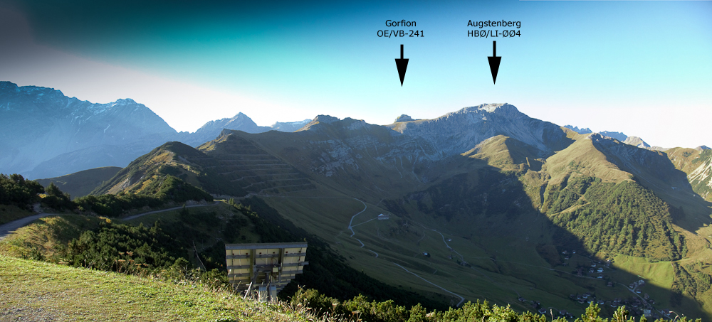
The complete trip could potentially rake in a total of 58 points on a ~20 km (12.5 mi) loop with 1700+ m (~5600 ft) elevation gain including two new associations for my log. Needless to say that I was motivated :)
This trip report is focused on the Naafkopf only.
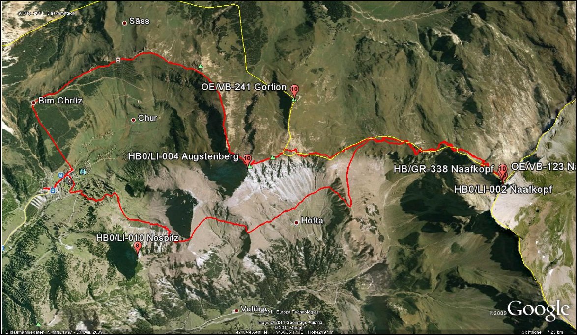
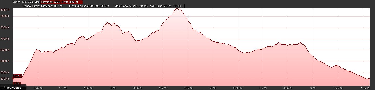
 Trailhead:  5243 ft / 1598 m
 Summit:     7740 ft / 2359 m (Augstenberg)
             8432 ft / 2570 m (Naafkopf)
             6860 ft / 2091 m (Nospitz)
 Elev. gain: 4832 ft / 1473 m (exludes gondola - hiking only)
 Roundtrip:  10.2 mi / 16.4 km(exludes gondola - hiking only)
Compare this summit with my other activated summits
How to get there:
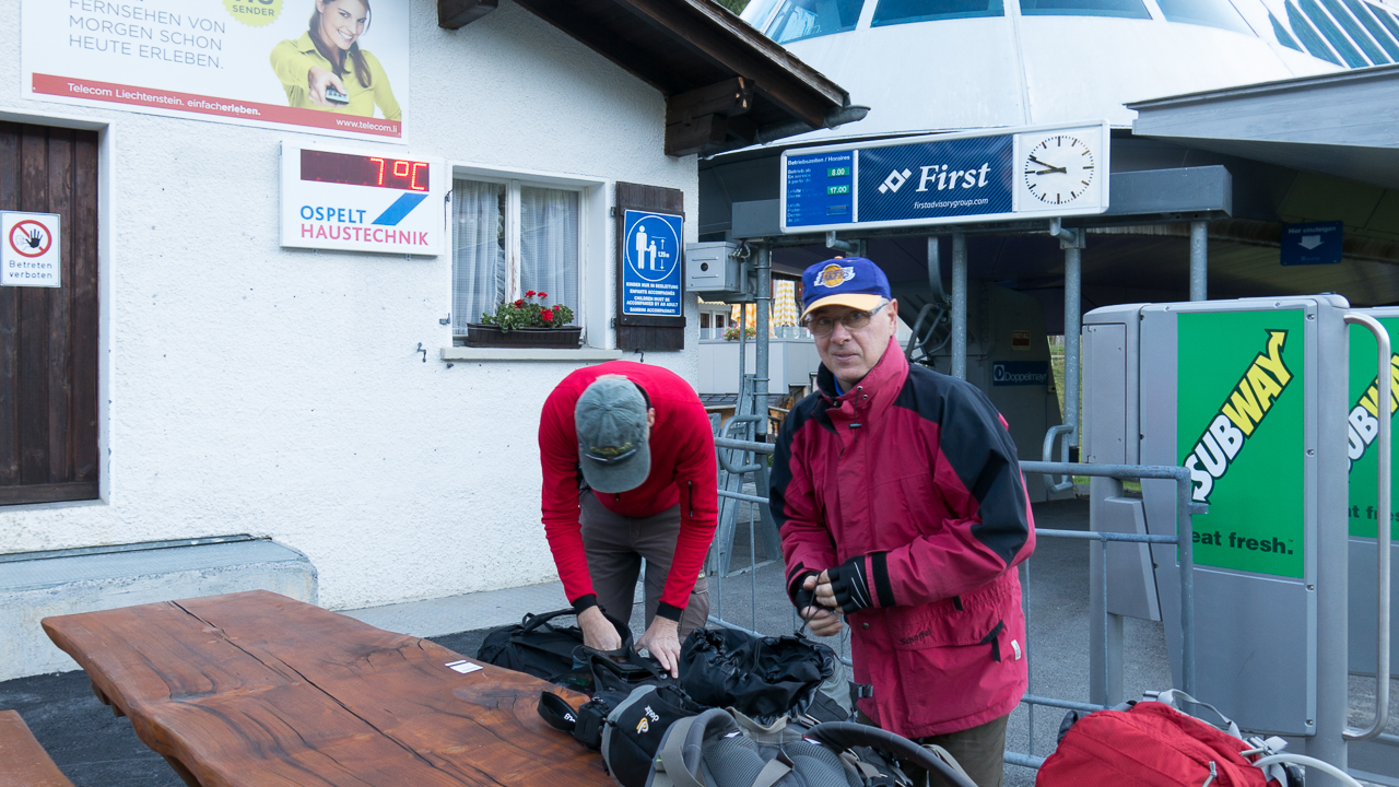
We headed south from OE towards the Principality of Liechtenstein (or Liechtenstein for short.) Liechtenstein is a rather small independent country near the Lake of Constance and shares the border with Switzerland and Austria. With an area of just over 160 square kilometers (62 sq mi), it has a population of ~35’000 and a total of eleven SOTA summits – all of them already activated. We started our hike in Malbun, the only ski resort in Lichtenstein.
Parking/Trailhead
Larger Map
Red Tape:
Nothing comes to mind.
The Ascent:
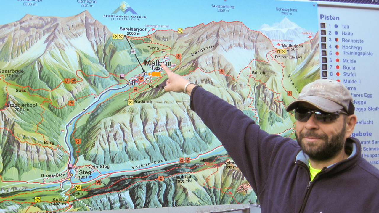
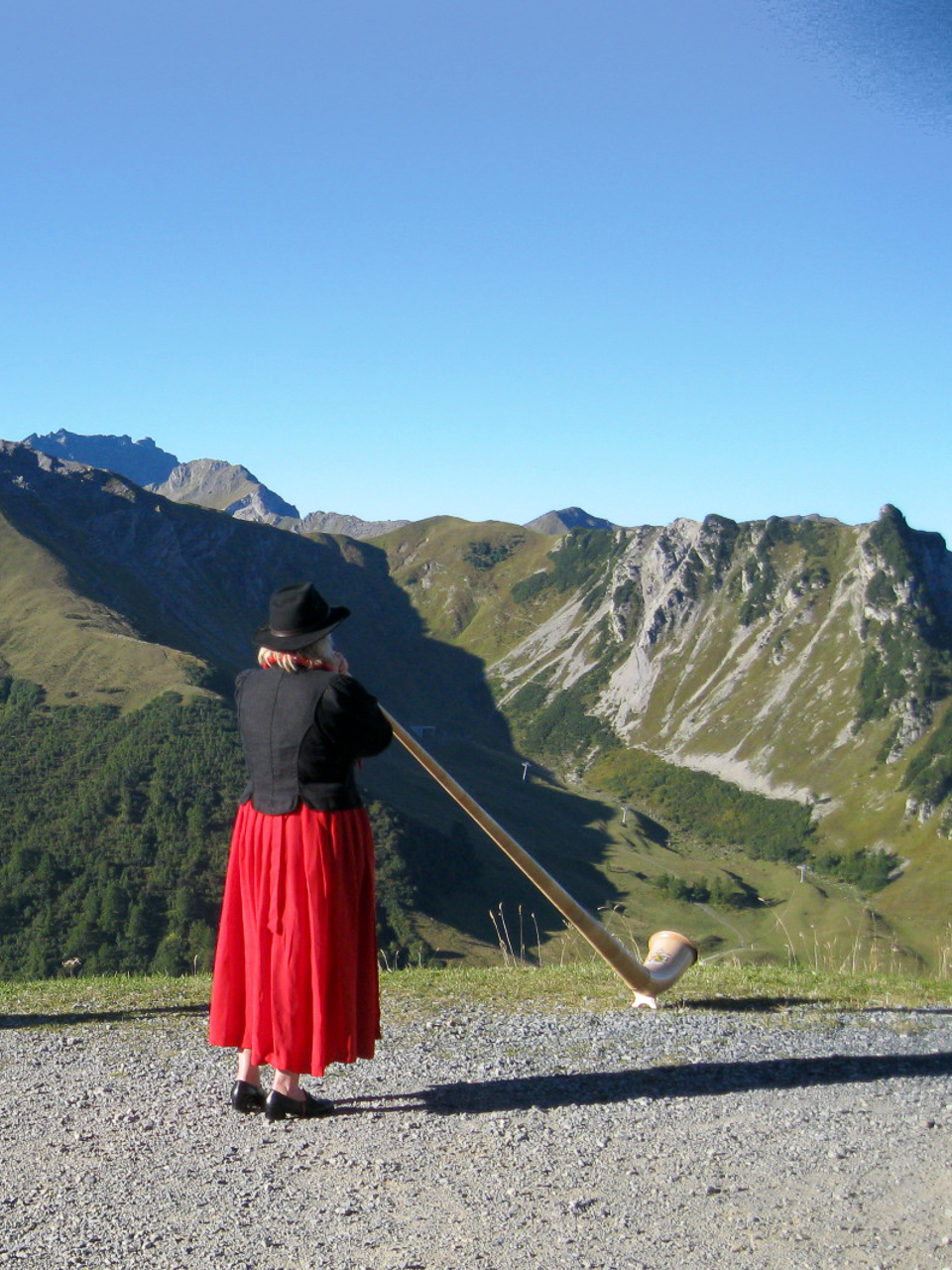
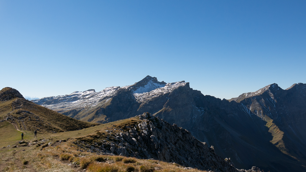
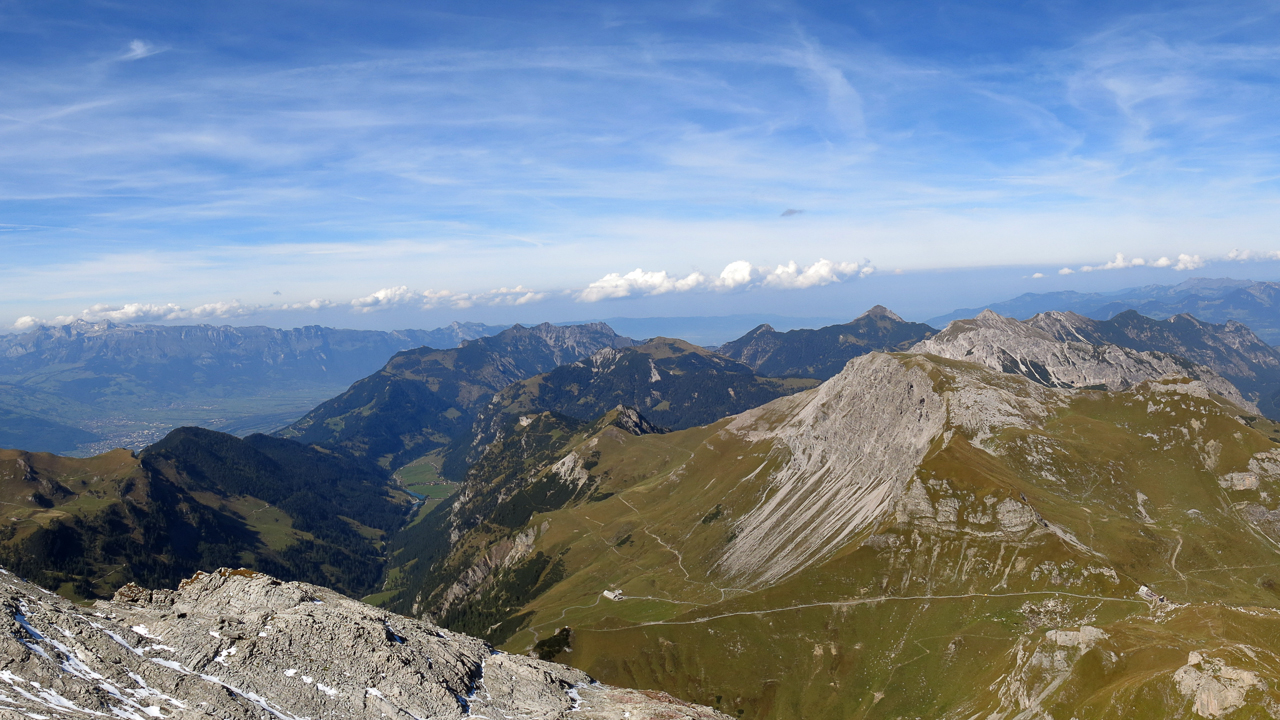
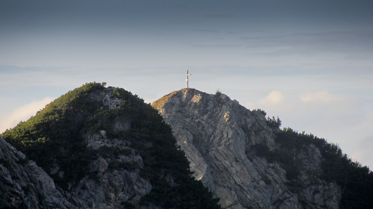
From Malbun we took the gondola from 5274 ft (1608 m) to the Sareiserjoch at 6526 ft (1990 m). At the top we were greeted by an Alphorn player – a nice touch to start our day – and we could hear her tunes for quite a while across the valley. The first ~2.5 mi (4 km) follows a trail to the Chalbergrad and continues along a very pronounced ridge towards our first summit. Great views in both directions of the ridge. The last 0.4 mile (0.6 km) before HBØ/LI-ØØ4 – Augstenberg, are kind of steep. The summit is a rocky outcropping on a rather large, sloped and green summit. The obligatory cross at the summit served as a backdrop for our first SOTA summit photo of the day.
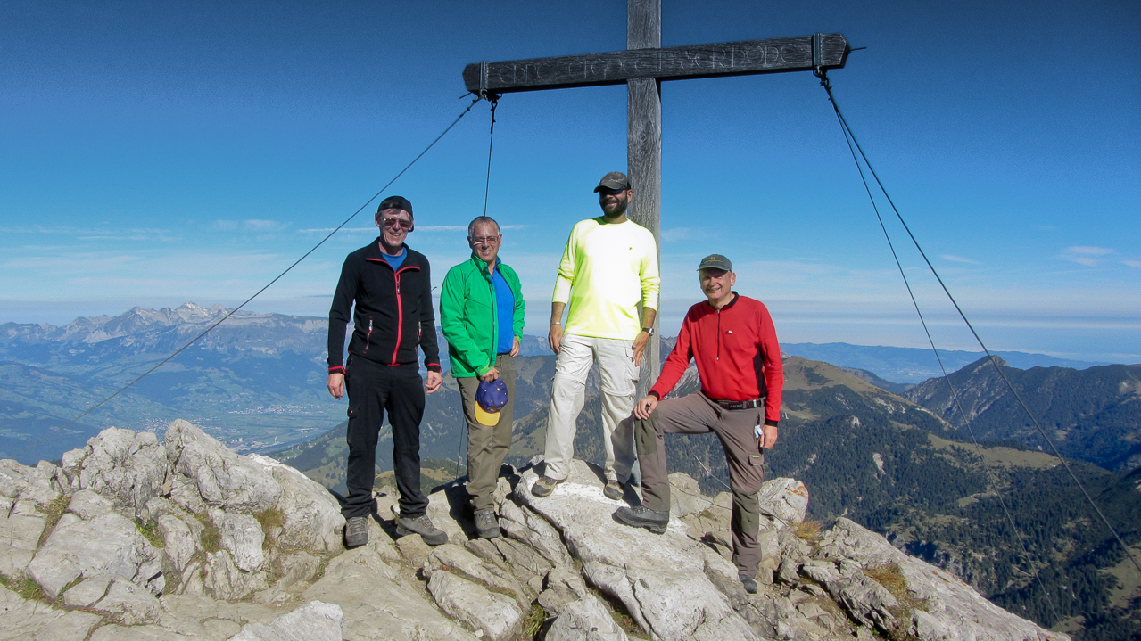
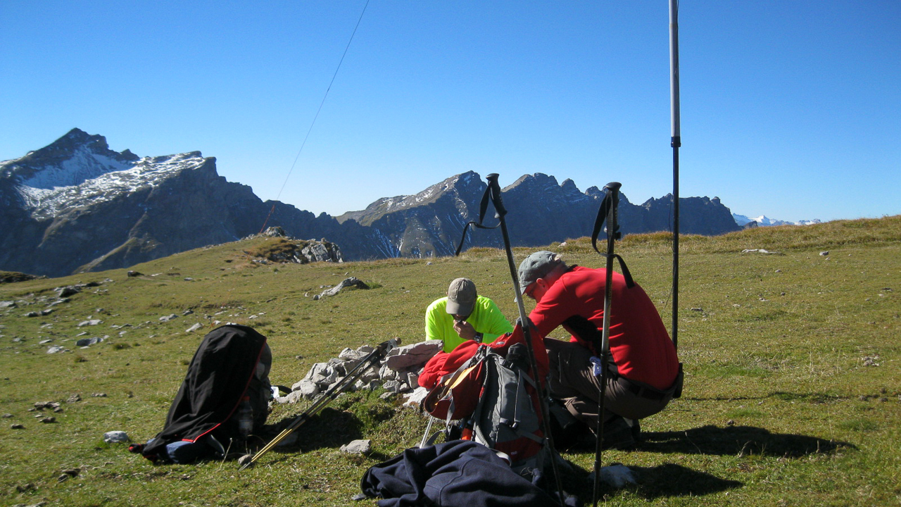
On the summit we setup two stations, a CW station for Arno/OE9AMJ and an SSB station for the rest of us. No problem to activate a summit on 40m in Europe :)
Within 40 minutes we all had our contacts logged and were on our way to the grand prize of the day. Reluctantly we decided to skip Gorfion (OE/VB-241) to allow plenty of operation time on the Naafkopf. In retrospect a wise decision, considering that we reached the car just as the sun went down.
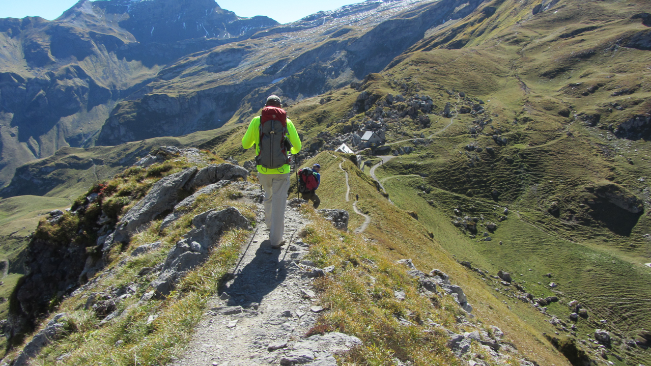
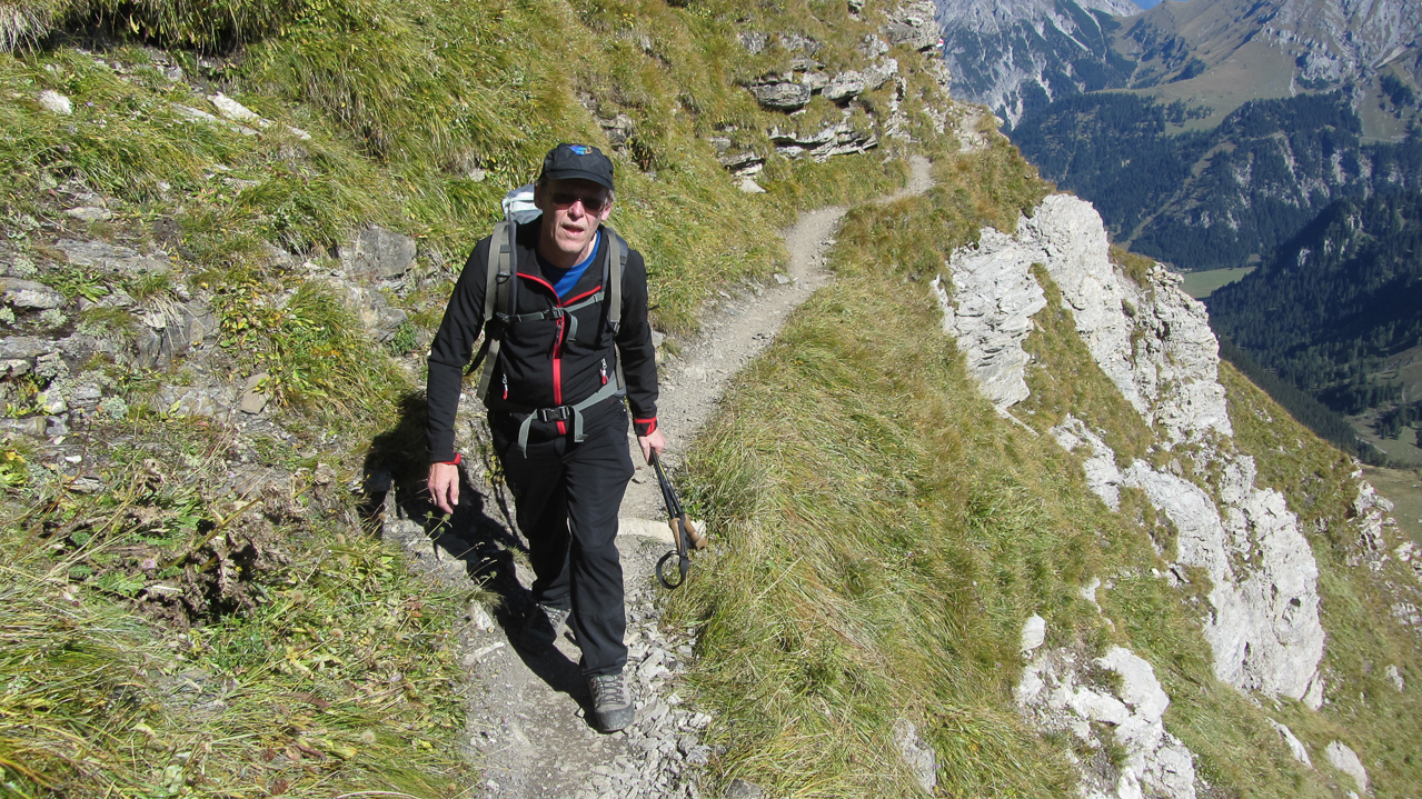
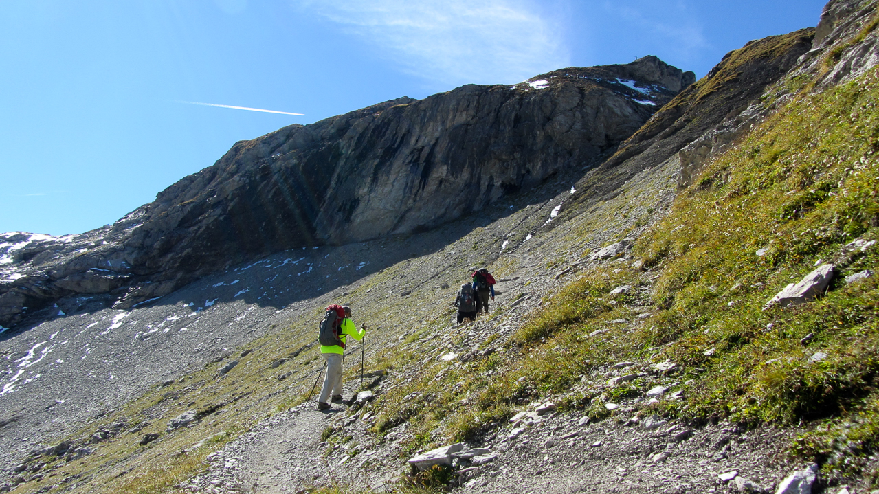
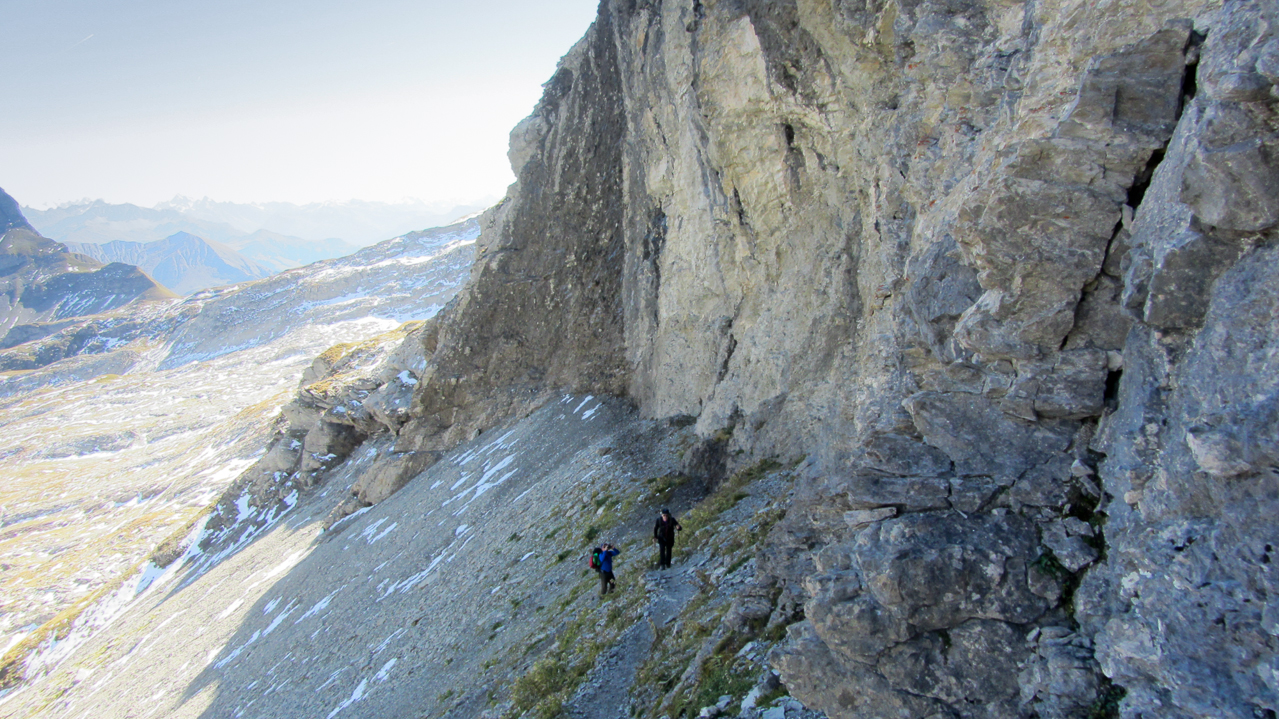
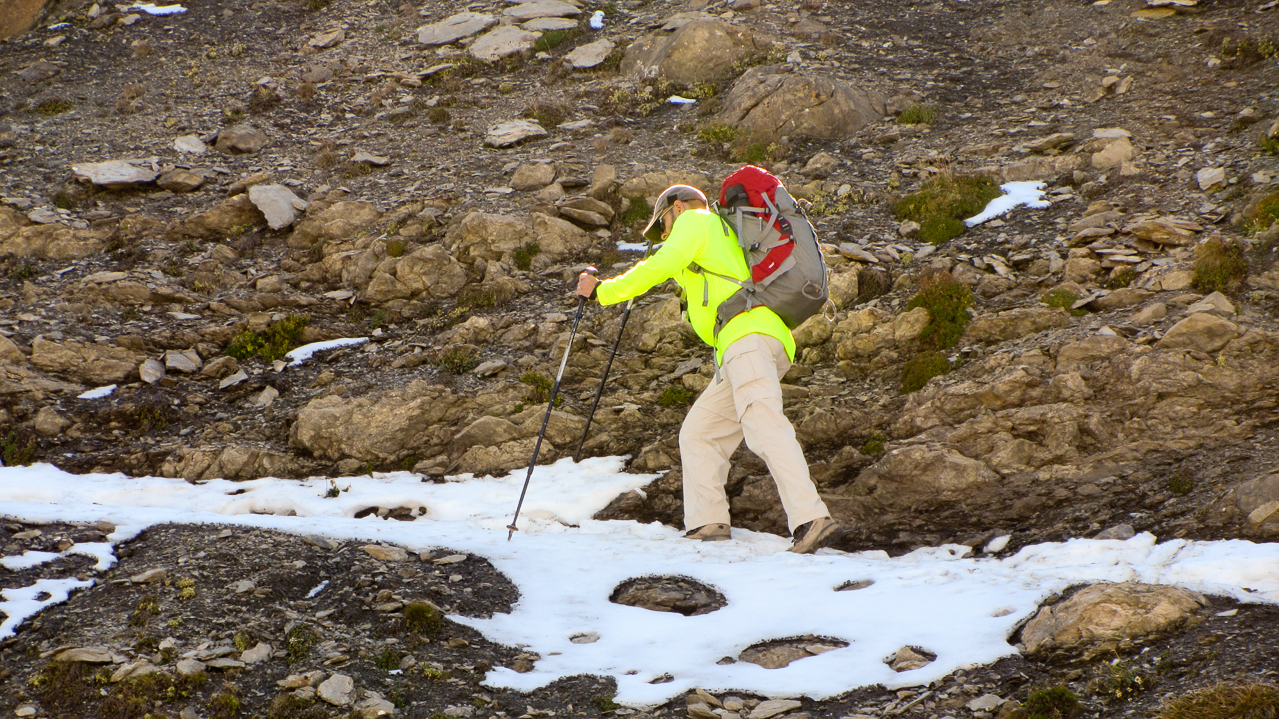
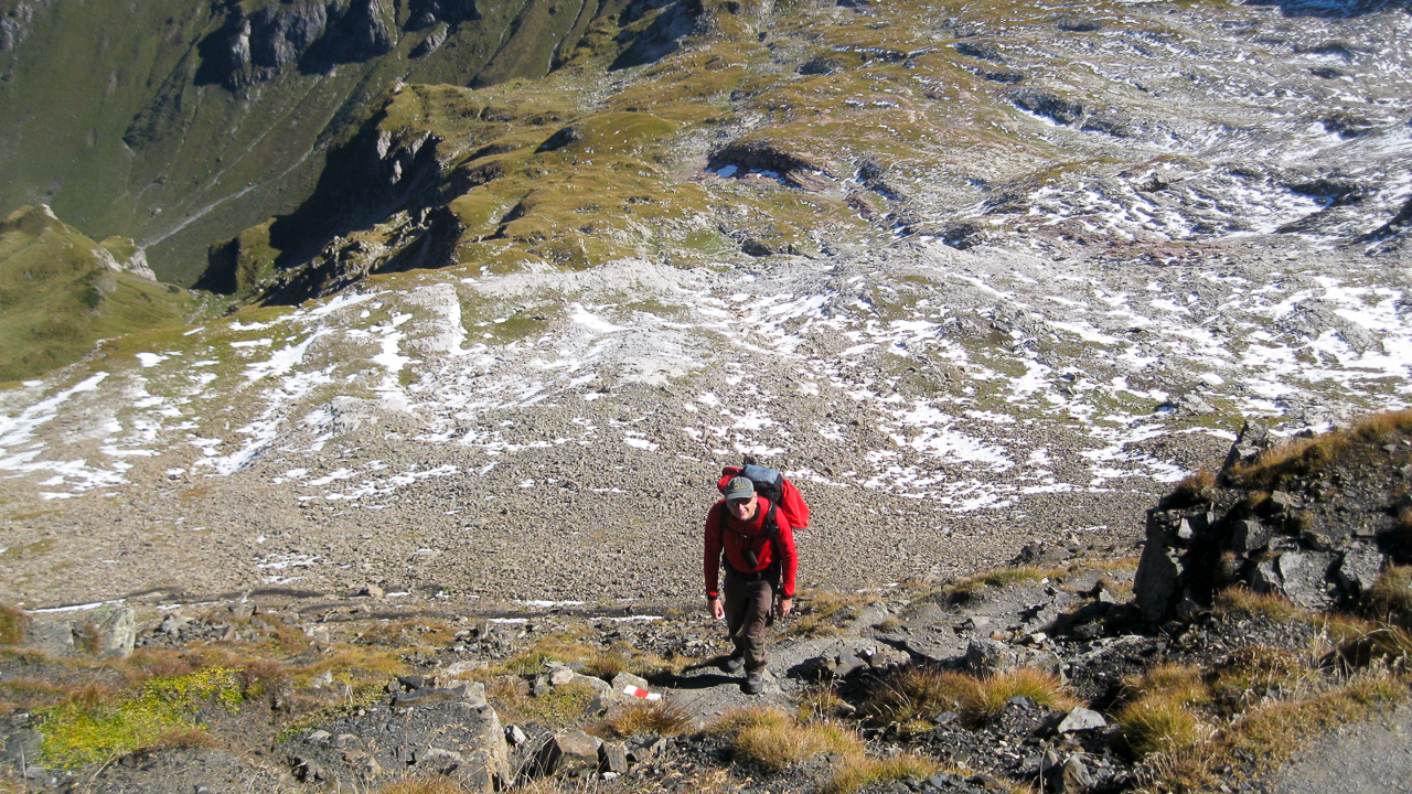
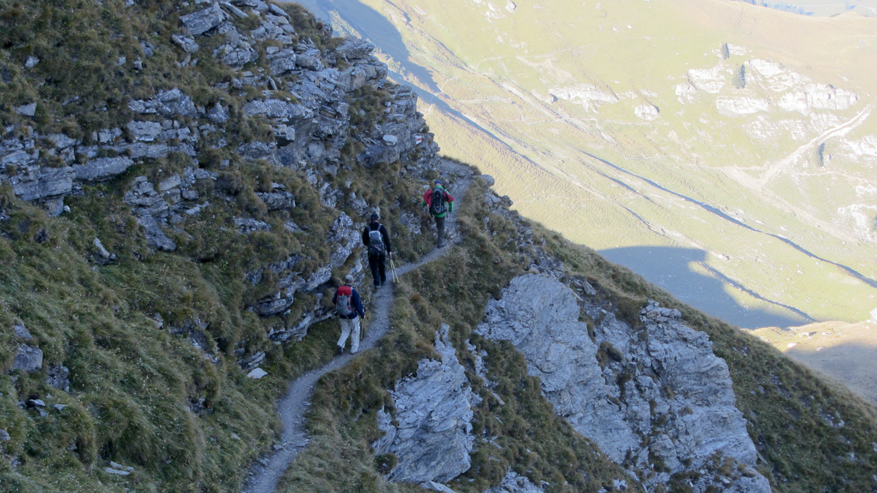
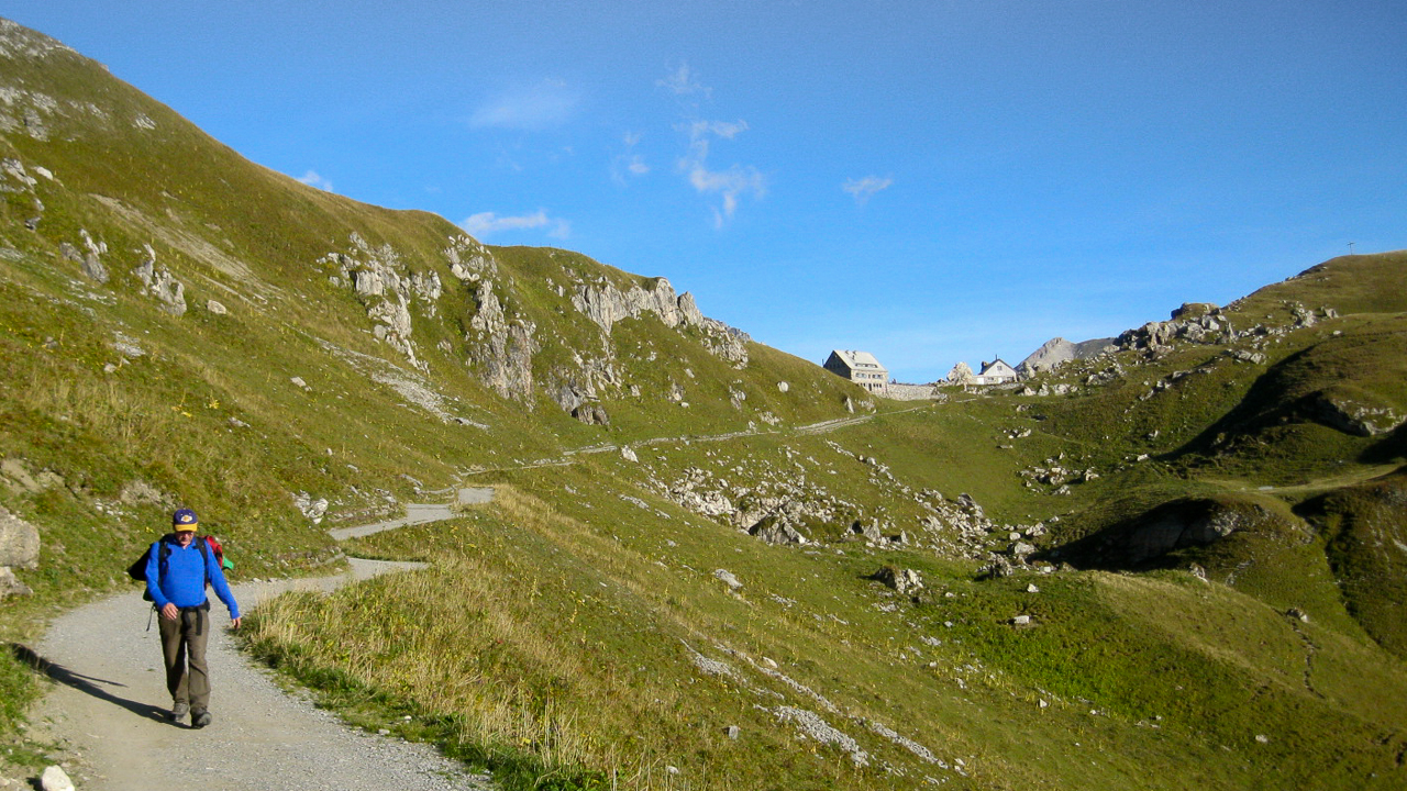
From the summit of Augstenberg (2359 m/7740 ft) we had to descend to the saddle, where the Pfälzerhütte is located at 2108 m/6916ft. A great location for having a beer, assuming you have the time… we decided to continue on to the next summit – a 462 m/1516 ft ascent over 1.8 km/1.1 mi. There is still a well defined trail up the steep slope and only one ‘critical’ spot we had to navigate. Some lingering snow from last weeks nasty weather in combination with the steep terrain slowed us down just a bit about halfway up to the summit. After that it was smooth sailing.
The Summit:
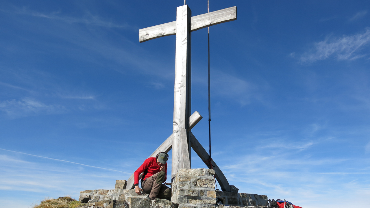
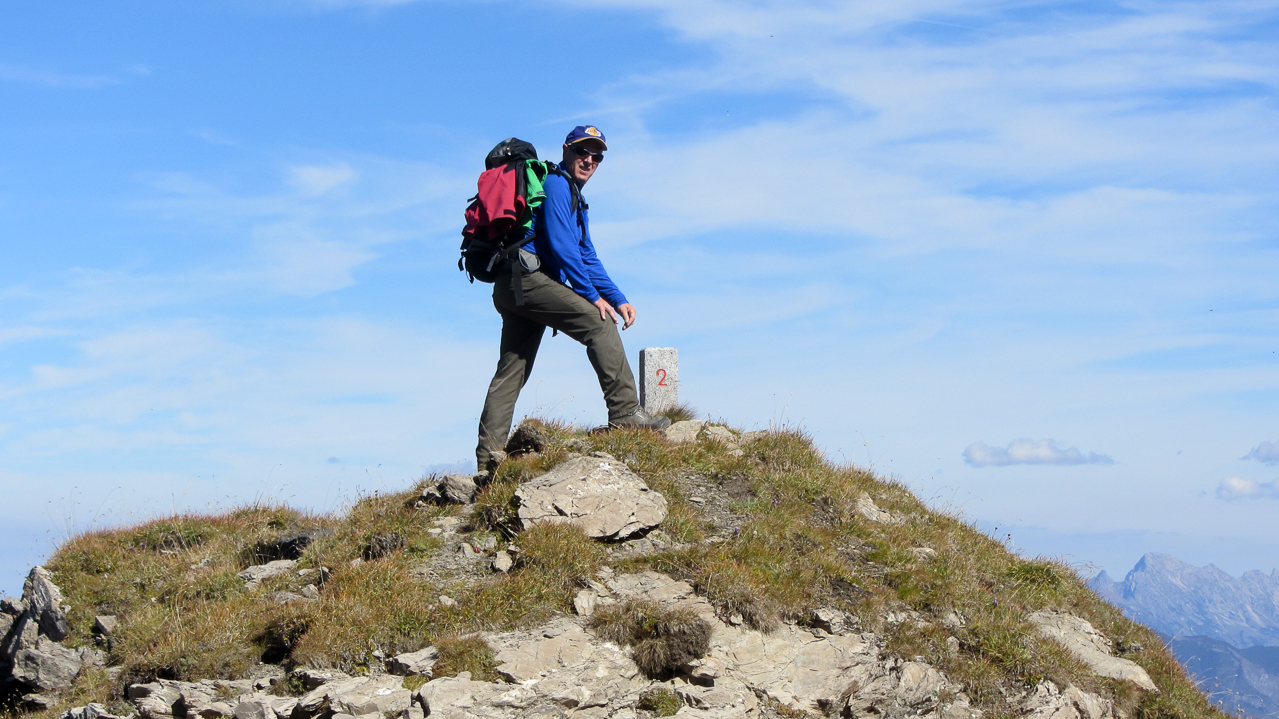
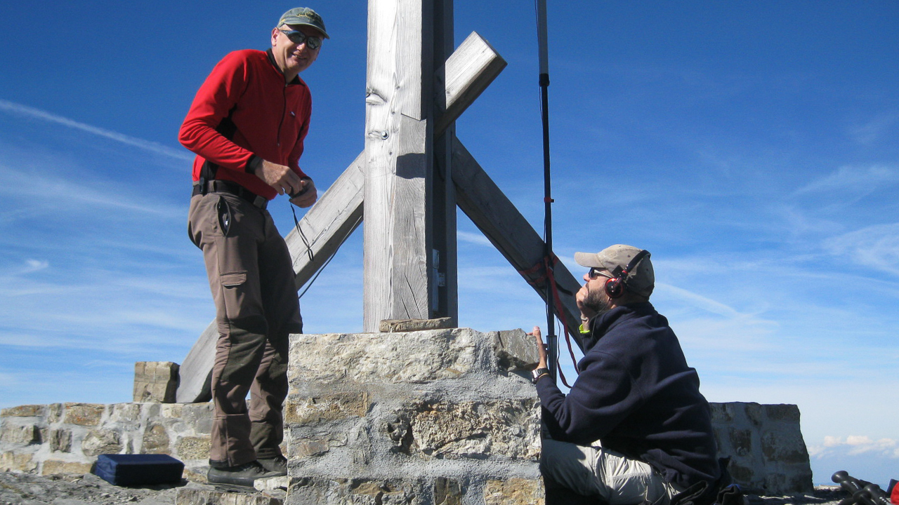
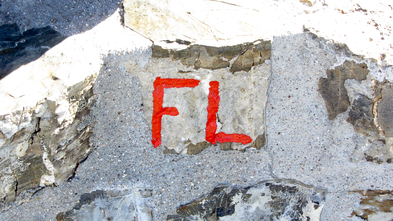
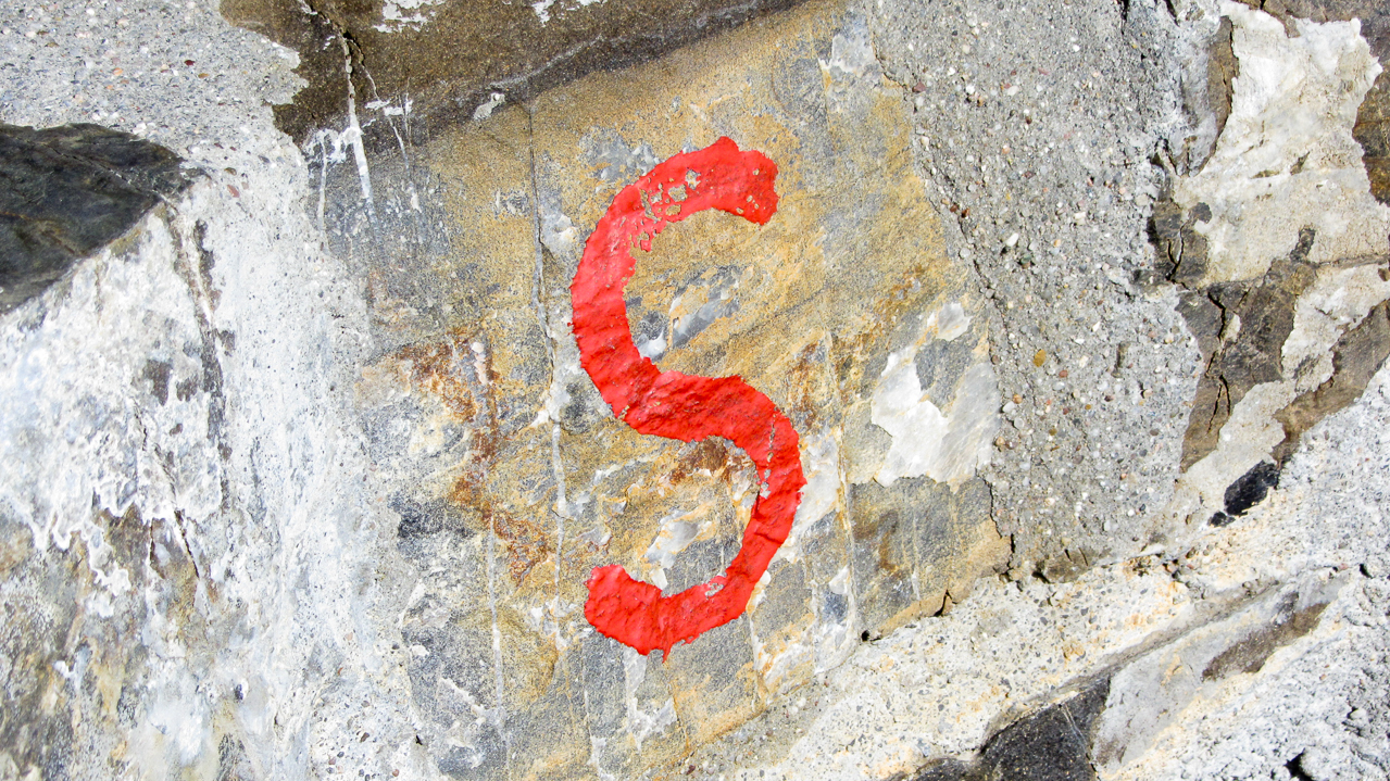
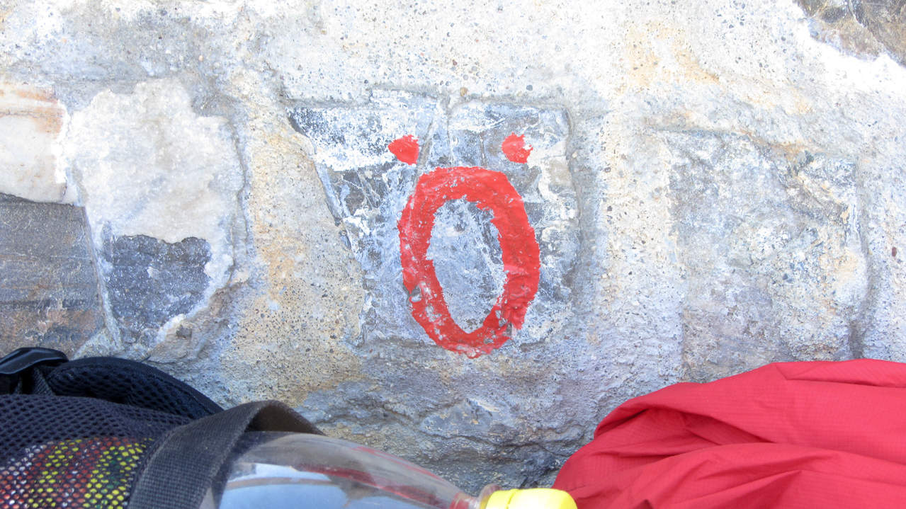
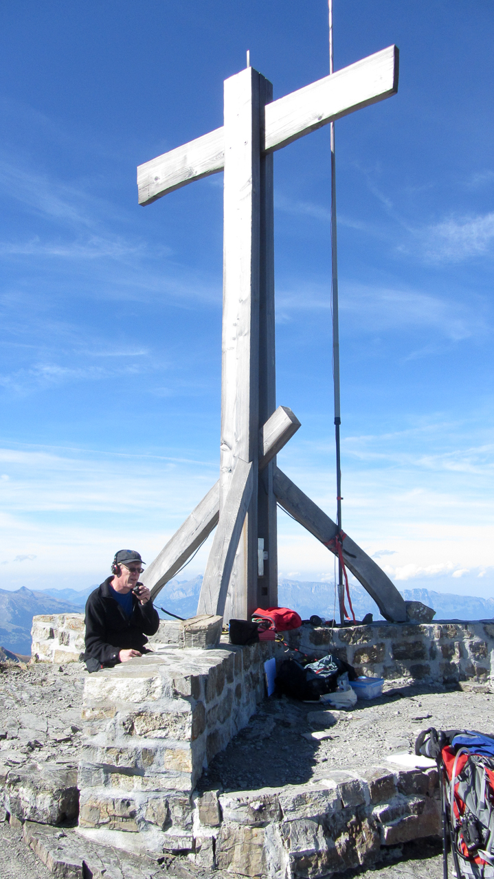
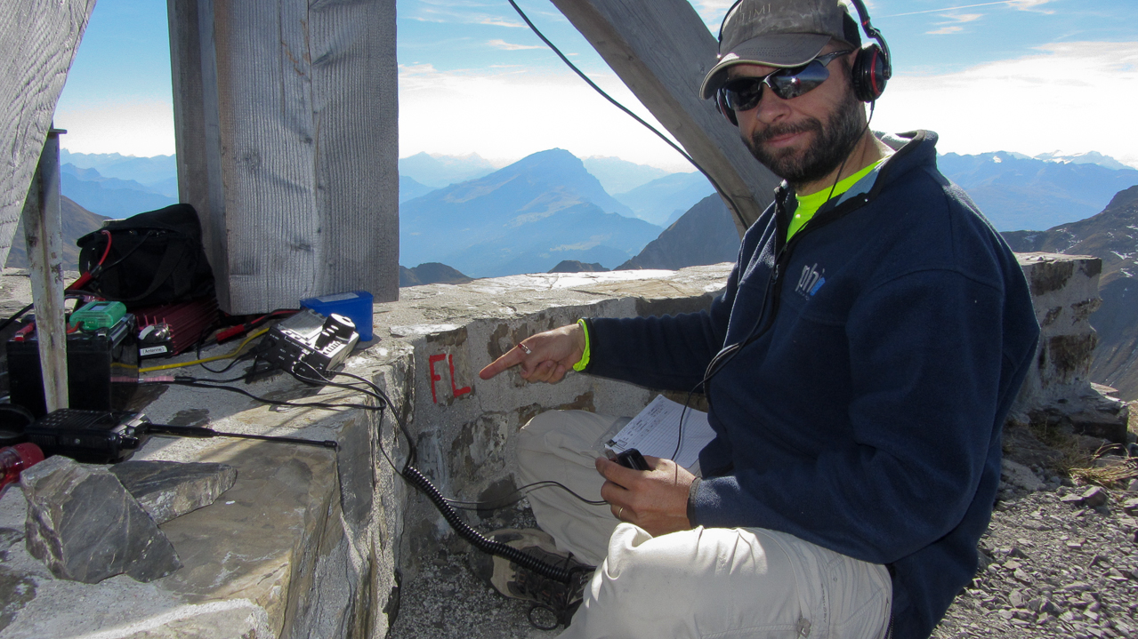
We reached the small summit around 14:00 local time under blue skies and with very comfortable temperatures. An artificial wall built from rocks, ~40 cm/16 in. in height, is dividing the summit along the border lines and building the base for the dominating summit cross. To make it really easy for us, each section of the wall was clearly marked with the name of the country so we would always know where we are :)
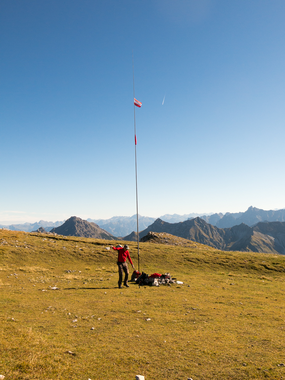
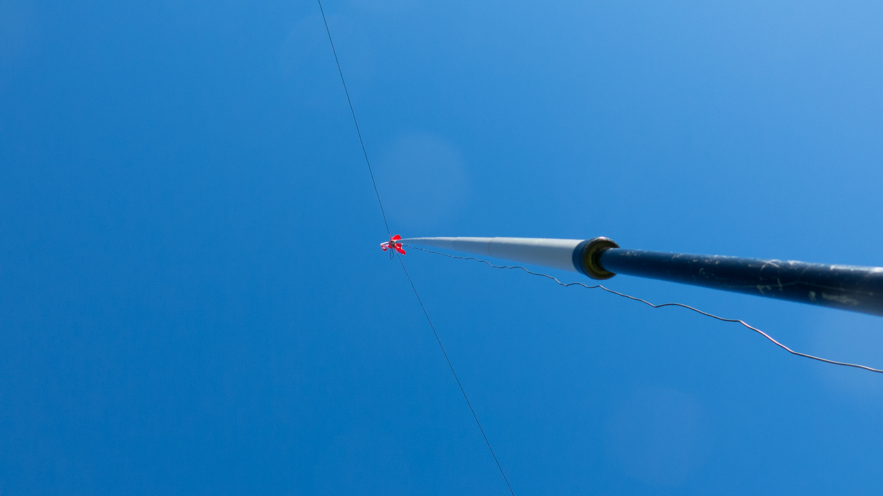
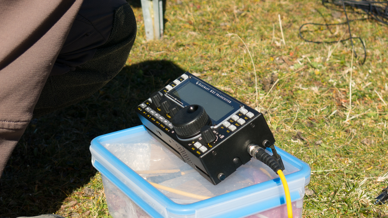
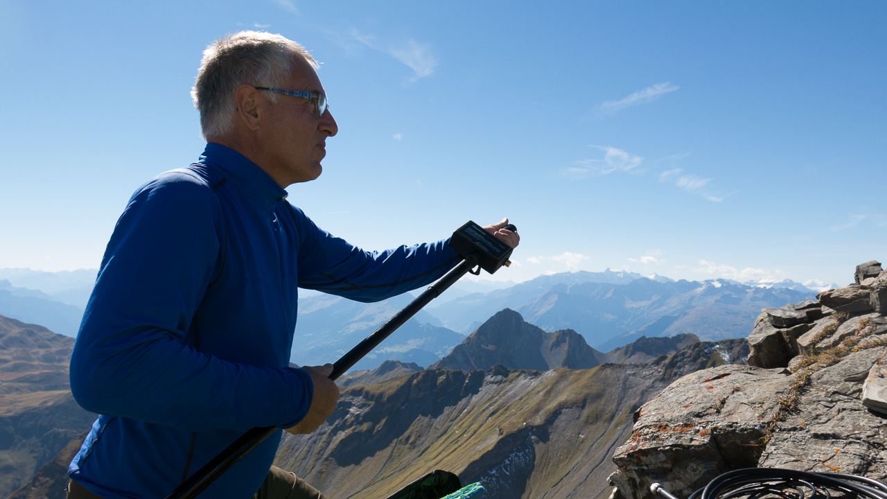
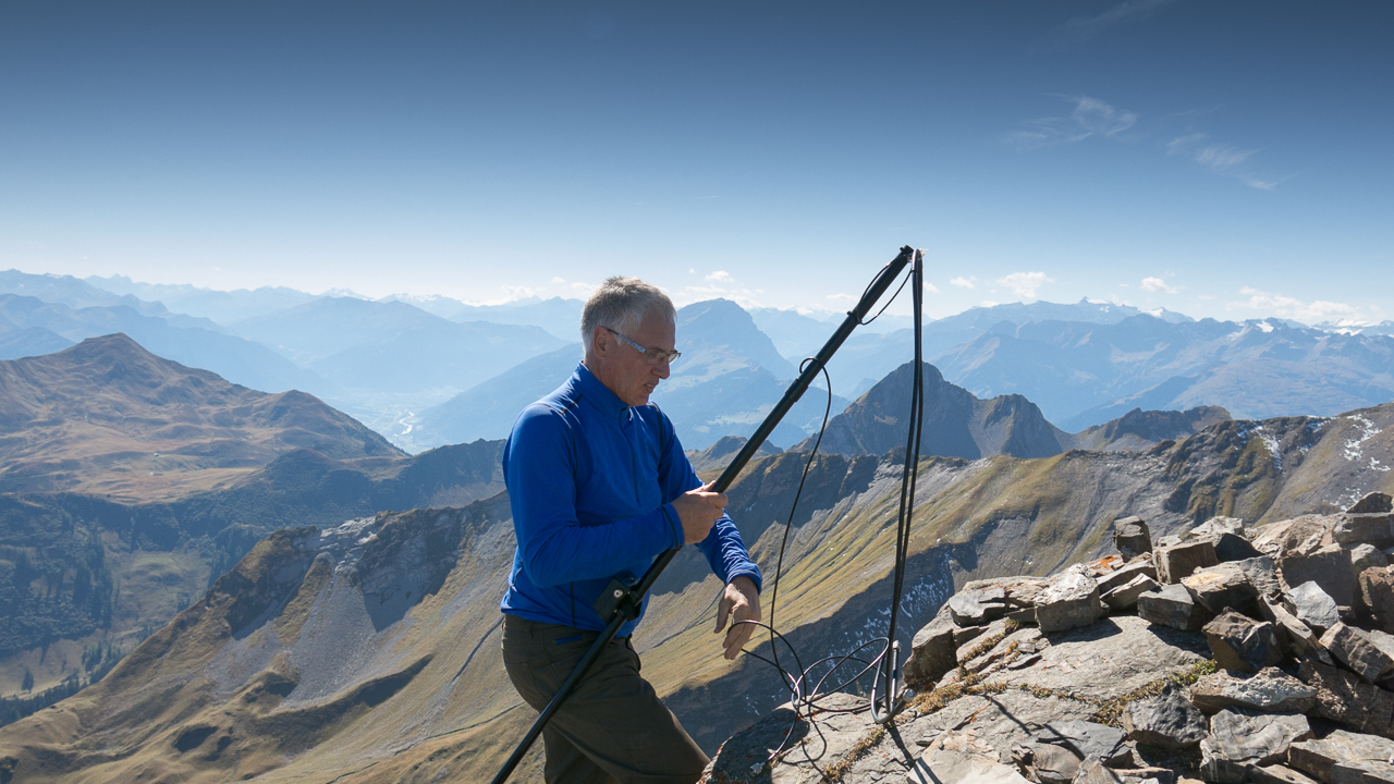
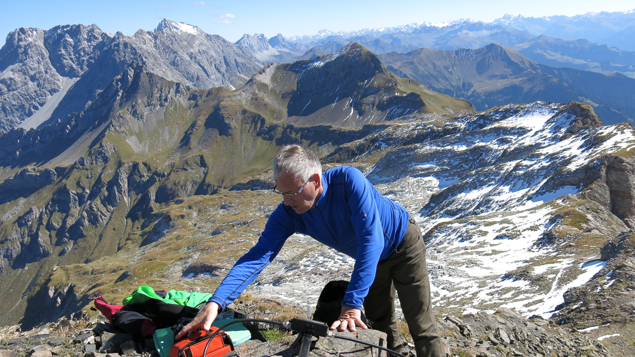
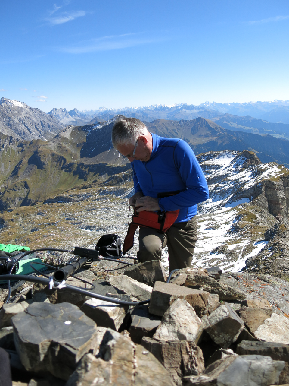
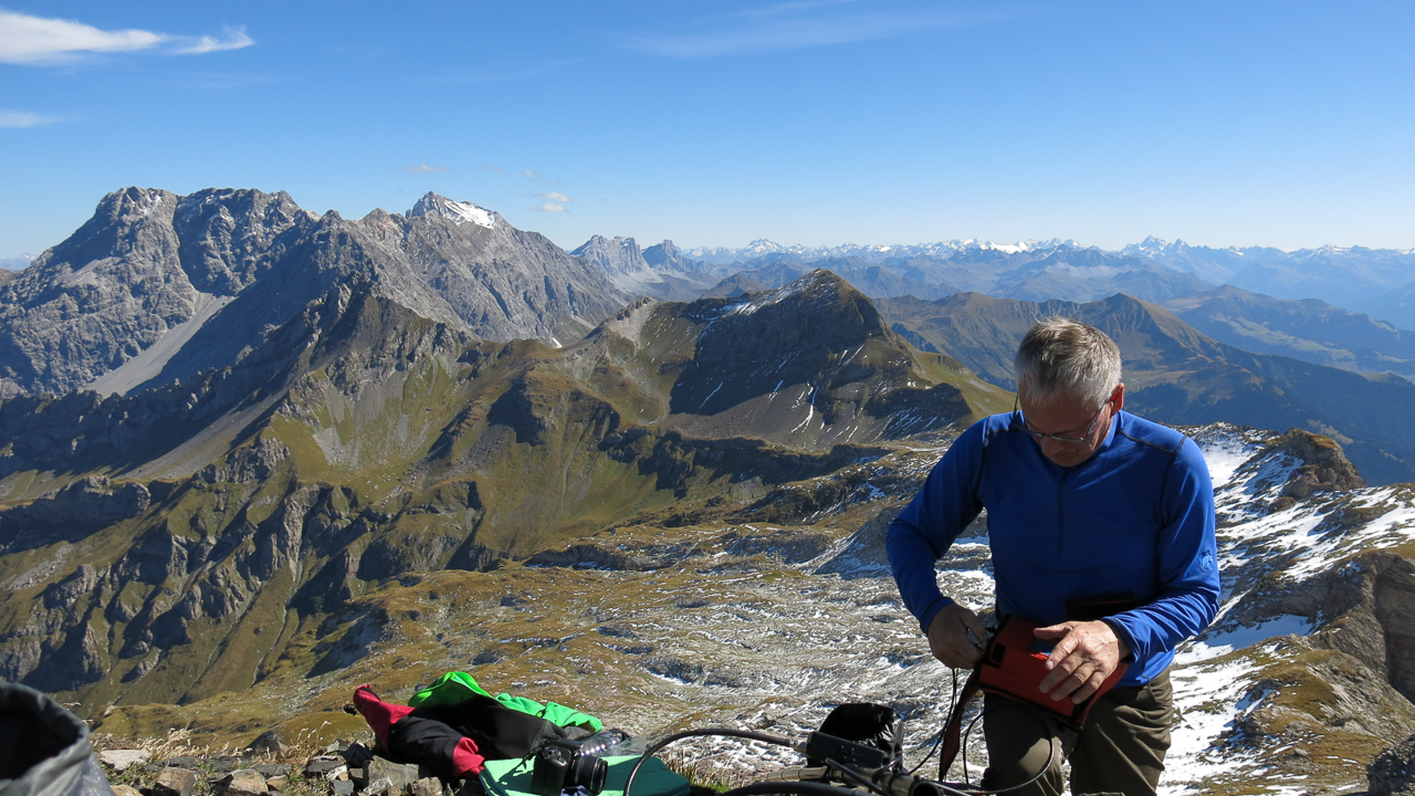
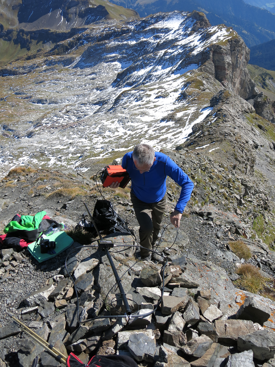
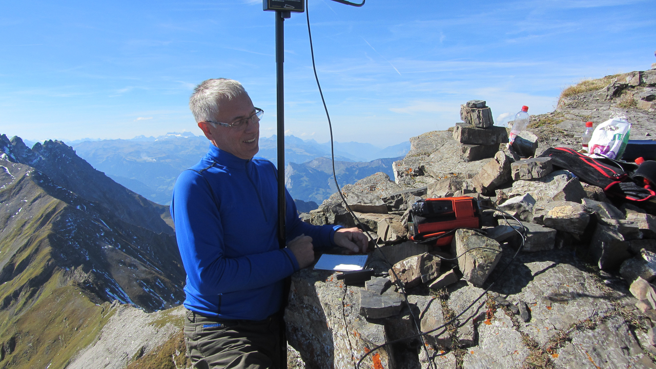
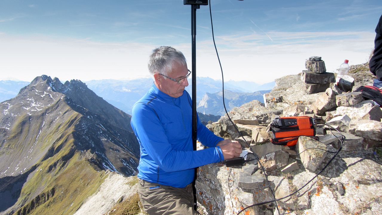
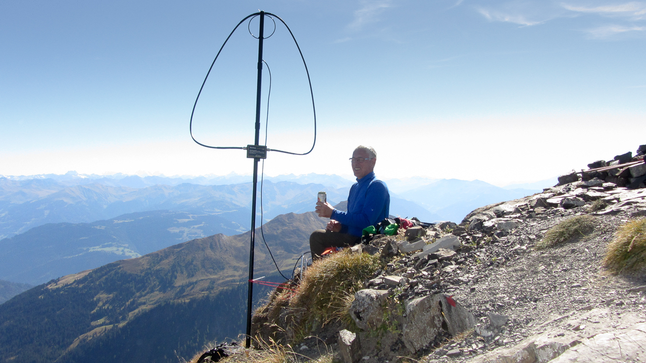
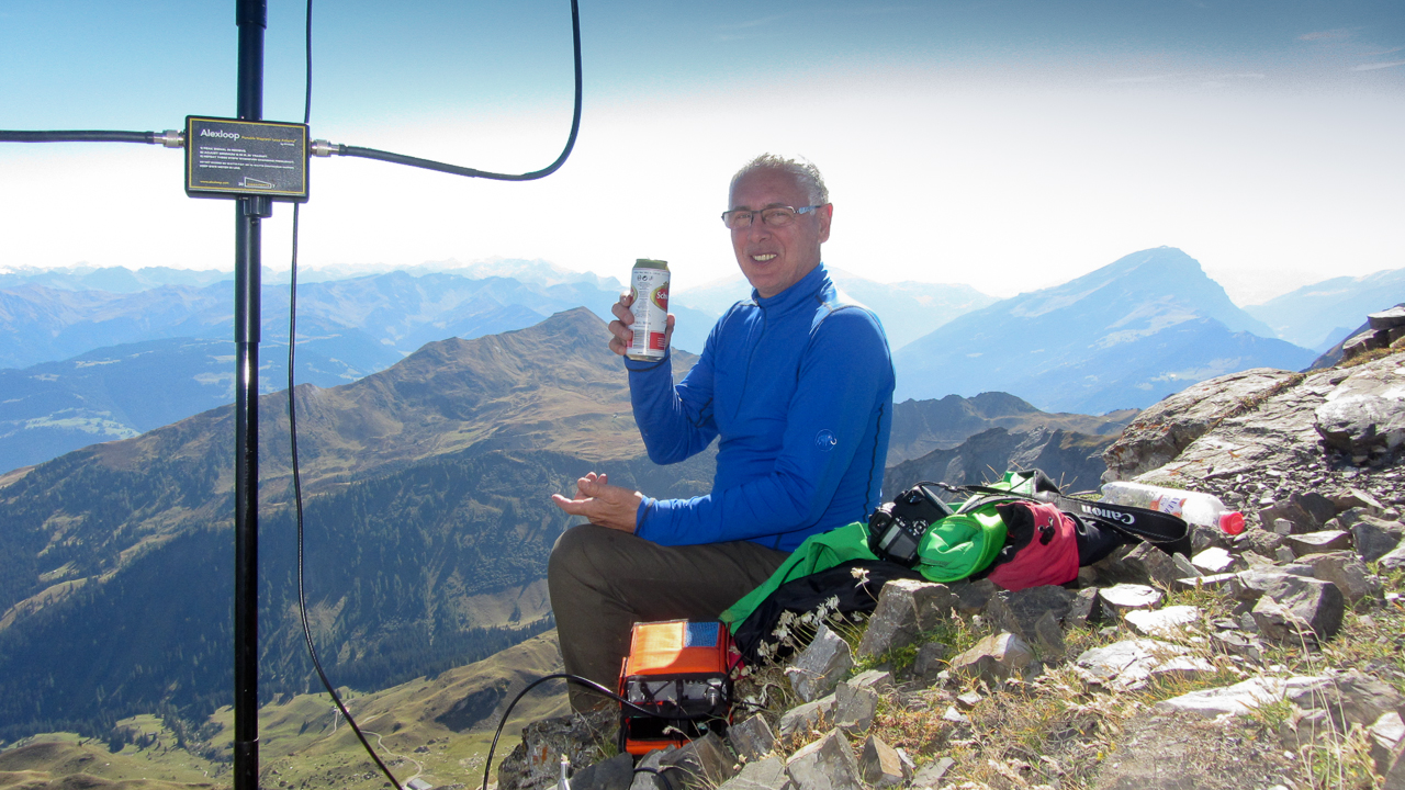
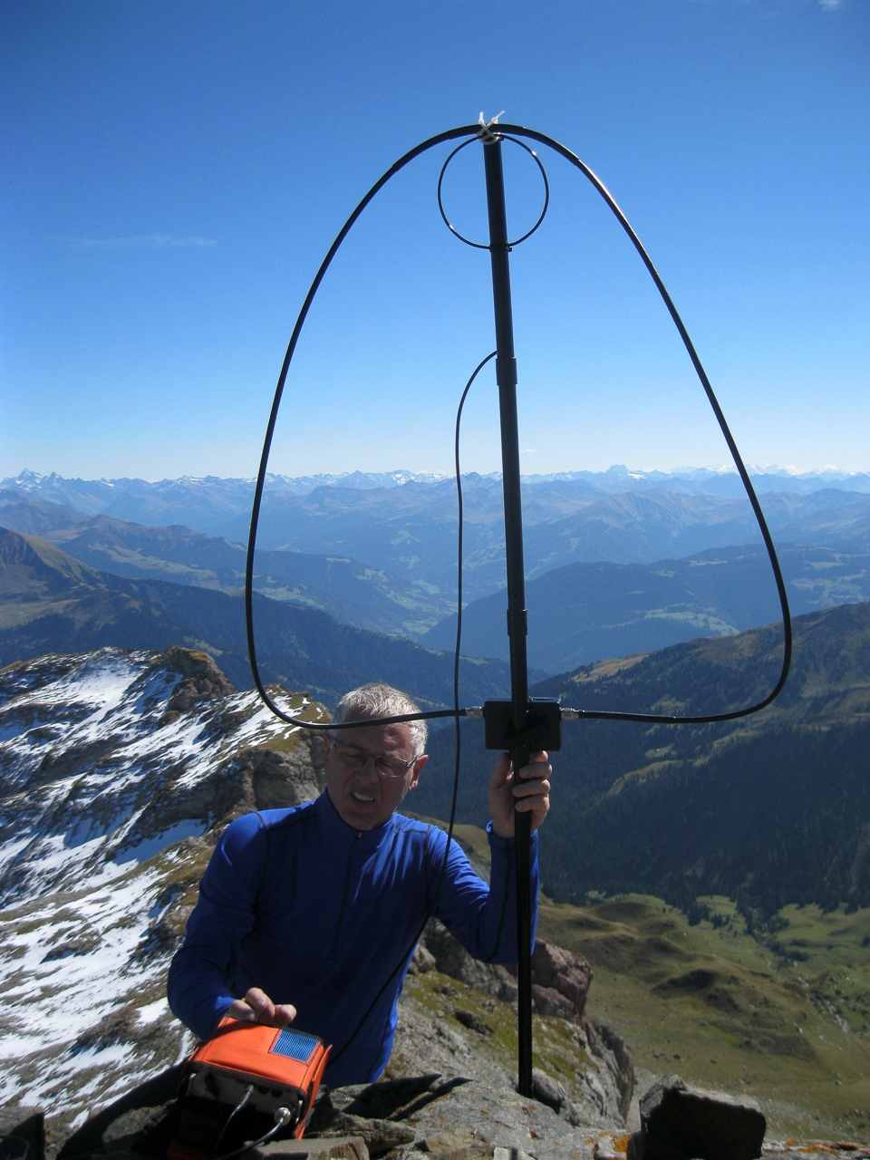
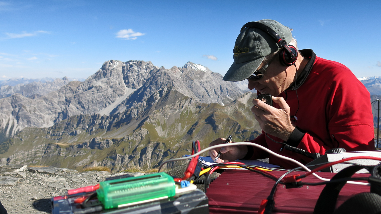
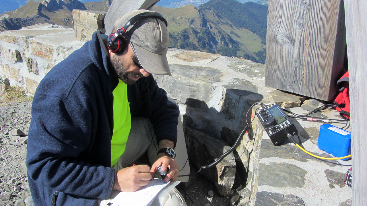
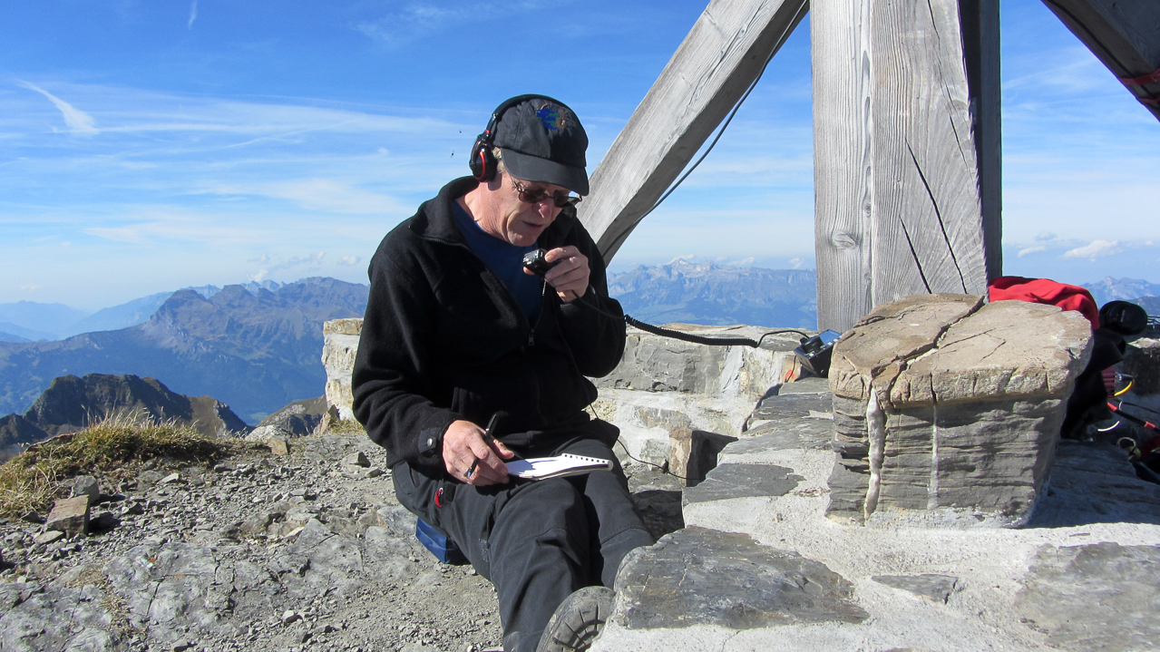
We followed the same procedure as before; Arno setting up a CW station with his FT-817 and an Alex loop, and Hebert setting up the KX-3 with a 20m J-Pole for the SSB crowd. I got the honor to go first and I chose to start on the Swiss (HB) side of the summit – hoping to activate my 10th SOTA association.
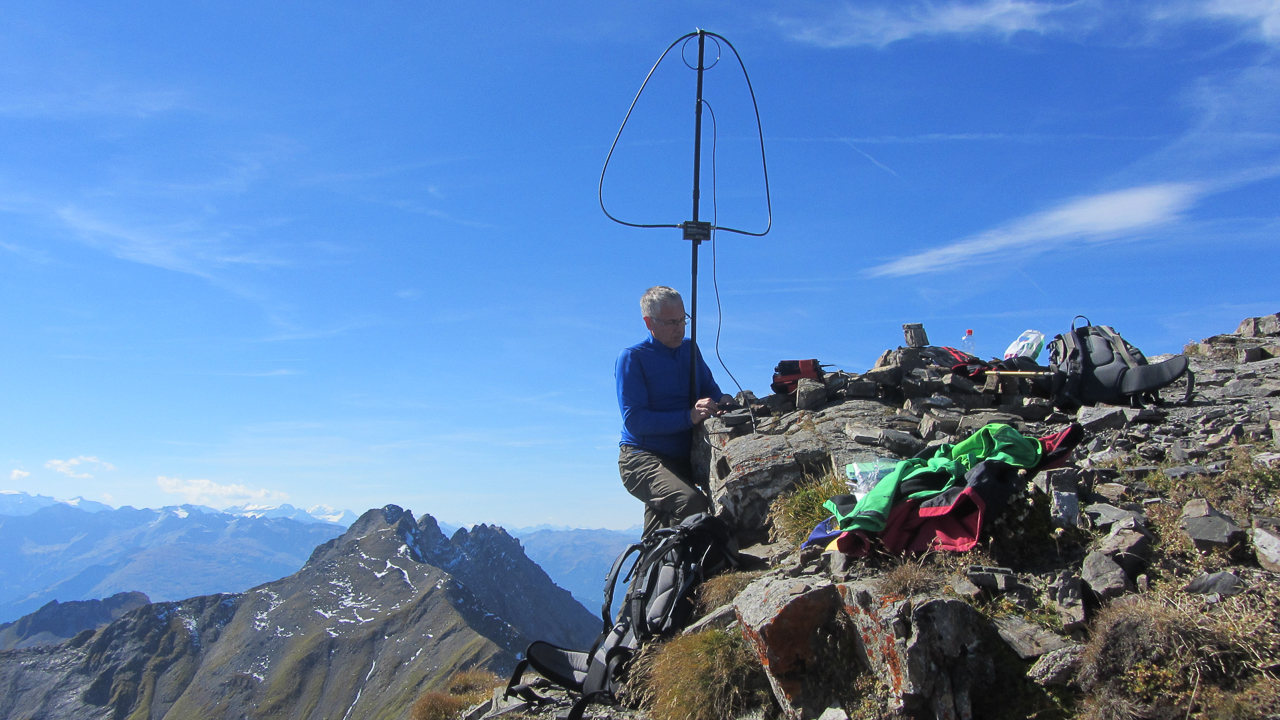
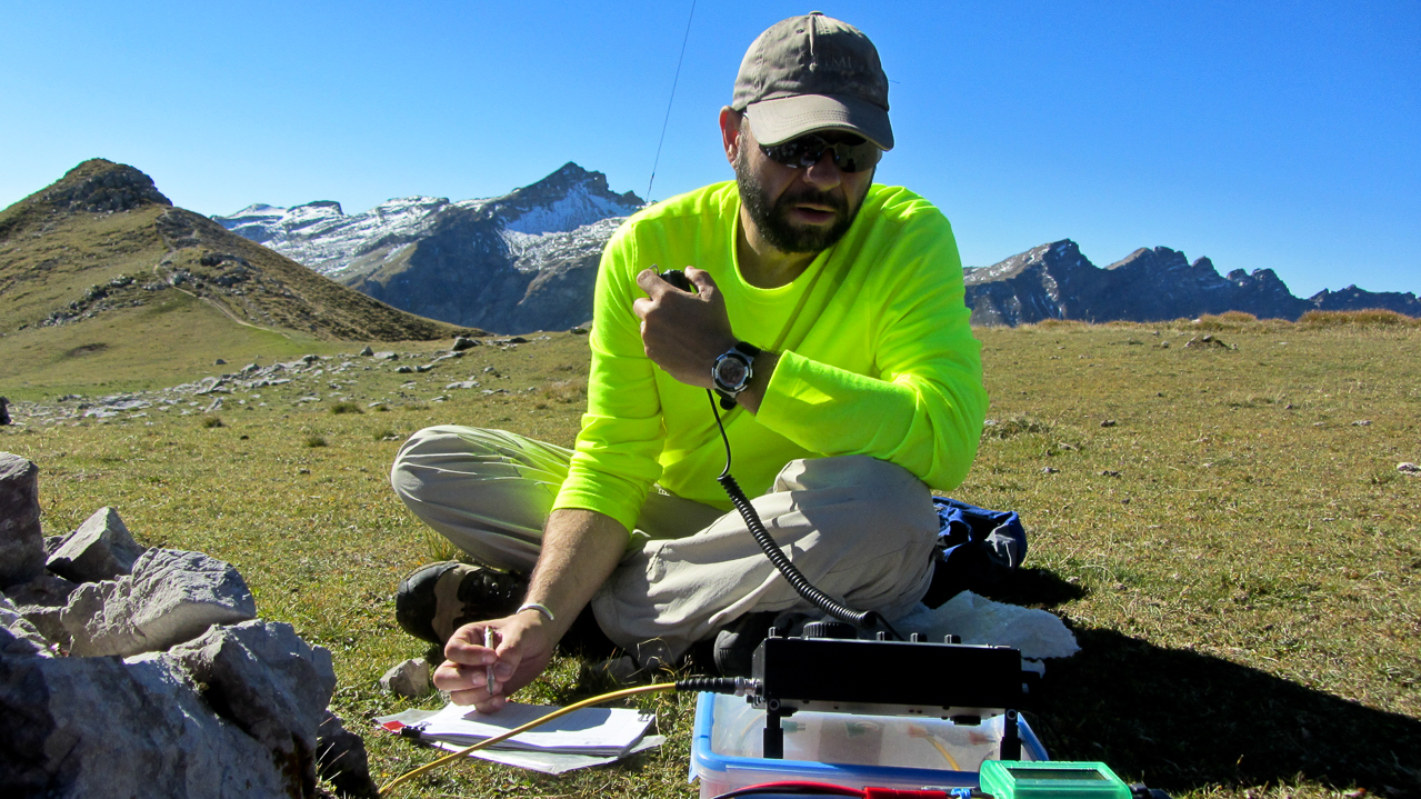
We took turns on the radio. Every 15-20 minutes we announced an operator change so we all had the chance to activate every section (association) of the summit. But announcing a summit change after the first hour stirred up some confusion in the chaser community. Changing the operator and the summit within 30 sec. on the same frequency is not very common. A short explanation of the situation kept everybody’s log in sync.
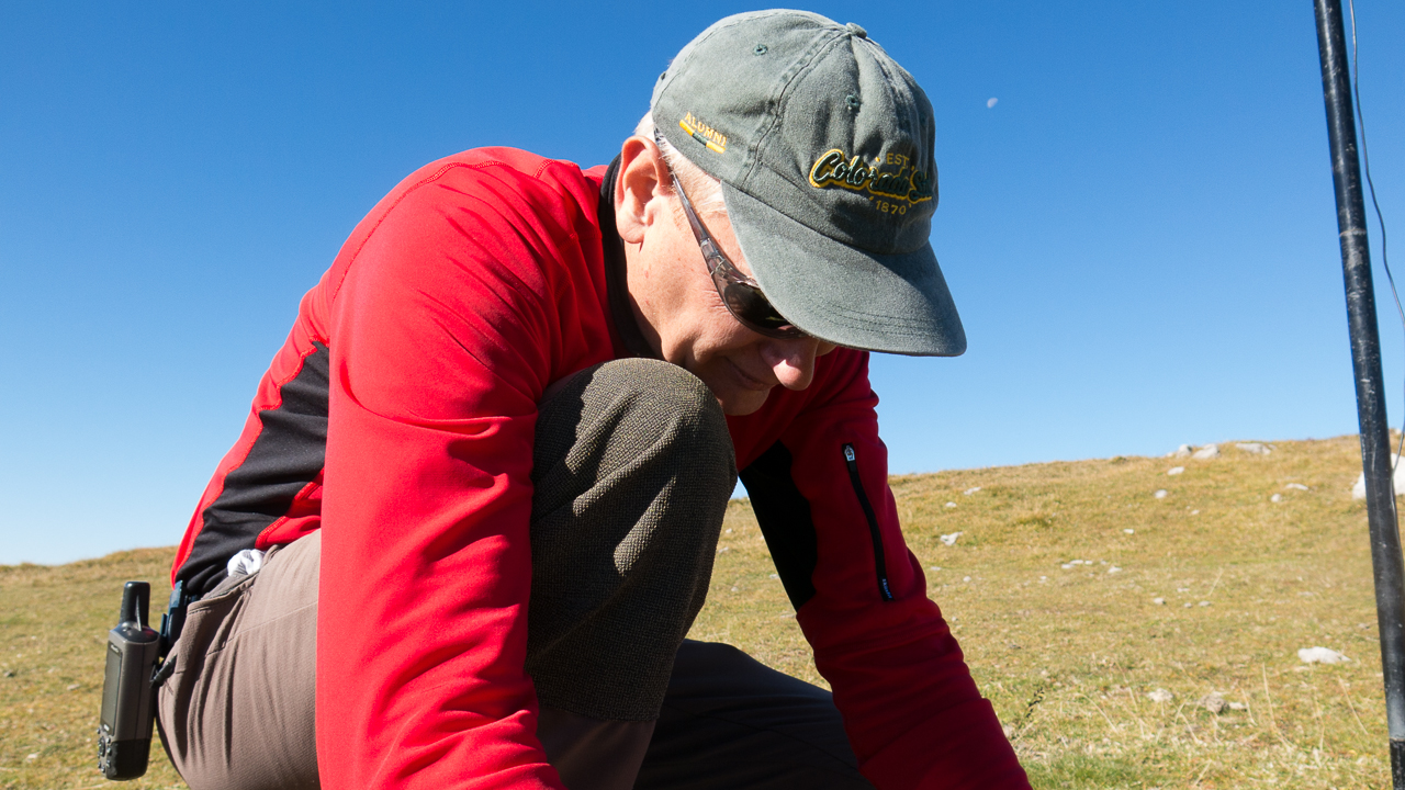
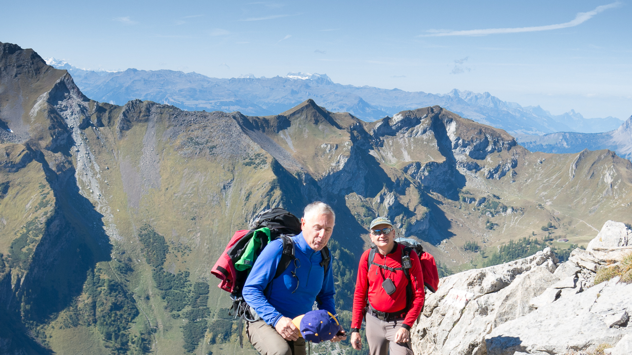
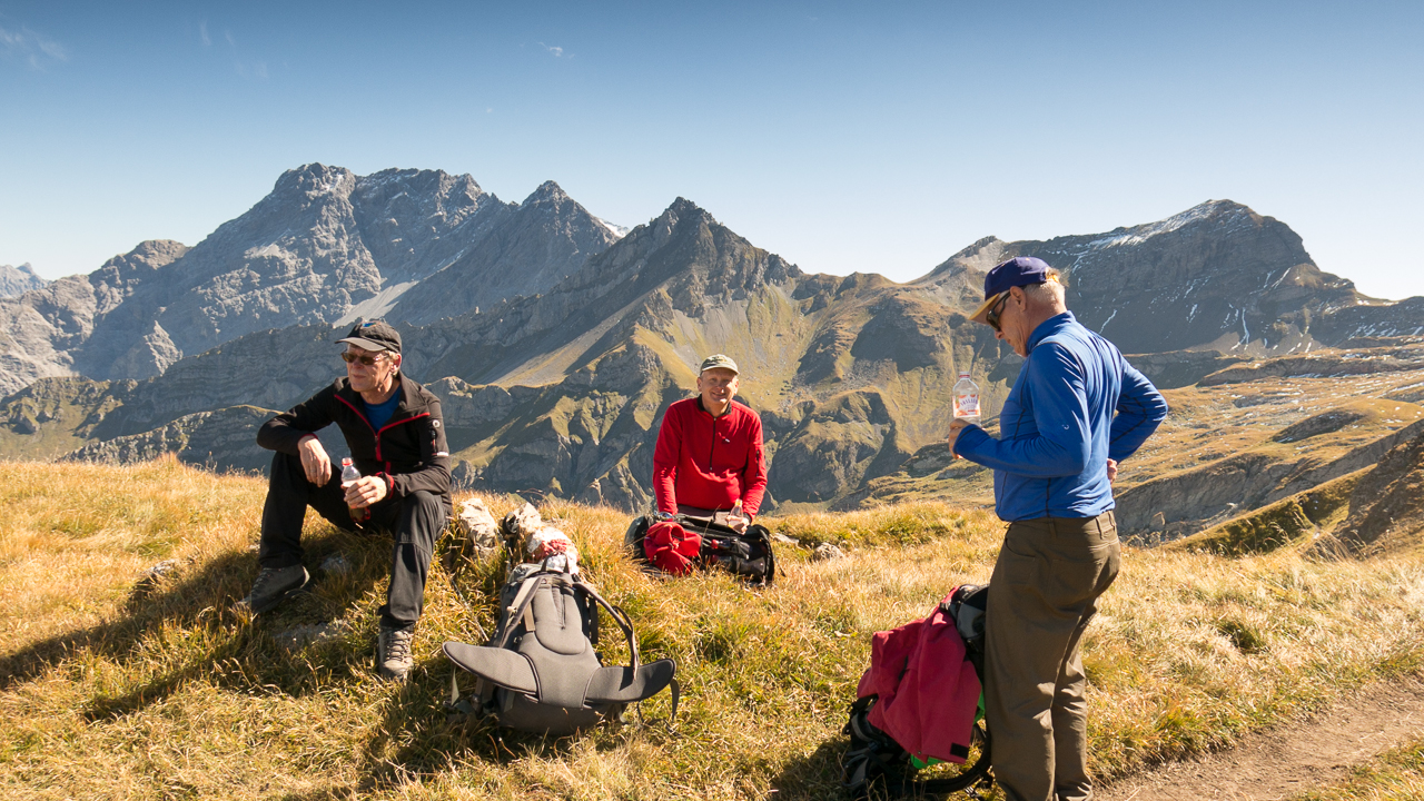
Taking turns on the summit worked out great, giving me enough time to talk and share stories with other SOTA operators and to take plenty of pictures and video footage of a perfect day.
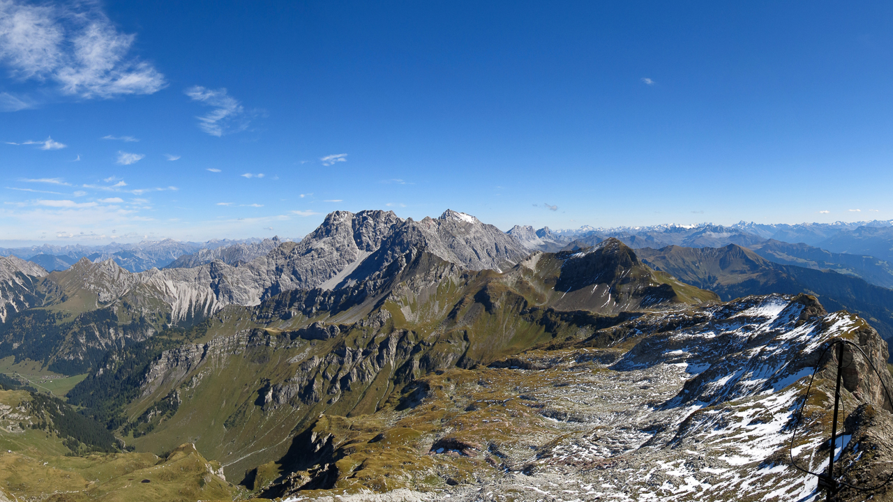
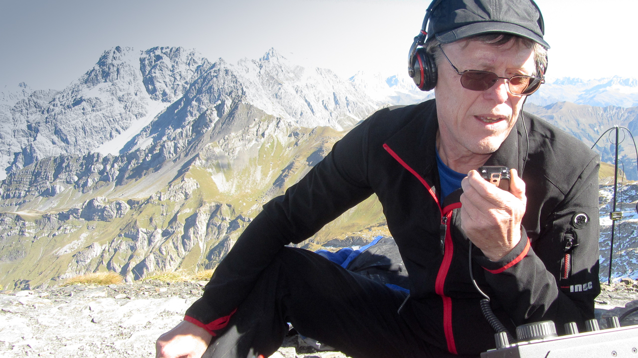
We saved the best for last. With just 11 SOTA summits, Lichtenstein (HBØ) is a rare opportunity for chasers. We changed our antenna for the 15m band, hoping to get across the Atlantic and catch some stations in the US. The plan worked, NA1RL/Richard in Connecticut copied my signal and so did K2JB/Jimmy and AE4FZ/Chuck both in NC. The highlight for me however was the contact with YC5YZ on Sumatra Island – my first contact with Indonesia :)
Following my motto ‘always stop when things are at the top‘ I announced another operator change and handed over the mic to Ramon.
The Descent:
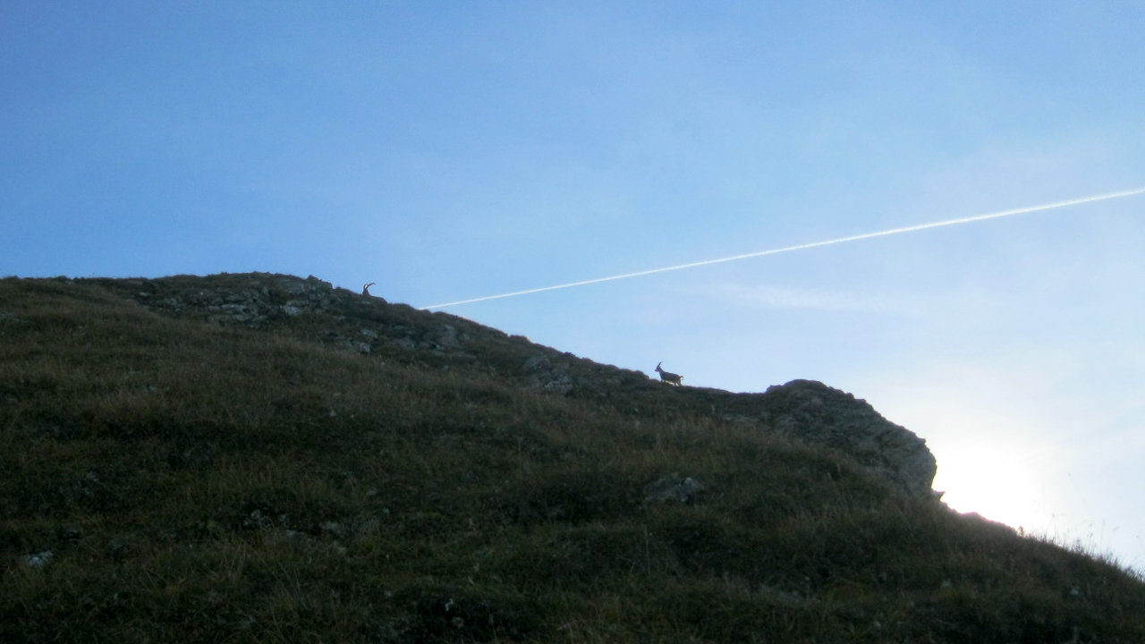
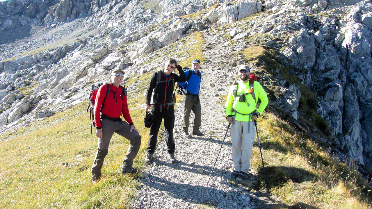
We almost had to detach Herbert from the radio by force… as longs as he has some space left in his logbook, he will not quit. But there was another summit beckoning from the distance. It was already late in the afternoon and a cool breeze forced us to put on another layer for the descent. Arno led the way down. A herd of Alpine ibex retreated from us and gave us little chance for a decent photo. At the Pfälzerhütte we turned west towards Alp Gritsch. Arno could not believe that we passed up the chance to have a beer, but chose to press on to activate another summit. Luckily he is a great guy and readily admitted that the chance to activate another HBØ summit does not come along everyday for me. I guess I owe him a beer.
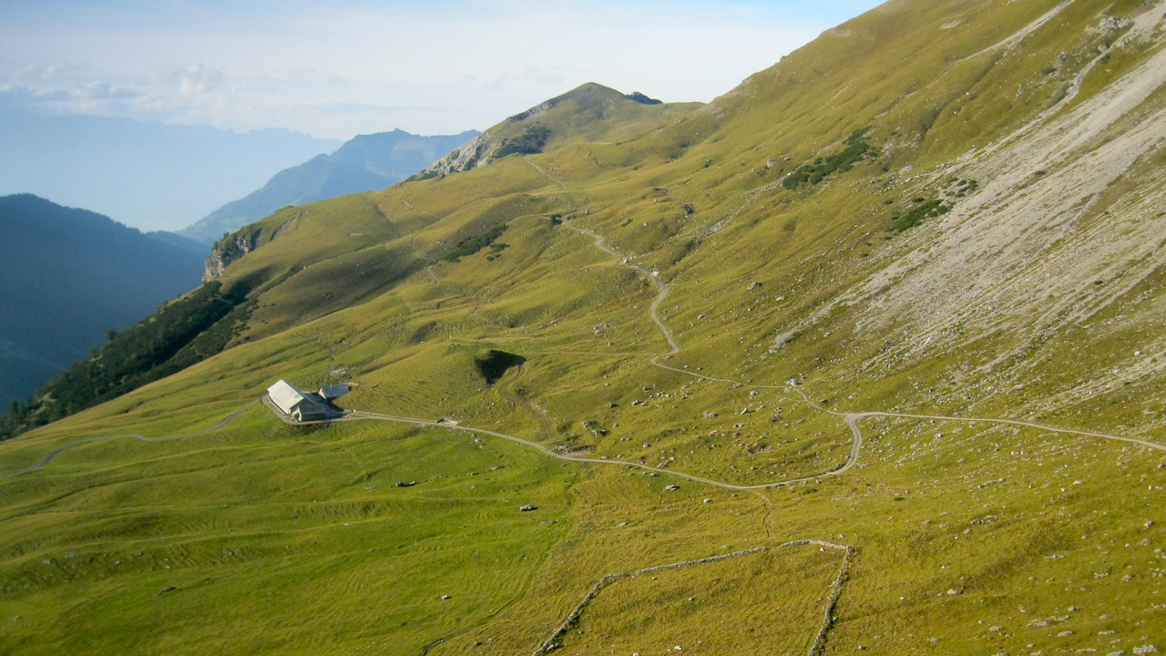
We passed by the Alp towards Tälihöhi, the last ridge we had to get over before heading down to Malbun. The Nospitz can be easily reached by a short ascent from the Tälihöhi. From this ridge it was another 45-50 minutes back to town and to the car. We all started to feel some wear and tear in our bones and joints and reached the car just when the sun went down – perfect timing.
Needless to say that it was an incredible day. The weather cooperated, amazing views, a great hike, special camaraderie and overall perfectly organized by Herbert – a trip I will always remember.
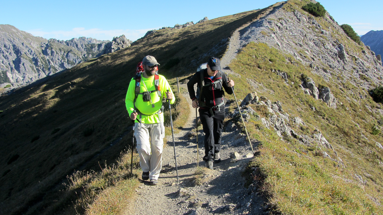
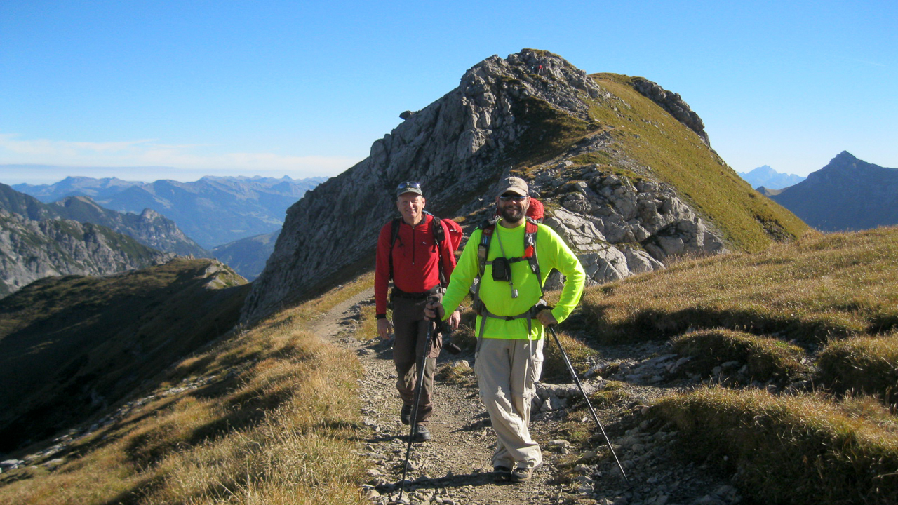
Here some additional pictures:
Some video impressions:
httpvh://www.youtube.com/watch?v=gA8NaYhz1fQ
If you would like to leave questions or comments, please do so through Youtube.
 !! WARNING !! There are old mountaineers, and
bold mountaineers… there are no old-bold mountaineers.
Hiking and mountain climbing are potentially hazardous activities particularly in Colorado with its extreme elevations. I am not accepting responsibility for any death or injury resulting from activations based on my trip reports. Proper training, experience, and personal capability assessment is required – enjoy!
!! WARNING !! There are old mountaineers, and
bold mountaineers… there are no old-bold mountaineers.
Hiking and mountain climbing are potentially hazardous activities particularly in Colorado with its extreme elevations. I am not accepting responsibility for any death or injury resulting from activations based on my trip reports. Proper training, experience, and personal capability assessment is required – enjoy!