SOTA outings by KØMOS and contributors

Tag: Mount Ida

  • WØC/FR-Ø16 (Mount Ida) – 3932 m / 12900 ft

    W0C/FR-016
    Mount Ida
    3932 m / 12900 ft
    July 21, 2013 First Activation
    June 20, 2014

    by KX0R

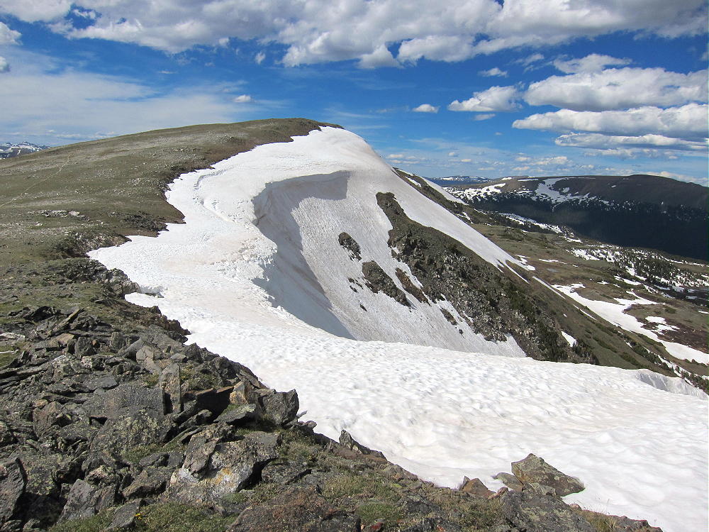
    Mount Ida is a classic alpine summit in Rocky Mountain National Park. A spectacular trail leads along the Continental Divide all the way to the top of the peak.
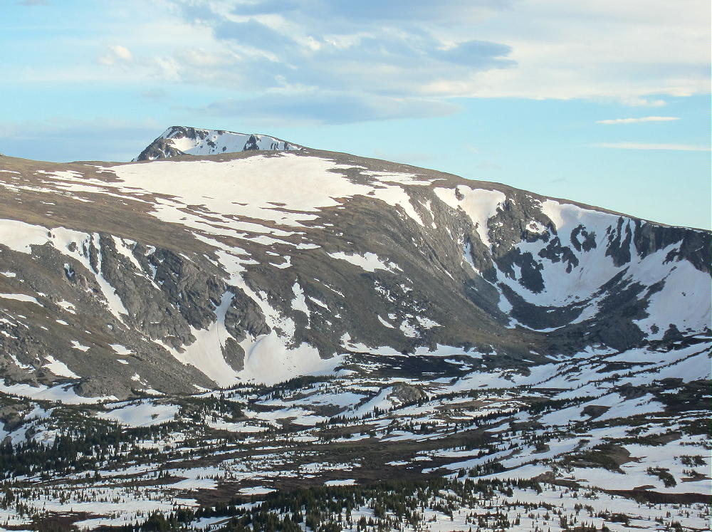
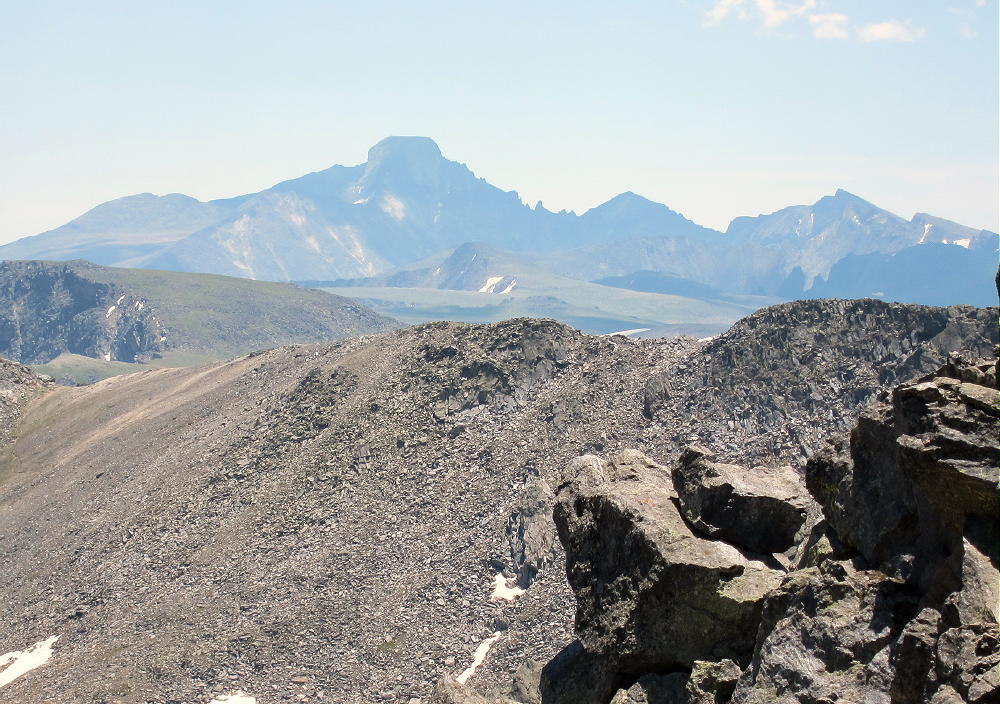
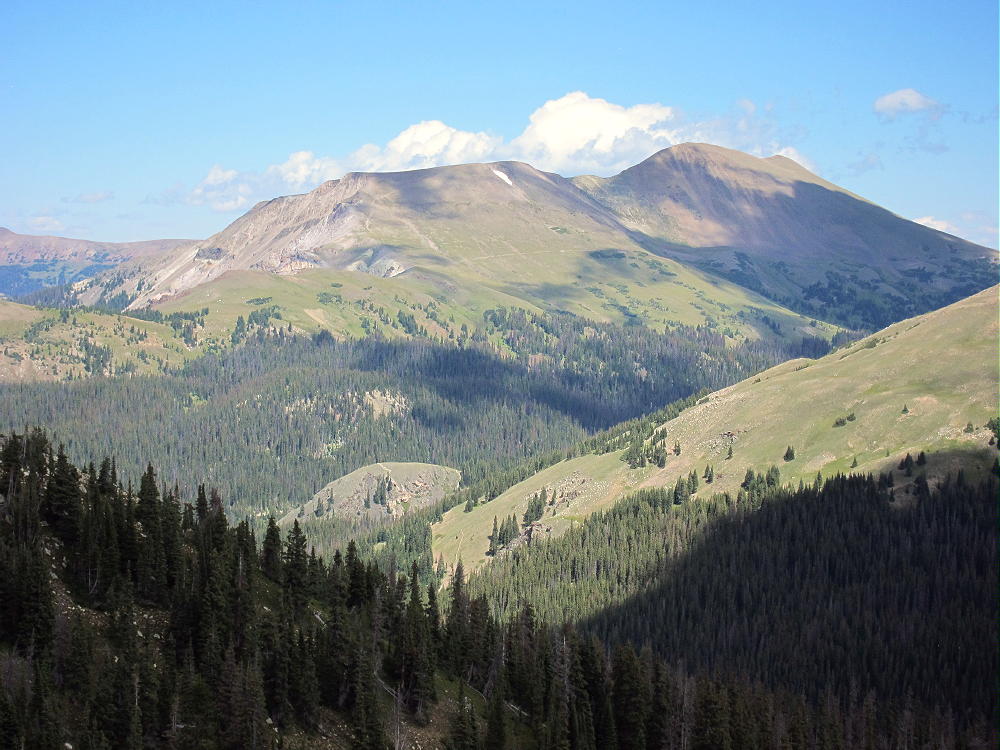
    Mount Ida from Trail Ridge
    Mount Ida from Trail Ridge

    To reach the trailhead, enter Rocky Mountain National Park, drive up Trail Ridge Road, and continue to Milner Pass on the Continental Divide. Milner Pass is at the southwest end of Poudre Lake, at an altitude of 10,759 feet. The road is usually open from late May to about November 1, depending on the snow.

    Some navigating is required to hike this trail. Start up the trail next to the southwest shore of the Lake and head toward Mount Ida. The climbs up the Continental Divide ridge south of Milner Pass and gains altitude quickly. Avoid any fork that heads northeast toward Forest Canyon Pass. Soon the trail climbs above tree-line, moderates, and heads southeast toward Mount Ida. The trail stays below and west of the ridge-top for a mile or more; farther south it climbs close to the ridge-top and runs there for about three more miles.
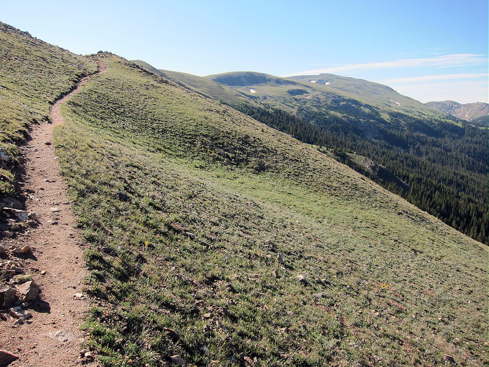
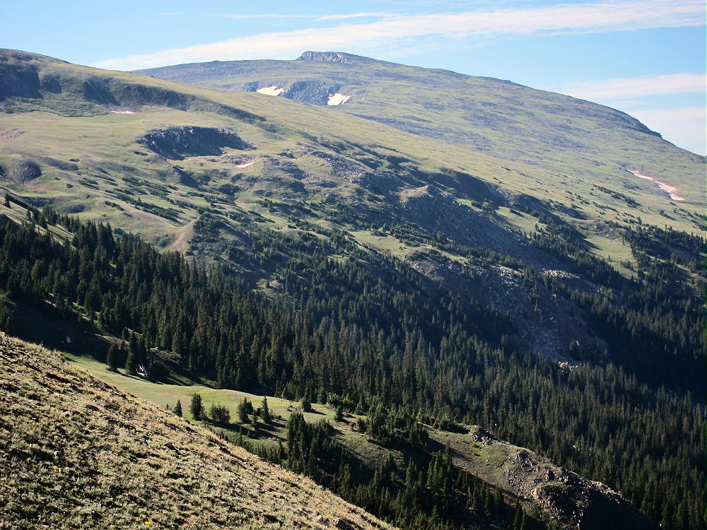
    The total round-trip distance from Milner Pass to Mount Ida and back is about 9.5 miles; the total ascent is about 2200 vertical feet.

    When I went up there June 20, 2014, I misjudged conditions, because trails on the east side of the Park were mostly open and snow-free. I found the trail at Milner Pass under several feet of snow and essentially impassible without snowshoes. With my snowshoes at home, I drove to a point near the Alpine Visitor Center, hiked the snowy trail southwest to Forest Canyon Pass, and then hiked over the ridge-tops of the Divide to the Mount Ida trail.

    Mount Ida Route Long Hike Route
    Mount Ida Long Hike Route June 2014

    There was little snow up high, so this long, strong route worked out OK; I found myself on top of Ida – all alone in the high alpine wilderness! The round trip from near the Alpine Visitors Center was just over 13 miles.  If I go up there again in June, I’ll remember my snowshoes!

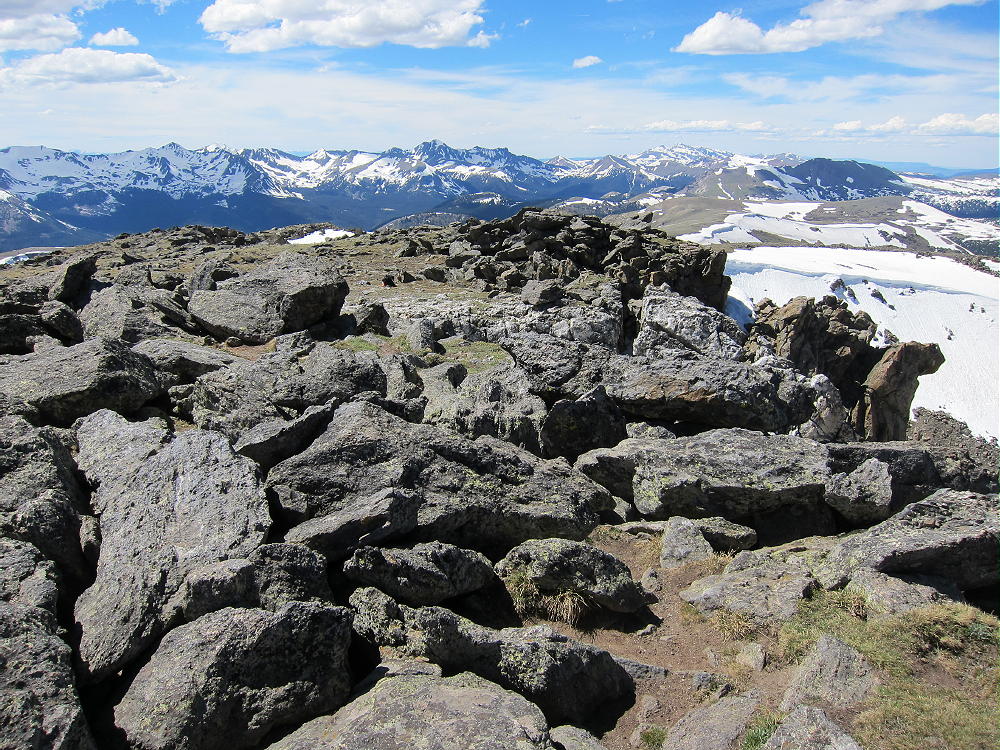
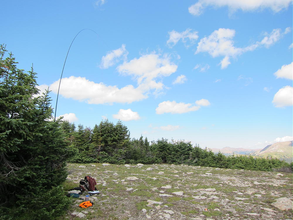
    If the weather is good, Mount Ida provides an exciting SOTA activation. The summit is rocky, and the activation zone is large. Some convenient rock outcrops are available for holding a pole, or for tying the far end of the wire. The flat area northwest of the summit is a good spot to set up.
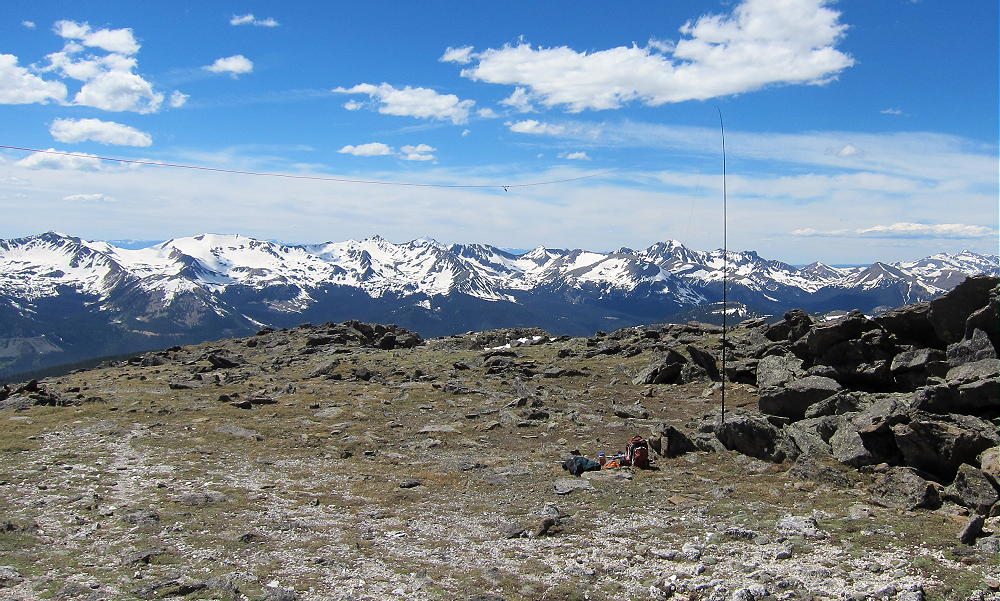
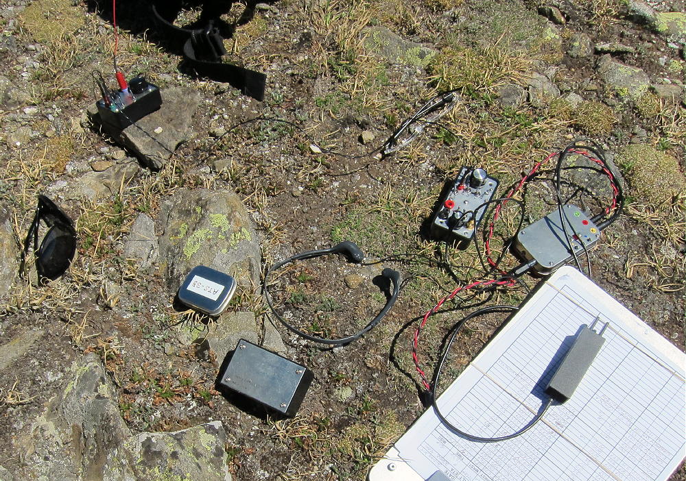
    The only problem – besides wind – is that there are marmots – these large rodents sometimes seek out rope or Dacron antenna lines and sabotage the activation.

    Note that in the Summitpost Link on the SOTA page – this is a good article –  the writer suggests hiking to Mount Ida from Bear Lake as a possible alternative to starting at Milner Pass. The journey from Bear Lake is an extreme hike, with much of the route exposed to weather for about seven miles each way along the high Divide. Only hikers in top physical condition, with plenty of high-altitude experience, should attempt that route – and then only with adequate gear and preparation for the conditions. The round-trip distance from Bear Lake is well over 20 miles, and much of that is off-trail and above tree-line!
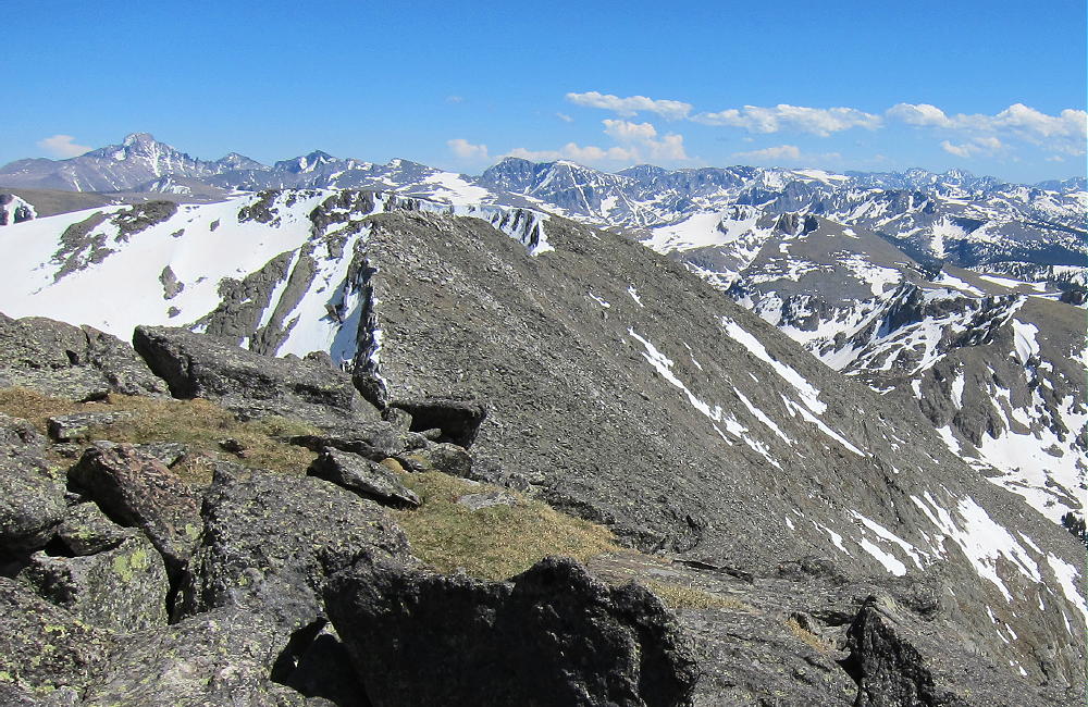
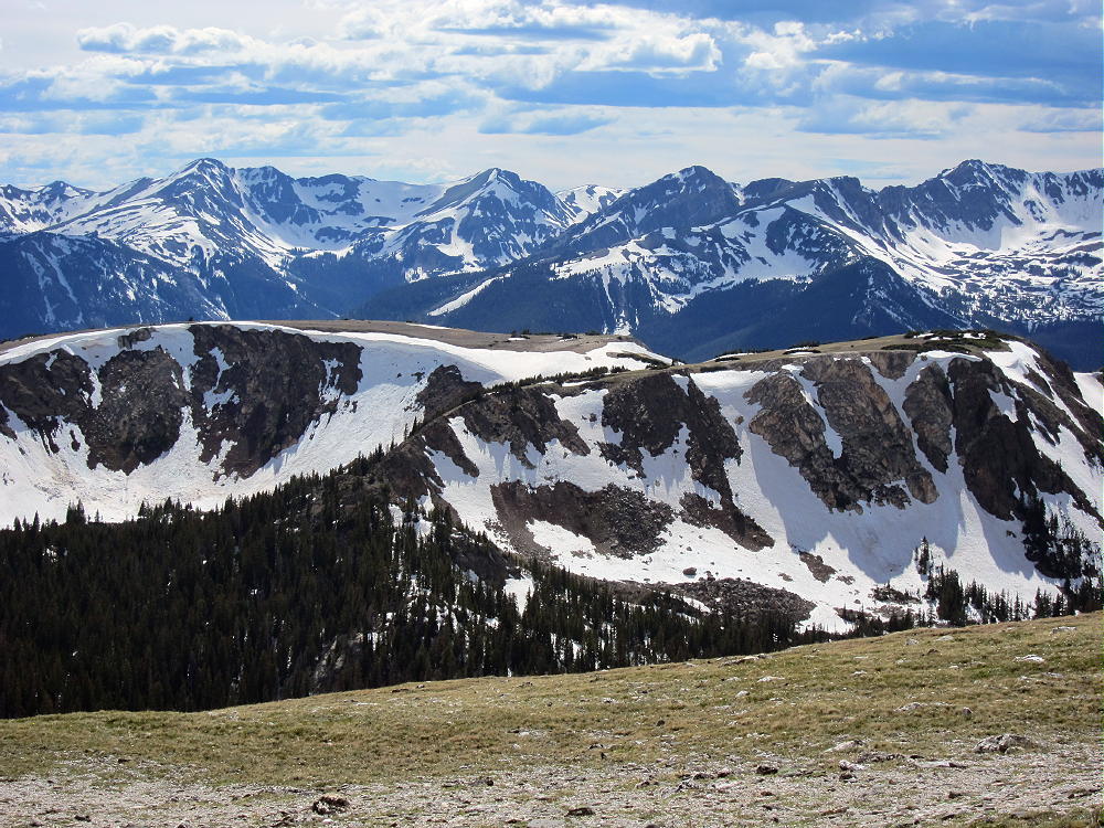
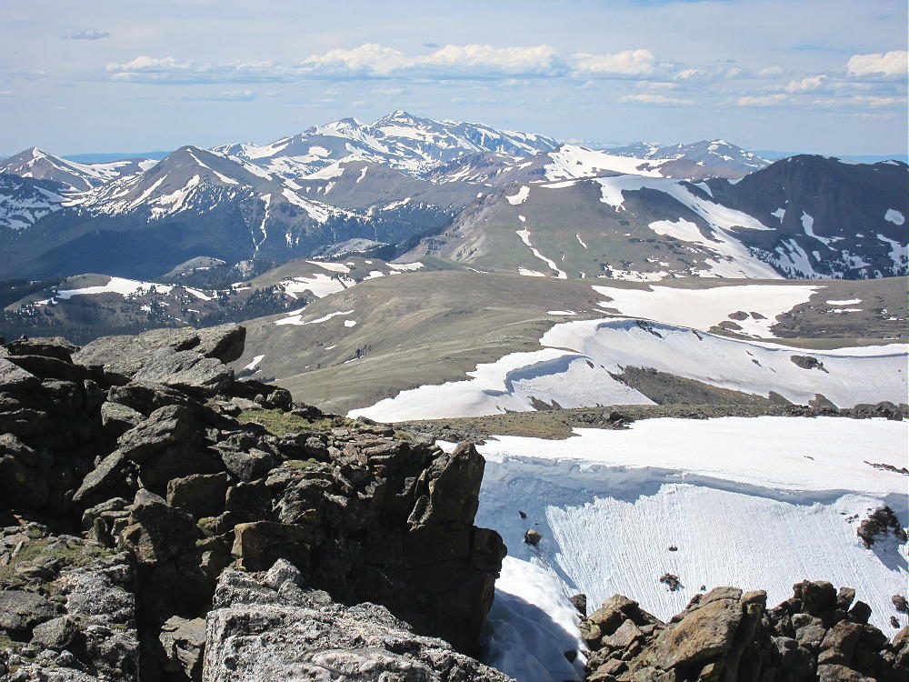
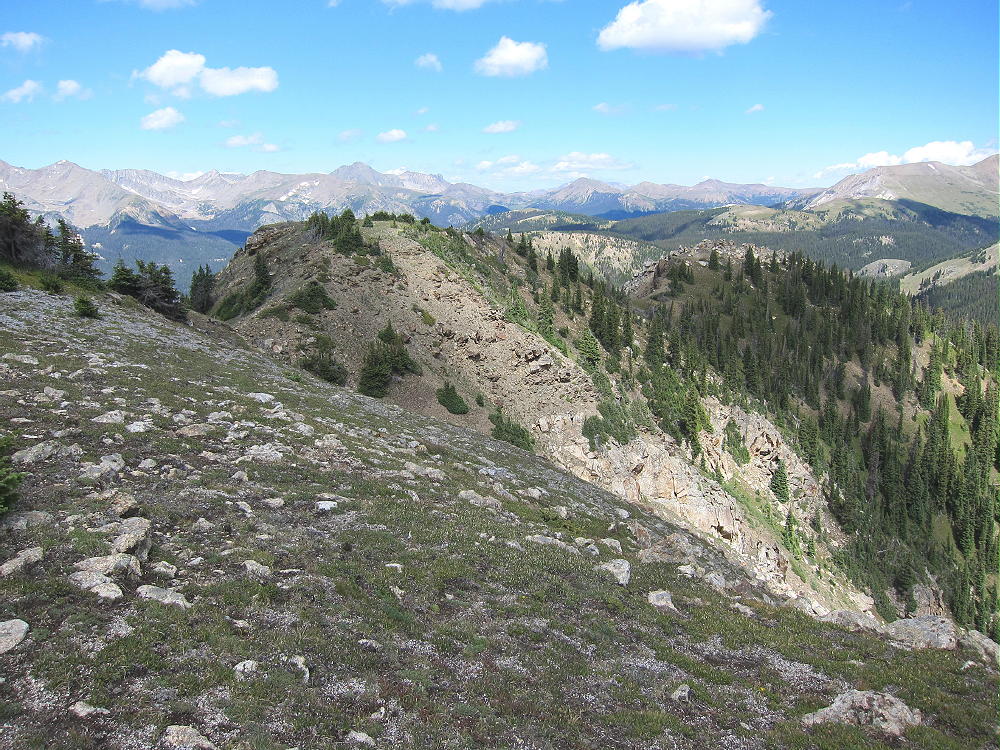
    Mount Ida South along Divide
    Mount Ida South along Divide

    Even on a sunny day, Mount Ida can be very windy – be prepared. The high, spectacular trail along the Divide is wonderful on a nice summer day, but it’s dangerous if storm clouds build up. An early start is a good idea. Avoid this area if thunderstorms are forecast, and be prepared to head down if the weather threatens. There is no good way off the high trail along the Divide, so don’t get caught up there!

    73

    George Carey Fuller
    KX0R

    ATTENTION !! WARNING !! There are old mountaineers, and bold mountaineers… there are no old-bold mountaineers. Hiking and mountain climbing are potentially hazardous activities particularly in Colorado with its extreme elevations. I am not accepting responsibility for any death or injury resulting from activations based on my trip reports. Proper training, experience, and personal capability assessment is required – enjoy!
  • WØC/PR-Ø76 (Jackstraw Mountain) – 3567 m / 11704 ft

    W0C/PR-076
    Jackstraw Mountain
    3567 m / 11704 ft
    August 24, 2014
    First Activation

    By KX0R

    Jackstraw Mountain is a minor summit adjacent to Mount Ida and the Continental Divide in Rocky Mountain National Park. Because the peak is in wilderness far from roads, it takes a significant effort to activate it – but it’s fun!

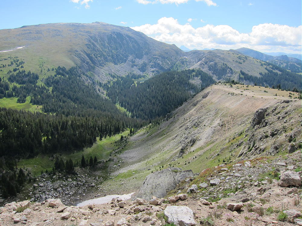
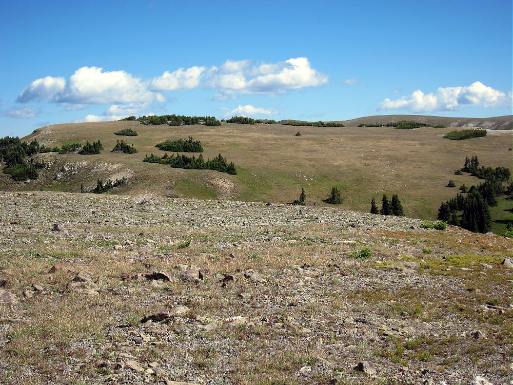
    View North across Plateau toward Jackstraw Summit
    View North across Plateau toward Jackstraw Summit

    There is no trail to the top of Jackstraw, but the popular Timber Lake Trail runs within 0.6 miles of the summit. The remaining 1-plus-mile off-trail hike is a nice introduction to the sub-alpine zone of the National Park.

    To reach the trail-head, drive to Estes Park, continue into the Park, drive over Trail Ridge Road, and descend into the Colorado River drainage on the west side of the Park. Head south for about 1.5 miles from the last switchback, and park at the marked Timber Creek trail-head.

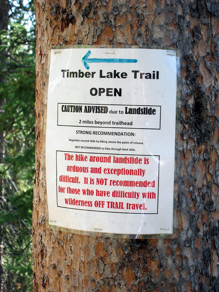
    The trail starts at 9050 feet and leads south, gradually ascending the west side of Jackstraw. The route is steep from 9200 to 10,000 feet, and then it moderates. Unfortunately there is a huge mudslide at about 9900 feet, and a tricky detour is required to climb above the head of the slide and back down to the trail. There are strict warning signs; crossing the slide is virtually impossible, because it is a dense 3-D matrix of interlocked trees and branches. Getting around the slide is the hardest part of the hike up Jackstraw. Hopefully the trail will be restored in 2015.

    Landslide Warning on Timber Lake Trail
    Landslide Warning on Timber Lake Trail

    When I climbed Jackstraw, I followed the Timber Lake Trail to about 10,150 feet, and then I headed north up the slopes. After several hundred vertical feet of steep bushwhacking up through fallen trees, the mountain’s slope is more gentle, and the sub-alpine forest opens up. There are obvious game trails. The remaining 1000 vertical feet are along a pleasant ridge leading up to alpine meadows bordered by krummholz thickets. There is a false summit – Jackstraw’s peak is near the north edge of the alpine plateau.

    There is a nice alternate route up Jackstraw. Instead of heading up through the steep woods at 10,150 feet, as described above, continue climbing on the Timber Lake Trail to about 10,800 feet; near the “Rockslide” camp site, head up northwest into a deep valley leading up the south side of the summit. There are well-used game trails in the upper levels of this lush wilderness. Follow the drainage up a steep grassy slope to the saddle south of Jackstraw, between the two summits, and climb the ridge to the top. I descended this wonderful route, and I think it’s more scenic than the southwest ridge, provided most of the snow is melted out.

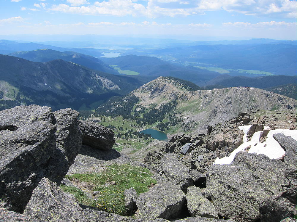
    Southeast Valley of Jackstraw and Mount Ida
    Southeast Valley of Jackstraw and Mount Ida

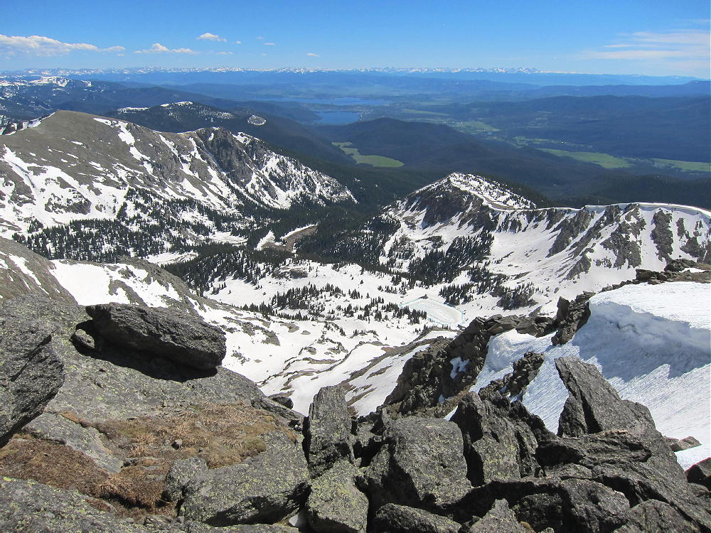
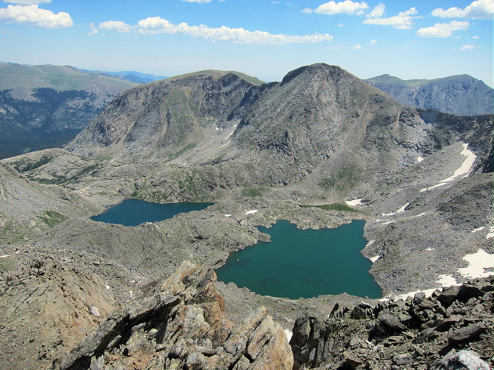
    The broad summit is almost flat, with convenient thickets providing protection from wind. You can set up and activate wherever you like in the large activation zone. This peak sees few human visitors, but there are signs of many animals. The views of Mount Ida high above – Specimen Mountain to the north – and Timber Lake in its cirque to the southeast – create a feeling of being deep in the wilderness.

    Because Jackstraw sits immediately below and west of the huge wall of the Continentental Divide, signal propagation to the east is surely reduced, especially at VHF and UHF. This is a wonderful HF site because it’s RF-quiet; I made 36 contacts on 20 and 15M CW, with no hint of a problem in any direction. Jackstraw might be difficult to activate at VHF-UHF, because except to the south, the summit is surrounded by higher mountains.

    It’s probably possible to climb Jackstraw from the trail leading from Milner Pass along the Divide to Mount Ida. When I activated Ida in 2013 and 2014, I had a good look at Jackstraw from above. There is a saddle at 12,000 feet on the Divide, about 1 mile north of Mount Ida. This saddle would be the best place to descend 800 vertical feet west to the Jackstraw saddle at 11,200 feet. From there a craggy ridge climbs 400 vertical feet up the southeast side of Jackstraw. Even if there are problems on this ridge, there surely is a practical route and game trail on the southeast side of the mountain. A detour southwest into the valley described above might work OK. However, the east and north sides of Jackstraw are very steep and should be avoided.

    The round-trip from Timber Lake Trailhead to Jackstraw Mountain is about 11 miles, with about 2600 vertical feet of gain – perhaps 2800 vertical feet with the detour around the mudslide.

    Weather and time permitting, Jackstraw can be combined with nearby Gray Jay Mountain for a challenging dual activation. I did this when I was there, and it worked out well.  See the report on Gray Jay for the rest of the story.

    73

    George Carey Fuller
    KX0R


    ATTENTION !! WARNING !! There are old mountaineers, and bold mountaineers… there are no old-bold mountaineers. Hiking and mountain climbing are potentially hazardous activities particularly in Colorado with its extreme elevations. I am not accepting responsibility for any death or injury resulting from activations based on my trip reports. Proper training, experience, and personal capability assessment is required – enjoy!