SOTA outings by KØMOS and contributors

Tag: Mount Evans

  • WØC/PR-Ø25 (Rogers Peak) – 4082 m / 13391 ft

    W0C/PR-025
    Rogers Peak
    4082 m / 13391 ft
    August 16, 2014

    By KX0R

    Rogers Peak is a nice SOTA peak on a convenient ridge above the Mount Evans Highway. It can be climbed quickly from the road, so it’s possible to combine this summit with another SOTA peak in the Mount Evans alpine zone – for a dual activation.

    Drive up the Mount Evans Highway to the 12,600 foot contour. This is just south of Lincoln Lake, visible far below the highway.
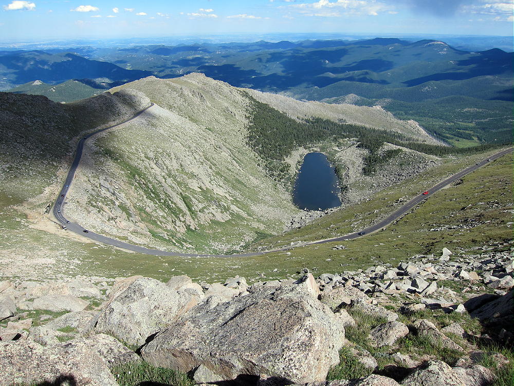
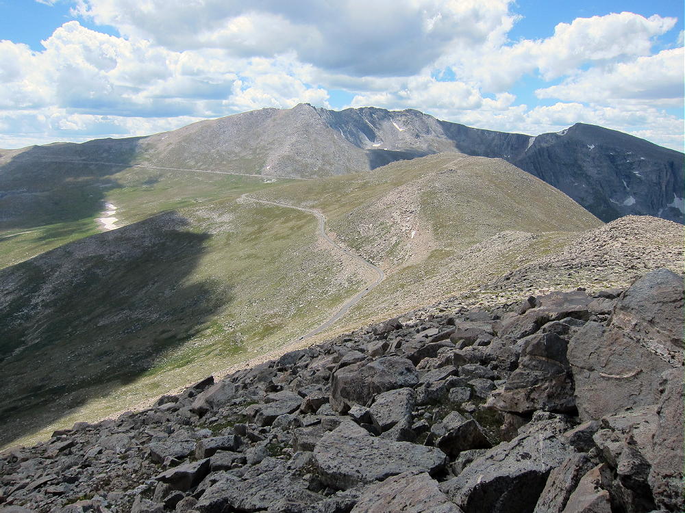
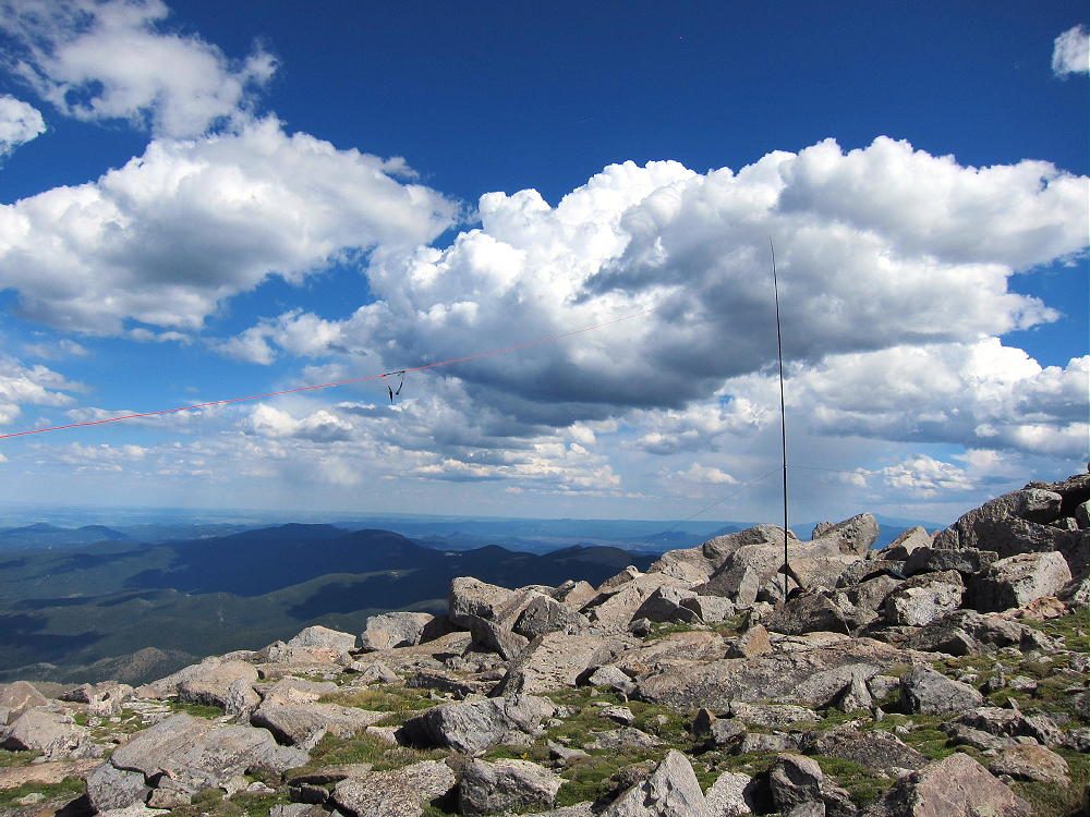
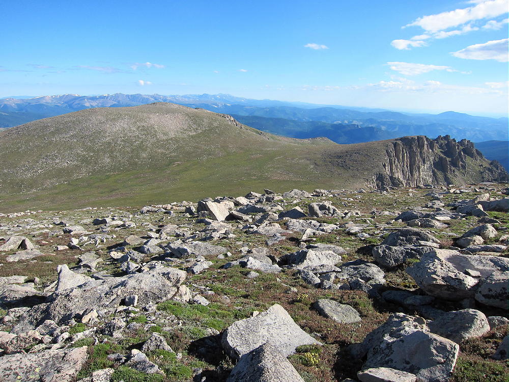
    Near where the road curves around a ridge that leads NW up to northeast side of Rogers, find a place to park off the pavement. Climb up the grassy slope to about 13,000 feet, and then head SW up the ridge to the Rogers Peak summit. The immediate area around the summit is almost flat and very rocky – essentially a boulder field.

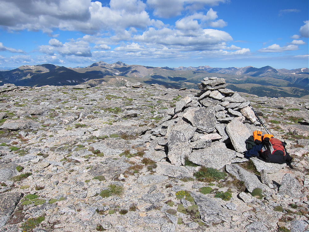
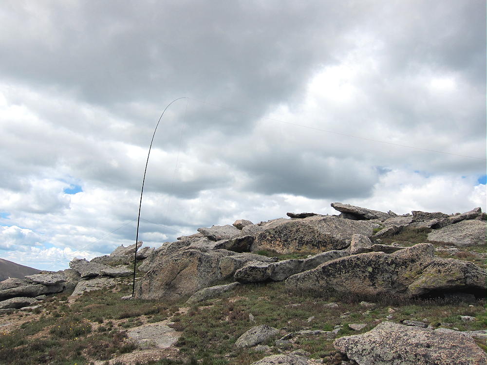
    Rogers Peak Summit
    Rogers Peak Summit

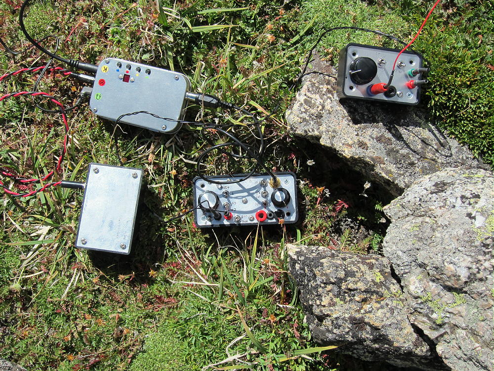
    There are good spots to set up and operate in the activation zone just below and east of the summit. The views are spectacular, and on a good day, Rogers Peak is a great place for a SOTA activation.
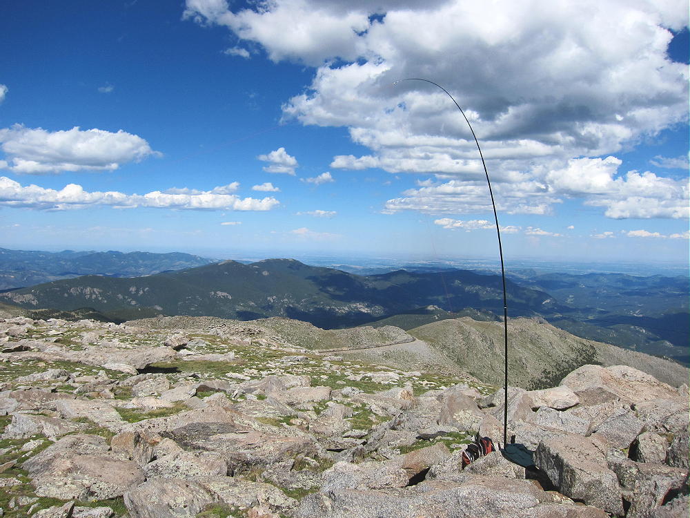
    The southwest ridge of Rogers is shorter to climb from the road, but parking near the obvious saddle is limited.

    Multiple activations in one day are possible in the Mount Evans area. Unless you’re somewhat acclimated to the thin air above 13,000 feet, an extended stay up there may have progressively adverse effects upon your body and brain. Don’t underestimate the effects of high altitude, and head to a lower elevation if you don’t feel well.

    George Carey Fuller

    KX0R


    ATTENTION !! WARNING !! There are old mountaineers, and bold mountaineers… there are no old-bold mountaineers. Hiking and mountain climbing are potentially hazardous activities particularly in Colorado with its extreme elevations. I am not accepting responsibility for any death or injury resulting from activations based on my trip reports. Proper training, experience, and personal capability assessment is required – enjoy!
  • WØC/PR-Ø2Ø (Gray Wolf Mountain) – 4146 m / 13602 ft

    W0C/PR-020
    Gray Wolf Mountain
    4146 m / 13602 ft
    Aug 16, 2014

    By KX0R

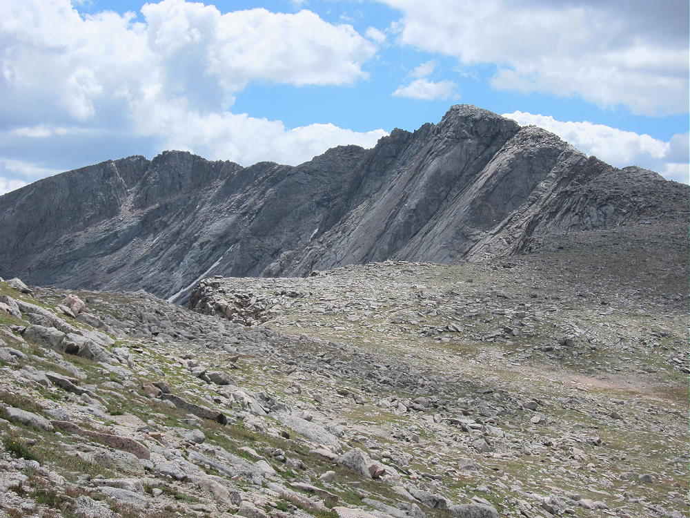
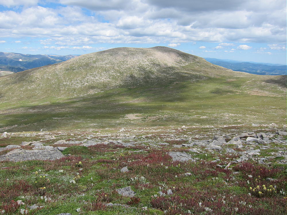
    Gray Wolf Mountain is a high alpine summit located about 2-1/2 miles northeast of Mount Evans. On a nice summer day it’s a pleasant retreat into the wilderness, and it’s also a fine SOTA peak.

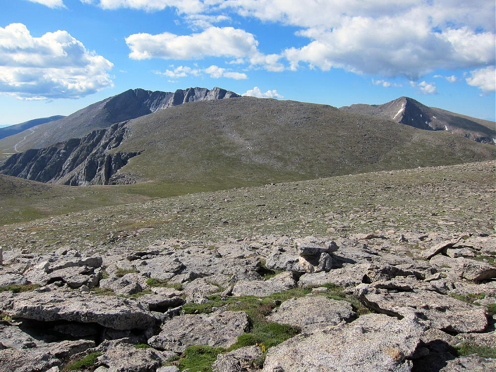
    Gray Wolf Mountain from Mount Spalding
    Gray Wolf Mountain from Mount Spalding

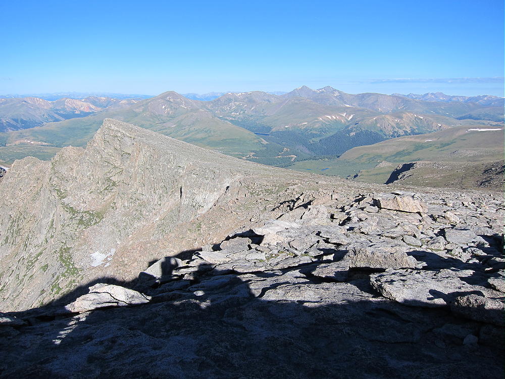
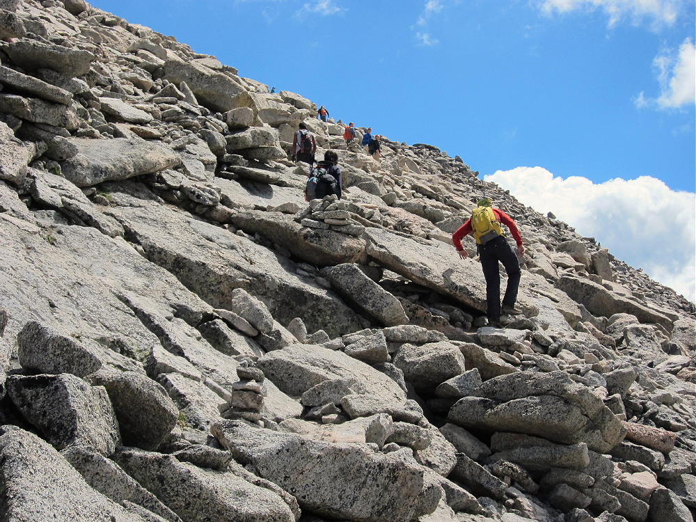
    To climb Gray Wolf, first drive up Mount Evans. Traverse the long rocky West Ridge of Evans – a trail leads through the rocks around the south side of this ridge, and it’s heavily used by hikers on nice days. Follow this trail down to the Evans – Spalding saddle.

    From this saddle you can either follow the trail north over Mount Spalding, or contour around the west side of Spalding. The trail eventually goes down a craggy ridge to Summit Lake, and it’s a popular route for climbing Spalding and Evans.

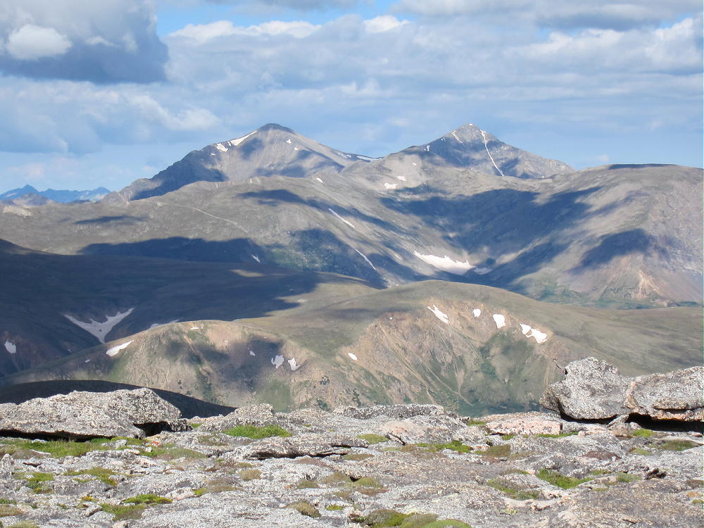
    Mount Evans from Spalding Slopes
    Mount Evans from Spalding Slopes

    Leave the trail and descend about 750 vertical feet north to the Spalding – Gray Wolf saddle at about 13030 feet. The broad saddle area is marshy, so try to pick a dry route. From the saddle, hike north across the tundra, and then climb the easy southeast ridge of Gray Wolf.

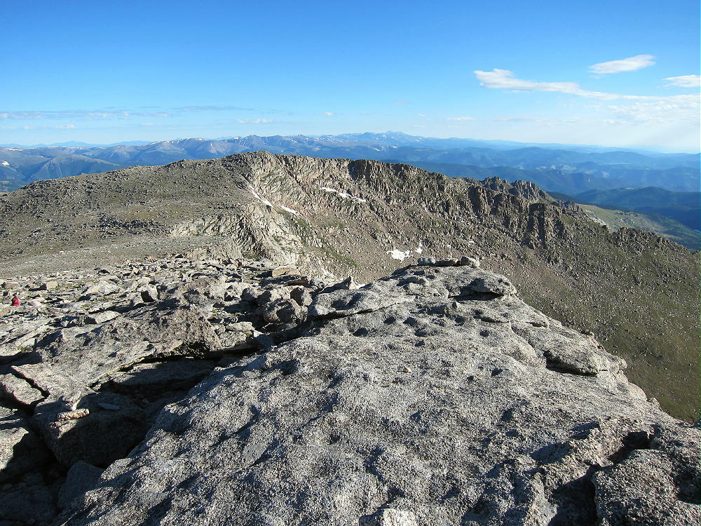
    The summit is broad, rocky, and pleasant; the activation zone is large. Rocks southwest of the top provide shelter from the west wind.

    Gray Wolf is a great radio site – it’s far from man-made sources of RF noise, and it has an open view across the Denver Area, the Plains, and the mountains. Few people visit this summit.

    Gray Wolf Activation
    Gray Wolf Activation

    Even though this hike looks like an easy stroll across the tundra, it requires about 6 total miles of hiking. Most of the route is rough trail or off-trail. The total vertical ascent is about 2000 feet, and the entire trip is above 13,000 feet. Pick a good day for this interesting activation, and start early!

    It looks like the route to Gray Wolf can be shortened by starting at Summit Lake. Hike up the ridge trail northwest of the Lake, climb to the north slope of Spalding, and then leave the trail and head north to Gray Wolf. The total hiking distance is reduced, but the total vertical ascent is still about 2000 vertical feet. I have not climbed up the ridge above Summit Lake, but it looks like an efficient route.

    73

    George Carey Fuller
    KX0R


    ATTENTION !! WARNING !! There are old mountaineers, and bold mountaineers… there are no old-bold mountaineers. Hiking and mountain climbing are potentially hazardous activities particularly in Colorado with its extreme elevations. I am not accepting responsibility for any death or injury resulting from activations based on my trip reports. Proper training, experience, and personal capability assessment is required – enjoy!
  • Antenna Restrictions on Mt. Evans?

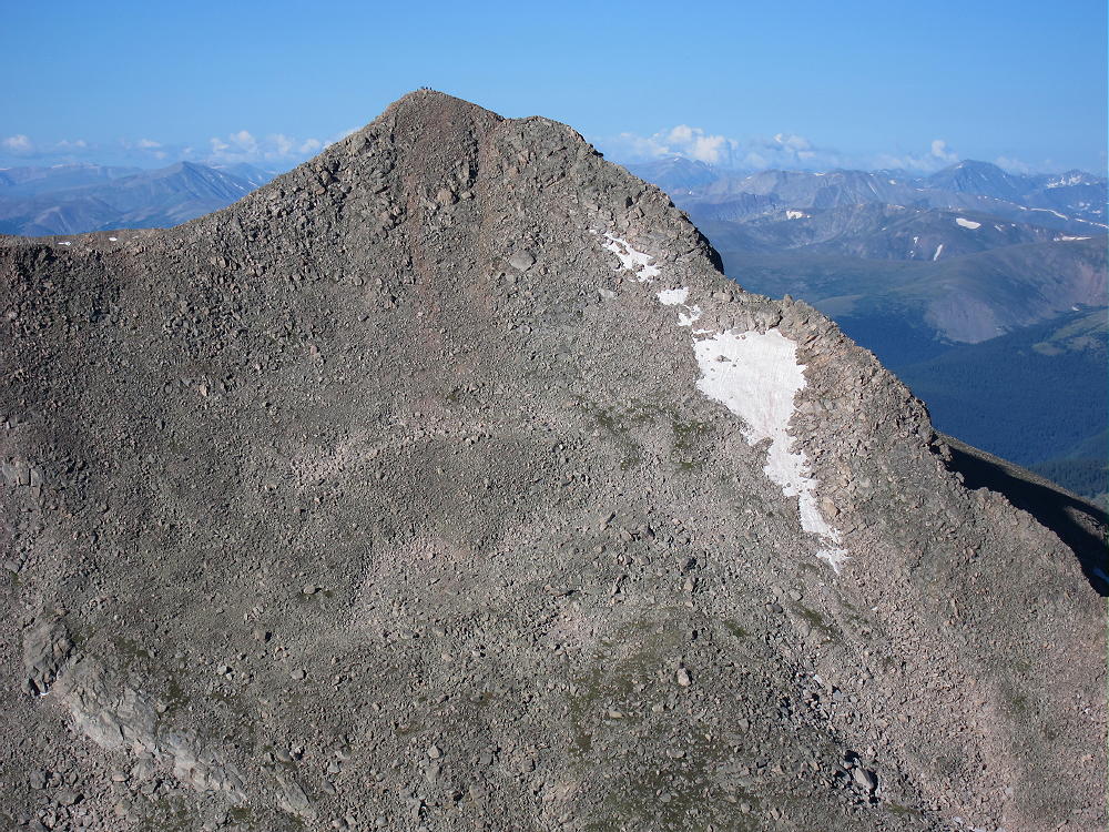
    I activated Mt. Evans for Summits on the Air (SOTA) on July 15th. I took the route from Summit Lake to the top early in the morning since thunderstorms were in the forecast for the afternoon. I had the peak to myself for almost half an hour which was unexpected, considering that there is a road all the way to the top. I setup my vertical Buddipole for 20m and started my activation – so far nothing out of the ordinary besides the bad band conditions due to the recent CME.

    Mt. Evans – BP on the summit

    I was talking to ACØA in Kansas when I spotted a National Forest Ranger running up the path from the parking lot. I could not understand what he was saying since I was

    • distracted by my ongoing QSO and
    • the lack of oxygen combined with his running up the mountain made his signal about a 22, with highly distorted audio.

    He arrived at the summit breathless and stood next to me, courteous enough to let me finish my QSO (or just to catch his breath?). He then introduced himself and  informed me that I have to take down the antenna immediately.

    My first thoughts were that the antenna was considered some sort of a safety hazard for other visitors but NO. The reason is, he informed me, that you cannot build a structure on Nation Forest land without a permit. Sounds like a sensible rule to me…. who wants to see cabins etc. erected on public land everywhere. I argued that my antenna can hardly be considered a structure and my short survey among the few visitors on the summit (~10 people) came to the same conclusion – nobody considered my antenna a structure but he insisted. Furthermore he instructed me to drive to the Clear Creek Ranger District HQ in Idaho Springs to get a permit. Needless to say that I was not planning to make a ~60 mile round-trip to get a permit for my activities. I already had enough contacts for my Mt. Evans SOTA activation and the fact that I had planned another activation for later in the day I did not want to waste my time arguing and started to pack up. Luckily I had my tape-measure YAGI with me for my next activation and I was hoping it would pass the NOT BEING A STRUCTURE test by the National Forest (to make sure I did not ask).

    I tried to follow up with the person in charge for the Clear Creek Ranger District… she is on vacation. Sure glad I did not drive all the way to Idaho Springs.

    GOOGLing, I found Forest Rules You Need to Know, published by the Secretary of Agriculture. On page two, under the chapter OTHER PROHIBITED FACTS it indeed prohibits “Constructing, placing, or maintaining any kind of communication equipment without a special use authorization“. Again, that makes sense to me to avoid that every Tom, Dick and Harry sets up his own repeater on public land… it does however not make sense to me for a temporary, mobile/portable antenna as I was using.

    It would certainly put a damper on SOTA activations and the upcoming 14er event. I am almost certain that on Field Day a lot of antennas go up on NF land.

    I would be interested in your experience and/or opinion and I am planning to follow up with the Clear Creek Ranger District. Maybe I was just dealing with an overly eager Ranger? Stay tuned…

    Matt/KØMOS

    UPDATE: Read the conclusion


    ATTENTION !! WARNING !! There are old mountaineers, and bold mountaineers… there are no old-bold mountaineers. Hiking and mountain climbing are potentially hazardous activities particularly in Colorado with its extreme elevations. I am not accepting responsibility for any death or injury resulting from activations based on my trip reports. Proper training, experience, and personal capability assessment is required – enjoy!