SOTA outings by KØMOS and contributors

Tag: Mosquito Range

  • W0C/SR-061 (Mount Sherman) – 4278 m / 14036 ft

    W0C/SR-061
    Mount Sherman
    4278 m / 14036 ft
    Sep 28, 2016

    By KX0R

    Mount Sherman is a rocky, high, alpine summit in a historic mining area about 10 miles west of Fairplay, Colorado.

    • High altitude hike
    • Very popular 14-er climb
    • Rocky trail goes all the way to the top
    • Spectacular alpine scenery
    • Excellent HF site
    • 4.7 miles round-trip
    • ~2000 vertical feet total
    *** SOTA Classic! ***

    Driving Directions:

    • Drive west on Highway 285, and cross Kenosha Pass
    • Continue west on Highway 285 to Fairplay
    • Drive south from Fairplay about one mile
    • Just past the turn-off for Highway 9, Highway 285 goes up a little hill
    • Turn west at the top of the hill on County Road 18, the Four Mile Creek Road
    • This unpaved road is OK for several miles, but it gets worse as it heads up into the mountains. 4WD is not required, but many parts of the road are rocky and rough.
    • Follow CR 18 up scenic, historic Four Mile Creek, past old mines and mills.
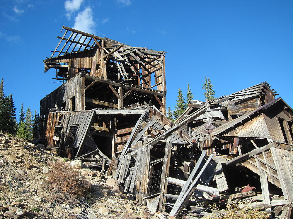
    • The last mile or so is rough and steep. There are many rocks too large for low-clearance vehicles. Some vehicles with medium clearance may make it OK, if driven carefully.
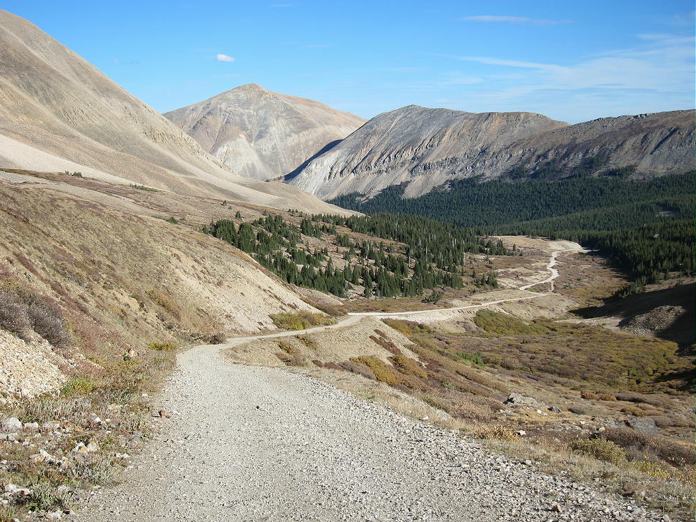
    • Parking lower along the road is possible – some parking is available about one mile down, near 11,600 feet.
    • The road ends at a gate near an old mine; there’s a large parking area.
    • This is the Fourmile Creek Trailhead, also called the Mount Sherman Trailhead.
    • This trailhead is at 12,200 feet
    • It’s about 12 miles from Highway 285 to the trailhead.
    • This is a very popular trailhead, because Mount Sherman is one of the most-climbed 14-ers.

    The Hike:

    • Because of the high altitude, this trip is recommended only for experienced climbers with a high level of physical fitness.
    • Google Maps show none of the trails near Mount Sherman
    • GPS is very useful in this area
    • The hike is relatively simple, but it isn’t marked well with signs, etc.
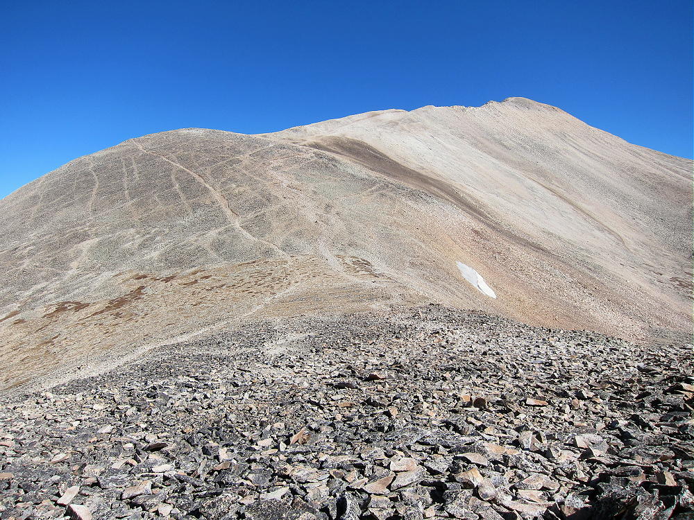
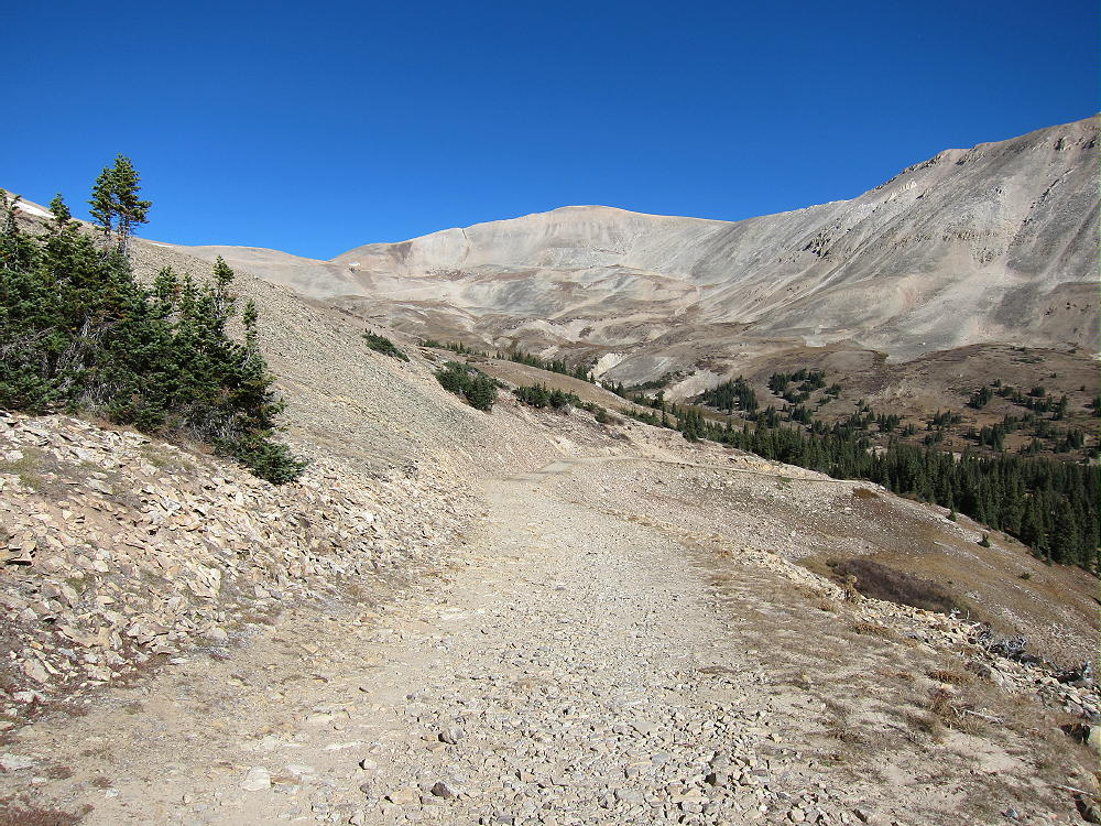
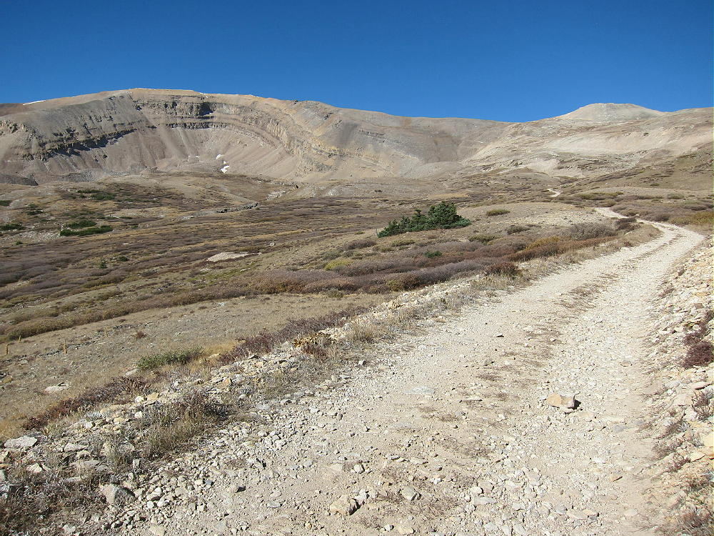
    • Hike up the road past the gate, and stay on the mine road as it ascends mostly north, up past various old mines and historic structures, into a high basin at about 12,900 feet.
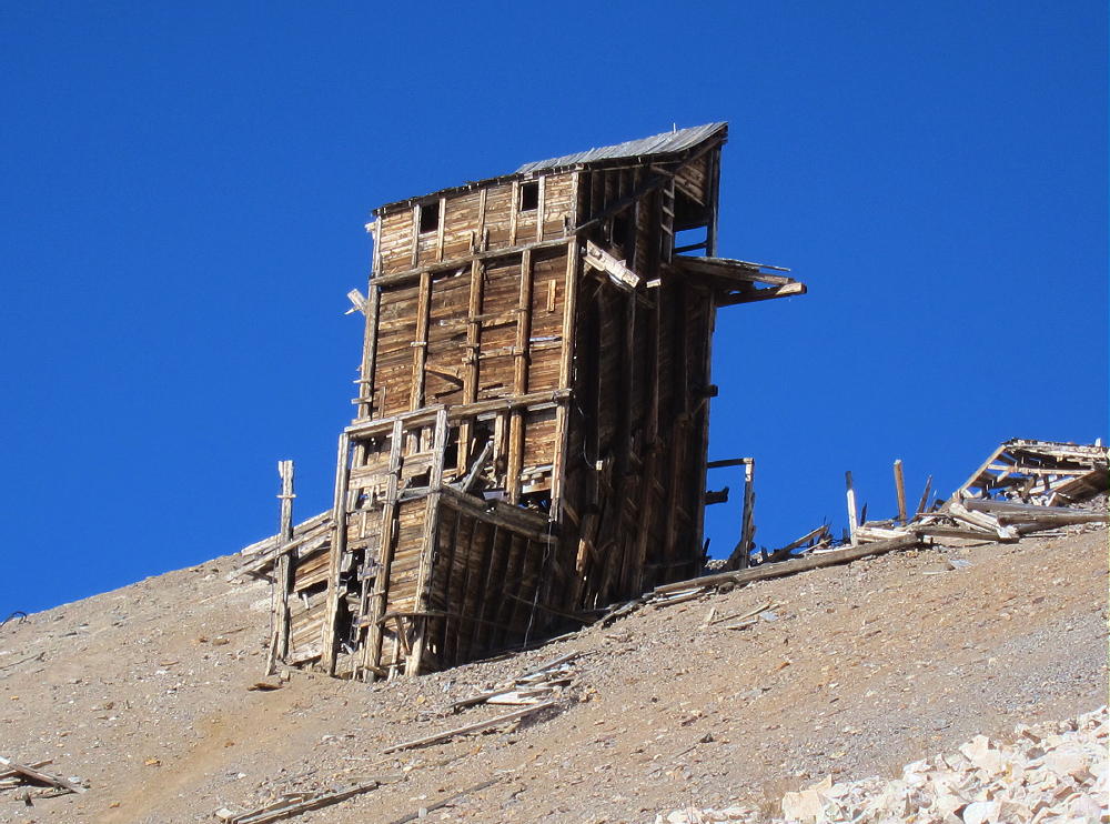
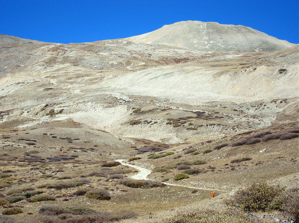
    • A well-used foot trail leads west from the basin at 12,900 feet up to the saddle at about 13,125 feet. There are a few cairns marking the correct route.
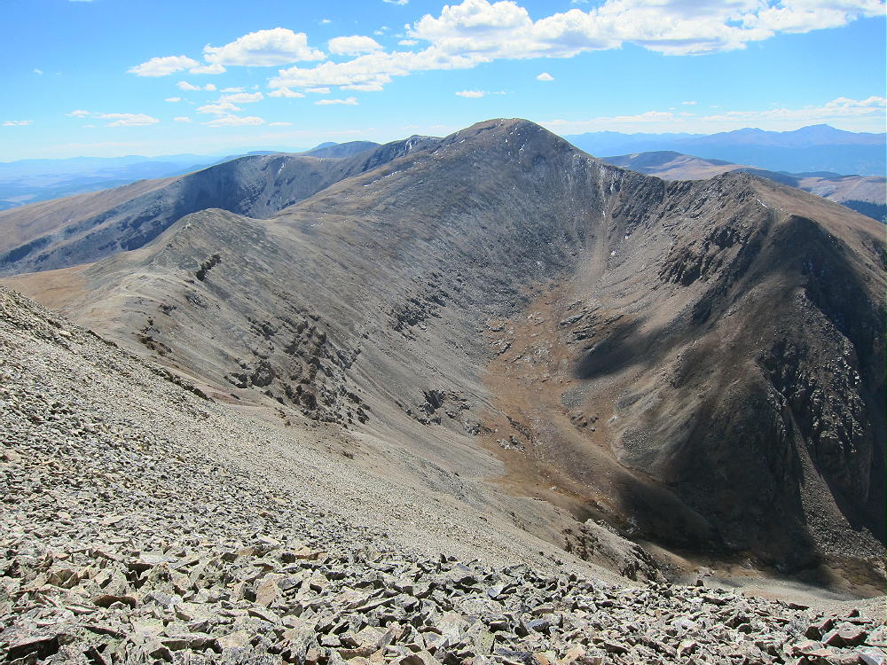
    • At the saddle, Mount Sherman stands high to the northeast; Mount Sheridan stands less high to the southwest.
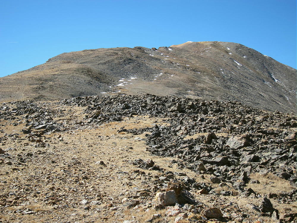
    • Follow the trail northeast up the moderate ridge
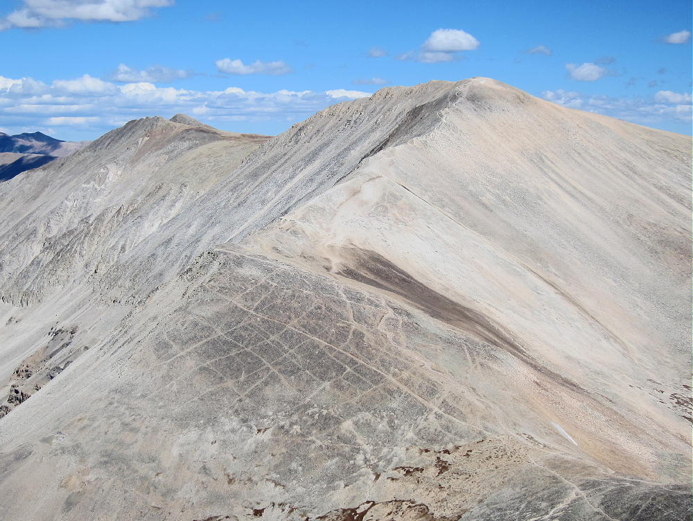
    • Continue climbing up past 13,500 feet, as the ridge narrows and becomes steeper and rougher.
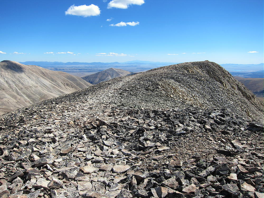
    • At 14,000 feet the trail reaches the long, flat summit ridge.
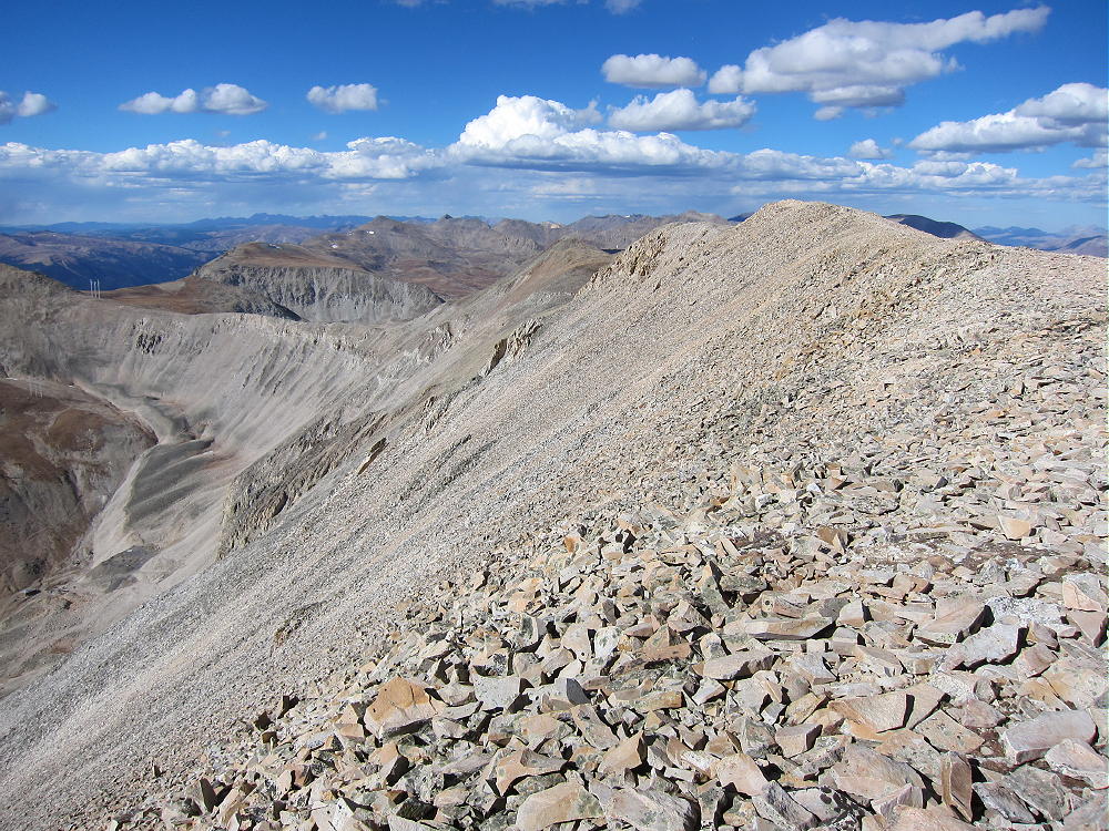
    • The actual summit is near the middle of the ridge.
    • Several rock piles and wind shelters are available.

    Additional Details:

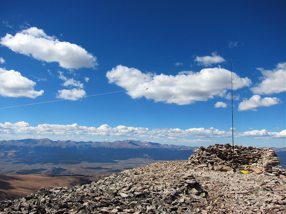
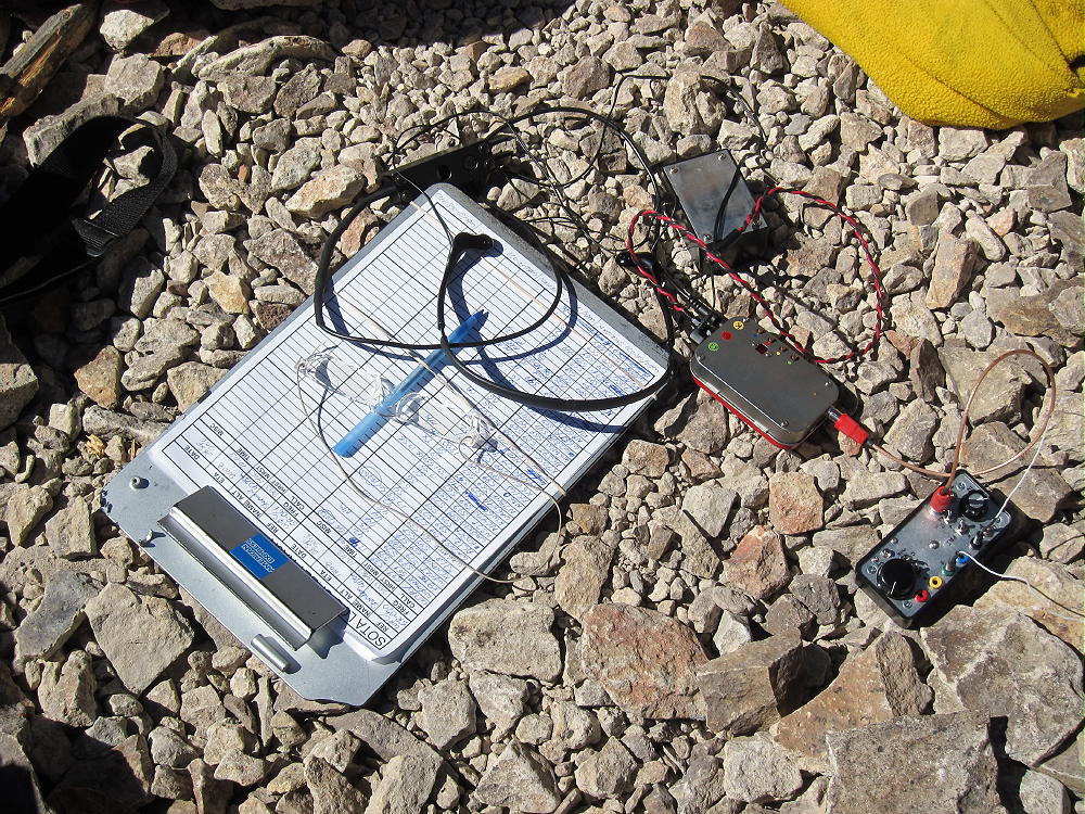
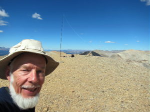
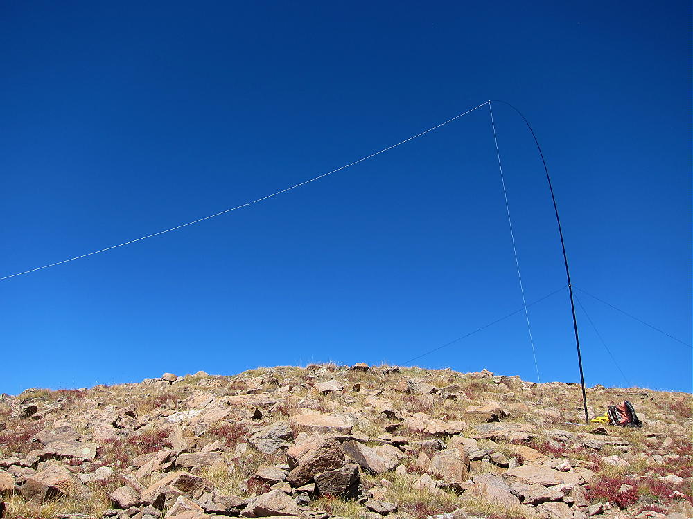
    Unless the wind is extreme, or people are already there, a wind shelter may be a good place to set up radio gear. I had some wind, so I guyed my pole to rocks near a convenient shelter north of the summit. It was easy to run the wire along the ridge and set up my gear in the shelter.
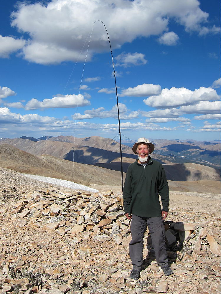
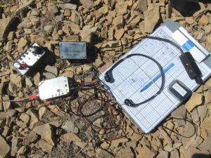
    Mount Sherman is a perfect HF summit. It falls away in all directions, and there are no higher peaks nearby to affect skip signals. There’s little development with AC power nearby, and the RF noise level is very low. I had no problem making 43 CW contacts on three HF bands!

    Sherman is an OK VHF/UHF peak, because it looks out across most of South Park, as well as into parts of the Arkansas Valley. The SOTA page shows many 2M contacts.

    The summit offers great views of numerous peaks and most of South Park. The immediate area near the mountain is impressive – White Ridge extends far out to the east – it’s very bright. Pikes Peak stands alone across South Park, 66 miles to the southeast.
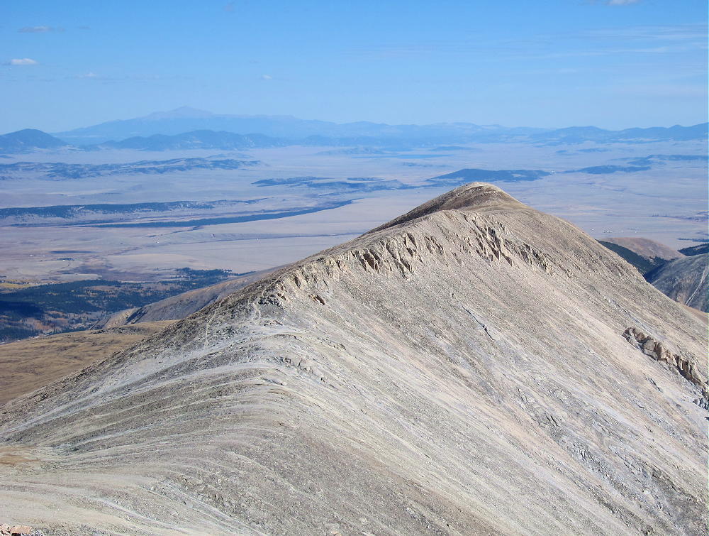
    Other high peaks stand for miles along the top of the Mosquito Range to the north. Mount Sheridan is only about 1.3 mile southwest, and the ridge continues 1.6 miles south to Horseshoe Mountain.
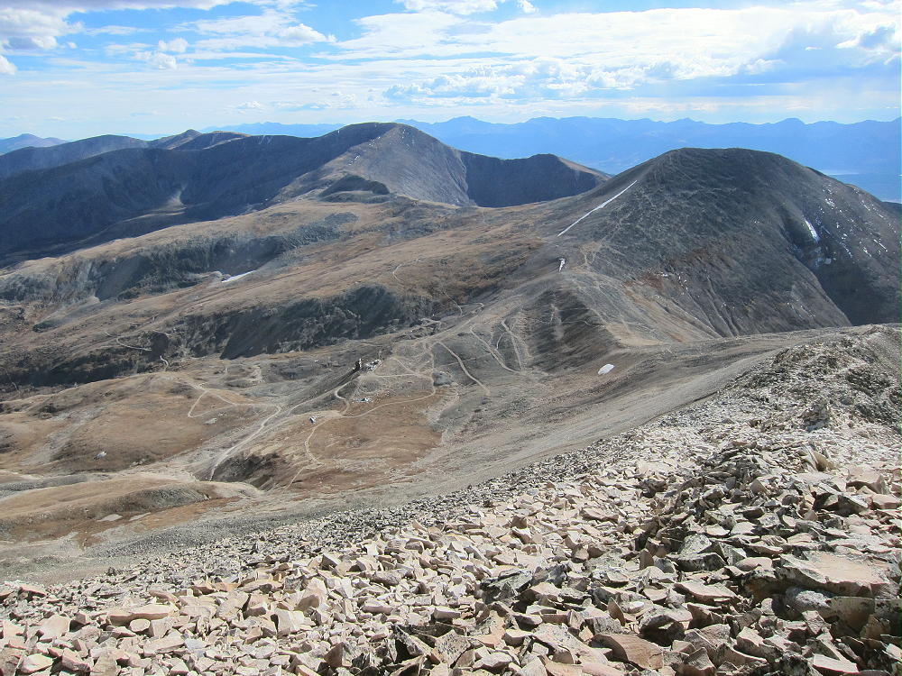
    The ridge stays high for many more miles. It seems like everything in sight is over 4000M! The Sawatch Range isn’t far away, with numerous higher peaks to the west. . Dozens of SOTA peaks are visible.

    Mount Sheridan W0C/SR-070 offers a reasonable dual activation nearby. Activating Sheridan adds about 2 miles and 650 vertical feet to the trip up Sherman. I activated both peaks, but I started with Sheridan. It was a long day, but so nice that there was almost nothing to worry about.
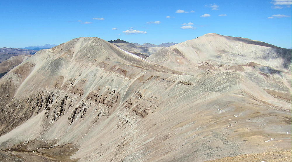
    I saw only a few people on Sherman, mostly because my visit was late in the season. It was perfect weather, with little wind, and sunny all day. It’s incredible to be in such high places with ideal conditions! It was nice to contact so many chasers with my tiny radio!

    Mount Sherman is a SOTA Classic for all the reasons detailed above, and Mount Sherman and Sheridan are a SOTA Classic Dual Activation!

    73

    George
    KX0R

    ATTENTION !! WARNING !! There are old mountaineers, and bold mountaineers… there are no old-bold mountaineers. Hiking and mountain climbing are potentially hazardous activities particularly in Colorado with its extreme elevations. I am not accepting responsibility for any death or injury resulting from activations based on my trip reports. Proper training, experience, and personal capability assessment is required – enjoy!

  • W0C/SR-070 (Mount Sheridan) – 4190 m / 13748 ft

    W0C/SR-070
    Mount Sheridan
    4190 m / 13748 ft
    Sep 28, 2016

    By KX0R

    Mount Sheridan is a rocky, high, alpine summit in the historic mining area about 10 miles west of Fairplay, Colorado.

    • High altitude hike
    • Partially marked route
    • Rocky trail goes all the way to the top
    • Spectacular alpine scenery
    • Excellent HF site
    • ~ 4.5 miles round-trip
    • ~ 1750 vertical feet
    *** SOTA Classic! ***

    Driving Directions:

    • Drive west on Highway 285, and cross Kenosha Pass
    • Continue west on Highway 285 to Fairplay
    • Drive south from Fairplay about one mile
    • Just past the turn-off for Highway 9, Highway 285 goes up a little hill
    • Turn west at the top of the hill on County Road 18, the Four Mile Creek Road
    • This unpaved road is OK for several miles, but it gets worse as it heads up into the mountains. 4WD is not required, but many parts of the road are rocky and rough.
    • Follow CR 18 up scenic, historic Four Mile Creek, past old mines and mills.

    • The last mile or so is rough and steep. There are many rocks too large for low-clearance vehicles. Some vehicles with medium clearance may make it OK, if driven carefully.
    • Parking lower along the road is possible – some parking is available about one mile down, near 11,600 feet, and lower.
    • The road ends at a gate near an old mine; there’s a large parking area.
    • This is the Fourmile Creek Trailhead, also called the Mount Sherman Trailhead.
    • This trailhead is at 12,200 feet
    • It’s about 12 miles from Highway 285 to the trailhead.
    • This is a very popular trailhead, because Mount Sherman W0C/SR-061 is one of the most-climbed 14-ers.

    The Hike and Climb:

    • Because of the high altitude, this hike is recommended only for experienced climbers with a high level of physical fitness.
    • Google Maps show none of the trails near Mount Sherman
    • GPS is very useful in this area
    • The hike is relatively simple, but it isn’t marked well with signs, etc.
    • Hike up the road past the gate, and stay on the mine road as it ascends mostly north, up past various old mines and historic structures, into a high basin at about 12,900 feet.

    • A well-used foot trail leads west from the basin at 12,900 feet up to the big saddle at about 13,125 feet. There are a few cairns marking the correct route.

    • At the saddle, Mount Sherman stands high to the northeast; Mount Sheridan stands less high to the southwest.

    • Follow the trail southwest along the gentle ridge, and then ascend Sheridan by staying on the most visible trail up the rocky ridge.
    • Near the summit, the trail leads up through talus – there are some cairns, including the most exotic ones I’ve ever seen.

    • At the top, the long, flat summit ridge comes into view.
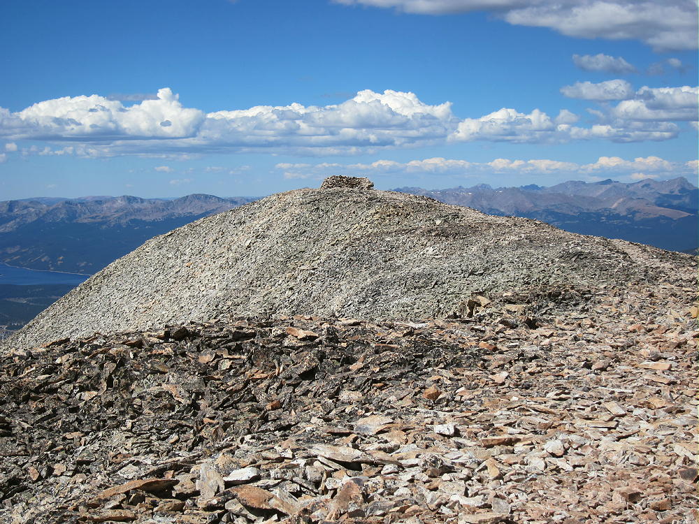
    • The actual summit is at the southeast end of this ridge; a big pile of rocks marks the spot.

    • A large wind-shelter built from rocks stands on the northwest end of the summit ridge, 400 feet from the actual peak.
    • A pleasant stroll along the ridge-top leads to the wind-shelter; fortunately, the entire ridge is well within the SOTA Activation Zone.

    Additional Details:

    Unless the wind is extreme, or people are already there, the northwestern wind shelter is an ideal place to set up radio gear. Just tie the pole to the rock wall, string the wire out along the open ridge, sit down in the shelter, and go on the air. Sometimes high peaks are tricky, but this one is already set up for SOTA!

    Mount Sheridan is a near-perfect HF summit. It falls away in most directions, and except for Mount Sherman to the north, there are no higher peaks close enough to affect skip signals much. There’s no development with AC power nearby, and the RF noise level is very low.

    I had no problem making 38 CW contacts on three HF bands! One of the 20M contacts was summit-to-summit (S2S) with K7NEW on W7W/NO-035.

    Sheridan is a decent VHF/UHF peak, because it looks out across parts of South Park, as well as into part of the Arkansas Valley near Leadville. The peak’s SOTA history shows many 2M contacts.

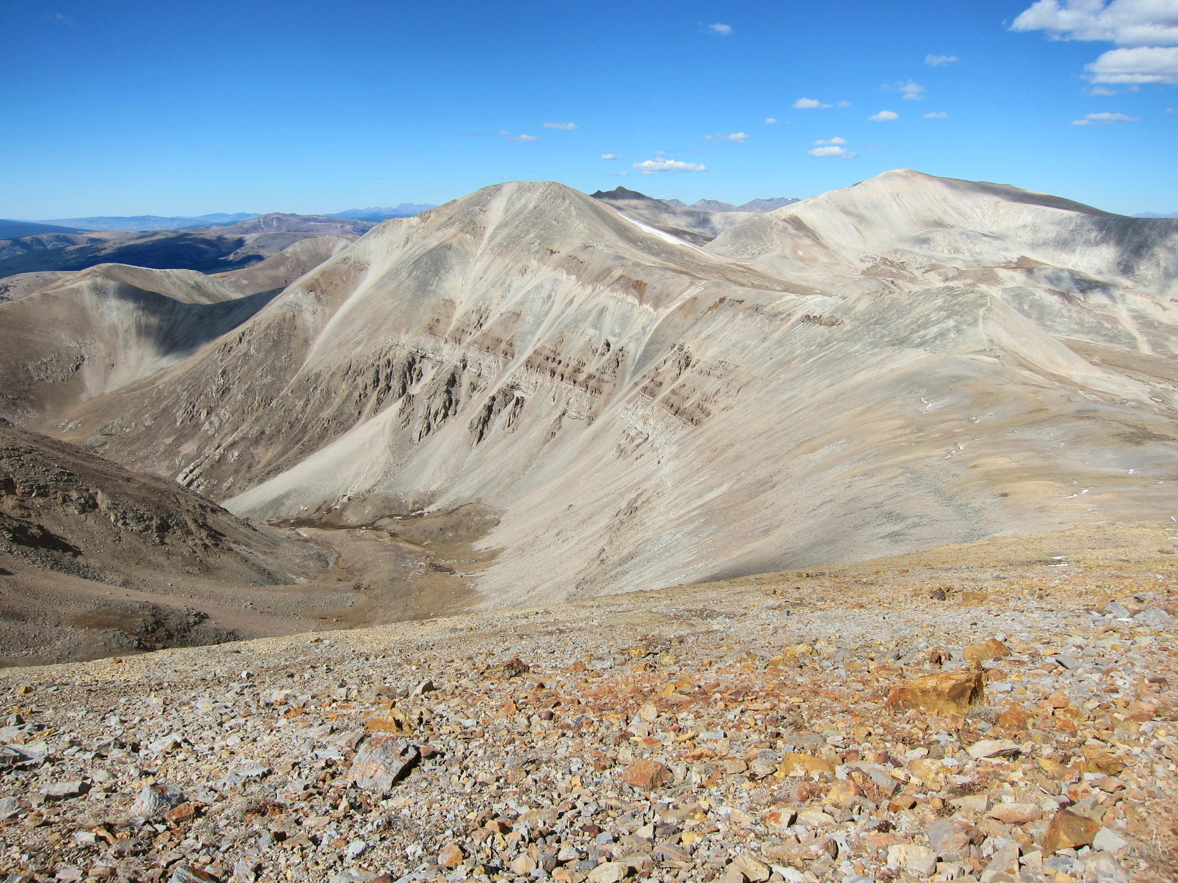
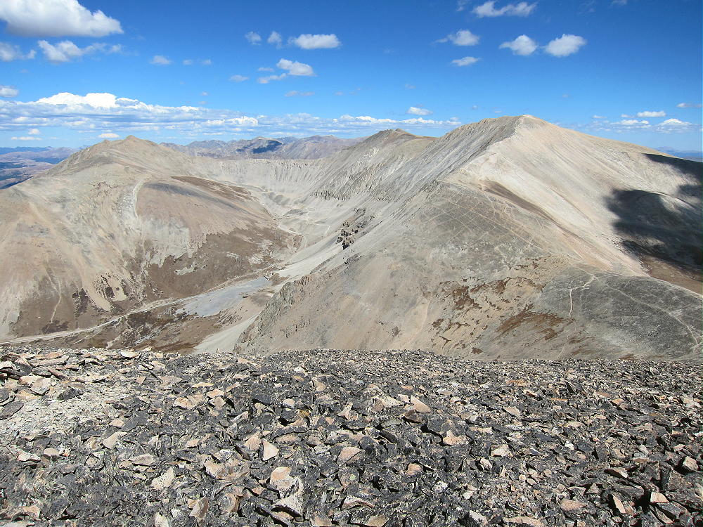
    The summit offers great views of numerous peaks and parts of South Park. The immediate area near the mountain is stunning – Mount Sherman is very bright, almost white, to the north; other high peaks stand for miles back along the top of the Mosquito Range behind Sherman. The high ridge leads south about 1.6 miles to Horseshoe Mountain W0C/SR-064, and then the ridge stays high and continues south for many more miles.

    Many of the peaks in view exceed 4000 M! The Sawatch Range isn’t far away, with numerous higher peaks to the west; and Pikes Peak stands out clearly in the southeast, 66 miles away.

    Mount Sherman W0C/SR-061 offers a reasonable dual SOTA activation nearby. I had no problem hiking down to the saddle at 13,125 feet and then up Sherman via the main trail up the south ridge. It was a long day, but so nice that I had almost nothing to worry about!

    I never saw a soul on Mount Sheridan, mostly because I was there late in the season. The sunny weather was ideal, with little wind all day. It’s incredible to be alone in such places when everything is perfect.

    Mount Sheridan is a SOTA Classic for all the reasons detailed above!  Mount Sheridan and Mount Sherman are a SOTA Classic Dual Activation!

    73

    George
    KX0R


    ATTENTION !! WARNING !! There are old mountaineers, and bold mountaineers… there are no old-bold mountaineers. Hiking and mountain climbing are potentially hazardous activities particularly in Colorado with its extreme elevations. I am not accepting responsibility for any death or injury resulting from activations based on my trip reports. Proper training, experience, and personal capability assessment is required – enjoy!
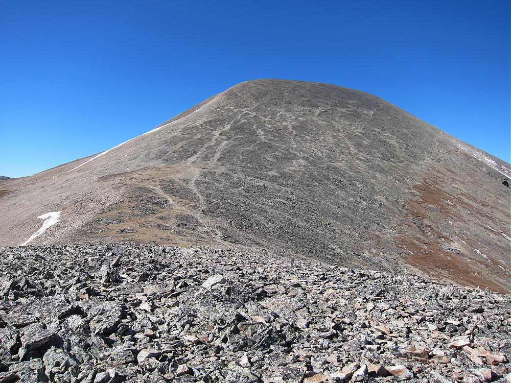
  • W0C/SR-064 (Horseshoe Mountain) – 4236 m / 13898 ft

    W0C/SR-064
    Horseshoe Mountain
    4236 m / 13898 ft
    Sep 27, 2016

    By KX0R

    Horseshoe Mountain is a high, alpine summit in a historic mining area about 10 miles west of Fairplay, Colorado.

    Key Points:

    • High altitude hike
    • No marked route
    • Old mining road ascends part way
    • Rocky path leads along ridge to the top
    • Spectacular alpine scenery
    • Geology field trip
    • Excellent HF site
    • ~ 6 miles round-trip from 11,850 foot parking spot
    • ~ 2050 vertical feet total from 11,850 foot parking spot
    • ~ 4 miles round trip from 12,300 foot parking spot
    • ~ 1600 vertical feet total from 12,300 foot parking spot
    *** SOTA Classic! ***

    Driving Directions:

    • Drive west on Highway 285 and cross Kenosha Pass
    • Continue west on Highway 285 to Fairplay
    • Drive south from Fairplay about 1 mile
    • Just past the turn-off for Highway 9, Highway 285 goes up a little hill.
    • Turn west at the top of the hill on CR 18, the Four Mile Creek Road.
    • Mostly unpaved CR 18 is OK for several miles, but it gets worse as it heads up into the mountains. 4WD isn’t required, but many parts of the road are rocky and rough.
    • Follow CR 18 up historic Four Mile Creek, past old mines and mills, for about 10 miles from Highway 285.


    • At about 11,600 feet, a small, insignificant road, FR-603, leads south across Four Mile Creek.
    • It might be possible to park on the north side of CR 18 near FR-603.
    • FR-603 is an easy 4WD road – it climbs steeply southwest and leads into the Horseshoe Cirque below the summit.

    • FR-603 requires high clearance in spots, but it may be passable in some 2WD vehicles.
    • Most of the land along the first part of FR-603 is private and is posted.
    • It’s possible to park along the road past the posted land.
    • FR-603 improves as it enters the Horseshoe.
    • There’s a good parking spot at about 12,300 feet overlooking a small lake.

    The Hike:

    • Because of the high altitude, this trip is recommended only for experienced hikers with a high level of physical fitness.
    • Google Maps show none of the trails near Horseshoe Mountain.
    • GPS is very useful in this area.
    • The hike is simple, but it isn’t marked well with signs, etc.
    • From the 4WD parking spot at 12,300 feet, hike up the mine road as it continues steeply up switchbacks and climbs the ridge north of the peak.

    • If you have a serious 4WD vehicle, you may be able to drive up as high as 13,000 feet.
    • Hike up the remains of the road to the saddle on the ridge at 13,200 feet.


    • An unmarked faint path leads south and climbs up the moderate ridge about 0.8 miles to the summit area.
    • A rock-pile is near the summit, but there’s no wind shelter.

    Additional Details:

    The part of the summit ridge above 13,800 feet is about ½ mile long. The SOTA Activation Zone is perhaps 2000 feet long and is relatively flat. As long as the wind is not too strong, you can set up radio gear anywhere that’s convenient.
    The weather was perfect when I climbed up Horseshoe Mountain. With only a breeze, I guyed my pole and set up on top.

    Horseshoe Mountain is a perfect HF summit. It falls away in all directions, and there are no higher peaks nearby to affect skip signals. There’s no development nearby, and the RF noise level is very low.

    I had no problem making 43 CW contacts on four HF bands! I logged three DX contacts:

    F6HKA in France               20M
    ZL1BYZ in New Zealand    20M
    ZL1BYZ in New Zealand    17M

    I also made three summit-to-summit (S2S) contacts:

    W4EON    W4V/HB-020    20M
    WA9STI    W6/CC-002     30M
    NS7P       W7O/CM-072   30M

    Horseshoe is fair VHF/UHF peak, because it looks out across most of South Park, as well as into parts of the Arkansas Valley. The history for the peak shows many 2M contacts.

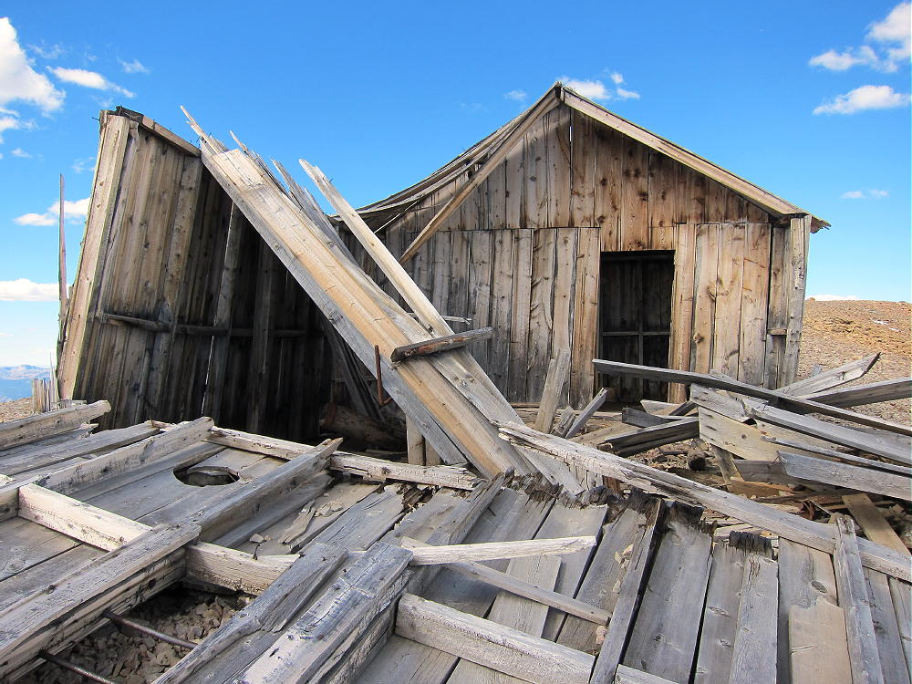
    The weathered remains of a house stand on the summit ridge about 1000 feet north of the peak. This house is within the activation zone, and the structure could be used for shelter from wind, but be careful of nails, etc.

    The summit offers great views of numerous peaks and most of South Park. Mount Sheridan and Mount Sherman stand to the north, and other high peaks are visible along the top of the Mosquito Range in both directions.

    The Sawatch Range isn’t far away, with numerous 4000+M peaks to the west; and Pikes Peak stands out clearly in the southeast, 66 miles away. Dozens of SOTA peaks are visible.

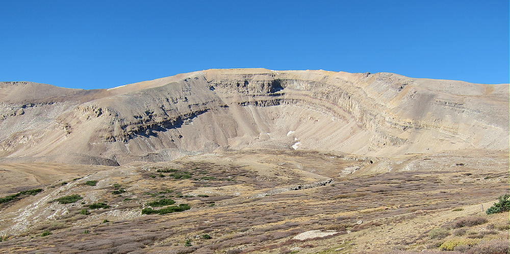
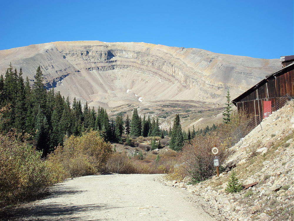
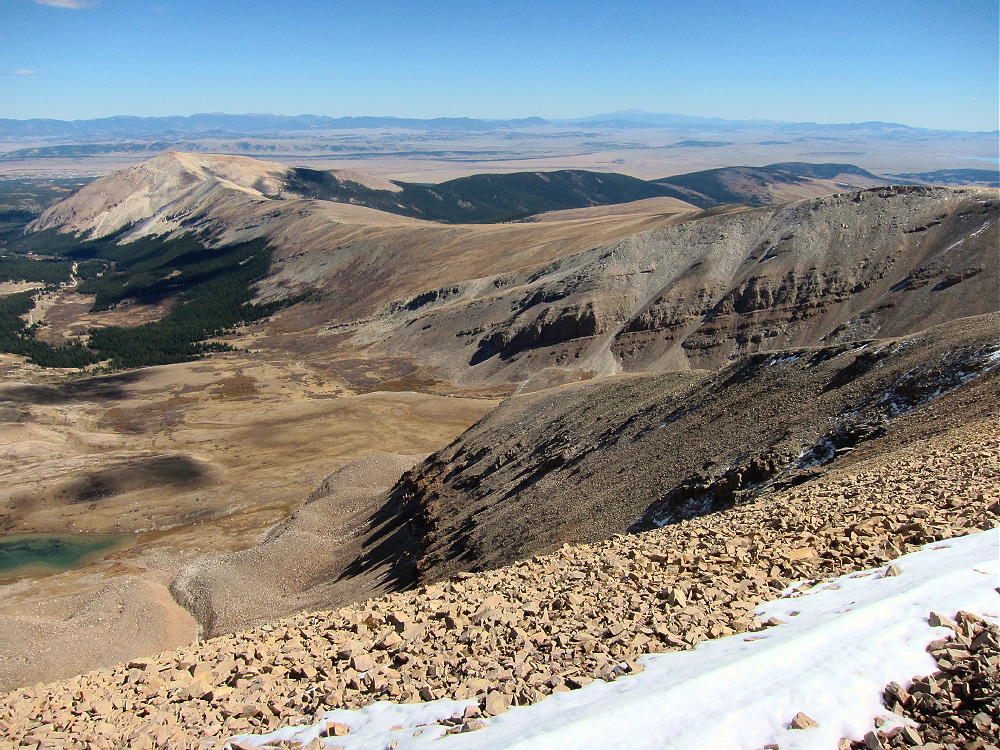
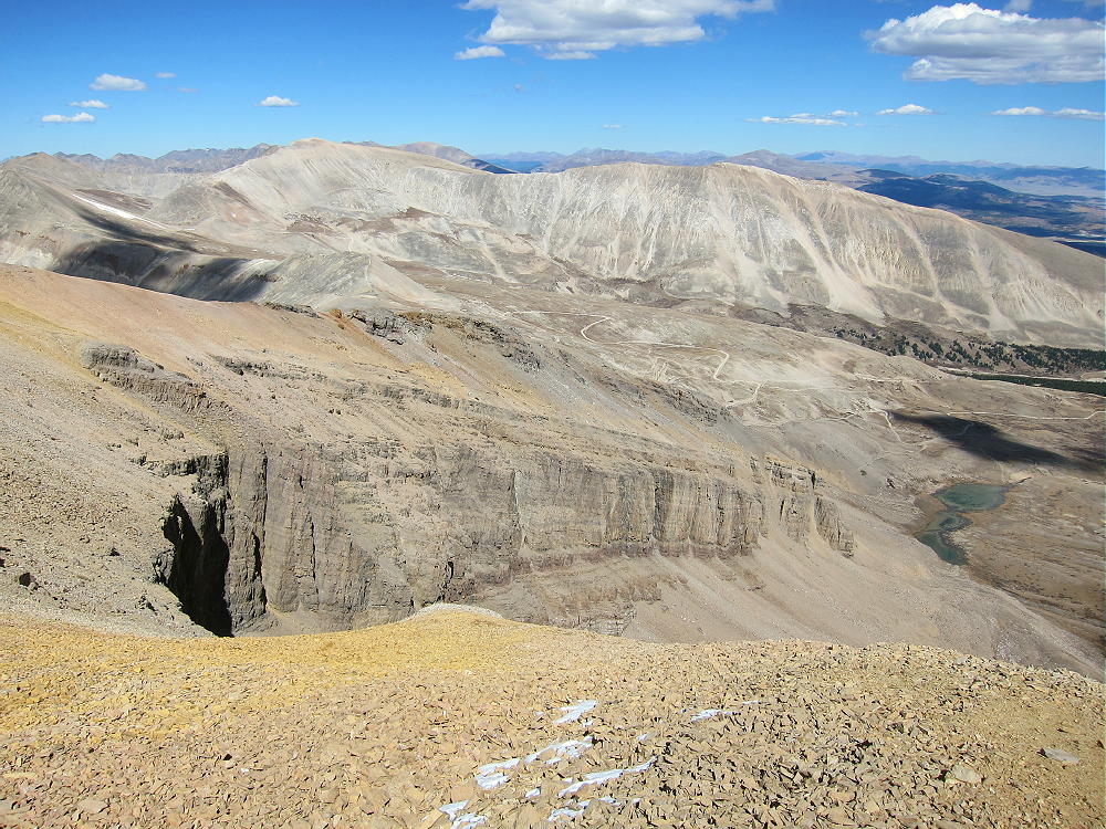
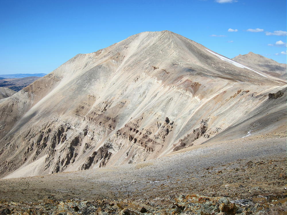
    The horseshoe-shaped mountain is spectacular when viewed both from the cirque, as well as from the summit. This mountain is actually a glacially-sculpted sedimentary hogback ridge. The tilted bedded rocks date from hundreds of millions of years ago, and there’s limestone right on top of the peak!

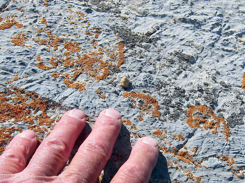
    The cirque is eroded deeply enough that the whole sequence of rocks is visible. There are many examples of mineralized rock along the route, as well as numerous mines and prospect holes all over the mountain. The colored sedimentary layers are visible for miles along the west side of the Mosquito Range, and elsewhere in the area.

    I saw no one when I was on the Horseshoe or in the Cirque. It’s amazing to visit and enjoy such a huge, spectacular place when everything is perfect. It was nice to have so many chasers calling on my tiny radio!

    Horseshoe Mountain is a SOTA Classic for all the reasons detailed above.

    73

    George
    KX0R


    ATTENTION !! WARNING !! There are old mountaineers, and bold mountaineers… there are no old-bold mountaineers. Hiking and mountain climbing are potentially hazardous activities particularly in Colorado with its extreme elevations. I am not accepting responsibility for any death or injury resulting from activations based on my trip reports. Proper training, experience, and personal capability assessment is required – enjoy!
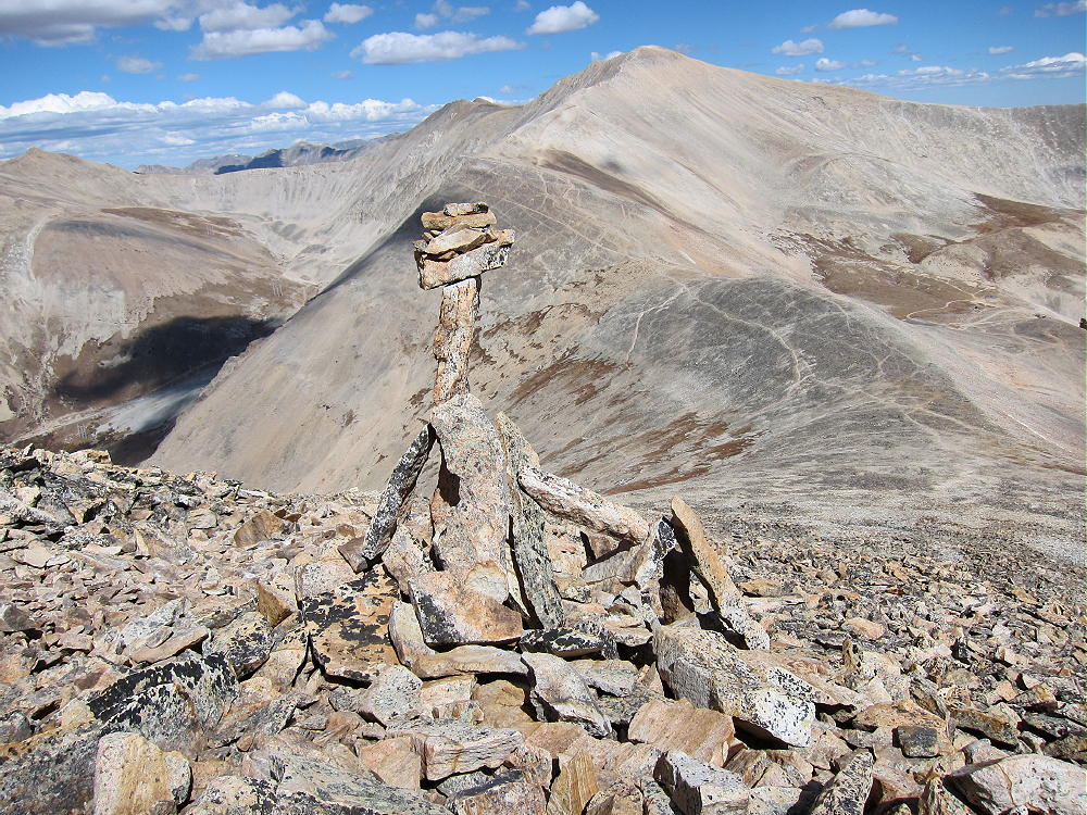
  • W0C/SR-111 (South Peak) – 3930 m / 12892 ft

    W0C/SR-111
    South Peak
    3930 m / 12892 ft
    Sep 9, 2016

    By KX0R

    South Peak is a fun alpine SOTA peak in the Mosquito Range south of Weston Pass.

    San Isabel National Forest
    • Moderate hike at high altitude
    • An old road goes part way
    • Off-trail route to the summit
    • Superb scenery – nice alpine area
    • Excellent HF site
    • 4.6 miles round-trip
    • ~1000 vertical feet

    Driving access:

    • Drive up 285 and cross Kenosha Pass
    • Stay on Highway 285 past Fairplay
    • Drive south on 285 from Fairplay about 5 miles, and turn west on CR 5
    • Follow bumpy dirt 2WD road CR 5 for about 7 miles to CR 22
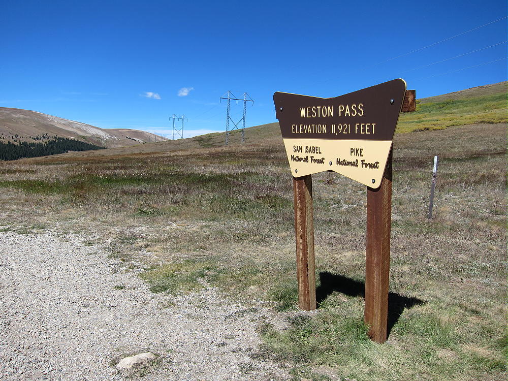
    • Drive rough dirt 2WD CR 22 about 9 miles up to Weston Pass at 11921 feet
    • The last lumpy mile of this road is too rough for some cars
    • Park at the Pass

    The Hike:

    • Hike south from the Pass on an old road
    • The road climbs right along the ridge
    • Follow the road up and across a broad hill at about 12,480 feet

    • Stay on the 2-rut track as it descends southwest
    • Leave the track south of the willows, and head west toward the south ridge of South Peak


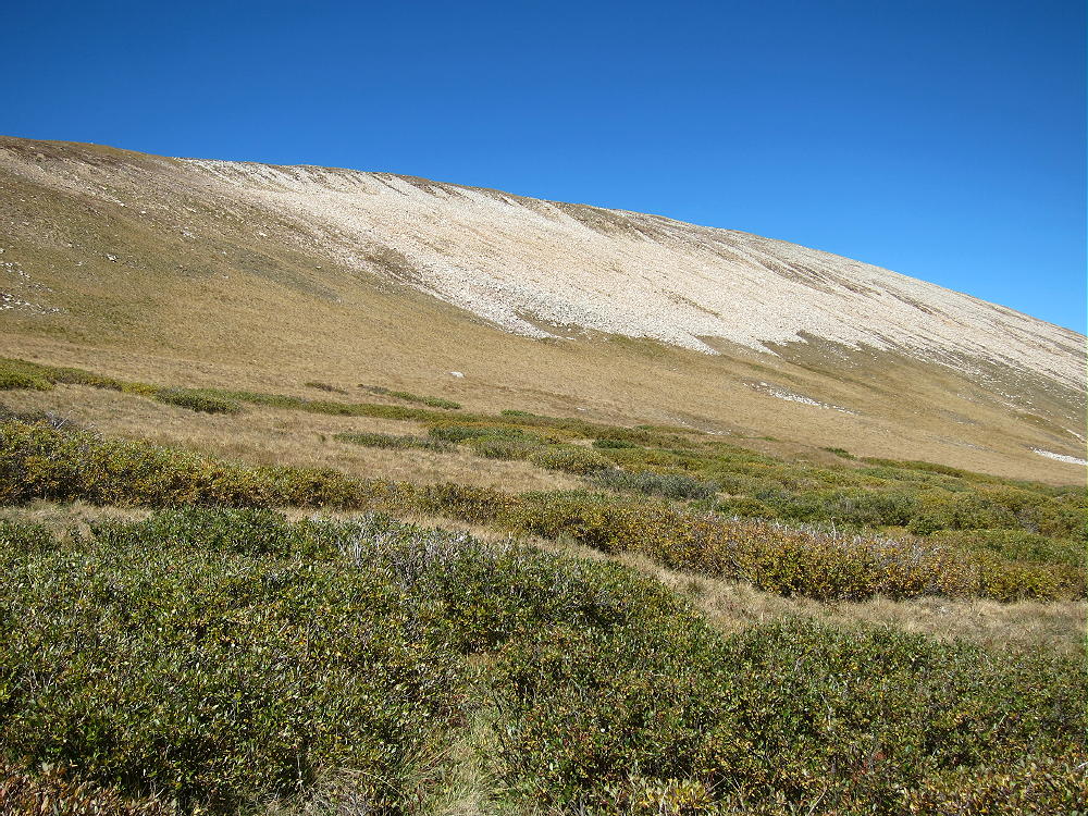
    • Climb up the gentle ridge, well south of the talus slopes
    • Hike north across tundra and rocks about ½ mile to the summit

    Additional Details:

    The hike to South Peak isn’t very steep or difficult, but it requires some time at high altitude. The entire route is across open tundra, and there’s no shelter available; this ascent is best done on a good dry day.

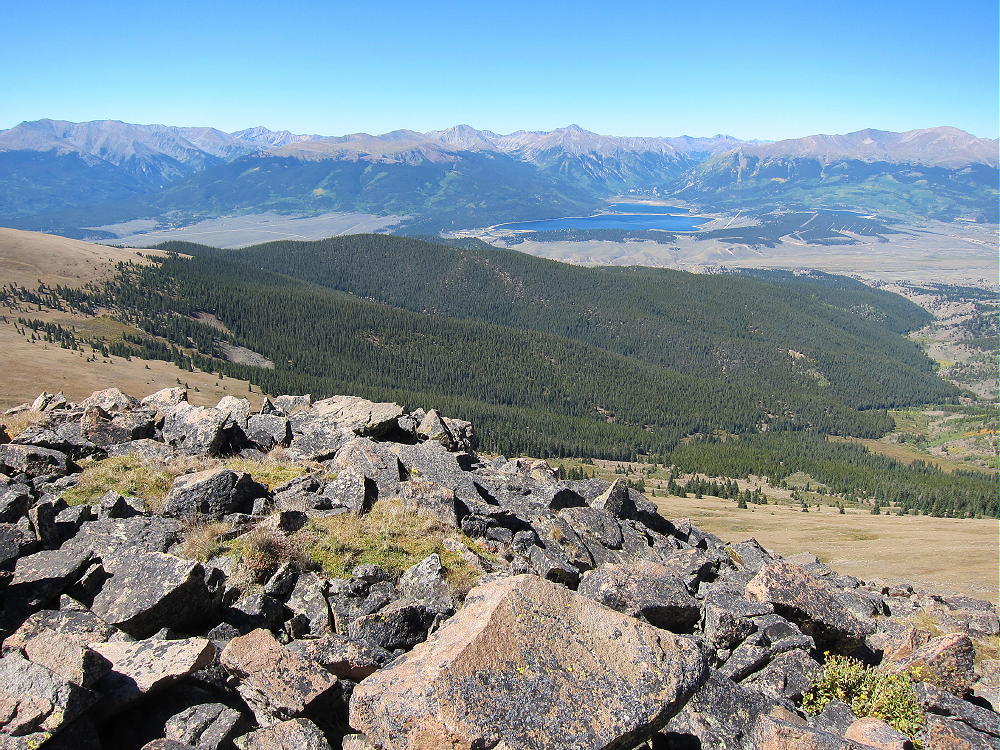
    The peak has great views of the Buffalo Peaks, Twin Lakes, Mount Elbert, the Sawatch Range, and the Arkansas River Valley. The summit is a small high point on a vast elevated area, so it may be a bit of a surprise.

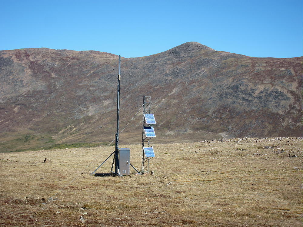
    A small solar-powered communications facility stands about 200 feet to the northeast.

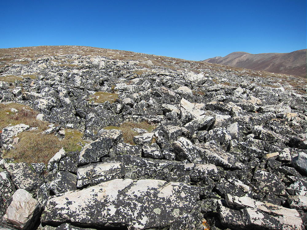
    Most of the rocky summit ridge is composed of tilted Sawatch quartzite, metamorphic sedimentary rock deposited about 500 million years ago. Both white blocks and reddish layers are visible along the ridge.

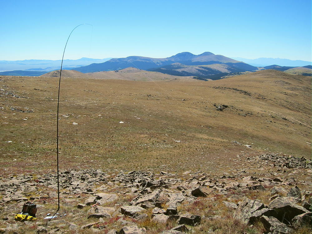
    South Peak is an excellent radio site. It’s the highest point in the area, so it’s a fine HF summit. No trees grow so high, so bring a pole and be prepared to guy it. The HF noise level is very low, and there seems to be no interference from the communications facility nearby. VHF/UHF coverage is probably good across South Park and parts of the local Arkansas River Valley.

    73

    George
    KX0R


    ATTENTION !! WARNING !! There are old mountaineers, and bold mountaineers… there are no old-bold mountaineers. Hiking and mountain climbing are potentially hazardous activities particularly in Colorado with its extreme elevations. I am not accepting responsibility for any death or injury resulting from activations based on my trip reports. Proper training, experience, and personal capability assessment is required – enjoy!