W0C/PR-095
10854
3302 m / 10854 ft
Sep 1, 2014
First Activation
by KX0R
Summits 10854 and nearby 10626 can be combined for an easy 12-point day. The SOTA and Google maps are OK for these two peaks.
To access these summits, drive to Tabernash south of Winter Park via US Highway 40. Just south of Tabernash, turn right, north, and follow marked route 84 (USFS 129) up a canyon several miles to Meadow Creek Reservoir. This area is part of the Arapaho National Recreation Area, and a fee may be required for entry and parking. There is a convenient kiosk before the dirt road climbs all the way to the reservoir.
Meadow Creek Reservoir offers fishing, dispersed camping, and access to the west side of the Indian Peaks Wilderness. It’s a nice place.

To reach the trailhead for 10854, drive around Meadow Creek Reservoir, head south around the east side, and continue to the southwest on winding FR 129. This road is bumpy, but not steep, and it’s passable in most cars.
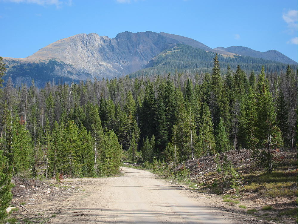
Roughly 2-1/2 miles from the Reservoir, the road reaches 10,500 feet on the east side of the summit ridge of 10854. The mountain has a long north-south ridge, and there are several ways up. FS-129 does not go up across the ridge, but it winds around the north side of the mountain. Park at an un-signed gated jeep road on the east side of the mountain, on the west side of the road; this road leads directly up to the ridge. If you continue on FS 129, you will end up farther from the summit, so park at the gate and consider that the trailhead.
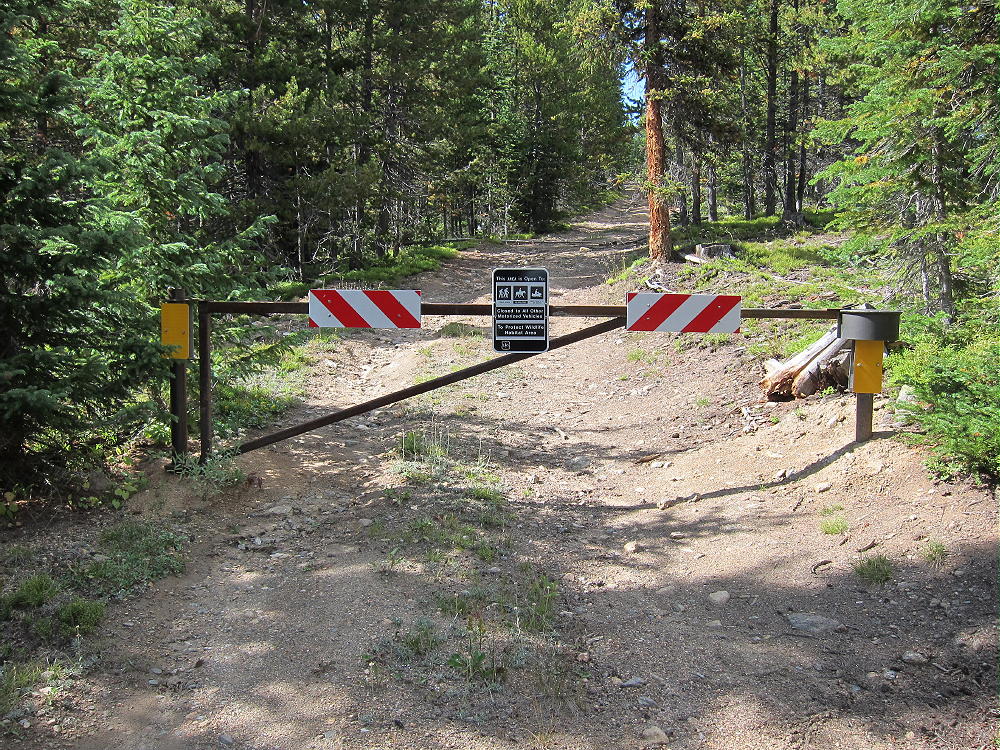
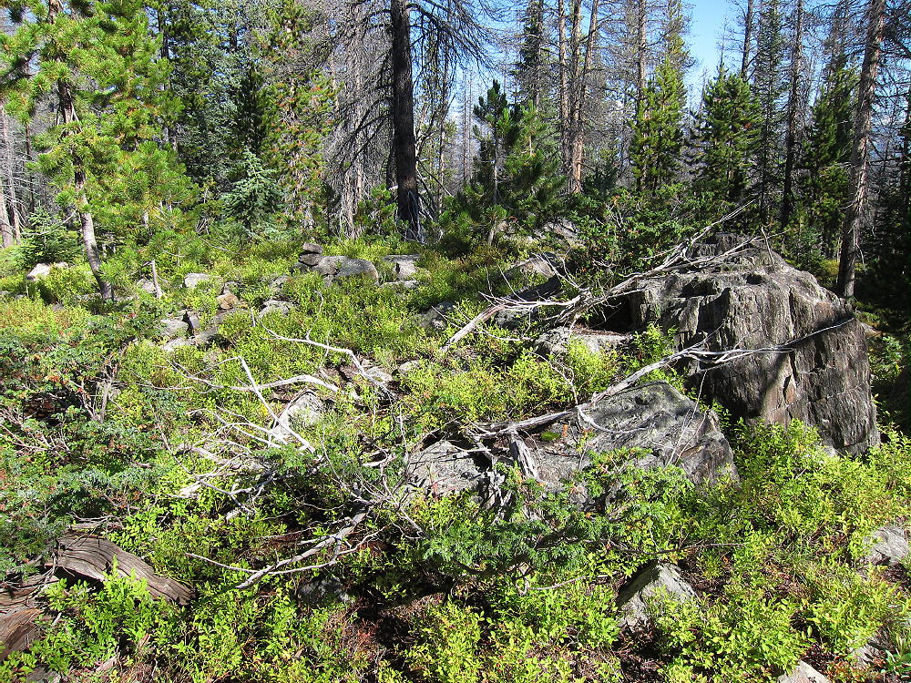
Hike up the closed road to the ridge and head south on a path through open forest and meadows. You can continue on the jeep road if you wish, but leave the jeep road and hike along the ridge-top when the road veers slightly down and right. It’s about half a mile south along the ridge to the actual peak – a good game trail is available. Pass a couple of false summits before the real peak, which is a distinctive rocky knob in the woods.
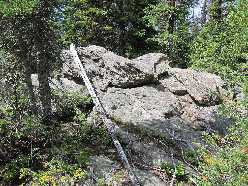
The summit has a pile of rocks with a jar and paper for signatures. The total hike is about a mile, with about 350 feet of vertical gain.
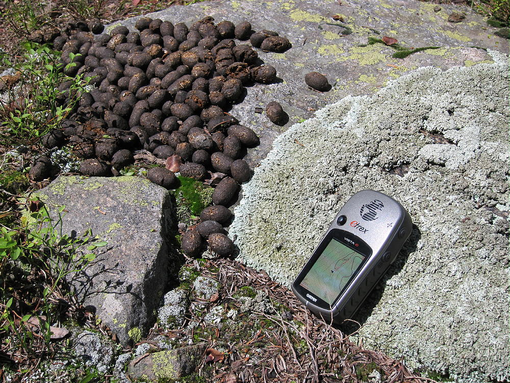
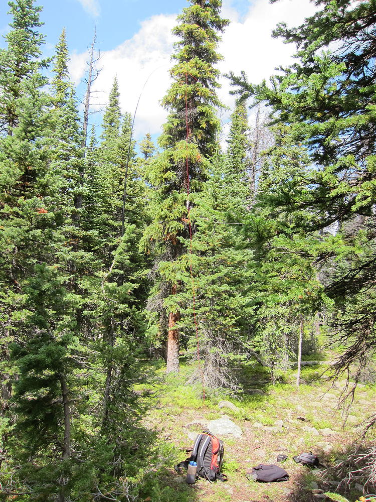
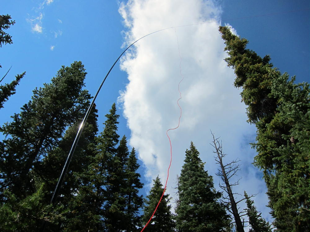
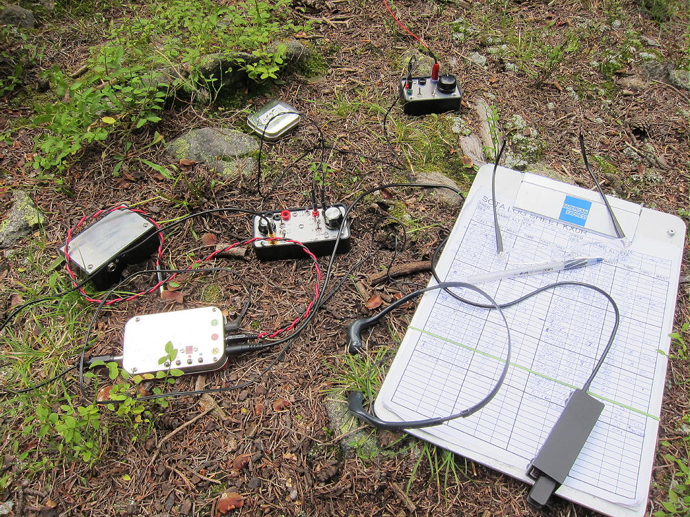
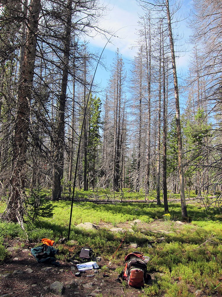
The heavily-forested activation zone is large, so it’s not necessary to operate near the summit. There are many trees, so a pole is not required, if you can erect an antenna in a tree. There are campsites on the ridge, although it looks like a dangerous site if lightning threatens. This peak is one of the easiest 6-point summits in Colorado, and it’s a pleasant place to activate on a good day!
A camping/fishing trip at Meadow Creek Lake could be combined with the dual activation of 10626 and 10854 for a nice 2-day outing. Other SOTA peaks are located within easy driving range.
See W0C/PR-104 (10626) for the other half of this dual activation.
73
George Carey Fuller
KX0R
 !! WARNING !! There are old mountaineers, and
bold mountaineers… there are no old-bold mountaineers.
Hiking and mountain climbing are potentially hazardous activities particularly in Colorado with its extreme elevations. I am not accepting responsibility for any death or injury resulting from activations based on my trip reports. Proper training, experience, and personal capability assessment is required – enjoy!
!! WARNING !! There are old mountaineers, and
bold mountaineers… there are no old-bold mountaineers.
Hiking and mountain climbing are potentially hazardous activities particularly in Colorado with its extreme elevations. I am not accepting responsibility for any death or injury resulting from activations based on my trip reports. Proper training, experience, and personal capability assessment is required – enjoy!