SOTA outings by KØMOS and contributors

Tag: Laramie Mountains

  • W0C/FR-171 (Green Mountain) / 2818 m / 9245 ft

    W0C/FR-171
    Green Mountain
    2818 m / 9245 ft
    First Activation
    Nov 13, 2016

    By KX0R

    Green Mountain is a relatively easy, fun SOTA peak in the Laramie Mountains of Northern Colorado.

    Key Points:

    • Access via Roosevelt National Forest
    • Dead Tree State Wildlife Area
    • Gentle climb to a pleasant, prominent summit
    • Nice scenery
    • Fine HF site
    • Long dirt road access
    • Forest road runs close to the peak
    • Google Maps don’t show the road access adequately
    • Beware of hunters in fall
    • ~ 1.6 miles round-trip
    • ~ 250 vertical feet
    Driving Directions:

    • Start up Highway 287 northwest of Fort Collins
    • Drive about 23 miles from the northern edge of Fort Collins
    • Turn west on Cherokee Park Road 80C
    • This road is a pretty good 2WD dirt road
    • It gets rougher and steeper as it climbs into the mountains
    • Drive northwest on Road 80C for about 28 miles
    • Turn north on FR 315 – the junction is marked by a sign.
    • Drive northeast about 1.9 miles and ascend about 600 vertical feet
    • FR 315 is a small 2WD road – too rough for many cars
    • Park slightly west of the high point of the road, between 8940 and 9000 feet
    • There’s no trail or marked trailhead

    The Hike:

    • The route is up the southeast slopes of Green Mountain
    • Study the satellite image and the topo map
    • GPS is strongly recommended for this hike
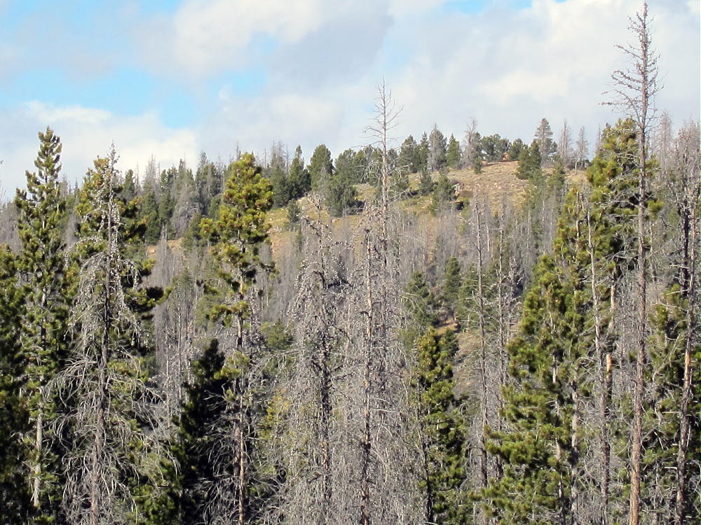
    • The peak is the highest summit of many sub-peaks, several of which are above 9200 feet, on a long forested ridge running WSW-ENE
    • Be sure you climb the correct summit
    • Hike through meadows in a logged area, first north, and then west
    • Short-cut through some thick remaining stands of trees, or go around them on the east side
    • Climb the southeast side of the peak
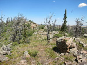
    • This route’s fairly open, with good game trails running right up to the top
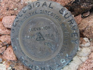
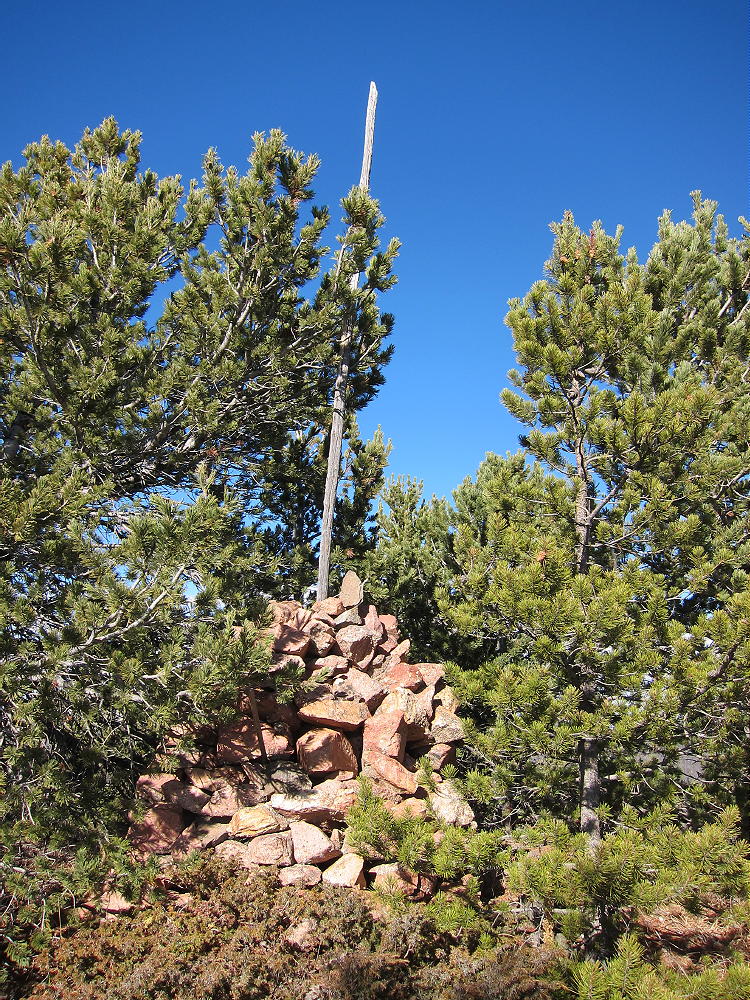
    • A huge rock cairn and a benchmark mark the summit.
    • If you don’t see the cairn, you’re not at the right summit!
    Additional Details:

    This is another remote, seldom-climbed Colorado summit that provides a fine experience and a good SOTA activation. The most challenging task is locating the peak. The summit is listed as Dead Tree Benchmark on some maps.  The southern approach to the peak is from the Roosevelt National Forest.  The peak itself may be in the Dead Tree State Wildlife Area.  It’s not posted.

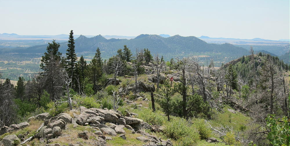
    Green Mountain is only 2-1/2 miles from Wyoming. There are fine views of northern Colorado and southeast Wyoming.
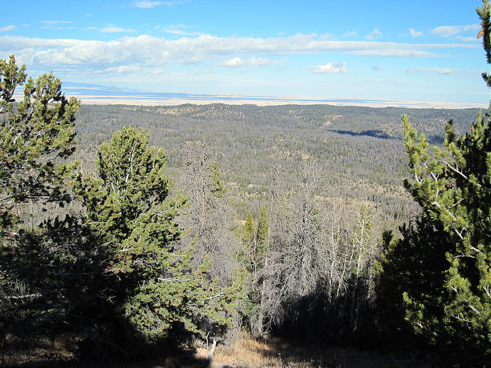
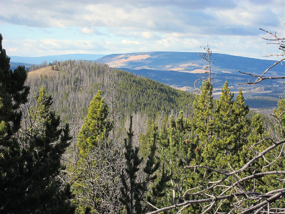
    There’s no development nearby, and the RF noise level is very low. The SOTA Activation Zone is large and pleasant. Good spots for setting up gear are available near the top, as well as on the ridge.
    Many good trees grow up there, and shelter from the wind is easy to find. The day we climbed Green Mountain, it was cool and windy, but we were both comfortable during our joint activation – we set up our gear in sunny, sheltered spots.
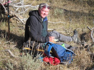
    The area around Green Mountain has many deer and elk, as well as many hunters in the fall. Definitely wear safety orange if you go there during hunting season.

    This is a good summit to combine with nearby W0C/FR-183, 8740, for a dual activation with little extra driving.

    73

    George
    KX0R

    ATTENTION !! WARNING !! There are old mountaineers, and bold mountaineers… there are no old-bold mountaineers. Hiking and mountain climbing are potentially hazardous activities particularly in Colorado with its extreme elevations. I am not accepting responsibility for any death or injury resulting from activations based on my trip reports. Proper training, experience, and personal capability assessment is required – enjoy!
  • W7Y/EW-017 (Leg Benchmark) – 2760 m / 9055 ft

    W7Y/EW-017
    Leg Benchmark
    2760 m / 9055 ft
    Aug 7, 2016

    With N0TA

    By KX0R

    Leg Benchmark is a prominent peak in the Sherman Mountains of southeastern Wyoming.

    Key Points:

    Medicine Bow National Forest – Pole Mountain Area
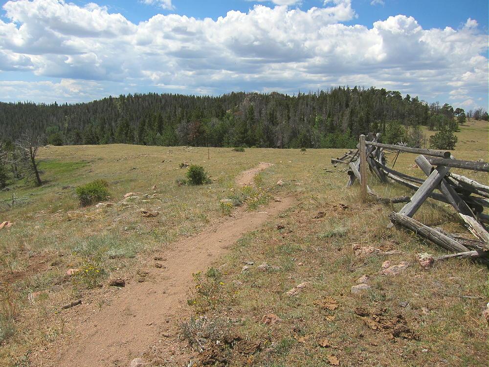
    • Access part-way on a nice trail
    • No marked trail up the ridge
    • Route finding required
    • Game trails and some bushwhacking
    • Summit is rarely visited
    • Fine HF/VHF/UHF site
    • ~ 4.2 miles round-trip
    • ~ 600 vertical feet

    Driving Directions:

    • Drive to Cheyenne, Wyoming
    • From the junction with I-80, follow I-25 north about 1 mile to Happy Jack Road 210.
    • Drive west on the paved Happy Jack Road for about 20 miles to the Laramie Mountains
    • Climb west on 210 to a partly-forested plateau, and continue into the Medicine Bow National Forest
    • About 4-1/2 miles past the forest boundary, turn left, west, on marked FR-707 – this is a bumpy 2WD dirt road.
    • Drive about 1-1/2 miles west and southwest on FR-707.
    • Look for a trailhead on the west side of the road, where the road is heading south
    • Park at the trailhead for Trail 791– there is no charge
    • Happy Jack Road 210 is also accessible from I-80 at the Sherman Summit.

    The Hike:

    • Google Maps show few of the hiking trails or trailheads in this area
    • Some of the trails and trailheads are shown on the Medicine Bow National Forest visitor map

    Here is a really good map of the area near Leg Benchmark.  Here’s another amazing map that zooms.

    • GPS is very useful here
    • Hike west on Trail 791. This trail is called Headquarters Trail on the USGS topo map.
    • The trail has been re-routed and now ascends via a big switchback.
    • Continue up to a gate leading into a large meadow – this is Browns Landing


    • The trail soon splits – take the right fork north along the ridge, around the eastern side of the meadow.
    • It’s possible to climb up to the south ridge of Leg and then head NNW up the summit ridge to the top – this is off-trail, and is best done with GPS.
    • Avoid steep rocks and talus on both sides of the Leg BM ridge.
    • Otherwise, for a slightly easier but longer route, continue on the trail as it leads NNW among some trees above the meadow.
    • Leg BM ridge is immediately to the east here
    • At the next fork, head NNE up a trail in a small draw; climb ¼ mile to a small saddle near 8920 feet.
    • At the saddle, leave the trail, and follow a faint, unmarked path SE up and along the summit ridge.
    • The route’s rocky and brushy; it leads 1/3 mile to the peak.
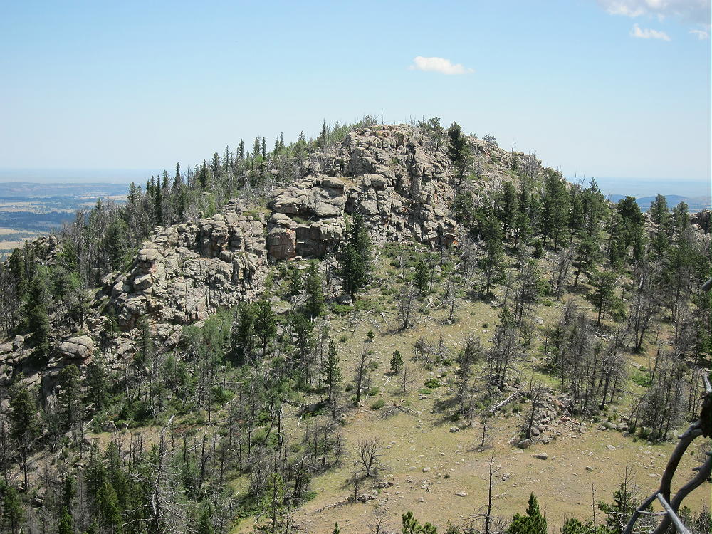
    • The summit is the highest of several sub-peaks on the ridge-top.

    • Several rocky points in the general area of Leg BM are almost as high, so it’s important to navigate to the actual SOTA peak.  Pole Mountain is just southeast of Leg BM – it’s almost as high at 9040 feet, so it could cause confusion:

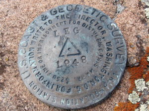
    • There are two primary benchmarks on the peak. The USCGS BM from 1948 says “LEG”. The USGS BM from 1947 says “Pole”. Pole Mountain is actually about 1/3 mile to the SE from Leg. Go figure….

    Additional Details:

    Trail 791 is somewhat popular. It’s well-built, maintained, and used in all seasons. The trailhead for the west end is just north of the statue of President Lincoln at the top of I-80. Access to Leg BM from the west end is probably as easy as the route detailed here, although it’s slightly longer.  Here’s a detailed account of that route.

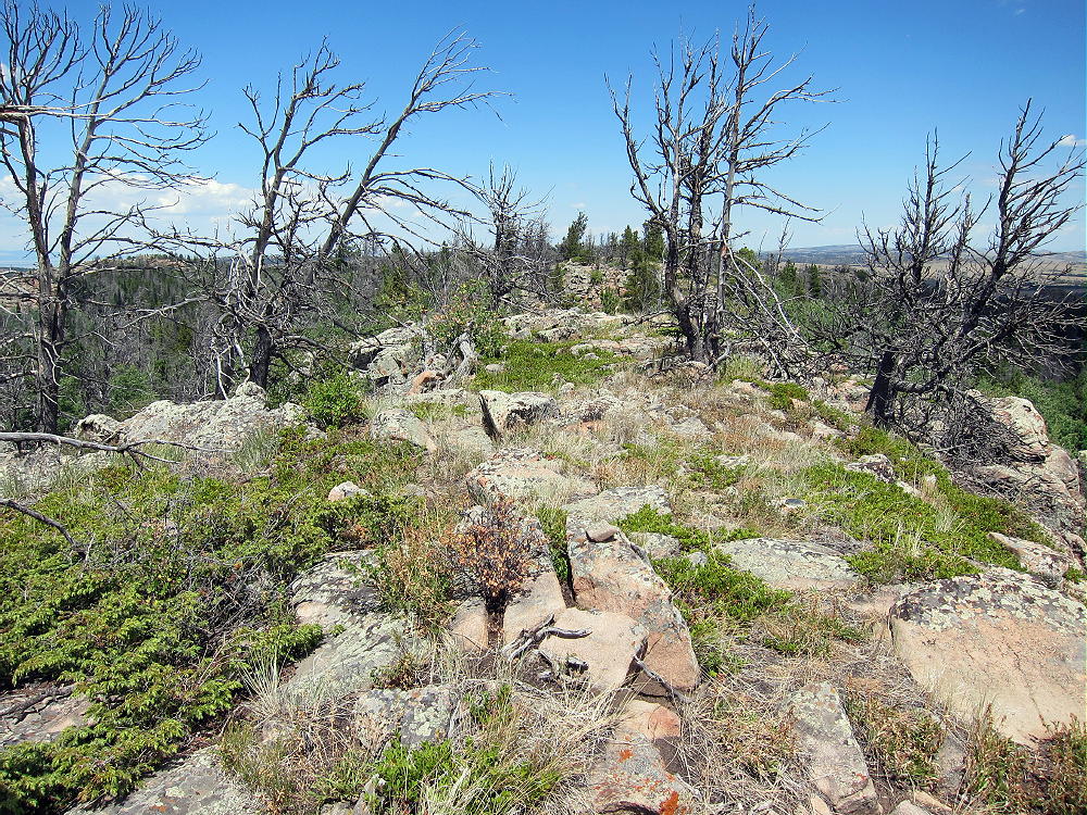
    Plenty of good spots are available for setting up radio gear along the summit ridge. The activation zone is very long north to south. There are many dead trees for supporting a wire or a pole.

    Leg Benchmark is a near-perfect radio summit – it falls away in all directions.  With no development nearby, the noise level is very low.  KX0R made 32 CW contacts on 7-10-14-18 MHz, including 3 summit-to-summit (S2S) contacts.

    This peak is likely a good VHF/UHF summit for parts of southeast Wyoming and northeastern Colorado, but it’s partly blocked to the west by the local terrain. The summit history shows some 2 meter contacts.

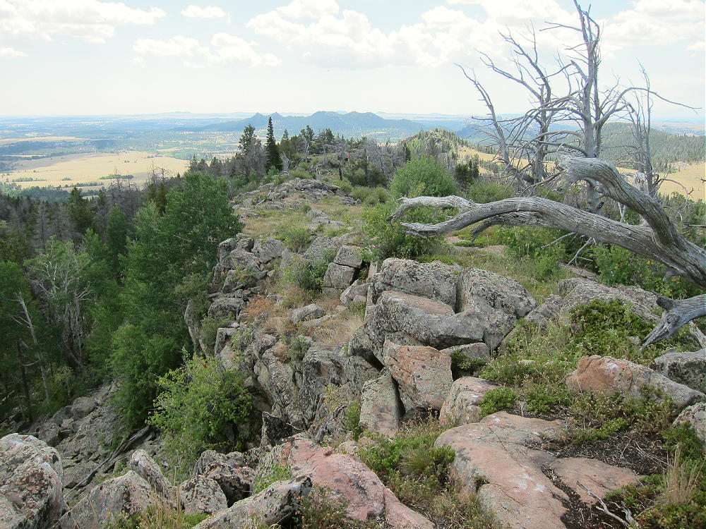
    The summit ridge is a really nice place to be in good weather. It looks out over most of southeast Wyoming, and the views seem endless. Many of the trees are dead, so the ridge is wide open. This is the top of the Sherman Mountains, which are part of the much larger Laramie Range. Not many people visit the long ridge, probably because there’s no real trail.

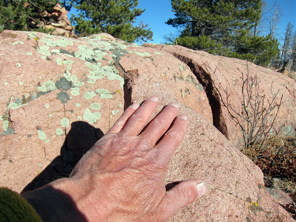
    The ridge is made of resistant orange igneous rock, probably granite or one of its relatives. There’s a path along the ridge, so it’s easy to move north or south.

    The only bad thing about the Sherman Mountains, is that everywhere you look you think you see other possible SOTA peaks – there are numerous craggy summits – but apparently none of them have enough prominence!

    73

    George
    KX0R


    ATTENTION !! WARNING !! There are old mountaineers, and bold mountaineers… there are no old-bold mountaineers. Hiking and mountain climbing are potentially hazardous activities particularly in Colorado with its extreme elevations. I am not accepting responsibility for any death or injury resulting from activations based on my trip reports. Proper training, experience, and personal capability assessment is required – enjoy!