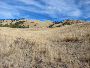
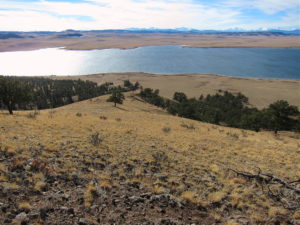
• Convenient access via Arapaho National Forest roads
• Summit is on public BLM land
• No marked trail or trailhead
• Relatively challenging off-trail ascent via game trails
• Pleasant summit
• ~ 2.6 miles round-trip
• ~ 1175 vertical feet
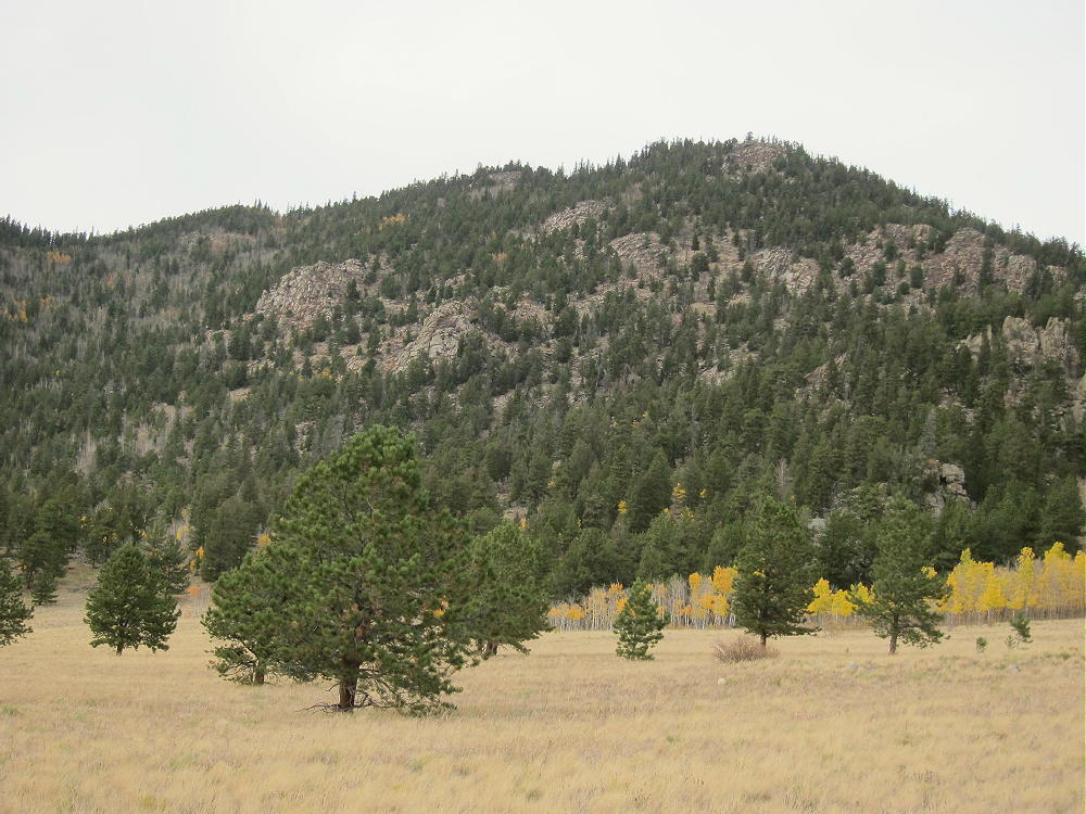
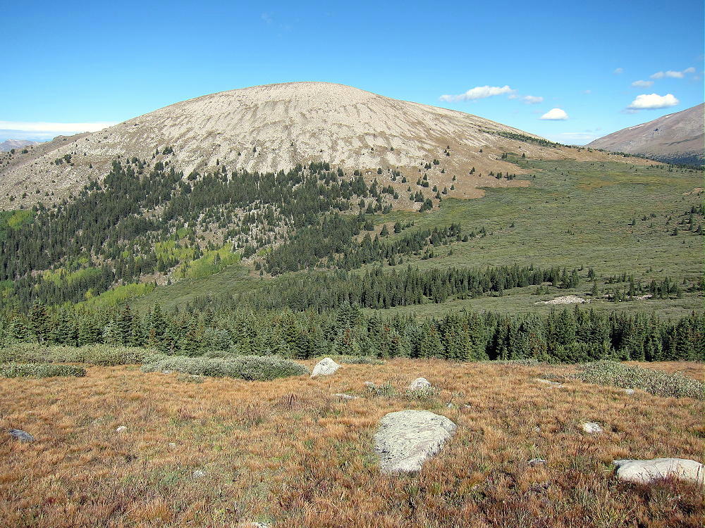
Sheep Mountain – Southwest Side, Aspen Groves and Elk Meadows
Driving Directions:
• Drive west from Denver on I-70
• Turn north on Highway 40
• Cross Berthoud Pass, drive through Winter Park, and continue north to Fraser
• At Fraser, turn west on CR 73
• Follow CR 73 west about a mile, and turn right on CR 50S
• CR 50S merges with CR 50 after about 1 mile
• Follow good dirt road CR 50 about 3 more miles west to the National Forest
• Continue on CR 50/FR-139 up the Crooked Creek Drainage almost 3 miles, to where the road crosses to the north side of Crooked Creek, at about 9240 feet
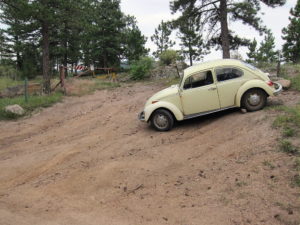
• A small road FR-880.1 heads off to the right and northeast up a hill
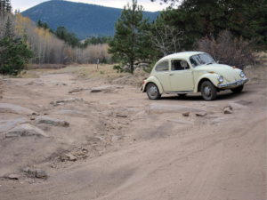
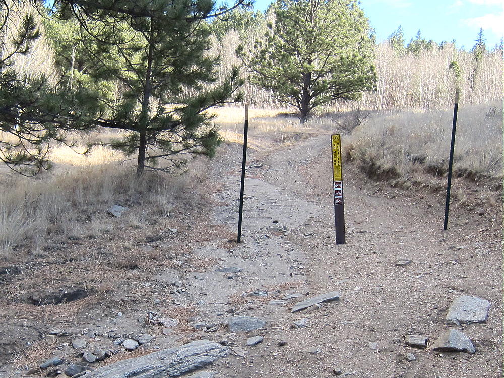
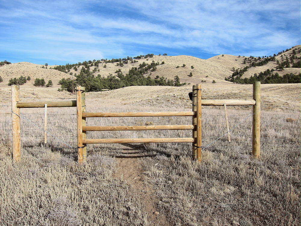
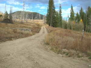
Sheep Mountain – Start of FR 880.1
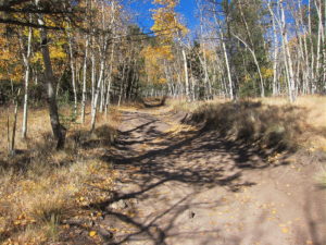
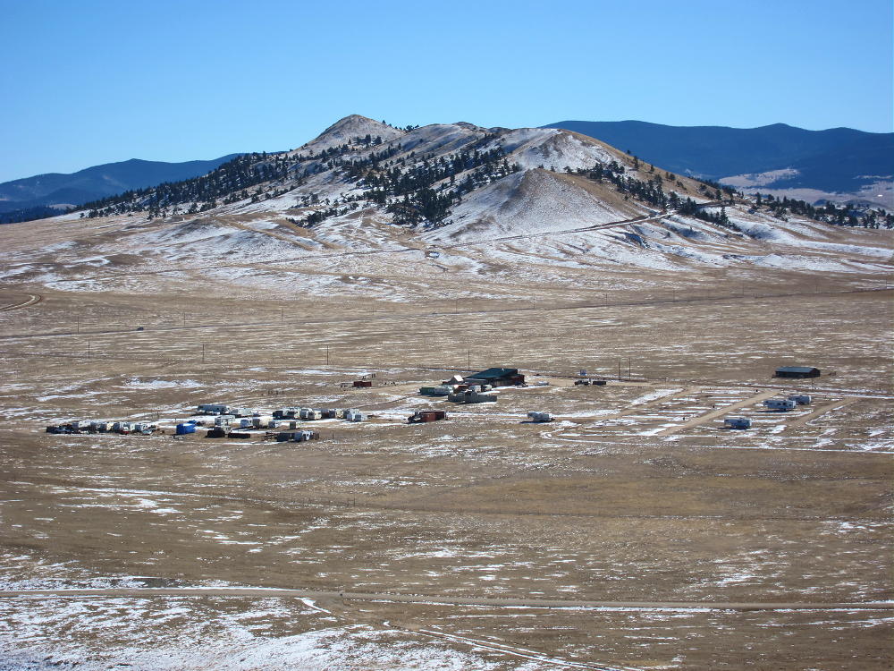
Sheep Mountain – FR 880.1 near Rocky Point
• Drive up this narrow 2WD road about ¾ mile to where it curves sharply at about 9680 feet, just north of Rocky Point
• This is near some large power lines, as well as campsites
• Park near the bend in the road
The Climb:
• From the parking spot, hike east and slightly down, along the power line right-of-way, for about ¼ mile
Sheep Mountain – Route from Rocky Point along Power Lines
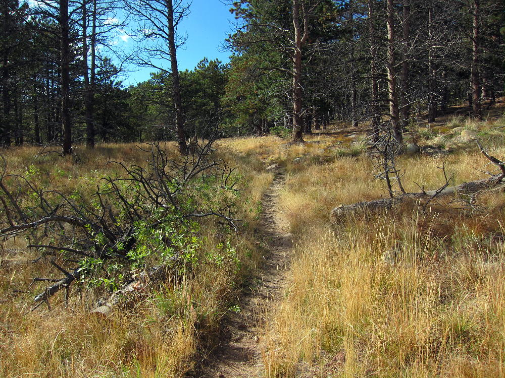
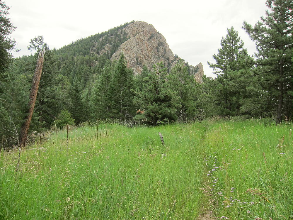
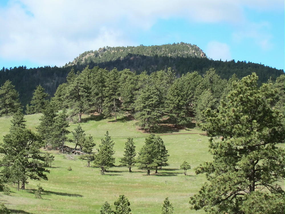
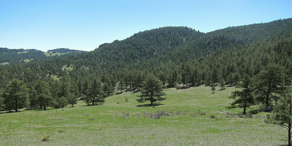
• Head north up through meadows and aspen groves
Sheep Mountain – Start of Meadow Route
Sheep Mountain – Ascent Route HIgher Up
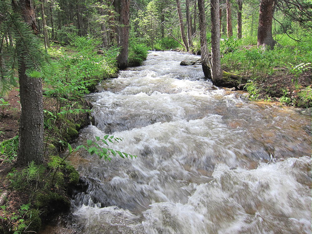
Sheep Mountain – Up Through the Aspens
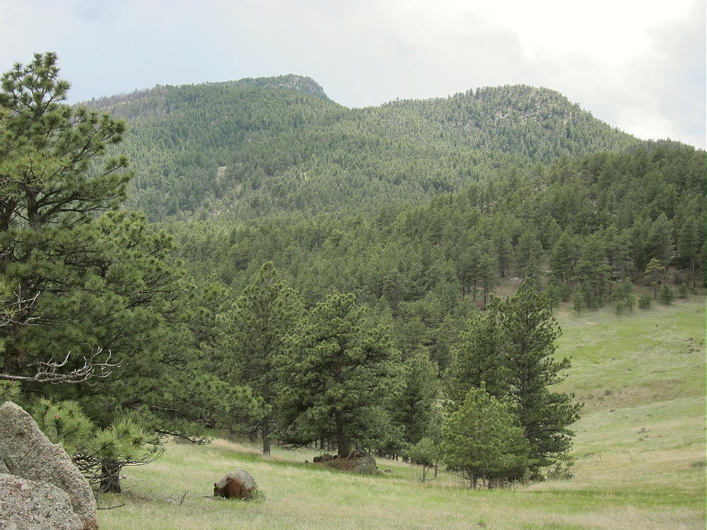
• Gradually climb more to the northeast, toward Sheep Mountain
Sheep Mountain – Meadow Route Border
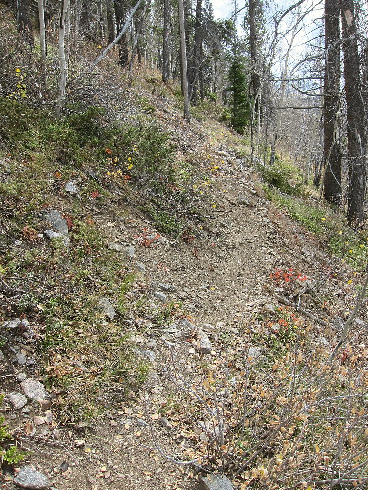
• Near the top of a meadow area, a game trail leads east and climbs steeply around the south ridge of Sheep Mountain
Sheep Mountain South Side Game Trail
• Follow this game trail up, and then follow other game trails more or less north up the south side of the mountain
• Soon you’ll ascend the distinct summit ridge
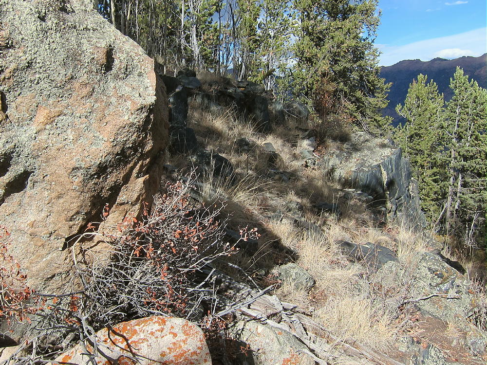
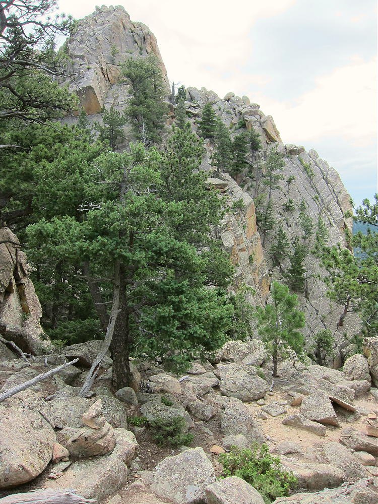
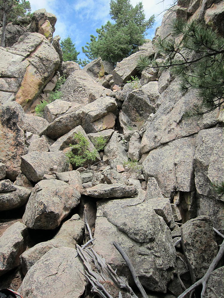
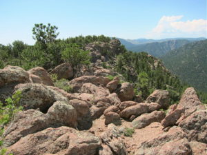
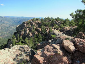
Sheep Mountain South Ridge Route
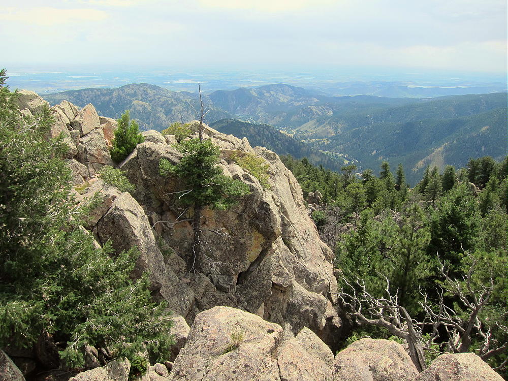
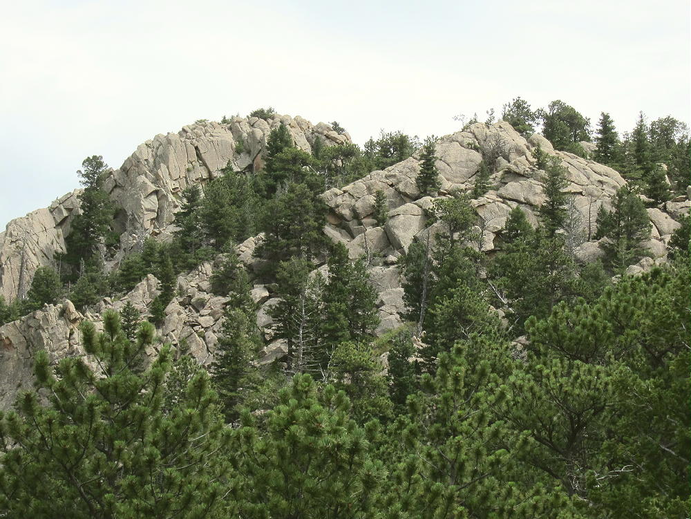
Sheep Mountain, South Summit
• Follow the ridge north to the summit
Sheep Mountain has two similar summits – the southern one is the actual summit – the slightly lower northern summit is about 1500 feet along the ridge to the north.
Details:
The Arapaho and Roosevelt National Forest Map is useful for planning a hike to Sheep Mountain. In particular it shows the useful roads FR-139 (CR 50) and FR-880.1. The route I found is rarely used by humans, but it’s short and sweet.
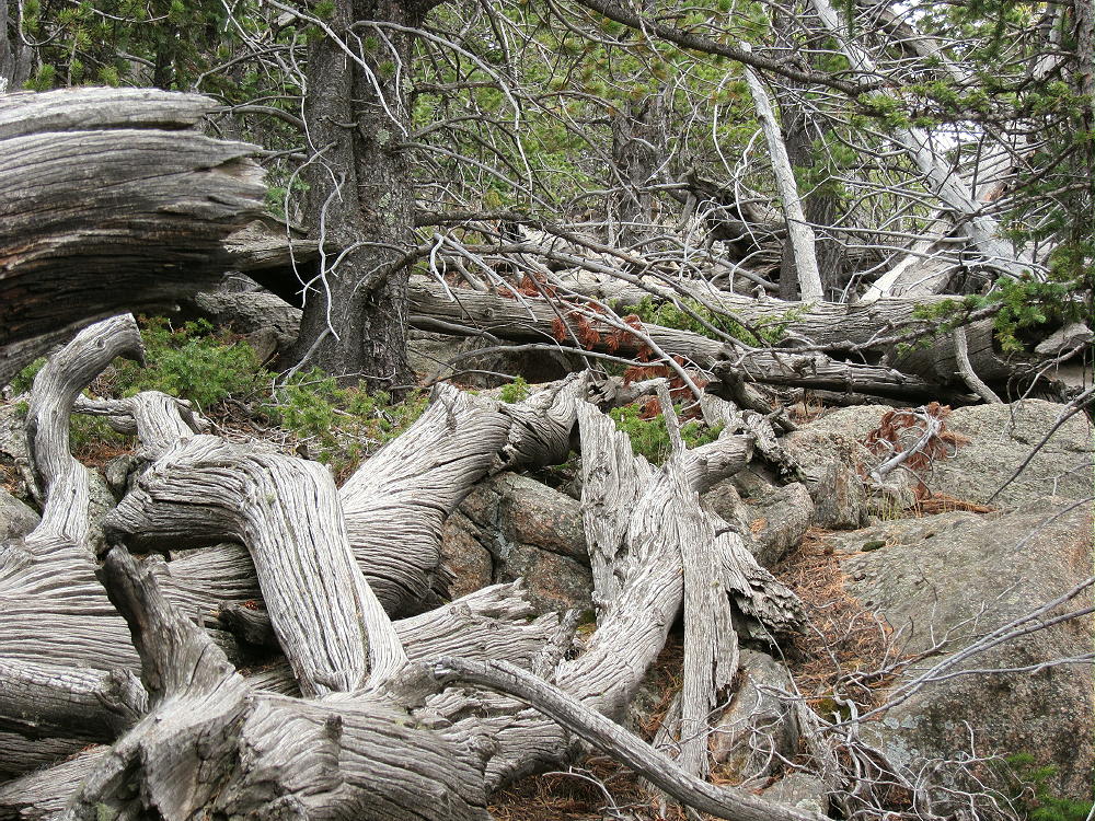
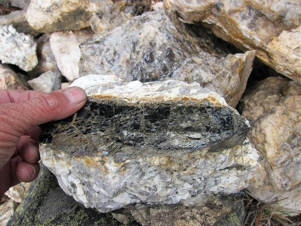
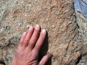
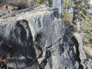
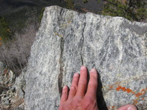
The entire summit ridge is made of hard, gray, resistant gneiss.
Sheep Mountain South Ridge Gneiss
There’s a geocache in a bottle on the peak. A visible trail runs north along the ridge from the summit. People climb Sheep Mountain mostly from the north. There’s access at the YMCA Snow Mountain Ranch, and perhaps elsewhere. The Ranch calls this peak “Snow Mountain”.
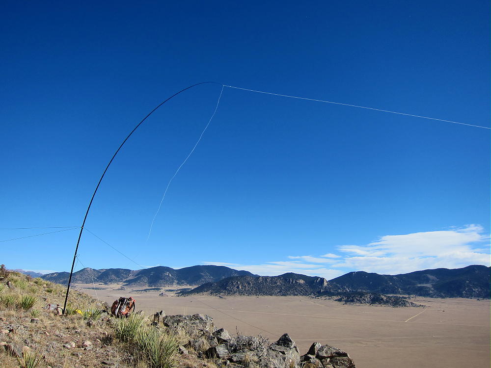
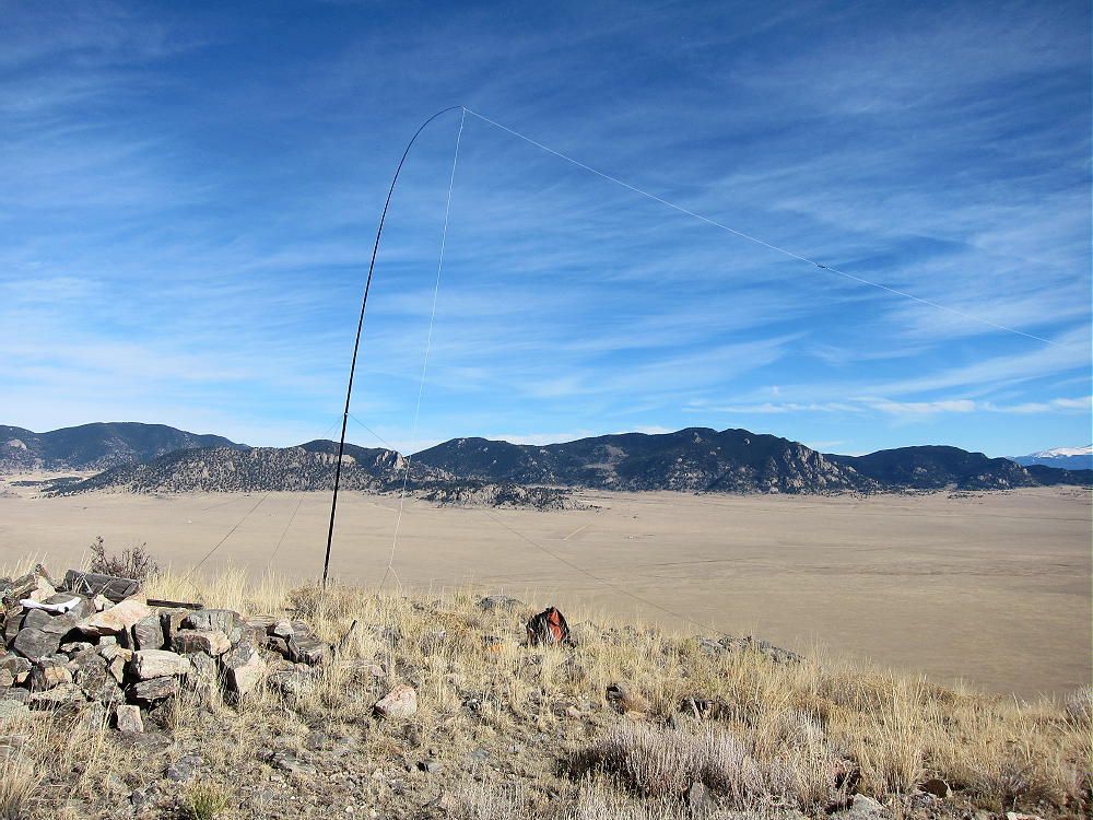
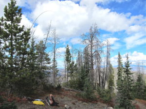
Sheep Mountain is an excellent SOTA peak. The activation zone is of moderate size, with good trees and nice spots to set up. There’s no development on the mountain, except for the power lines, and they seem to be quiet – the RF noise level was low. This is a fine HF site. It’s not blocked much for skip signals, except to the south. The peak has limited VHF/UHF coverage of Winter Park, Fraser, Granby, and Grand Lake.
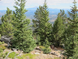
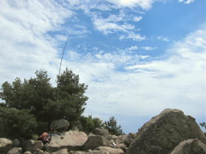
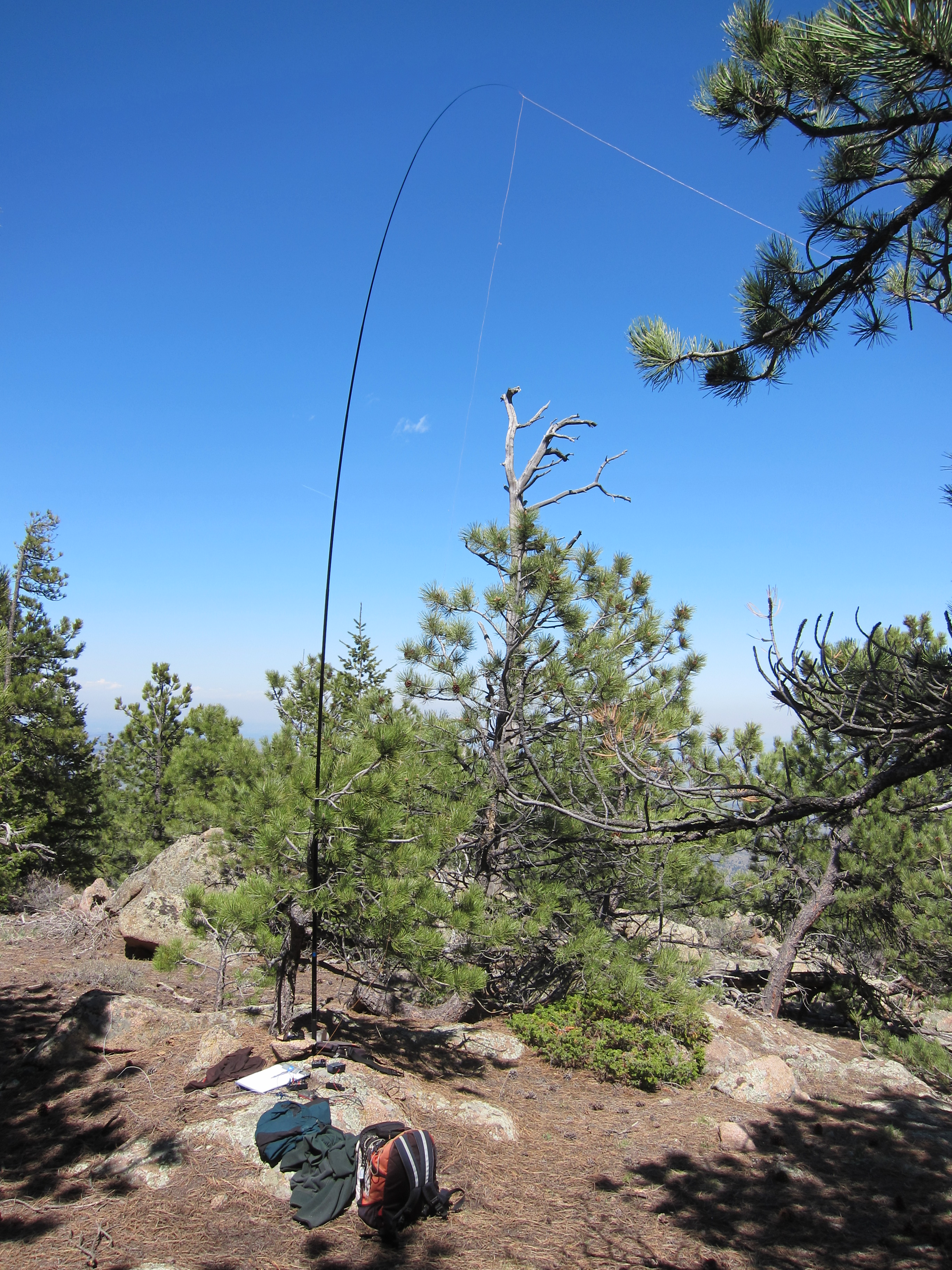
Sheep Mountain Summit – KX0R Activation
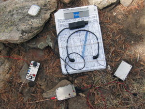
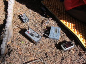
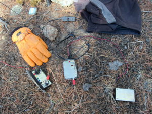
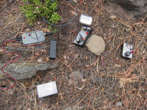
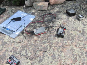
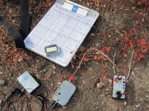
Sheep Mountain – KX0R Radio Gear
My log shows 33 CW contacts on three HF bands. These included three summit-to-summit (S2S) contacts:
KE7BGM Kay on W7A/AP-033
NM5S Alan on W2/NJ-009
K2JB Dean on W4C/CM-110
Sheep Mountain is easily combined with nearby Blue Ridge, W0C/PR-100, for a dual activation. After Sheep Mountain, Blue Ridge is just a pleasant walk.
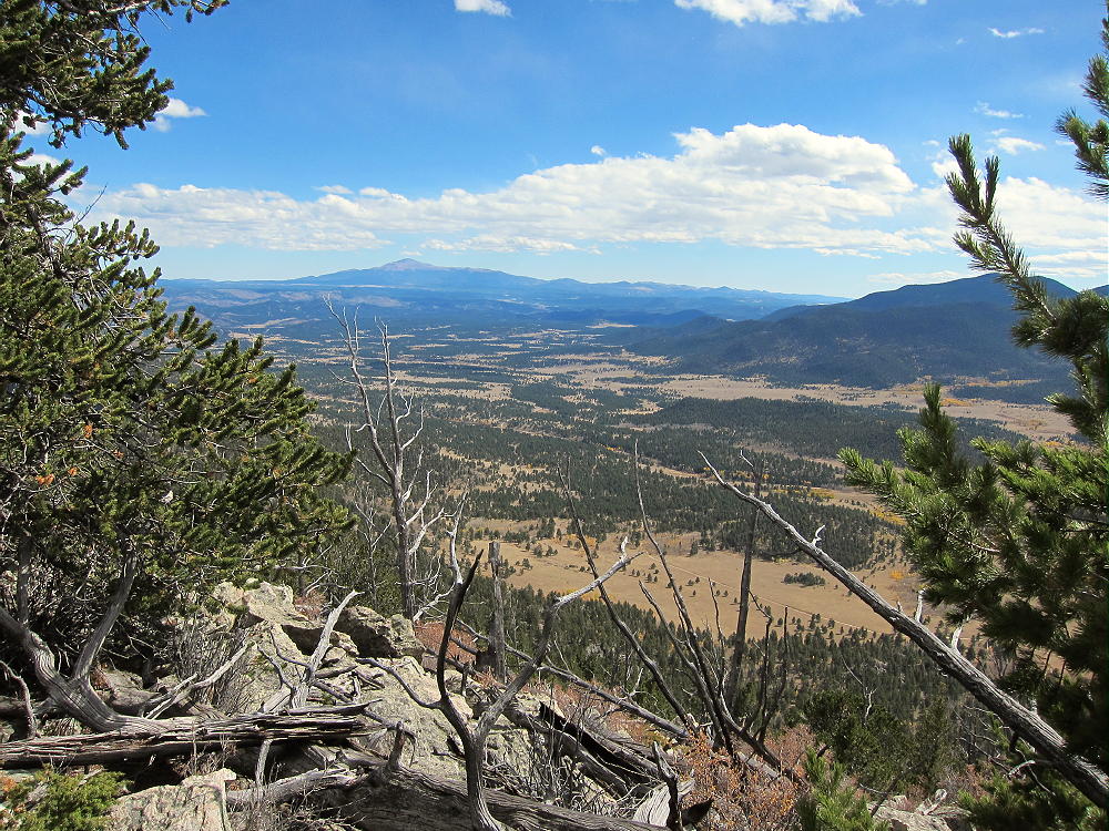
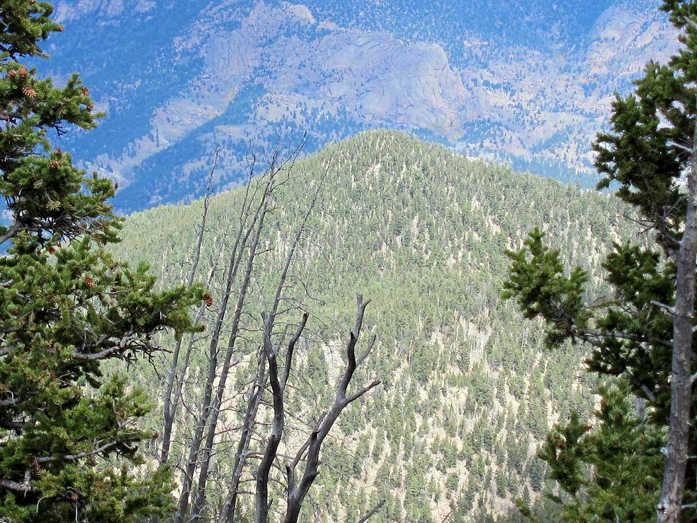
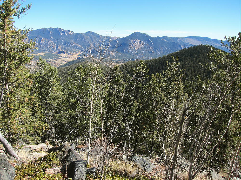
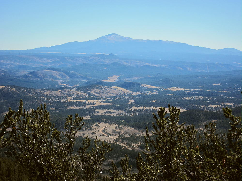
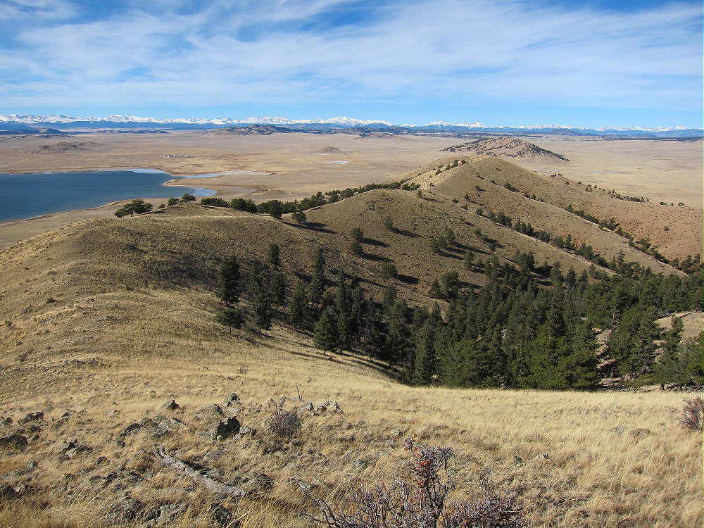
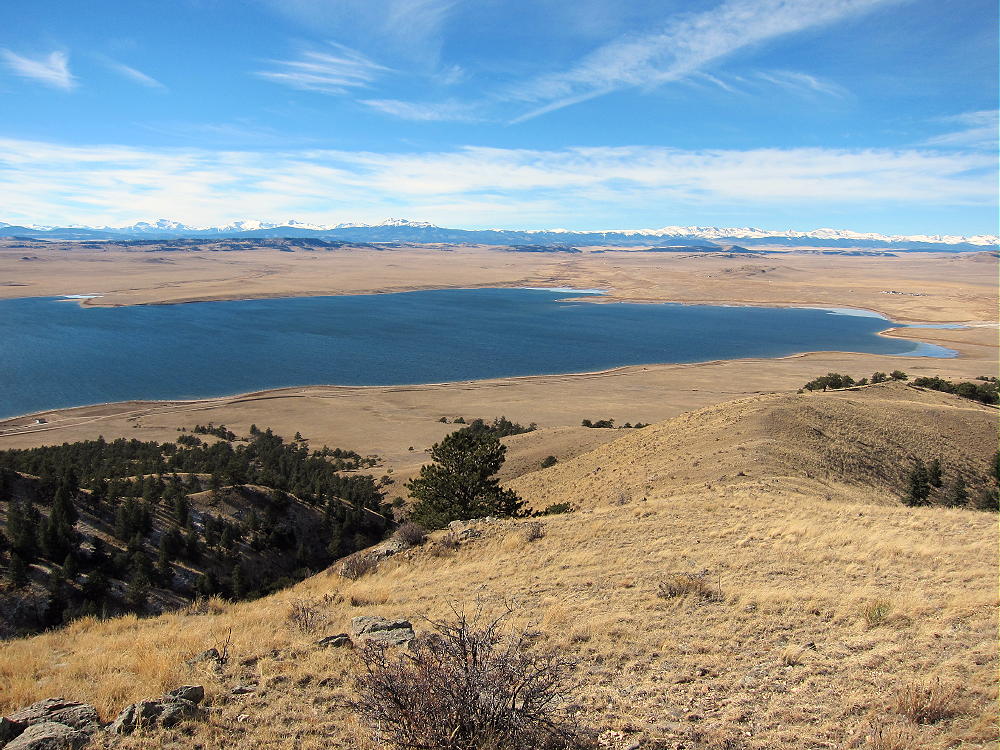
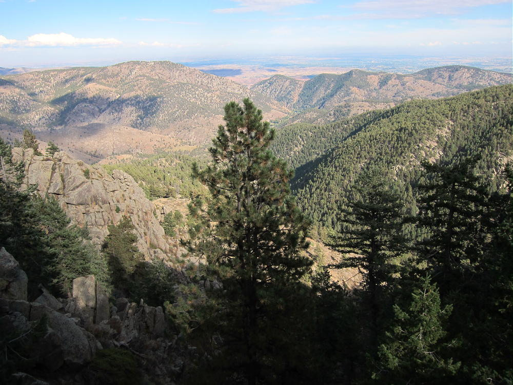
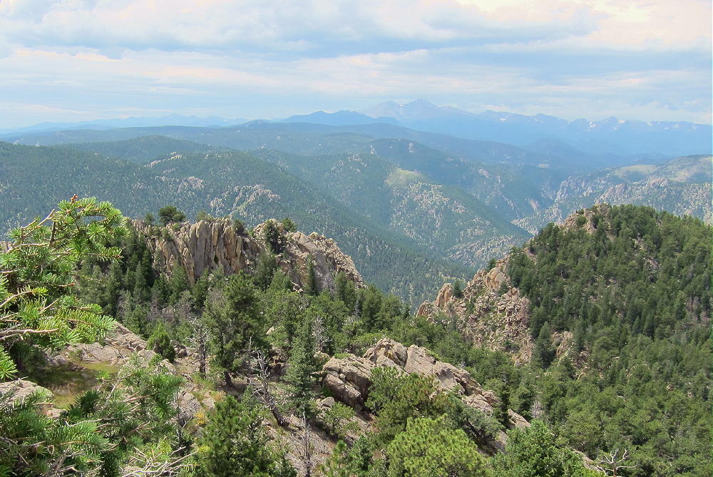
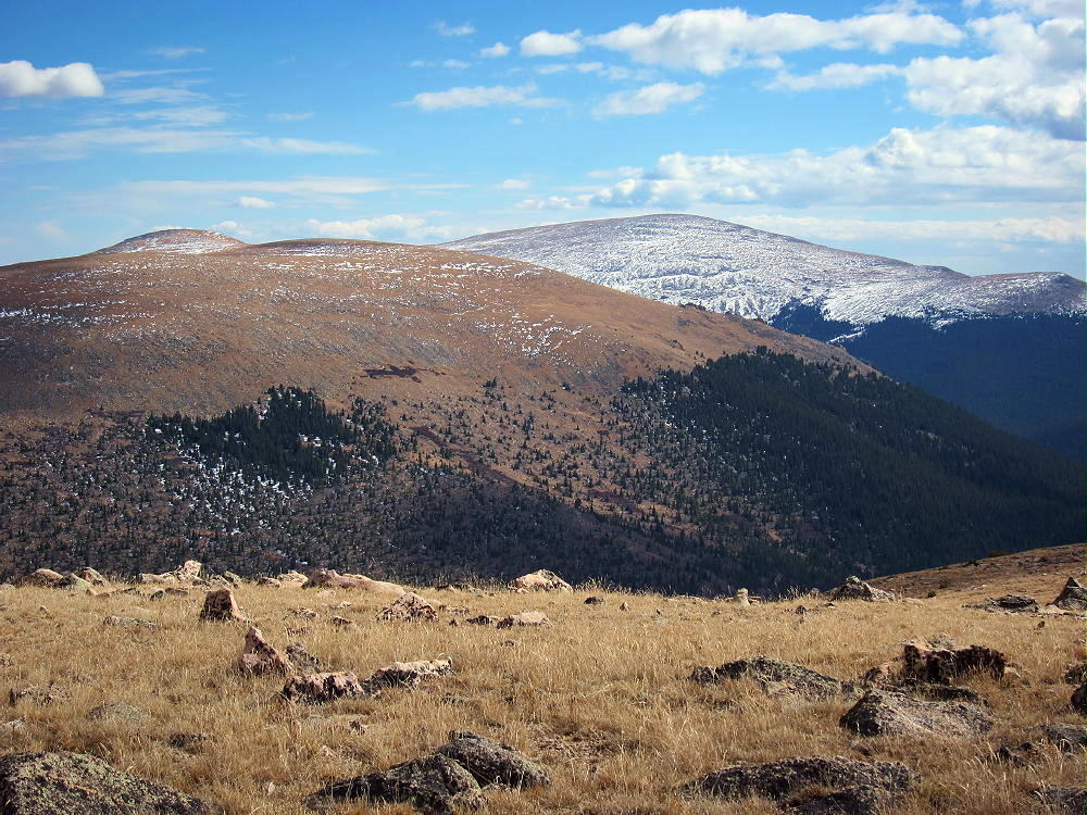
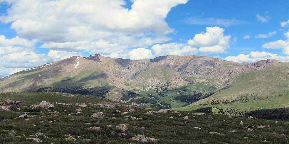
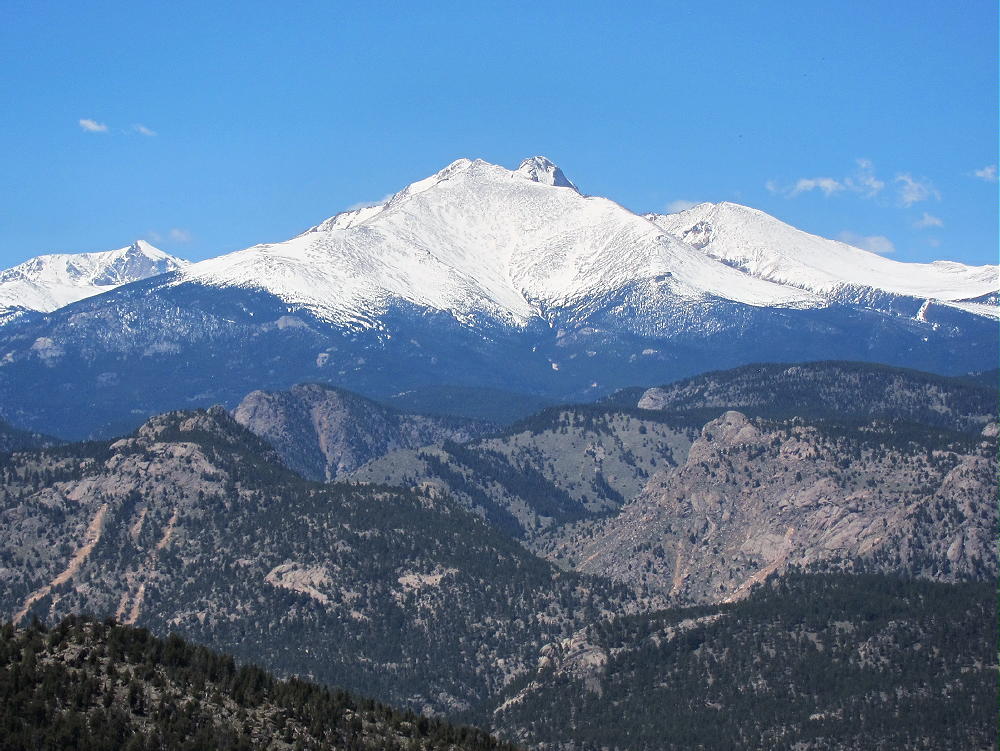
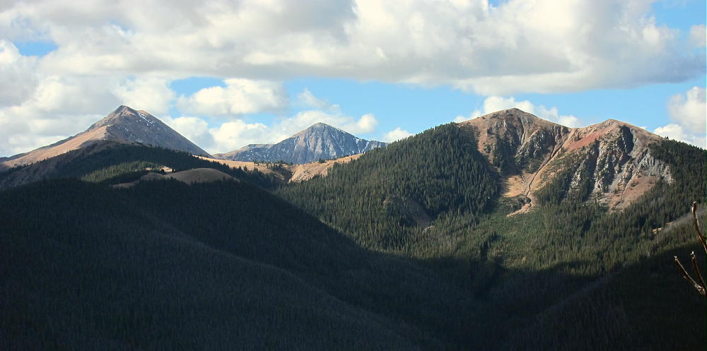
The peak offers good views of nearby Ptarmigan and Byers Peaks to the south, Blue Ridge to the west, as well as more distant ranges.
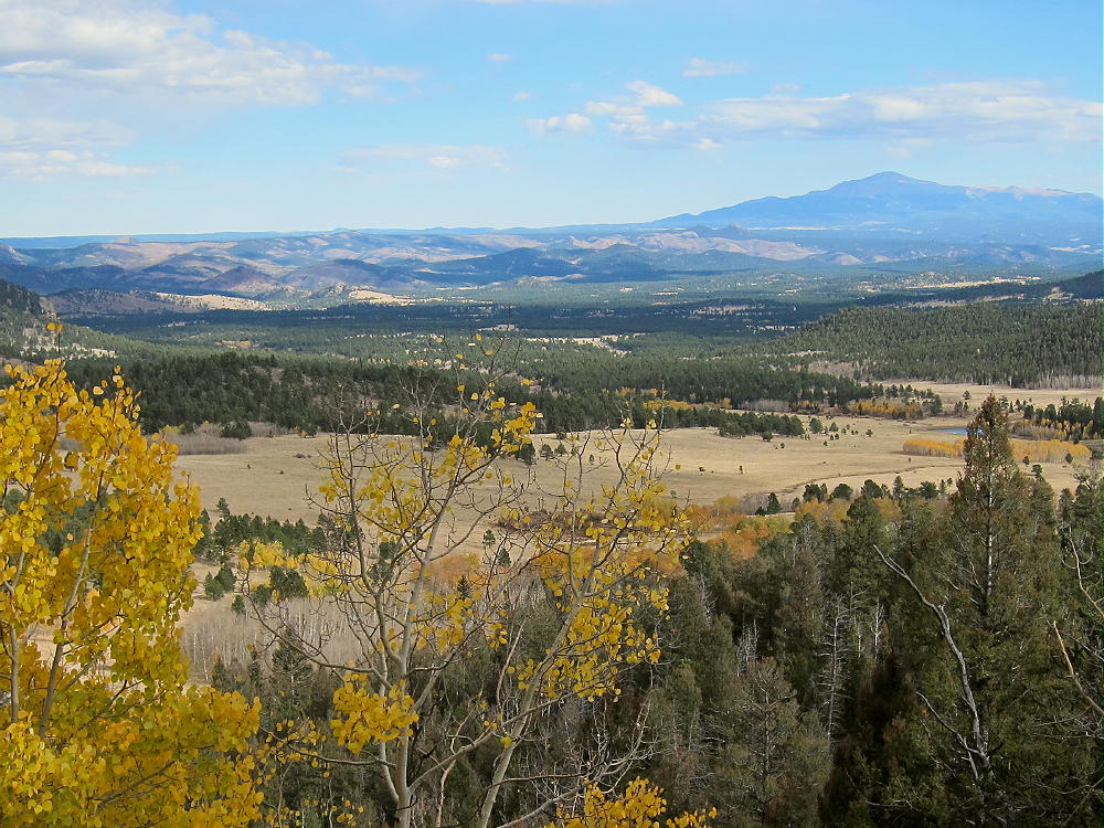
Sheep Mountain – View South to Bottle, Byers, and Ptarmigan Peaks
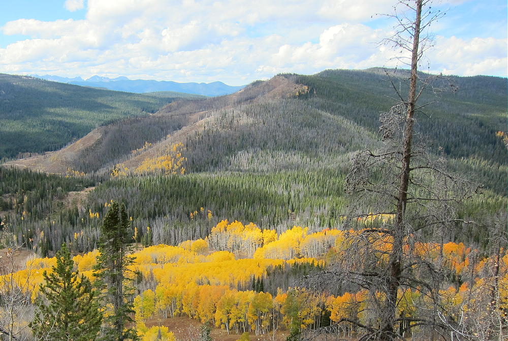
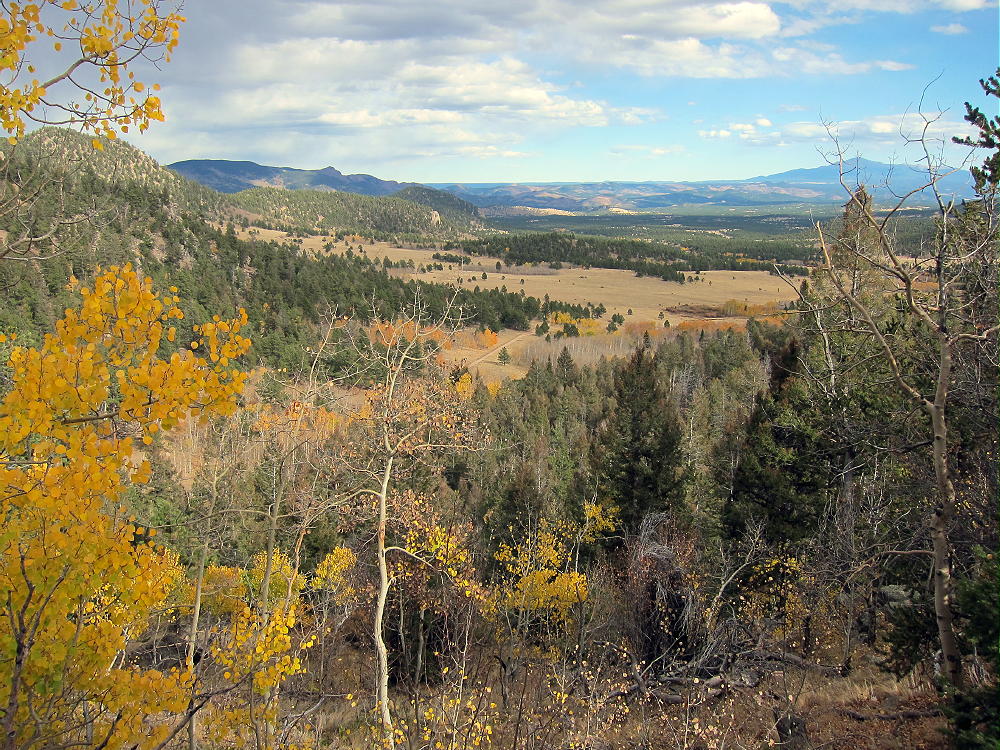
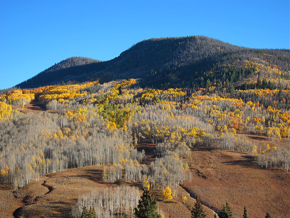
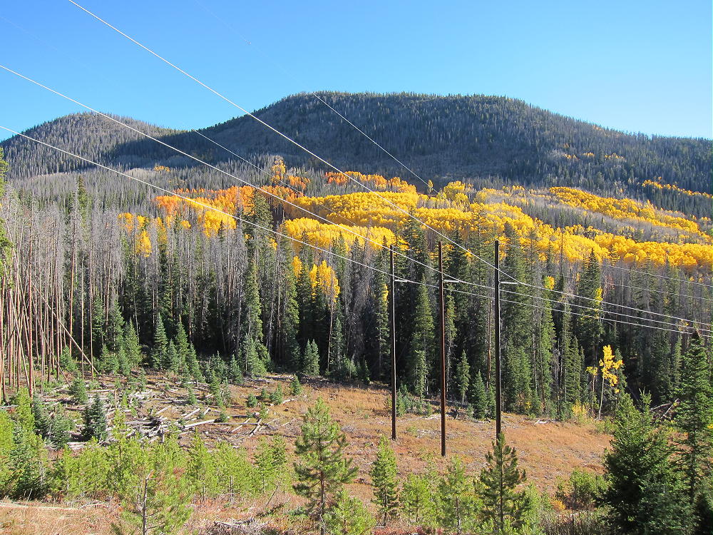
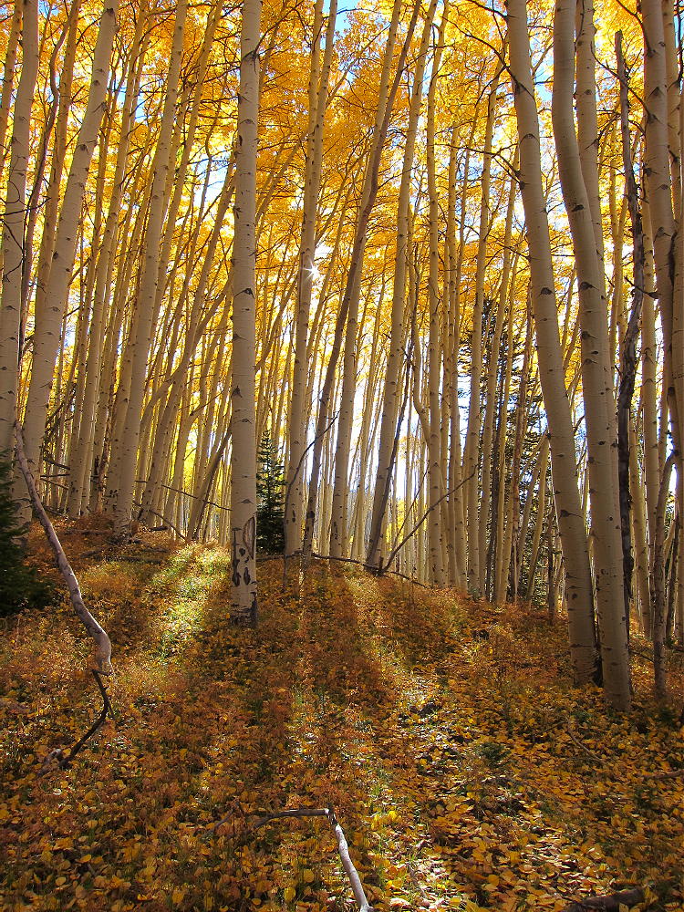
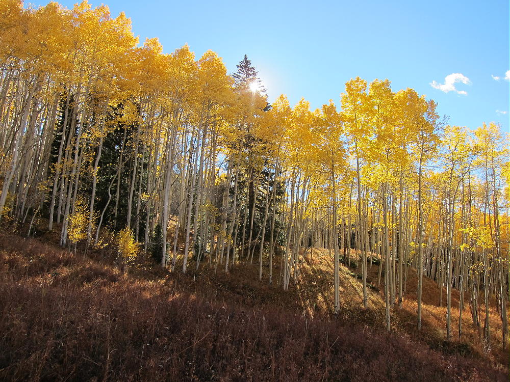
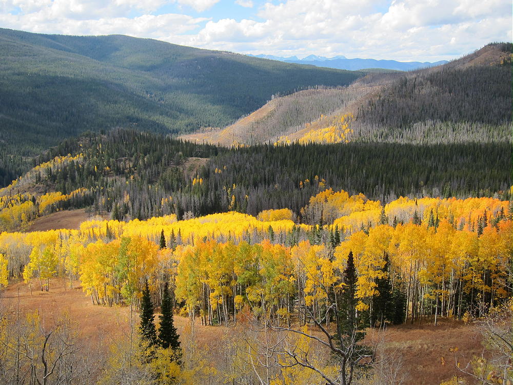
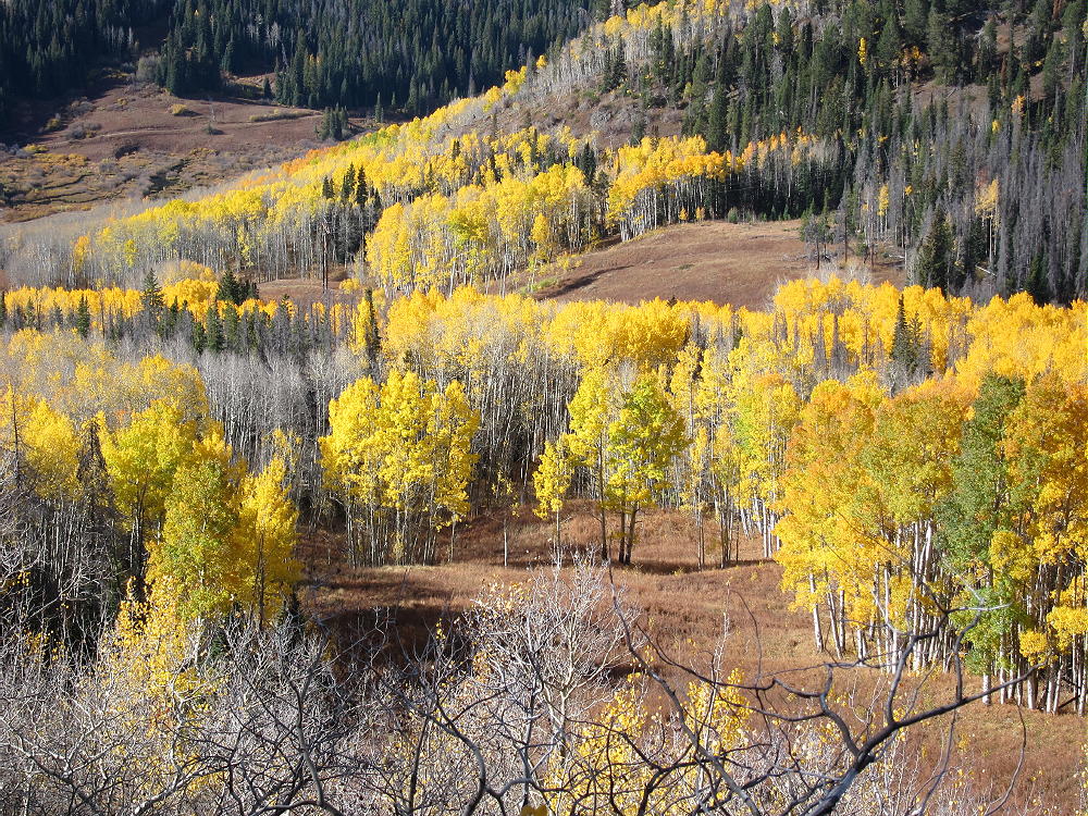
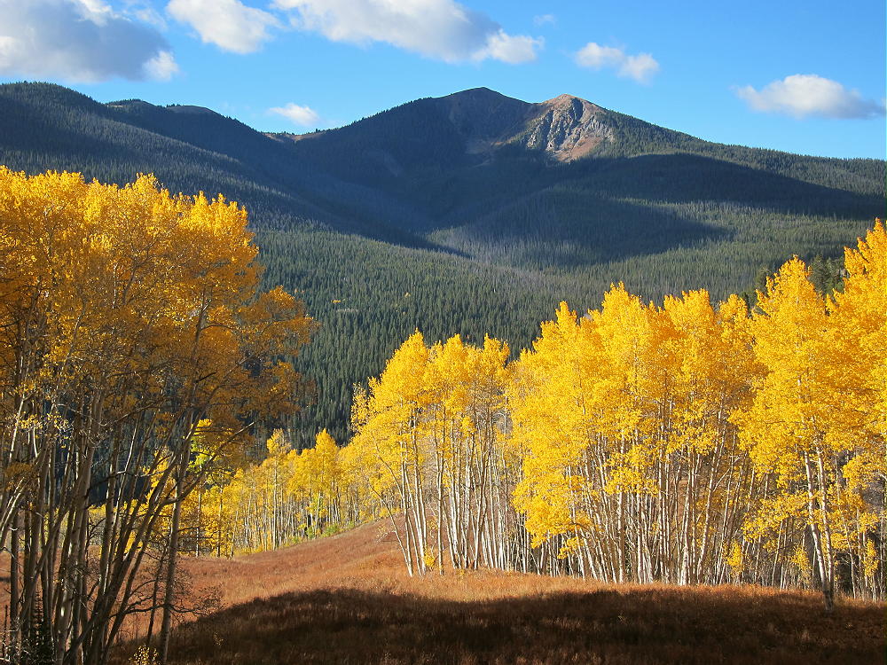
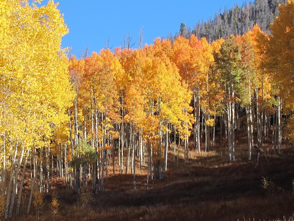
When I was there in early October, the aspen trees were spectacular!
Sheep Mountain Aspen Gallery:
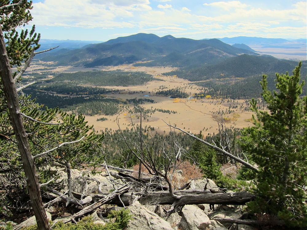
Sheep Mountain View Southwest to Rocky Point
Sheep Mountain – View Down Southwest
Sheep Mountain – Meadow Route
Sheep Mountain – Amazing Aspens
73
George
KX0R
!! WARNING !! There are old mountaineers, and
bold mountaineers… there are no old-bold mountaineers.
Hiking and mountain climbing are potentially hazardous activities particularly in Colorado with its extreme elevations. I am not accepting responsibility for any death or injury resulting from activations based on my trip reports. Proper training, experience, and personal capability assessment is required – enjoy!
W0C/PR-100
Blue Ridge
3271 m / 10731 ft
First Activation
Oct 2, 2016
By KX0R
Blue Ridge is a fun, easy SOTA peak hidden in the woods west of Fraser, Colorado.
• Convenient access via Arapaho National Forest roads
• Summit may be on private land
• Not posted to prohibit entry
• No marked trail or trailhead
• Relatively easy off-trail ascent
• Summit is not visible from the road or in the woods
• GPS navigation recommended
• Peak is rarely visited
• ~ 1.0 miles round-trip
• ~ 350 vertical feet
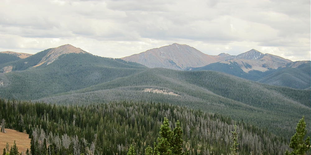
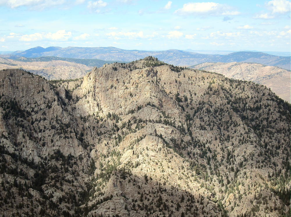
Blue Ridge, Upper Right, View from Sheep Mountain
Driving access:
• Drive west from Denver on I-70
• Turn north on Highway 40
• Cross Berthoud Pass, drive through Winter Park, and continue north to Fraser
• At Fraser, turn west on CR 73
• Follow CR 73 west about a mile, and turn right on CR 50S
• CR 50S merges with CR 50 after about 1 mile
• Follow good dirt road CR 50 about 3 more miles west to the National Forest
• Continue on CR 50/FR-139 up the Crooked Creek Drainage for about 4 miles to a fork in the road, at about 9960 feet
• Head right at the fork, northwest on CR 50/FR-133 – this is a pretty good 2WD dirt road
• Continue up about 1.5 miles toward Blue Ridge
• The road runs clockwise around a hill and levels out near 10,400 feet
• Park off the road where the road heads NW and starts to descend slightly
The coordinates for this parking spot: 39.94984 -105.98409
The climb:
• From the parking spot, initially hike northeast about 0.2 miles up a moderately gentle forested slope
• There are old logging roads in the area – much of the area has been logged
• Continue northeast, and head slightly east of the summit
• Climb the Blue Ridge east of the summit to avoid cliffs and talus near the peak
• Once on the obvious ridge, walk northwest to the peak.
The summit is just a bump on the very long ridge-top. GPS may be helpful for finding the actual peak. The large activation zone is mostly open – good trees are available for supporting an antenna or a pole.
Blue Ridge, Summit Ridge View Northwest
There’s no development for miles, so the RF noise level is low; this is a perfect HF site. It’s not blocked much in any direction for skip signals. This may be an OK site for VHF/UHF, at least for the area around Kremmling, Fraser, Granby, Grand Lake, etc.
Blue Ridge, KX0R SOTA First Activation
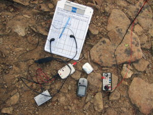
Blue Ridge, KX0R SOTA Radio Gear
My SOTA activation was fun – I made 40 CW contacts on 4 bands with my 5 watt radio. On 40M I made a summit-to-summit contact with Kay, KE7BGM, on W7A/AP-005; on 17M I contacted John, ZL1BYZ, in New Zealand!
Blue Ridge offers good views of nearby Ptarmigan Peak and Byers Peak to the south, as well as more distant ranges.
Blue Ridge, View North to Byers Peak
Blue Ridge, Summit Ridge View Southwest to Gore Range
Blue Ridge is easily combined with nearby Sheep Mountain W0C/PR-103 for a dual activation. After Sheep Mountain, Blue Ridge is just a pleasant walk in the woods.
Geology Notes:
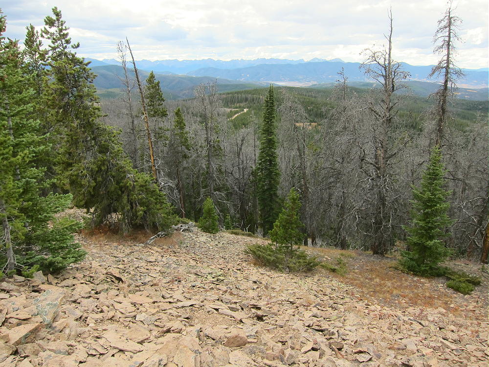
The Blue Ridge is actually a large feature – it runs SE-NW for several miles; there’s a broad anticline west of the ridge. The summit ridge is a hogback formed from sedimentary paleocene-cretaceous Middle Park Formation rock. The rock dips down to the east.
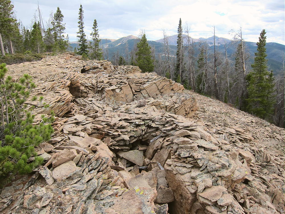
Blue Ridge, Summit Ridge View South, Showing Collapsed Beds, Sinks, etc.
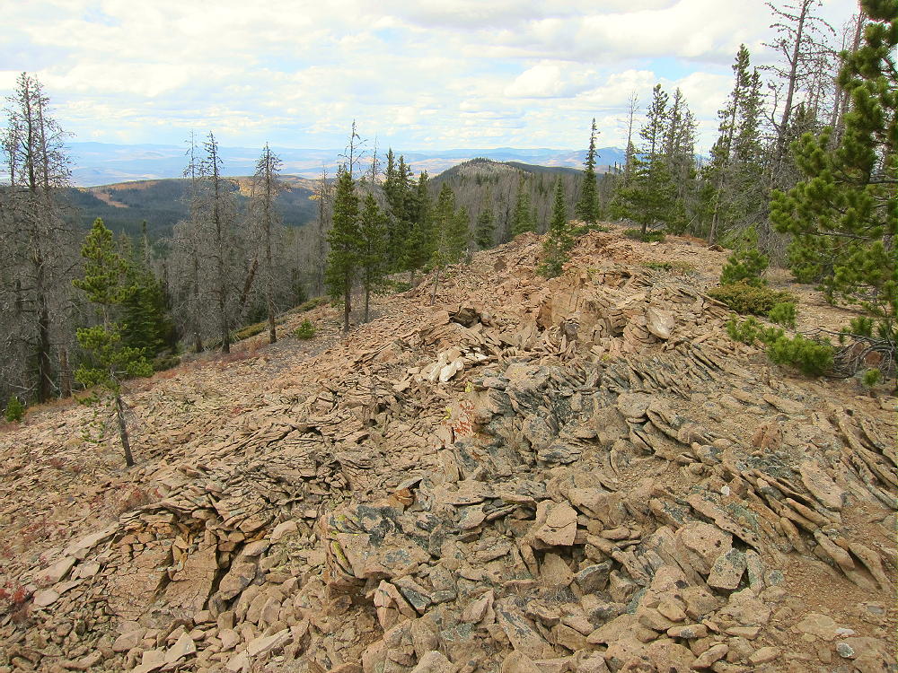
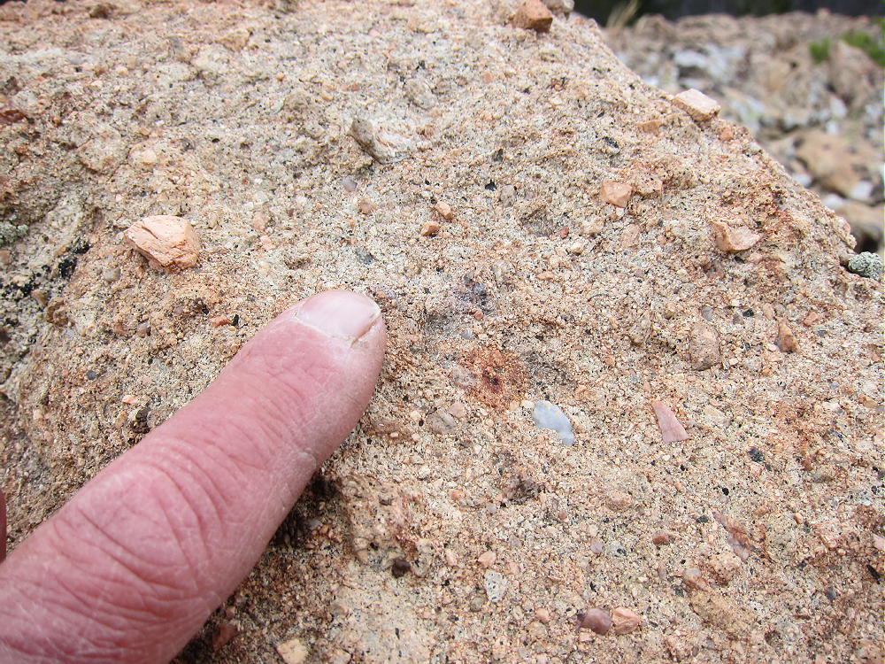
This light orange rock is thinly layered; it’s made up of a variety of sediment, including older pebbles and mostly rounded stones – it’s a conglomerate. It erodes strangely, forming piles of thin slabs and talus slopes, and there are odd collapsed areas all along the top edge of the ridge.
Blue Ridge – Summit, Middle Park Formation Conglomerate
Most of the summit ridge seems solid and safe, but the tops of the ledges show evidence of collapse, even to the point of forming holes and sinks several feet deep. These unstable areas should be avoided.
73
George
KX0R
!! WARNING !! There are old mountaineers, and
bold mountaineers… there are no old-bold mountaineers.
Hiking and mountain climbing are potentially hazardous activities particularly in Colorado with its extreme elevations. I am not accepting responsibility for any death or injury resulting from activations based on my trip reports. Proper training, experience, and personal capability assessment is required – enjoy!
• Convenient access via Pike National Forest roads
• No marked trail or trailhead
• Relatively challenging off-trail ascent
• Excellent SOTA peak
• ~ 3.5 miles round-trip from parking near 9600 feet
• ~ 1.8 miles round-trip from parking at 4WD saddle at 10,100 feet
• ~ 1300 vertical feet from parking near 9600 feet
• ~ 800 vertical feet from parking at 4WD saddle at 10,100 feet
10874 – Summit Ridge from FR 231
Driving access:
• Drive west from Denver on Highway 285
• Cross Kenosha Pass
• Continue to Jefferson
• Turn south on Highway 77
• Drive about 16 miles to Tarryall Reservoir
• Continue south about 12 miles to Tarryall
• Turn west on CR 31 – good 2WD dirt road
• Follow CR 31 southwest for about 0.7 mile
• Turn west on rough dirt road FR-231
10874 – FR-231 Has Some Bumps
10874 – FR-231 at about 9500 Feet
• Follow FR-231 almost 4.0 miles to the base of the mountain
• Park near 9600 feet, or continue about 0.6 mile up to the saddle, if you have enough clearance and maybe 4WD
10874 – View Southeast from FR-231, near Saddle
The climb:
• If you park near the bottom of the mountain, hike about 0.7 mile up FR-231 road to the saddle at 10,040 feet
• Head northeast into the forest toward the summit
• The route is steep, with few game trails
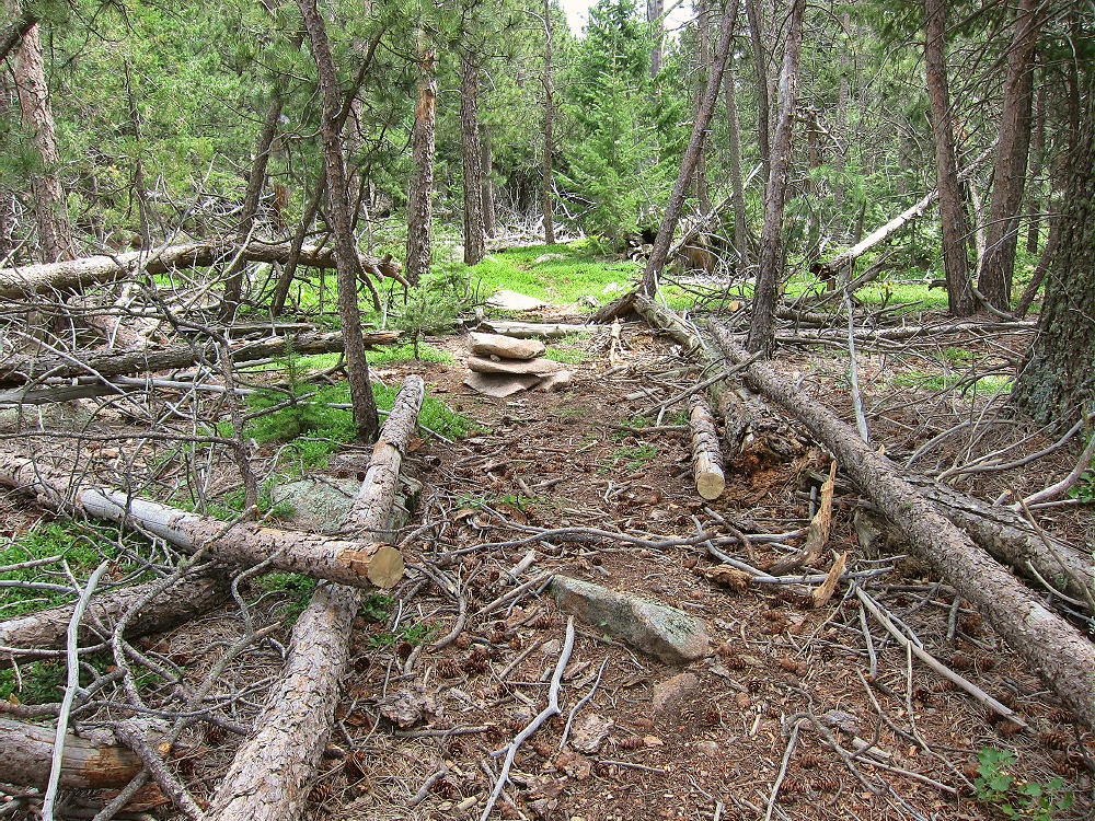
• There’s considerable deadfall, but much of it can be dodged
10874 – Deadfall on the West Side
• After climbing to the 0.4-mile-long summit ridge, continue east for about 0.3 mile toward the actual peak
• Pick your way carefully over gneiss rocks, chunks of pegmatite, and numerous large dead trees
10874 – Pegmatite on the Summit Ridge
• There are several rocky sub-peaks near the real summit – be sure you pick the correct one for your activation
Details:
The Pike National Forest Map is useful for planning a hike to 10874; it shows the useful roads CR 31 and FR-231.
FR-231 is not quite a 4WD road, but high clearance is required, especially for the upper sections near the peak. Hiking part of the road is a reasonable option.
Very few people climb this summit – there’s little evidence of hikers along the rocky summit ridge. Thanks to WG0AT, Steve, for his First Activation!
10874 – Summit Ridge, View Southwest from near Summit
10874 – Summit Area
10874 is an excellent SOTA peak. The large activation zone extends along the ridge-top; there are good south-facing spots, with shelter and trees for a pole, wire, etc.
10874 – KX0R SOTA Activation
10874 – KX0R SOTA Activation
There’s no development on the mountain, and the RF noise level is low. This is a fine HF site. It’s not blocked much for skip signals. This site has limited VHF/UHF coverage of the east side of South Park and the area toward Pikes Peak.
10874 – View Southeast from near Summit
The summit of 10874 offers fine views in many directions. Many other local SOTA peaks are visible. The most obvious is Badger Mountain, almost 6 miles to the south; Pikes Peak is large, although it’s 34 miles to the southeast. Peak 10462 can be glimpsed through the trees from the east end of the summit ridge. Schoolmarm Mountain W0C/SP-071 is only about 2-1/2 miles to the west, and Puma Peak stands about 2-3/4 miles to the northwest. Thirtynine Mile Mountain W0C/SP-066 is easily visible 20 miles to the south, above La Salle Pass; the Sangre de Christo Range stands along the horizon more than 60 miles away.
10874 – Summit View of Badger Mountain
While climbing the west side and traversing the summit ridge is somewhat tedious – sort of an obstacle course – some of the deadfall looks to be centuries old. From the summit one can see the actual extent of the Puma Hills far to the north and south. The wind blows through the bristlecone pines, and even the rocks are interesting! This mountain offers perfect solitude.
It might be possible to activate Peak 10874 in the same day as another local summit – possibilities include:
W0C/SP-091 10462
W0C/FR-038 South Tarryall Peak
W0C/SP-072 Badger Mountain
W0C/SP-121 Sulphur Mountain
W0C/SP-118 Spinney Mountain
W0C/SP-071 Schoolmarm Mountain
W0C/SP-113 Eagle Rock
W0C/SP-102 Observatory Rock
W0C/SP-065 Puma Peak
W0C/SP-074 Burntop
W0C/FR-066 Tappan Mountain
W0C/SP-124 9083
W0C/SP-125 9036
W0C/SP-092 The Pulverizer
W0C/SP-123 Blue Mountain
W0C/FR-065 Signal Butte
Etc.
73
George
KX0R
10874 – View Southeast from FR-231
!! WARNING !! There are old mountaineers, and
bold mountaineers… there are no old-bold mountaineers.
Hiking and mountain climbing are potentially hazardous activities particularly in Colorado with its extreme elevations. I am not accepting responsibility for any death or injury resulting from activations based on my trip reports. Proper training, experience, and personal capability assessment is required – enjoy!
• Pike National Forest
• Moderate climb and activation
• Nice scenery
• Fine HF site
• Secret closed road most of the way
• ~ 4.25 miles round-trip
• ~ 1750 vertical feet
10462 from 10874
Driving access:
• Drive down 285, cross Kenosha Pass, and continue to Jefferson
• Turn south on Highway 77 and drive about 16 miles to Tarryall Reservoir
• Continue south on Highway 77 for 6.8 miles south of the Reservoir
• Turn right, west, on tiny FR 266
• Go SE only about 0.15 mile on this rough 2WD road
• Park near 8800 feet
• Google Maps are incorrect/inadequate for this area
The climb:
• Hike up a marked, closed old road/trail as it climbs along Gooseberry Creek
• Continue southwest about 1.5 miles to the end of the road near 10,000 feet
• Follow game trails up south to a saddle at 10,300 feet, east of 10462
• Hike west up the ridge to the summit
Additional Details:
The closed road provides a superb access to this pleasant SOTA peak. It’s “secret”, because it’s not shown on the Pike National Forest map, nor does it have a marked “trailhead”. It has no posted number, and its only marking is that it’s closed to motor vehicles. There’s convenient parking where the closed road forks off FR 266.
10462 – Trailhead of “Secret” Closed Road
The old road climbs steeply and efficiently up the Gooseberry Creek drainage, through conifers and aspen groves, to the end at about 10,000 feet. Most of the road is visible on the Google satellite images at high magnification – that’s how I found it!
10462 – Old Closed Road near Gooseberry Creek
10462 – View East from Old Road
The climb from the end of the road to the saddle near the summit is only about ¼ mile. There are some subtle game trails leading up to the saddle between 10462 and its eastern sub-peak. The last 150 vertical feet up to the peak is a short, pleasant hike up the east ridge of 10462.
10482 Summit Cairn
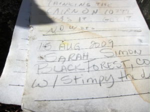
The pointed summit is small but nice; a few rocks holding a register in a jar mark the peak. The jar contains the signature of famous Colorado Summitpost author Sarah Simon! Here’s her report on UN 10462. She likes 10462 as much as I do.
10462 – Register Signature of Sarah Simon
A small prospect hole has been dug into the rocks on the northeast corner of the top. The day I was there, it was a windy day, so I set up in a sunny spot southeast of the peak.
10462 SOTA Activation Antenna
10462 SOTA Activation Antenna – 2nd Pole
10462 is an almost ideal SOTA peak. It’s prominent in all directions, and no close peaks block HF propagation significantly. Little development is nearby, and the noise level is very low. Views are limited by trees, but the vista east into the Lost Creek Wilderness is impressive.
10462 – Lost Creek Wilderness and Eastern Sub-peak
Pikes Peak stands far to the southeast, to the right of the eastern sub-peak.
10462 – View Southeast to Pikes Peak
It’s possible that 10462 is accessible from Weber Park, south of the peak. Most of that area is private land, and I have no information about access to the National Forest land leading up to 10462 from the south side.
Peak 10462 could easily be combined with another SOTA peak for a dual activation – possibilities include:
Be aware of possible hunters in the fall – wear bright orange.
Geology Comments:
The summit hill of 10462 has an interesting mix of ancient pre-Cambrain rocks.
On the south side, massive orange granite forms large rounded boulders in a continuous exposure.
10462 – Massive Granite near Summit
10462 – Massive Dark Gneiss near Summit
On the north side, dark gray gneiss shows an equally massive and continuous exposure right along-side the granite.
10462 – Granite and Gneiss Contact along Route up the Summit
The route to the top from the saddle runs right up along the contact between the two strikingly different rocks; it’s hard to miss this conjunction of these two very different ancient rock types.
73
George
KX0R
!! WARNING !! There are old mountaineers, and
bold mountaineers… there are no old-bold mountaineers.
Hiking and mountain climbing are potentially hazardous activities particularly in Colorado with its extreme elevations. I am not accepting responsibility for any death or injury resulting from activations based on my trip reports. Proper training, experience, and personal capability assessment is required – enjoy!
9852 is a pleasant minor summit in the Wet Mountains near Colorado City, southwest of Pueblo.
Key Points:
• San Isabel National Forest
• Near a good road
• Easy access via a short off-trail hike
• No marked trail
• Minor route finding required
• Nice forested sub-alpine summit
• Large, easy activation zone
• Superb HF radio site
• Limited VHF/UHF coverage
• ~ 1.0 mile round-trip
• ~ 250 vertical feet
Driving access:
• Drive to Pueblo, Colorado via I-25
• Continue south on I-25, and exit west on Greenhorn Highway 165 to Colorado City
• Drive by Colorado City, and continue west past the town of Rye
• Stay on 165, and drive northwest on the paved highway into the mountains
• Climb steadily up to San Isabel and Lake Isabel
• Continue on up about 3 miles northwest of Lake Isabel
• Just south of the Greenhill Divide, CR 78, an OK 2WD dirt road, leads off to the east at a marked intersection.
• Turn right on CR 78 and drive almost 1 mile up along the south side of Peak 9852 to a modest saddle
• A gated road leads north into a large quarry
• Park away from the gate – this is the “trailhead”
The hike and climb:
• Start the hike by walking past the locked gate into the flat quarry
• Head northwest for about 200 yards to a hidden road
• Follow the road west up behind the east ridge of 9852
• Where the road heads northwest, leave the road, and hike up through the woods to the summit ridge
• Hike west along the forested ridge to the broad summit
• There’s a cairn with a register jar on top
Additional Details:
9852 can also be climbed more directly up its steep south side from CR 78. However, there’s little good parking except at the gated quarry, and the route described above is easy. We descended down the east ridge, directly to the quarry, with no problem.
9852 has limited views through the trees. However, it’s a good radio summit. There’s some residential development nearby along Highway 165, but the RF noise level is low. The peak has excellent prominence to the east, but it’s partially blocked by the mountain range to the west.
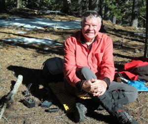
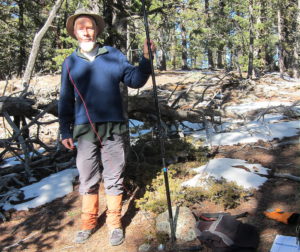
9852 – N0TA, SOTA Activator
9852 – KX0R, SOTA Activator
This is a fine HF summit. There are good spots to set up, nice trees for holding poles and wires, and even some shelter from wind. I had no problem making 37 CW contacts on 4 HF bands.
9852 – N0TA Radio Gear
9852 – KX0R Radio Gear
VHF/UHF coverage is probably great across the I-25 corridor from Colorado Springs south to Trinidad, as well as across the Plains to the east. Propagation in other directions may be blocked.
73
George
KX0R
!! WARNING !! There are old mountaineers, and
bold mountaineers… there are no old-bold mountaineers.
Hiking and mountain climbing are potentially hazardous activities particularly in Colorado with its extreme elevations. I am not accepting responsibility for any death or injury resulting from activations based on my trip reports. Proper training, experience, and personal capability assessment is required – enjoy!
W0C/SP-118
Spinney Mountain
2903 m / 9524 ft
Nov 9, 2015
Oct 16, 2016 with N0TA
By KX0R
Spinney Mountain is a prominent, fun summit in South Park.
Key Points:
• Spinney Mountain State Park
• No marked trail
• Some route finding and navigation
• Excellent HF site
• Incredible views of South Park
• No access in winter
• ~ 8700 feet trailhead elevation
• ~ 825 vertical feet to the summit
• ~ 1.8 miles round trip
Spinney Mountain, North End, from Sulphur Mountain
Spinney Mountain State Park is in South Park, about 15 miles west of Lake George, and about 10 miles southeast of Hartsel. The main feature of the Park is the large reservoir, which stores water from the South Platte River, and offers high-quality fishing.
Driving Directions:
• Drive to South Park
• From Colorado Springs via Highway 24, or from Denver via Highway 285
• Continue to the junction of Highway 24 and CR 23, about 4.4 miles west of Wilkerson Pass, and 10.5 miles east of Hartsel
• Drive south on CR 23 for 2.8 miles
• Turn right on Road 59, and drive 1.1 miles northwest
• Turn left, south, into the State Park
• Buy a pass at the entrance – a State Park pass is required to use this park.
• Follow the gravel road 2.2 miles south along the east side of the lake.
It’s important to park at the last small parking spot near the lake, just north of the large parking area at the southern boat ramp. Some repeat driving on the one-way roads may be needed to figure out which parking spot is correct – please read the next part carefully:
A large fence runs along the base of Spinney Mountain, about 100 to 200 yards east of the road. This fence is posted only with signs that prohibit hunting. However, just in the area near the dam, near the southeast corner of the lake, there’s additional posting, with no access to the land east of the road. If you go down there and then head back north, along the exit road toward the entrance area, look carefully at the fence to spot a stile. This stile allows passage through the fence for some game animals, so they’re not prevented from migrating. The stile is located in a draw about 200 yards east of the road. It’s important to locate this stile; then park in the parking area near the lake and west of this stile. Note that parking is prohibited along the roads!
A game trail leads east from the parking area and most of the way to the stile. In 2015 the stile was not posted with any signs, but there was a game camera pointing east, positioned to photograph animals crossing the stile. In 2016 there were still no signs, but the camera was not there. Cross through the fence at the stile, and hike east and up toward the summit. Please don’t try to cross the fence anywhere except at the stile.
Spinney Mountain Stile in Fence
There are several ways to ascend Spinney Mountain – I chose to hike up the ridge northwest of the summit; the ridges seem easier than the gullies. Several good game trails are available.
Spinney Mountain, Lower Part
Spinney Mountain, West Ridge to Reservoir
From the summit ridge, climb to the barren top of the north summit. Remains of a survey station lie near a large pile of rocks. There’s a jar with climbers’ names on a paper pad. Spinney Mountain has awesome views of South Park and numerous alpine peaks around this high basin.
Spinney Mountain Summit
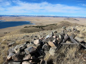
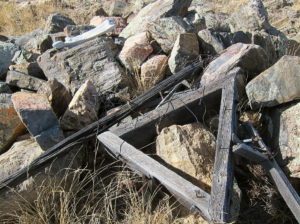
Spinney Mountain Triangulation Station
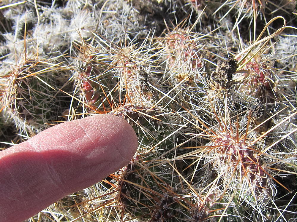
The activation zone along the ridge has few trees, so plan on putting up a pole and guying it to the rocks. It can be windy, but it’s easy to find shelter behind the summit. Be careful of the cactus plants growing on the ground, as well as the wires used to guy the old survey station.
Spinney Mountain SOTA Activation Oct 16, 2016
Spinney Mountain is very prominent in all directions; activating it is like being on an 800 foot tower! Little development is nearby, and the HF noise level is low; this is a fine HF site. VHF/UHF coverage is limited mostly to South Park. My HF activations up there were fun:
On Nov 9, 2015, I logged 42 CW contacts on 7, 10, 14, 18, and 21 MHz.
On Oct 16, 2016, I logged 42 CW contacts on 10 and 14 MHz, including a summit-to-summit contact with K6HPX/P on W7A/CS-038, and a DX contact with EA2IF in Spain.
Note that the State Park closes for the winter – usually this occurs in early November. Check to be sure it’s open before heading out there. In the fall be cautious of possible hunters in the land east of the Park. I saw no evidence of hunting when I was there on Nov 9, but I saw many deer. Please read and follow the park rules.
It’s possible to combine an activation of Spinney Mountain with nearby Sulphur Mountain W0C/SP-121 about three miles to the north, as well as with many other SOTA summits in South Park.
73
George
KX0R
Spinney Mountain Photo Gallery:
Spinney Mountain – Northwest Ridge
Spinney Mountain Reservoir
Spinney Mountain SOTA Activation Nov 9, 2015
Spinney Mountain SOTA Radio Gear
Spinney Mountain Cactus
!! WARNING !! There are old mountaineers, and
bold mountaineers… there are no old-bold mountaineers.
Hiking and mountain climbing are potentially hazardous activities particularly in Colorado with its extreme elevations. I am not accepting responsibility for any death or injury resulting from activations based on my trip reports. Proper training, experience, and personal capability assessment is required – enjoy!
W0C/FR-080
Sheep Mountain
2576m / 8450 ft
Oct 7, 2015
Sep 29, 2016
By KX0R
Key points:
• City of Loveland and Roosevelt National Forest
• Good maintained trail to the top
• Easily accessible trailhead – eventually – closed now – see below!!
• Moderate hike with considerable elevation gain
• Beautiful trip through varied terrain
• Plenty of wildlife
• Pleasant forested summit with no fire damage
• Starting elevation ~ 5770 feet
• ~ 9.4 miles round trip
• ~ 2800 total vertical feet of gain
Thanks to Brian N0BCB for first activating W0C/FR-080. This aroused my curiosity about the big mountain. When I first looked at the Google map, I assumed that there was no trail. Eventually I learned otherwise…
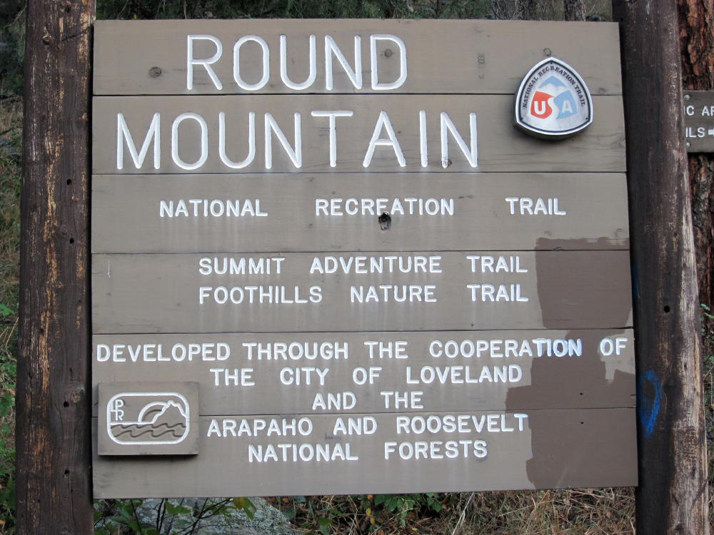
The USFS Round Mountain Trail # 969 leads all the way to the summit of Sheep Mountain. This is a National Recreation Trail; it was built mostly by the CCC in the 1930’s. The upper part is called the Summit Adventure Trail. This is a well-maintained hiking trail with excellent access; the USFS says use is light.
Driving Directions:
• Drive several miles west of Loveland on Highway 34.
• The trailhead is about 4 miles west of the Dam Store
• In the canyon, pass the closed entrance to the Loveland Viestenz-Smith Mountain Park on the right
• Look on the left for a sign
• Immediately turn left onto a marked dirt road leading into the parking area
• There’s space for about 20 cars
• Parking is free
*** In 2017 the Big Thompson Canyon Highway 34, including the area near this trailhead, is closed due to highway re-construction. Check online before going up there!!
Sheep Mountain – Round Mountain Trailhead Sign
This trailhead isn’t labeled on Google Maps, and the Round Mountain Trail is not shown at all!
The Hike:
• Start up the trail on the Foothills Nature Trail, which is property of Loveland.
• After ¼ mile, the Round Mountain Trail splits off to the left at a sign.
• At first the trail climbs gently east, across a steep, north-facing slope
• Then it climbs progressively up the northeast ridge of Sheep Mountain.
• The route leads southwest through some interesting rock formations
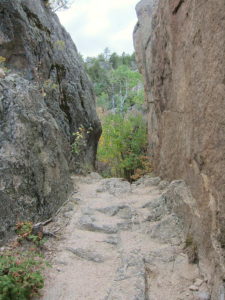
Sheep Mountain, Trail through the Rocks
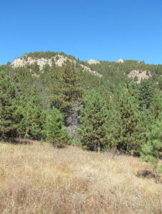
Sheep Mountain – View from Saddle toward Summit
• At 7380 feet, it turns south and contours into a pleasant valley
• The path ascends the head of the valley to the saddle southeast of Sheep Mountain
• From the saddle, the trail climbs 1000 vertical feet, up several switchbacks to the summit.
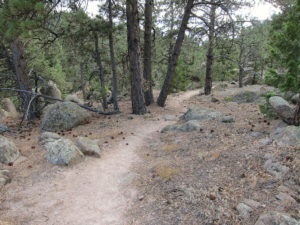
Sheep Mountain Trail near Summit
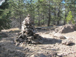
Sheep Mountain Summit Cairn
The only water on the trail is a spring along the trail in the valley, at about 7370 feet. There’s a warning there that the water must be treated to be safe to drink. Carry enough water, or use a pump-filter or other means to purify the available water.
The forested summit is large and relatively flat – the Activation Zone is spacious! There are plenty of pine trees for supporting a pole or a wire. I set up my gear about 100 feet north of the summit, in a pleasant spot at the edge of a small meadow. It was quiet, and I saw no one while I was up there.
Sheep Mountain – KX0R SOTA Activaton near Summit
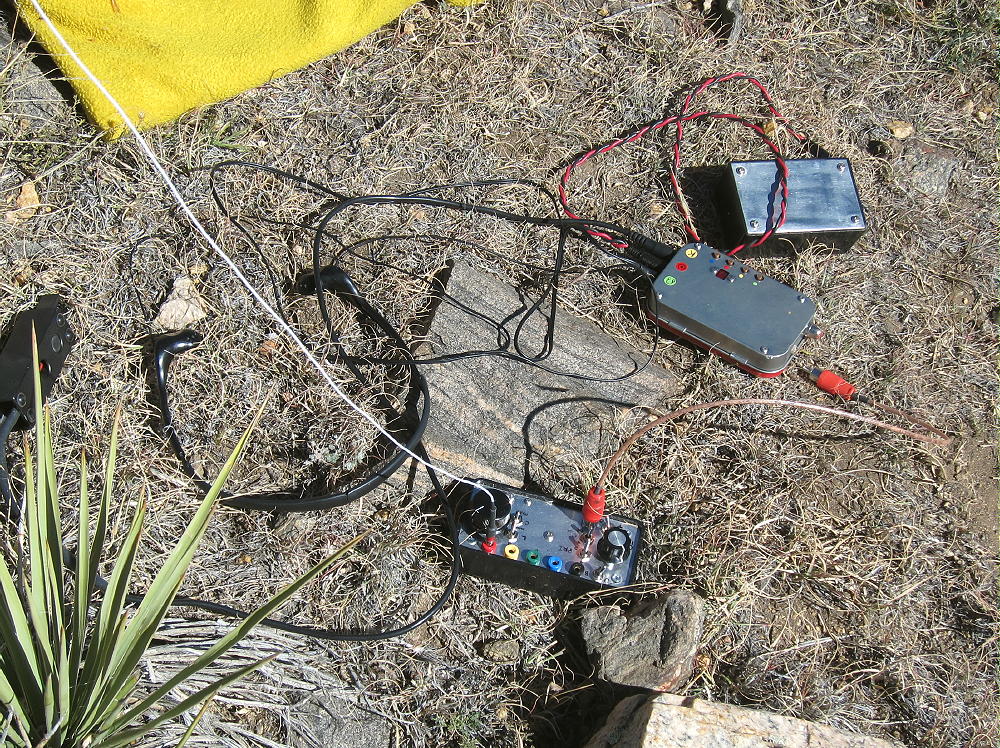
Sheep Mountain – KX0R SOTA Radio Gear
There’s no development or radio equipment on the mountain. Sheep Mountain is an ideal radio site, with no close sources of RF noise, and it’s not blocked by any higher mountains nearby. This peak has pretty good UHF/VHF coverage of much of the greater Denver metro area, as well other cities along the northern Front Range.
My HF SOTA activations on Sheep Mountain have been easy and fun! With an ATS-3B radio, an end-fed wire, and only 5 watts output:
October 7, 2015, I spent more than an hour on the air, and I logged 25 CW contacts on 7, 10, 14, and 18 MHz. This session included one summit-to-summit (S2S) contact.
September 29, 2016, I logged 44 CW contacts on 7, 10, and 14 MHz. This session included two S2S contacts.
Later I enjoyed exploring the top of the mountain and looking for views. This forested peak has no wide vistas, but dramatic views can be found at nearby crags.
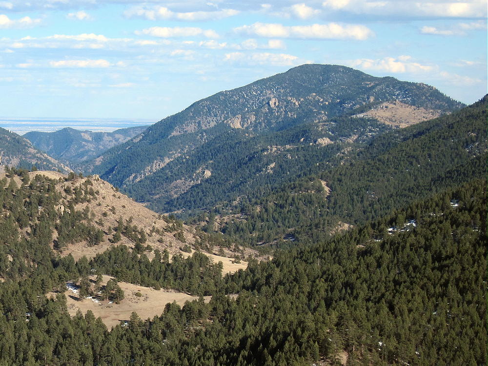
Sheep Mountain – View East
Even though the USFS classifies the Round Mountain Trail as “most difficult”, this is a relative rating. It’s a moderately stiff trail, and it might be better to skip it on a hot day – or start really early. This is a fine climb for experienced hikers with light gear, but it might be arduous for those not used to the altitude, or carrying too much weight. It’s also too long for a good family hike. Unless you’re a SOTA activator, the summit’s slightly disappointing. I thought the hike was really nice in early October!
Of these, Palisade is the easiest peak to combine with Sheep Mountain for a dual activation.
Sheep Mountain – Palisade Summit across the Canyon
Sheep Mountain is a fine SOTA peak with a convenient trailhead. Activators who like to hike with light equipment will enjoy this peak. This is another Colorado two-point summit that comes with lots of exercise and few hassles.
73
George
KX0R
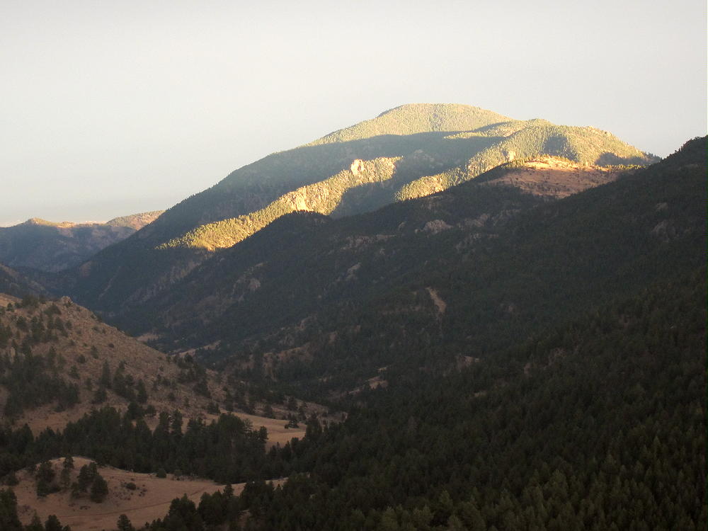
Sheep Mountain, at Sunset from Triangle Mountain
!! WARNING !! There are old mountaineers, and
bold mountaineers… there are no old-bold mountaineers.
Hiking and mountain climbing are potentially hazardous activities particularly in Colorado with its extreme elevations. I am not accepting responsibility for any death or injury resulting from activations based on my trip reports. Proper training, experience, and personal capability assessment is required – enjoy!
W0C/FR-084
Palisade Mountain
2519 m / 8264 ft
Aug 3, 2015
By KX0R
Palisade Mountain is everything its name suggests! It towers high above the Big Thompson Canyon west of Loveland, and its cliffs look impossible to climb. Until I learned about the road up the back side, I avoided this prominent mass of rock.
Key points:
• Roosevelt National Forest
• Near Drake, west of Loveland
• Easy hike
• Maintained trail leads almost to the top
• Little development near the summit
• 2WD dirt road to the tiny trailhead
• ~2.5 miles round-trip
• ~860 vertical feet
• The climb takes less than an hour
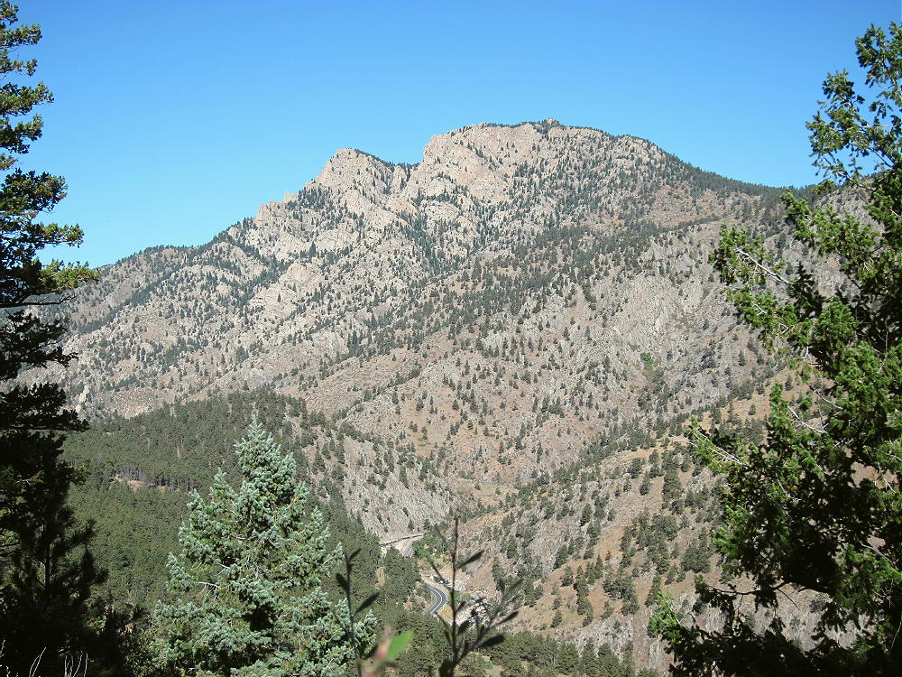
Palisade Mountain from Round Mountain Trail
Driving Directions:
• Drive to Highway 34 and follow it west into the mountains.
• Continue several miles to the town of Drake. This area was heavily damaged in the 2013 floods, and reconstruction is underway.
• Check online about access before going up there
• Turn right on Road 43 at Drake
• Drive about ¼ miles to Storm Mountain Road.
• Turn right, north, and follow the steep 2WD road up a side-canyon.
• At about 7000 feet elevation, the road reaches a plateau and a mountain subdivision.
• Turn right on Palisade Mountain Drive and drive east about 0.3 mile.
• Turn right, south, on Snowtop Drive.
• Follow Snowtop up a small valley about a mile to the trailhead.
• The trailhead is west of a sharp bend in the road, on the south side, at a USFS gate.
• This spot is on the west ridge at about 7400 feet.
Palisade Mountain – Road near Trailhead
Palisade Mountain Trailhead
Snowtop Drive is heavily posted with signs, and parking is allowed only at the tiny trailhead. The trailhead is so small that there’s space for only two or three vehicles. Posted private land is immediately west of the trailhead. This place is mostly used by local residents. In order to park here, avoid weekends, and/or get up there really early.
The Hike:
• Hike past the gate at the trailhead
• Follow a jeep road a short distance east
• An unmarked trail leads east through a meadow toward the mountain
• The route climbs northeast toward the peak
Palisade Mountain Trail near Beginning
The trail ascends around the forested north side of the western sub-peak, avoiding cliffs and steep slopes.
Palisade Mountain Hike, North of Western Sub-peak
At about 8000 feet, the route reaches the saddle between the sub-peak and the summit.
Palisade Mountain Maintained Trail
• The path ascends east and then north, through a rocky section
• Follow the cairns toward the summit, for about ¼ mile from the saddle to the top.
• Scramble up a short, steep, rocky gully – there really is no trail here
• Cairns mark the route – it’s not difficult.
The SOTA activation zone is all granite, but there’s plenty of room to set up HF radio equipment. A pole makes it easy to erect a wire antenna, but it would be possible to improvise with the small trees instead. This is a fine HF site! Palisade is extremely prominent, with no higher peaks close enough to affect HF propagation. It’s probably an excellent VHF/UHF site as well, being farther east than most other peaks in the area. It has an almost clear view out across the plains, as well as south and north across the greater Denver metro area.
Palisade Mountain – View East, Down the Canyon to the Plains
There’s very little HF radio noise on Palisade Mountain. The local houses are far enough away that the noise level is not elevated much. I had a pleasant HF activation on Palisade’s summit. I set up right on top, and the weather was stable.
Palisade Mountain KX0R SOTA Activation
Palisade Mountain SOTA Activation Radio Gear
Summary of radio contacts:
28 CW Contacts 10, 14, 18, 21 Mhz One S2S One DX – EA2LU
Palisade Mountain’s high local prominence makes it a target for lightning. Higher mountains to the west generate thunder storms in spring and summer; it’s essential to climb Palisade on dry days, or early enough to avoid storms.
Palisade Mountain – Summit Knobs
Palisade is low enough that it should be relatively accessible in winter. If the road’s open, and if parking’s available at the trailhead, the route up the mountain would not be difficult with snowshoes, etc.
73
George
KX0R
Palisade Mountain View Southwest to Longs Peak
!! WARNING !! There are old mountaineers, and
bold mountaineers… there are no old-bold mountaineers.
Hiking and mountain climbing are potentially hazardous activities particularly in Colorado with its extreme elevations. I am not accepting responsibility for any death or injury resulting from activations based on my trip reports. Proper training, experience, and personal capability assessment is required – enjoy!
• Pike National Forest
• Good trail most of the way
• No marked route or trail to the summit
• Navigation and route-finding required
• Fine HF site
• Friendly meadows with alpine flowers
• ~14.4 miles round-trip (~3 hours each way)
• ~3100 vertical feet
Kataka Mountain South Side
Driving Directions:
• Drive west from Denver on Highway 285
• About ½ mile before Crow Hill, turn right on Road 43A – this becomes Road 43
• Continue on Road 43 up the Deer Creek Valley for several miles, to the end of the road
• The last section of the road is unpaved but passable in most cars
• Park at the Deer Creek Trailhead at 9300 feet
Kataka Hike – Deer Creek Trailhead
Kataka Mountain – Deer Creek Trailhead
Summary of the route:
• Hike the marked Rosalie Trail 603 all the way up to the saddle at about 11600 feet
• At the sign go left on Three Mile Trail 635
• Continue south to the willows east of Kataka
• Hike through or around the willows near the south side
• Climb up the tundra on the east side of Kataka
• Continue to the summit near the south end of the mountain
Additional details:
Most of the route is in the Mount Evans Wilderness. This is a protected area with special rules. There is no charge for parking or entry. The Rosalie Trail follows Deer Creek up a beautiful valley, all the way to the alpine tundra.
Kataka Mountain – Deer Creek
This is a high-quality hike on its own. An early start is advised, especially if thunderstorms are in the forecast.
Kataka is visible above tree-line; at the sign where the trail splits, the dome-shaped mountain is obvious to the southwest.
Kataka Mountain – Trail Junction
Kataka Mountain – Southeast Side
It’s not far to the willows east of Kataka. The southern part of the willow area has gaps and paths through the bushes; avoid the dense northern part. This area looks like it would be wet in early summer, but it was no problem July 11, 2015.
The summit is about 700 vertical feet above the saddle near the willows. There’s no trail up to the top. The climb up the tundra is not difficult – stay north of the steep, rocky slopes on the southeast side. The Google satellite image shows many key details. The northeast slopes also may provide a good route.
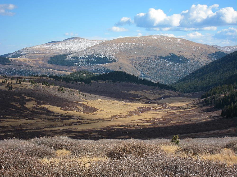
Kataka is a massive mountain with a large, rounded top. The summit surprised me – it was very beautiful, with lush vegetation and many alpine flowers. It’s a friendly place in good weather. There’s little evidence of other visitors. The views are wonderful in all directions! Mount Evans and Mount Bierstadt stand high to the north, and broad Mount Logan dominates the southeast.
Kataka Mountain – View East toward Mount Evans
Kataka Mountain – View South to Mount Logan
Rosalie Peak is three miles to the northeast, and Geneva Mountain is only two miles to the northwest. All of these mountains are fine SOTA peaks!
Kataka Mountain and Mount Logan from Geneva Mountain, Mid-October
Kataka also looks southwest across Kenosha Pass into South Park. Some of the Collegiate Peaks are visible far beyond; if it’s clear, the tops of the Crestones are visible above other peaks far to the south.
The large activation zone is mostly alpine tundra and boulders. I set up my pole and gear slightly east of the peak to avoid the breeze. Because Kataka is surrounded by higher mountains in several directions, it’s probably not a good VHF/UHF site. There may be some coverage down the valley to the east, as well as into South Park.
Kataka Mountain – KX0R SOTA Activation
Kataka Mountain – SOTA Activation Radio Gear
This peak is a fine HF location. All development is miles away, so the HF noise level is low. The surrounding peaks don’t attenuate HF sky-wave signals much. I had a fine SOTA session, with 32 contacts on 10-14-18-21 MHz CW. I was on the air for over 80 minutes, and I didn’t want to shut down.
Kataka Mountain should be climbed on a dry day with a low probability of thunderstorms. My hike required just over three hours from the trailhead to the summit – I was pushing pretty hard, because clouds were gathering as I climbed. An early start is essential, because the hike is long, and a good activation requires a long time on the summit.
• Pristine wilderness location
• Beautiful hike up the Rosalie Trail
• Challenging distance
• Significant vertical gain
• Wonderful setting among higher peaks
• Seldom visited
• Friendly summit with flowers and great views
• Great HF radio site
Kataka Mountain View of Mount Bierstadt and Mount Evans
This mountain is recommended only for SOTA activators who enjoy long, fast hikes at high altitude. Lightweight gear is essential.
It’s possible to climb Kataka from the west via the Three Mile Trail. The trailhead is along the southern part of the Guanella Pass Road, about three miles north of Grant. This equally-scenic route is about the same difficulty as the route from the east!
Kataka Mountain and Mount Logan above Scott Gomer Creek, Mid-October
There are other SOTA peaks in the area of Kataka Mountain. Possibilities for a challenging dual activation include:
Camping nearby might make it practical to activate multiple summits in the area. Numerous forest campgrounds and campsites are within a few miles of Kenosha Pass; backpack camping in the Mount Evans Wilderness is allowed – but special rules apply.
Let’s keep Kataka pristine – tread gently on its fragile alpine meadows!
73
George
KX0R
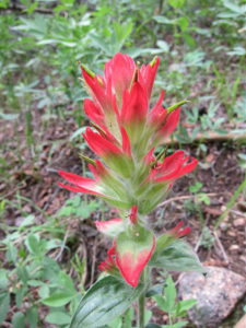
Kataka Mountain Hike – Indian Paintbrush
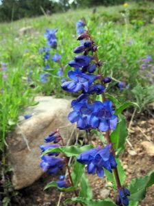
Kataka Mountain Hike – Penstemons
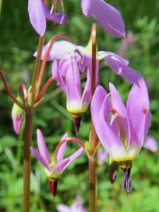
Kataka Mountain Hike – Shooting Stars
!! WARNING !! There are old mountaineers, and
bold mountaineers… there are no old-bold mountaineers.
Hiking and mountain climbing are potentially hazardous activities particularly in Colorado with its extreme elevations. I am not accepting responsibility for any death or injury resulting from activations based on my trip reports. Proper training, experience, and personal capability assessment is required – enjoy!
W0C/FR-086
Coffintop Mountain
2457 m / 8060 ft
July 18, 2013 First Activation
May 3, 2014
May 17, 2015
May 12, 2016
By KX0R
Despite its name, Coffintop Mountain is a fun, challenging summit in the mountains west of Lyons, Colorado. This peak offers an exciting SOTA activation.
Key points:
• Mountain in Roosevelt National Forest
• Wild area – few visitors
• No development on or near the mountain
• Access via Buttonrock Preserve (City of Longmont)
• Free parking at Buttonrock Trailhead, via Longmont Dam Road, CR 80.
• Special rules apply in the Preserve
• Upper part of route is mostly off-trail
• Good navigation and route-finding required
• My ascent required about 2-3/4 hours; descent was slightly less
• Trailhead elevation ~ 6000 feet
• Round-trip distance ~ 10 miles
• Total elevation gain ~ 2050 vertical feet
• SOTA Classic!
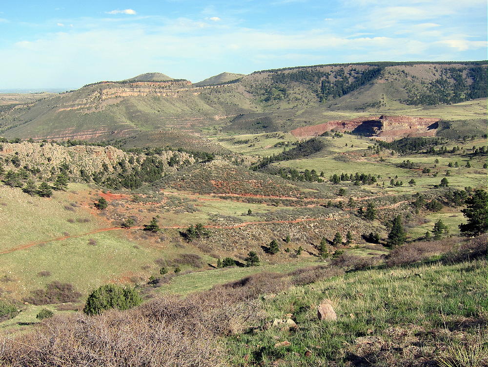
Coffintop Mountain from Hall Ranch
Driving Directions:
• First drive to Lyons, Colorado.
• Continue northwest on Highway 36 for about 3 miles
• The road follows the North Saint Vrain Creek through a rocky canyon.
• Just before the highway starts up a long hill, marked County Road 80 leads left across a bridge over the creek – tricky left turn.
• Follow dirt road 80, Longmont Dam Road, about 3 miles to the Buttonrock Trailhead.
• There’s no fee for entry or parking.
The Hike:
• Walk west up the scenic canyon on the gated service road.
• The road leads by a small reservoir called Longmont Reservoir.
• Continue up the canyon about ¼ mile to the marked Sleepy Lion Trail
• Follow Sleepy Lion up a side canyon on the south side of the road.
• Continue up Sleepy Lion until it connects with the Buttonrock Trail.
• Follow the Buttonrock Trail up toward the northeast ridge of Coffintop.
Coffintop East Side from Buttonrock Trail
Route Explanation:
There’s no marked trail from the Buttonrock Trail to the top of Coffintop. It’s necessary to leave the trail, ascend south, and meet the northeast ridge of Coffintop. The northeast ridge provides efficient, fun access to the summit. A social/game trail with some cairns leads up along this ridge. It’s essential to have a detailed topo map and compass to navigate through the rugged terrain. A GPS with map data is very helpful. This expedition is recommended only for hikers with off-trail experience in similar terrain.
Coffintop – Northeast Ridge from Hall Ranch
Several possible routes provide access to the northeast ridge of Coffintop. Since some of the Boulder County land at the western edge of the Hall Ranch is a closed “conservation area”, hiking all the way up the Buttonrock Trail to the ridge is not the best option. A pleasant shortcut through the National Forest leads directly up to the northeast ridge and avoids crossing through the closed County area. This efficient route follows an abandoned road along a small creek up a secluded valley. The Buttonrock Trail meets this abandoned road at a sharp left-turn bend, at about 6500 feet elevation, where the main trail intersects the creek drainage. The old road is visible from the main trail, and it starts out on the west side of the creek.
The coordinates of this key junction are:
N 40 12.934’ W 105 20.657’ (WGS84)
or
40.2156 -105.3442
Coffintop Secret Trail Junction with Buttonrock Trail
Coffintop – Secret Trail up to East Side of Coffintop
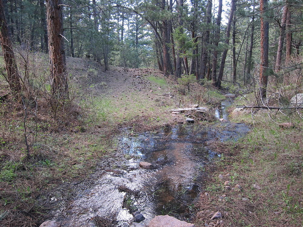
After climbing for about 0.4 miles along the forested creek, the old road passes by an old water trough at about 6710 feet elevation.
N 40 12.676’ W 105 20.492’
or
40.2112 -105.3415
Coffintop Stock Trough on Secret Trail
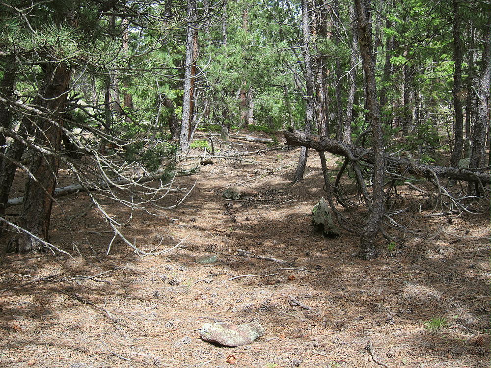
Above the trough, head east up a slope for several hundred feet up to an open meadow. Stay west of the old road visible in the meadow to the east – that road doesn’t lead to the summit. From the meadow look southwest, and find an opening on a little hill heading up toward the northeast ridge of Coffintop. An old trail leads up the ridge just south of the ridgetop. This rough route runs a long way up toward the summit. Following this trail is a challenge, but the route is efficient and avoids many hassles. Parts of the trail run along a Vee-shaped gully. Avoid any steep slopes or cliffs.
Coffintop Northeast Ridge Route – Old Abandoned Trail/Road
A key waypoint on the northeast ridge at about 7080 feet elevation is at:
N 40 12.510’ W 105 20.672’
or
40.2085 -105.3445
Above this point the route climbs progressively up the ridge through the forest. At about 7400-7500 feet elevation the path is sketchy, and the route I follow is on the north side of a ridge. Avoid any steep rocks.
A waypoint in that area of the northeast ridge at about 7440 feet elevation is:
N 40 12.244’ W 105 20.979’
or
40.2041 -105.3496
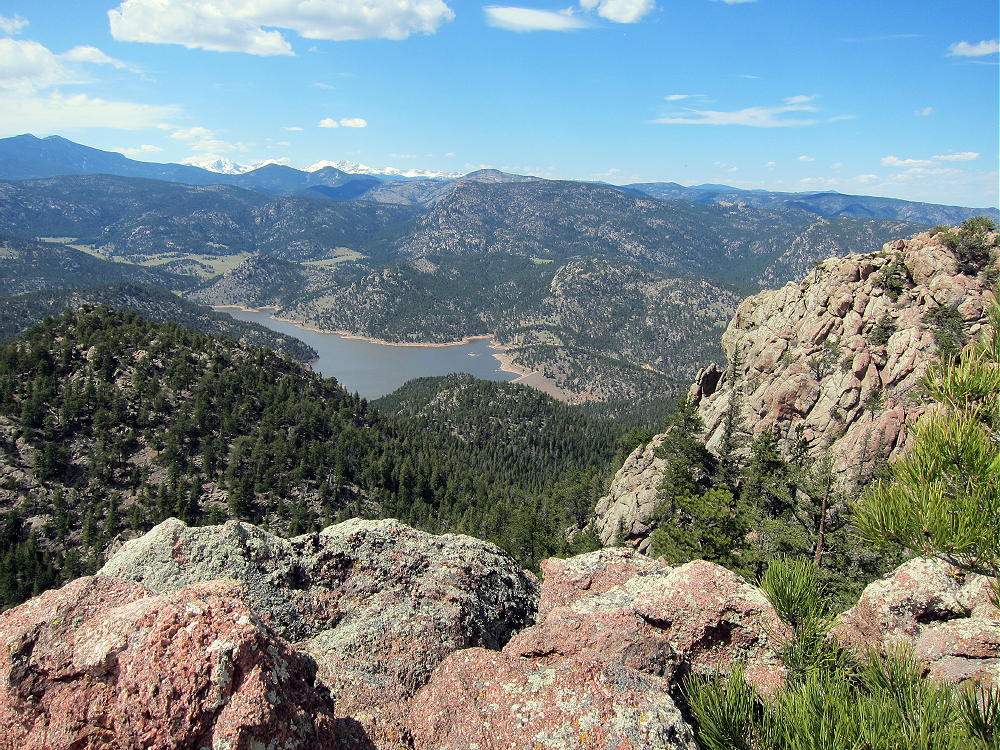
Above about 7600 feet elevation, continue ascending the northeast ridge; follow cairns leading up a shallow gully, just south of some rock outcrops east of the summit. Soon the route passes south of the north summit; the south summit is about 450 feet further along the rocky ridge. The views west are stunning!
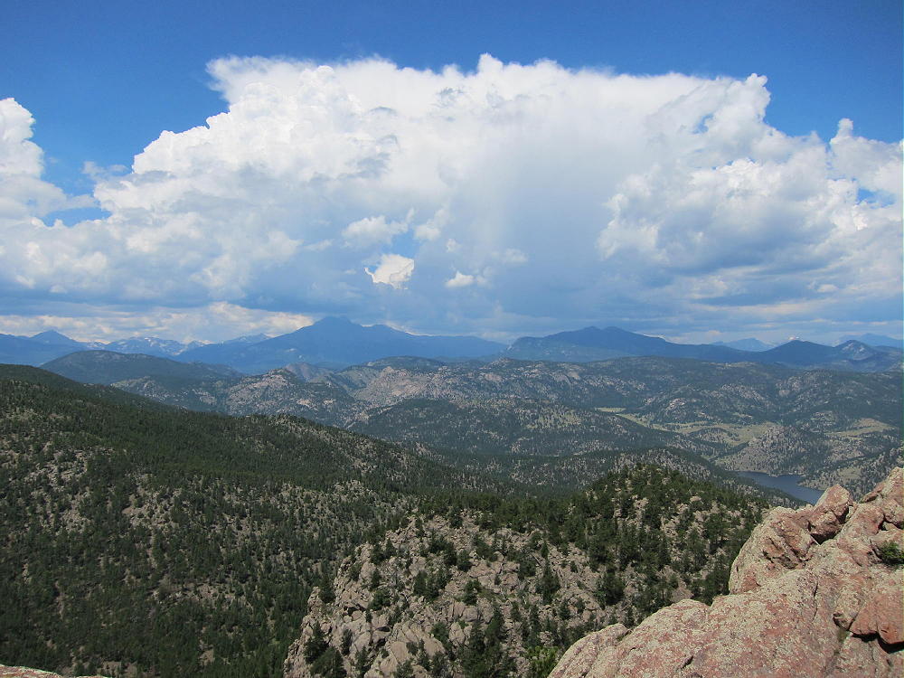
Coffintop – View Northwest – Twin Sisters, Cook Mountain, Ralph Price Reservoir and Buttonrock Mountain
Note that most of Coffintop Mountain, including the part of the northeast ridge used for this route, is within Roosevelt National Forest.
Which summit is the highest point?
I made various GPS measurements – my GPS has a barometric altimeter that helps stabilize the readings, allowing approximate comparisons of closely-spaced points. I could not determine which summit is the actual peak – they are within a few vertical feet of each other. My measurements from two trips suggest that both summits and the connecting ridge are within the activation zone. Visually it looks that way also.
Coffintop – South Summit from North Area
Coffintop – North Summit from South Area
The Google maps on the SOTA summit page show the red balloon for the summit on the south peak, so activating this would seem to remove any doubt. Lists of John also shows the south summit as the peak, and the list says 8060 feet, but none of the online maps on that site support that elevation for the south summit. However, the Google map shows the green summit symbol on the north peak. Significantly, the historical USGS 7-1/2 minute topo map (Lyons Quadrangle) clearly shows the north summit with an additional contour line at 8040 feet, but this contour only appears on the north summit. The altitude of the north summit is designated as 8049 on the map – indicating that USGS thought the north summit is the real peak.
However, the current USGS digital map for the Lyons quad online shows the south summit within a closed contour of only 8000 feet. The contour interval is 40 feet. The north summit is not shown above 8000 feet! I cannot see where the number 8060 came from – this does not agree with the current USGS digital data. That data says that the south summit is the peak, and it is less than 8040 feet. This current map appears to confirm that the Activation Zone includes both summits and the connecting ridge.
Pick whichever summit you like for your activation, and set up well within 75 vertical feet of the top. There are plenty of nice spots in the Activation Zone. The ridge provides shelter from the west wind, and numerous trees are available to hold a pole or a wire antenna.
Coffintop – KX0R SOTA Activation
Coffintop is a classic radio site. Its prominence and eastern position provide wide views out across the Plains. Only a few slightly higher mountains stand near the mountain in other directions, so this peak is an almost ideal HF site. HF noise is very low. There are plenty of trees and rocks for supporting a wire or a pole.
This peak is probably a pretty good VHF/UHF site. The view is clear from southeast to northeast. Some other mountains partially block signals north and south of the mountain – western parts of Denver, Boulder, and Fort Collins are not directly visible.
• Interesting, challenging hike
• Convenient access
• Wild area
• Exciting, prominent summit
• Great views
• Excellent radio site
• Nice activation zone
• Seldom visited
Coffintop View of Longs Peak up the North Saint Vrain Canyon
Coffintop’s prominence makes it a target for lightning. Higher mountains to the west generate thunder storms in spring and summer, so it’s essential to climb Coffintop on dry days, or early enough to avoid storms. Don’t let Coffintop put you in a coffin!
Coffintop – View of Storm Developing to the West
Hiking in Buttonrock Preserve is a special privilege. This is a watershed for the City of Longmont, and it’s a protected area. Longmont is very generous in allowing access to the public. Many cities, including Boulder, don’t allow hiking in some of their watershed areas. It’s important to understand and obey the rules while in the Preserve. Fortunately, these rules are simple and clear:
• NO Camping
• NO Overnight parking
• NO Bicycles
• NO Horses
• NO Fires
• NO Hunting
• NO Firearms
• NO Boats or Floating Devices
• NO Swimming
• NO Resource Collection or Removal
• Fishing in the Reservoir requires a special permit
Note that hiking off-trail is NOT prohibited. Please respect and obey the Preserve rules so that continued access will be allowed.
Coffintop also can be accessed from the huge, beautiful Hall Ranch, Boulder County Open Space, east of the peak. The Hall Ranch Trailhead is located north of South Saint Vrain Highway 7, about a mile west of Lyons. There’s no fee to park, but special rules apply. The Nighthawk Trail leads all the way up to the Buttonrock Trail northeast of Coffintop. This is a much longer route than from the Buttonrock Preserve, but it’s very scenic.
Coffintop – Hall Ranch Open Space Trail
Several other more challenging approaches can be used to climb Coffintop.
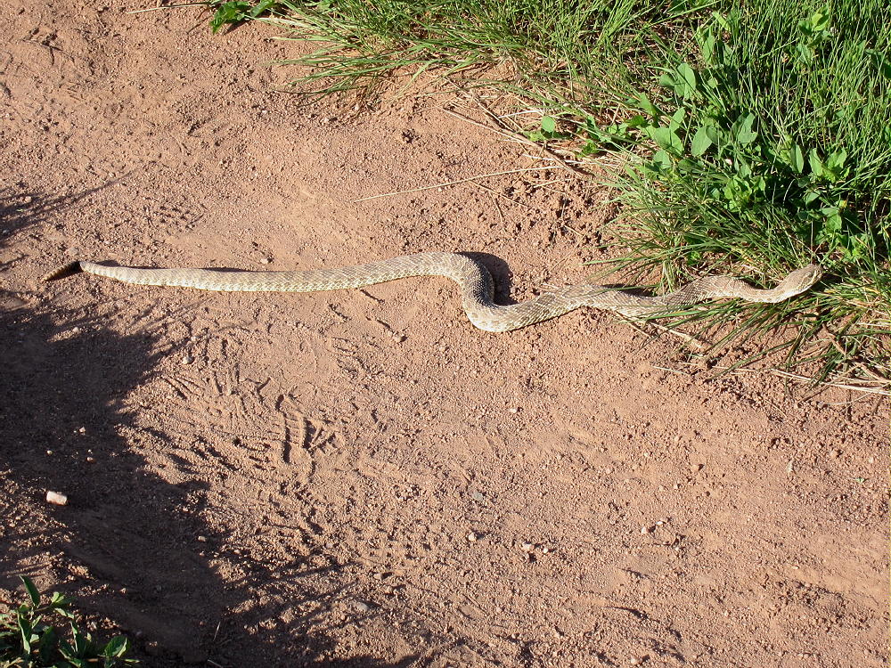
Be aware that rattlesnakes are common at both Hall Ranch and Buttonrock Preserve!
Coffintop – Hall Ranch Rattlesnake
73
George
KX0R
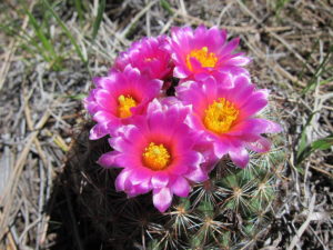
Coffintop Hike – Ball Cactus
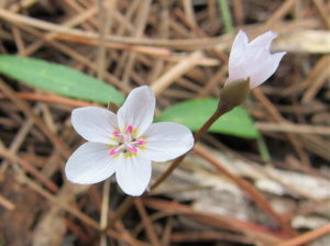
Coffintop Hike – Spring Beauties
!! WARNING !! There are old mountaineers, and
bold mountaineers… there are no old-bold mountaineers.
Hiking and mountain climbing are potentially hazardous activities particularly in Colorado with its extreme elevations. I am not accepting responsibility for any death or injury resulting from activations based on my trip reports. Proper training, experience, and personal capability assessment is required – enjoy!
 !! WARNING !! There are old mountaineers, and
bold mountaineers… there are no old-bold mountaineers.
Hiking and mountain climbing are potentially hazardous activities particularly in Colorado with its extreme elevations. I am not accepting responsibility for any death or injury resulting from activations based on my trip reports. Proper training, experience, and personal capability assessment is required – enjoy!
!! WARNING !! There are old mountaineers, and
bold mountaineers… there are no old-bold mountaineers.
Hiking and mountain climbing are potentially hazardous activities particularly in Colorado with its extreme elevations. I am not accepting responsibility for any death or injury resulting from activations based on my trip reports. Proper training, experience, and personal capability assessment is required – enjoy!