SOTA outings by KØMOS and contributors

Tag: KX0R

  • WØC/FR-Ø7Ø (Castle Mountain) – 2693 M / 8834 ft

    WØC/FR-Ø7Ø
    Castle Mountain
    2693 M / 8834 ft
    Nov 09, 2013
    First Activation
    Apr 25, 2014

    by KXØR

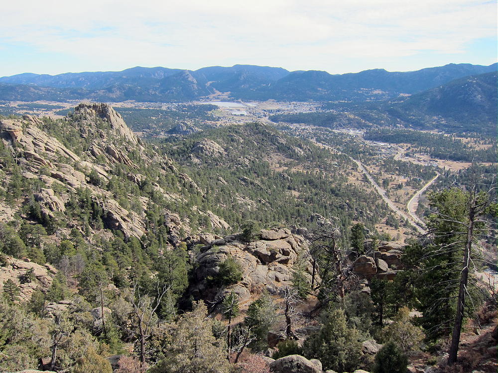
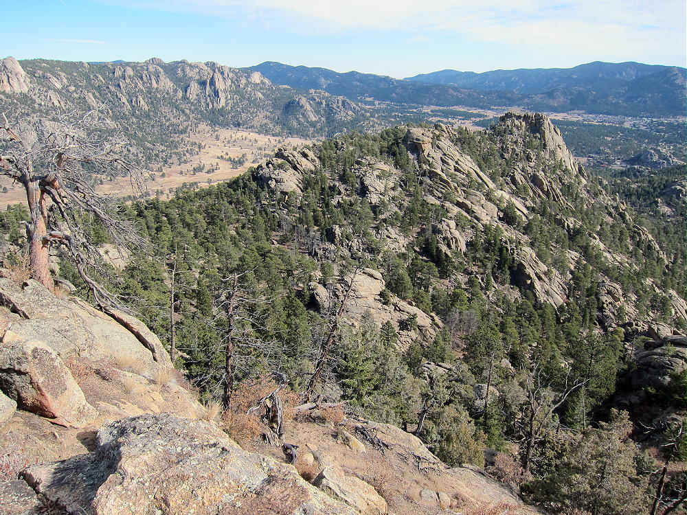
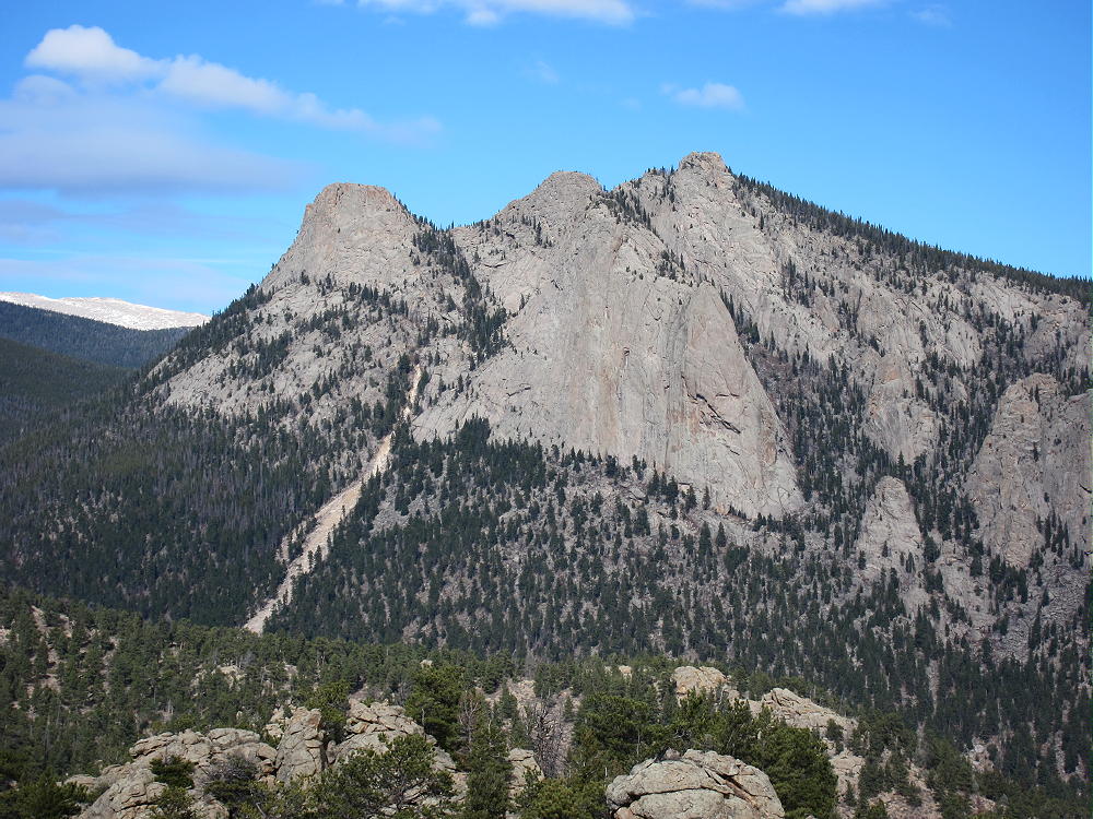
    Castle Mountain is an interesting minor summit in the eastern part of Rocky Mountain National Park, right above the town of Estes Park. It provides a fun SOTA activation.
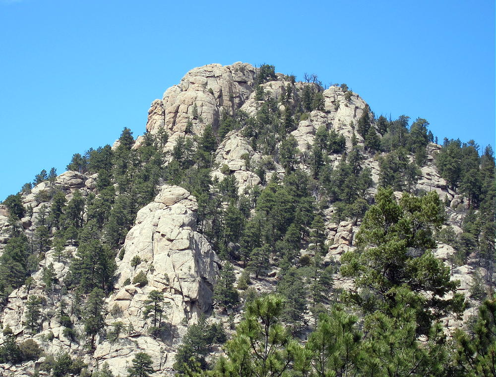
    Castle Mountain
    Castle Mountain

    Since this trip has no marked route, and the terrain is steep, good navigation is required. Study the route, take a topographic map, and follow the directions here to stay on National Park land. The key to Castle is to know where to start the hike.

    Drive to Estes Park, take the Highway 34 Bypass north (W. Wonderview Ave), drive past the Stanley Hotel and west about 1-1/2 miles, almost to the junction where W Elkhorn Avenue (also Route 34) meets the Highway 34 Bypass west of town. A convenient paved parking spot is on the south side of the Route 34 Bypass, just east of the junction.
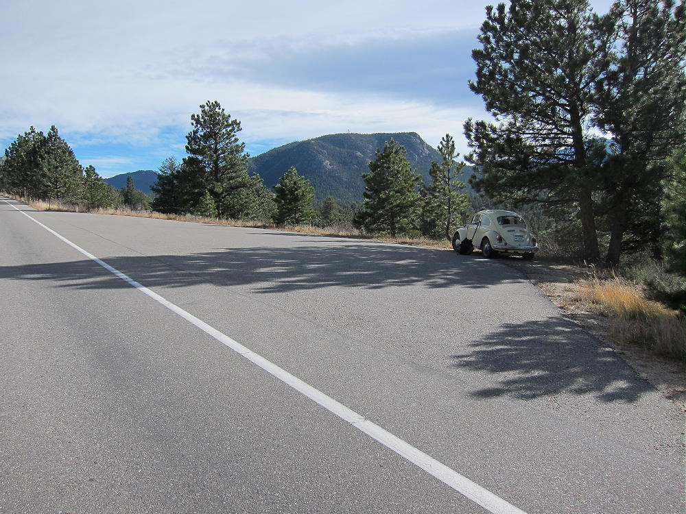
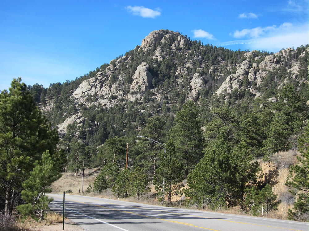
    Castle Mountain Parking on 34 Bypass
    Castle Mountain Parking on 34 Bypass
    Castle from Highway 34 Bypass
    Castle from Highway 34 Bypass

    Right across the highway you can see the NPS signs on posts. The land from the highway to the top of the Mountain is part of Rocky Mountain National Park (RMNP). No fee or pass is required for this adventure!
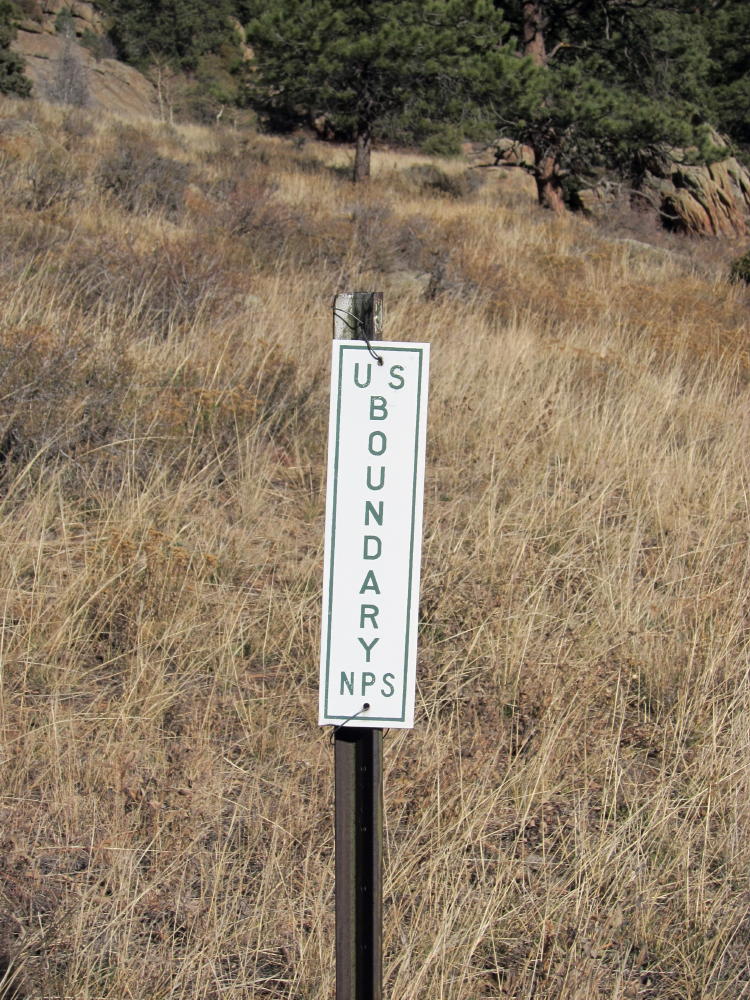
    Castle NPS Marker near Highway
    Castle Mountain NPS Marker near Highway

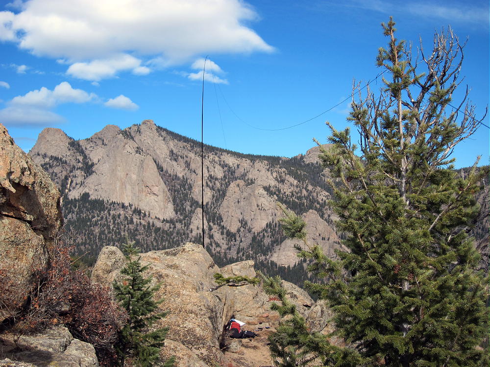
    Cross the highway and head up a faint path in the gully north of the parking spot. Stay on the west side of the draw to avoid private land just to the east. After about ½ mile, the gully ends at a saddle near 8000 feet. From this saddle, head first northwest, and then west up the steep ridge toward Castle – there is nothing to follow except bits of game trails. No rock climbing is required – just head up the slope to the rocky ridge leading west toward Castle. On the ridge, stay slightly south to keep inside RMNP. Drop down slightly to a saddle east of the Summit, and continue west up to the easy summit ridge. Climb south toward the obvious peak, and then do a few easy class 3 moves to ascend the prominent summit. Right below the top is a good place to set up and operate. The Needles, McGregor Mountain, Deer Mountain, etc., are close to Castle. Estes Park is over a thousand feet right below. This is a super radio site – like being on a tower! I worked 2 G’s and an EA on 15M CW – 30 Q’s in all.
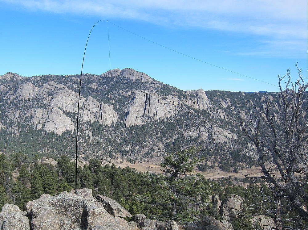
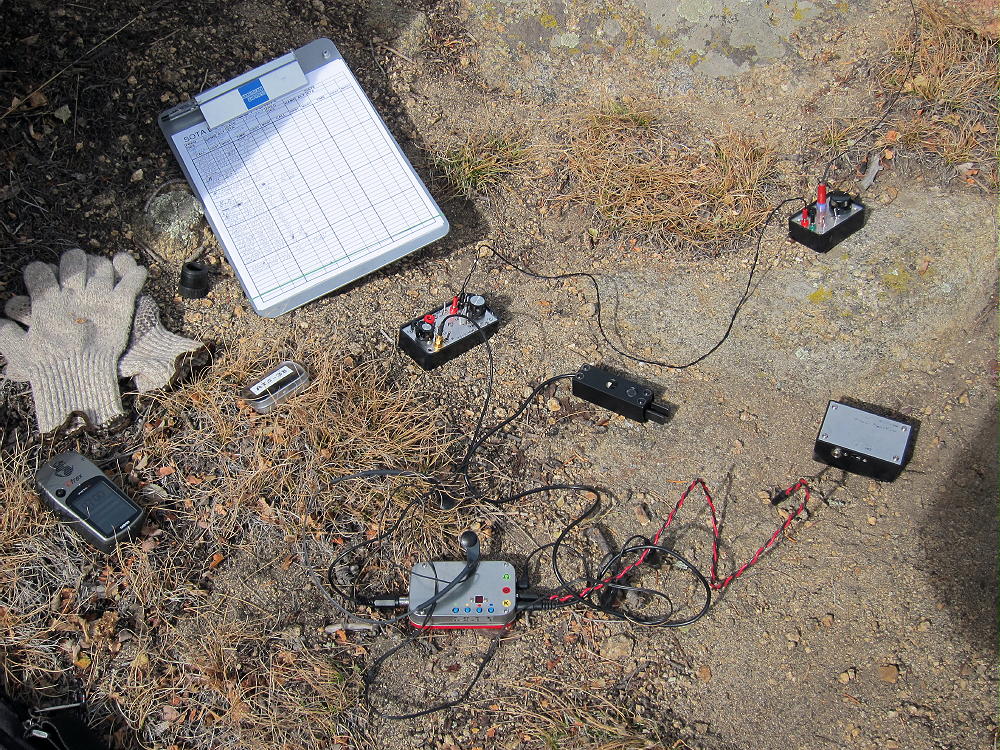
    There is an alternate shorter route up Castle: from the parking spot, cross the highway, and hike a couple hundred yards northwest – avoid private land near the highway. Find an old road leading toward a major gulch southeast of Castle Mountain – follow the road a short distance up.
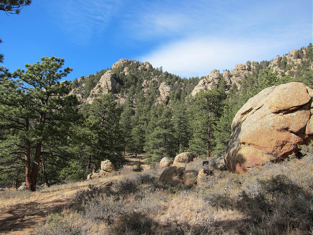
    Castle Mountain and Old Road to Gulch East of Summit
    Castle Mountain and Old Road to Gulch East of Summit

    At the end of the road, just head up into the gulch, and climb up a steep, washed-out trail all the way to the saddle east of Castle. It’s steepest midway up.
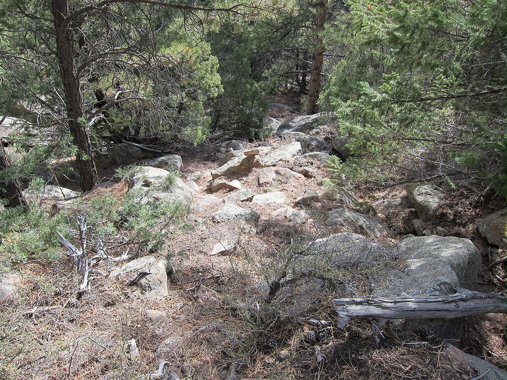
    Castle Route in Main Gulch
    Castle Mountain Route in Main Gulch

    From the saddle, continue west and then south to the summit as described above. Be sure to descend the same way to avoid cliffs and crags.

    Castle Mountain can easily be combined with other SOTA peaks near Estes Park for a dual or multiple activation.

    73

    George Carey Fuller
    KXØR

    ATTENTION !! WARNING !! There are old mountaineers, and bold mountaineers… there are no old-bold mountaineers. Hiking and mountain climbing are potentially hazardous activities particularly in Colorado with its extreme elevations. I am not accepting responsibility for any death or injury resulting from activations based on my trip reports. Proper training, experience, and personal capability assessment is required – enjoy!
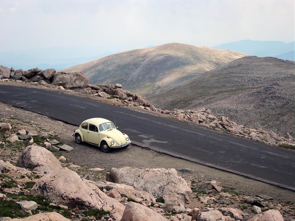
  • WØC/FR-ØØ7 (Rosalie Peak) – 4138 m / 13575 ft

    W0C/FR-007
    Rosalie Peak
    4138 m / 13575 ft
    August 16, 2013
    August 3, 2014

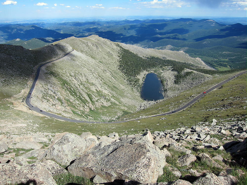
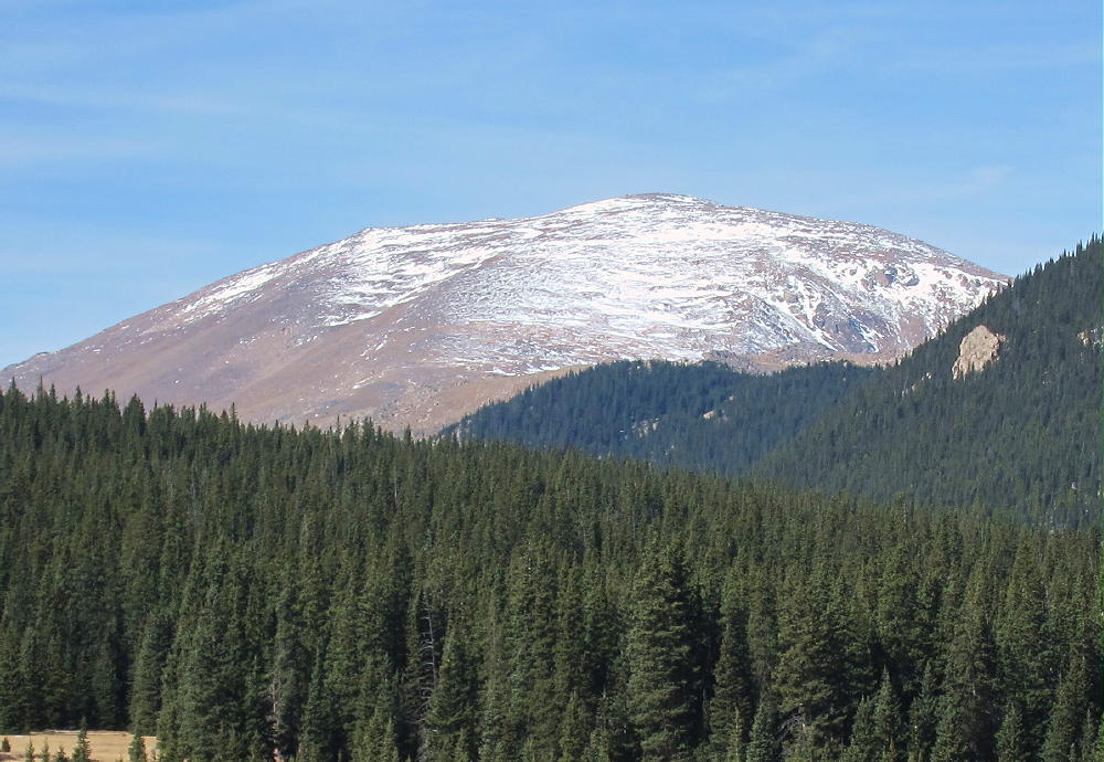
    Rosalie Peak is a nice alpine SOTA peak about 3 miles southeast of Mount Evans.

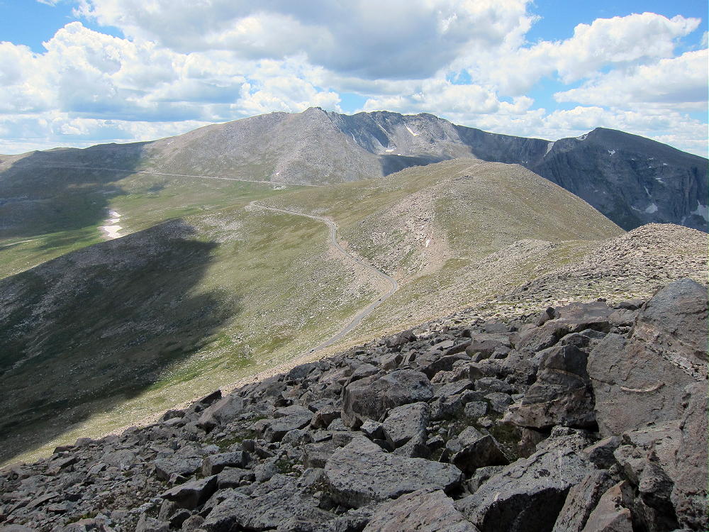
    To climb Rosalie, start early and drive up the Mount Evans Highway. A fee may be required for the highway. Convenient parking spots are located near the 13,200 foot contour, just above a broad pass to the south. There is no trail to Rosalie. Hike south from the highway, across the marshy pass, and up the easy slope of the first minor peak – elevation about 13,500 ft. Go over this summit, or around the easy east side of the peak, and cross the broad saddle to the southeast.

    Climb the next minor peak – elevation about 13,520 ft – and look at the route more than 500 feet down to the deep saddle between 13,520 and Rosalie. I found a good descent route down and around the east side of 13,520; this avoids the steep rocks directly below 13,520.

    From the saddle at about 12,950 feet, the 625-vertical foot hike up Rosalie is an easy mix of rounded rocks and tundra.

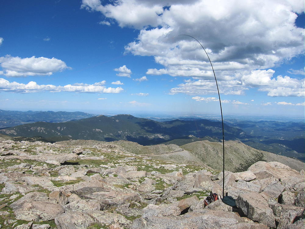
    The broad rocky top of Rosalie has a large activation zone, and setting up is easy. There is little shelter from wind, other than the mountain itself. This is a near-perfect radio site, with excellent low-angle HF, VHF, and UHF coverage in many directions.

    An activation of Rosalie may be combined with an activation of another peak or peaks in the Mount Evans group – weather permitting.

    On a good summer day, the high hike out to Rosalie and back is a pleasant alpine hike. It’s about 2 miles each way; the total vertical ascent for the round-trip is about 1500 vertical feet. The air is thin, but the scenery is continuously superb. On a stormy day, this ridge-top trip could be a horror show – there is no shelter. Pick a good day and start early!

    Rosalie can also be climbed by other routes – check this link out!

    73

    George Carey Fuller
    KX0R


    ATTENTION !! WARNING !! There are old mountaineers, and bold mountaineers… there are no old-bold mountaineers. Hiking and mountain climbing are potentially hazardous activities particularly in Colorado with its extreme elevations. I am not accepting responsibility for any death or injury resulting from activations based on my trip reports. Proper training, experience, and personal capability assessment is required – enjoy!
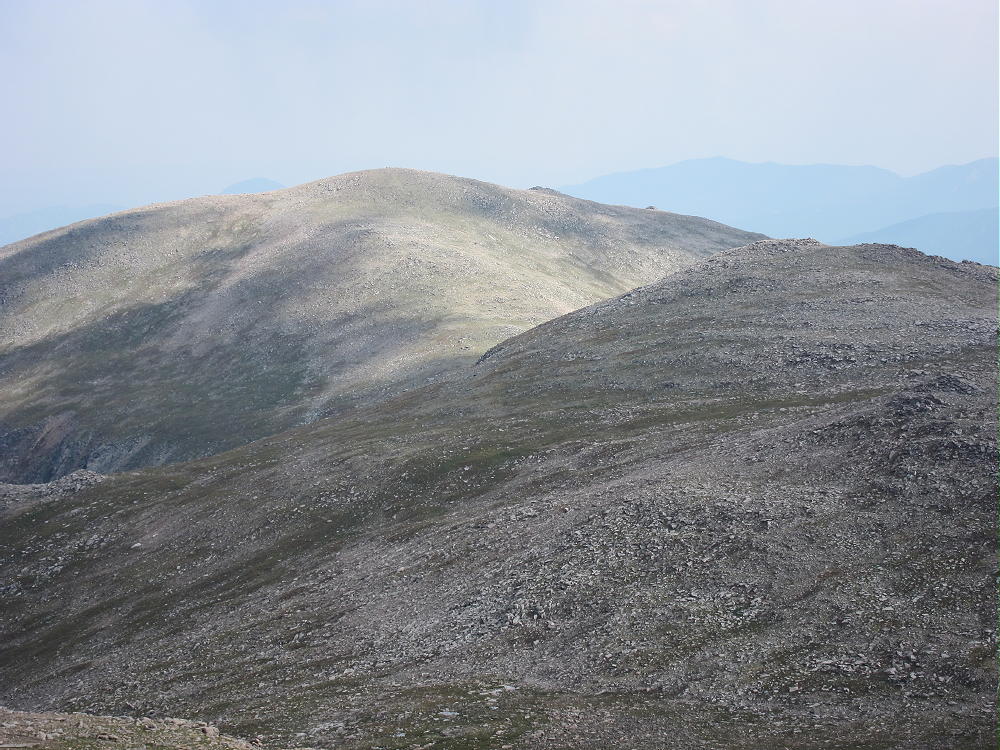
  • WØC/FR-164 (Visitor Point) – 2896 m / 9501 ft

    W0C/FR-164 (Visitor Point)
    2896 m / 9501 ft
    Sep 26, 2013 First Activation
    Mar 28, 2014 Second Activation

    by KX0R

    Visitor Point is like a secret SOTA peak in Golden Gate Canyon State Park. This seldom-climbed summit is close to the Denver metro area. Although the mountain is partly surrounded by private land, the access and summit are in the State Park.

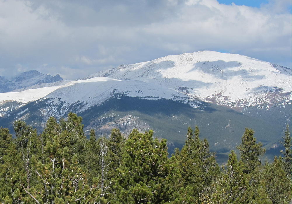
    Visitor Point from Centralia Mountain
    Visitor Point from Centralia Mountain

    Drive to Golden and head west up Golden Gate Canyon. The road is on the north side of Golden at a light on highway 93. It’s about 15 miles up curvy paved Road 70 to the State Park. About a mile before the Visitors Center, the road runs across a low pass, with Visitor Point above on the right. There is even a road there marked Golden Gate Drive, but it leads into a private development. Stay on the main highway, and drive north and down into the Ralston Creek drainage. At the bottom, right after the road crosses the creek, there is a signed junction, and the Visitor Center is just 100 yards to the right, next to the creek. There are some interesting exhibits in the building, as well as restrooms and helpful State Park people. At the Visitor Center you can buy a Park Pass, which you must display in order to park your car in the Park.

    Amazingly, there is no trail from the Visitor Center to Visitor Point, which stands 1300 vertical feet up to the southeast. Most of the route is off-trail, but the navigation is not difficult. A compass and topo map are required; a GPS with a map-set is useful here.

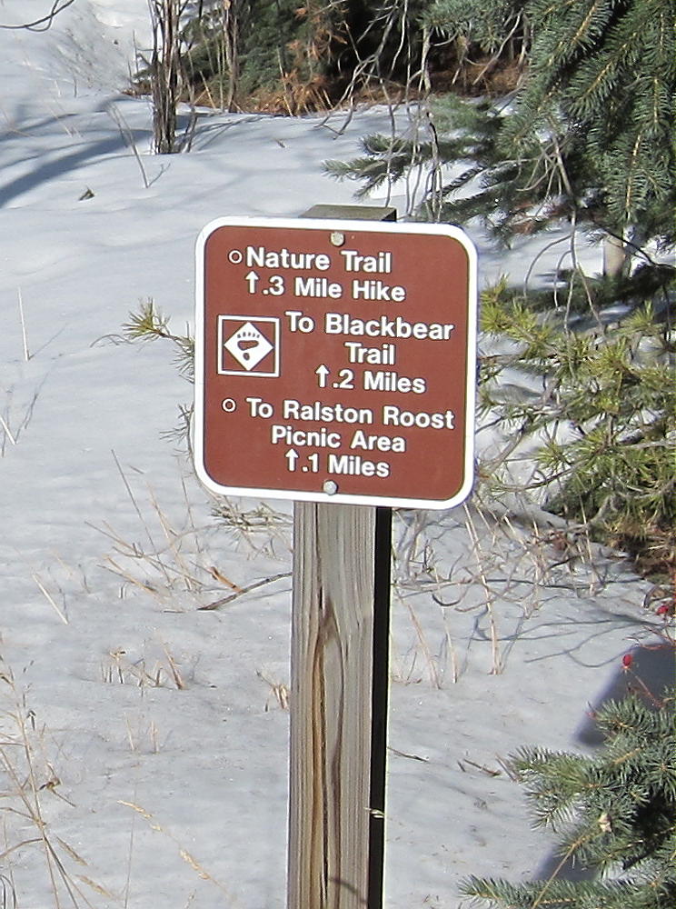
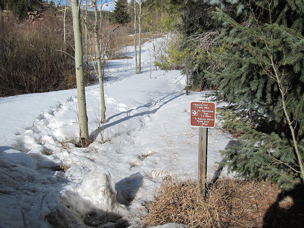
    Park at the Visitor Center and follow the Nature Trail / Bear Trail that heads east from the parking lot, along the south side of the creek.

    After only about 100 yards, there is a marked junction. Turn right, follow the nature trail about 100 feet into a small draw, and head off the trail and uphill to the southeast. Climb the obvious ridge on the east side of the draw, and try to follow an old abandoned trail that leads south up the ridge for a short distance. There is no marked route to the summit, and most of the climb consists of picking your way up the north side of the mountain through a forest of lodge-pole pines and aspen trees. This is a “bushwhack trip”, except that there aren’t many bushes.

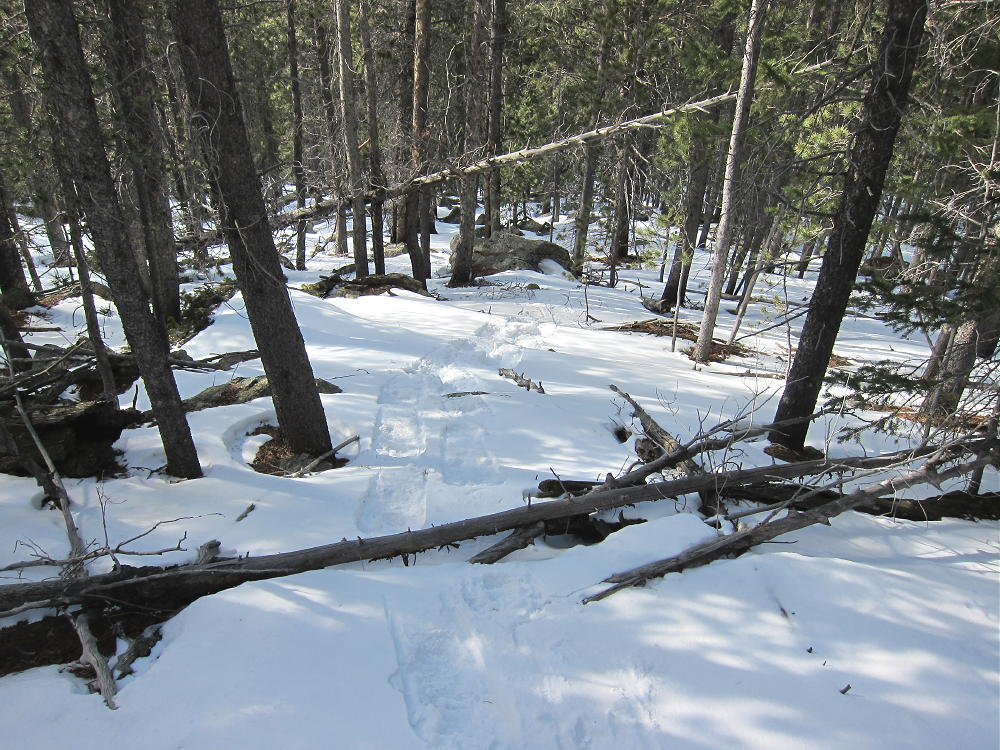
    Snowshoe Route up North Side of Visitor Point
    Snowshoe Route up North Side of Visitor Point

    There is a rocky steep section part way up, but it’s easy to switchback east and get around it. There are bits of game trails that provide useful routes here and there. Although the summit is always hidden by the forest, just head southeast and uphill and you’ll get there. There are no cliffs or talus – just a classic north-slope montane forest. In summer it’s a refreshing, shady morning hike, and in winter it’s a moderately-difficult off-trail snowshoe ascent. With deep powder it could be a tough route to do – but when I went up there in late March, the snow was crusty most of the way, and the 1 to 2 feet near the top covered up many logs and rocks, making for a very reasonable snowshoe trip.

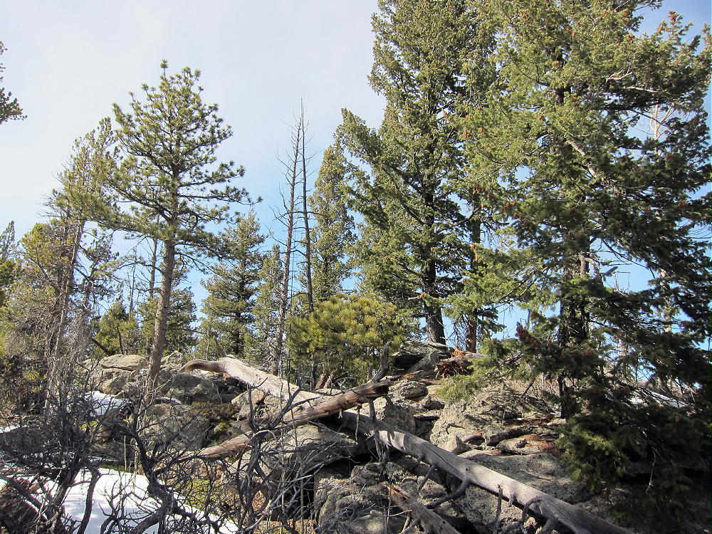
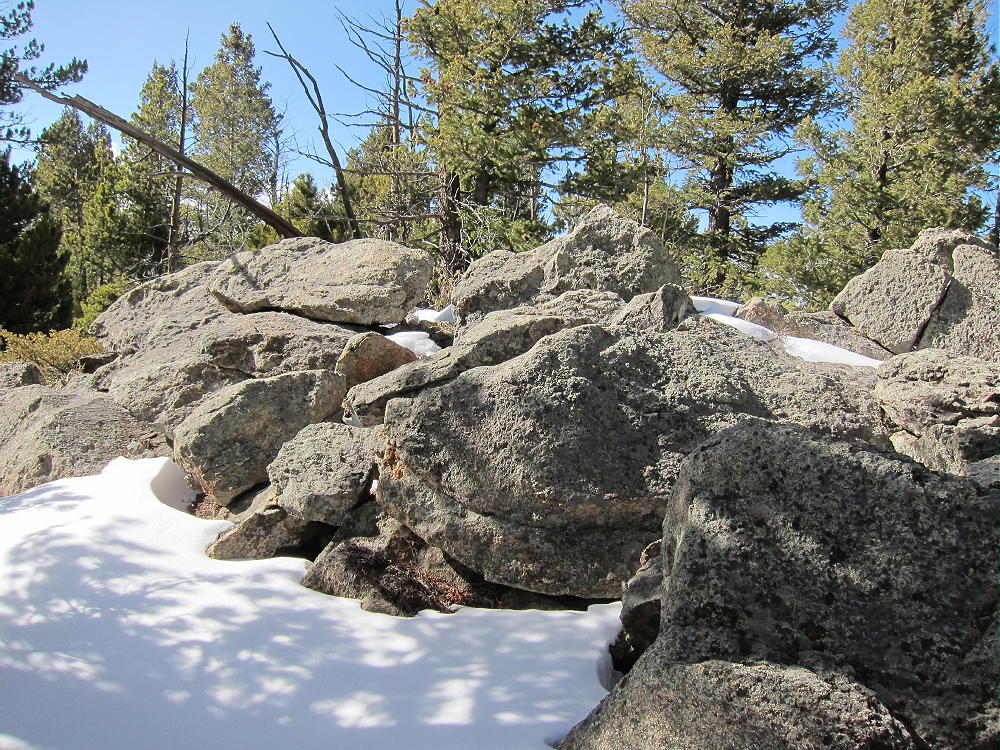
    Visitor Point’s summit is a pleasant forested ridge about a hundred yards long. The actual high point is hard to identify – but operating in the Activation Zone, within 75 vertical feet of the top, is easy. A nice open area is available near the eastern end of the summit ridge, right below some rocks that may be the actual peak.

    There are sheltered, sunny spots among the rocks, with plenty of space to run a wire along the ridge, and some good trees are conveniently located.

    This mountain is an excellent HF radio site, open in all directions; for VHF/UHF it’s probably OK, but higher peaks to the east probably reduce coverage of the Denver Metro Area and nearby communities.

    The mountain falls away in most directions, and there’s a nice view south from the east end of the ridge. Centralia Mountain and Mount Tom stand higher to the east.

    Very few people climb this obscure summit – I saw no register, no jar, no fire ring, and no summit cairn. Visitor Point offers a special, private SOTA experience – the off-trail access is a small price to pay for an easy activation on such a pleasant summit!

    73

    George Carey Fuller
    KX0R


    ATTENTION !! WARNING !! There are old mountaineers, and bold mountaineers… there are no old-bold mountaineers. Hiking and mountain climbing are potentially hazardous activities particularly in Colorado with its extreme elevations. I am not accepting responsibility for any death or injury resulting from activations based on my trip reports. Proper training, experience, and personal capability assessment is required – enjoy!
  • WØC/FR-Ø49 (Centralia Mountain) – 2986 m / 9795 ft

    W0C/FR-049
    Centralia Mountain
    2986 M / 9795 FT
    Sep 26, 2013 First Activation
    May 26, 2014 Second Activation

    by KX0R

    Centralia Mountain is a prominent peak located just south of Golden Gate Canyon State Park west of Denver.

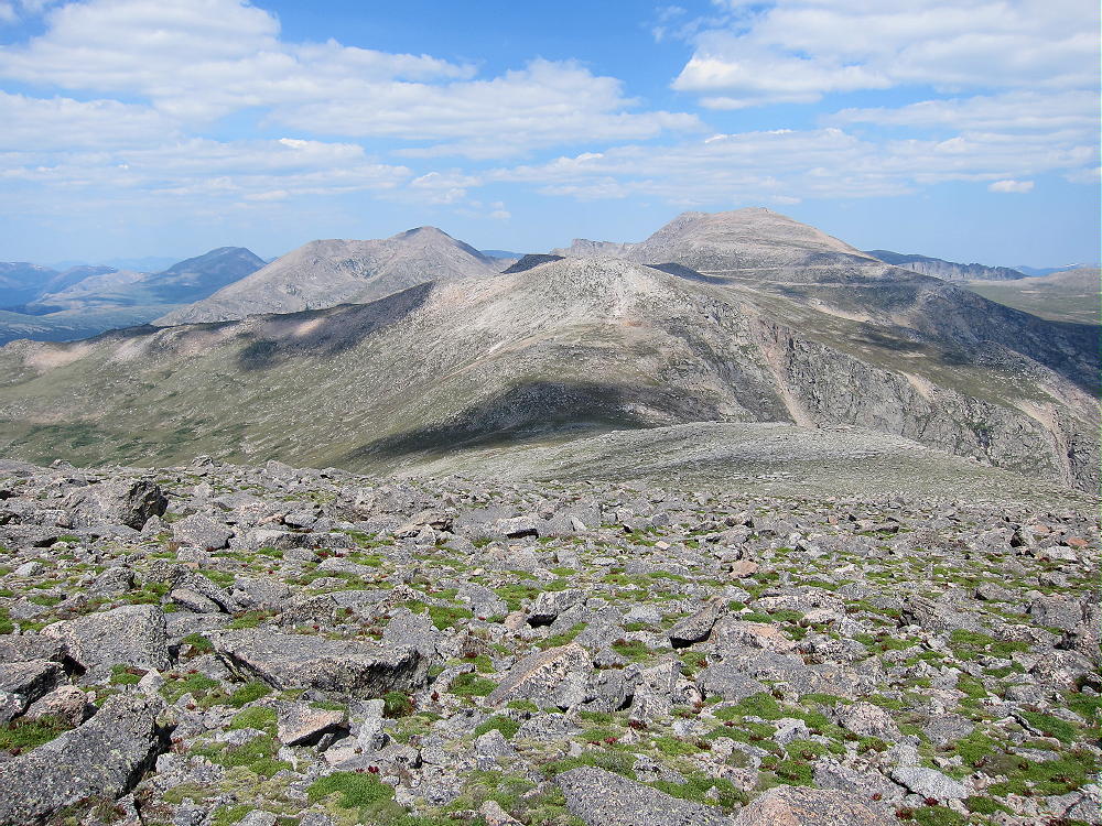
    Centralia from Visitor Point
    Centralia Mountain from Visitor Point

    There are several roads to the Park – start by driving to Golden. Follow Highway 93 to the north side of Golden, and turn west onto Road 70, Golden Gate Canyon. Follow this winding paved highway up into the mountains until it drops down into the Ralston Creek Drainage – there is a sign for the park and the Visitors Center. Unless you have a pass, buy one at the Visitors Center, and drive east along paved Road 57, which leads down Ralston Creek. After about 3 miles there is sign for the Nott Creek parking area – turn north and park immediately in the first parking lot. Be sure that your State Parks Pass is displayed in your vehicle’s front window. This is the best place to start your climb up Centralia.

    Centralia Mountain is partly surrounded by private land, and there are no designated trails to the summit. Climbing and activating this peak requires good navigation and route-finding skills. There are probably several reasonable ways to climb Centralia, but private land and limited access reduce the good options. I found a surprisingly efficient off-trail route up from Nott Creek.

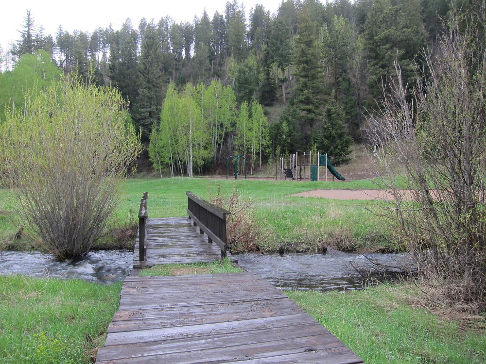
    Walk south from the parking area, cross the paved road, and then cross Ralston Creek on a foot-bridge west of the large barn.

    Bridge over Ralston Creek
    Bridge over Ralston Creek

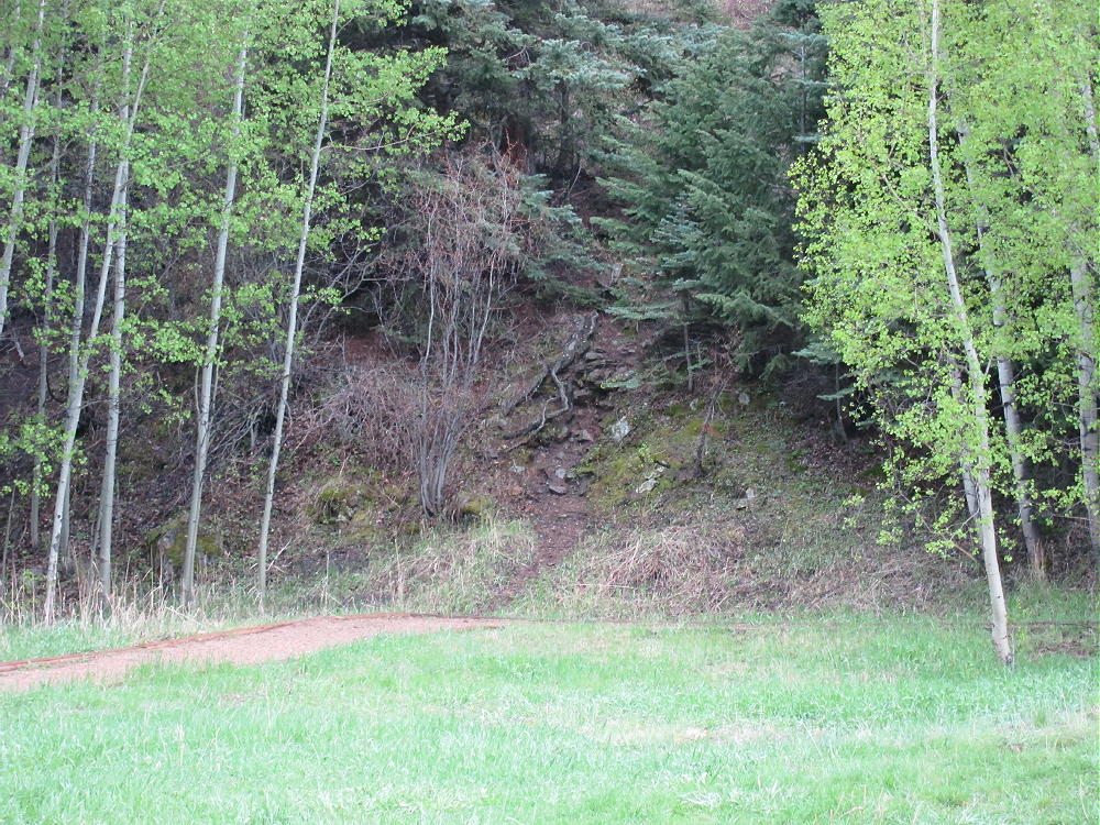
    Look carefully and find an informal path that leads up the steep ridge south of the children’s play area.

    Start of Trail at Playground
    Start of Trail at Playground

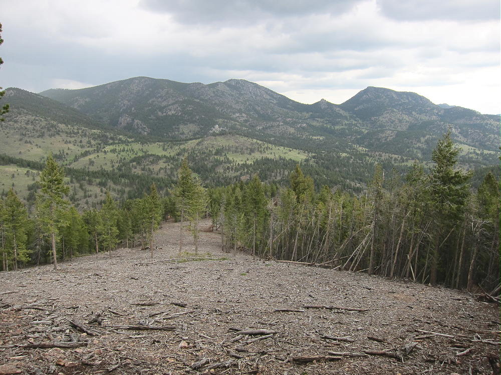
    Climb about 100 vertical feet up to the ridge top, head uphill and west, and ascend near the top of the ridge. Continue climbing for several hundred vertical feet, and reach a large area where the forest has been cleared, probably for wildfire prevention.

    Cleared Forest on Centralia looking NE to Blue and East Blue Mountains
    Cleared Forest on Centralia looking NE to Blue and East Blue Mountains

    Stay within the cleared area, and climb south to the highest point that has been cleared. This leads to an interesting ridge that is easy to climb.

    Centralia Ridge Ascent Route
    Centralia Ridge Ascent Route

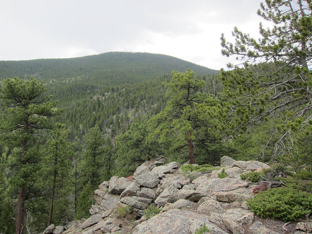
    There are several rocky points along the ridge that must be passed on one side or the other. The last of these “maxima” – near 8920 feet – has an exposed rocky knob from which you get a good view of the east side of Centralia Mountain. Take a good look, because visibility is somewhat limited in the forest. Backtrack down and pass the knob on the south side. The remaining part of the climb is forested, but the lower part is relatively open.

    Centralia NE Top Part
    Centralia NE Top Part

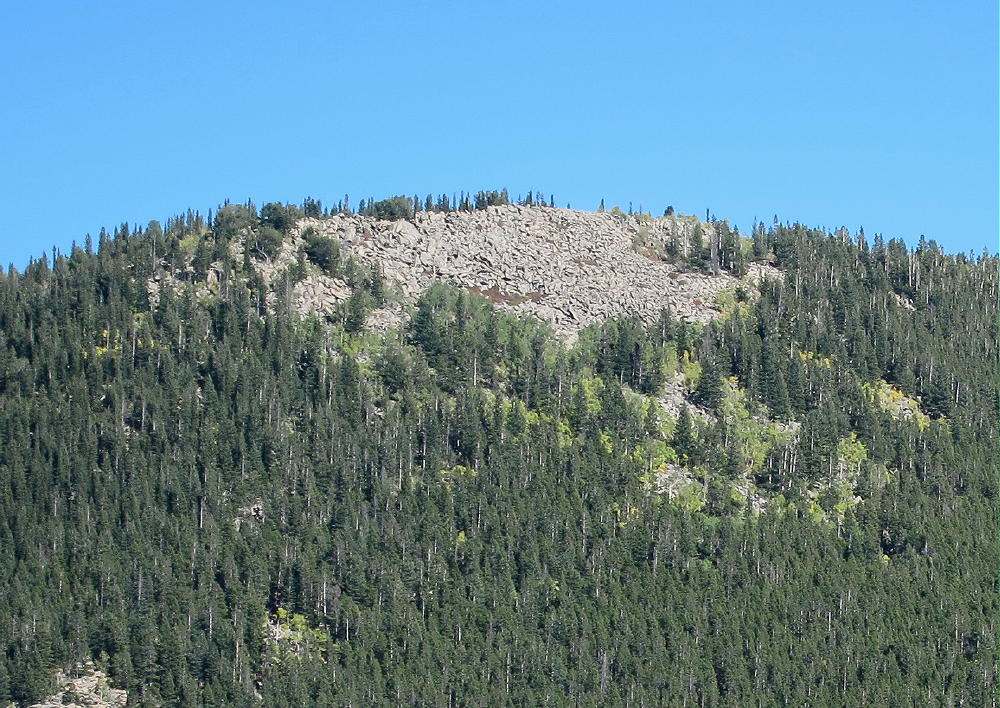
    The last thousand vertical feet up the east side of the mountain may be climbed directly. An ascending traverse heading southeast works well. Aim for a point several hundred feet southeast of the actual summit. If you aim for the summit, the slope is steep and covered with rocks that have come down from the top. The lichens on the rocks are slippery when wet. Heading southeast of the summit is more pleasant and avoids the rocky areas, and there is a natural route that goes right up toward the summit. There are useful game trails up there, and although there are some downed trees, most of them are easy to get over. This is an incredibly easy off-trail route, considering the length and the 2200 vertical feet of ascent required. A GPS is good for route-finding on the last steep section – the summit is not visible from down in the woods.

    It’s only about 2 miles and 2200 vertical feet to the summit of Centralia. I climbed it in 1-1/2 hours, when the woods were cool and damp, with hail from the previous day’s storm still on some of the slopes and near the summit. Don’t mess with this mountain, unless you’re OK with off-trail hiking and have the required level of fitness!

    The summit ridge is long and rocky, with a very steep slope on the west side.


    There is a nice flat spot southeast of the summit, within the Activation Zone, with several useful trees and a sheltered spot to operate from.

    The peak is very prominent, has low RF noise, and propagation is good in all directions. It should be a great site for VHF/UHF across most of the Denver Metro Area and beyond, as well as HF all over the world!

    Very few people visit this special summit. It’s a SOTA Classic!

    George Carey Fuller
    KX0R


    ATTENTION !! WARNING !! There are old mountaineers, and bold mountaineers… there are no old-bold mountaineers. Hiking and mountain climbing are potentially hazardous activities particularly in Colorado with its extreme elevations. I am not accepting responsibility for any death or injury resulting from activations based on my trip reports. Proper training, experience, and personal capability assessment is required – enjoy!
  • WØC/FR-Ø73 (Redskin Mountain) – 2677 m / 8783 ft

    W0C/FR-073
    Redskin Mountain
    2677 m / 8783 ft
    Nov 9, 2014

    by KX0R

    Thanks to N0BN for his first activation and for posting the location of the trailhead!

    Redskin Mountain is a pleasant, relatively easy SOTA peak located several miles south of Bailey, in the Pike National Forest. Climbing Redskin requires good navigation to the trailhead, as well as good route-finding on the mountain. Be sure you have a detailed forest road-map and a topo map of area before you start the trip. The area around the mountain is popular with mountain bikers and horse-riders, but the summit is not a popular destination. There is no marked trail to the top.

    Redskin Mountain from Mount Bailey
    Redskin Mountain from Mount Bailey

    Drive west from Denver on Highway 285, go down Crow Hill to Bailey, and at the very bottom of the big hill, turn south on road 68. Follow 68 toward Wellington Lake for several miles, and turn left on Road 70 just past the top of a big hill. Follow 70 southeast to a junction with Forest Road 553, and turn north on 553. Go about ¼ mile, turn right on road 554, drive a short distance, and turn right into a large parking area. This is the Miller Gulch Trail-head.  Road 554 is gated – it is not a through road – so this is as far as you can drive. The route to the trailhead is unpaved about 2 miles past Bailey, and it’s bumpy and wash-boarded in spots; but most cars can drive to the trailhead, unless there is snow.

    N0BN says:

    “The best access seems to be from the north from the Miller Gulch Trailhead on Forest Road 553 where there is camping and parking. The NAD83 coordinates for the parking area are latitude N39 21 53.0 and longitude W105 22 42.8, elevation approximately 8311 feet.”

    Start the hike at the southeast corner of the large parking area, and follow an old closed logging road south toward Redskin Mountain. Redskin Mountain is really one of two twin summits with a valley between them – Redskin is the eastern peak. Follow the old road north of the western sub-peak, past the rusted remains of an old truck, to the end of the road. Continue on a faint path that leads up toward Redskin. Where the path steepens, there is a split – take the right fork south, and head toward the saddle between the two mountains. Stay on the faint path and continue southeast to the saddle; soon after the apex of the saddle, head left, northeast, and up a rocky gully toward the apparent summit of Redskin. It is not necessary to do any scrambling or rock-climbing to go up the gully – there are signs of a path as you go – but there is no established trail. A good route leads up through the rocks, with only a few minor hassles. Follow the slope through open forest to the summit ridge, and continue southeast along the ridge to the obvious rocky summit with a large cairn on top.

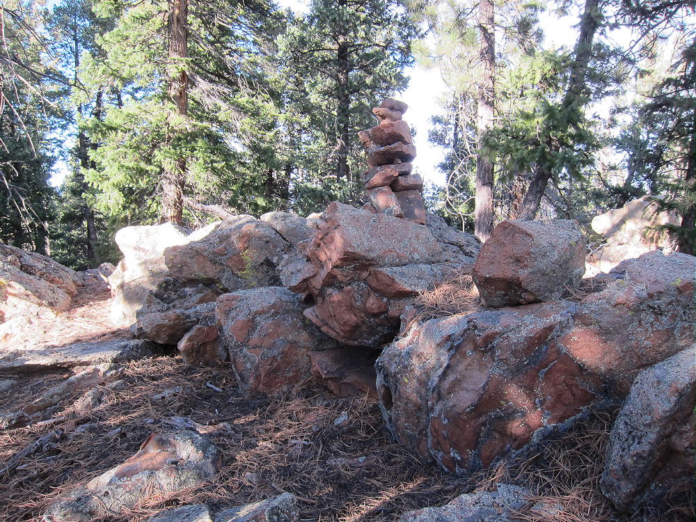
    Redskin Summit Cairn
    Redskin Summit Cairn

    Redskin has nice trees for shelter and antennas, as well as convenient open space for setting up and operating. There is a fine view into the South Platte Valley to the south. This is a good HF site; other mountains may reduce VHF/UHF coverage in some directions.

    Few people visit this pleasant peak. This is a pleasant hike in the fall, and there are deer and elk in this area – so beware of hunters. Avoid the steep slopes on the south side of the summit ridge. It helps to use GPS and a map to make sure that you’re heading where you intend to go, and to return to the trailhead correctly. This hike is just over a mile each way, and it’s only about 600 vertical feet up from the trailhead. Nevertheless, it’s not a good place to try to learn basic navigation. Visibility through the forest is very limited, and there are several places to go wrong.  Conversely, with a little preparation, this is a nice SOTA peak!

    73

    George Carey Fuller
    KX0R


    ATTENTION !! WARNING !! There are old mountaineers, and bold mountaineers… there are no old-bold mountaineers. Hiking and mountain climbing are potentially hazardous activities particularly in Colorado with its extreme elevations. I am not accepting responsibility for any death or injury resulting from activations based on my trip reports. Proper training, experience, and personal capability assessment is required – enjoy!
  • WØC/PR-144 (Green Ridge) – 2747 m / 9012 ft

    W0C/PR-144
    Green Ridge
    2747 m / 9012 ft
    First Activation
    Sep 13, 2014

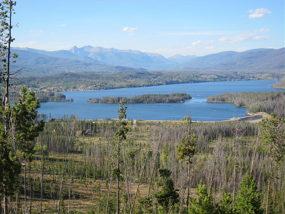
    Green Ridge is a broad, gentle mountain located south of Shadow Mountain Reservoir, west and above the Colorado River. There is no marked route to the summit, but there is a trail part of the way. Here’s how to access this peak:

    1) Drive to Shadow Mountain Reservoir, which is just south of Grand Lake, via US 34.

    Shadow Mountain Reservoir from Green Ridge Approach
    Shadow Mountain Reservoir from Green Ridge Approach

    2) Follow road 66 to the Green Ridge Campground. This is part of the Arapaho National Recreation Area, and a fee may be charged to park.
    3) There is a small dirt road south of the Campground which leads to an osprey viewing area – limited parking is available along this road.
    4) Hike south and avoid private land located on the west side of the approach to the Ridge. It is possible to stay far enough east to stay in the National Forest, but this requires some bushwhacking and hiking through areas with fallen trees for perhaps 1/2 mile. Google Maps clearly shows the public land in green. In particular, a tempting access road that goes to some houses leads into the private land. Just head south up toward the Ridge, and once the route steepens, stay on the ridge.

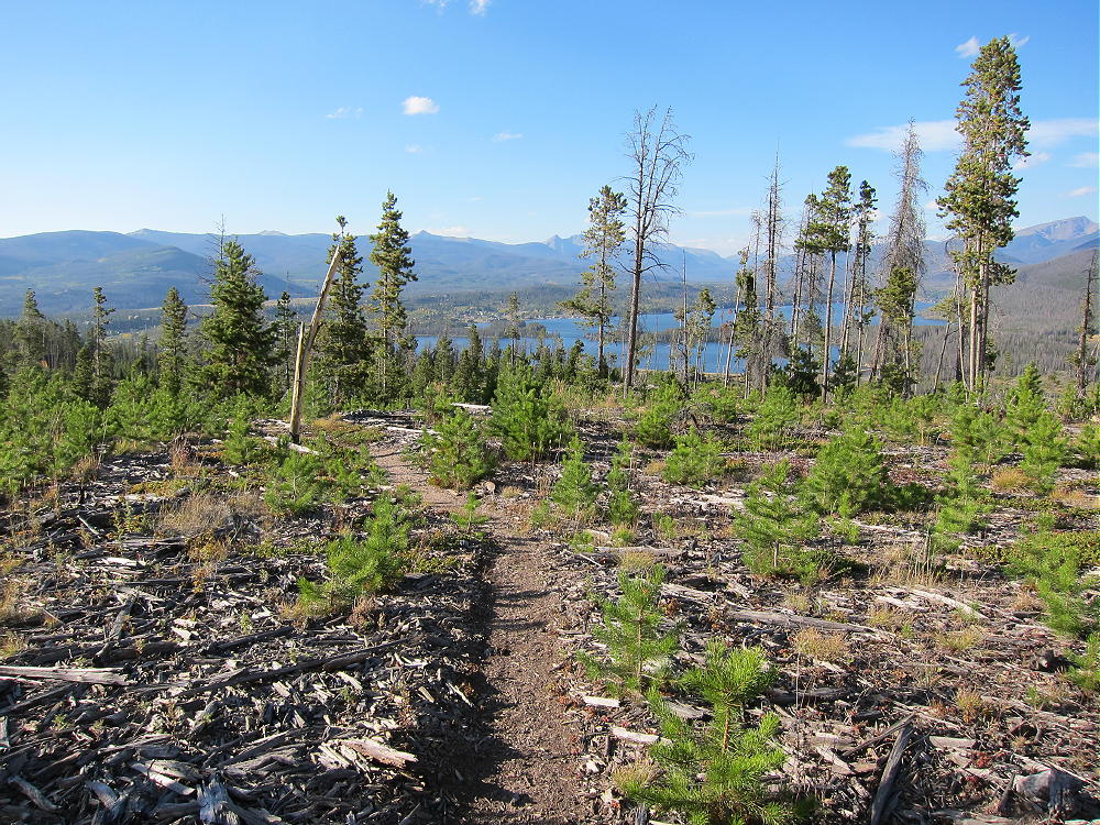
    5) There is a good path along the NW ridge above about 8800 feet. This path comes from the private development on the west side; it’s the best route up the mountain; and it’s in the National Forest all the way up from where you’ll run into it after you hike up through the fields and woods below.

    Green Ridge Trail Looking North
    Green Ridge Trail Looking North

    6) The path goes SE all the way to the summit, but the mountain top is so broad that the real summit is not obvious. There are two possible summit areas, about 2000 feet apart, and both may be within the Activation Zone. The NW summit is shown as 8970 feet on the USGS map. There is a little saddle or dip in the path between the two summits. This dip may lie within the activation zone. Keep following the path SE, go through the dip, and then ascend slightly until the path crosses over the southeastern true summit, at 9012 feet. There the route heads down gently, with no close summits visible.

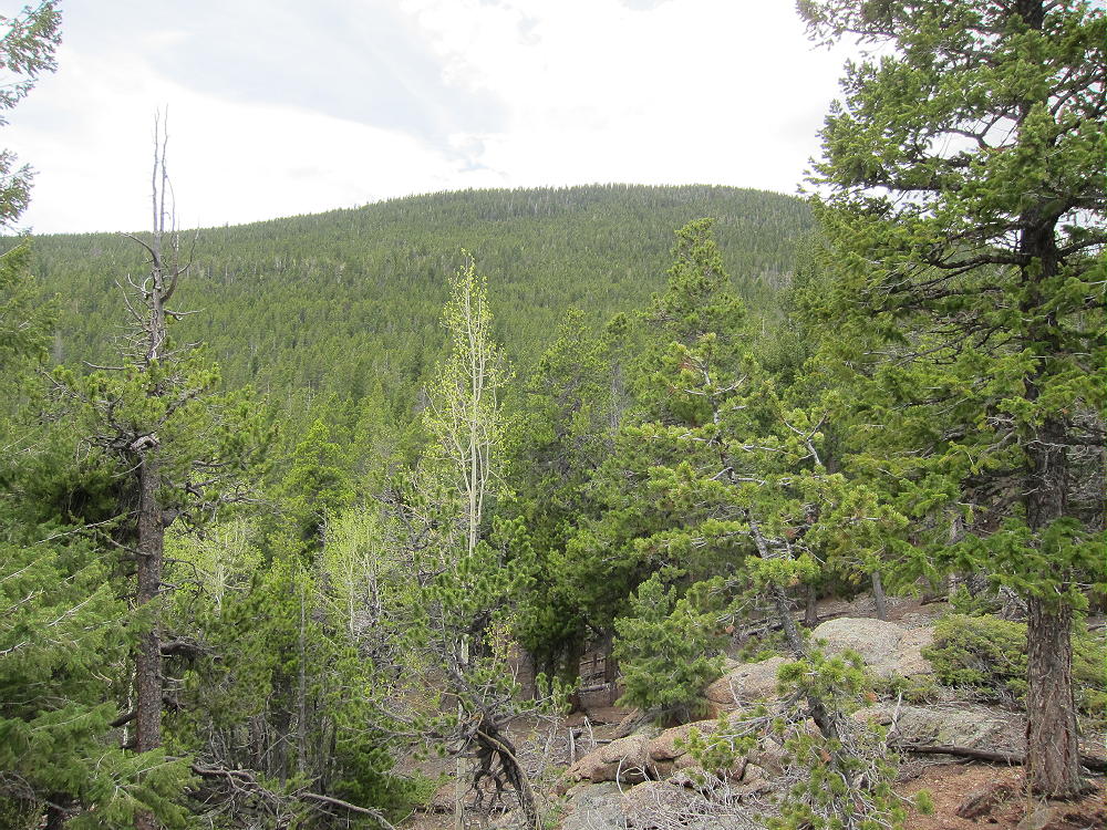
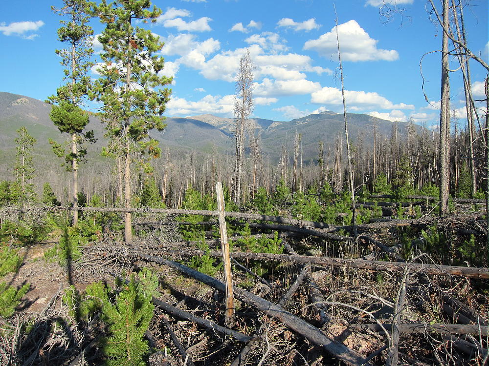
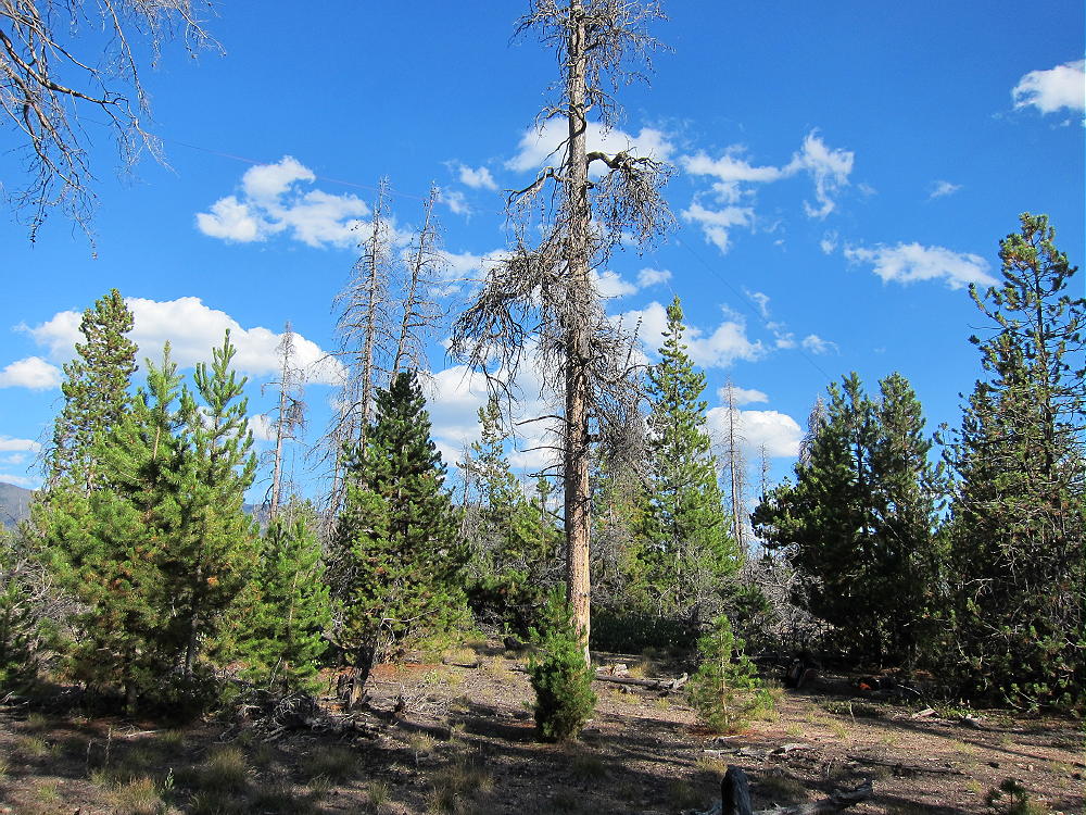
    The pine forest on Green Ridge has seen extensive beetle kill. Dead trees are everywhere – standing and on the ground. Some areas have been cleared of beetle kill.

    Typical Beetle Kill Terrain - Green Ridge
    Typical Beetle Kill Terrain – Green Ridge

    The forest is very open, and the summit is easy to activate, with or without a pole. The noise level is low, and few people visit this mountain – it is an excellent HF site. VHF-UHF coverage may be limited to local stations; this is a low summit surrounded by much higher peaks.

    The round-trip distance for this expedition is about 3.6 miles, with about 600 vertical feet to the summit. Overall, this is an easy 4-point SOTA peak, but the off-trail hike up the lower part of the peak is a challenge that may not be fun for everyone. I saw hunters the day I climbed the peak – and they saw me – be sure to wear bright colors and be careful in the fall.

    Green Ridge can be combined with other local SOTA Peaks, such as Green Mountain W0C/PR-110 in Rocky Mountain National Park, for a double activation.  This worked well for me, because I had a nice dry day in September.

    73

    George Carey Fuller
    KX0R


    ATTENTION !! WARNING !! There are old mountaineers, and bold mountaineers… there are no old-bold mountaineers. Hiking and mountain climbing are potentially hazardous activities particularly in Colorado with its extreme elevations. I am not accepting responsibility for any death or injury resulting from activations based on my trip reports. Proper training, experience, and personal capability assessment is required – enjoy!
  • WØC/PR-11Ø (Green Mountain) – 3143 m / 10313 ft

    W0C/PR-110
    Green Mountain
    3143 m / 10313 ft
    First Activation
    Sep 13, 2014

    By KX0R

    There are many summits named “Green Mountain” in Colorado. Green Mountain W0C/PR-110 is a wild, rarely-climbed mountain on the west side of Rocky Mountain National Park. The ascent is not difficult, but good planning and route-finding are necessary. Although there is no marked route to the summit, a major trail leads more than half way, followed by a good game trail up the northeast ridge.

    Green Mountain Route
    Green Mountain Route

    Here’s how to access this peak:

    1) Drive to the west side of the National Park via US 34.
    2) Find the Green Mountain Trailhead, located about 2 miles north of the Grand Lake Entrance Station, and park there. The elevation at the trail-head is about 8800 feet.
    3) Hike up the easy Green Mountain Trail about 1.7 miles to a small saddle at 9480 feet, just before the trail descends a short distance into Big Meadows, the huge valley of Tonahutu Creek. From this saddle you can look south and see the NE ridge of Green Mountain.
    4) Head off the trail for the NE ridge of Green Mountain. First go over or around a small bump, east of a marshy pond. Stay east and out of the swamp. Start up the NE ridge of Green Mountain and continue up the obvious ridge.
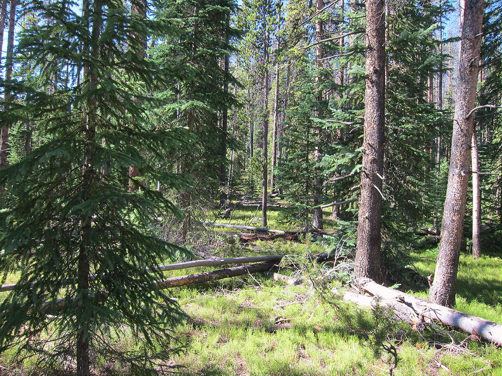
    5) There is a good game trail most of the way up. The grade is moderate, and the forest is relatively open, with few fallen trees. It’s about a mile and about 900 vertical feet up the ridge. This is as nice an off-trail hike as you will find on a forested ridge in this part of the Park!
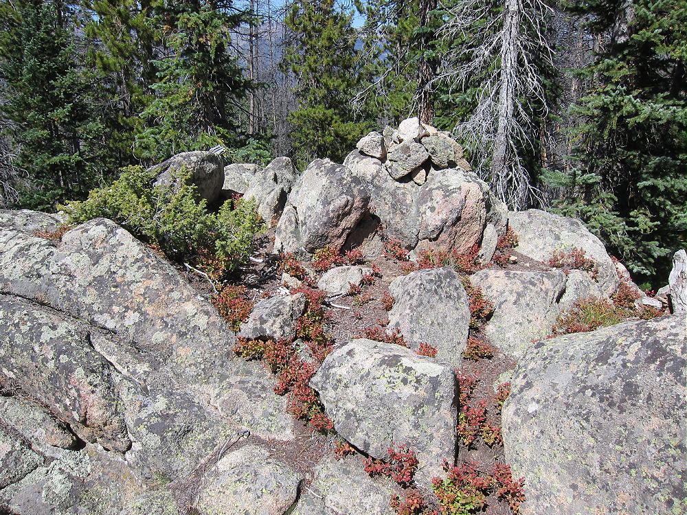
    6) There is a false summit at about 10,120 feet – continue past it to the WSW, climb over another false summit at about 10,280 feet, and continue south along the ridge about 0.2 miles to the actual summit at 10,313 feet. A pile of rocks marks the spot.

    Green Mountain Summit
    Green Mountain Summit

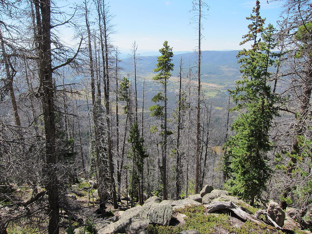
    The peak is forested with large live and dead trees. There are limited views in several directions from this very prominent peak.

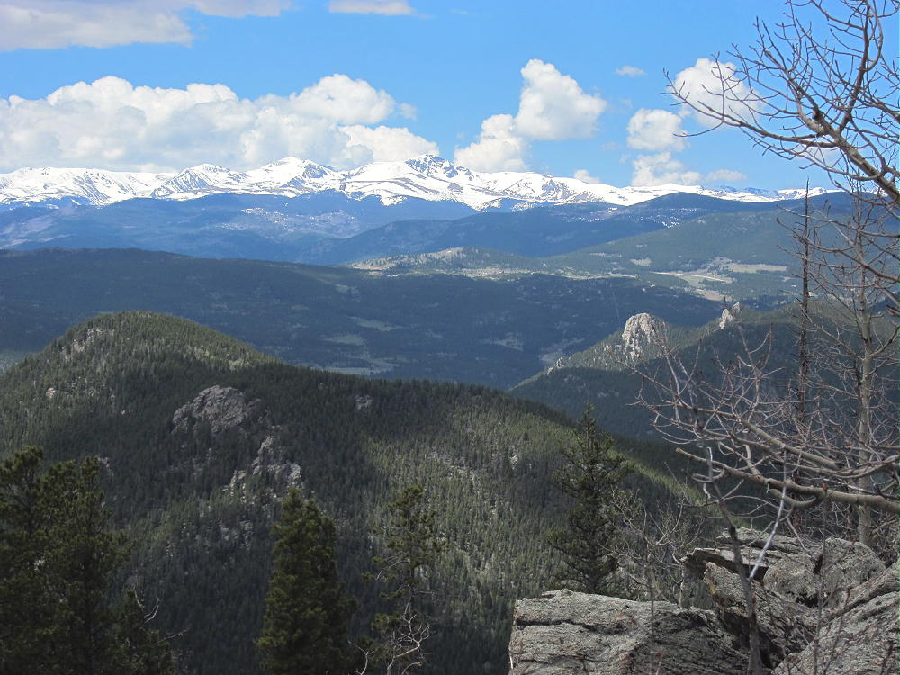
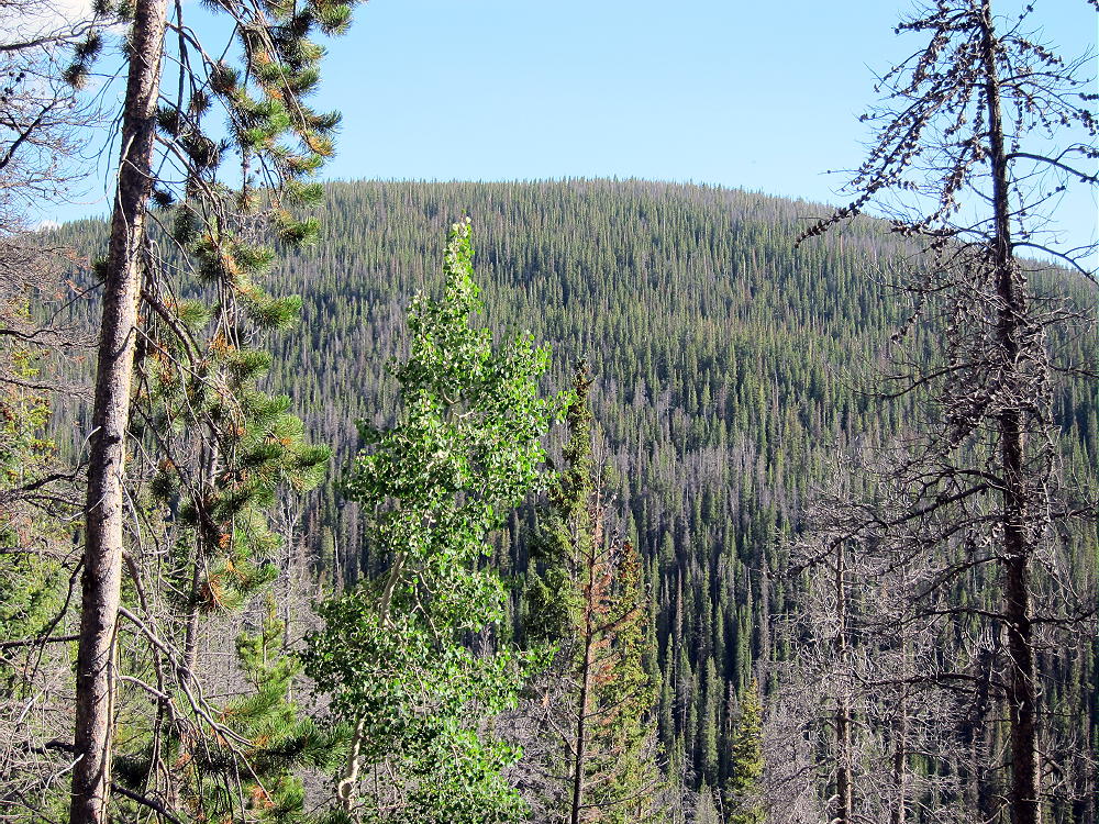
    Green Mountain View Southwest
    Green Mountain View Southwest

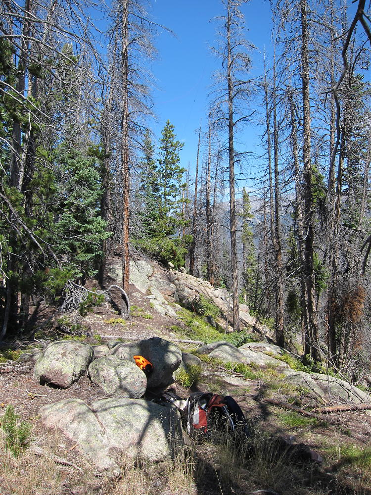
    The summit area is craggy, but several good spots are available for a nice SOTA activation. The summit falls away steeply on the east and west, and it’s an excellent HF radio site. VHF/UHF coverage is probably limited by higher mountains nearby. No pole is needed, if you can get a line over a tree branch with a small fishing pole or other tool.

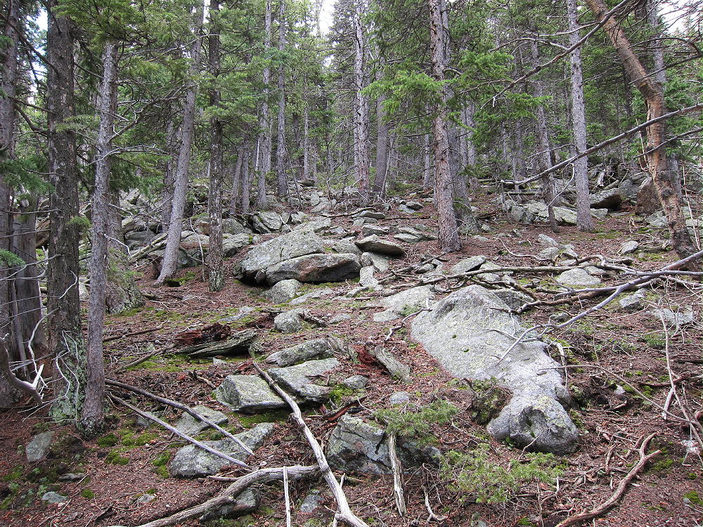
    Be sure to descend via the same route up the NE ridge that you came up. Descending via the shorter route down the north or NW slope of the mountain may lead into a lot of fallen trees and rough country below – perhaps an unpleasant ordeal. The NE ridge route is a proven no-hassle way in and out.

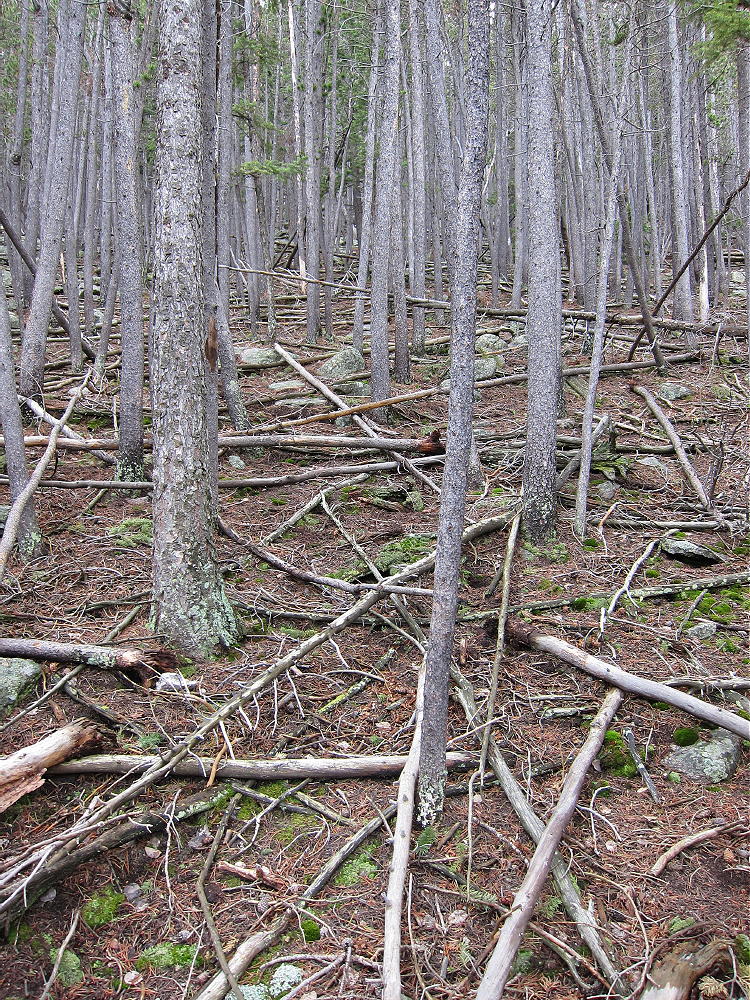
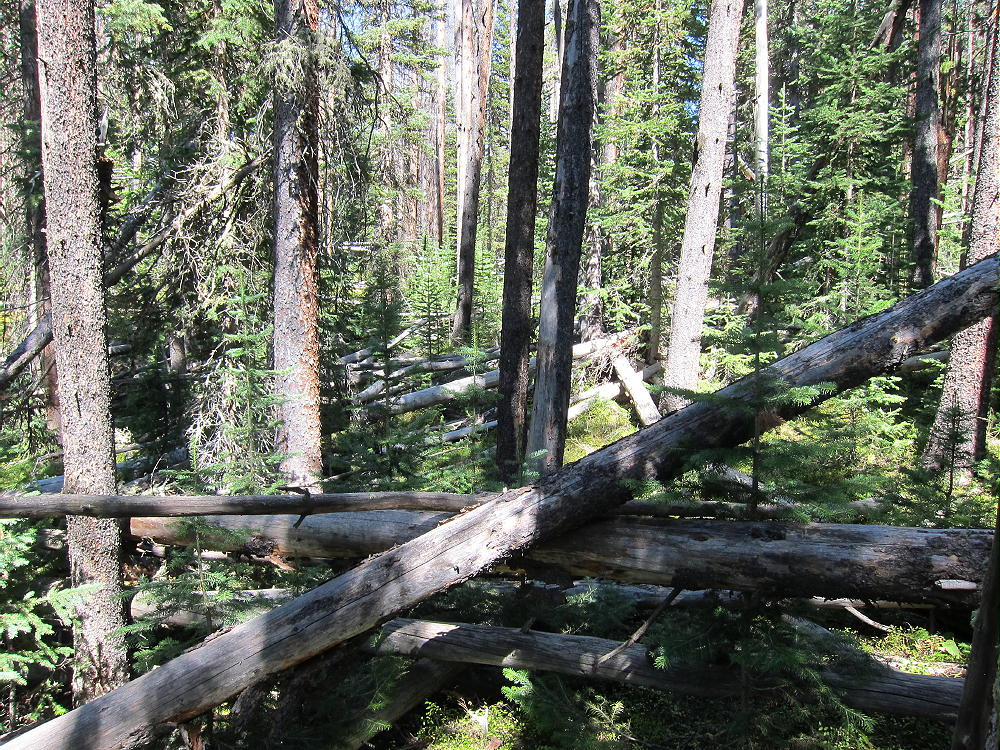
    Green Mountain Forest
    Stay on the Ridge or Pick Your Way Through This – or WORSE!

    The round-trip distance for this expedition is about 5.8 miles, with a vertical gain of about 1600 feet.

    Be aware that the entire area has a healthy population of elk, moose, and other wild animals. This is definitely a wilderness SOTA trip.

    73

    George Carey Fuller
    KX0R


    ATTENTION !! WARNING !! There are old mountaineers, and bold mountaineers… there are no old-bold mountaineers. Hiking and mountain climbing are potentially hazardous activities particularly in Colorado with its extreme elevations. I am not accepting responsibility for any death or injury resulting from activations based on my trip reports. Proper training, experience, and personal capability assessment is required – enjoy!
  • WØC/PR-Ø92 (Gray Jay Mountain) – 3342 m / 10965 ft

    W0C/PR-092
    Gray Jay Mountain
    3342 m / 10965 ft
    August 24, 2014
    First Activation

    By KX0R

    Gray Jay Mountain is a minor summit near Mount Ida and the Continental Divide in Rocky Mountain National Park. Because the peak is in the wilderness, far from roads, it takes a significant effort to activate it – but it’s fun! I combined this summit with an activation of nearby Jackstraw Mountain, and it was a long day. Most of the report for Jackstraw applies to Gray Jay as well.

    Gray Jay Mountain from Timber Lake Trail
    Gray Jay Mountain from Timber Lake Trail

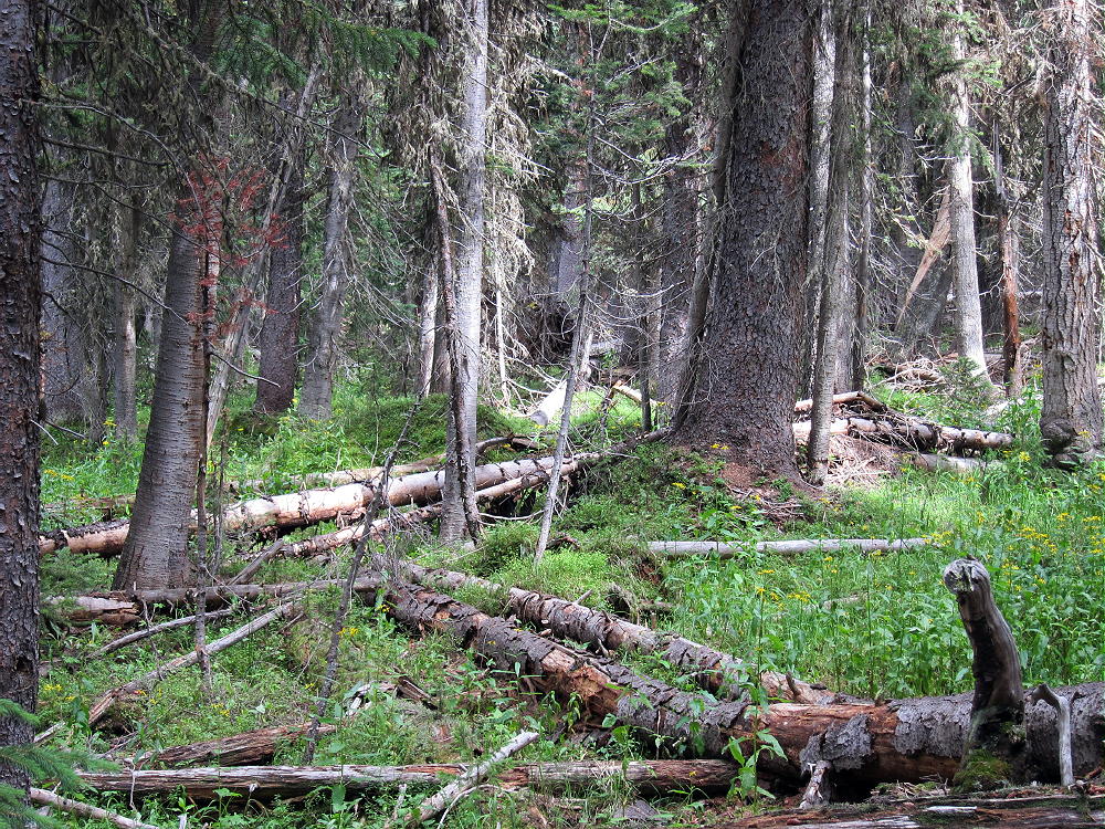
    There is no trail to the top of Gray Jay, but a little-used, un-maintained trail runs to Long Meadows, about 1/2 mile east of the summit. The off-trail hike to the summit is a classic bushwhack trip through a swampy sub-alpine forest full of downed trees and slippery logs. Please do not attempt this trip, unless you actually enjoy this kind of travel, and only if you have enough navigation experience to do this right. The area around Gray Jay is wilderness, and the penalty for error might be extreme.

    Gray Jay Route 1
    Gray Jay Route 1

    To reach the trail-head, drive to Estes Park, continue into the Park, drive over Trail Ridge Road, and descend into the Colorado River drainage on the west side of the Park. Continue south for about 1.5 miles from the last switchback, and park at the marked Timber Creek trail-head.

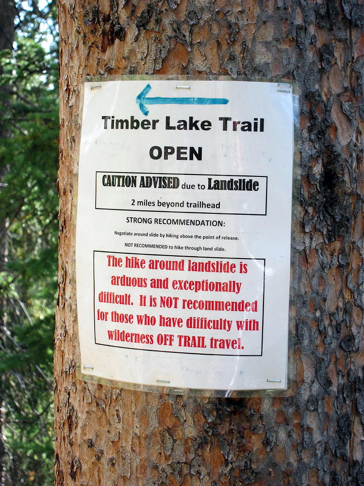
    The trail starts at 9050 feet and leads south, gradually ascending the west side of Jackstraw Mountain. The route is steep from 9200 to 10,000 feet, and then it moderates. Unfortunately there is a huge mudslide at about 9900 feet, and a tricky detour is required to climb above the head of the slide and back down to the trail. There are strict warning signs; crossing the slide is virtually impossible, because it is a dense 3-D matrix of interlocked trees and branches. Getting around the slide is the hardest part of the hike – hopefully the trail will be restored in 2015.

    Landslide Warning on Timber Lake Trail
    Landslide Warning on Timber Lake Trail

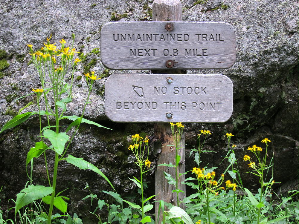
    To climb Gray Jay, follow the Timber Creek Trail west past the mudslide, continue up to about 10,200 feet. Keep an eye out for a sign and a trail heading right (south). Other than the main trail up to Timber Lake, there is only one trail that splits off and crosses Timber Creek. You must find and follow the trail that goes to Long Meadows and eventually leads into the Onahu Creek area. Note that the Long Meadows trail is incorrectly located on the USGS maps, Google Maps, National Geographic-Trails Illustrated, and my Garmin GPS map – those maps show the trail junction and creek crossing place at about 10,600 feet, but my GPS track puts this spot near 10,200 feet. Perhaps the trail has been re-located. This junction was clearly marked in 2014.

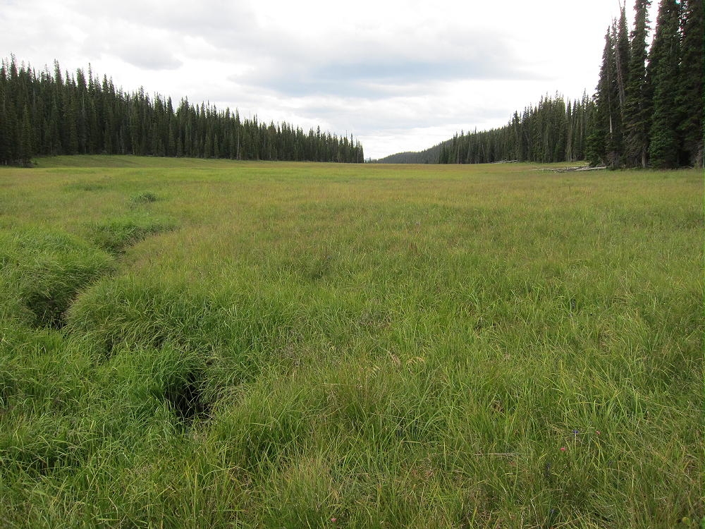
    After the creek crossing – there was a bridge in 2014 – the trail heads southwest and ascends up the slope to the broad saddle at the head of Long Meadows. In 2014 this trail was un-maintained and had several large downed trees across it. “Long Meadows” is an understatement – this incredible, lush, sub-alpine swamp is almost two miles long. Look for elk, moose, and other animals.

    Long Meadows near Gray Jay
    Long Meadows near Gray Jay

    At the saddle, the trail heads south and initially leads along the east side of Long Meadows before disappearing. Gray Jay is the broad, forested summit west of this saddle. To climb Gray Jay, do not head into Long Meadows, but cross the north part of the saddle, head west through the boggy fallen-down forest, and aim for the northeast side of Gray Jay. Avoid the steep east side of the mountain. This is all easier said than done. You may find a game trail that leads right to the top, as I did. The elk know their territory, so use their trails, if they go in the right direction.

    Above 10,600 feet on the northeast side, the climb gets progressively easier – the forest opens up, the slope is less steep, and the route is pleasant. Kinnikinnick covers the forest floor, and you can see where you’re going. The broad summit is easy to find, and it’s bright and pleasant, unlike the route below.

    Gray Jay Mountain Summit Area
    Gray Jay Mountain Summit Area

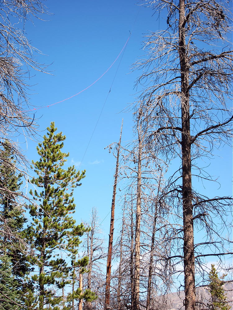
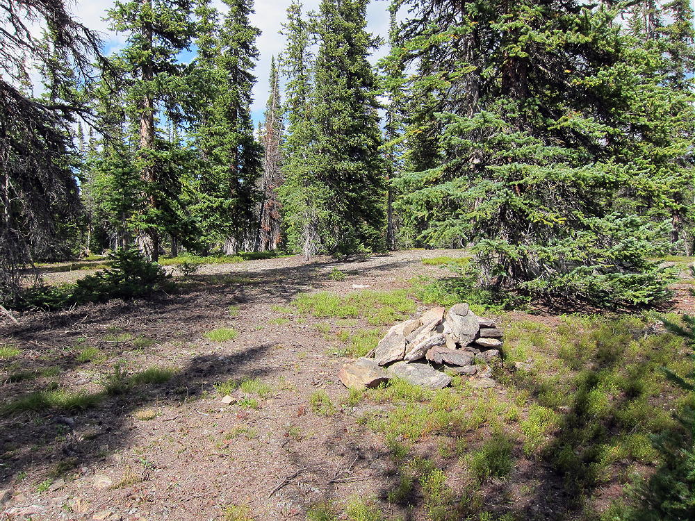
    The top of Gray Jay has a large activation zone, with tall trees and plenty of open space for an antenna. There is a pile of rocks near the top, but there are few outcrops and no cliffs. Either take an antenna pole, or bring what you need to hang a wire in a tree. This is an excellent wilderness RF site, quiet and fine for HF, but probably not so good for VHF/UHF, due to the surrounding mountains blocking signals from many directions.

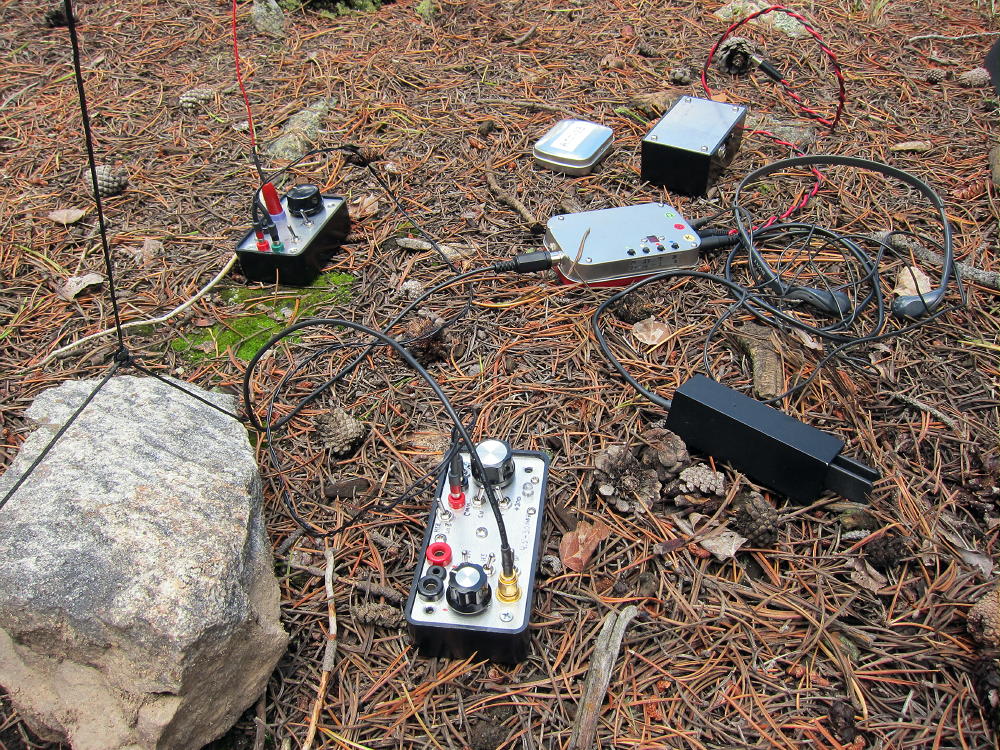
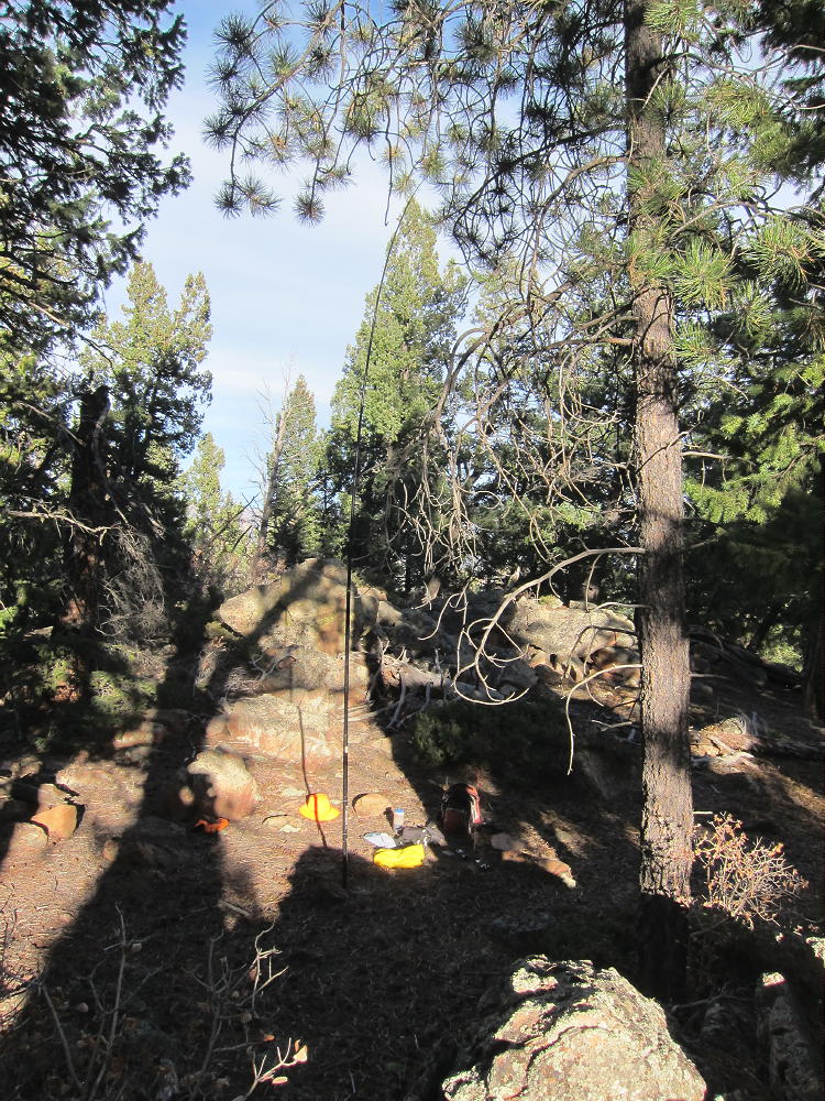
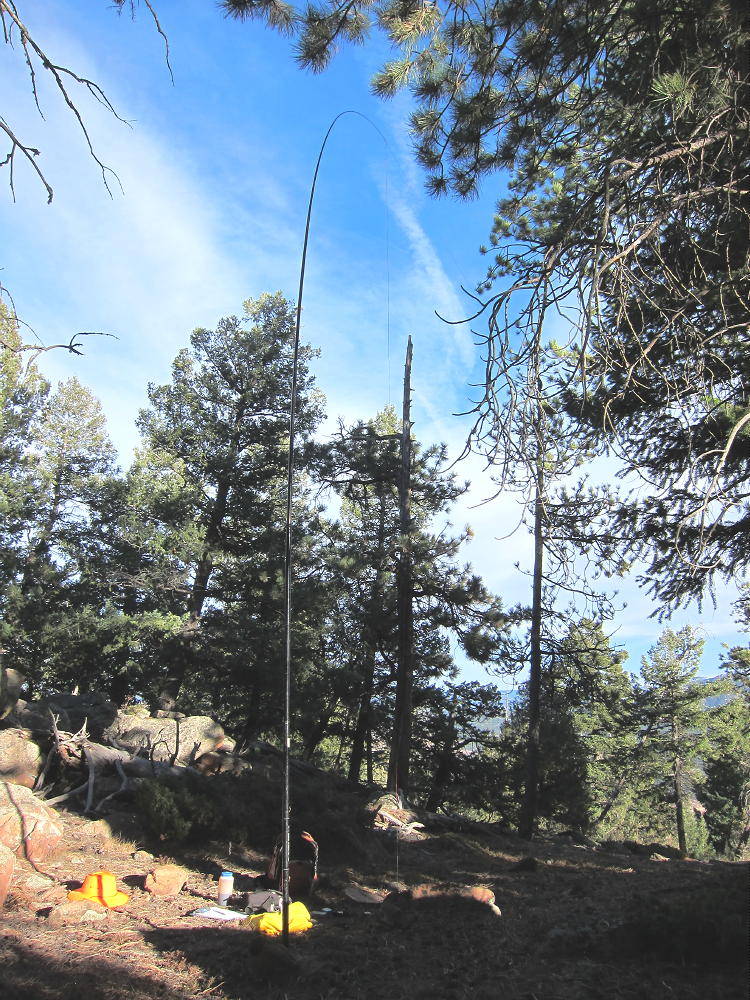
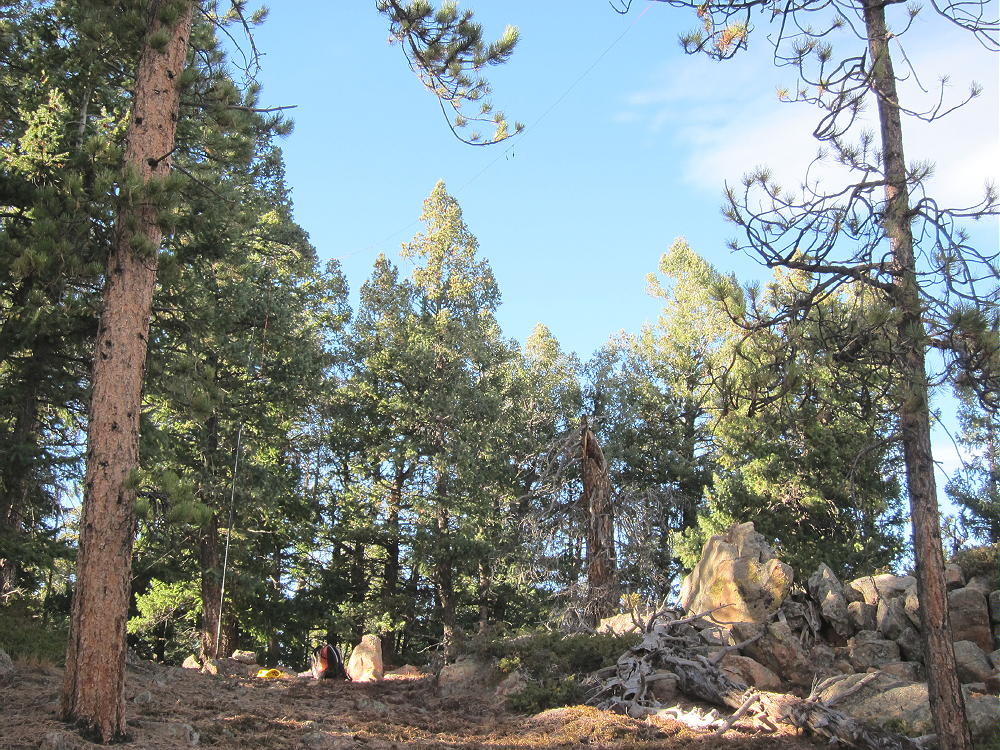
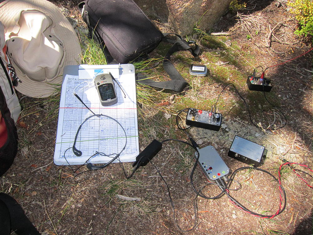
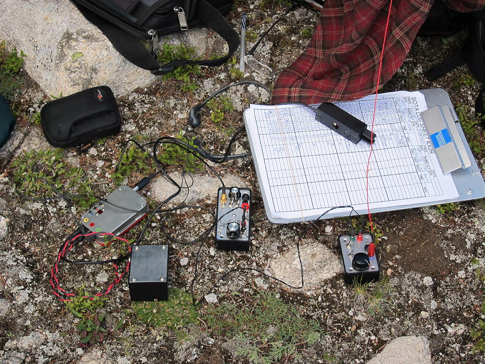
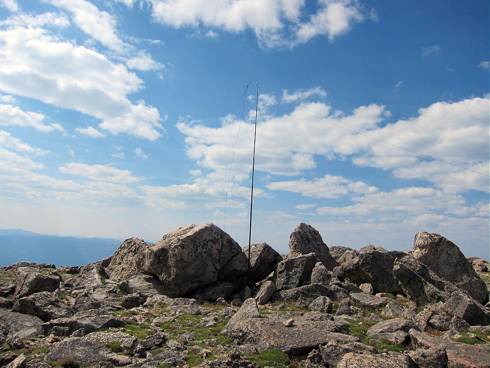
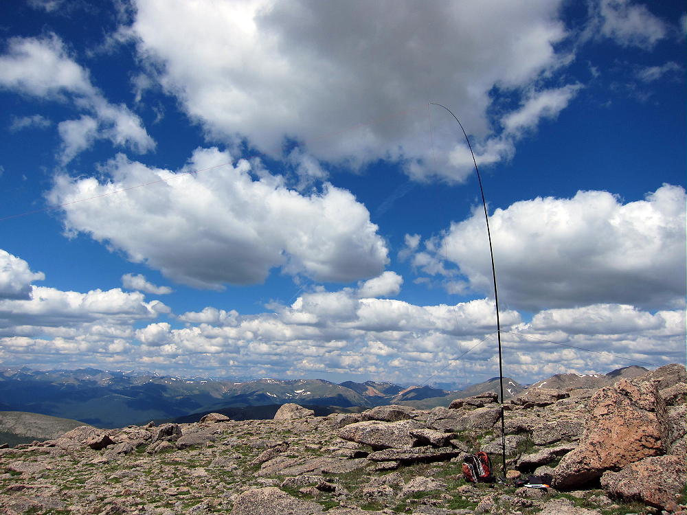
    Gray Jay Activation Rig
    Gray Jay Activation Rig

    Be sure to return back to the Long Meadows saddle and the trail that descends to Timber Creek. Don’t even think of shortcuts or alternate routes! Some of the slopes below are very steep, covered in heavy timber, with numerous fallen trees and other problems.

    The round-trip from Timber Lake Trailhead to Gray Jay is about 10 miles, with about 1900 vertical feet of gain – perhaps 2100 vertical feet with the detour around the mudslide.

    Weather and time permitting, Gray Jay can be combined with nearby Jackstraw Mountain, for a challenging dual activation. I did this when I was there, and it worked out OK. See the report on Jackstraw for the rest of the story.

    73

    George Carey Fuller
    KX0R


    ATTENTION !! WARNING !! There are old mountaineers, and bold mountaineers… there are no old-bold mountaineers. Hiking and mountain climbing are potentially hazardous activities particularly in Colorado with its extreme elevations. I am not accepting responsibility for any death or injury resulting from activations based on my trip reports. Proper training, experience, and personal capability assessment is required – enjoy!
  • WØC/PR-Ø76 (Jackstraw Mountain) – 3567 m / 11704 ft

    W0C/PR-076
    Jackstraw Mountain
    3567 m / 11704 ft
    August 24, 2014
    First Activation

    By KX0R

    Jackstraw Mountain is a minor summit adjacent to Mount Ida and the Continental Divide in Rocky Mountain National Park. Because the peak is in wilderness far from roads, it takes a significant effort to activate it – but it’s fun!

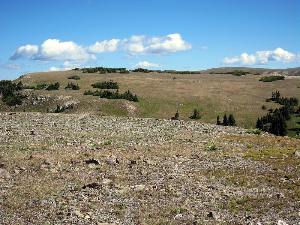
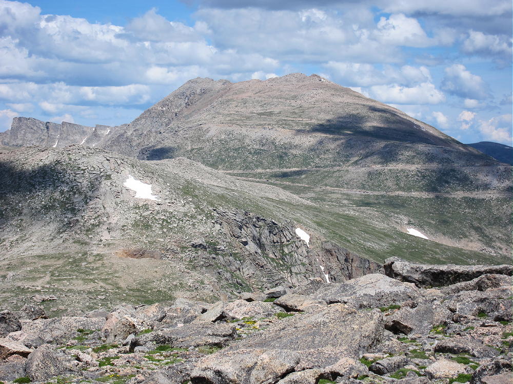
    View North across Plateau toward Jackstraw Summit
    View North across Plateau toward Jackstraw Summit

    There is no trail to the top of Jackstraw, but the popular Timber Lake Trail runs within 0.6 miles of the summit. The remaining 1-plus-mile off-trail hike is a nice introduction to the sub-alpine zone of the National Park.

    To reach the trail-head, drive to Estes Park, continue into the Park, drive over Trail Ridge Road, and descend into the Colorado River drainage on the west side of the Park. Head south for about 1.5 miles from the last switchback, and park at the marked Timber Creek trail-head.

    The trail starts at 9050 feet and leads south, gradually ascending the west side of Jackstraw. The route is steep from 9200 to 10,000 feet, and then it moderates. Unfortunately there is a huge mudslide at about 9900 feet, and a tricky detour is required to climb above the head of the slide and back down to the trail. There are strict warning signs; crossing the slide is virtually impossible, because it is a dense 3-D matrix of interlocked trees and branches. Getting around the slide is the hardest part of the hike up Jackstraw. Hopefully the trail will be restored in 2015.

    Landslide Warning on Timber Lake Trail
    Landslide Warning on Timber Lake Trail

    When I climbed Jackstraw, I followed the Timber Lake Trail to about 10,150 feet, and then I headed north up the slopes. After several hundred vertical feet of steep bushwhacking up through fallen trees, the mountain’s slope is more gentle, and the sub-alpine forest opens up. There are obvious game trails. The remaining 1000 vertical feet are along a pleasant ridge leading up to alpine meadows bordered by krummholz thickets. There is a false summit – Jackstraw’s peak is near the north edge of the alpine plateau.

    There is a nice alternate route up Jackstraw. Instead of heading up through the steep woods at 10,150 feet, as described above, continue climbing on the Timber Lake Trail to about 10,800 feet; near the “Rockslide” camp site, head up northwest into a deep valley leading up the south side of the summit. There are well-used game trails in the upper levels of this lush wilderness. Follow the drainage up a steep grassy slope to the saddle south of Jackstraw, between the two summits, and climb the ridge to the top. I descended this wonderful route, and I think it’s more scenic than the southwest ridge, provided most of the snow is melted out.

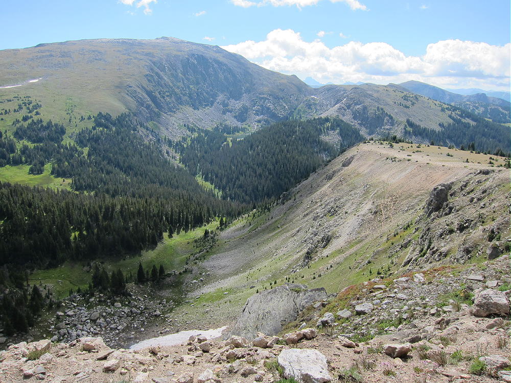
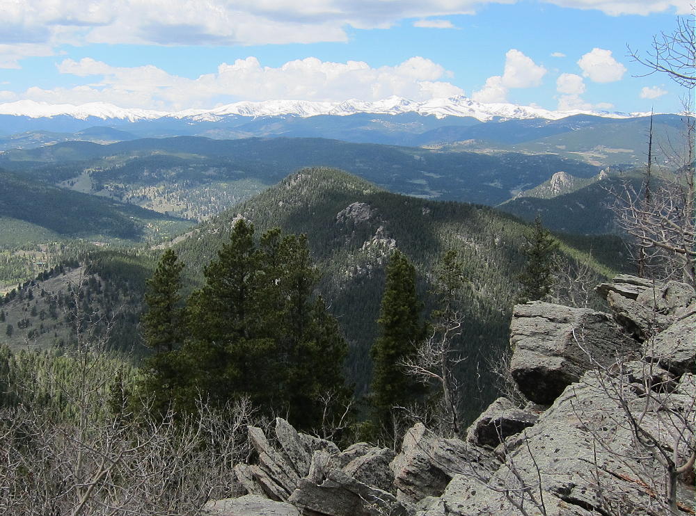
    Southeast Valley of Jackstraw and Mount Ida
    Southeast Valley of Jackstraw and Mount Ida

    The broad summit is almost flat, with convenient thickets providing protection from wind. You can set up and activate wherever you like in the large activation zone. This peak sees few human visitors, but there are signs of many animals. The views of Mount Ida high above – Specimen Mountain to the north – and Timber Lake in its cirque to the southeast – create a feeling of being deep in the wilderness.

    Because Jackstraw sits immediately below and west of the huge wall of the Continentental Divide, signal propagation to the east is surely reduced, especially at VHF and UHF. This is a wonderful HF site because it’s RF-quiet; I made 36 contacts on 20 and 15M CW, with no hint of a problem in any direction. Jackstraw might be difficult to activate at VHF-UHF, because except to the south, the summit is surrounded by higher mountains.

    It’s probably possible to climb Jackstraw from the trail leading from Milner Pass along the Divide to Mount Ida. When I activated Ida in 2013 and 2014, I had a good look at Jackstraw from above. There is a saddle at 12,000 feet on the Divide, about 1 mile north of Mount Ida. This saddle would be the best place to descend 800 vertical feet west to the Jackstraw saddle at 11,200 feet. From there a craggy ridge climbs 400 vertical feet up the southeast side of Jackstraw. Even if there are problems on this ridge, there surely is a practical route and game trail on the southeast side of the mountain. A detour southwest into the valley described above might work OK. However, the east and north sides of Jackstraw are very steep and should be avoided.

    The round-trip from Timber Lake Trailhead to Jackstraw Mountain is about 11 miles, with about 2600 vertical feet of gain – perhaps 2800 vertical feet with the detour around the mudslide.

    Weather and time permitting, Jackstraw can be combined with nearby Gray Jay Mountain for a challenging dual activation. I did this when I was there, and it worked out well.  See the report on Gray Jay for the rest of the story.

    73

    George Carey Fuller
    KX0R


    ATTENTION !! WARNING !! There are old mountaineers, and bold mountaineers… there are no old-bold mountaineers. Hiking and mountain climbing are potentially hazardous activities particularly in Colorado with its extreme elevations. I am not accepting responsibility for any death or injury resulting from activations based on my trip reports. Proper training, experience, and personal capability assessment is required – enjoy!
  • WØC/PR-Ø25 (Rogers Peak) – 4082 m / 13391 ft

    W0C/PR-025
    Rogers Peak
    4082 m / 13391 ft
    August 16, 2014

    By KX0R

    Rogers Peak is a nice SOTA peak on a convenient ridge above the Mount Evans Highway. It can be climbed quickly from the road, so it’s possible to combine this summit with another SOTA peak in the Mount Evans alpine zone – for a dual activation.

    Drive up the Mount Evans Highway to the 12,600 foot contour. This is just south of Lincoln Lake, visible far below the highway.

    Near where the road curves around a ridge that leads NW up to northeast side of Rogers, find a place to park off the pavement. Climb up the grassy slope to about 13,000 feet, and then head SW up the ridge to the Rogers Peak summit. The immediate area around the summit is almost flat and very rocky – essentially a boulder field.

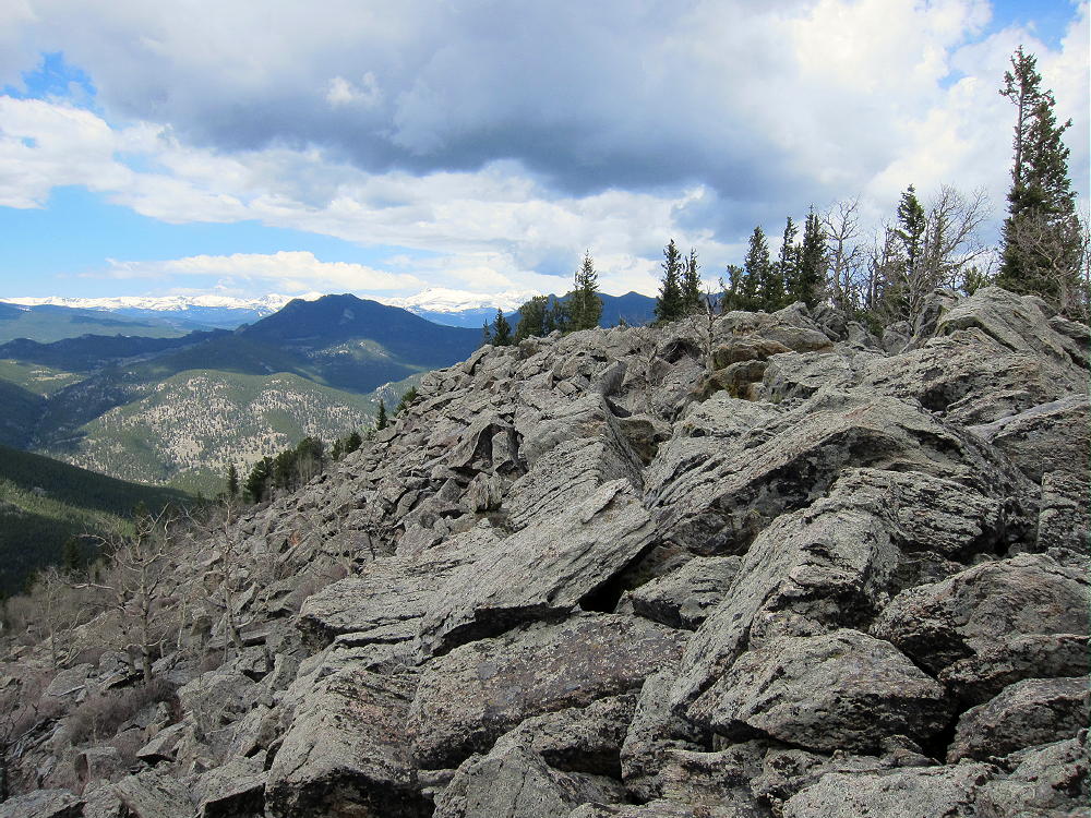
    Rogers Peak Summit
    Rogers Peak Summit

    There are good spots to set up and operate in the activation zone just below and east of the summit. The views are spectacular, and on a good day, Rogers Peak is a great place for a SOTA activation.

    The southwest ridge of Rogers is shorter to climb from the road, but parking near the obvious saddle is limited.

    Multiple activations in one day are possible in the Mount Evans area. Unless you’re somewhat acclimated to the thin air above 13,000 feet, an extended stay up there may have progressively adverse effects upon your body and brain. Don’t underestimate the effects of high altitude, and head to a lower elevation if you don’t feel well.

    George Carey Fuller

    KX0R


    ATTENTION !! WARNING !! There are old mountaineers, and bold mountaineers… there are no old-bold mountaineers. Hiking and mountain climbing are potentially hazardous activities particularly in Colorado with its extreme elevations. I am not accepting responsibility for any death or injury resulting from activations based on my trip reports. Proper training, experience, and personal capability assessment is required – enjoy!