W0C/FR-055
Kenny Mountain
2832 m / 9290 ft
Aug 30, 2014
by KX0R
Kenny Mountain is not an ordinary SOTA activation. At the time of this report, it’s difficult to access, and because it’s in the middle of a huge burned forest, it has its own challenges and rewards.
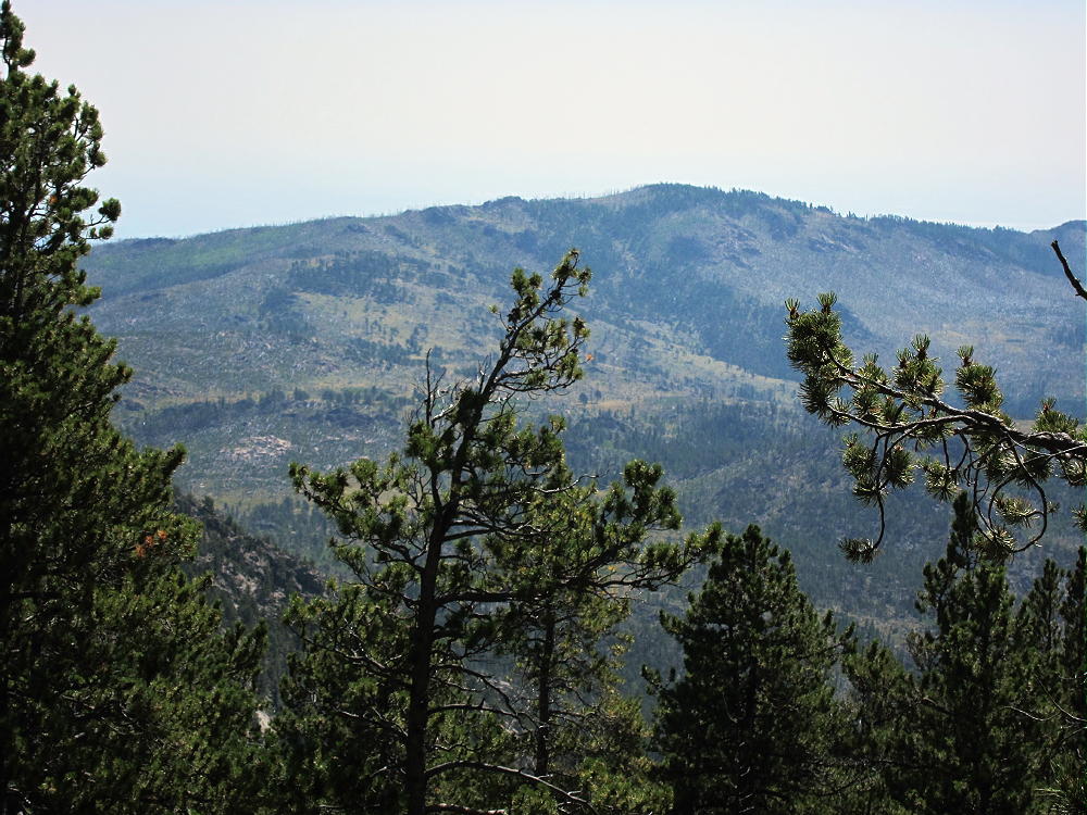
I avoided going near Kenny for a long time. When I planned my second activation of nearby Pierson Mountain W0C/FR-160, I decided to try Kenny if there was enough time. The weather was good, so climbing Kenny went well – but it was a long day by the time I returned to the trailhead in Hermit Park.
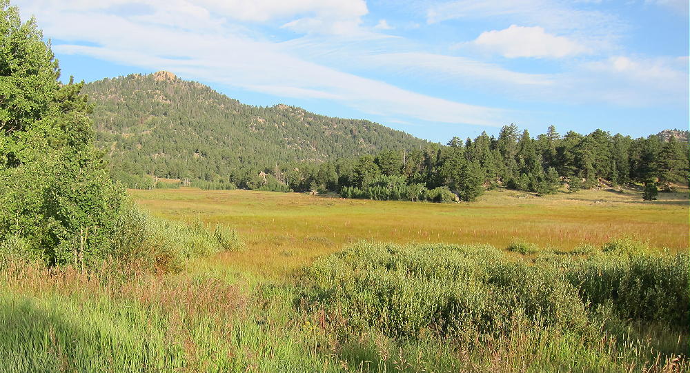
The following section is the first part of the report for Pierson – it applies to Kenny as well. Either Pierson or Kenny can be done first during an all-day dual activation starting at Hermit Park.
This report covers my hike on Aug 30, 2014. I chose a route that begins in Hermit Park, a few miles south of Estes Park. There are several other ways to approach Pierson, which stands in an isolated part of the Roosevelt National Forest. The September 2013 floods did heavy damage to the region east of Longs Peak. The area around Pierson was affected by the flooding, and many roads and trails were officially closed after the floods. Most of the closed trails have been re-opened to foot travel, including the route described here, so getting to Pierson is not difficult.
The trailhead I used is at the southern gate of the main Hermit Park access road. To reach Hermit Park, drive from Lyons northwest on Route 36. Several miles north of Pinewood Springs, travel through a long ascending meadow area; just south of the top of the big hill that descends to Estes Park, turn left at the sign to Hermit Park. This is a Larimer County Open Space Park, and a fee is required for entry. Drive into the Park and follow the unpaved main road for several pleasant miles, all the way to the gated end, with a large parking area near a huge meadow. Google maps shows this road, but those maps don’t show most of the other key roads and trails used for this hike. Be sure you have a topo map before proceeding further; a GPS with detailed maps is useful also.
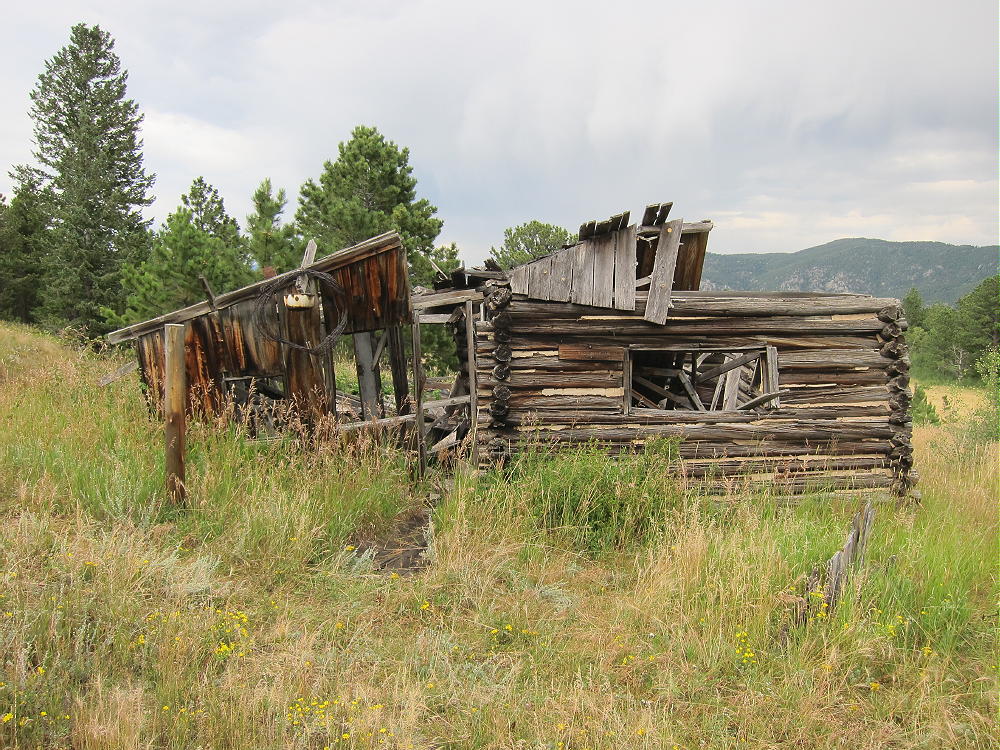
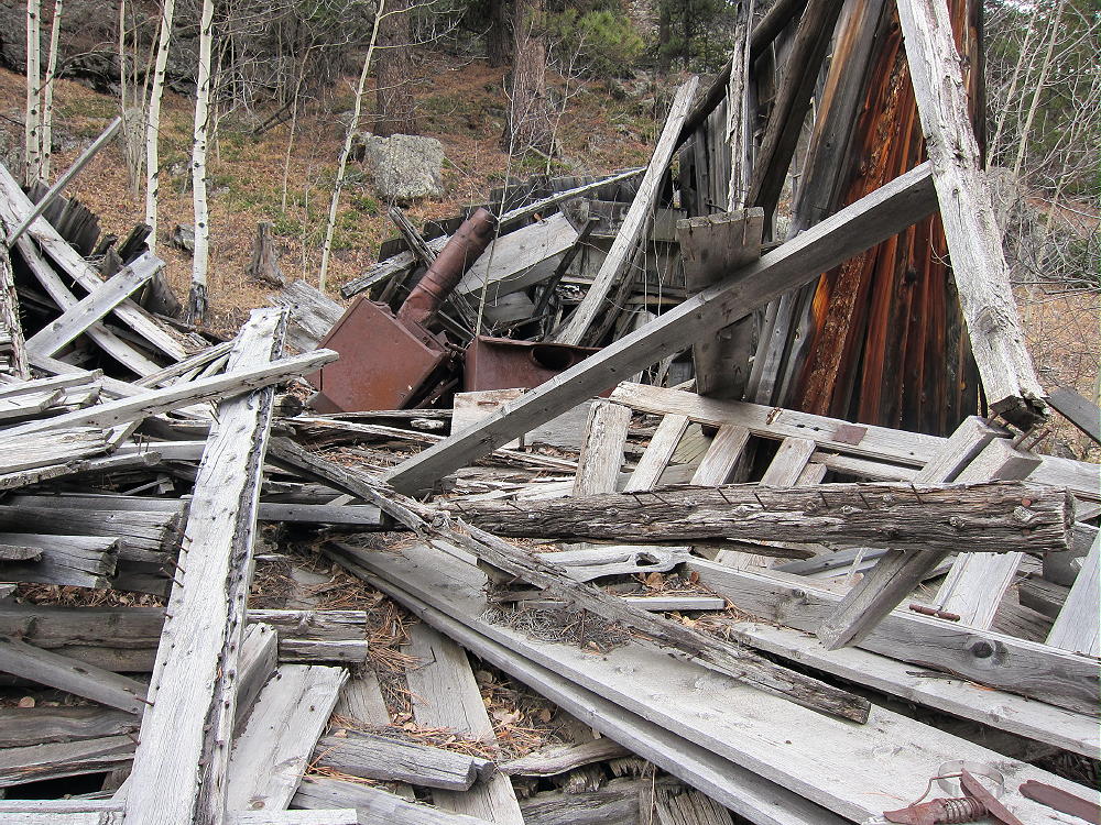
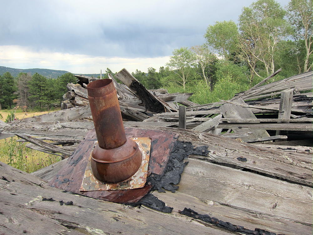
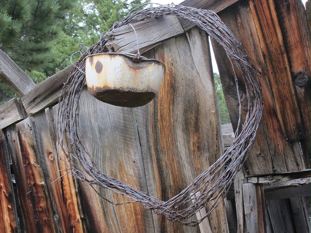
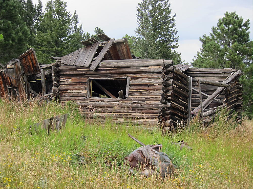
From Hermit Park follow the marked trail to Homestead Meadows. This route begins on a gated road along the meadow, and then it heads off into the woods as a trail up over a saddle. Next the trail descends to a gated jeep road that ascends again, and that leads all the way to the Homestead Meadows in the National Forest. There are several old historical buildings around the Meadows, and this area is a popular hiking destination.
Unfortunately the 2013 floods destroyed the popular trail up Lion Gulch, and that access route is currently closed. See the report on my Nov 15, 2013 activation. When the Lion Gulch Trail re-opens, it will provide a shorter access than the Hermit Park route.
The next part is specific to the hike Kenny. This is how you would hike if you’re going to activate Kenny first or by itself:
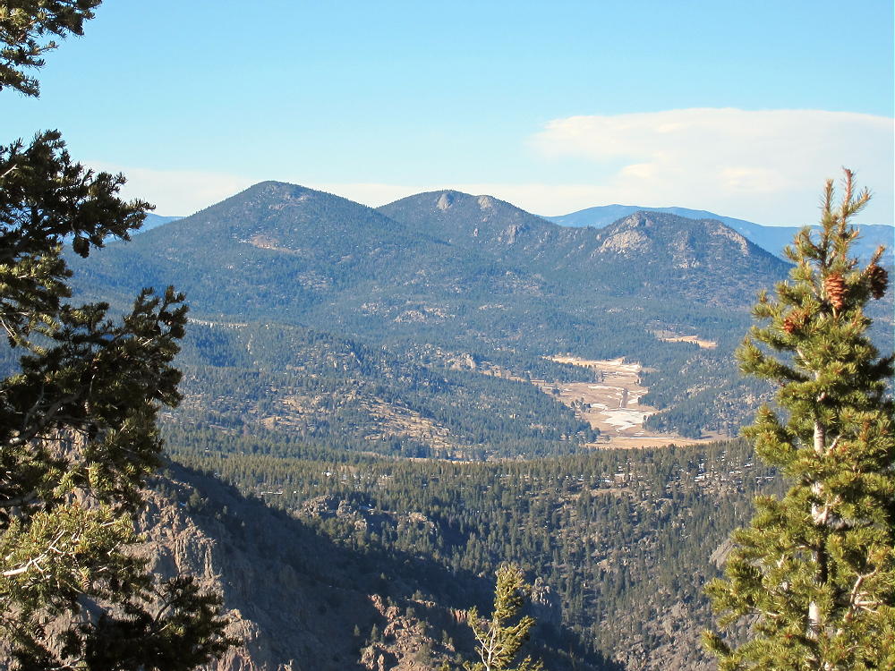
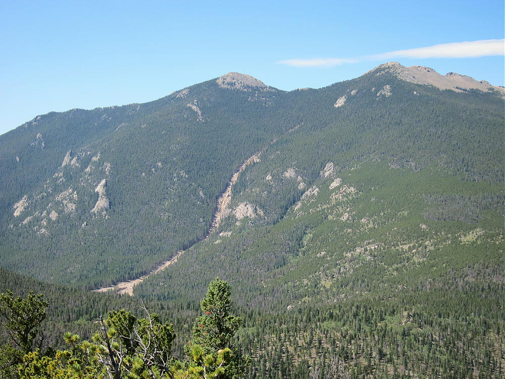
Follow the Homestead Meadow road southeast past Lion Head and Lion Gulch, and continue southeast of Lion Head ridge on the jeep road. At first follow signs to the Engert Homestead and the Hill Homestead. Before those destinations, the road climbs a low ridge up to 8600 feet. Near the ridge-top, turn left and head southeast on an old jeep road toward Kenny, which is visible more than a mile to the east. This mostly flat road will take you quickly more than half way to Kenny. Follow the road to a large meadow at about 8700 feet.

Leave the road and head east along the gentle ridge toward the north end of Kenny. The goal is to ascend via the prominent north ridge of Kenny.
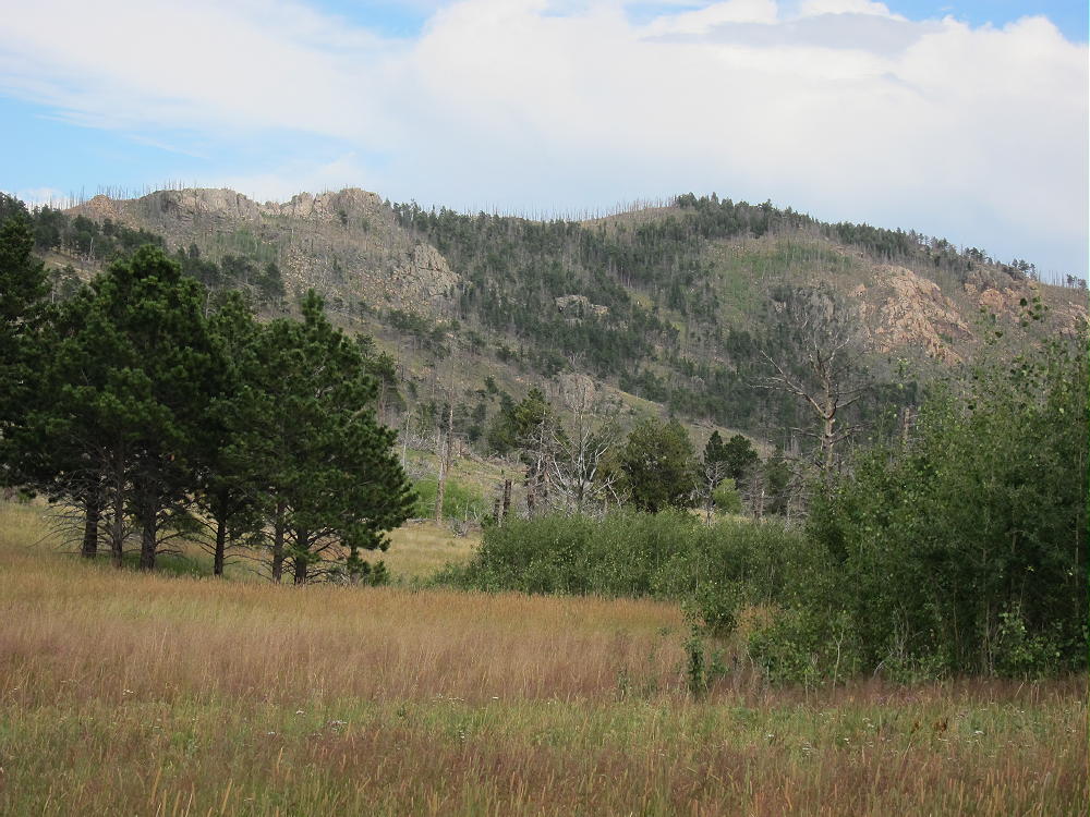
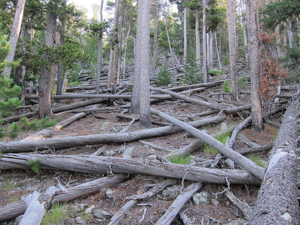
This is a classic bushwhack trip. There are some parts with useful game trails or other obvious routes, and there are other parts where you just pick the best route you can see. Some of the ridge-top is too craggy, so bypass those problems on the west side. Avoid the steep west slopes of Kenny. The best route is near the ridge-top most of the way. There are many burned, fallen trees in a few areas, so choose your line to avoid the worst of the devastated forest.
Bushwhacking through these burned areas is not as hard as it might seem. Visibility is good, so route-finding is much easier than in a thick, live forest.
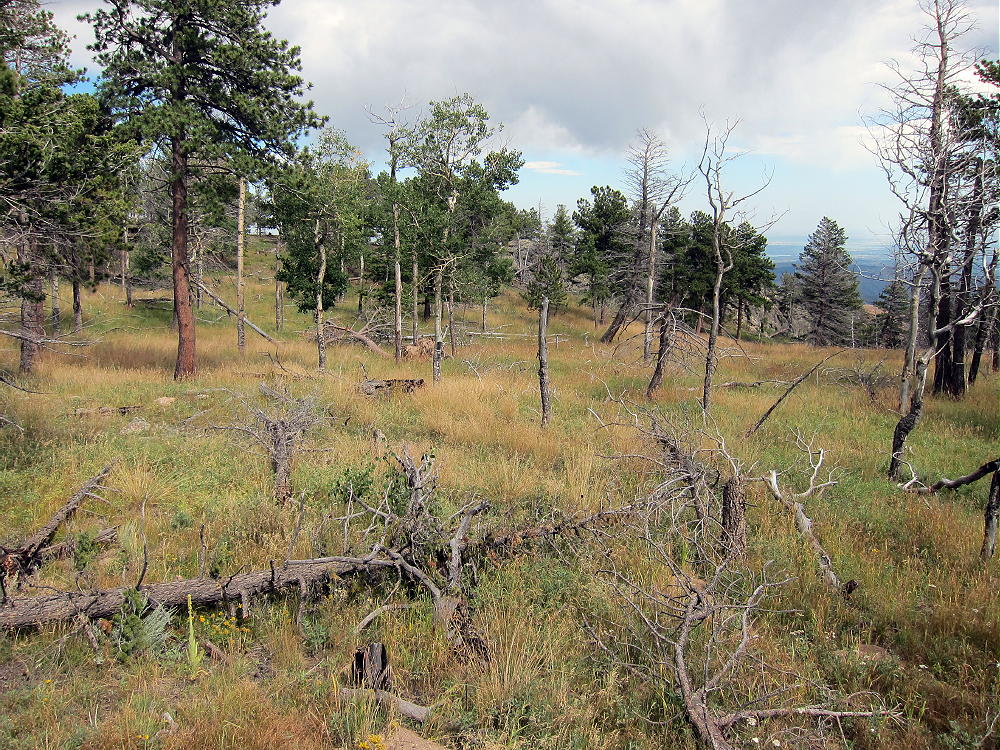
There are many fallen trees, and they slow the pace, but where there’s a will, there’s a way. Travel light and be careful. I was on top of Kenny with much less effort than I expected.
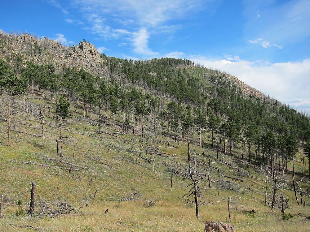
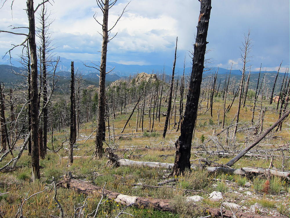
The summit is a high exposed rock, and the Activation Zone is large and open.
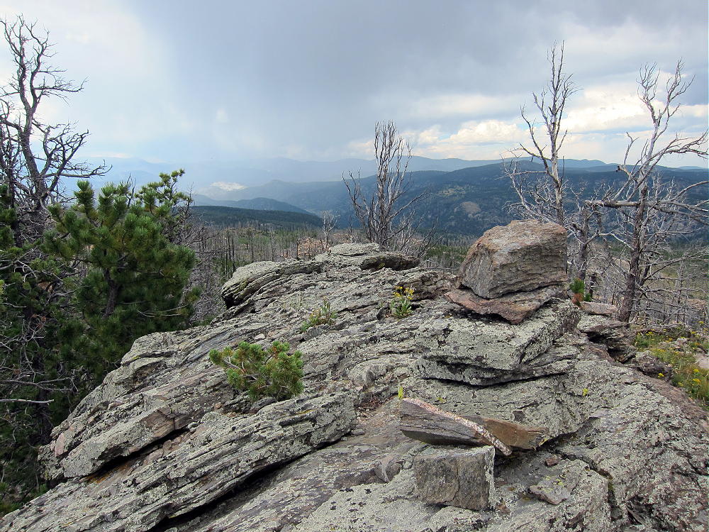
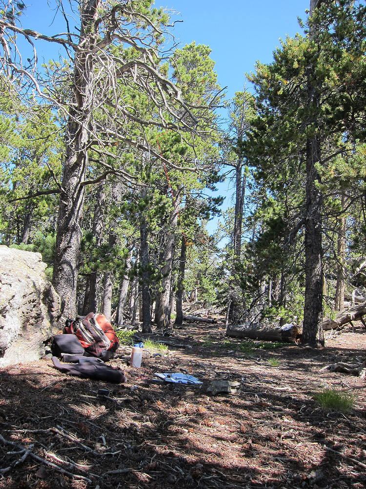
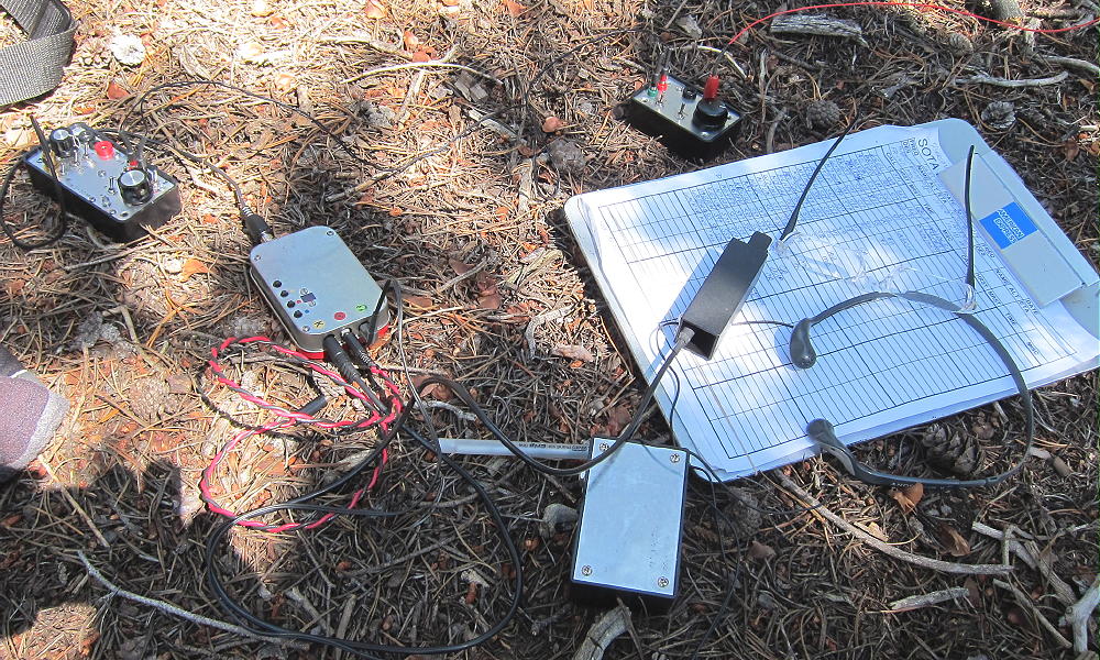
I found a pleasant grassy area south of the summit, with many live trees, and I put my wire up over a branch with a fishing pole.
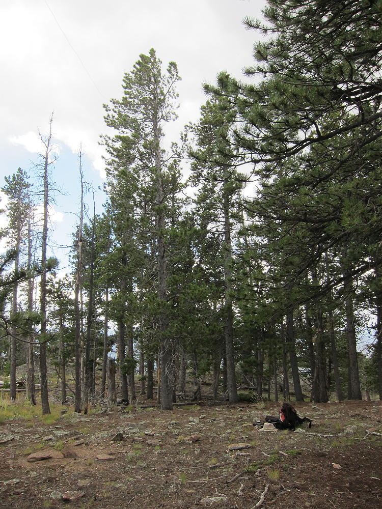
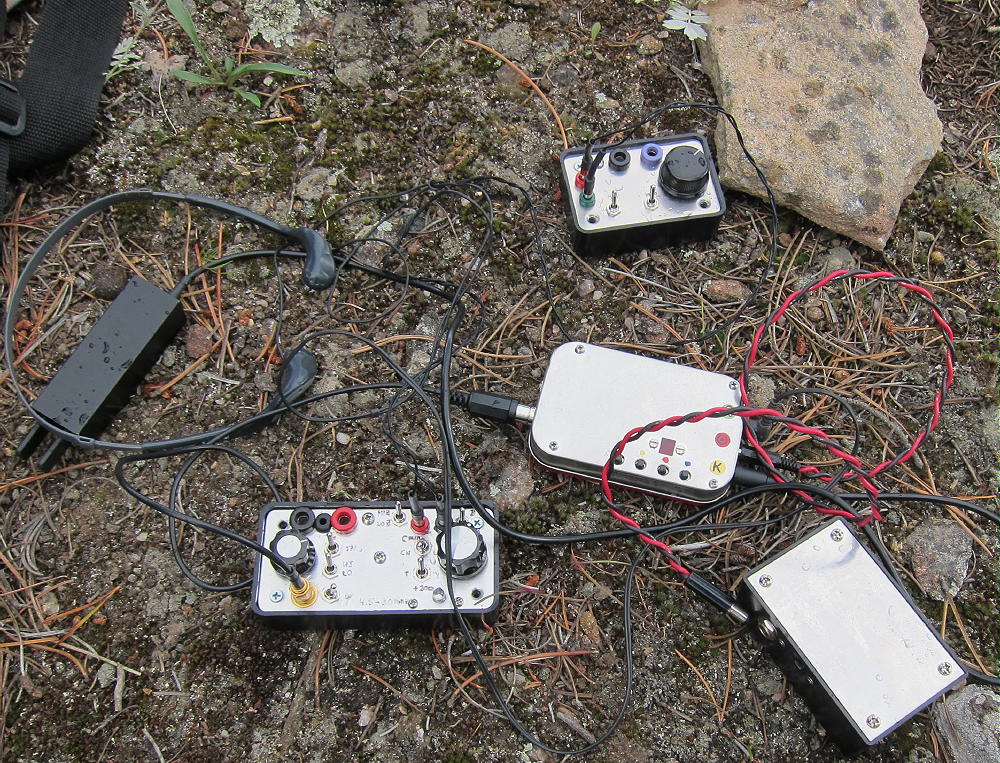
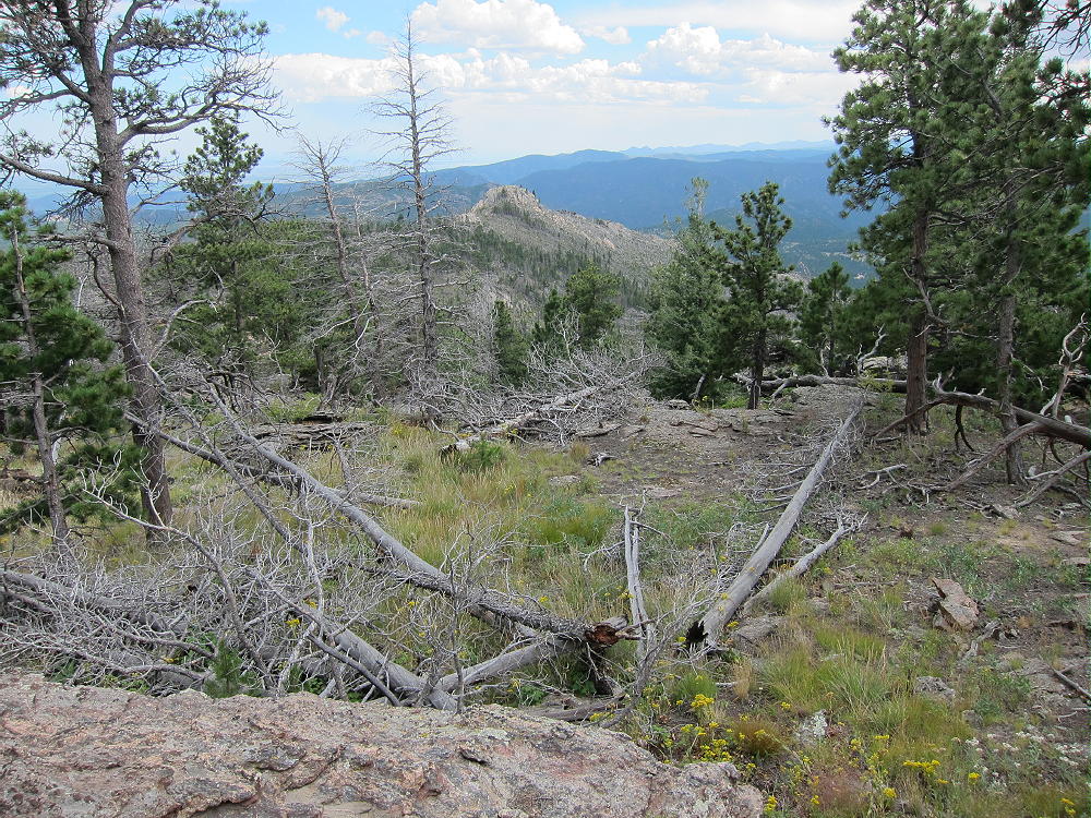
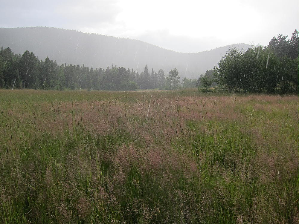
There was a brief rain shower, but the activation went well, and Kenny was very enjoyable. There are views all around, and very few people go up there.
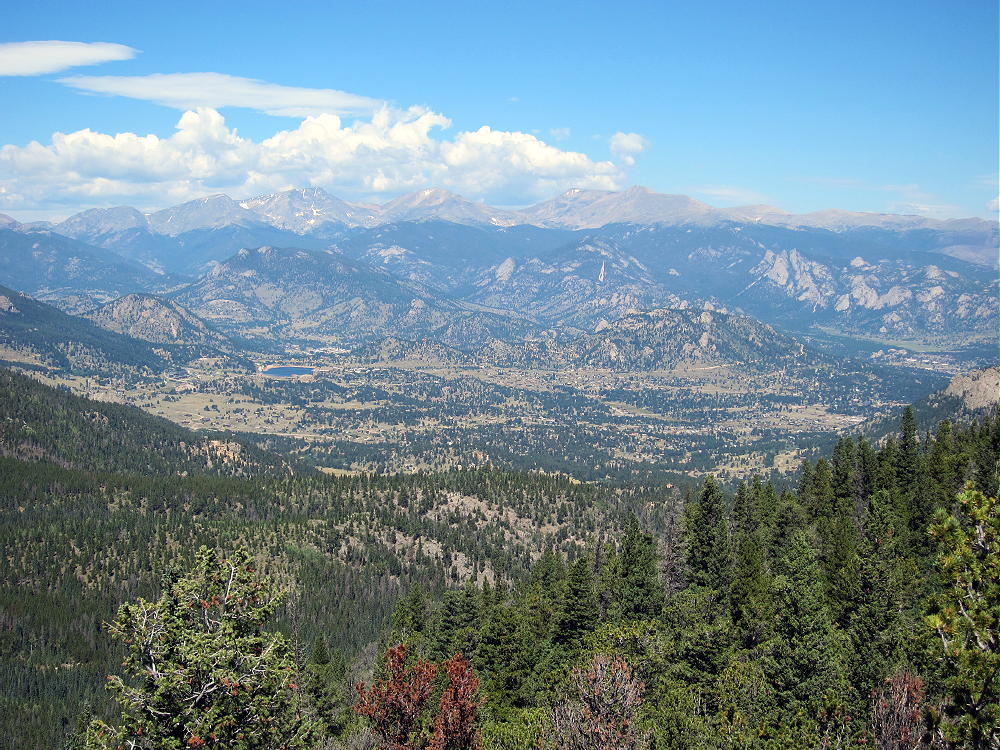
This is a great HF site, with no development close by, and there is little RF noise. HF propagation at low angles is possible in all directions. Kenny has a good view east out to the Plains, so it may be a good VHF/UHF site as well.
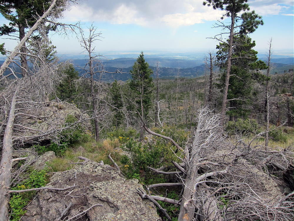
The return hike to Hermit Park was long, but it went fast, and I was back to the car well before sunset. The Homestead Meadows are wonderful in the late summer afternoon. Nevertheless, if you hike south to Kenny Mountain from Hermit Park, start early, and try to pick a dry day. Take plenty of water!
The round-trip hike from Hermit Park to Kenny Mountain measures 12.1 miles. The total vertical ascent is well over 1000 feet, but it’s spread over small hills and valleys; most of the gain is on the northwest side of Kenny. Much of the hike is on closed roads, and these are fast and fun; these roads are now re-opened to bicycles. There is some road-damage from the September 2013 floods, but it’s minimal in the Homestead Meadows, as well as on the slopes of Kenny Mountain.
An activation of Kenny Mountain is a big hike through wonderful scenic meadows full of history – the activation provides a nice rest-break, up high, with fine views out across the burned forest.

Weather and time permitting, a dual activation of nearby Pierson Mountain is practical. Depending on the exact route, this trip will require between 15 and 17 total miles to complete. It’s possible to short-cut across Lions Head Ridge between the Meadows and Pierson, but it’s a rough bushwhack trip, and I doubt that it saves any time or effort, even though it looks OK on the topo map!
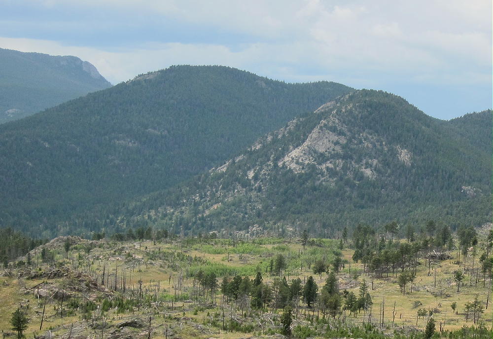
After some thought, I rate the dual activation as a SOTA Classic – but only on a good day! I really like Pierson Mountain, the valley behind Lions Head, the Hill Homestead, and the journey through the Homestead Meadows.
An advantage of hiking in from Hermit Park, aside from the wonderful scenic tour of the whole region, is that Kenny Mountain can be activated during the same hike with Pierson Mountain, with only a few additional miles added to the loop. The additional vertical ascent is minimized. With the Lion Gulch Trail currently closed, getting to Kenny is not easy, so it’s worth planning an all-day trip to make the most of the long hike.
Pierson – and Kenny – can also be accessed more directly from the East Fork of Fish Creek, northwest of Pierson and Lion Head. I have not hiked that area, but I believe there is a practical route over there.
73
George Carey Fuller
KX0R
 !! WARNING !! There are old mountaineers, and
bold mountaineers… there are no old-bold mountaineers.
Hiking and mountain climbing are potentially hazardous activities particularly in Colorado with its extreme elevations. I am not accepting responsibility for any death or injury resulting from activations based on my trip reports. Proper training, experience, and personal capability assessment is required – enjoy!
!! WARNING !! There are old mountaineers, and
bold mountaineers… there are no old-bold mountaineers.
Hiking and mountain climbing are potentially hazardous activities particularly in Colorado with its extreme elevations. I am not accepting responsibility for any death or injury resulting from activations based on my trip reports. Proper training, experience, and personal capability assessment is required – enjoy!