W0C/PR-061
Iron Mountain
3738 m / 12265 ft
First Activation
Sep 9, 2015
By KX0R
Iron Mountain is a fun, challenging summit in the Never Summer Mountains near Cameron Pass.
Key Points:
• Colorado State Forest
• Access from Cameron Pass
• High, scenic hike
• No marked trail
• Navigation and route-finding required
• Off-trail route, game trails
• ~ 6.6 miles round-trip
• ~ 2600 vertical feet total, round-trip
• SOTA Classic !
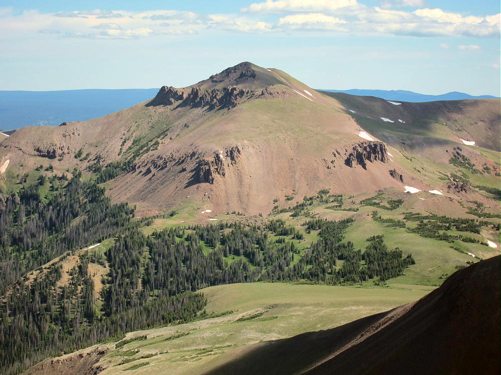
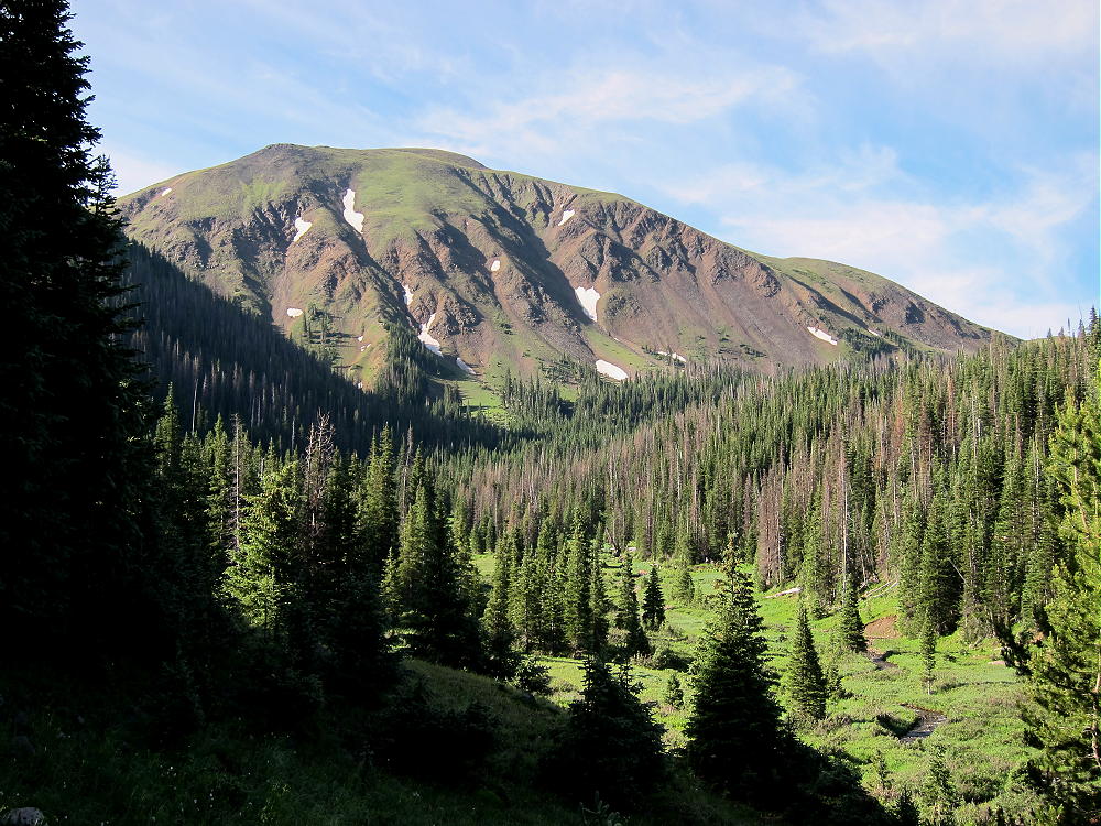
Iron Mountain pulled at me from the first time I saw it. Years ago I hiked across Thunder Pass on a fishing expedition, and I saw Iron Mountain standing to the northeast. The orange–red color and the layered shape of the mountain look different from most peaks in the Front Range. My activation of Lulu Mountain encouraged me to come back to climb Iron Mountain.
Driving Directions:
• Drive to Fort Collins
• Follow Highway 287 northwest about 10 miles to Highway 14.
• Drive up the Poudre Canyon for about 60 miles to Cameron Pass.
• There’s a large parking area just north of Cameron Pass.
• Parking is free, but it’s a popular spot in summer.
• Get up there early, especially on weekends.
Iron Mountain isn’t hard to climb. Conceptually it’s simple:
• Park near Cameron Pass (10,276 feet)
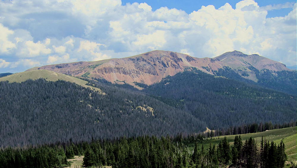
• Climb part way up the forested 11,359-foot mountain east of the pass
• Ascend to the 11,180 foot saddle east of the 11,359 foot summit
• Hike southeast up the ridge to the peak at 12,040 feet
• Continue southeast along the ridge to Iron Mountain
Detailed Hiking Directions:
From the Cameron Pass rest stop, cross Highway 14 and look for a gated dirt road that parallels a ditch. A fee is requested to walk this road into the State Forest. Follow the ditch road a short distance southeast to a convenient bridge. This is important if water is flowing in the ditch. When I was there in the fall, the ditch was dry. Cross to the east side of the ditch. Many game trails run through the forest, because elk and moose are numerous there. Hike generally northeast on game trails, and climb up toward the south side of the mountain. It’s steep and rough at first, but the route gradually gets easier as it gains altitude.
At about 11,000 feet, look for the saddle east of the summit – it’s not necessary to climb all the way to 11,359 feet. Contour east and head up an open gully to the 11,180 foot saddle. Try to use the efficient game trails available.
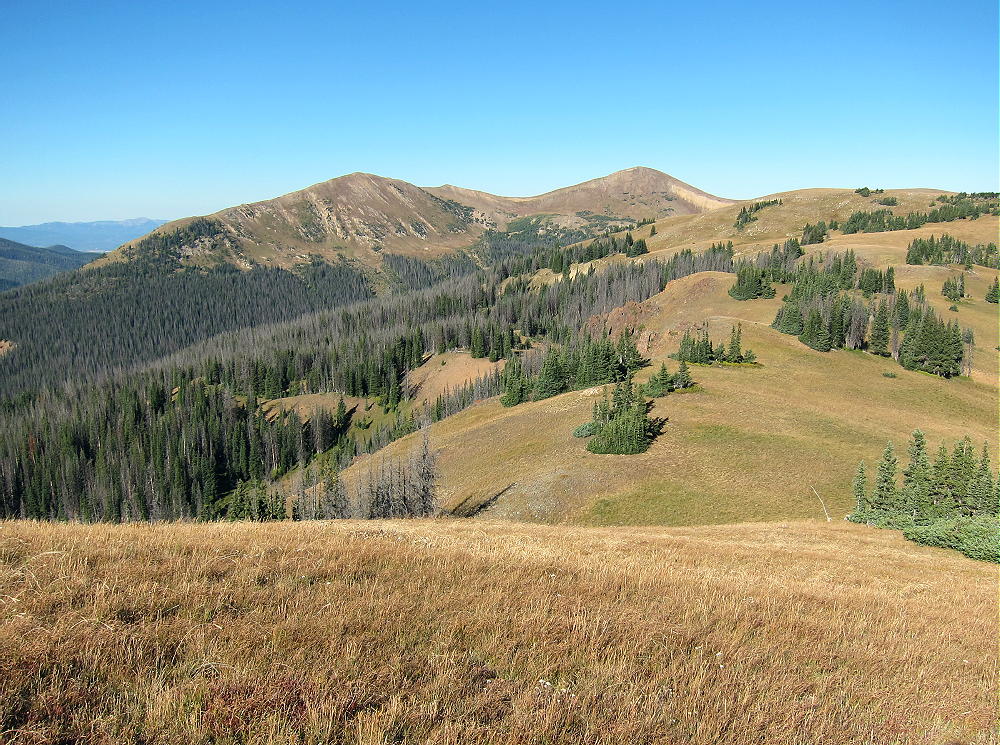
Once on the saddle, the navigation is easy. Head east at first, and then climb southeast up the steep shoulder of the 12,040-foot peak above – this peak is called Table Iron.
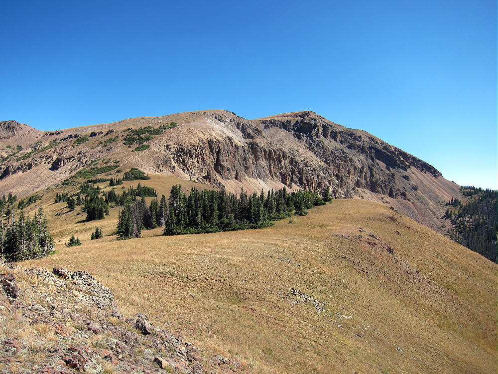
The route gets easy toward the top. The scenery improves rapidly, with stunning views of the entire region from the top of Table Iron.
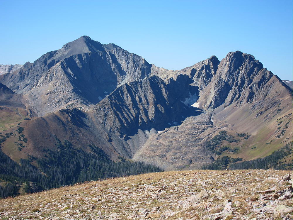
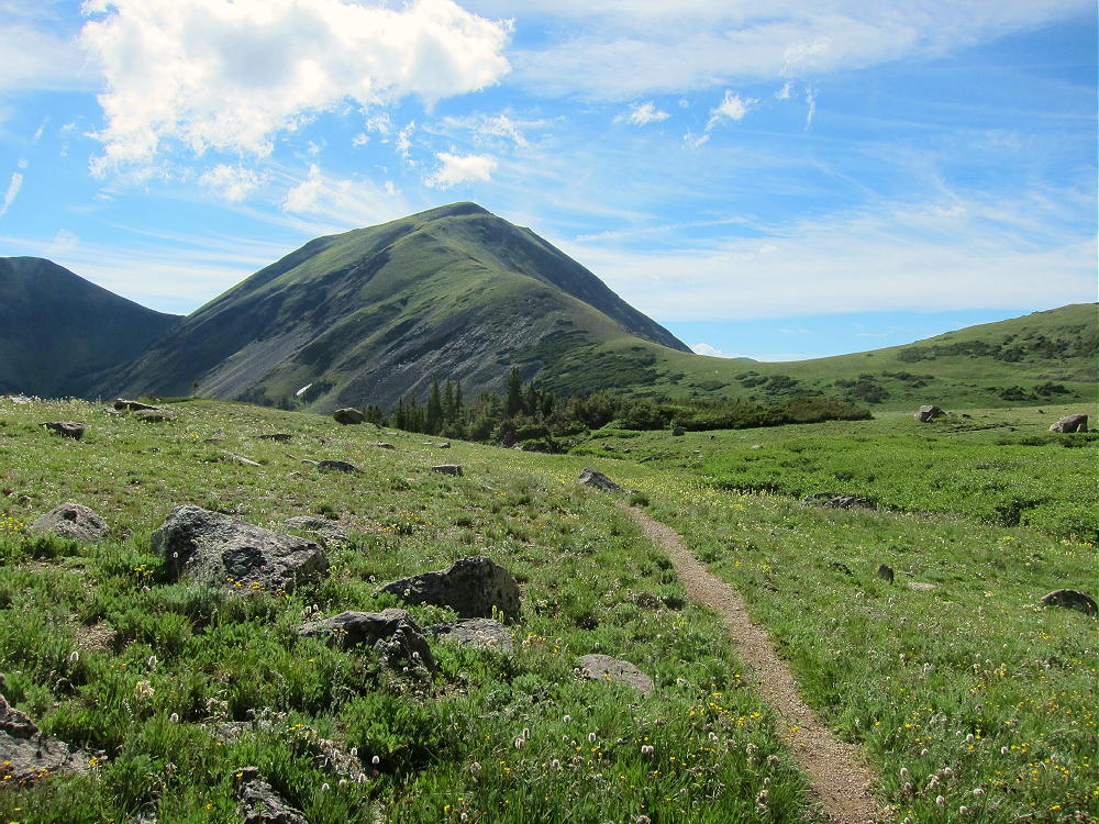
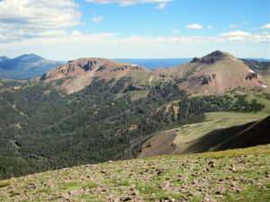
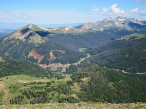
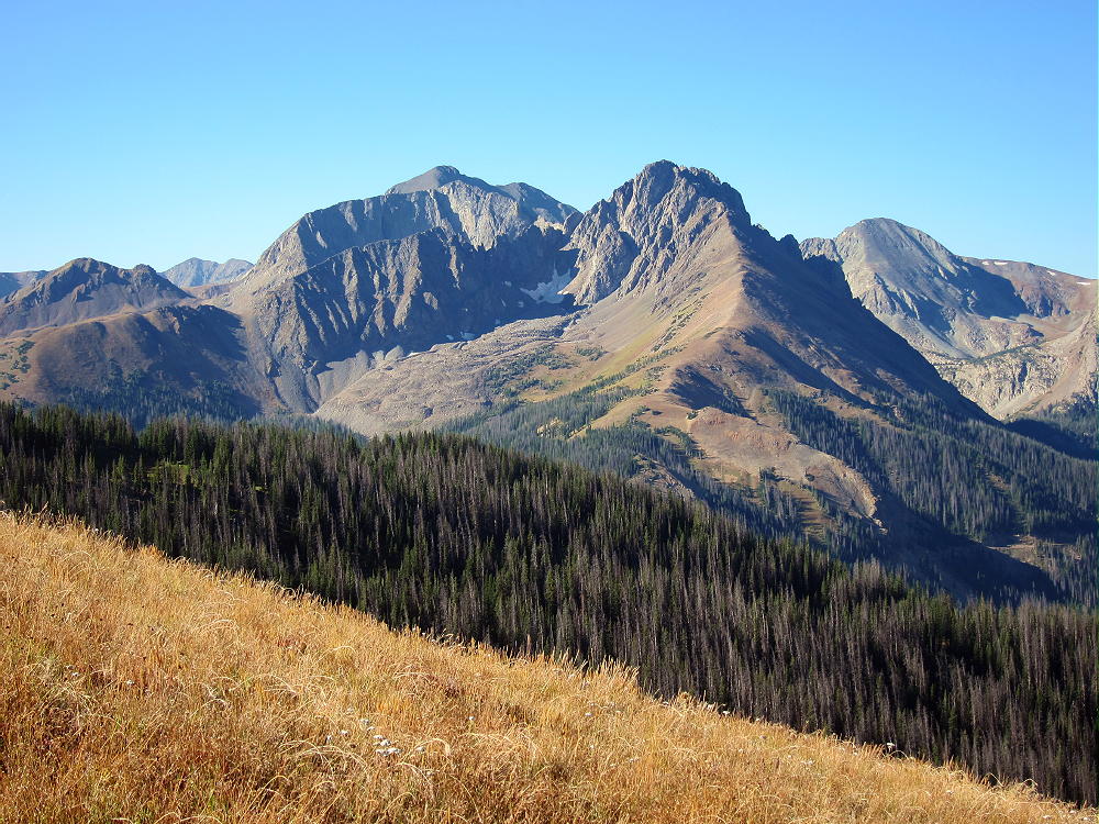
An unusual alpine plain slopes gently for miles to the northeast – it’s probably an ancient lava flow. Table Iron and Iron Mountain, as well as other peaks in the region, are of volcanic origin; hence their red color and layered form.
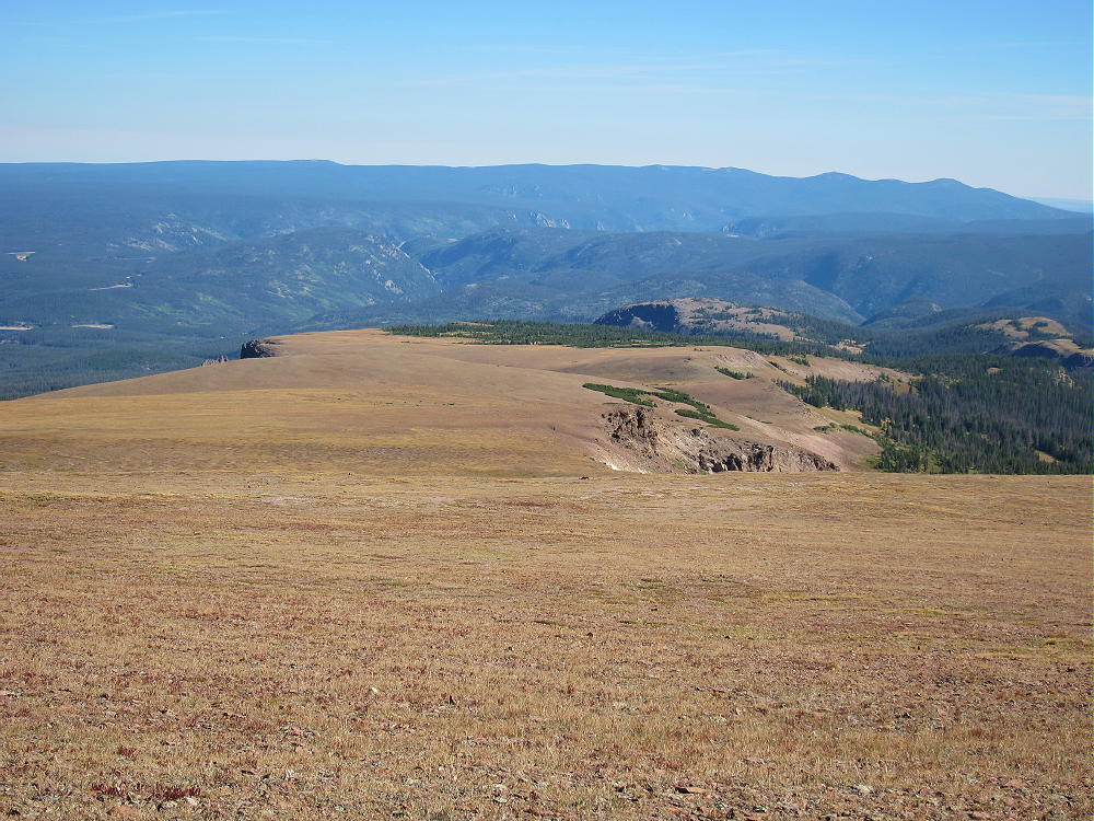
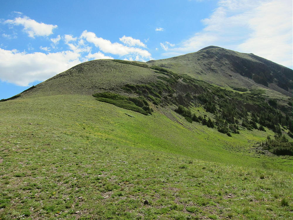
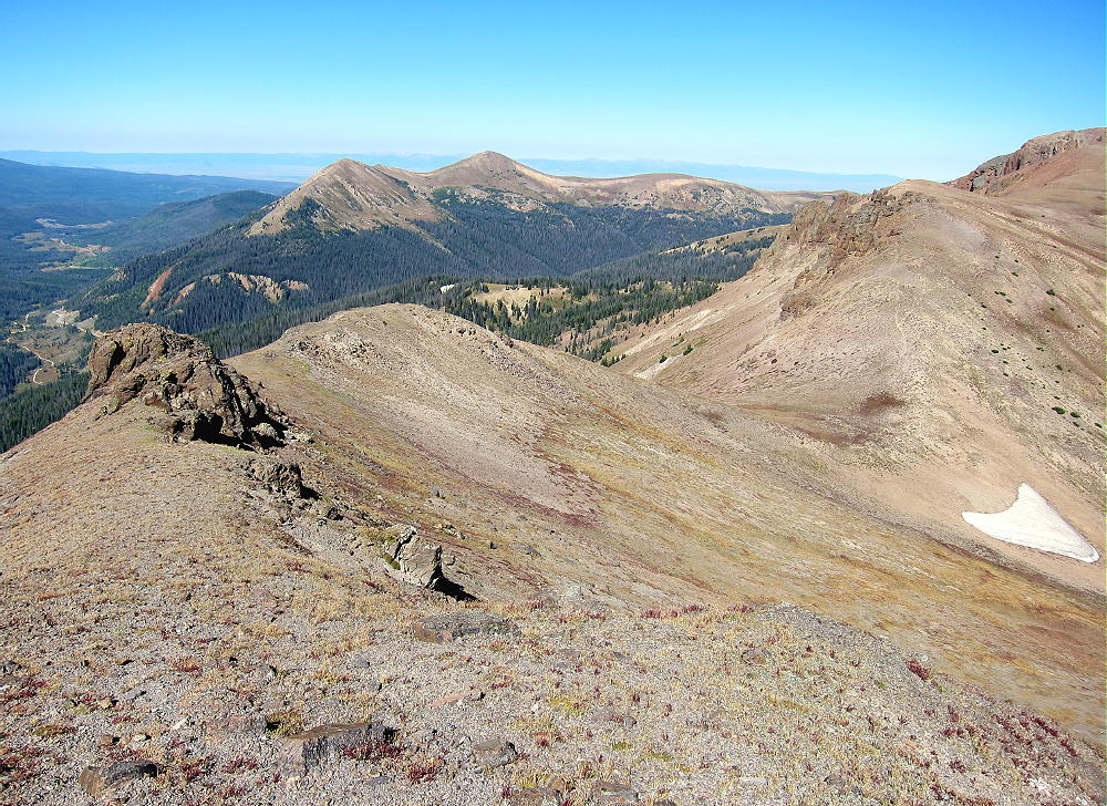
From Table Iron, descend southeast along the gentle ridge to the 11,700-foot saddle below Iron Mountain. Continue on up the northwest ridge of Iron Mountain. Go around the rocky outcrops. There’s some talus in spots, especially near the top.
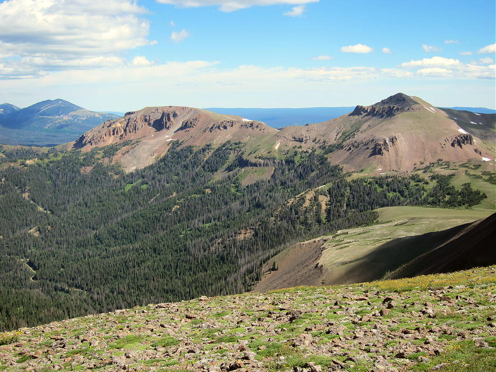
It’s about 560 vertical feet from the saddle up to the peak. From Table Iron to Iron Mountain is almost a mile. It’s a spacious, scenic, alpine ridge!
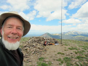
The summit of Iron Mountain is small – a large pile of rocks marks the spot.
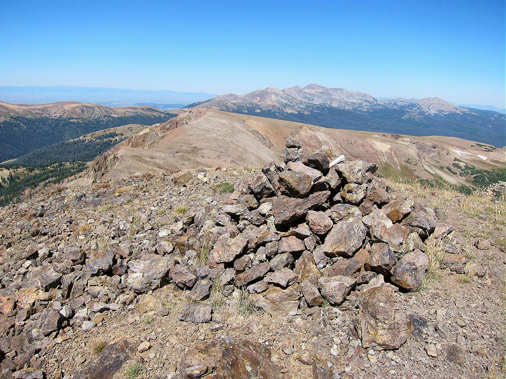
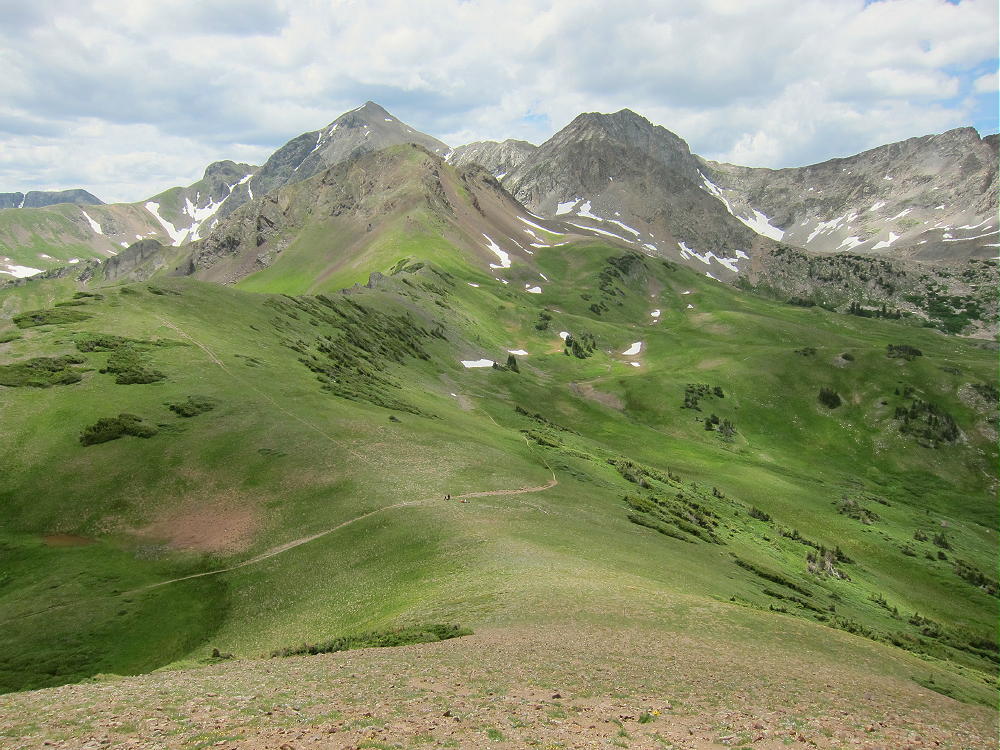
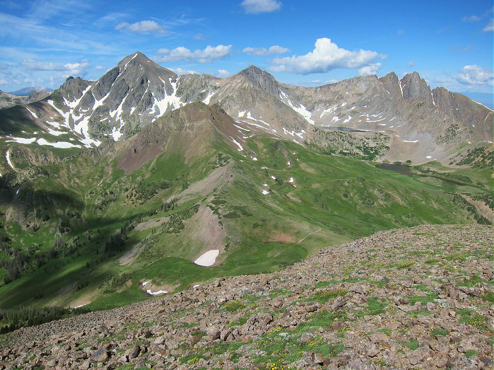
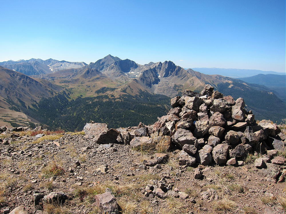
The views are stunning in all directions. Mount Richthofen and the Nokhu Crags loom ominously to the southwest; Thunder Mountain and Lulu Mountain stand to the south; the Diamond Peaks are to the west; and Clark Peak stands high, up north in the Rawah Wilderness. The Poudre Canyon stretches out to the eastern horizon; Mount Ethel and North Park are visible far to the west; the Mummy Peaks stand in Rocky Mountain Park to the southeast. The panorama is so complex and intense that it’s a distraction from radio operating!
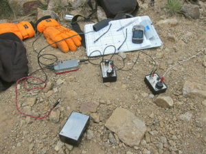
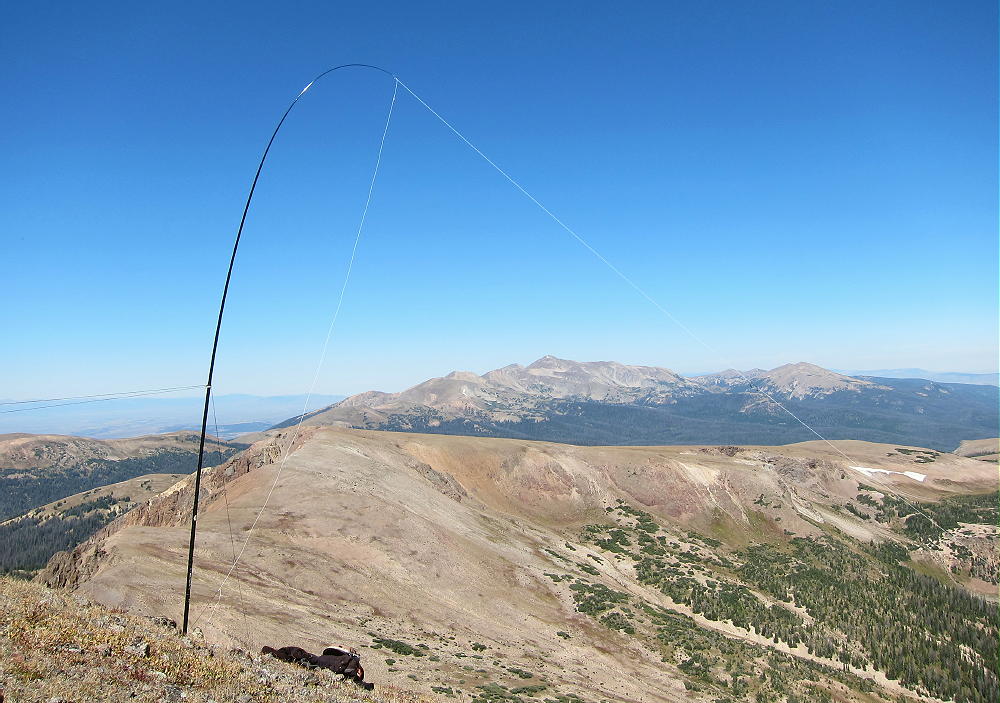
There’s enough space for an HF activation right on top. It was sunny but windy when I was there, so I set up slightly down the east slope. I guyed my pole to three rocks – this is sometimes the only good choice on alpine summits.
Iron Mountain is miles from development, and it’s a very quiet HF site. My activation was somewhat disappointing, despite the incredibly ideal radio site. I made 18 contacts on 20M and 30M CW; but I also called CQ on 40M and 17M with no replies. I was spotted by the RBN only on 30 and 20M. There were no spots on 40M or 17M, despite my long runs of CQ’s. The solar conditions were certainly poor – the 10 cm Flux was only 82, and there was a magnetic storm in progress during my activation. Despite being on one of most spectacular and prominent SOTA peaks around, I had one of my worst activations. There was nothing wrong with my gear, or with locating off the peak and down the slope slightly. Numerous activations at similar sites, as well as many inferior sites, have proved that many times over.
There is nothing magical about a high, prominent, spectacular alpine summit in the wilderness. It can’t change poor conditions on the bands – insufficient ionization in the F layer, increased losses caused by a geomagnetic storm, heavy QRN from lightning storms elsewhere, etc.
The peak has very limited VHF/UHF coverage – mostly far to the east, and out across North Park.
Iron Mountain is a SOTA Classic for several reasons:
• Outstanding Views
• Alpine ridge-top Hike
• Prominent
• Less traveled summit
• Wilderness
• Challenging route
• Miles from development
• Fine HF radio site
This is the highest summit for several miles. The area around Thunder Pass is prone to lightning storms in summer. Avoid this area if storms are likely – the entire ridge route is dangerous in bad weather!
Iron Mountain might be combined with other nearby SOTA peaks for a dual activation. It would be a long day:
Lulu Mountain W0C/PR-006 2 miles south along the ridge
North Diamond Peak W0C/PR-072 3 miles NW, near Cameron Pass
There are many opportunities for camping, backpacking, fishing, and other recreation in the nearby National Forests, the Colorado State Forest, and Rocky Mountain National Park.
If you like this area, read this amazing trip report!
73
George
KX0R
 !! WARNING !! There are old mountaineers, and
bold mountaineers… there are no old-bold mountaineers.
Hiking and mountain climbing are potentially hazardous activities particularly in Colorado with its extreme elevations. I am not accepting responsibility for any death or injury resulting from activations based on my trip reports. Proper training, experience, and personal capability assessment is required – enjoy!
!! WARNING !! There are old mountaineers, and
bold mountaineers… there are no old-bold mountaineers.
Hiking and mountain climbing are potentially hazardous activities particularly in Colorado with its extreme elevations. I am not accepting responsibility for any death or injury resulting from activations based on my trip reports. Proper training, experience, and personal capability assessment is required – enjoy!