W0C/FR-165 (Signal Butte) 2877M /9459 FT
Feb 28, 2014
by KX0R
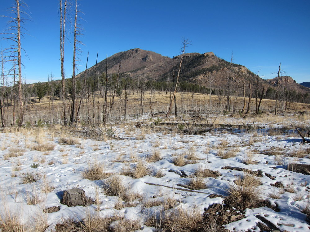
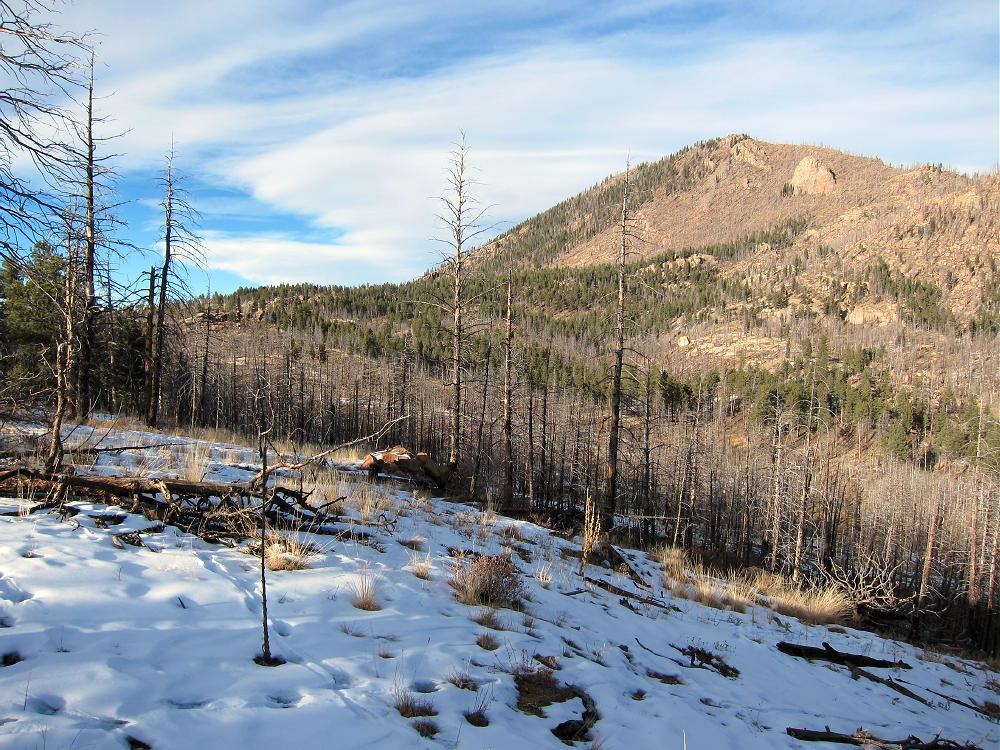
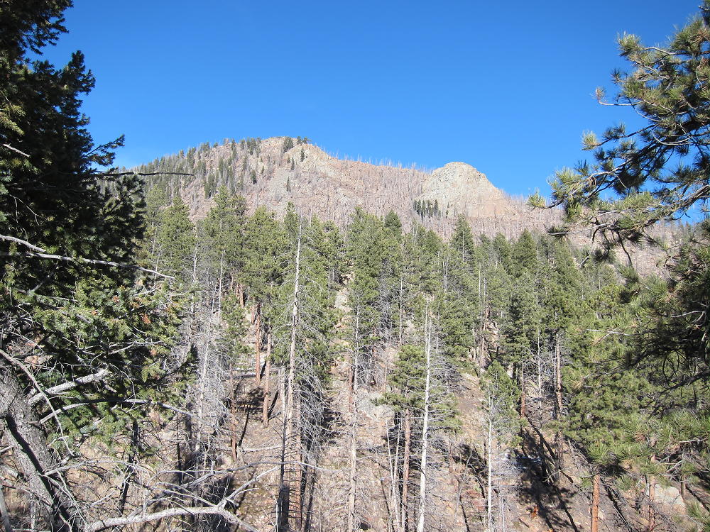
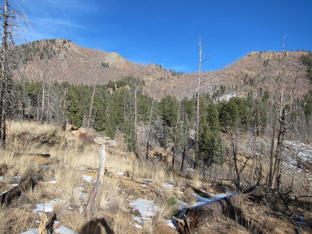
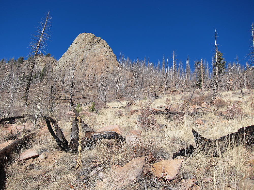
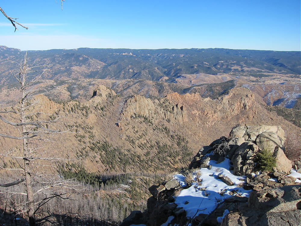
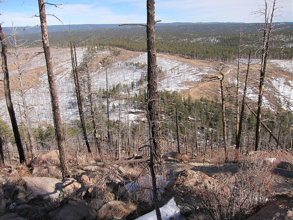
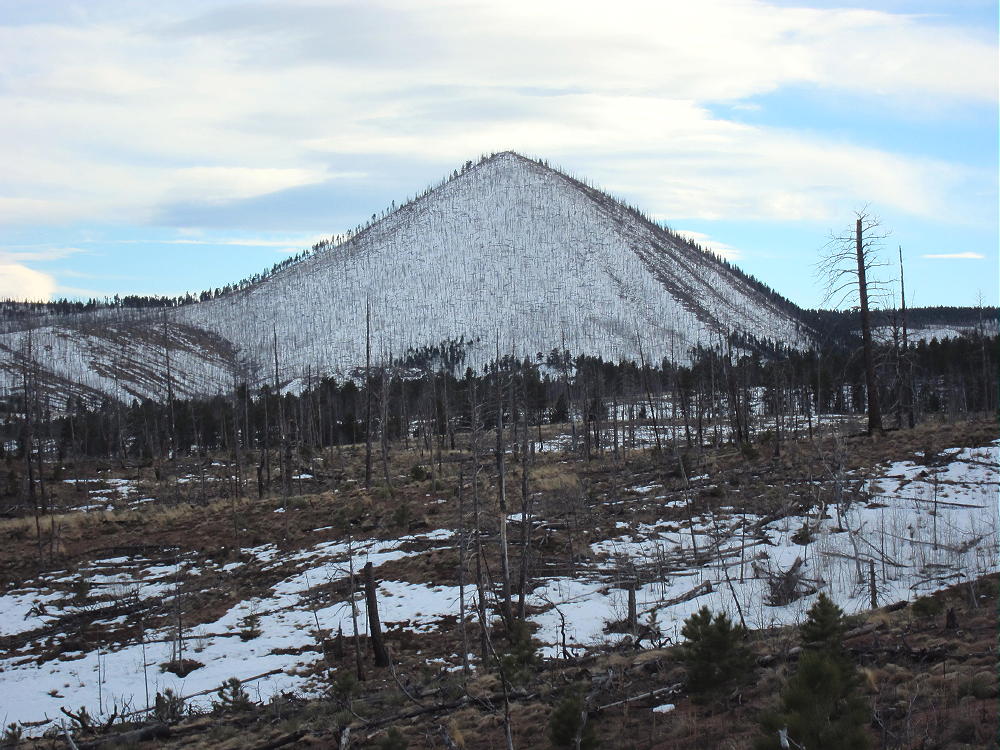
Signal Butte is a fine SOTA peak located in the southern part of the huge Hayman Burn area. I first saw it from the top of Thunder Butte, about 7 miles to the north. It looks like a little volcano. The 9459-foot summit is only about 570 feet above the saddle to the southeast – but the conical mountain is over 1000 feet above Trail Creek to the northwest. It stands high above endless tens of thousands of acres of burned forest, and it calls out to be climbed and activated!
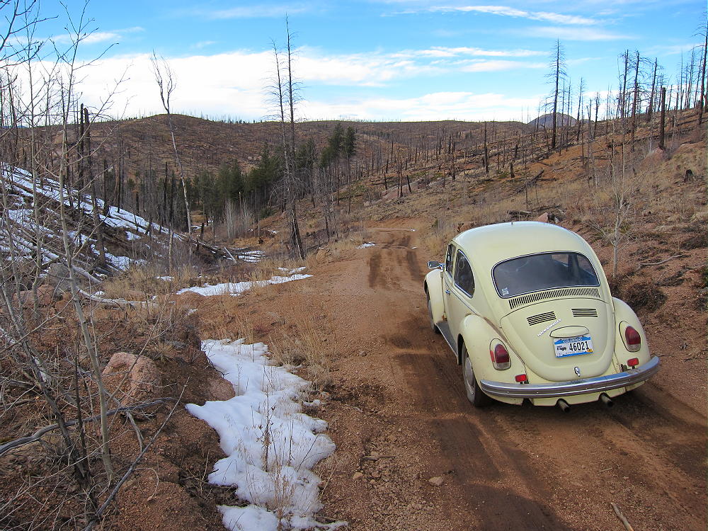
Reaching the trailhead on February 28, 2014 was harder than climbing the mountain. I drove down from up north via Highway 285, Highway 126 to Deckers, and via a network of forest roads SW of Westcreek. I drove down past Sheep Nose and Thunder Butte on road 68 – no problem there. I took route 33 in, and soon I found myself on route 367 in the middle of the burned area. Road 367 has hump-bumps and gradually degenerates as it goes south to Trail Creek. Rutted snow-piles across the road suggest that maintenance is minimal in winter. Signal Butte is visible to the south – it looks really cool with snow on its north side – it beckons for you to come closer. A sign warns “no trespassing” – but driving the OHV road through the posted land is apparently OK. At Trail Creek there’s a huge wood fence and a 4-way intersection. If you have a 4WD vehicle this place is paradise! However, I was driving my 1970 VW bug – actually just fine until I got to Trail Creek.
My original plan was to take forest road 364 up the hill north of Signal Butte, then meet road 362, and take that south to the Butte. Road 362 accesses the trailhead east of the Butte and is suggested by others who have described this mountain online. When I saw the start of 364, it looked very jeep-trail, and knowing that it goes up 500 vertical feet in a gully on the northwest side of the hill, I decided to change my plan and take Road 3 that runs SW down Trail Creek. As soon as I started down Trail Creek, I encountered slimy, cheesy mud and huge puddles that looked to be a couple of feet deep. A sign proclaimed “End OHV Area” – that seemed like good news, except the road got worse than what I’d already driven! I was able to drive at least half a mile before I came into a very wet, soft, cheesy section that seemed to be getting wetter and softer the further I went. I could see deep ruts and puddles ahead, and I decided that I’d better turn around before I got stuck trying to turn around!
If I’d ever done these roads before, the story here might be different. On a cold morning, with everything frozen, there would be no problem with cheesy mud. On the other hand, when you don’t know what lies ahead, where few people go in a burned-out forest on a weekday in February, you better play it safe if you want to activate and get home OK. So I turned around and drove back to the 4-way intersection with a plan to park and walk up the roads to Signal Butte.
Just for kicks I tried driving road 364 up the gully – I cleared the hump-bumps OK – don’t try this road with an ordinary road car – but there was more of that cheesy mud from the melting snow all along the road. When I came to a particularly steep, slick spot, I decided to turn around and park. I looked at the map, got my pack and pole, and headed up the muddy road, wondering how long it would take to walk to Signal Butte.
Of course it turned out that the road got steeper but less muddy just past where I had parked. However, up on the ridge there were rutted snowdrifts with shiny ice, so walking was the right plan. Your results may vary – if you have a 4WD vehicle, this area of roads and trails may be a fun place to mess with, as long as the snow isn’t really deep.
I walked the 2-1/2 miles to the Signal Butte trailhead in one hour. I could see a trail leading around the snowy north side of the mountain, but the wind was blowing steadily from that direction; I realized that if I went directly up the cone from the trailhead, I could avoid most of the snow, and the peak would block the wind.
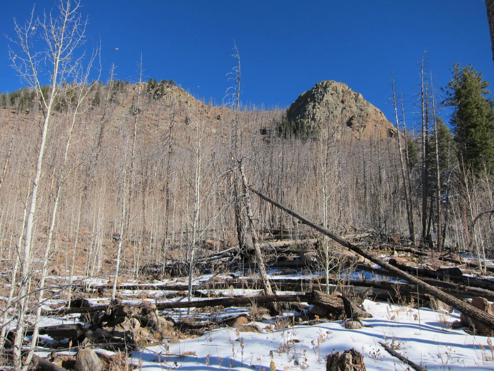
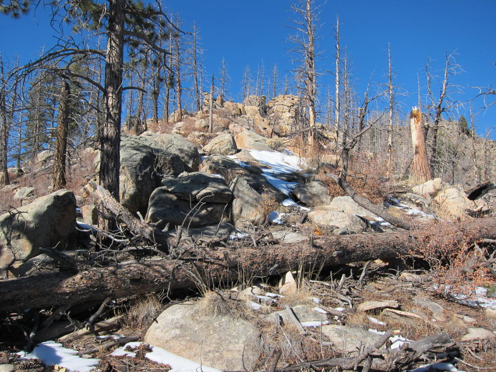
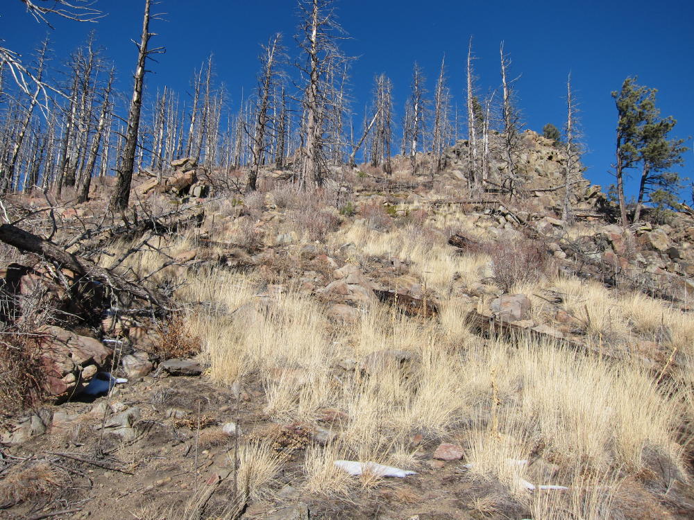
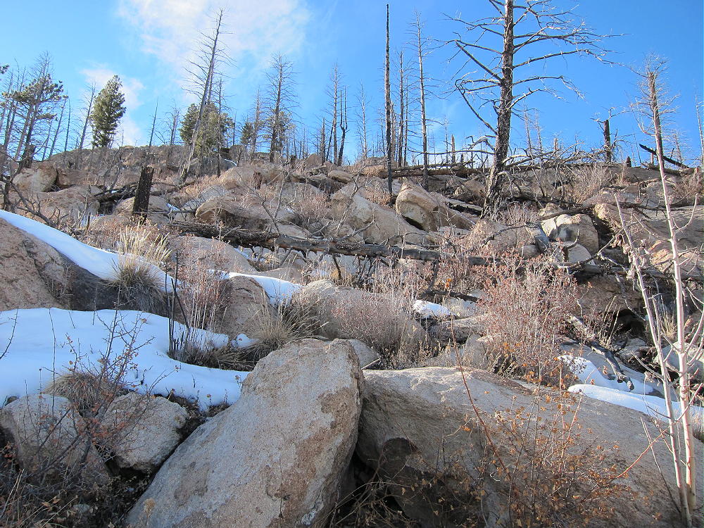
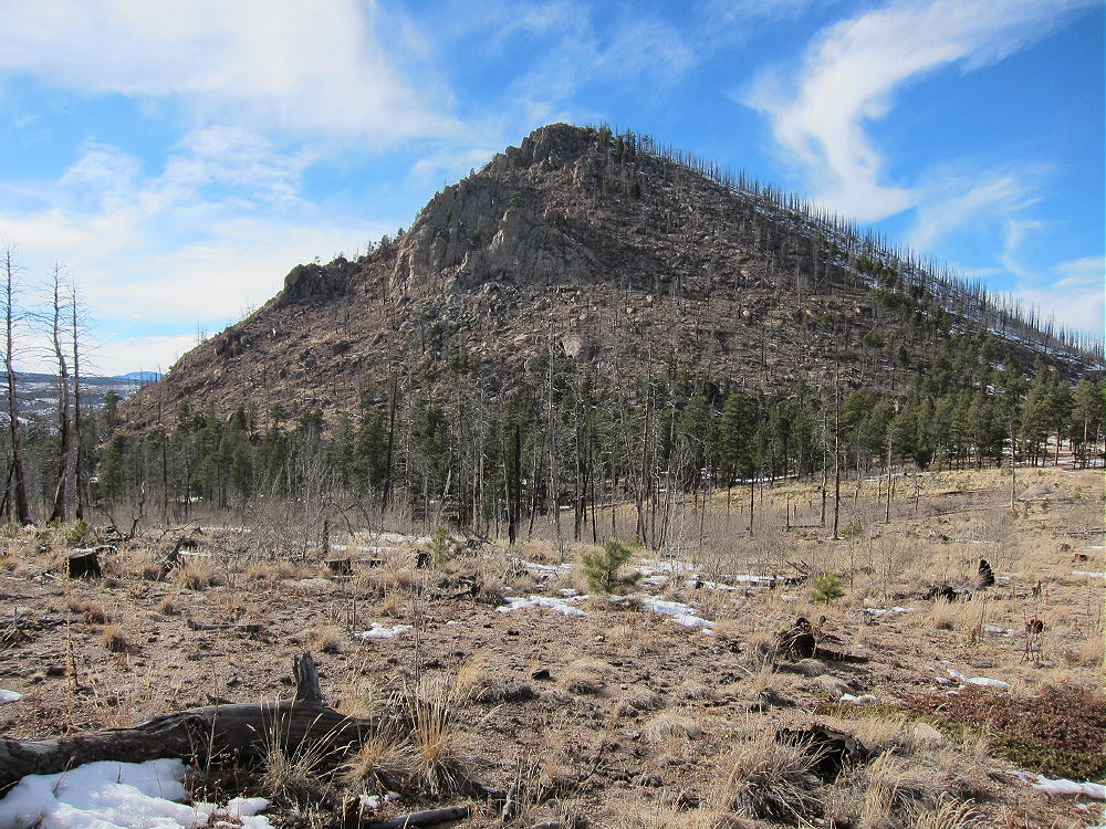
The direct route was easy at first, just a steep slope with rocks and downed burned trees. Most of the soil is gone, exposing more rocks, but visibility up the hill was great. In a short time I was up near the top, where snow drifts covered the rocks and logs, so I had to pick through that part carefully. I followed the snow tracks of a recent climber, likely a fellow activator.
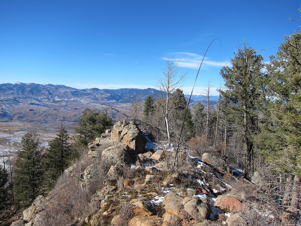
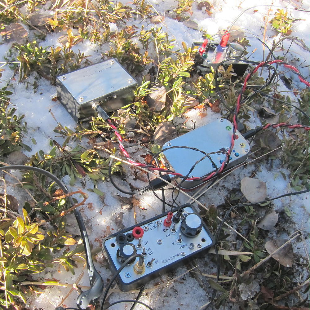
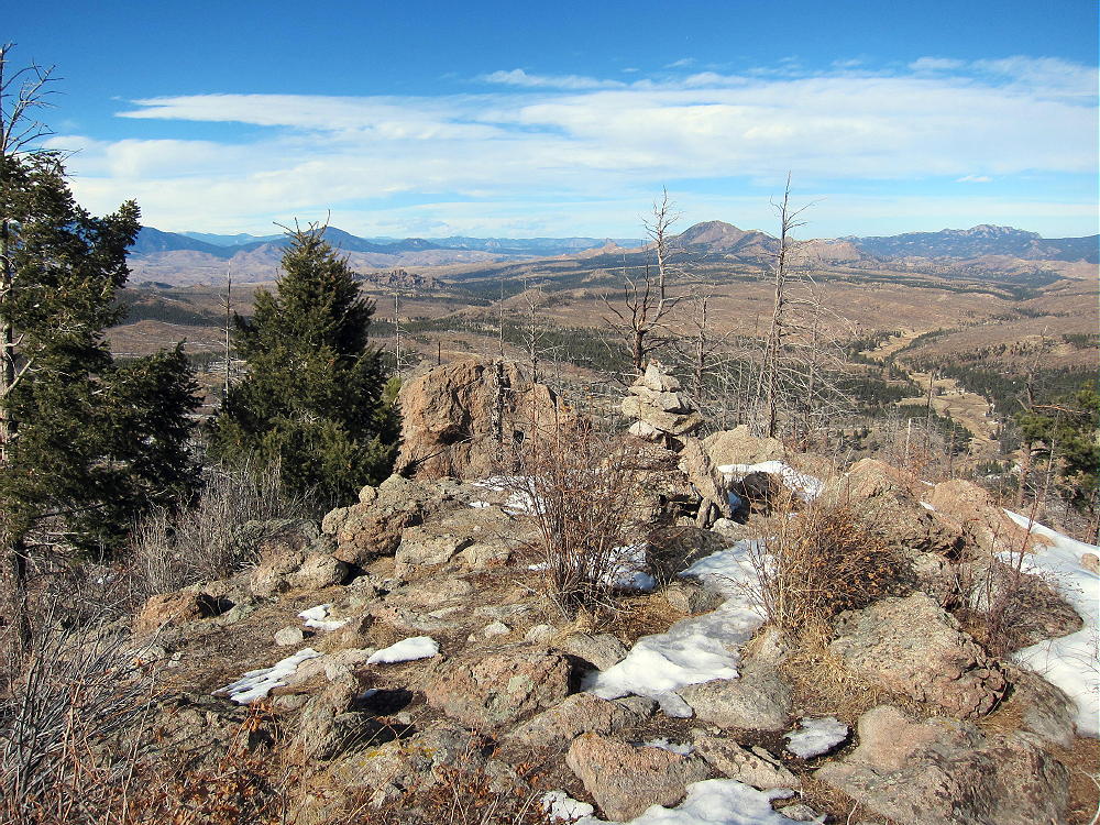
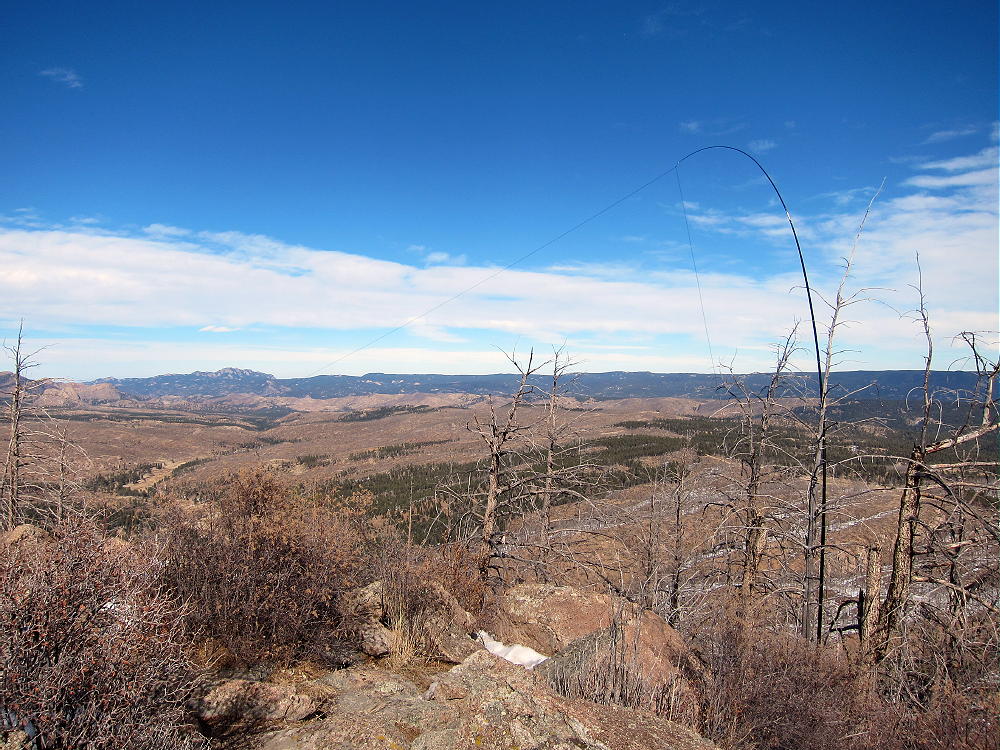
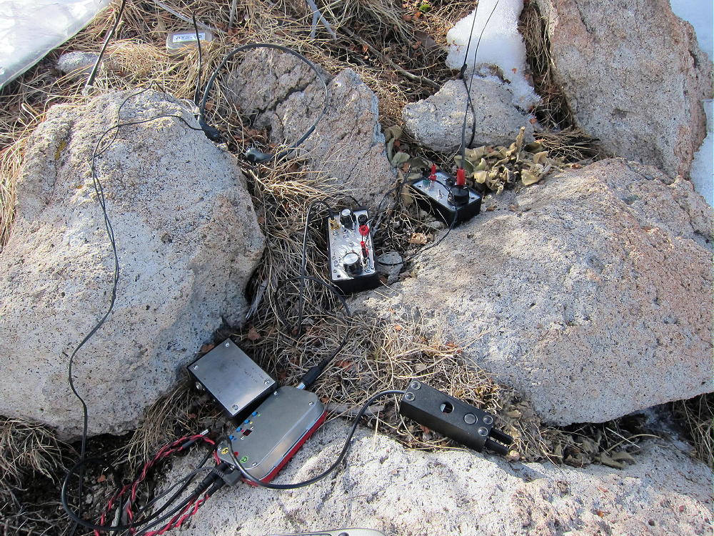
The summit was sunny and spectacular, but the wind was the boss. I was a little late for my activation, so I chose a place to operate just off the top, on the east side, in a pleasant sunny spot among rocks – almost free of wind. I tied my pole to a dead tree and strung the 66 foot wire north along the windy summit ridge, climbing over rocks and in and out of the snowdrifts. In a few minutes I had the big end-fed wire up and ready to go. Even though the north end was only 6 feet up, the wire was well above the summit ridge, and I knew I was going to be OK. The temperature was well above freezing, I had sunshine, the weather was stable, and what had seemed like a dubious adventure was looking pretty good all of a sudden. It’s amazing how things change when the antenna is up!
I matched up the wire on 15M, and N4EX called me before I signed my call, as soon as I sent “QRL?” He spotted me, and then there was a pile. Propagation was great with the solar flux at 170. After about 10 minutes of Q’s, I heard DX, and EA2IF called and worked me. After I worked 21 stations, things came to a stop, so I tuned up on 20M, and there was an instant pile – signals were great – EA2IF worked me again – and then I heard Steve, WG0AT, not far away, out east across the Rampart Range. Near the end of the run EA2LU worked me. I finally went down to 40M but contacted only K5ACO in Arkansas – suggesting that band conditions and the antenna were OK – just no chasers. I was tempted to try other bands, but it was 2:30 and I had a long way to go home, and a cold front was expected to arrive before I would get there. I packed up, hiked down the cone, then back to the car – I enjoyed Road 367 knowing I was going home!
Although I haven’t driven it, I suspect that Road 362 from the south is the preferred access route. I don’t know if it’s OK for ordinary cars or not – it’s likely a high-clearance road, but since it’s on the south side of the ridge, it may be better than the northern route I used. The southern end of 362 is accessible from Divide. If you can drive 362 to the trailhead, the only thing you have to do is climb the 560 vertical feet up the cone, set up, and activate. Since there are some dead trees near the summit, activating without a pole is possible – but a pole makes it easier. In warm weather the trail on the north side may make the ascent easier.
The origin of this odd mountain is fascinating. It’s not a volcano – but it’s the remains of a Tertiary intrusion of light-colored igneous rocks that pushed up through the much older Precambrian rocks about 40 million years ago. I found a fine summary of the geology of Signal Butte.
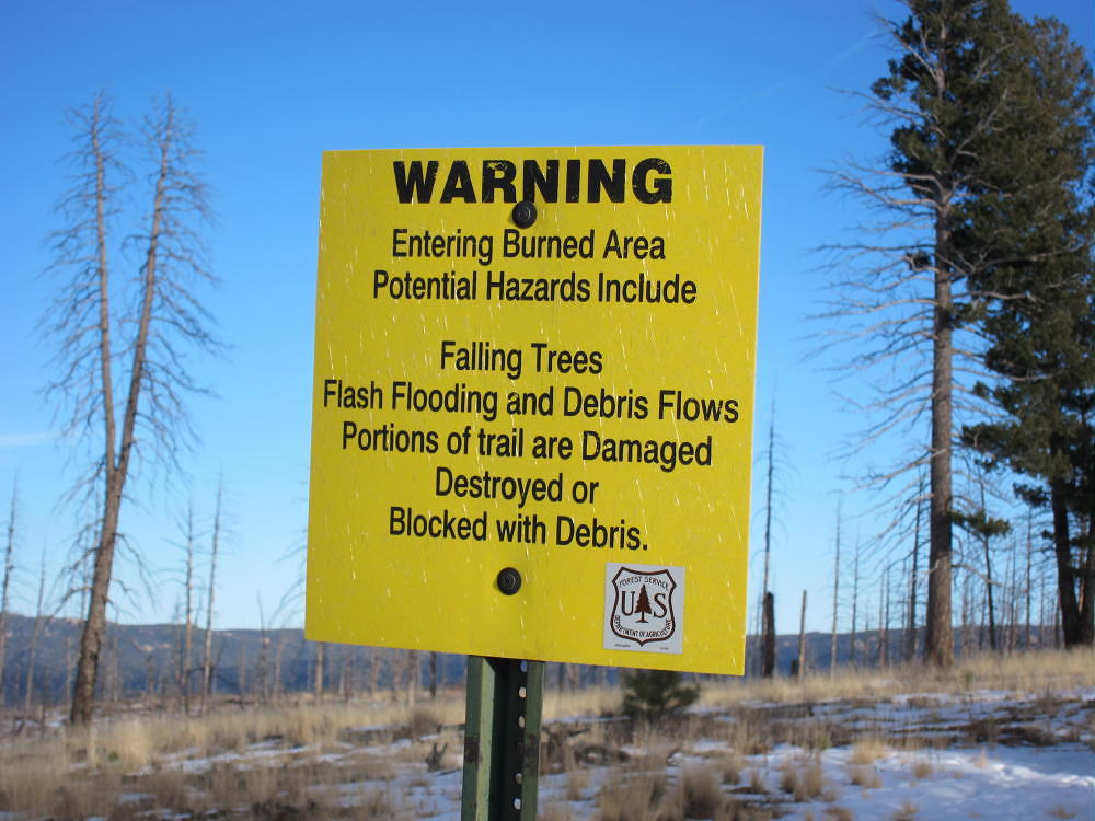
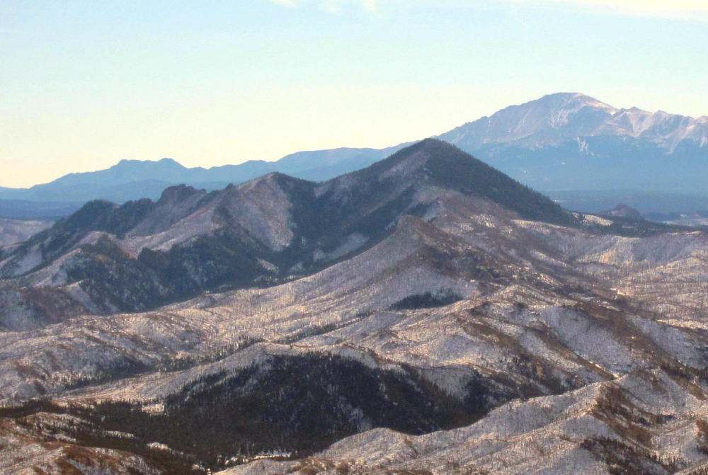
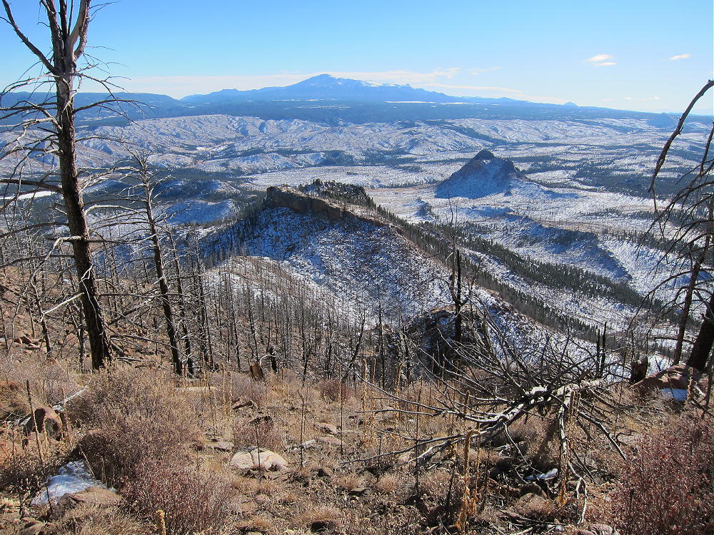
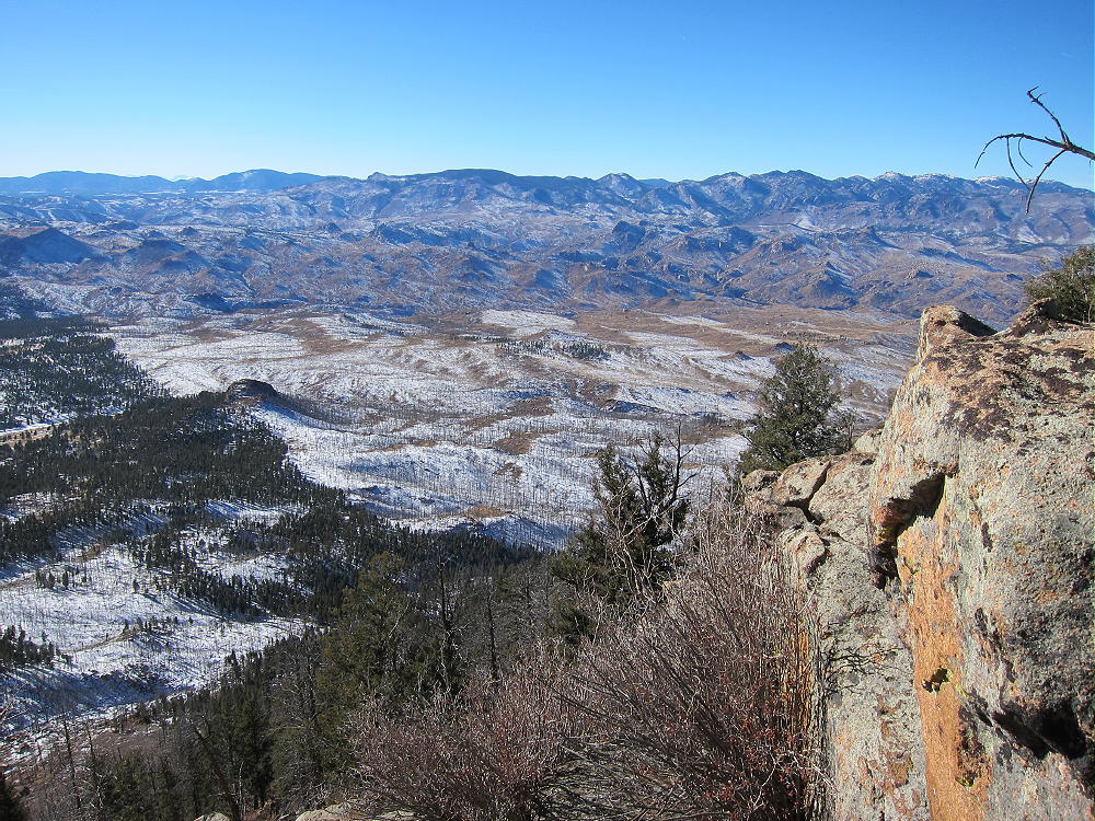
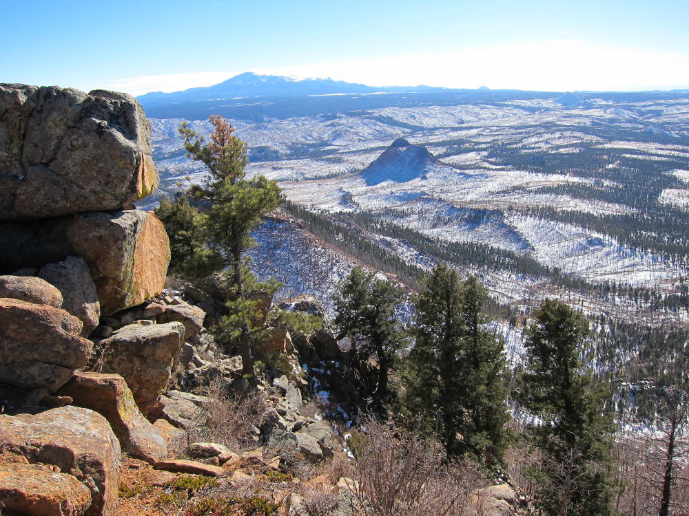
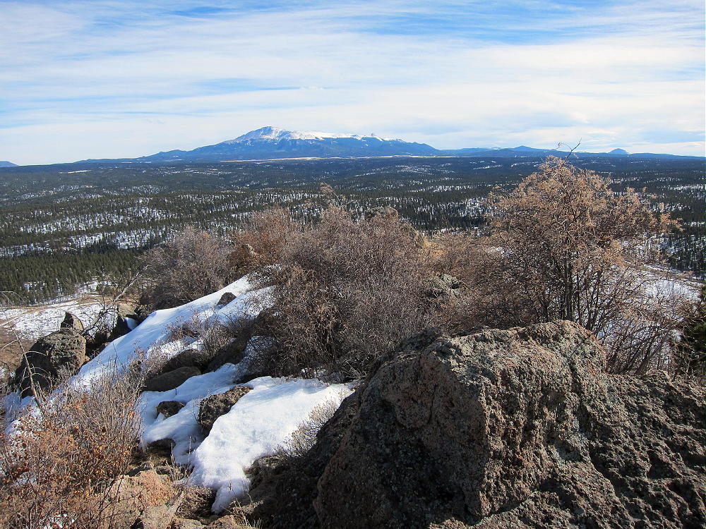
The 360-degree view from the summit is worth the trip. Thunder Butte stands prominently about 7 miles to the north, and Pikes Peak dominates the picture, roughly 16 miles to the southeast. Some high peaks of the Sawatch are visible about 60-70 miles across South Park to the southwest. Burned-out forest fills the scene to the north and west, almost as far as you can see. The horror of the Hayman fire is beyond our ability to understand – it is what it is. Signs of recovery are everywhere, but I’m glad I never saw that area before it burned.
George Carey Fuller
KX0R
 !! WARNING !! There are old mountaineers, and
bold mountaineers… there are no old-bold mountaineers.
Hiking and mountain climbing are potentially hazardous activities particularly in Colorado with its extreme elevations. I am not accepting responsibility for any death or injury resulting from activations based on my trip reports. Proper training, experience, and personal capability assessment is required – enjoy!
!! WARNING !! There are old mountaineers, and
bold mountaineers… there are no old-bold mountaineers.
Hiking and mountain climbing are potentially hazardous activities particularly in Colorado with its extreme elevations. I am not accepting responsibility for any death or injury resulting from activations based on my trip reports. Proper training, experience, and personal capability assessment is required – enjoy!