W0C/SP-069
Lake Park Peak
3476 m / 11403 ft
First Activation
Oct 20, 2016
By KX0R
Lake Park Peak is a challenging sub-alpine SOTA peak in the Tarryall Mountains east of South Park.
Key Points:
• Pike National Forest
• Lost Creek Wilderness Area
• Good trail most of the way
• Challenging off-trail climb to the summit
• Great scenery
• Excellent Radio site
• ~ 12.5 miles round-trip
• ~ 3000 vertical feet
Driving Directions:
• Drive Highway 285 west from Denver, cross Kenosha Pass, and continue to Jefferson
• Turn south on Highway 77 and go about 16 miles to Tarryall Reservoir
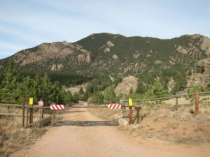
• Continue south on 77 for about 10.7 miles to the trailhead at Spruce Grove Campground
• This campground is about a mile south of Tarryall Ranch
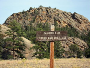
• Look for a sign for the USFS Spruce Grove Campground on the east side
• Park outside the campground, away from the gate
• There is no charge to park
The Hike and Climb:
• Google Maps is inadequate for hiking in this area – trails are missing
• The Trails Illustrated/National Geographic maps are fine
• GPS is useful and recommended
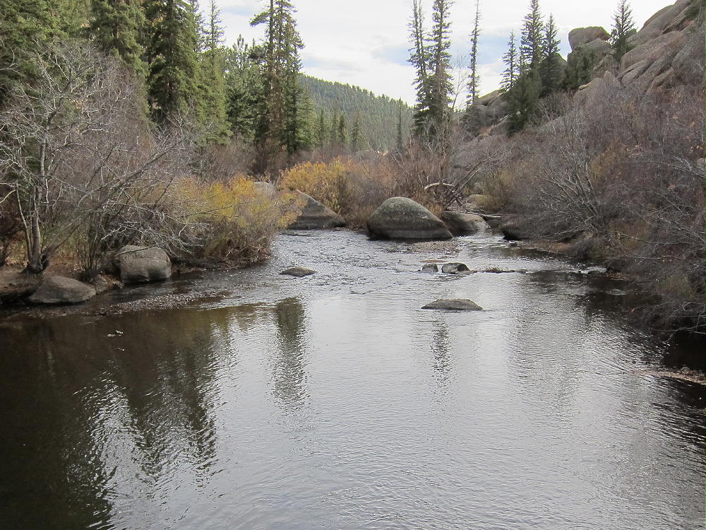
• Walk from the trailhead down into the campground, and head slightly east and down to Tarryall Creek
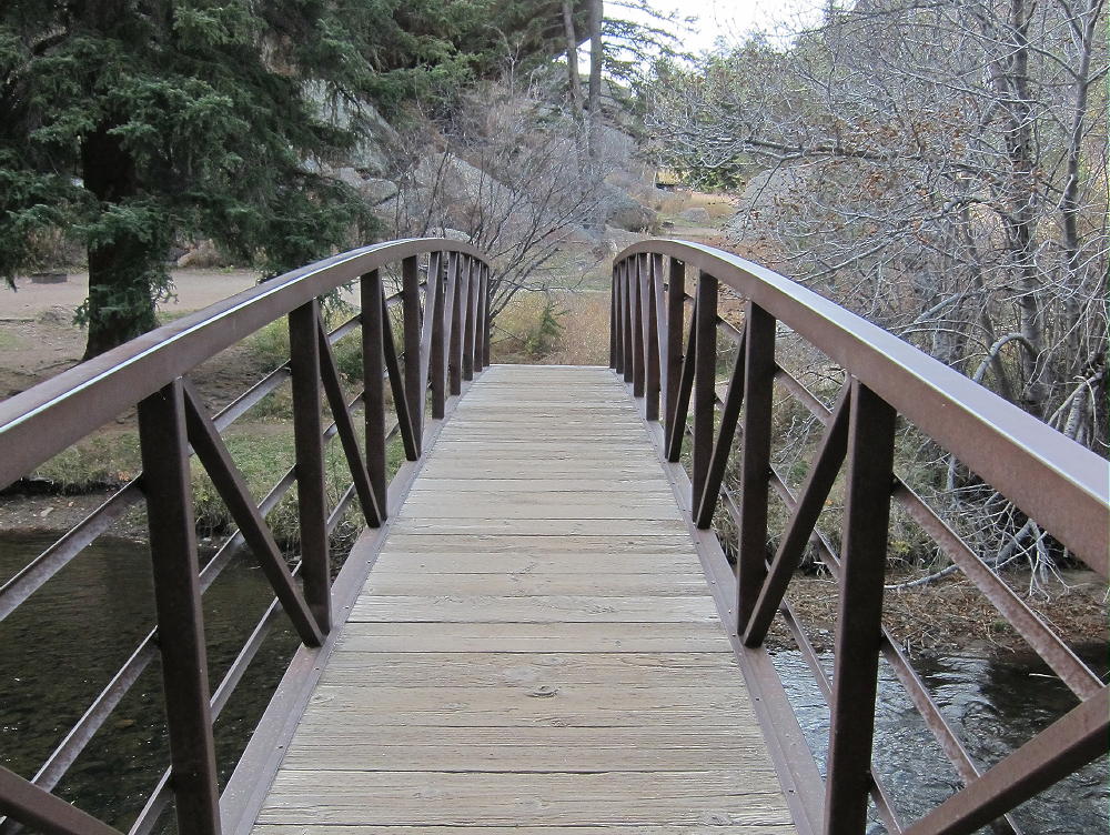
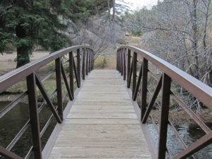
• Cross the creek on a large footbridge
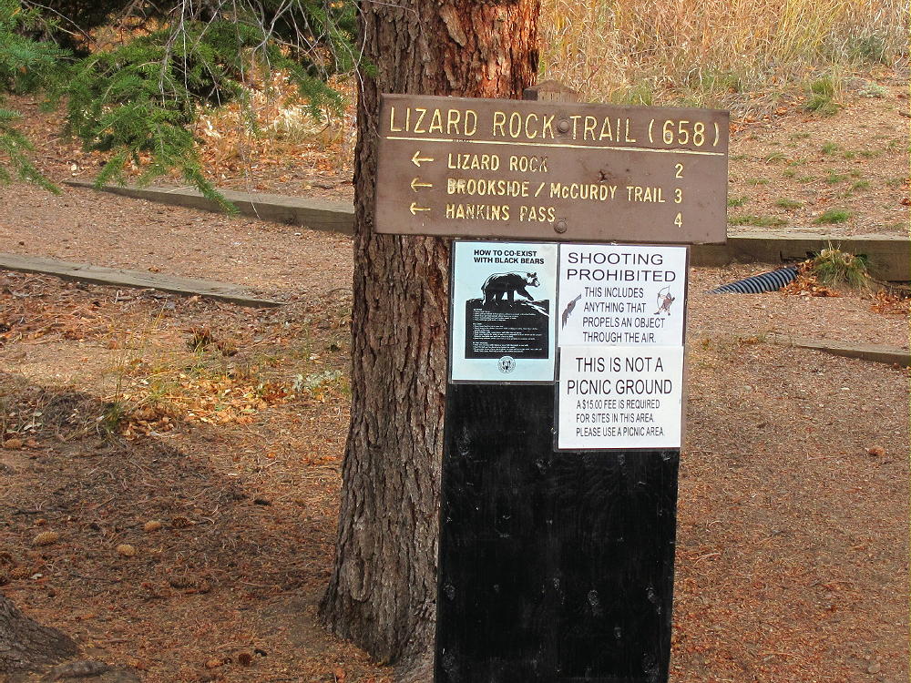
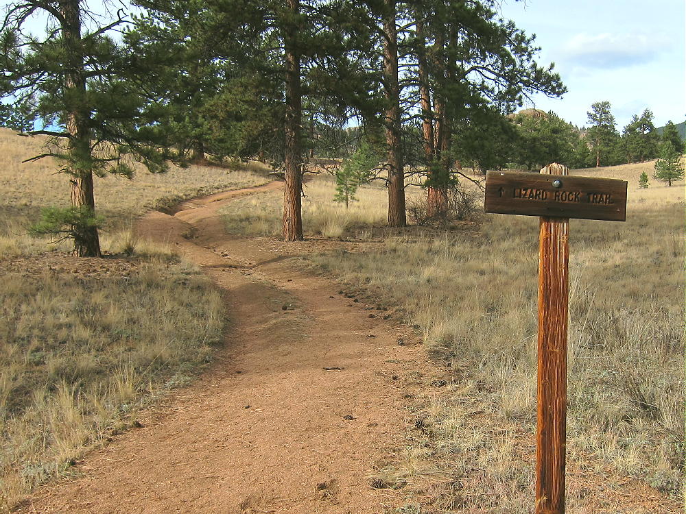
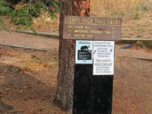
• Immediately head left, upstream, on trail Lizard Rock Trail 658
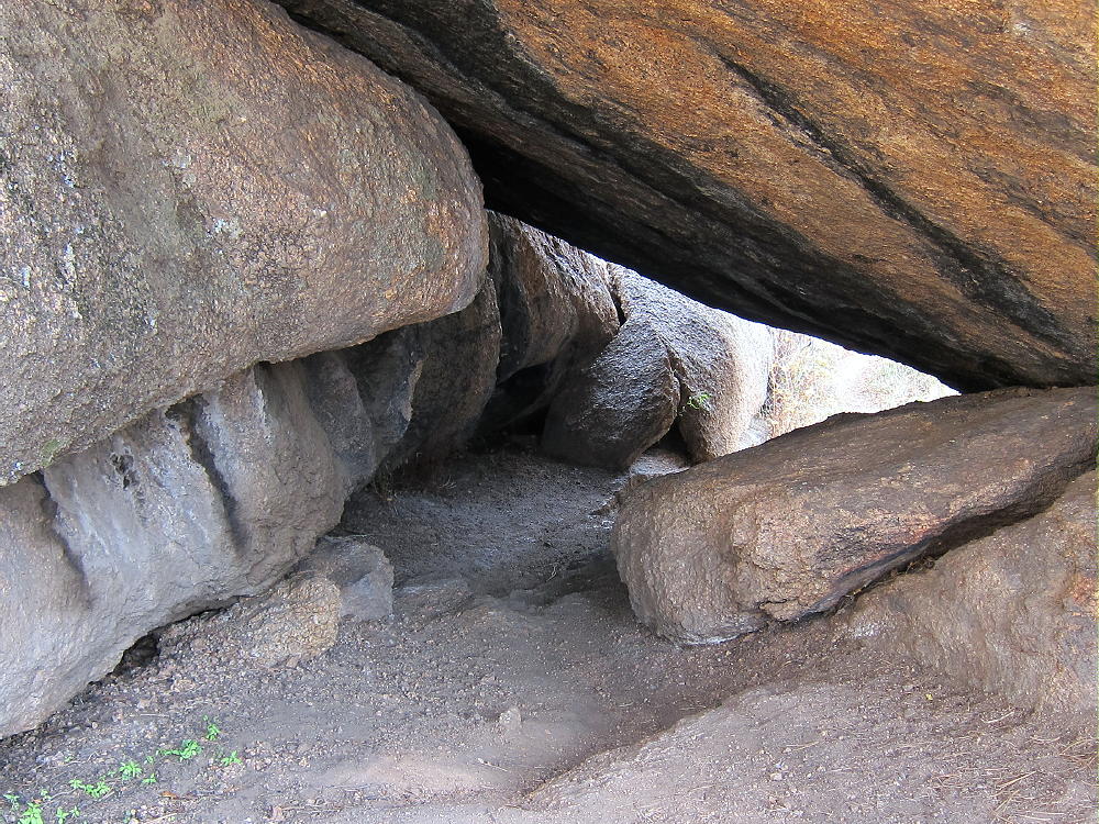
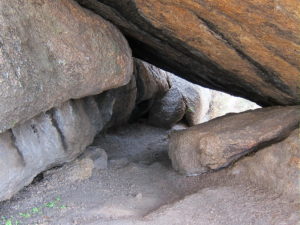
• The route passes through a tunnel under a large boulder
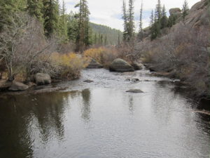
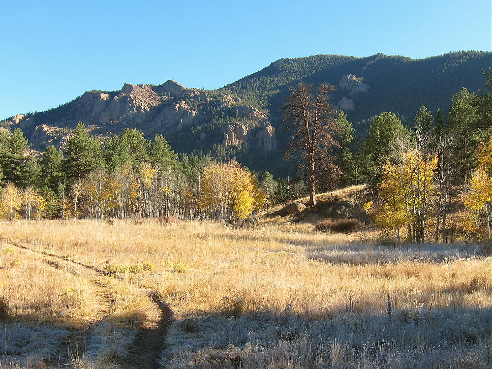
• Continue north through open meadows and up a small canyon on Trail 658
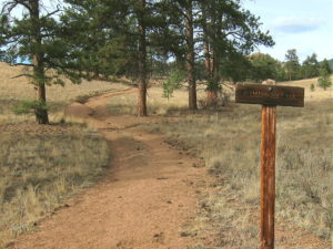
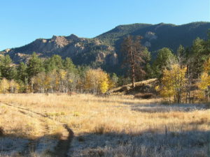
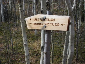
• Where the trail comes to a T-junction, turn right, east on Trail 630 toward Hankins Pass. The trail signs were missing or damaged when I was there.
• Follow the trail up more than a mile to Hankins Pass.
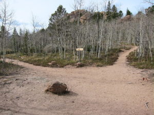
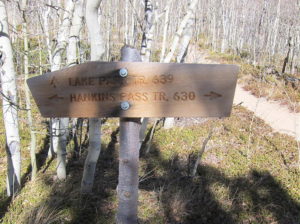
• At the Pass, turn left, north, and follow marked Trail 639 as it climbs switchbacks up toward Lake Park.
• Near 10,900 feet the trail reaches an obvious saddle – Lake Park is visible below
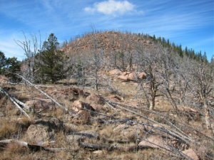
• Head right, off the trail to the east, and climb toward the ridge southwest of Lake Park Peak
• Near the top of the ridge, at about 11,100 feet, contour around to the east, to the south side of Lake Park Peak
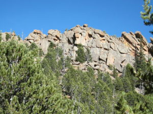
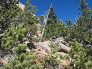
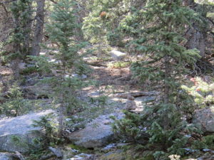
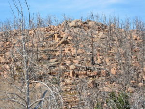
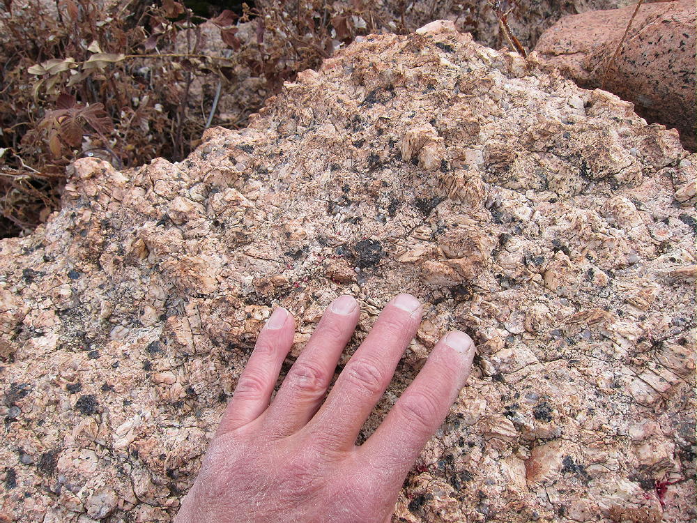
• Climb up through forest and rocks until you see the summit, and then head up the knobby Pikes Peak granite to the top.
• This route avoids rock climbing and scrambling along the craggy southwest ridge
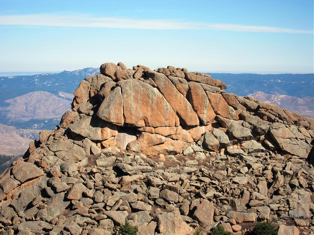
• Note that the western summit is slightly higher than the steep eastern sub-peak, which stands about 500 feet away
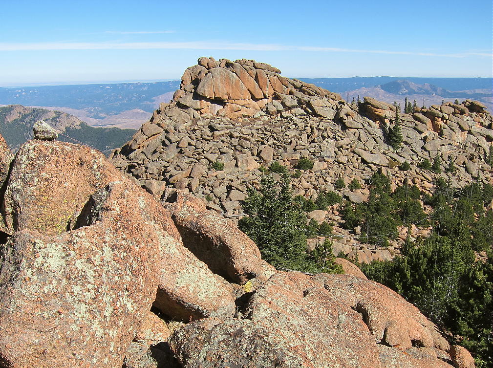
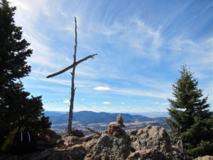
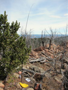
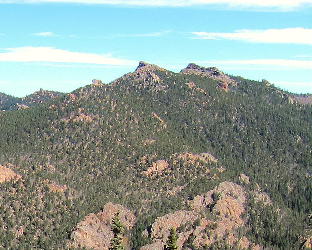
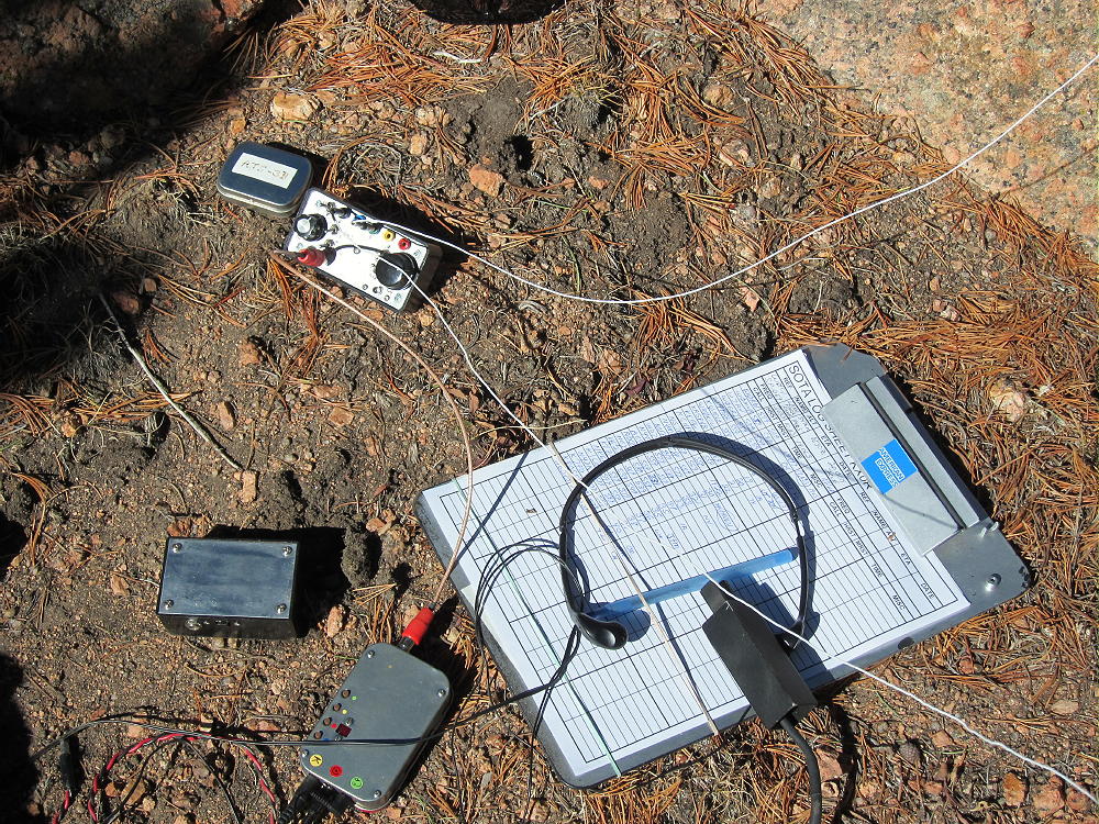
In the image above, look carefully at lower right for the white wire antenna running all the way up to the rock at upper left.
Additional Details:
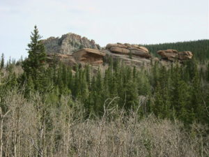
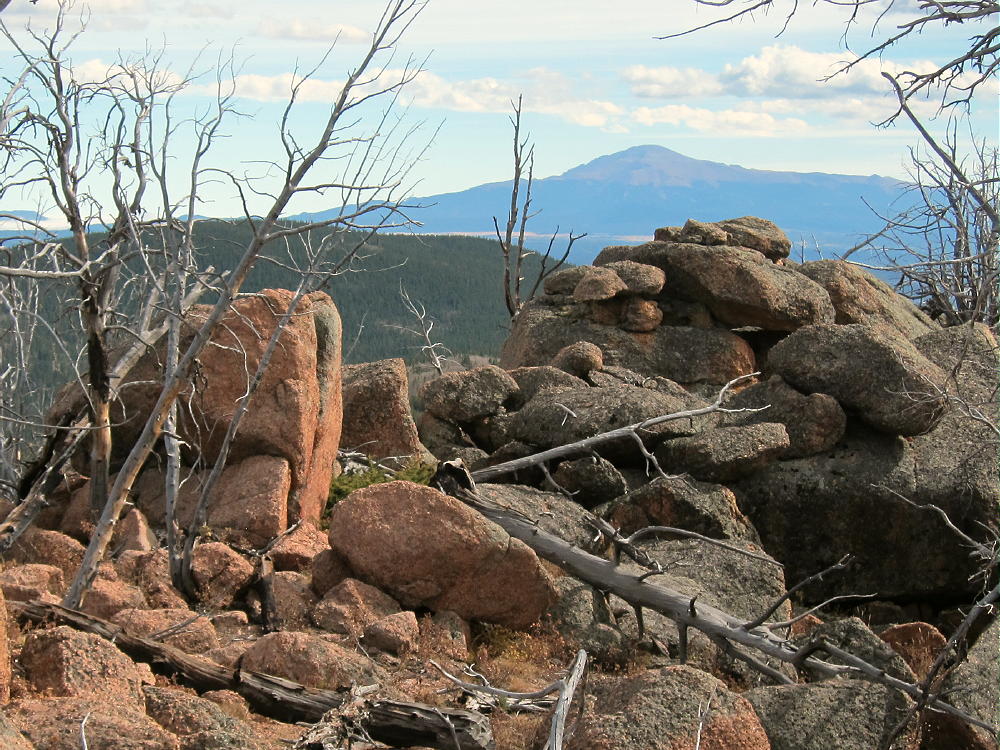
The off-trail part of this ascent is harder than it looks on the map, and it may take longer than you expect! I climbed via the southwest ridge, which involves route-finding and some class-3 moves in several spots. The orange granite is good rock, and the ridge up to the summits is interesting, with many weird rock formations. Lake Park Peak is rarely visited, but it’s visually fascinating.
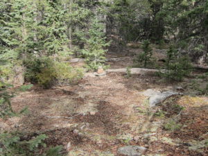
The actual summit is all granite, and setting up a pole there may be difficult. I moved down to the east and tied my pole to a pine tree; I ran the wire up to the ridge near the summit. I had shelter from the wind, warm sun, and an excellent spot to operate from.
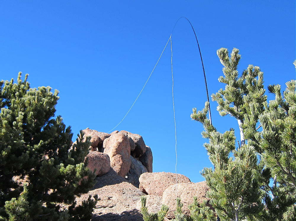
Lake Park Peak is a perfect HF site. Miles from any development, the noise level is very low. The prominent summit falls away quickly in all directions. No nearby mountains cause significant blockage of HF skip signals.
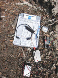
My SOTA First Activation was fun. I made 26 CW contacts on 3 HF bands.
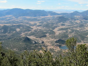
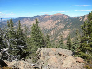
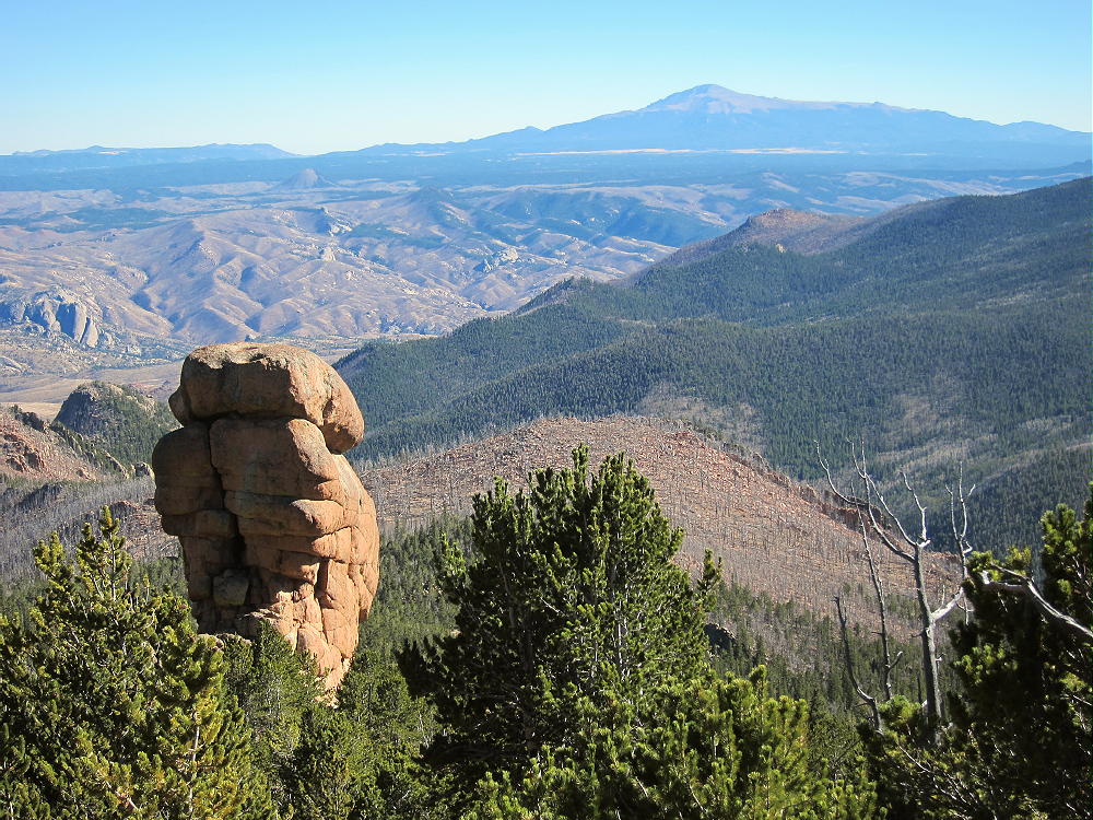
The peak may be a useful VHF/UHF site as well. It’s high enough to see parts of the Eastern Plains, Pikes Peak, and across South Park to the Collegiate Peaks.
Check this link for more info on the Lost Creek Wilderness.
Be aware of possible hunters in the fall – wear bright orange.
73
George
KX0R
 !! WARNING !! There are old mountaineers, and
bold mountaineers… there are no old-bold mountaineers.
Hiking and mountain climbing are potentially hazardous activities particularly in Colorado with its extreme elevations. I am not accepting responsibility for any death or injury resulting from activations based on my trip reports. Proper training, experience, and personal capability assessment is required – enjoy!
!! WARNING !! There are old mountaineers, and
bold mountaineers… there are no old-bold mountaineers.
Hiking and mountain climbing are potentially hazardous activities particularly in Colorado with its extreme elevations. I am not accepting responsibility for any death or injury resulting from activations based on my trip reports. Proper training, experience, and personal capability assessment is required – enjoy!