SOTA outings by KØMOS and contributors

Tag: golden gate canyon state park

  • WØC/FR-164 (Visitor Point) – 2896 m / 9501 ft

    W0C/FR-164 (Visitor Point)
    2896 m / 9501 ft
    Sep 26, 2013 First Activation
    Mar 28, 2014 Second Activation

    by KX0R

    Visitor Point is like a secret SOTA peak in Golden Gate Canyon State Park. This seldom-climbed summit is close to the Denver metro area. Although the mountain is partly surrounded by private land, the access and summit are in the State Park.
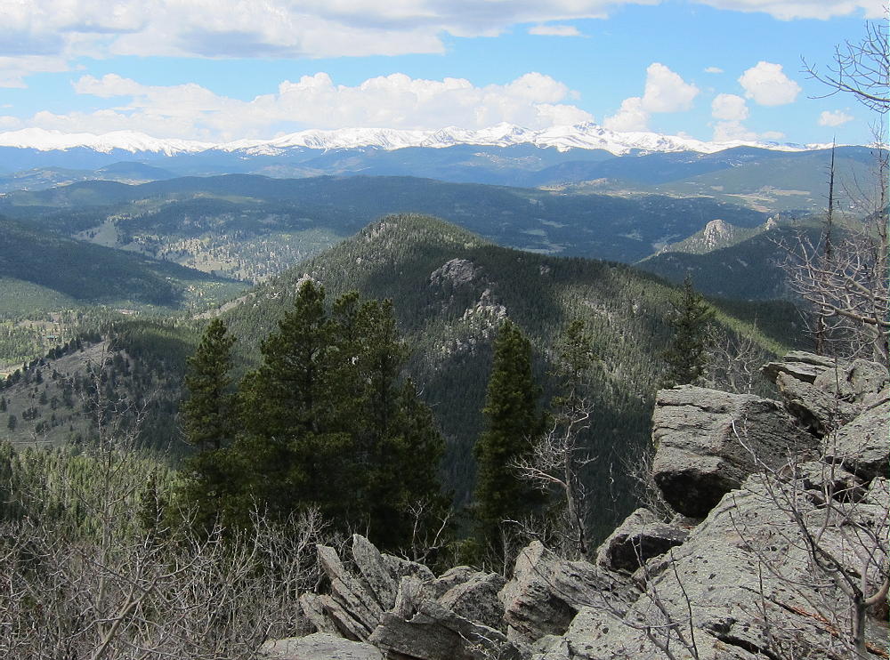
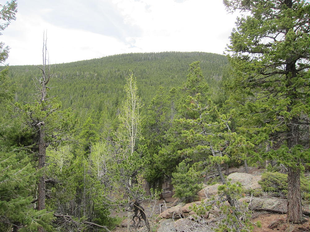
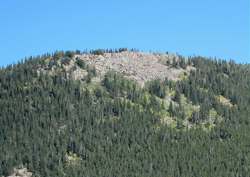
    Visitor Point from Centralia Mountain
    Visitor Point from Centralia Mountain

    Drive to Golden and head west up Golden Gate Canyon. The road is on the north side of Golden at a light on highway 93. It’s about 15 miles up curvy paved Road 70 to the State Park. About a mile before the Visitors Center, the road runs across a low pass, with Visitor Point above on the right. There is even a road there marked Golden Gate Drive, but it leads into a private development. Stay on the main highway, and drive north and down into the Ralston Creek drainage. At the bottom, right after the road crosses the creek, there is a signed junction, and the Visitor Center is just 100 yards to the right, next to the creek. There are some interesting exhibits in the building, as well as restrooms and helpful State Park people. At the Visitor Center you can buy a Park Pass, which you must display in order to park your car in the Park.

    Amazingly, there is no trail from the Visitor Center to Visitor Point, which stands 1300 vertical feet up to the southeast. Most of the route is off-trail, but the navigation is not difficult. A compass and topo map are required; a GPS with a map-set is useful here.

    Park at the Visitor Center and follow the Nature Trail / Bear Trail that heads east from the parking lot, along the south side of the creek.
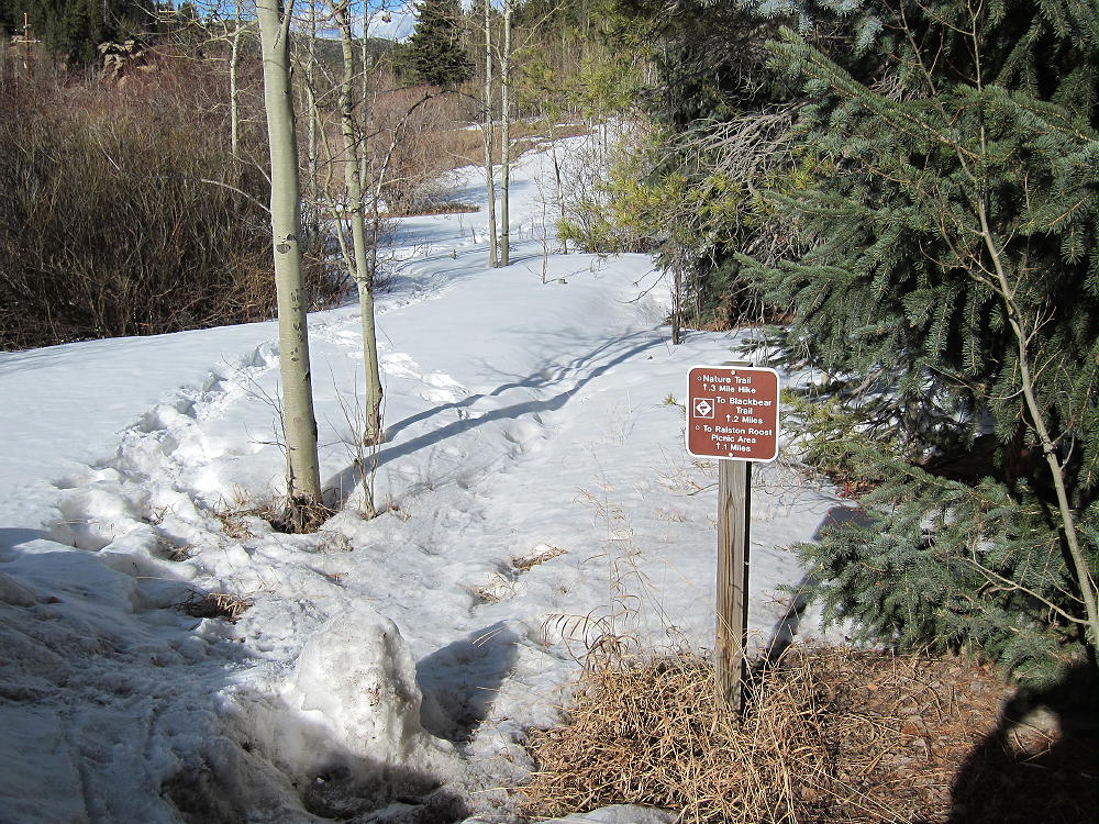
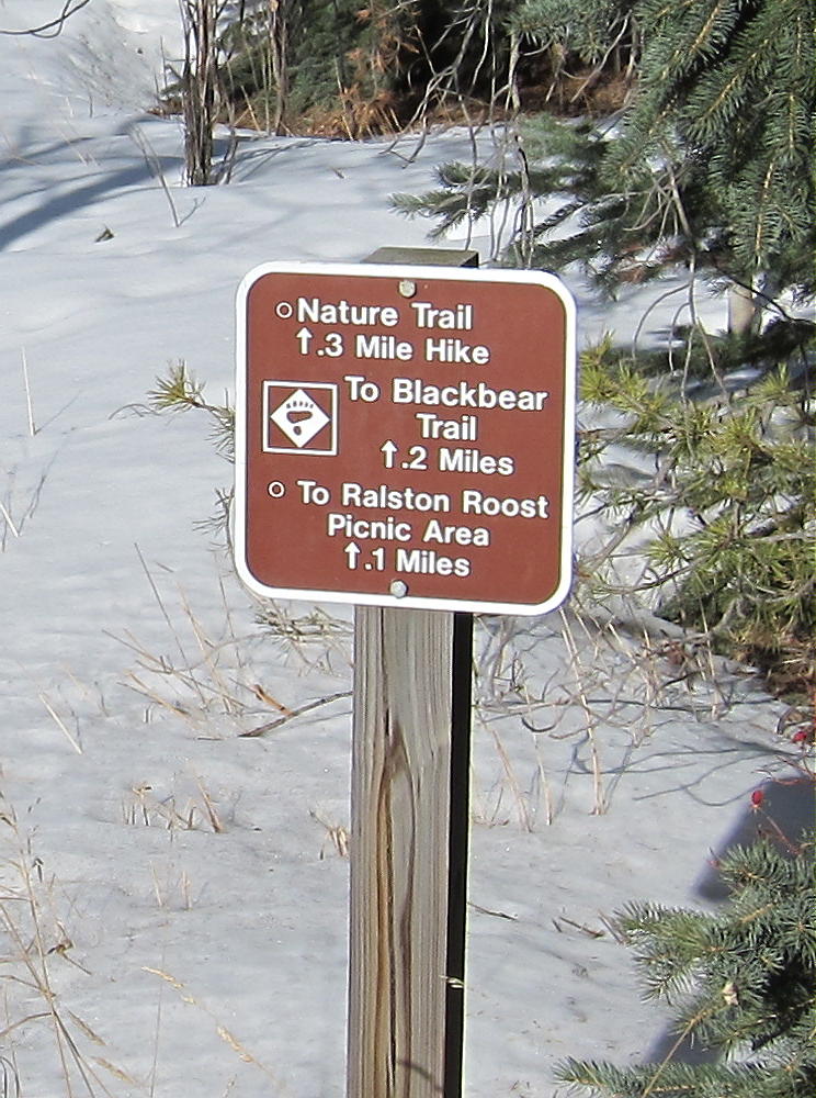
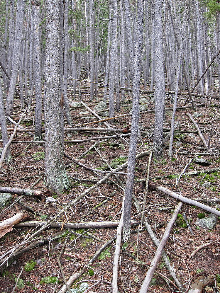
    After only about 100 yards, there is a marked junction. Turn right, follow the nature trail about 100 feet into a small draw, and head off the trail and uphill to the southeast. Climb the obvious ridge on the east side of the draw, and try to follow an old abandoned trail that leads south up the ridge for a short distance. There is no marked route to the summit, and most of the climb consists of picking your way up the north side of the mountain through a forest of lodge-pole pines and aspen trees. This is a “bushwhack trip”, except that there aren’t many bushes.
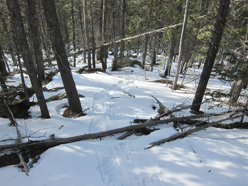
    Snowshoe Route up North Side of Visitor Point
    Snowshoe Route up North Side of Visitor Point

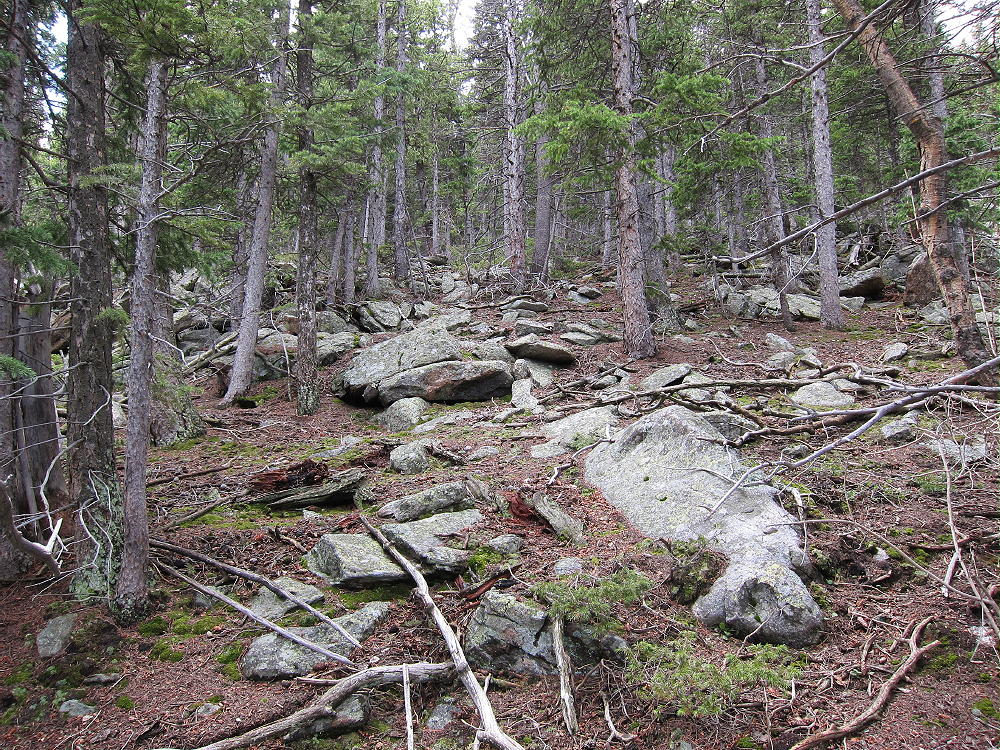
    There is a rocky steep section part way up, but it’s easy to switchback east and get around it. There are bits of game trails that provide useful routes here and there. Although the summit is always hidden by the forest, just head southeast and uphill and you’ll get there. There are no cliffs or talus – just a classic north-slope montane forest. In summer it’s a refreshing, shady morning hike, and in winter it’s a moderately-difficult off-trail snowshoe ascent. With deep powder it could be a tough route to do – but when I went up there in late March, the snow was crusty most of the way, and the 1 to 2 feet near the top covered up many logs and rocks, making for a very reasonable snowshoe trip.

    Visitor Point’s summit is a pleasant forested ridge about a hundred yards long. The actual high point is hard to identify – but operating in the Activation Zone, within 75 vertical feet of the top, is easy. A nice open area is available near the eastern end of the summit ridge, right below some rocks that may be the actual peak.
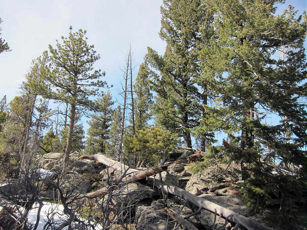
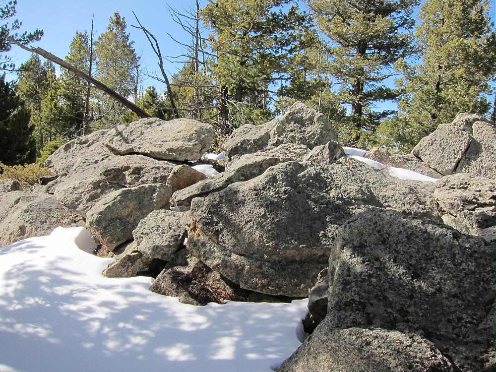
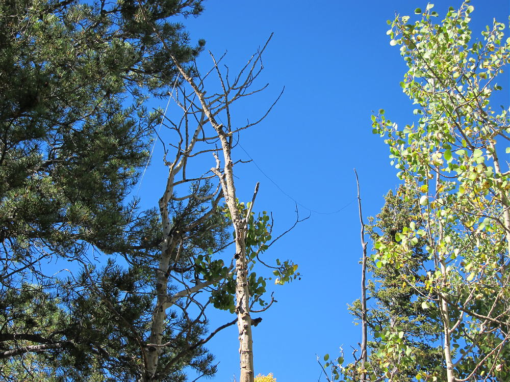
    There are sheltered, sunny spots among the rocks, with plenty of space to run a wire along the ridge, and some good trees are conveniently located.
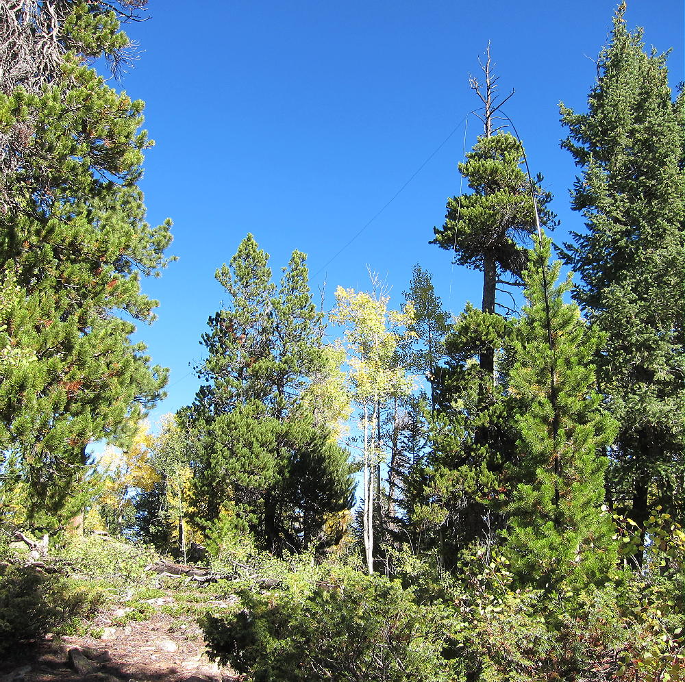
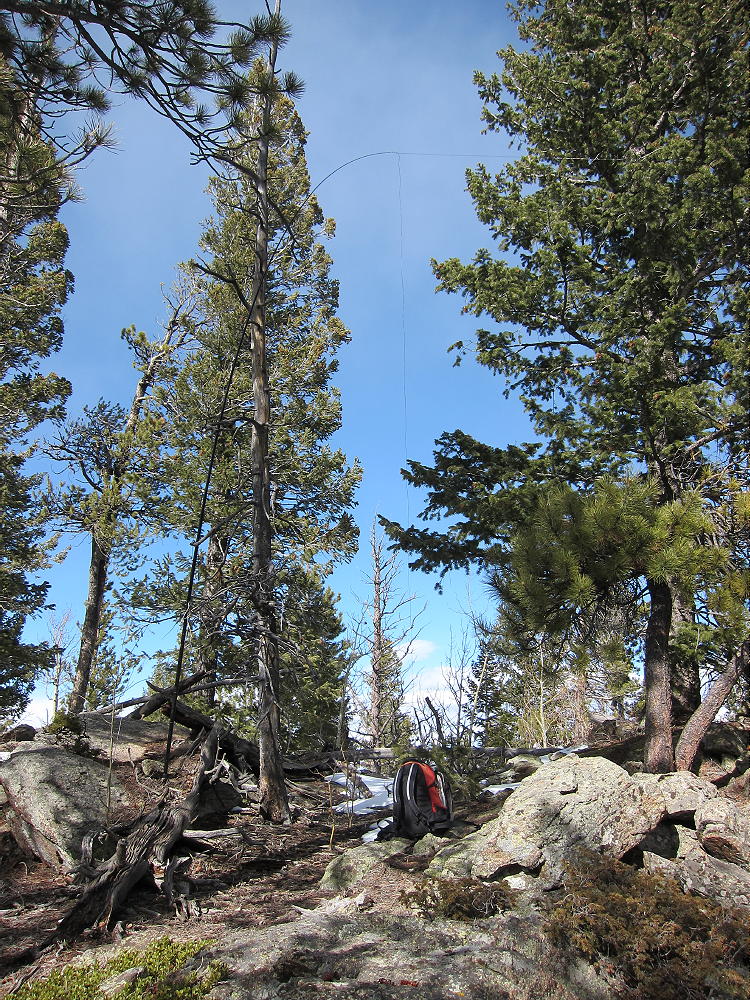
    This mountain is an excellent HF radio site, open in all directions; for VHF/UHF it’s probably OK, but higher peaks to the east probably reduce coverage of the Denver Metro Area and nearby communities.

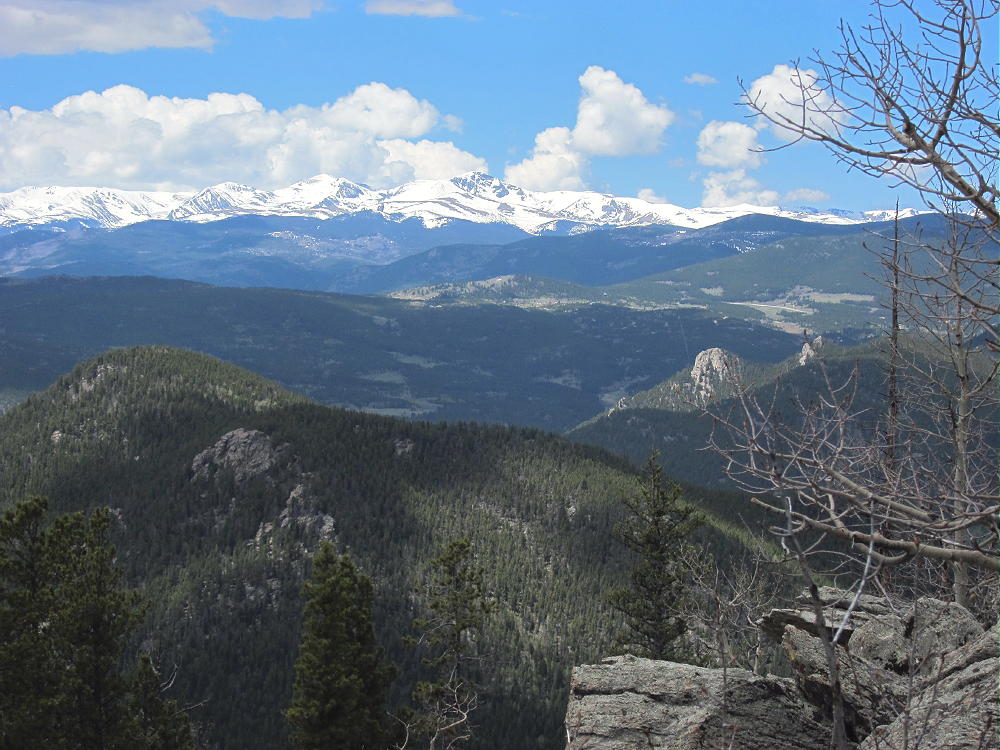
    The mountain falls away in most directions, and there’s a nice view south from the east end of the ridge. Centralia Mountain and Mount Tom stand higher to the east.
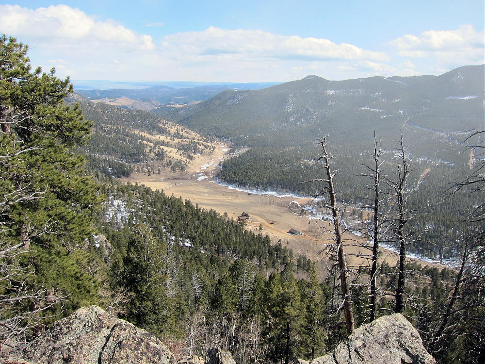
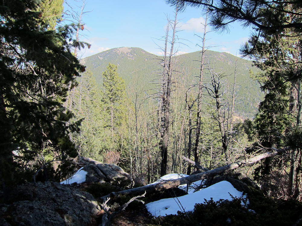
    Very few people climb this obscure summit – I saw no register, no jar, no fire ring, and no summit cairn. Visitor Point offers a special, private SOTA experience – the off-trail access is a small price to pay for an easy activation on such a pleasant summit!

    73

    George Carey Fuller
    KX0R


    ATTENTION !! WARNING !! There are old mountaineers, and bold mountaineers… there are no old-bold mountaineers. Hiking and mountain climbing are potentially hazardous activities particularly in Colorado with its extreme elevations. I am not accepting responsibility for any death or injury resulting from activations based on my trip reports. Proper training, experience, and personal capability assessment is required – enjoy!

  • WØC/FR-Ø49 (Centralia Mountain) – 2986 m / 9795 ft

    W0C/FR-049
    Centralia Mountain
    2986 M / 9795 FT
    Sep 26, 2013 First Activation
    May 26, 2014 Second Activation

    by KX0R

    Centralia Mountain is a prominent peak located just south of Golden Gate Canyon State Park west of Denver.

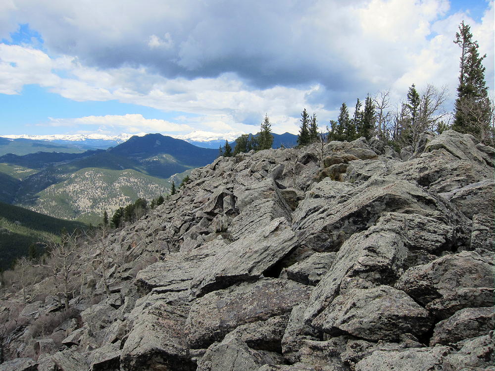
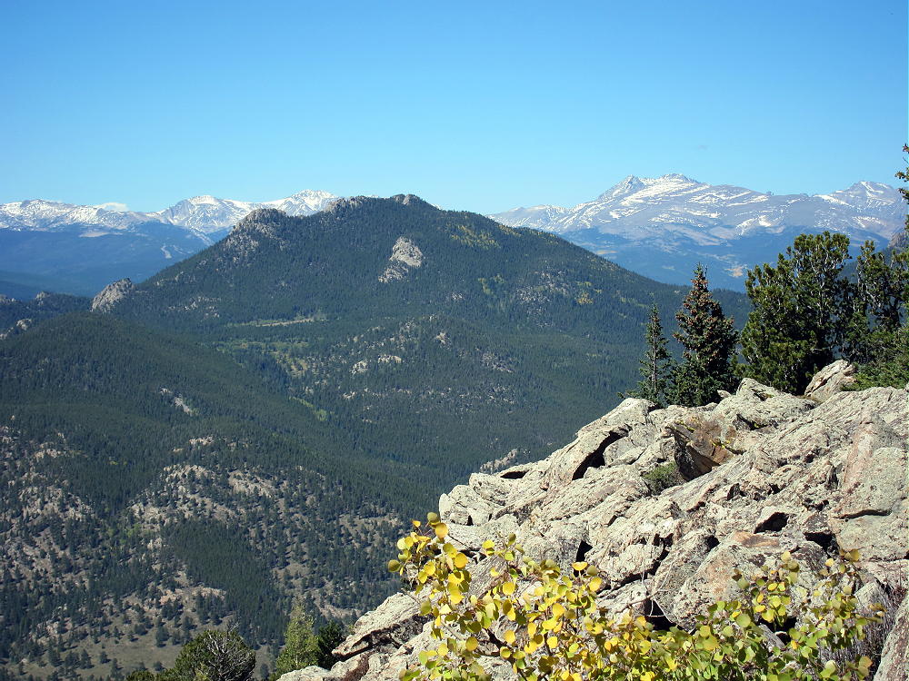
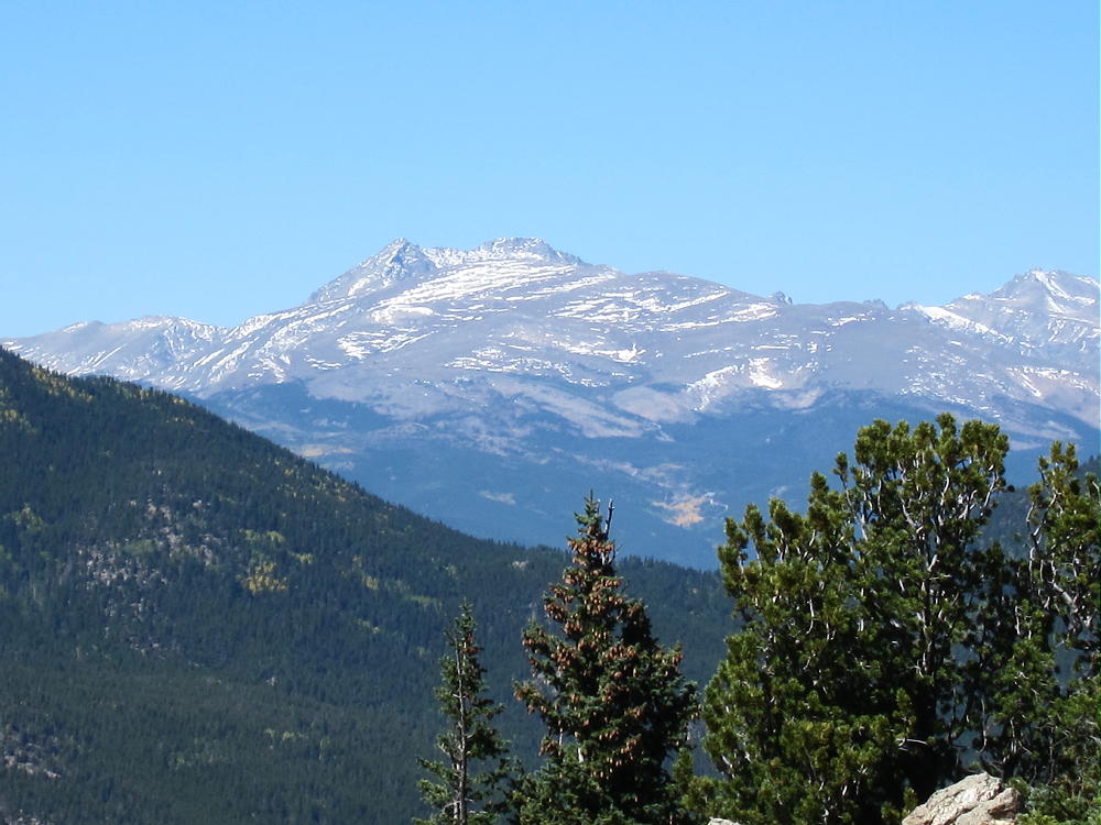
    Centralia from Visitor Point
    Centralia Mountain from Visitor Point

    There are several roads to the Park – start by driving to Golden. Follow Highway 93 to the north side of Golden, and turn west onto Road 70, Golden Gate Canyon. Follow this winding paved highway up into the mountains until it drops down into the Ralston Creek Drainage – there is a sign for the park and the Visitors Center. Unless you have a pass, buy one at the Visitors Center, and drive east along paved Road 57, which leads down Ralston Creek. After about 3 miles there is sign for the Nott Creek parking area – turn north and park immediately in the first parking lot. Be sure that your State Parks Pass is displayed in your vehicle’s front window. This is the best place to start your climb up Centralia.

    Centralia Mountain is partly surrounded by private land, and there are no designated trails to the summit. Climbing and activating this peak requires good navigation and route-finding skills. There are probably several reasonable ways to climb Centralia, but private land and limited access reduce the good options. I found a surprisingly efficient off-trail route up from Nott Creek.

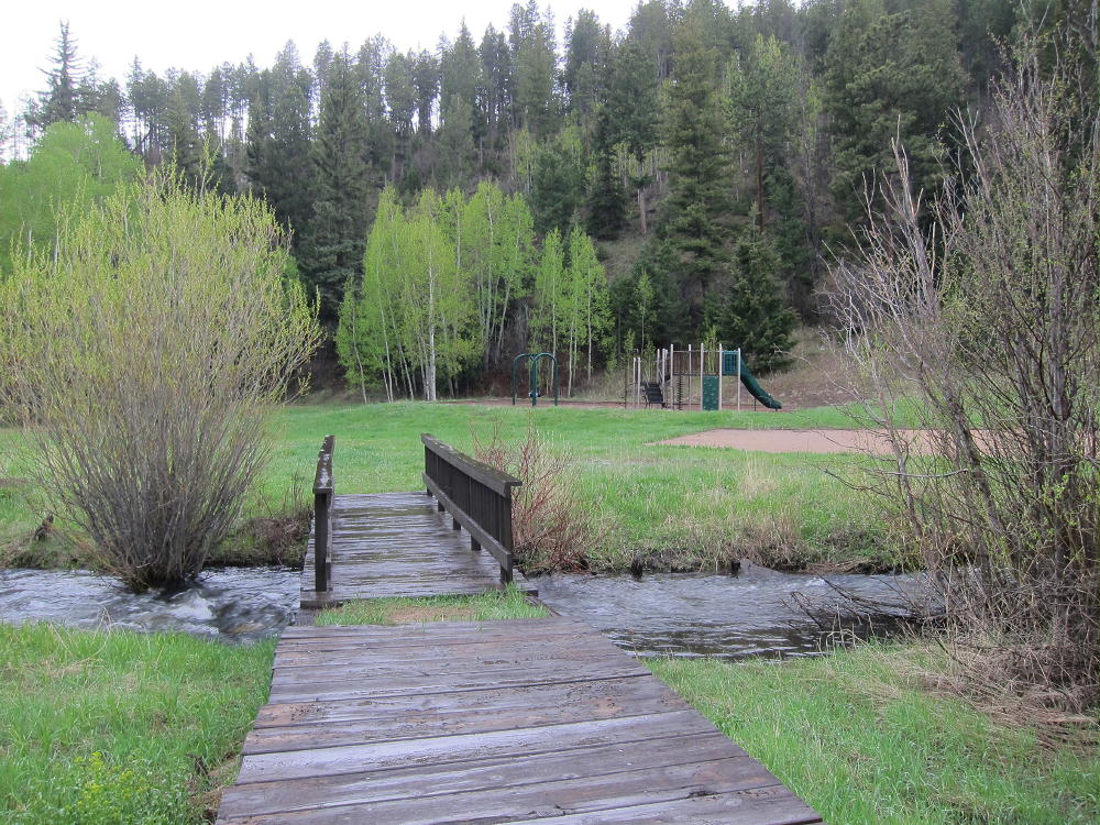
    Walk south from the parking area, cross the paved road, and then cross Ralston Creek on a foot-bridge west of the large barn.

    Bridge over Ralston Creek
    Bridge over Ralston Creek

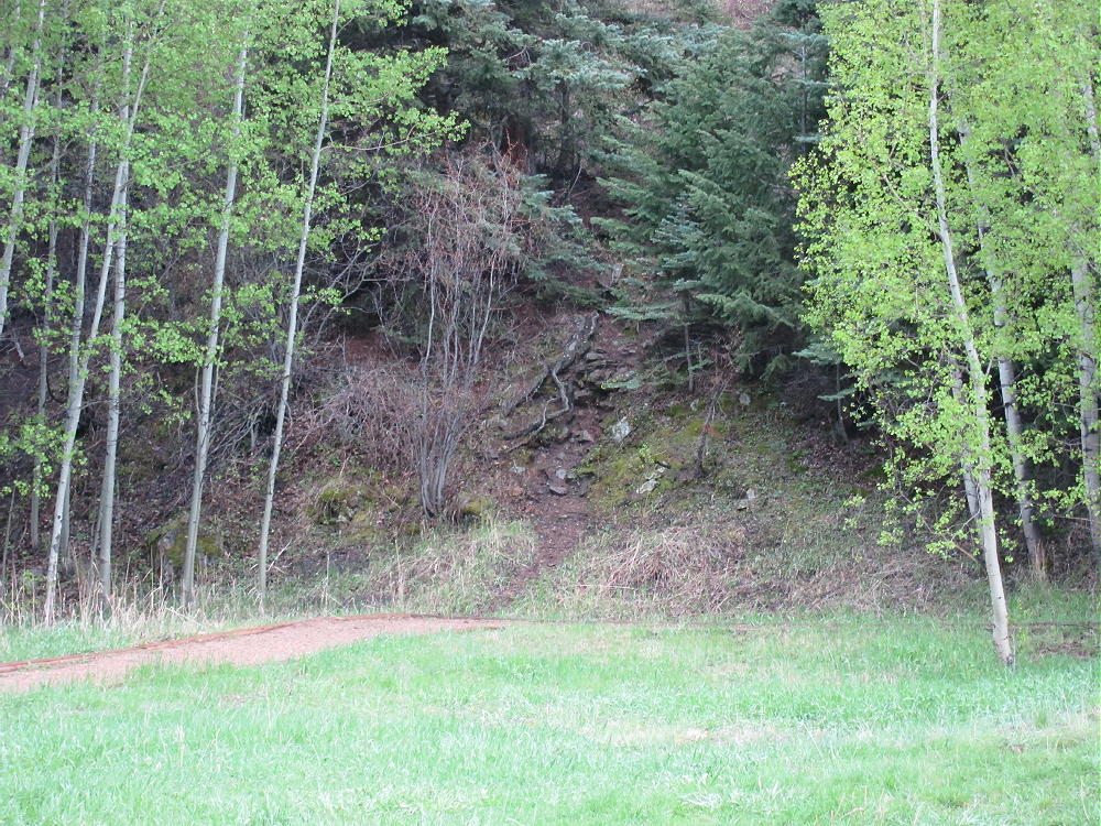
    Look carefully and find an informal path that leads up the steep ridge south of the children’s play area.

    Start of Trail at Playground
    Start of Trail at Playground

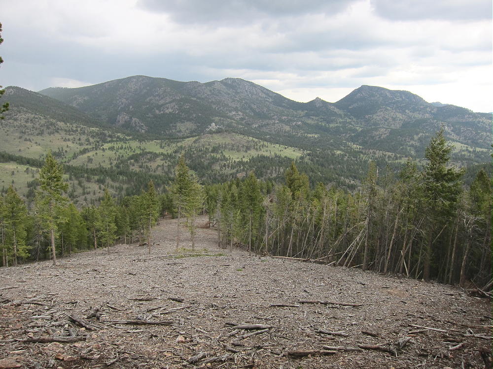
    Climb about 100 vertical feet up to the ridge top, head uphill and west, and ascend near the top of the ridge. Continue climbing for several hundred vertical feet, and reach a large area where the forest has been cleared, probably for wildfire prevention.

    Cleared Forest on Centralia looking NE to Blue and East Blue Mountains
    Cleared Forest on Centralia looking NE to Blue and East Blue Mountains

    Stay within the cleared area, and climb south to the highest point that has been cleared. This leads to an interesting ridge that is easy to climb.

    Centralia Ridge Ascent Route
    Centralia Ridge Ascent Route

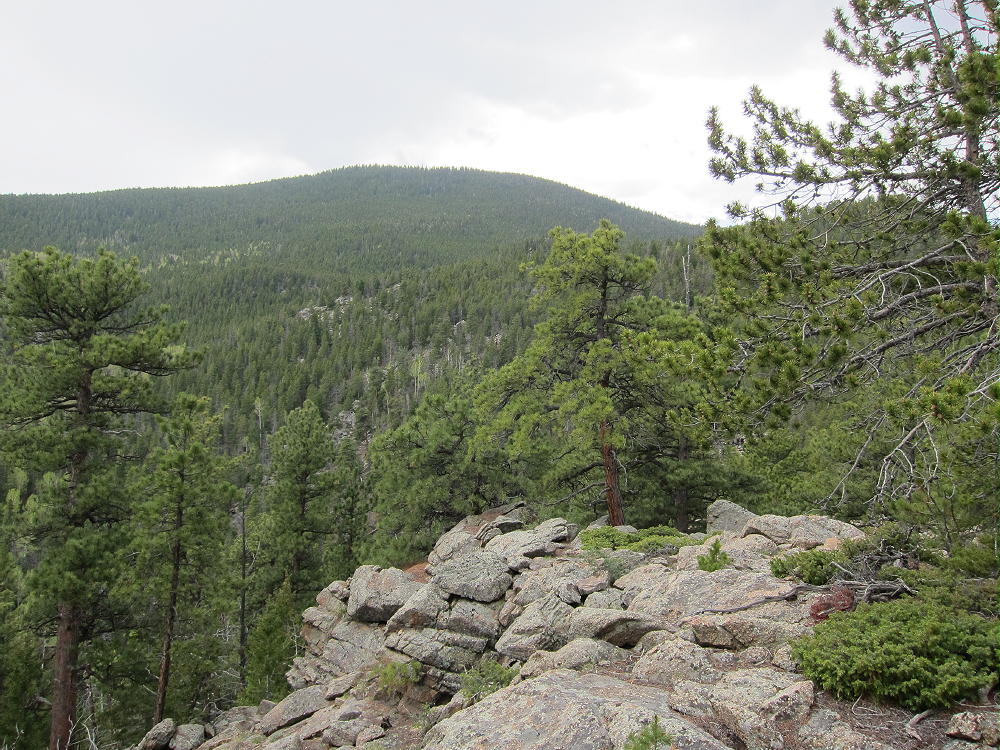
    There are several rocky points along the ridge that must be passed on one side or the other. The last of these “maxima” – near 8920 feet – has an exposed rocky knob from which you get a good view of the east side of Centralia Mountain. Take a good look, because visibility is somewhat limited in the forest. Backtrack down and pass the knob on the south side. The remaining part of the climb is forested, but the lower part is relatively open.

    Centralia NE Top Part
    Centralia NE Top Part

    The last thousand vertical feet up the east side of the mountain may be climbed directly. An ascending traverse heading southeast works well. Aim for a point several hundred feet southeast of the actual summit. If you aim for the summit, the slope is steep and covered with rocks that have come down from the top. The lichens on the rocks are slippery when wet. Heading southeast of the summit is more pleasant and avoids the rocky areas, and there is a natural route that goes right up toward the summit. There are useful game trails up there, and although there are some downed trees, most of them are easy to get over. This is an incredibly easy off-trail route, considering the length and the 2200 vertical feet of ascent required. A GPS is good for route-finding on the last steep section – the summit is not visible from down in the woods.

    It’s only about 2 miles and 2200 vertical feet to the summit of Centralia. I climbed it in 1-1/2 hours, when the woods were cool and damp, with hail from the previous day’s storm still on some of the slopes and near the summit. Don’t mess with this mountain, unless you’re OK with off-trail hiking and have the required level of fitness!

    The summit ridge is long and rocky, with a very steep slope on the west side.


    There is a nice flat spot southeast of the summit, within the Activation Zone, with several useful trees and a sheltered spot to operate from.

    The peak is very prominent, has low RF noise, and propagation is good in all directions. It should be a great site for VHF/UHF across most of the Denver Metro Area and beyond, as well as HF all over the world!

    Very few people visit this special summit. It’s a SOTA Classic!

    George Carey Fuller
    KX0R


    ATTENTION !! WARNING !! There are old mountaineers, and bold mountaineers… there are no old-bold mountaineers. Hiking and mountain climbing are potentially hazardous activities particularly in Colorado with its extreme elevations. I am not accepting responsibility for any death or injury resulting from activations based on my trip reports. Proper training, experience, and personal capability assessment is required – enjoy!