SOTA outings by KØMOS and contributors

Tag: Copeland Mountain

  • W0C/FR-014 (Copeland Mountain) – 4016 m / 13176 ft

    W0C/FR-014
    Copeland Mountain
    4016 m / 13176 ft
    First Activation
    Aug 6, 2015

    By KX0R

    Copeland Mountain stands prominently 1-1/2 mile east of the Continental Divide, in the southern part of Wild Basin.
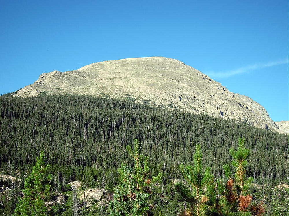
    Copeland Mountain
    Copeland Mountain

    Key Points:

    Rocky Mountain National Park
    • Accessible trailhead
    • Rugged alpine summit
    • Incredible views
    • Challenging hike
    • Infrequently climbed
    • No marked route
    • No trail to the top
    • Navigation and route-finding required
    • Fine HF site
    • 14 miles round-trip
    • 4675 vertical feet
    • Grade II
    • Class 2

    Copeland Mountain sees few visitors, but it offers a fine alpine SOTA activation. This high peak combines a challenging bushwhack hike with great scenery. Climbing to the top requires a sustained, steep hike in thin air. Only activators with off-trail experience and excellent fitness should attempt to climb Copeland. Since part of the route is far above tree-line, this expedition should be reserved for a day with good weather. The mountain is most accessible in summer and fall.

    The trailhead is at the Wild Basin Ranger Station. An easy dirt road leads two miles west from the Peak to Peak Highway, Route 7, to the trailhead. An entry fee or pass may be required to enter the National Park. The popular trailhead is not large, and it often fills before 8 AM on summer weekends. With the early start needed for Copeland, parking should not be a problem. An early start may avoid the entrance fee.

    From the trailhead, follow the signed, marked trails through Wild Basin to Ouzel Lake. The route leads west along the roaring North Saint Vrain Creek; across a bridge at about 1.5 miles; west to Calypso Cascades; northwest past Ouzel Falls; and west on the Bluebird Lake Trail to Ouzel Lake. Ouzel Lake is about 5 miles from the trailhead. Copeland Mountain looms high above the south side of the Lake.

    Ouzel Lake
    Ouzel Lake

    The hike to Ouzel Lake is just the introduction. While only two miles of the journey remain, more than 3000 vertical feet must be ascended from the Lake, and there is no real trail!

    To access the mountain, Ouzel Creek must be crossed. This is best done east of the lake outlet. When I was there, a convenient log-bridge was available about two hundred feet from the Lake. From the creek crossing, hike around the east side of beautiful Ouzel Lake. Climb up the forested drainage south of the Lake – follow the available game trails. Try to maintain a heading slightly east of south. The primary goal is to ascend the east slopes of Copeland far enough southeast to minimize the gradient of the climb. A second objective is to avoid the thickets and swampy parts of the densely-forested, north-facing drainage.

    The animals know where to go. Game trails lead through the forest and up the slopes; I was able to climb through the sub-alpine jungle by following the deer, elk, and moose. A couple of slide paths just below tree-line helped guide me higher. These steep slopes have been partly cleared of trees by avalanches. The game trails led me up to the slide paths.

    The most challenging part of the hike is the first half-mile or so up through the dense forest above Ouzel Lake. The worst problem is the lack of visibility – a GPS unit is useful for navigation, and for recording the track. The climb becomes easier above 10,600 feet; avoid thickets, and pick a route through the trees toward timberline. It’s easy to see where to go above the forest.  Soon wonderful views open up!
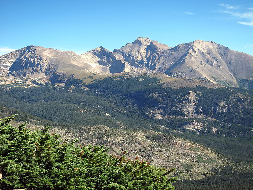
    Copeland Mountain View of Longs Peak
    View of Longs Peak from Copeland’s East Ridge

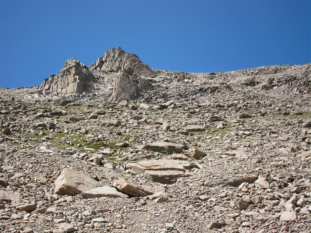
    The steep northeast ridge of Copeland is a mix of talus and tundra. I saw no marked route or cairns, but there are useful game trails and a few climbers’ paths. Climb southwest toward the summit. The route is steep, but there are almost no other problems; no scrambling is required. The climb up the alpine slope to the peak ascends about 2000 vertical feet in one mile – this is a real test! I thought it was more difficult to descend than to ascend.
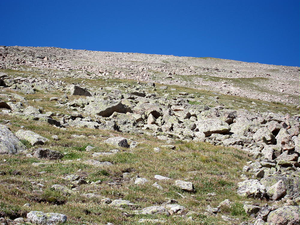
    Copeland Mountain East Ridge Route
    Copeland Mountain East Ridge Route

    Copeland Mountain location provides incredible views of all the high peaks of Wild Basin: Longs Peak, Mount Meeker, Pagoda Mountain, Chiefs Head, Mount Alice, Isolation Peak, Ogalalla Peak, and Saint Vrain Mountain.
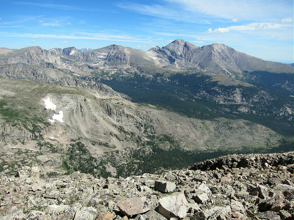
    Copeland Mountain Wild Basin View
    View North from Copeland Mountain across Wild Basin

    Several large lakes lie below Copeland. The entire area is heavily glaciated – this is some of the most rugged terrain in the National Park. The Indian Peaks Wilderness and its craggy alpine peaks are only a few miles to the south. Copeland is high enough to see over the Divide to the west. The Never Summer Range, Parkview Mountain, the Park Range, the Gore Range, and the Flat Tops are all visible from Copeland!
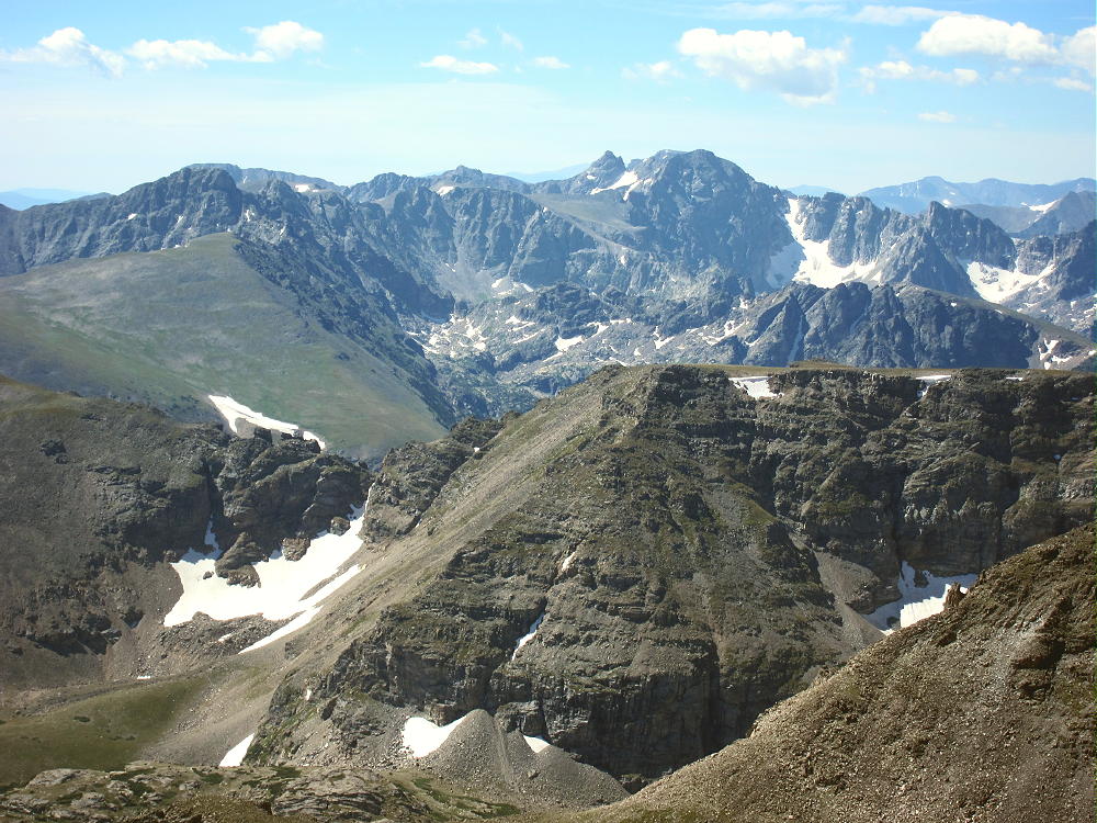
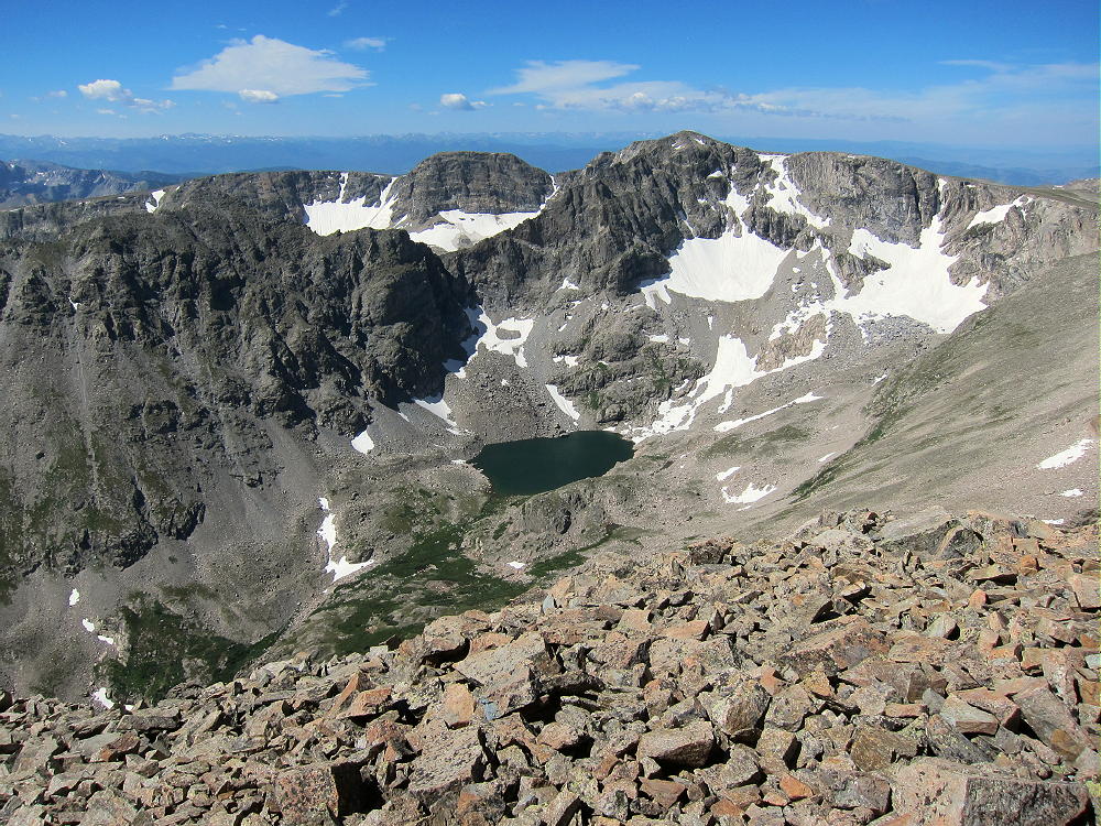
    Indian Peaks View from Copeland
    View of Indian Peaks from Copeland
    Copeland Mountain View SW
    Ogallala Peak and Cony Lake from Copeland Mountain

    I was surprised to find a large wind shelter built by climbers just west of the actual peak; however, it was so windy that I decided not to set up my activation there.
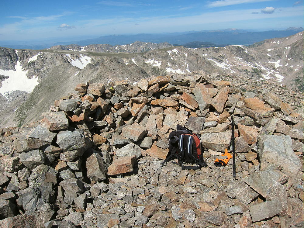
    Copeland Mountain Wind Shelter
    Copeland Mountain Wind Shelter

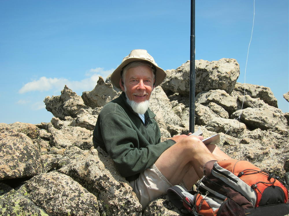
    I found a spot among some boulders east of the summit; this worked well. The large, rocky activation zone is relatively flat. There’s plenty of room for any kind of activation, but a pole is necessary to erect a wire antenna. It’s easy to set up and get on the air.
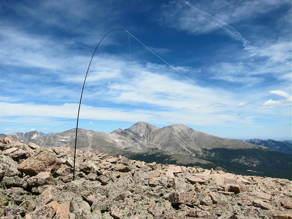
    Copeland Mountain Activation Antenna
    Copeland Mountain Activation Antenna

    Copeland is an almost perfect radio site. It stands far enough from other peaks that there’s little blockage to HF signals in any direction except north, where Longs Peak and its neighbors raise the horizon several degrees. The HF noise level is very low – there’s no development for miles. Copeland is probably a useful VHF/UHF site, because it looks out across a wide area of the eastern Plains, including parts of the Denver Metro area. The view west also includes some populated areas in the valleys across the Divide.

    I made 25 HF contacts on three bands from Copeland. It was a pleasure to operate from this wonderful high spot on a fine sunny day…never mind the wind!
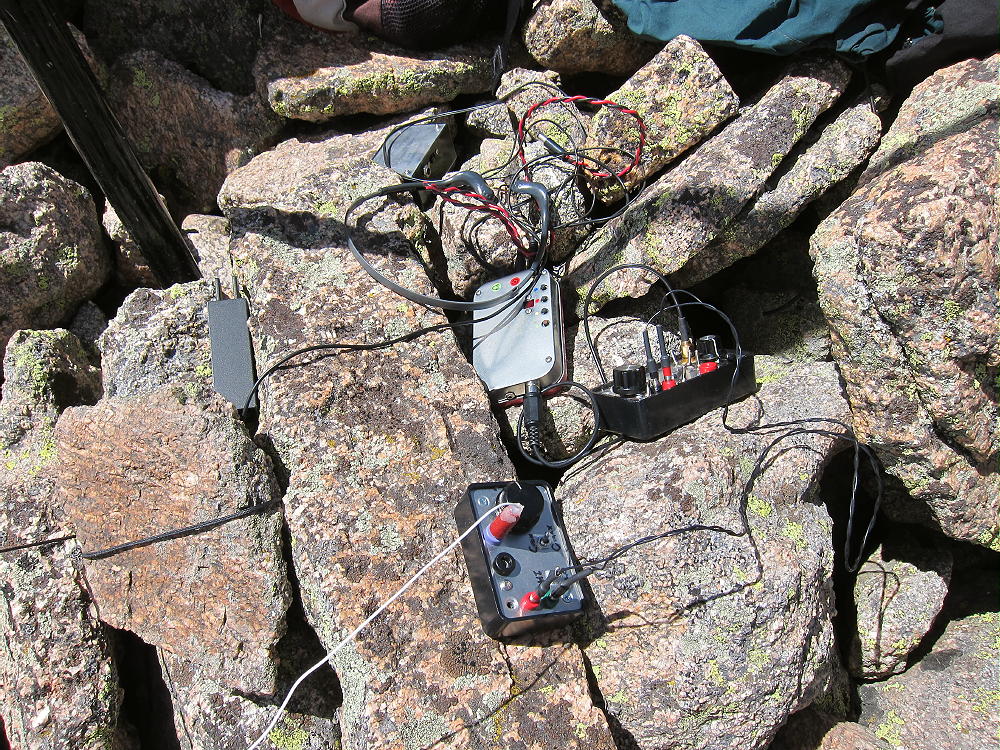
    Copeland Mountain Radio Gear
    Copeland Mountain Radio Gear

    I saw no one on the mountain. It still amazes me that such fantastic mountain paradises are accessible from our cities, yet sometimes I have an entire alpine summit to myself all day!

    As nice as Copeland Mountain was for my climb, it could be a deadly place in bad weather. It’s totally exposed to severe lightning storms, high winds, hail, and snow. Wild Basin and the Divide generate strong storms when humid systems come into the area; this mountain should be avoided except in dry, stable weather. It’s impossible to descend quickly!

    I dreaded the descent when I was on top, but it wasn’t so bad. It’s very steep, and care is required most of the way down to tree-line.
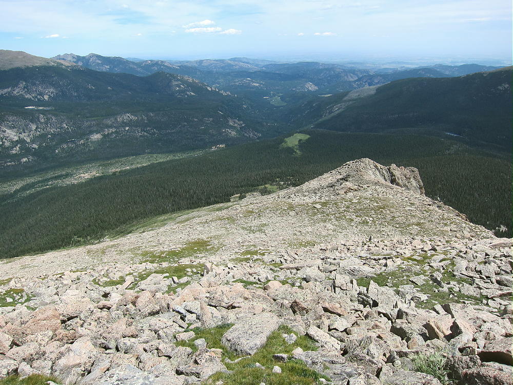
    Copeland Mountain East Ridge View Down
    View Down Copeland Mountain’s East Ridge

    The dense forest was easier to descend than to ascend – I used my GPS track, and the game trails were where I needed them! The swampy bogs were full of wildflowers in sunny spots.

    I started the hike at 6:20 AM, and I was on the summit at 10:41 AM. I stayed on top until 1:03 PM, and I returned to the parking lot at 5:34 PM. It took slightly longer to descend than to ascend!

    Copeland Mountain is one of the best SOTA peaks I’ve activated. It’s totally a SOTA Classic, with its pristine wilderness location, stunning views, a very challenging route, and an excellent activation zone. I recommend it only to activators who are prepared for the serious effort it requires. Copeland is best climbed in ideal summer or fall weather with lightweight gear.

    73

    George Carey Fuller
    KX0R
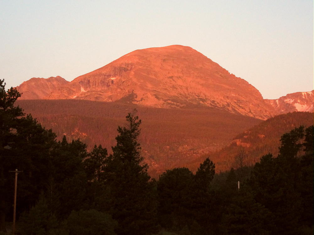
    Copeland Mountain Sunrise
    Copeland Mountain Sunrise
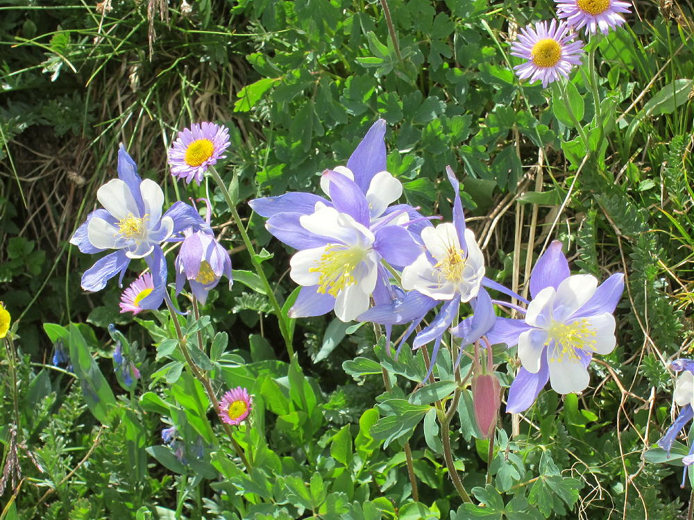
    Copeland Mountain Columbines
    Copeland Mountain Columbines

    ATTENTION !! WARNING !! There are old mountaineers, and bold mountaineers… there are no old-bold mountaineers. Hiking and mountain climbing are potentially hazardous activities particularly in Colorado with its extreme elevations. I am not accepting responsibility for any death or injury resulting from activations based on my trip reports. Proper training, experience, and personal capability assessment is required – enjoy!
  • W0C/FR-116 (Isolation Peak) – 3998 m / 13118 ft

    W0C/FR-116
    Isolation Peak
    3998 m – 13118 ft
    First Activation
    Aug 29, 2015

    Isolation Peak stands high on the Continental Divide, among huge glacial cirques at the western head of Wild Basin, in the alpine wilderness of Rocky Mountain National Park.

    • Long, challenging hike
    • High altitude
    • No marked route or trail to the summit
    • Considerable navigation and route-finding
    • Incredible alpine scenery
    • Fine HF summit
    • ~ 17 miles round trip
    • ~ 4620 vertical feet

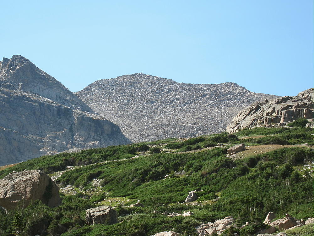
    Isolation Peak from Pipit Lake
    Isolation Peak from Pipit Lake


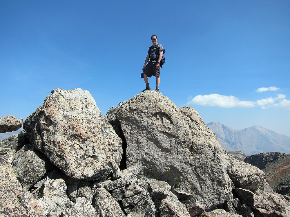
    Of all the SOTA peaks I have climbed, Isolation Peak is the most accurately named. This was one of my best activations! The hike was huge, everything went incredibly well, and I made 30 contacts from the summit. My son Tom hiked with me all the way, we had a good day, and it was a long one!

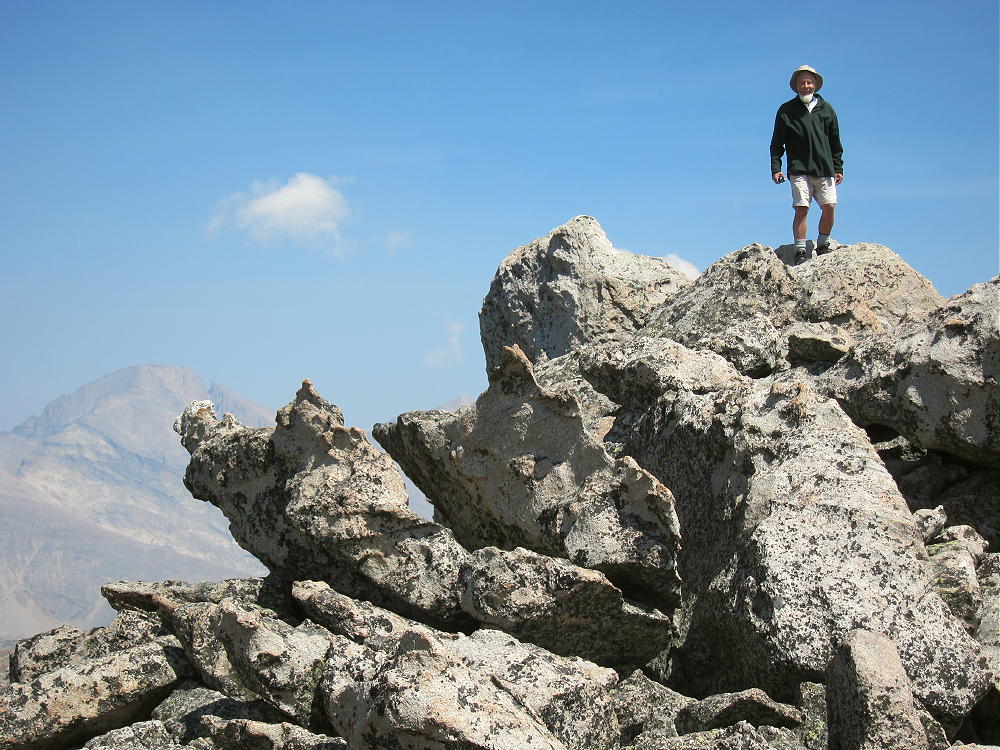
    Tom Fuller on Isolation Peak Summit
    Tom Fuller on Isolation Peak Summit


    I climbed Isolation Peak back in 1971, when I was much younger. It was the longest and most difficult climb I had done at that time. I had the USGS topo map “Isolation Peak”, and on a dry day in September, I found my way to the top – it was incredible! I was a little late getting to the summit back then, and I still remember marching out the last couple of miles in the twilight as fast as I could walk, with very sore feet.

    When Tom and I got to the trailhead early in the morning, we were ready for the expedition. The hike is almost 17 miles round trip, from the Wild Basin Ranger Station at about 8500 feet, to the summit at 13118 feet, for a vertical gain of 4618 feet. The first part of the trip is on a good, popular trail up North Saint Vrain Creek and Ouzel Creek to Bluebird Lake at about 11,000 feet. We started hiking at 6:26 AM, and we were at Bluebird Lake by 9:30; that was the easy part. Isolation Peak came into view, over 2000 feet above us, and almost 2 miles away. We crossed at the lake outlet, and then we picked our way around the rocky north shore of the lake and up the slopes toward Pipit Lake. There’s no marked route, but there are a few cairns. Not many people go up beyond Bluebird.

    We followed the north side of the beautiful creek up the drainage above Bluebird, through the alpine wilderness. We were alone. We ascended 600 vertical feet up the open slopes north of scenic Pipit Lake; at 10:42, we were standing at Isolation Lake, in its rocky cirque at 12,000 feet. The Peak stood silently in the sun, over 1100 feet above us.

    Isolation Peak South Side
    Isolation Peak South Side


    After a short break to pump water, we climbed a steep slope above the west side of Isolation Lake; we continued up the rocks and tundra to the south shoulder of Isolation at 12,800 feet. It’s mostly all rocks after that – up the south ridge and then to the summit. Tom led around to the west side as we approached the top – that worked OK. At 11:43 we were next to the summit block at the top – it took 5 hours and 17 minutes for the entire ascent. We were both pleased with our climb!

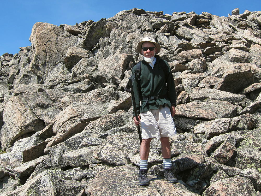
    KX0R near Isolation Peak Summit
    KX0R near Isolation Peak Summit
    KX0R on Isolation Peak Summit
    KX0R on Isolation Peak Summit


    The weather was perfect, and we stayed on the summit for two hours. Tom climbed the summit block, we took pictures, ate food, drank water, and marveled at what we could see from the high peak. I got busy and set up my 20-foot Black Widow pole, connected up the rig, and got on the air. It was already a race against the clock!

    I was on by 1821Z – 12:21 MDT – calling CQ on 15M CW. I made just one contact, so I went to 30M and ran through 13 stations in 12 minutes. Then I went to 20M CW and ran through 16 stations in 14 minutes. I would have enjoyed operating on more bands, but our time was limited. I logged 30 Q’s, including an S2S with W6AH on W6/CT-009, in just over 40 minutes – that would have to do. There certainly was no problem getting contacts up there!

    KX0R First Activation of Isolation Peak
    KX0R First Activation of Isolation Peak


    The summit of Isolation Peak is a pile of large boulders on a long, narrow, east-west ridge. The activation zone has plenty of room to put up an HF antenna; I set up in a flat area among large rocks, just west of the summit block. This was a comfortable spot in the sun! The RF noise was very low – there’s no development for miles – and there were no storms in the area. There was only a breeze, and activating Isolation was almost an ideal alpine SOTA experience. Experience and light-weight gear were essential to activating such a remote peak and making it back to the trailhead at a reasonable time.

    Isolation Peak View NW
    Isolation Peak View NW
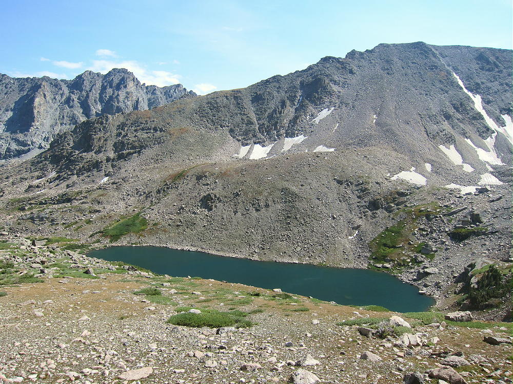
    Pipit Lake below Isolation Peak
    Pipit Lake below Isolation Peak


    We headed down from Isolation at about 1:43, picking our way down the rocky south ridge; we wasted little time on the long trip down the valleys. We reached the parking lot at 7:20 PM MDT; our descent took 5 hours and 37 minutes. We were on the summit for two hours – a long time for such a peak; but we were on the trail for about 10.9 hours. The average speed for the 17 miles on the trail was about 1.56 mph, including all breaks and stops. While we were generally hiking about 2.0 to 2.5 miles per hour on the trail, sometimes even faster, we really slowed down off-trail. We averaged less than 1 mph in the steep rocks and thin air above 12,000 feet.

    We made no errors – what a fine day!

    I don’t recommend Isolation Peak, or similar wilderness peaks with long hikes and lots of vertical distance, for most SOTA activators. Almost everything has to go right, or such a trip can turn into a disaster. There’s very little margin for error!

    Reasonably careful preparation helps control risks related to navigation and weather. Having established routines and familiar gear are essential. Taking too much equipment is as bad as not having enough, especially when the air is thin. Lots of experience is critical, but sometimes it creates a false sense of security.

    On the right day, at the right time, the alpine wilderness can be lots of fun. Add a good SOTA activation on a high summit, and a rich, intense experience is possible.

    Isolation Peak certainly is a SOTA Classic – but this summit is right for a small minority of athletic operators, and only on a limited number of days with safe weather. Most of the high, remote peaks of Rocky Mountain Park and the Indian Peaks are in the same class. There are listed SOTA peaks in this region that are much more difficult than Isolation, and some of them may never be activated!

    73

    George Carey Fuller
    KX0R

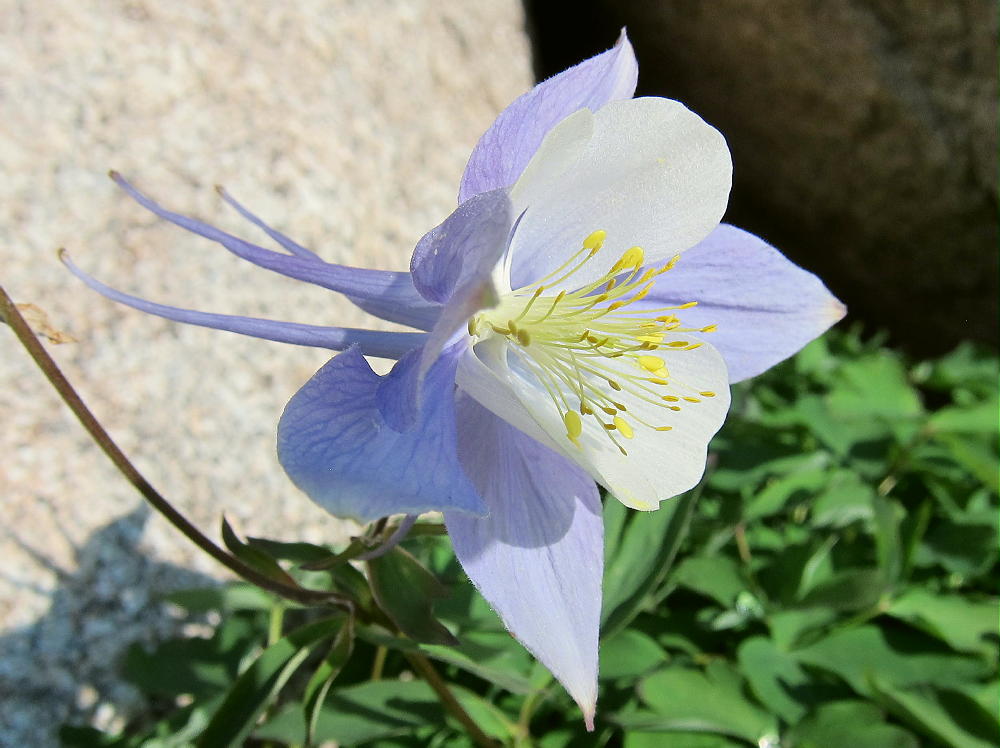
    Columbine near Isolation Lake
    Columbine near Isolation Lake

    ATTENTION !! WARNING !! There are old mountaineers, and bold mountaineers… there are no old-bold mountaineers. Hiking and mountain climbing are potentially hazardous activities particularly in Colorado with its extreme elevations. I am not accepting responsibility for any death or injury resulting from activations based on my trip reports. Proper training, experience, and personal capability assessment is required – enjoy!