SOTA outings by KØMOS and contributors

Tag: Continental Divide

  • W0C/PR-019 (Bald Mountain) – 4171 m / 13,684 ft

    W0C/PR-019
    Bald Mountain
    4171 m / 13,684 ft
    Sep 19, 2016

    By KX0R

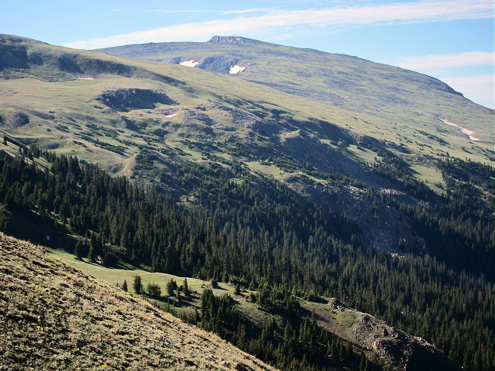
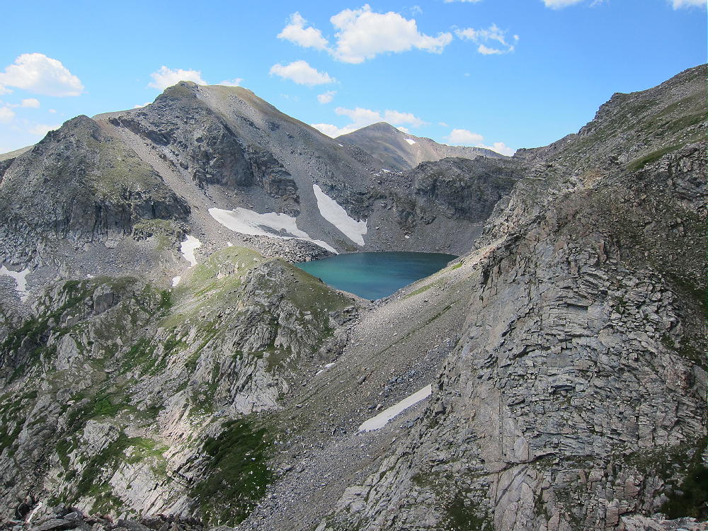
    Bald Mountain is a challenging, exciting, alpine summit near Boreas Pass, south of Breckenridge.

    Key Points:

    White River National Forest
    • Challenging high altitude hike
    • Marked trail part way
    • Ridge route partly on the Continental Divide
    • No marked trail to the summit
    • Superb alpine scenery
    • Excellent HF site
    • ~ 6.5 miles round-trip
    • ~ 2700 vertical feet total
    SOTA Classic!

    Driving Directions:

    • Drive west on Highway 285 and cross Kenosha Pass
    • Continue west on Highway 285 about 10 miles
    • Turn north on CR 33 and drive about ½ mile to Como
    • Pass through Como and drive up CR 33 about 9 miles to Boreas Pass at 11482 feet
    • The route follows a historic narrow gage rail line and continues all the way across to Breckenridge
    • CR 33 is an OK unpaved road, with several rough, rocky sections, but most cars can make the trip along the railway roadbed
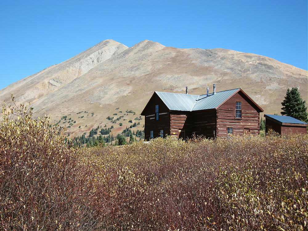
    • Park off the road at Boreas Pass, near the old Section House
    • This is the trailhead

    The Hike and Climb:

    • Google Maps shows none of the hiking trails near Boreas Pass
    • You need a detailed topo map to navigate the area
    • GPS is very useful up there
    • Follow the marked Black Powder Pass Trail as it leads north of the Section House along a water ditch
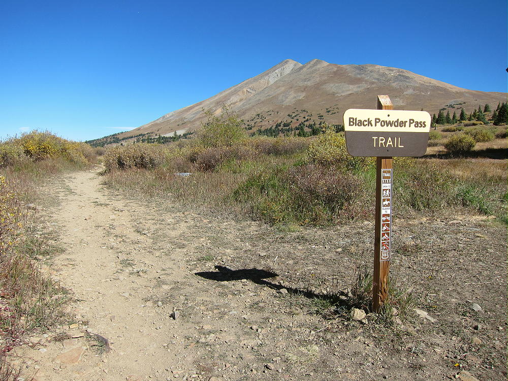

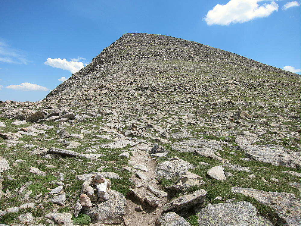
    • The pleasant trail heads northeast up a gulch and climbs to Black Powder Pass at about 12,160 feet.
    • Leave the trail and climb north up the ridge from the Pass.
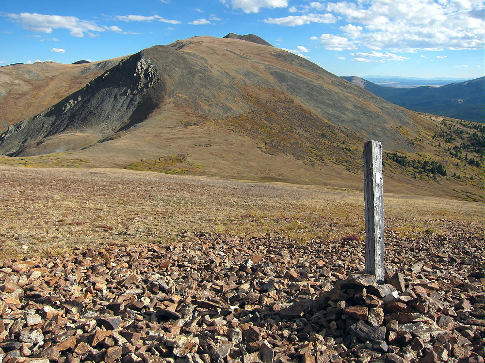
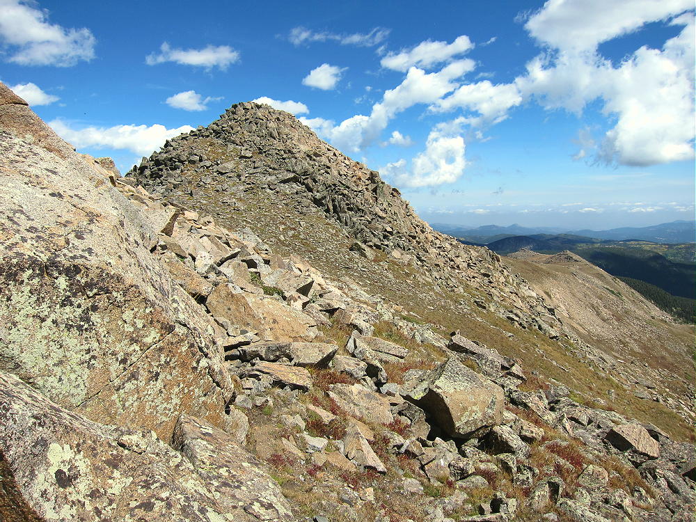
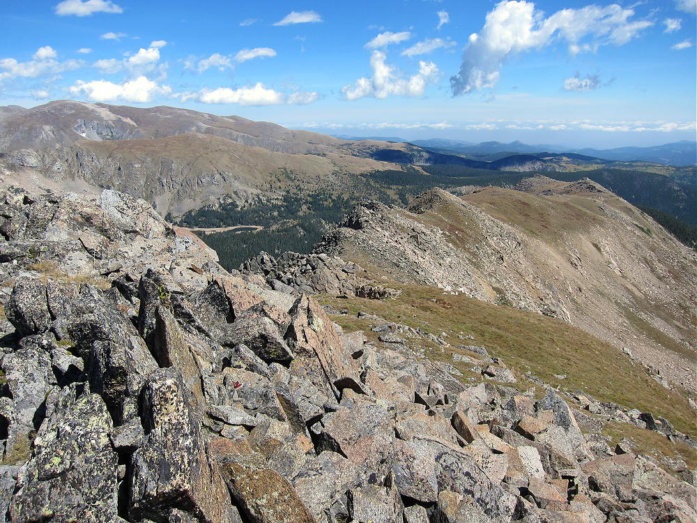
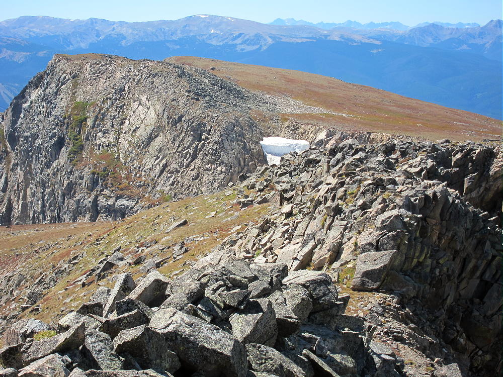
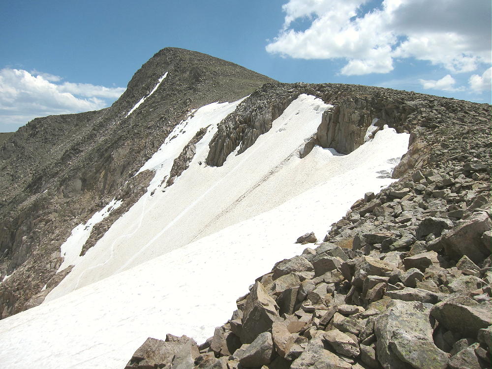
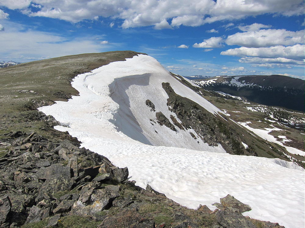
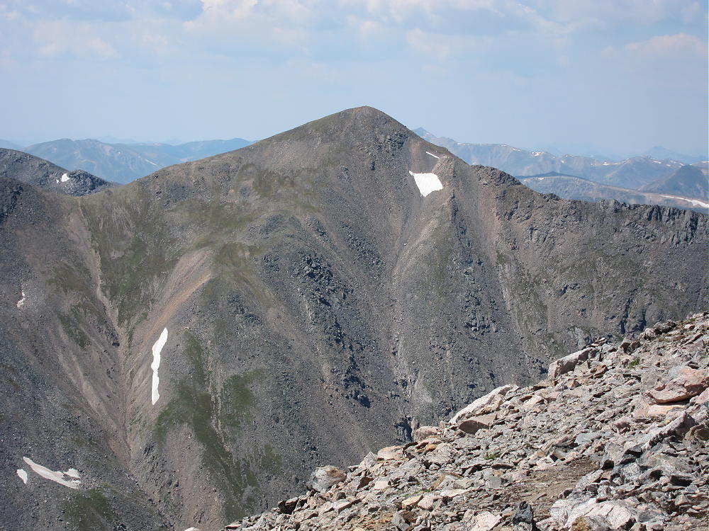
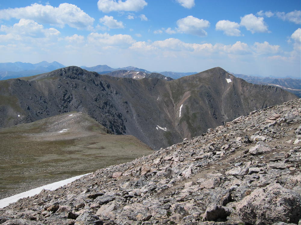
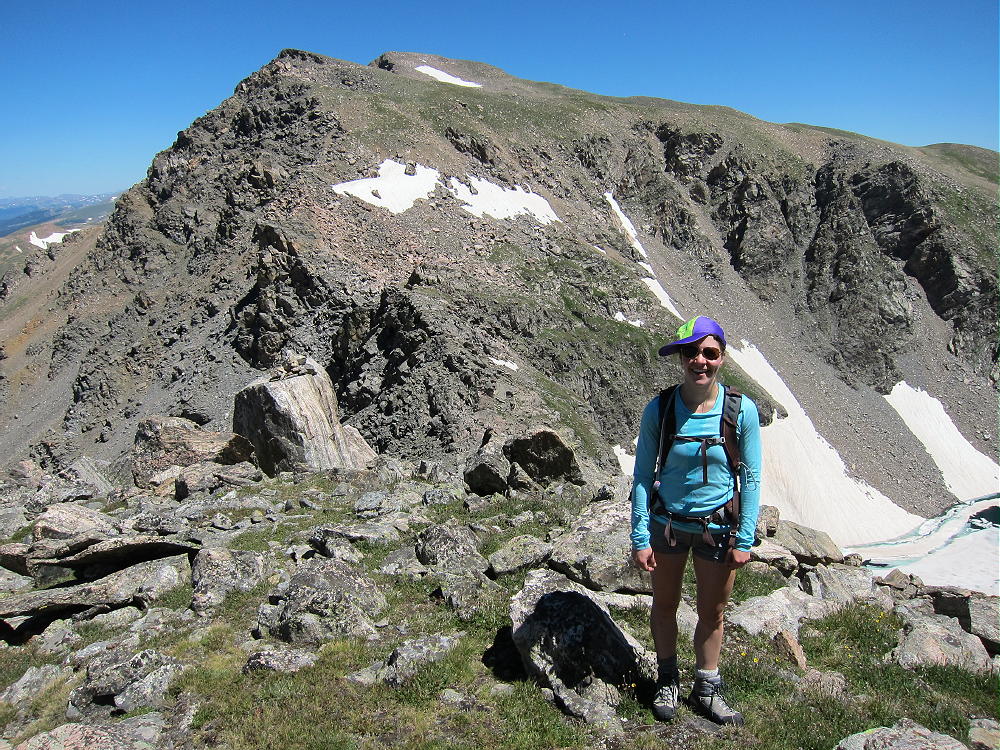
    • Continue climbing generally northwest along the rocky ridge for almost 2 miles, across several sub-peaks, and climb up to the alpine summit.
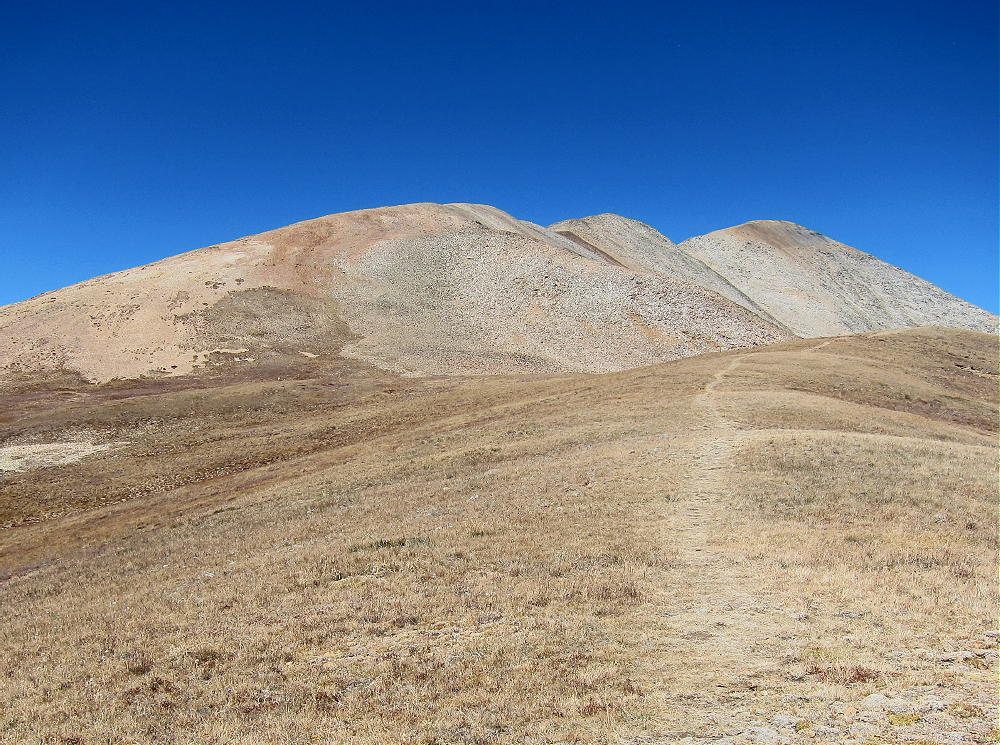
    • The actual SOTA summit is the north peak, but the highest of the southern sub-peaks is almost the same elevation; be sure you traverse the entire rocky ridge and activate the SOTA peak.
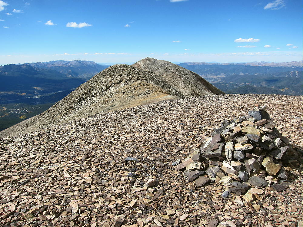

    • This is not an easy 13-er with a pleasant trail up through grassy tundra, etc. It’s a serious mountain, and you have to watch your steps and be careful!

    Additional Details:

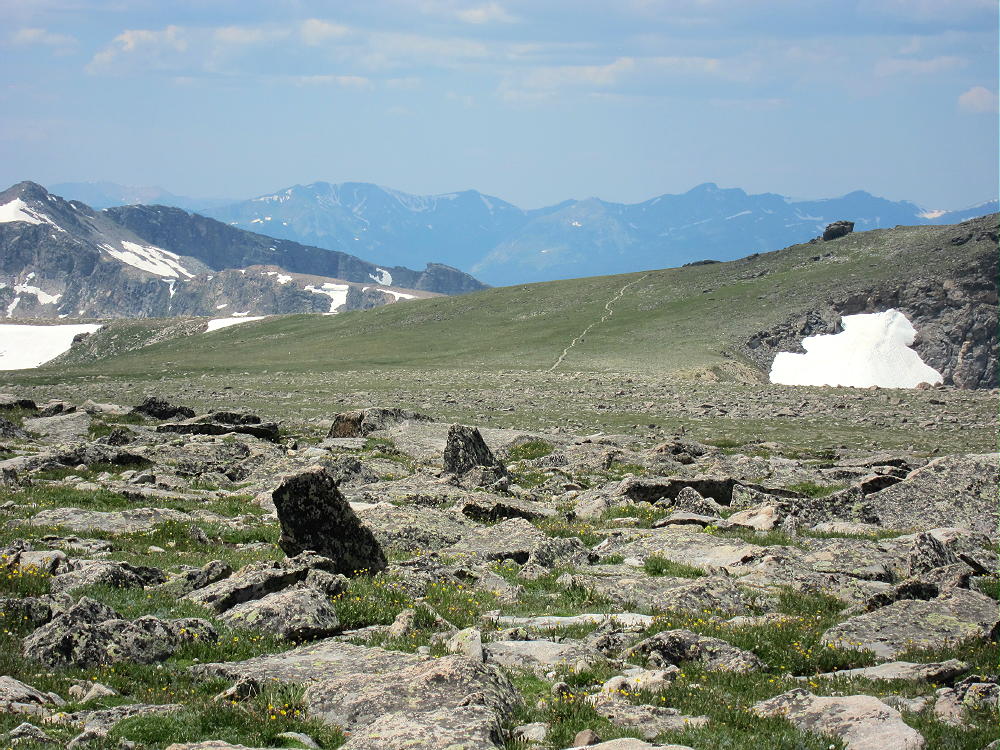
    Black Powder Pass is a nice tourist destination, with fine views off both sides. I saw a herd of mountain goats there.

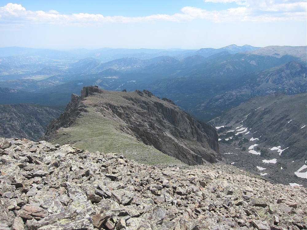
    Some route-finding is required along the high ridge to the summit. There are some cairns, and a climbers trail runs along much of the ridge; however, in some spots you may have to ascend talus or climb over boulders to get over the sub-peaks. The entire route need not exceed class 2, but you may find yourself doing a few simple class-3 moves, just because it’s a big mountain with many choices.
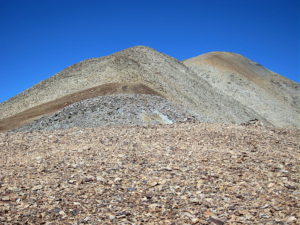
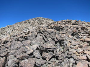
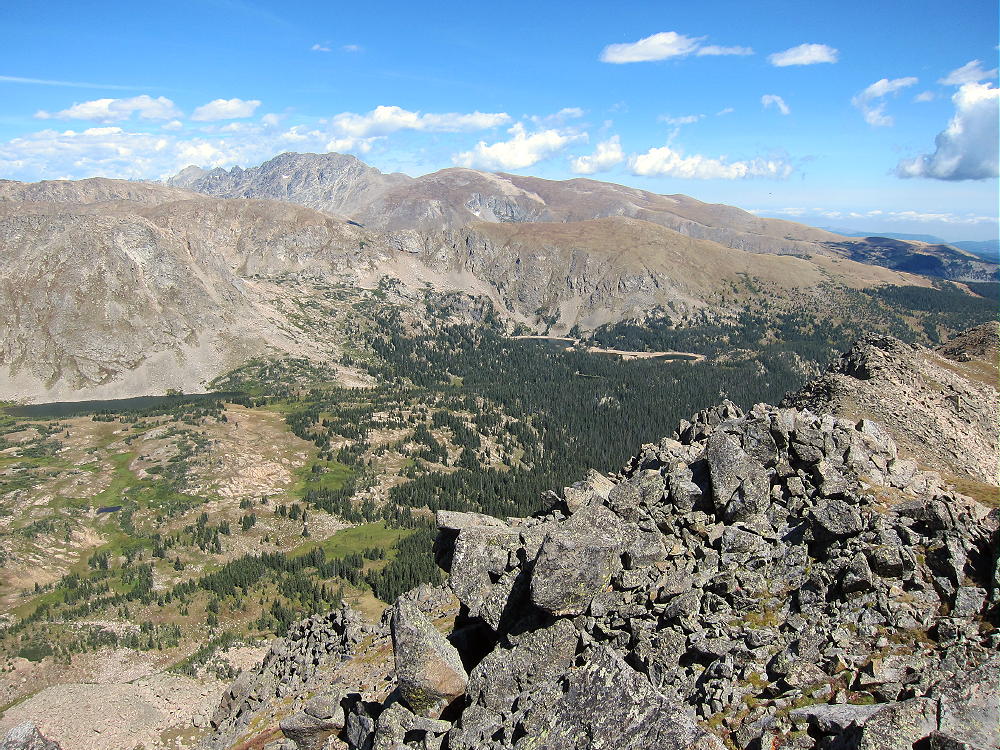
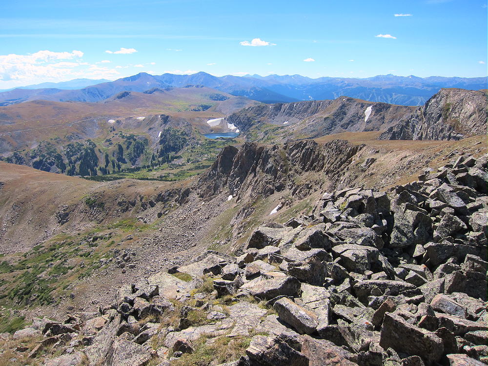
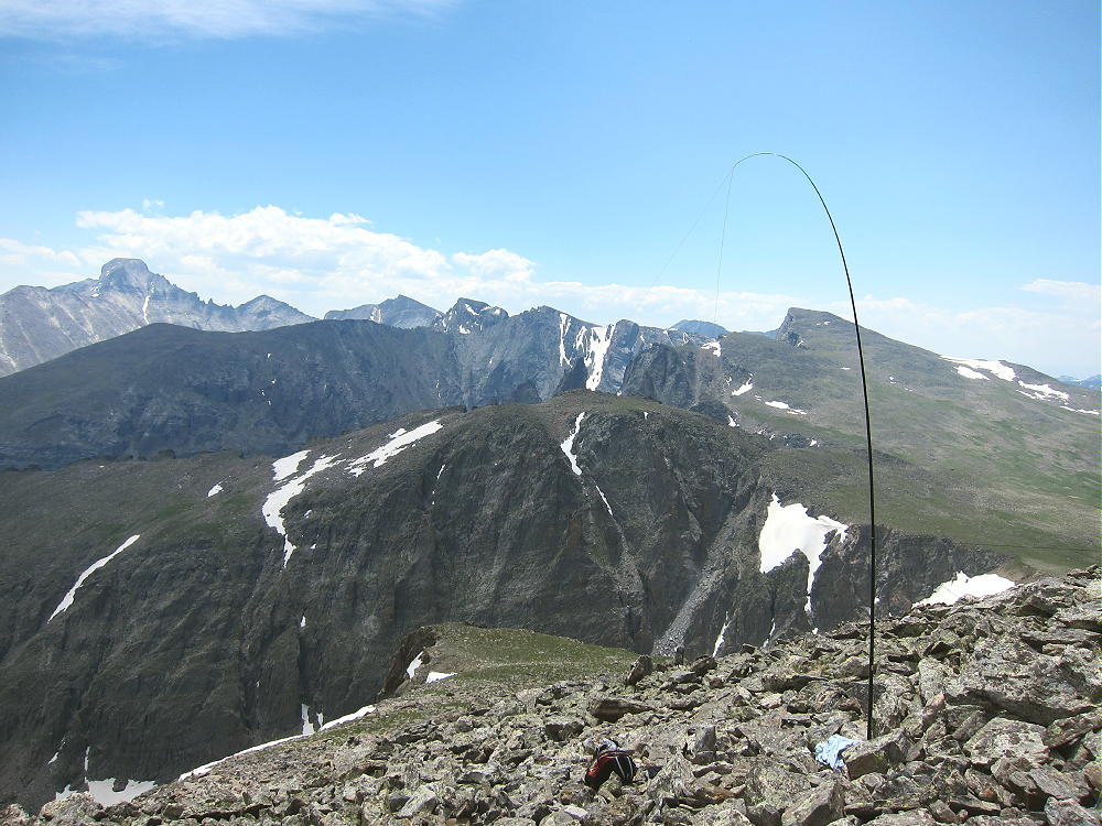
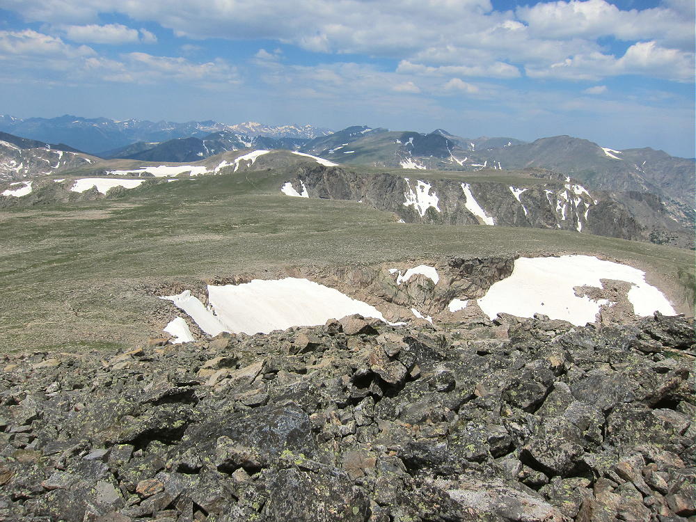
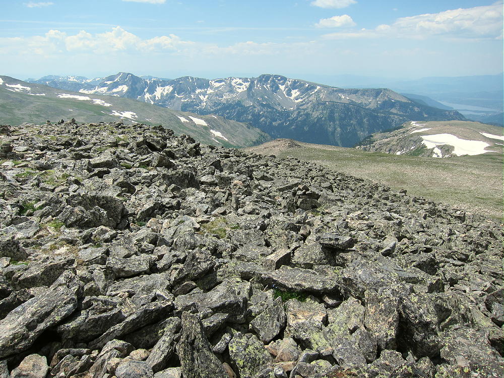
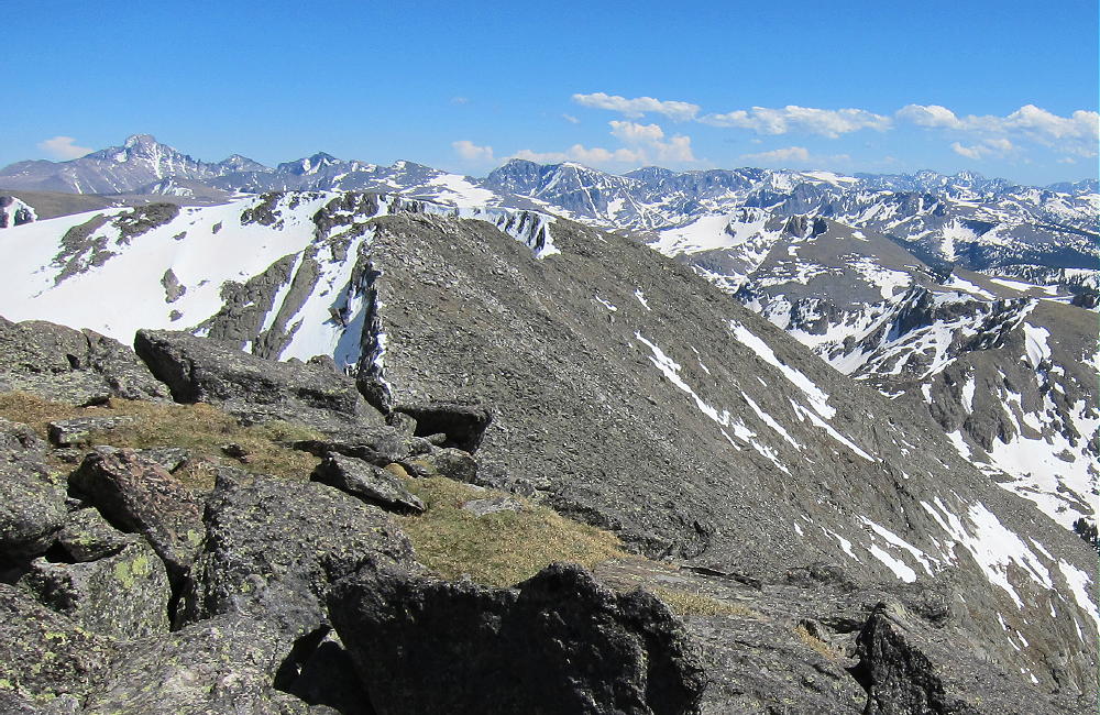
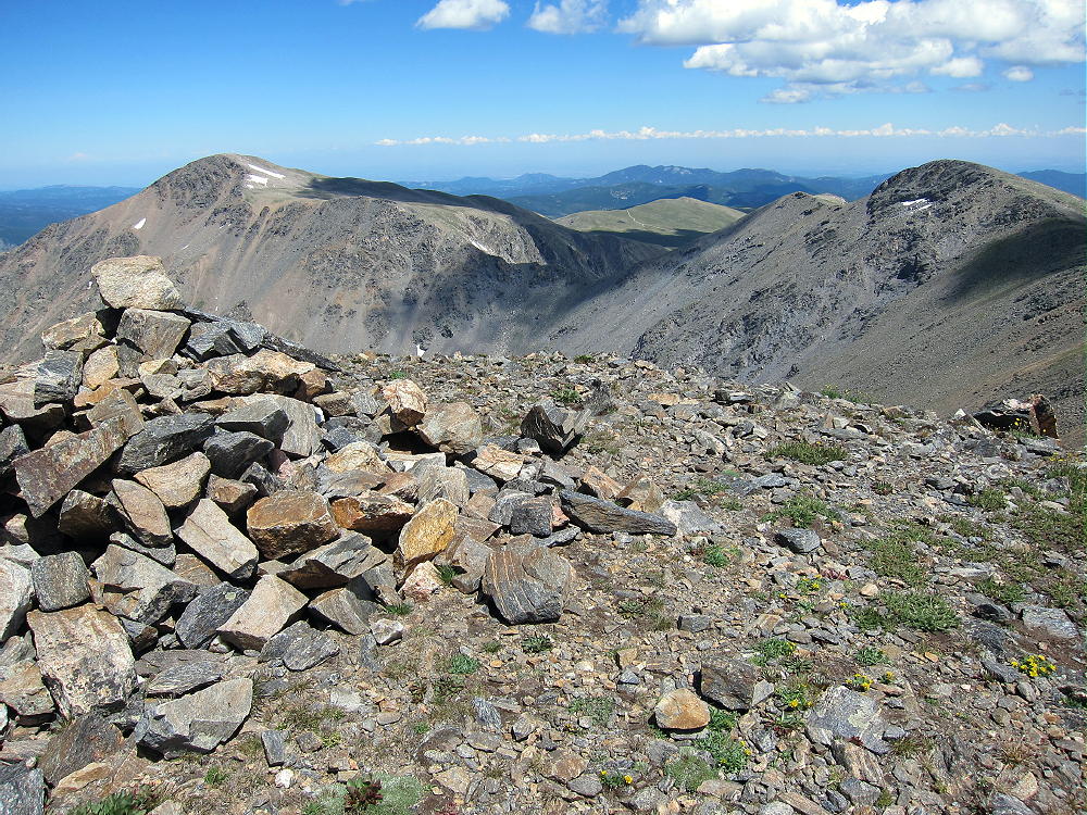
    Bald Mountain is an excellent 4000+ meter climb! There’s no serious exposure anywhere along the ridge route. The views are continuously awesome! Mount Guyot is particularly impressive less than 2 miles off the northeast side.
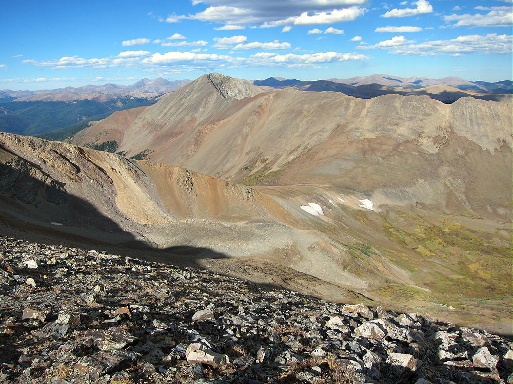
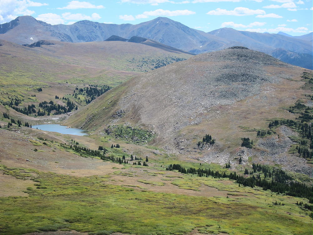
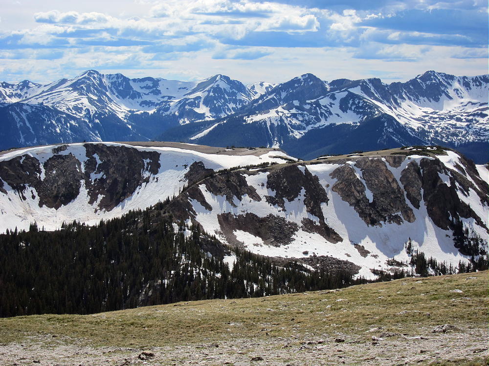
    Boreas Mountain stands high south of Black Powder Pass. Mount Silverheels looms large to the south.
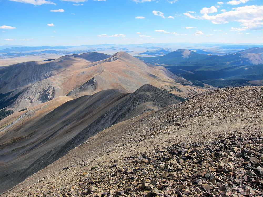
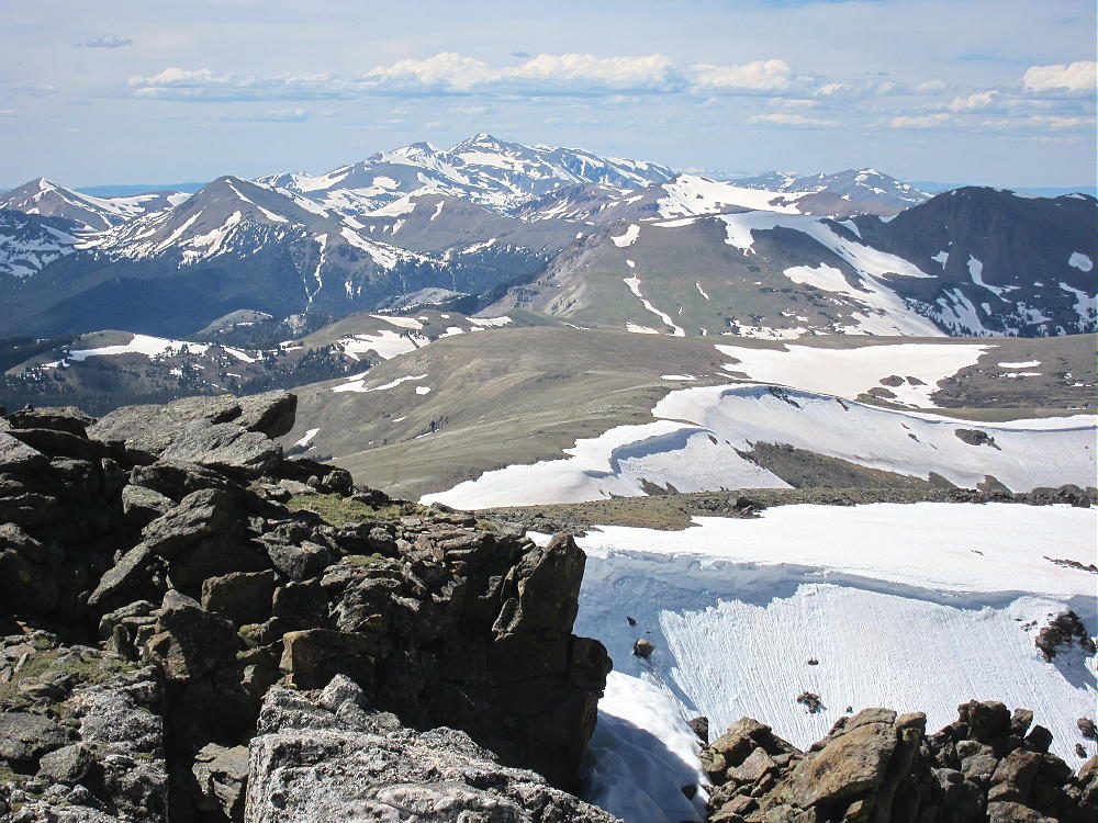
    Many 14-ers are visible in the distance – Quandary, Grays, Torreys, etc. Pikes Peak is easy to spot about 60 miles to the southeast! This is real high country in all directions! The summit is a nice climax for the long hike up over so much rock.

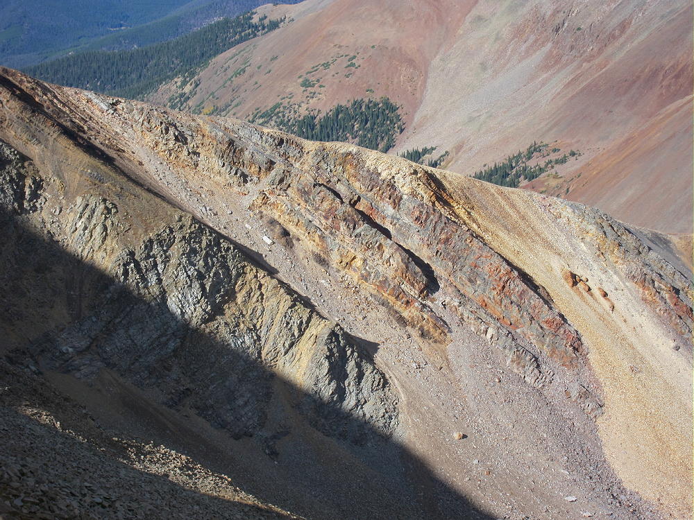
    This hike is also a geology field trip. Steeply dipping paleozoic sedimentary multi-colored rock beds appear along the high ridge, over toward Guyot, and in the peaks to the southwest.
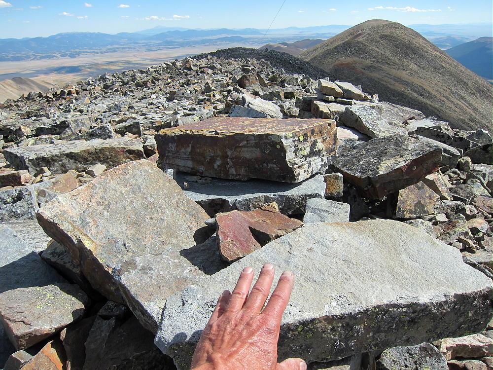
    The summit of Bald Mountain seems to be made of blocky Sawatch quartzite.
    The historic gold mines of Breckenridge are right down below. Lots of gold is still inside these mountains.

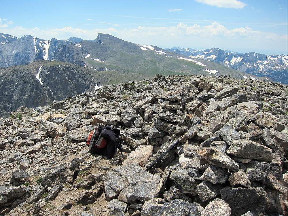
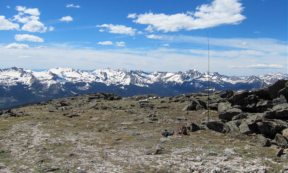
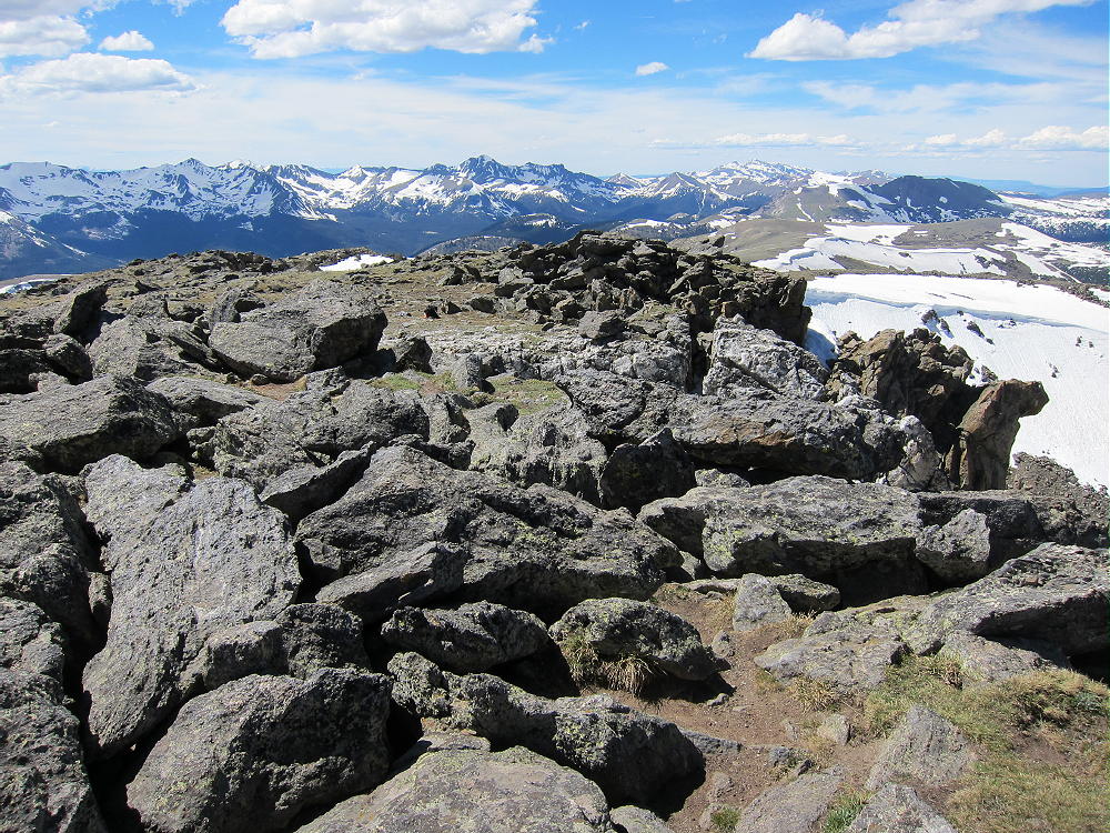
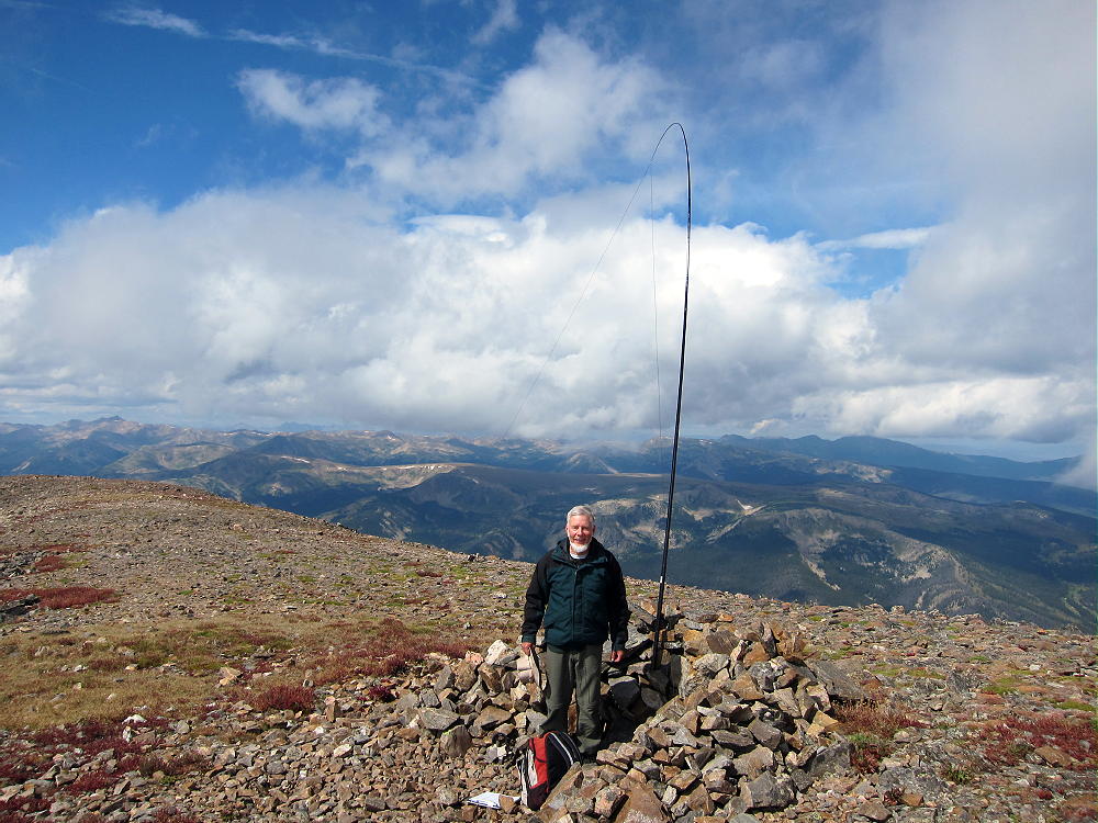
    I climbed Bald Mountain on an absolutely perfect day. When I ascended the south summit, I felt like I’d gone up to heaven. Why not, with stunning scenery, warm sunshine, and almost no wind? The north summit was a perfect spot to set up and activate, with a cozy wind shelter right on top! I had an incredibly easy activation, with strong signals, etc. I made 42 CW contacts on three HF bands.
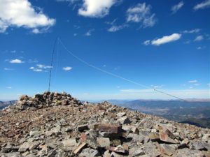
    This peak is likely a fair VHF/UHF summit, with coverage across large parts of South Park, the area near Breckenridge, and up north near Lake Dillon.

    I had the summit all to myself, although I saw a few other climbers on the ridge. It was so nice I didn’t want to descend and traverse the long ridge back to the south. The longer I stayed up there in the afternoon light, the more beautiful everything became!
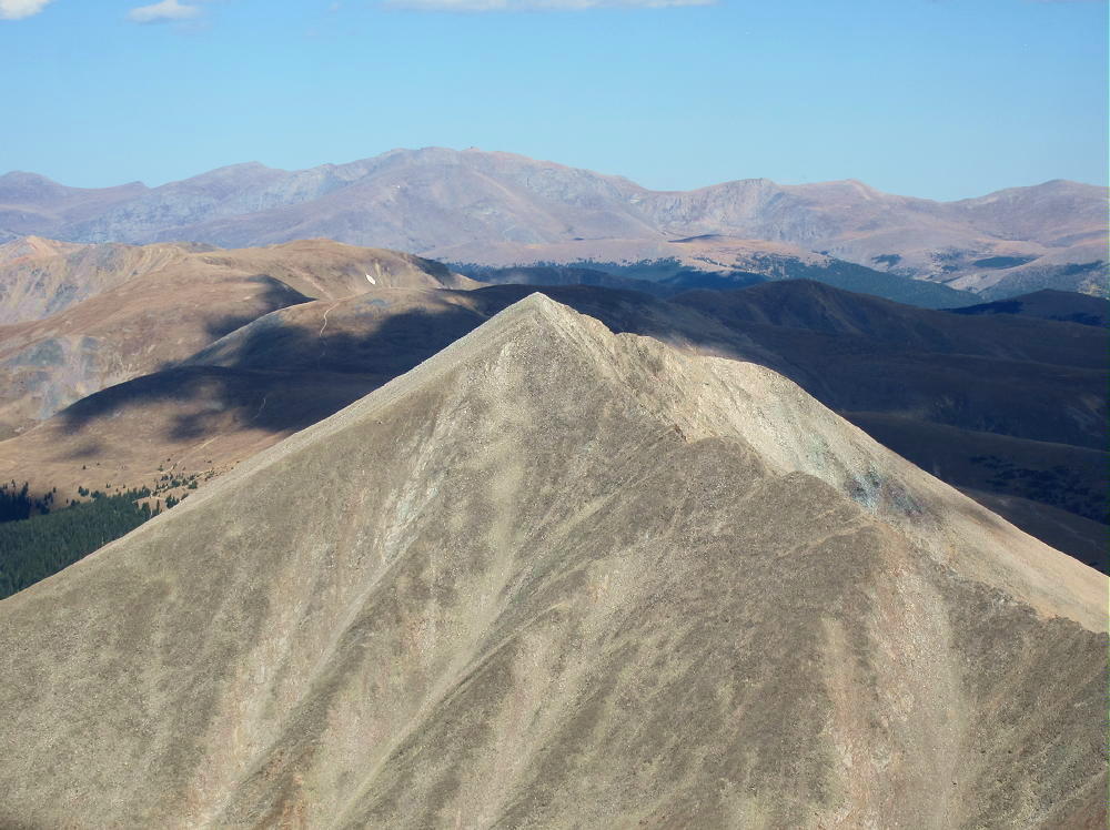
    The return trip over the various sub-peaks takes some time. Each one seems a little higher than it did earlier in the day; it’s a long time at high altitude. It feels really nice to return to the easy trail below Black Powder Pass!

    The long alpine ridge of Bald Mountain is a dangerous place in bad weather. In summer an early start is essential. This peak is so nice that it should be saved for a special day when everything is just right.
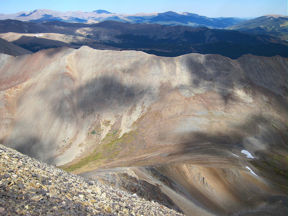
    Bald Mountain is totally a SOTA Classic!

    There’s a route up Bald Mountain’s northwest ridge from near Breckenridge, but I have no experience with that approach.

    For a dual activation, consider these two nearby summits:

    Madonna Dome W0C/SP-051 Easy – access from Boreas Pass
    Boreas Mountain W0C/SP-030 More challenging – same access

    73

    George
    KX0R

    ATTENTION !! WARNING !! There are old mountaineers, and bold mountaineers… there are no old-bold mountaineers. Hiking and mountain climbing are potentially hazardous activities particularly in Colorado with its extreme elevations. I am not accepting responsibility for any death or injury resulting from activations based on my trip reports. Proper training, experience, and personal capability assessment is required – enjoy!
  • W0C/PR-007 (Mount Epworth) – 3610 m / 11843 ft

    W0C/PR-007
    Mount Epworth
    3610 m / 11843 ft
    First Activation
    Sep 11, 2015

    By KX0R

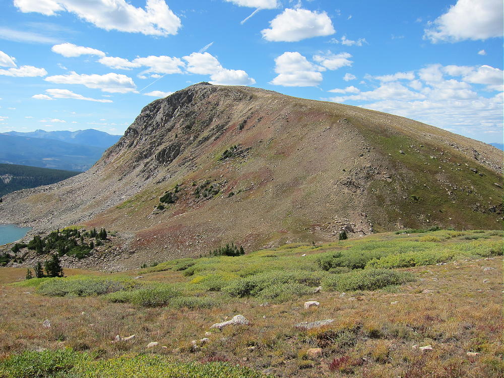
    Mount Epworth is a fun alpine SOTA peak less than a mile west of the Continental Divide, near Winter Park.

    Arapaho National Forest
    • Accessible summer and fall
    • Relatively easy alpine activation
    • Beautiful scenery
    • Few visitors
    • Fine HF site
    • Rocky off-trail hike up the mountain
    • Access via a rough 2WD road
    • 1.7 miles round-trip
    • 730 vertical feet, including the return trip

    Driving Directions:

    • Drive west from Denver on I-70
    • Turn northwest on Highway 40
    • Cross Berthoud Pass
    • Continue down Highway 40 to Winter Park
    • About 0.6 mile past Winter Park Resort, turn right, north, on Corona Pass Road 80.
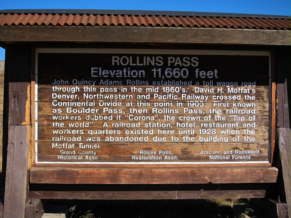
    • This road also is called the Moffat Road.
    • Follow this rough, unpaved, 2WD road about 13 miles
    • The Moffat Road is passable in cars with enough clearance
    • Park along the road about 1 mile south of Rollins Pass
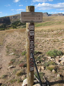
    • A small sign “Corona Lake Trail #118” marks the trail west of the road
    • This is the trailhead.

    Trail 118 leads to beautiful Corona Lake, about a mile to the north. Mount Epworth stands west across the valley from the trailhead.

    The Hike:

    • Walk down the Corona Lake Trail about 1/5 mile.
    • Look for an informal path heading down off the main trail, toward Pumphouse Lake below

    • Hike down to the north end of Pumphouse Lake
    • Cross the small outlet creek
    • Continue southwest toward Mount Epworth, and pick a route up the steep, rocky northeast slope.
    • There are some paths in the scree, but there’s no real trail up Epworth.
    • Further around the mountain to the west, an alternate route is available
    • It’s less rocky, but slightly longer.

    After about 250 vertical feet of loose rocks above the lake, the route gets much easier. The last part of the climb is over large, stable boulders. The summit is a large mass of rocks, and the pile can be climbed easily on its southeast side. There are numerous large cairns on the summit – the cairn builders certainly had a lot of energy!

    The activation zone is large and rocky. In good weather it’s pleasant, and the summit has nice views. There are no trees; a pole can be guyed or braced with rocks. It’s possible to operate right on the peak as I did; if it’s windy, set up behind rocks for shelter.

    No development is near the mountain, and the RF noise level is very low. It’s a good HF site – there are no higher peaks nearby to block the signals. Low-angle radiation is possible in most directions. Epworth is probably a poor VHF/UHF site, because it’s partly blocked to the east by the Continental Divide. There’s some coverage of Winter Park, Fraser, and the area around Granby.

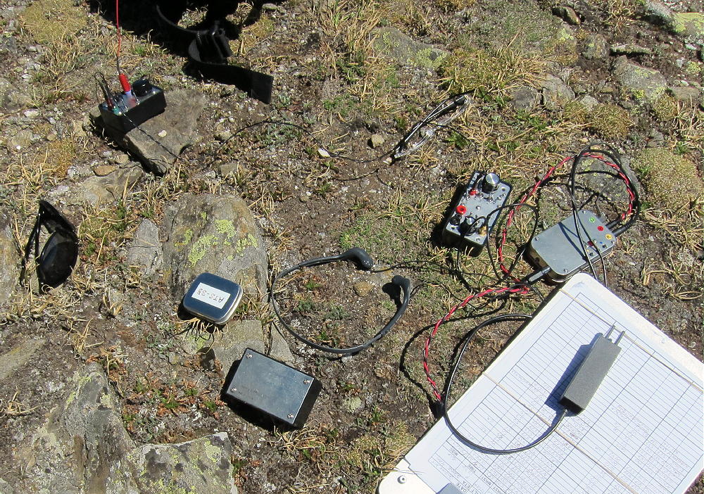
    I had an enjoyable late-afternoon activation.  My logs shows 19 contacts on 30, 20, and 17M.  I was able to work EA2IF, Guru, in Spain, across the Continental Divide and the Atlantic Ocean, with my tiny 5 watt ATS-3B radio.

    Mount Epworth can be combined with nearby Skyscraper Peak W0C/FR-122 for a dual activation. Skyscraper takes more time than Epworth, so it’s probably better to activate Skyscraper first. I did this, and it worked well. The mileage total for the dual activation is about 6.9 miles, with a total vertical gain of about 1425 feet. My total time for both trips, including the short drive between the trailheads, was about 7 hours. The drive from Boulder took about 3 hours each way, so it was a 13-hour day in perfect conditions.

    Climbing and activating Mount Epworth should be reserved for a day with stable, dry weather. The Continental Divide often has dangerous lightning storms, high winds, hail, snow any month, fog & clouds, etc.

    73

    George
    KX0R


    ATTENTION !! WARNING !! There are old mountaineers, and bold mountaineers… there are no old-bold mountaineers. Hiking and mountain climbing are potentially hazardous activities particularly in Colorado with its extreme elevations. I am not accepting responsibility for any death or injury resulting from activations based on my trip reports. Proper training, experience, and personal capability assessment is required – enjoy!
  • W0C/FR-122 (Skyscraper Peak) – 3774m / 12383 ft

    W0C/FR-122
    Skyscraper Peak
    3774 m / 12383 ft
    First Activation
    Sep 11, 2015

    By KX0R

    Skyscraper Peak is a rocky alpine SOTA peak on the Continental Divide near Winter Park.

    Key Points:

    Indian Peaks Wilderness
    • Accessible summer and fall
    • Rough 2WD road to trailhead
    • High exposed summit
    • Relatively easy hike
    • All above timberline
    • 5.3 miles round-trip
    • ~ 700 vertical feet
    • SOTA Classic !

    Driving Directions:

    • Drive west from Denver on I-70
    • Turn northwest on Highway 40
    • Cross Berthoud Pass
    • Continue north down Highway 40 to Winter Park
    • About 0.6 mile past the Winter Park Resort, turn right, north, on Corona Pass Road 80.
    • This road also is called the Moffat Road.
    • Follow this rough, unpaved, 2WD road about 15 miles to Rollins Pass
    • This is the trailhead.

    Rollins Pass – also called Corona Pass – is the primary access to Skyscraper Peak. The trailhead’s on the Continental Divide, southwest of the Peak. The Moffat Road requires more clearance than many cars have; this road follows the old Moffat Railroad Grade. Rollins Pass also is accessible by hiking or biking up from the east side. Skyscraper Peak is in the Indian Peaks Wilderness; there’s no access to vehicles north of Rollins Pass.

    The Hike:

    • Hike north along the Divide via the marked Continental Divide Trail (CDT).
    • The CDT climbs gently to about 12,100 feet – then it descends north
    • There’s no marked route to Skyscraper Peak
    • Use a topo map or GPS to navigate to the summit
    • About 1.7 miles north of Rollins Pass, head northeast from the CDT
    • A good place to leave the CDT is at 12,100 feet on the CDT
    • Contour northeast across the tundra at 12,100 feet for about 2/3 mile
    • Hike to the eastern edge of the Divide and enjoy the deep view down to Bob and Betty Lakes
    • Skyscraper Peak stands ahead – a bump on a long ridge leading to the northeast

    • Continue northeast onto the ridge and climb up to the summit

    There’s no marked trail from the CDT east to the summit. It took me almost 1-1/2 hours to reach the peak from Rollins Pass. The short final climb to the peak is not difficult. Stay to the south of any obstacles – there are hints of a path here and there. Nevertheless, this route is quite high and airy, and it’s not for the faint of heart!

    It might be practical to climb the east ridge of Skyscraper from Woodland Lake – or to ascend steeply up to the summit from Skyscraper Reservoir – but I have not tried either route.

    Skyscraper Peak is not an ideal SOTA peak for all activators. The air’s thin at 12,000 feet, the Divide’s often windy, and dangerous storms may occur. The summit is a rocky knob on a narrow, somewhat exposed ridge with very steep slopes on both sides – there’s almost no protection from wind and weather. The glacial cirques on both sides of the summit are more than 1100 feet down. Setting up an HF antenna requires good judgment and steady feet – there are a few loose rocks. It’s a bit like standing on a 1000-foot skyscraper, hence the name.

    The long, narrow activation zone has enough space to set up gear and an HF antenna; I found a good spot on the southeast side of the summit. I guyed my 20-foot pole to rocks – that was my best option. I ran the 52-foot wire northeast along the ridge – it was a good, secure arrangement for the antenna. There was enough wind that it was worth the trouble to get it right.

    Skyscraper Peak is a fine HF site. It’s many miles from development, and the RF noise level is very low. With no other peaks nearby, this site offers a low-angle view all around. It’s very much like a rock tower – in fact, because the ground falls away so steeply, it may have poorer ground reflection on HF than many less-prominent sites. It should be a fine VHF/UHF site – it has a partial view of the Denver metro area, as well as other population centers on the eastern plains. There’s some blockage from lower mountains east of the peak. Skyscraper also looks west toward Winter Park, Fraser, Granby, and beyond.

    I operated CW on 10, 14, and 18 MHz from Skyscraper. I made 20 contacts – OK, but not great. The was a geomagnetic storm in progress when I was out there, so maybe I did pretty well.

    The views are more than awesome; the experience of setting up and activating Skyscraper is intense! It’s worth the hike just to see the many glacial lakes in the area. Activators who are OK with some exposure and thin air will appreciate this exciting, less-traveled, alpine summit.

    Skyscraper Peak is a SOTA Classic!

    • Wilderness summit
    • Easy alpine hike along the Continental Divide
    • Spectacular views and scenery the entire way
    • Fine HF/VHF/UHF radio site
    • Few visitors

    An activation of Skyscraper Peak can easily be combined with nearby Mount Epworth W0C/PR-007 for a dual activation. Skyscraper takes more time than Epworth, so it’s probably better to activate Skyscraper first. I did this, and it worked well. The mileage total for the dual activation is about 6.9 miles, with a total vertical gain of about 1425 feet. My total time for both trips, including the short drive between the trailheads, was about 7 hours. The drive from Boulder took about 3 hours each way, so it was a 13-hour day in perfect conditions.

    Climbing and activating Skyscraper Peak should not be attempted unless the weather is stable and dry. The Continental Divide often has dangerous lightning storms, high winds, hail, snow any month, fog & clouds, etc.

    Save this experience for a perfect day!

    73

    George
    KX0R


    ATTENTION !! WARNING !! There are old mountaineers, and bold mountaineers… there are no old-bold mountaineers. Hiking and mountain climbing are potentially hazardous activities particularly in Colorado with its extreme elevations. I am not accepting responsibility for any death or injury resulting from activations based on my trip reports. Proper training, experience, and personal capability assessment is required – enjoy!
  • WØC/FR-Ø18 (Hallett Peak) – 3875 m / 12713 ft

    W0C/FR-018
    Hallett Peak
    3875 m / 12713 ft
    July 20, 2014

    by KX0R

    Hallett Peak is a popular, accessible, alpine SOTA peak on the Continental Divide in Rocky Mountain National Park. A well-maintained trail from the Bear Lake Trailhead leads all the way to the summit. The one-way distance is about 5 miles, and the vertical gain is about 3200 vertical feet.

    Hallett Peak from Flattop Mountain Trail
    Hallett Peak from Flattop Mountain Trail

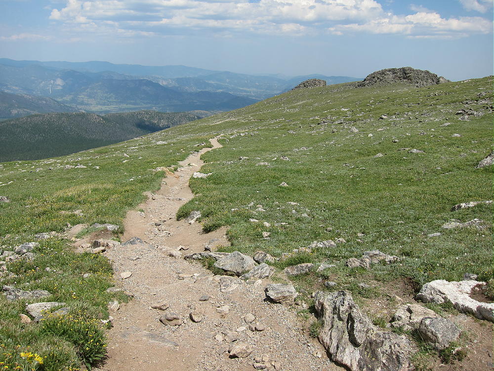
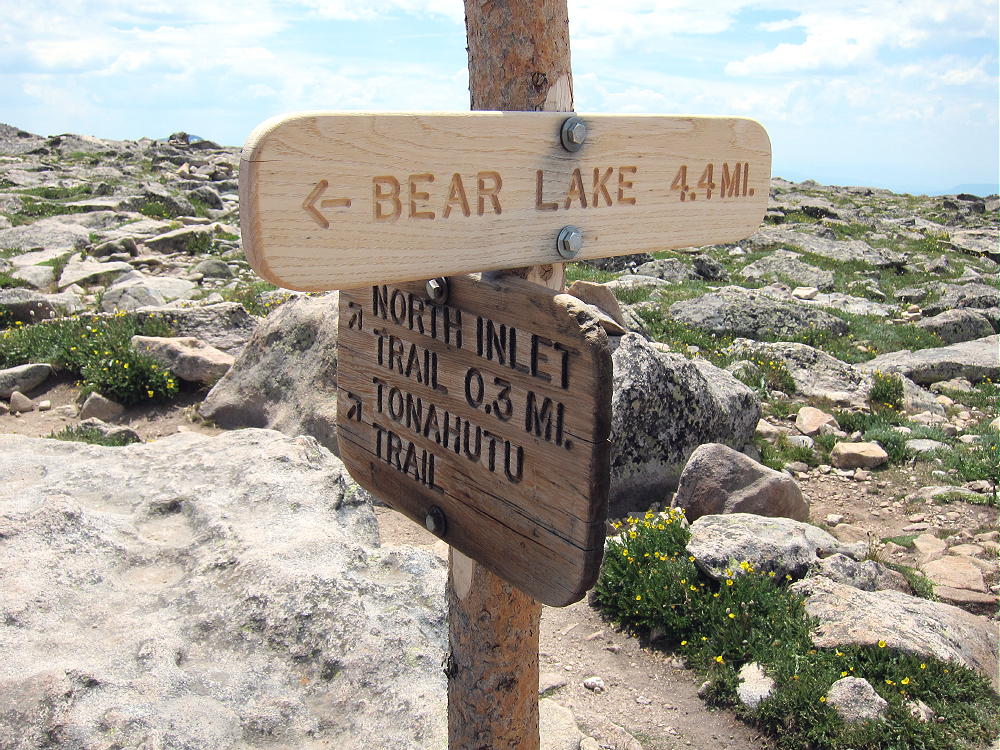
    Get up really early, drive to Estes Park, continue to the Beaver Meadows Entrance of the National Park, and then take the winding Bear Lake Road up to Bear Lake. An early start is necessary in summer, partly to beat the thunderstorms, but also because the large parking lot may fill before 8:30 AM. Hike around the east side of Bear Lake and climb the marked Flattop Mountain Trail all the way up to the Divide. This popular, scenic trail has a steady, efficient grade. The upper part of the trail is high above tree-line and wide open.

    Flattop Mountain Trail in Alpine Zone
    Flattop Mountain Trail in Alpine Zone

    There may be an easy snowfield to cross, just before the trail reaches the Divide. The main trail splits, and both forks lead to West Slope destinations, but a small side trail heads left near Flattop Mountain; it leads south and then east, up through the rocks, for about 0.6 miles to Hallett Peak. The vertical ascent on this last leg is 500 feet.

    Click here for a useful map of Rocky Mountain National Park.  This shows the Flattop Mountain Trail, Hallett Peak, the Bear Lake Road, etc.  Take a good topo map on the trail.

    If the weather is nice, there usually are people at the summit. The activation zone is large enough that it’s possible to move off the top and set up out of the wind. When I climbed Hallett on July 20, 2014, the wind was so cold and strong that many hikers turned around – they were not prepared for such harsh conditions. The summit was downright rough, with the gusts roaring over the rocks.

    Hallett Peak Summit Shelter and View South along Divide
    Hallett Peak Summit Shelter and View South along Divide

    I went down the southeast slope and found a calm spot among the rocks, away from the people and the cold. Perhaps I lost a few db of signal to the northwest, but I had a fun time, with little stress, and my pole stayed up – signals were strong, and I couldn’t tell that I wasn’t on the peak!  This is a fine HF site, and OK for VHF/UHF as well.

    KX0R SOTA HF Activation of Hallett Peak with 67 ft EF Wire
    KX0R SOTA HF Activation of Hallett Peak with 67-Foot EF Wire

    In my opinion, it’s almost never worth setting up on a summit in high winds for a SOTA activation. Most summits have a “wind shadow” within the activation zone, so it’s possible to escape most of the wind and enjoy the experience. At high altitude it’s essential to avoid hypothermia and reduce stress!

    Hallett Peak is a dangerous summit in bad weather. The northern Front Range is particularly windy and prone to thunderstorms; snow and serious hail are possible any month. Always check the weather forecast and watch for changing conditions up there!

    Make sure to return to Bear Lake via the Flattop Mountain Trail! Unless you know the area, any other descent route east will probably be more challenging than you can deal with.  

    Check out Guy N7UN’s Report Here.

    Also N0BCB’s great photos!

    73

    George Carey Fuller
    KX0R


    ATTENTION !! WARNING !! There are old mountaineers, and bold mountaineers… there are no old-bold mountaineers. Hiking and mountain climbing are potentially hazardous activities particularly in Colorado with its extreme elevations. I am not accepting responsibility for any death or injury resulting from activations based on my trip reports. Proper training, experience, and personal capability assessment is required – enjoy!
  • WØC/FR-Ø16 (Mount Ida) – 3932 m / 12900 ft

    W0C/FR-016
    Mount Ida
    3932 m / 12900 ft
    July 21, 2013 First Activation
    June 20, 2014

    by KX0R

    Mount Ida is a classic alpine summit in Rocky Mountain National Park. A spectacular trail leads along the Continental Divide all the way to the top of the peak.

    Mount Ida from Trail Ridge
    Mount Ida from Trail Ridge

    To reach the trailhead, enter Rocky Mountain National Park, drive up Trail Ridge Road, and continue to Milner Pass on the Continental Divide. Milner Pass is at the southwest end of Poudre Lake, at an altitude of 10,759 feet. The road is usually open from late May to about November 1, depending on the snow.

    Some navigating is required to hike this trail. Start up the trail next to the southwest shore of the Lake and head toward Mount Ida. The climbs up the Continental Divide ridge south of Milner Pass and gains altitude quickly. Avoid any fork that heads northeast toward Forest Canyon Pass. Soon the trail climbs above tree-line, moderates, and heads southeast toward Mount Ida. The trail stays below and west of the ridge-top for a mile or more; farther south it climbs close to the ridge-top and runs there for about three more miles.

    The total round-trip distance from Milner Pass to Mount Ida and back is about 9.5 miles; the total ascent is about 2200 vertical feet.

    When I went up there June 20, 2014, I misjudged conditions, because trails on the east side of the Park were mostly open and snow-free. I found the trail at Milner Pass under several feet of snow and essentially impassible without snowshoes. With my snowshoes at home, I drove to a point near the Alpine Visitor Center, hiked the snowy trail southwest to Forest Canyon Pass, and then hiked over the ridge-tops of the Divide to the Mount Ida trail.

    Mount Ida Route Long Hike Route
    Mount Ida Long Hike Route June 2014

    There was little snow up high, so this long, strong route worked out OK; I found myself on top of Ida – all alone in the high alpine wilderness! The round trip from near the Alpine Visitors Center was just over 13 miles.  If I go up there again in June, I’ll remember my snowshoes!

    If the weather is good, Mount Ida provides an exciting SOTA activation. The summit is rocky, and the activation zone is large. Some convenient rock outcrops are available for holding a pole, or for tying the far end of the wire. The flat area northwest of the summit is a good spot to set up.

    The only problem – besides wind – is that there are marmots – these large rodents sometimes seek out rope or Dacron antenna lines and sabotage the activation.

    Note that in the Summitpost Link on the SOTA page – this is a good article –  the writer suggests hiking to Mount Ida from Bear Lake as a possible alternative to starting at Milner Pass. The journey from Bear Lake is an extreme hike, with much of the route exposed to weather for about seven miles each way along the high Divide. Only hikers in top physical condition, with plenty of high-altitude experience, should attempt that route – and then only with adequate gear and preparation for the conditions. The round-trip distance from Bear Lake is well over 20 miles, and much of that is off-trail and above tree-line!

    Mount Ida South along Divide
    Mount Ida South along Divide

    Even on a sunny day, Mount Ida can be very windy – be prepared. The high, spectacular trail along the Divide is wonderful on a nice summer day, but it’s dangerous if storm clouds build up. An early start is a good idea. Avoid this area if thunderstorms are forecast, and be prepared to head down if the weather threatens. There is no good way off the high trail along the Divide, so don’t get caught up there!

    73

    George Carey Fuller
    KX0R


    ATTENTION !! WARNING !! There are old mountaineers, and bold mountaineers… there are no old-bold mountaineers. Hiking and mountain climbing are potentially hazardous activities particularly in Colorado with its extreme elevations. I am not accepting responsibility for any death or injury resulting from activations based on my trip reports. Proper training, experience, and personal capability assessment is required – enjoy!
  • WØC/SR-Ø29 (Parry Peak) – 4074 m / 13391 ft

    W0C/SR-029
    Parry Peak
    4074 m / 13391 ft
    August 24, 2013 First Activation
    August 02, 2014 Second Activation

    By KX0R

    Parry Peak is a classic alpine SOTA peak on the Continental Divide, west of Boulder and east of Winter Park. Climbing Parry requires a serious commitment and a good day. No regular roads are close to the summit, all the routes are long, and there is significant vertical gain. Since large parts of the route are not on marked trails, a good topo map and off-trail experience are critical.  The thin air at 4000 meters increases the challenge and the risks.

    Parry Peak from James Peak
    Parry Peak from James Peak

    My first ascent of Parry included a hike starting just west of the old mining town of Alice. To get to Alice, drive up the Fall River Road 275 north of I-70. At Alice, turn left on Alice Road and follow it about a mile to Steuart Road – this is the Loch Lomand 4WD Road. Most cars can go about ¼ mile, but the rough road requires a high clearance vehicle after that. Park near Alice at about 10,400 feet if you have a regular car. Follow the road to Loch Lomond, a large reservoir near treeline at 11,200 feet.

    Find a closed road leading SW from Loch Lomond, and hike up past Lake Caroline to about 12,000 feet.

    Lake Caroline from Ascent up Bancroft to Parry
    Lake Caroline from Ascent up Bancroft to Parry

    Climb northwest up a long moderate ridge leading to Mount Bancroft. This ridge is grassy and nice for a while, and then it gets steeper and rockier near the top. Climb Bancroft or contour west to the Bancroft-Parry ridge; it an easy mile along the Divide from the Bancroft summit to Parry Peak.  From near Alice to Parry Peak is about 4.5 miles one way, with about 3000 vertical feet of ascent.

    Rose on Ridge Looking West to Parry
    Rose on Ridge Looking West to Parry

    See the report on James Peak W0C/SR-031 or a description of how to combine an ascent of James with Parry. That route requires climbing James and then descending south along the Divide via the deep saddle between James and Bancroft. The Bancroft – Parry ridge completes the connection along the Divide.

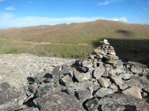
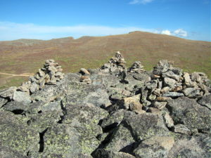
    The broad summit of Parry has a large activation zone, and there is a convenient rock shelter with some protection from wind. Few people visit Parry, and it’s an ideal radio site. A pole is required for an HF activation. There are fine views all around, and it’s a pleasant summit – as long as the weather is nice.

    My second activation of Parry was a dual activation after climbing James. My daughter Rose accompanied me on this long, strong hike. We had good weather and enjoyed Parry. We descended Parry via the Bancroft to Loch Lomond route described above; then we hiked back up across the tundra and over Kingston Peak for almost three miles to our vehicle east of James.  The total distance around the loop that day was 11.1 miles, and the total vertical ascent was about 3600 feet.

    It’s possible to climb Parry from Berthoud Pass (US 40) via the Continental Divide Trail (CDT). This spectacular 5-mile (one way, approx) route leads over Mount Flora, W0C/SR-035, 3999M, 13146 ft, also on the Continental Divide. On a good, dry day it might be possible to activate both summits. The entire route is high and exposed – there is little shelter. The route starting at Berthoud Pass is less difficult than the routes from the east, but good weather is critical up on the Divide.

    Parry Peak is a SOTA Classic any way you do it!

    George Carey Fuller
    KX0R


    ATTENTION !! WARNING !! There are old mountaineers, and bold mountaineers… there are no old-bold mountaineers. Hiking and mountain climbing are potentially hazardous activities particularly in Colorado with its extreme elevations. I am not accepting responsibility for any death or injury resulting from activations based on my trip reports. Proper training, experience, and personal capability assessment is required – enjoy!
  • WØC/FR-Ø72 (Mt. Olympus) – 2679 M / 8808 ft

    W0C/FR-072 (Mt. Olympus) 2679 M / 8808 ft
    May 3rd, 2014

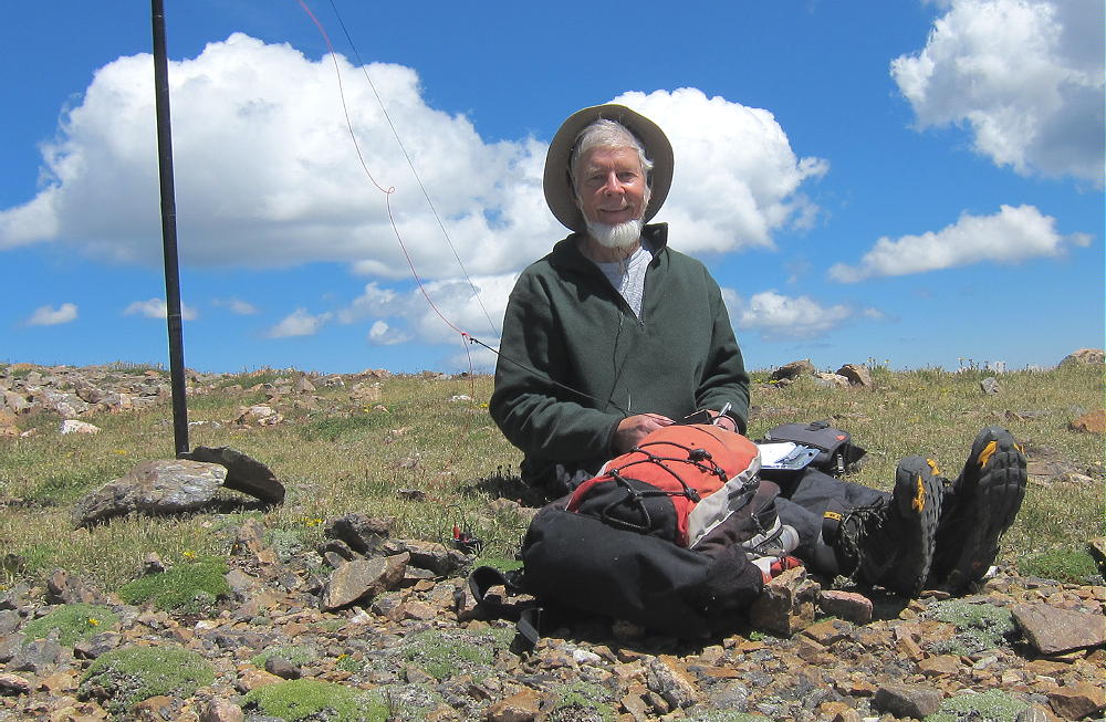
    by KØMOS

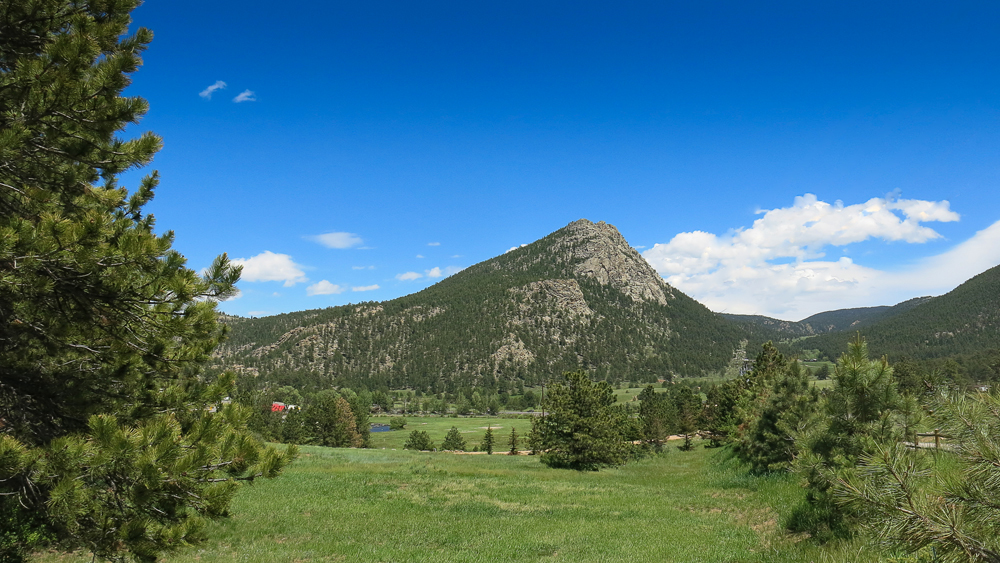
    Mount Olympus stands tall right between Big Thompson Canyon (US34) and Little Thompson Canyon (US36) on the east side of Estes Park (CO). It’s a stunning mountain even though it’s elevation is not even 9000 ft (~2800 m) – and therefore only a two pointer in the WØC association.

    Mt. Olympus - 2679 m / 8808 ft
    Mt. Olympus – 2679 m / 8808 ft

    I have driven by this mountain numerous times in the past but since it is all bushwhacking to the top and only rewards two SOTA points it had lingered on my ‘to-do’ list… for way too long in turns out. The hike is prettier than expected and the summit provides some unusual views towards the continental divide and Rocky Mountain National Park. Definitely recommended – if you have the necessary route finding skills.

    The approach from the south (US36) is difficult since this side belongs to the Crocker Ranch and is therefore private property. So is the actual summit (according to the USGS map) but it is possible to get into the activation zone on NF land from the north. There are no signs,  barbed wire fences or any other indication that the summit is on private property. It seems that the owner does not mind hikers reaching the very top.

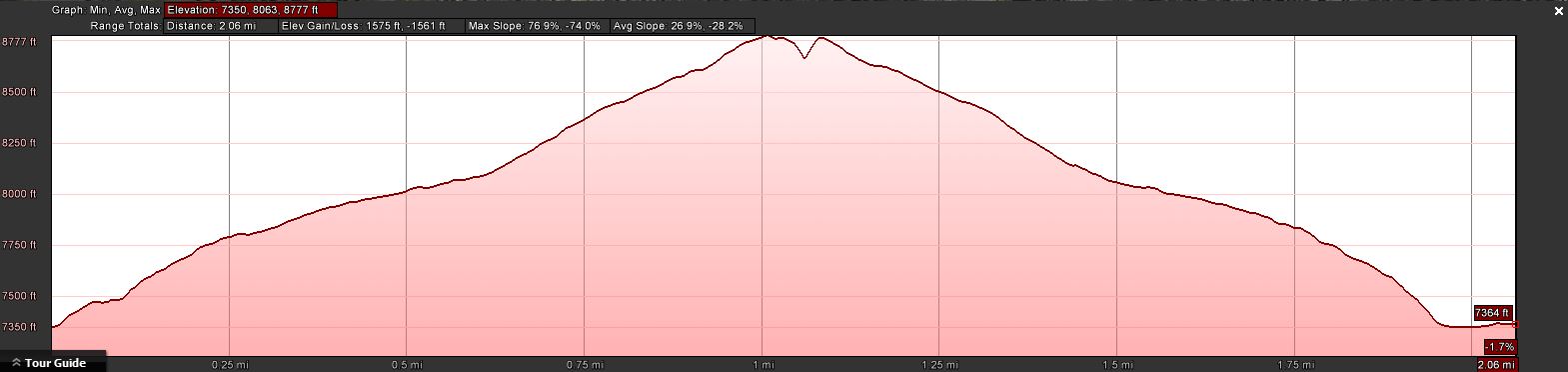
     Trailhead:  7351 ft / 2241 m
     Summit:     8808 ft / 2679 m 
     Elev. gain: 1575 ft /  480 m
     Roundtrip:  2.1  mi /  3.4 km


    Compare this summit with my other activated summits

    How to get there:

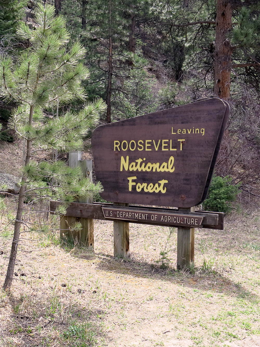
    Drive east from Estes Park towards Loveland on US34. After passing Lake Estes, the road goes into the Canyon. There is a little gravel pullout on your right with a NF sign, indicating that you are entering Roosevelt National Forest. That’s your best bet to leave your car.

    Parking/Trailhead

    Red Tape:
    Keep in mind that the summit is on private property, but as mentioned above, there is no indication that the owner has any issue with you climbing to the top.

    The Ascent:

    The elevation profile
    The elevation profile
    Park at the sign
    Park at the sign

    I climbed up the steep slope just behind the sign, keeping my route to the NE (downriver).  I traversed numerous rock outcroppings and stayed way left of the steep couloir. Eventually the terrain became less steep and the forest opened up a bit. Plenty of rock outcroppings everywhere, giving you a chance to climb up and take a peek towards the Continental Divide. I ignored the stone cairns here and there since they they did not indicate a clear path and just followed my gut and navigational instincts.
    About half way up the terrain flattens out even further, making for a nice hike through the woods. The cairns became more numerous and they seemed to lead into the right direction.  I started to follow them, a wise decision since the slope became steeper and the underbrush more dense. Following the cairns led me comfortably through some really thick stuff right to the summit.

    The Summit:

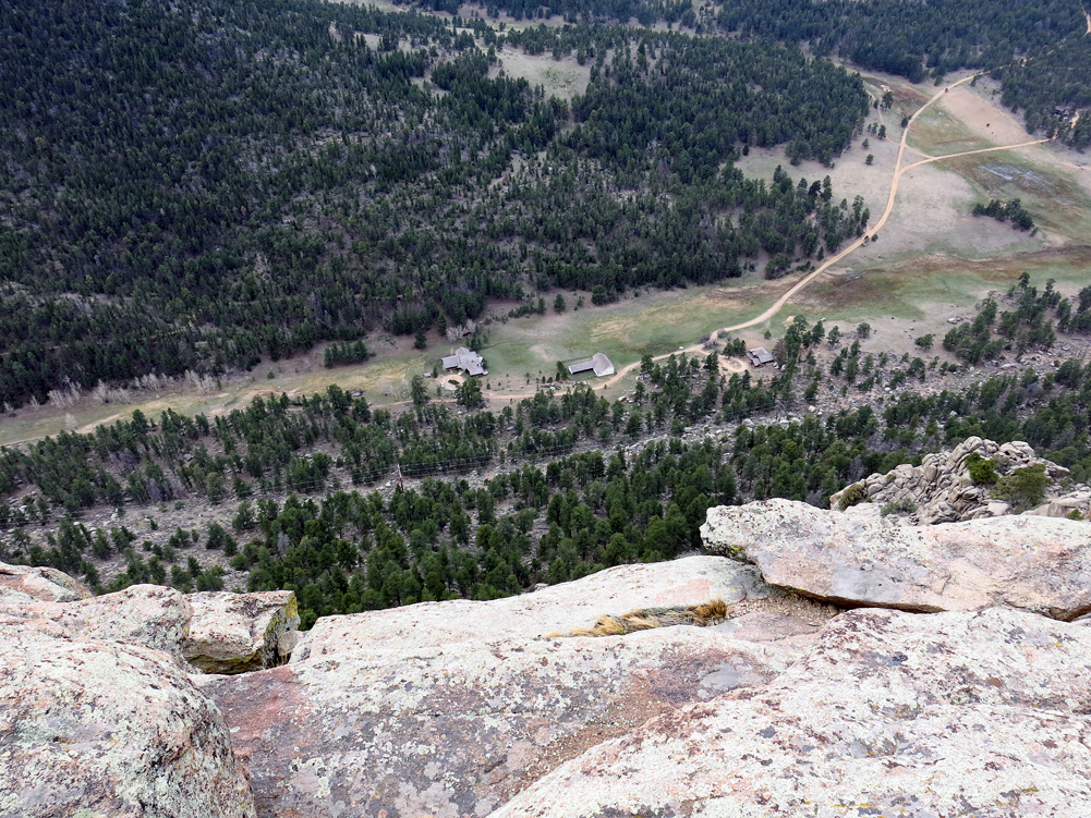
    The Crocker Ranch below
    The Crocker Ranch below

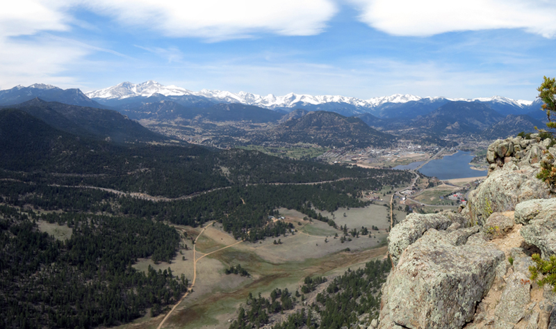
    If you look at the profile of the summit it looks as if somebody took a knife and cut off a piece at the highest point. The south face is very steep and more inclined towards rock-climbing. It allows some great views toward Estes Park, Rocky Mountain N.P and the Continental Divide as well as to the Crocker Ranch just below the rocky face.
    The summit is rocky, quite small with a few ‘trees’ to tie your mast to, and a steep drop-off to the south. I was carrying a 16ft fishing pole with a linked EFHW which I wedged between the rocks at the highest point – perfect. With hardly any wind and mostly sunny skies the activation was very pleasant. The rocks even provided some nice options to sit on.

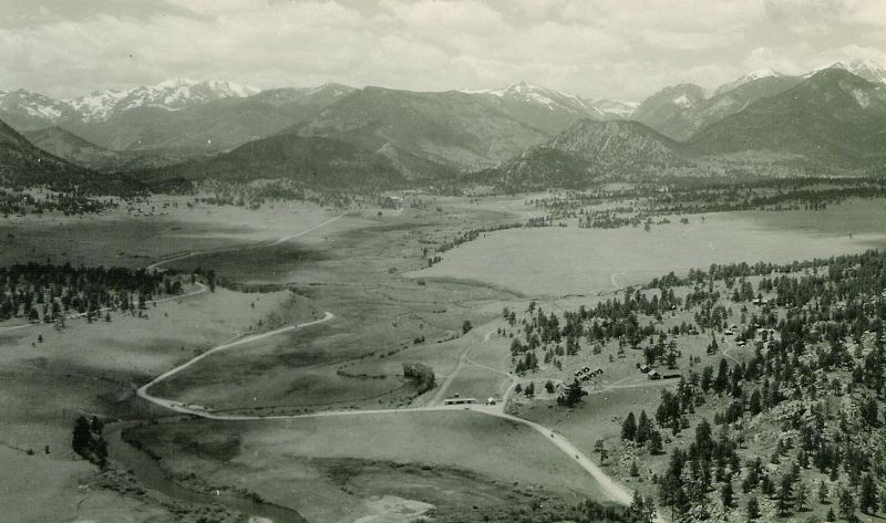
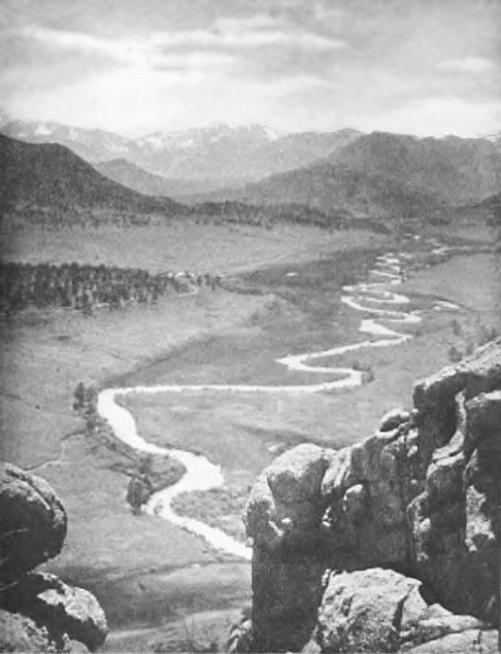
    I found two historical photos taken from about the same spot. Take a closer look at the three pictures below… interesting to see the huge changes over time:

    The Descent:
    I followed the cairns on my way down. At some stage I missed some of them and just followed the general direction to the TH. I missed the car by ~50ft.

    Some video impressions:

    [weaver_youtube http://youtu.be/M8BhegARSmU id=M8BhegARSmU sd=0  percent=100 ratio=0.5625 center=1 rel=0 https=0 privacy=0]


    If you would like to leave questions or comments, please do so through Youtube.


    ATTENTION !! WARNING !! There are old mountaineers, and bold mountaineers… there are no old-bold mountaineers. Hiking and mountain climbing are potentially hazardous activities particularly in Colorado with its extreme elevations. I am not accepting responsibility for any death or injury resulting from activations based on my trip reports. Proper training, experience, and personal capability assessment is required – enjoy!