SOTA outings by KØMOS and contributors

Tag: colorado trail

  • W0C/PR-107 (10450) – 3185 m / 10450 ft

    W0C/PR-107
    10450
    3185 m / 10450 ft
    First Activation
    Sep 12, 2016

    By KX0R

    Peak 10450 is a fun SOTA peak hidden in the forest near Breckenridge, Colorado

    White River National Forest
    • Good marked trail much of the way
    • Very moderate off-trail final climb, about 0.6 mile to a pleasant forested summit
    • Nice hike partly along the Colorado Trail
    • Interesting, popular trailhead
    • Obscure summit, rarely visited
    • ~ 5.5 miles round-trip
    • ~ 1000 vertical feet
    Driving Directions:

    • Drive west from Denver on I-70 to Frisco
    • Turn south on Highway 9 and drive toward Breckenridge
    • Turn left, east, at a stop light north of Breckenridge onto Tiger Road
    • About 2.1 miles from the stop light, look for a trailhead on the left (north) side of the road, at a small lake
    • This is the Horseshoe Gulch Trailhead
    • Galena Gulch leads south on the opposite side of the paved road from the Trailhead
    • This is called Blair Witch Trailhead on Google Maps (click the link for Drone Video!)
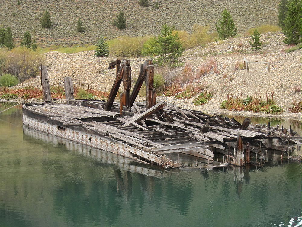
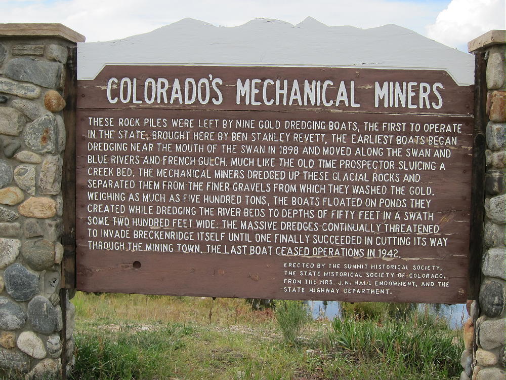
    • It’s also the site of the Tiger Gold Dredge, sitting in the small lake

    • It’s a very popular mountain bike trailhead with convenient access to the Colorado Trail
    • Parking is free, but the lot may fill up on summer weekends

    The Hike:

    • Hike around the east end of the lake by the dredge and follow the excellent Horseshoe Gulch Trail 9131 north up the valley. Keep an eye open for mountain bikers!
    • At about 0.5 miles, the trail intersects the Colorado Trail No. 1776
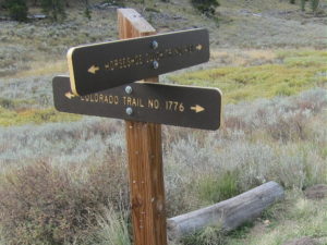
    • Follow the Colorado Trail east as it climbs switchbacks up a hill
    • The trail leads around the north side of the hill
    • Next it crosses an open, clear-cut saddle at about 9850 feet
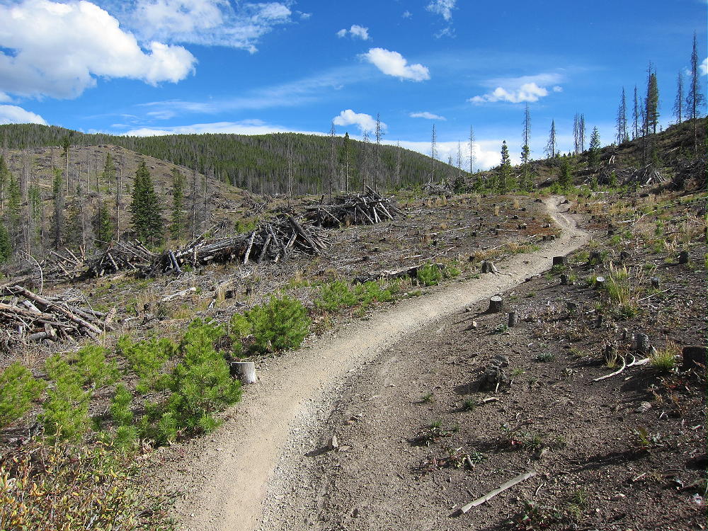

    • The trail ascends around the north side of a higher ridge to a saddle at 10,200 feet
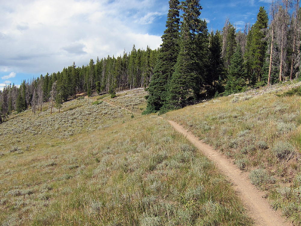

    • At the saddle, leave the trail and head south up the big forested ridge
    • Follow the ridge about 0.2 miles to a sub-peak at 10,400 feet
    • Continue southwest through the forest for 0.4 additional miles, along the relatively open ridge to the actual summit
    • The correct summit is obvious, because the land falls away steeply to the west, south, and east

    Additional Details:

    While you’ll probably see hikers and bikers on the Colorado Trail, Peak 10450 sees very few visitors – it’s an average summit surrounded by much higher peaks. However, 10450 is very accessible – I was surprised that it had not been activated for SOTA.

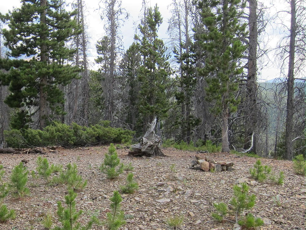
    Most of the route along the ridge is through open pine forest, but there are a few spots of thick lodge-poles with a little deadfall. Be sure to hike all the way south to the actual summit. There’s a pile of rocks near the peak.
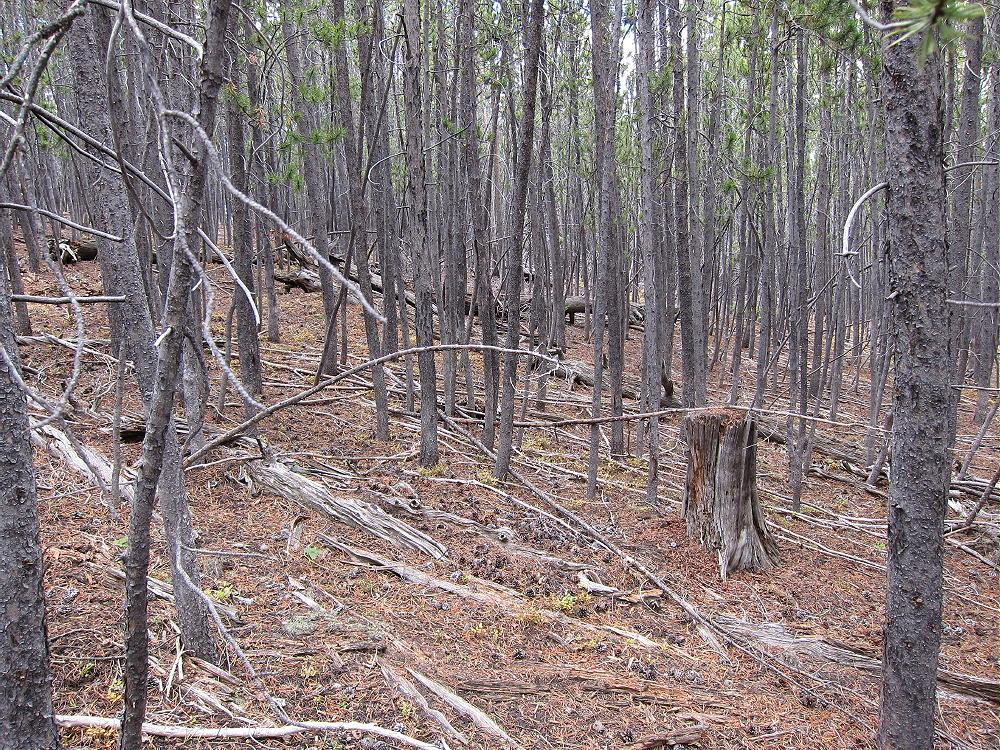
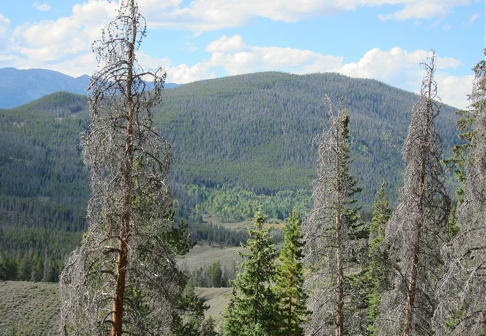
    The large Activation Zone is open forest, with plenty of trees for supporting a pole or a wire. It’s possible to set up in a sunny spot with some shelter from wind. There are partial views through the trees off the south side.
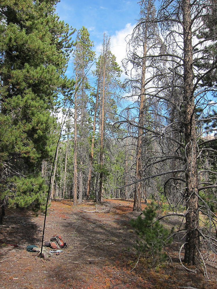
    Because there’s no development near the peak, the HF noise level is low. It’s a fine HF site – I made 40 contacts on 4 HF bands. VHF/UHF coverage probably is limited to the area around Breckenridge and Frisco.

    Peak 10450 is close to Swan Mountain W0C/PR-098, and the two mountains could be climbed in a long day for a dual activation.
    73

    George
    KX0R

    ATTENTION !! WARNING !! There are old mountaineers, and bold mountaineers… there are no old-bold mountaineers. Hiking and mountain climbing are potentially hazardous activities particularly in Colorado with its extreme elevations. I am not accepting responsibility for any death or injury resulting from activations based on my trip reports. Proper training, experience, and personal capability assessment is required – enjoy!
  • WØC/FR-195 (Raleigh Peak) – 2489 m / 8183 ft

    W0C/FR-195
    Raleigh Peak
    2489 m 8183 ft
    First Activation
    August 23, 2014

    By KX0R

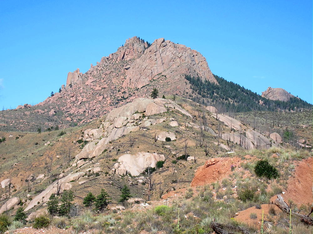
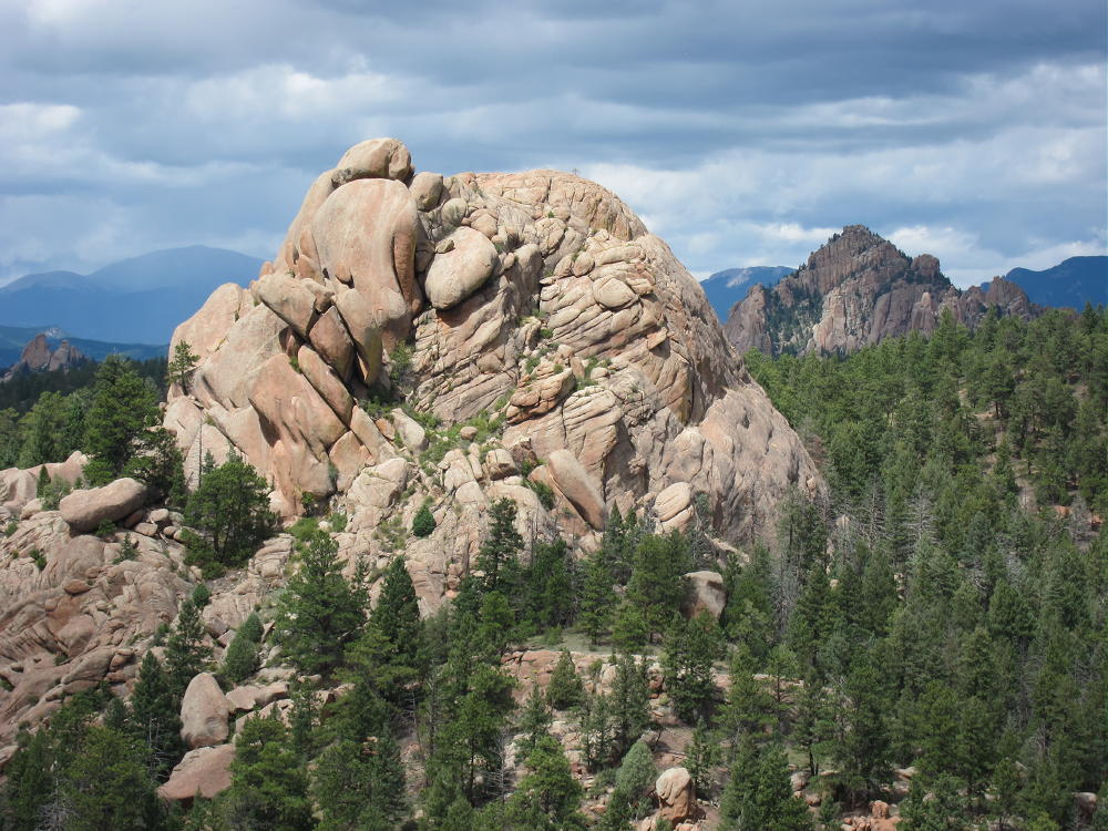
    Raleigh Peak is a distinctive, prominent summit located among many granite formations in the South Platte Canyon area near the town of Buffalo Creek. I first saw Raleigh from Devil’s Head, and it looked mystical and strange, sitting behind Long Scraggy Peak. I had a better look from Little Scraggy Peak – I knew I had to climb it. Activating this craggy outcrop was a challenging mini-adventure. It’s close and convenient to the Denver area!

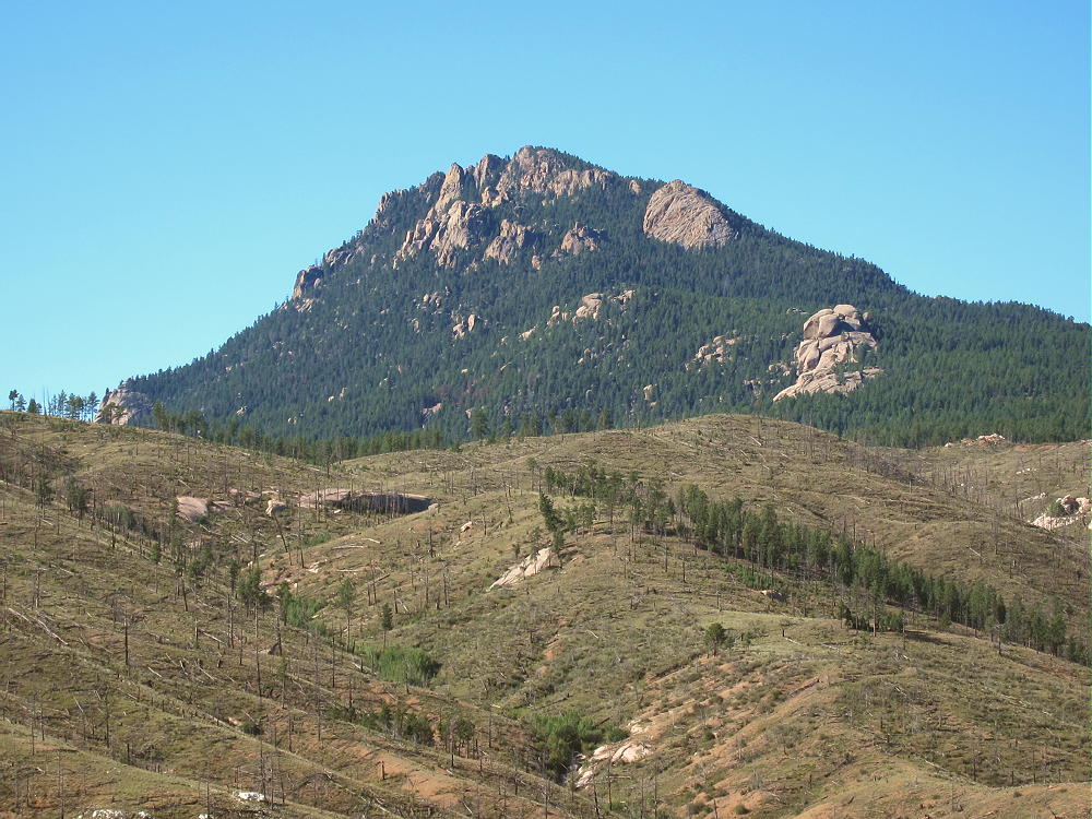
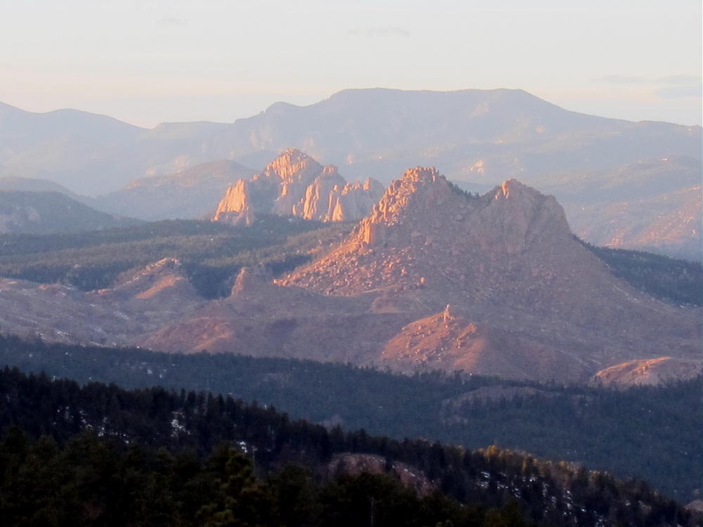
    Raleigh, Cathedral Spires, and Black Mountain
    Raleigh (Front), Cathedral Spires, and Black Mountain (Rear)

    The Colorado Trail provides access to the north side of the Peak. To reach the trailhead I used, start by driving up Highway 285 west of Denver to Conifer. On the south side of Conifer, look for road 97, South Foxton Road – exit right and go under Highway 285 and then southeast. Drive down 97 perhaps 7 or 8 miles to a junction with road 96 in the Canyon. Follow 96 southeast to the confluence of the North Fork and the main fork of the South Platte River. Follow the road, now 97, for about a half mile south of the bridge at the confluence; look for a large parking lot on the west side of the road. This is where the Colorado Trail descends the mountain to the east, crosses the road and the South Platte on a nice bridge, and ascends back up toward Raleigh Peak to the west. Park at the trailhead, pack plenty of water, cross the bridge over the River, hike a short distance south along the trail by the river, and then begin the steep climb up the switchbacks.

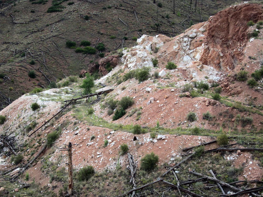
    The trailhead at the River is at about 6100 feet. The climb to the Raleigh summit is over 2000 vertical feet. After the first half-mile, at an old quartz mine near 6700 feet, the trail becomes less steep, and the hike is moderate for a long way after that.

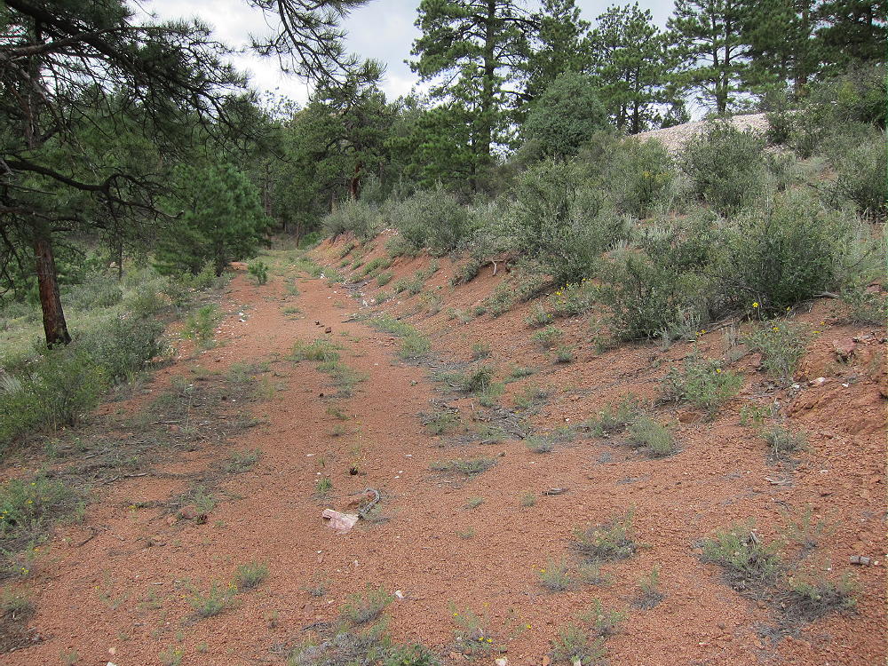
    Quartz Mine along the Colorado Trail
    Quartz Mine along the Colorado Trail

    Much of the region was burned up in the Buffalo Creek Fire. There are few live trees until you get close to the Peak, so there is little shade along the trail. This hike is best done on a cool day; you should probably go somewhere else during mid-summer. The burned landscape offers good visibility, route-finding is easy, and the views are impressive. The land is beginning to recover, and there are wildflowers among the charred logs.

    Follow the Colorado Trail up for about 2 miles along the north side of the ridge to about 7200 feet. There is an abandoned dirt road near the ridge-top that parallels the Colorado Trail, and this road leads to the gentle forested ridge north of Raleigh. At any convenient point, leave the Colorado Trail and follow the road up the ridge past a small quartz mine, and continue up toward the summit. The road fades away as the slope increases, but a path continues on up the north side of the Peak. If you miss this path, just head for the saddle between the Raleigh summit and the smaller peak to the east.

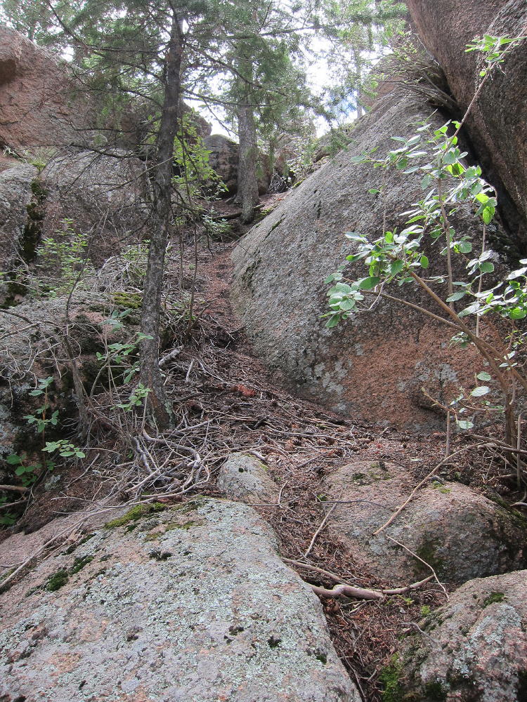
    Raleigh Peak is very steep on the east, south, and west sides. The least steep approach that I found is from a point northwest of the saddle and northeast of the Peak. This approach is a steep climb up a little gully that leads up to some rocks and ledges just below the summit.

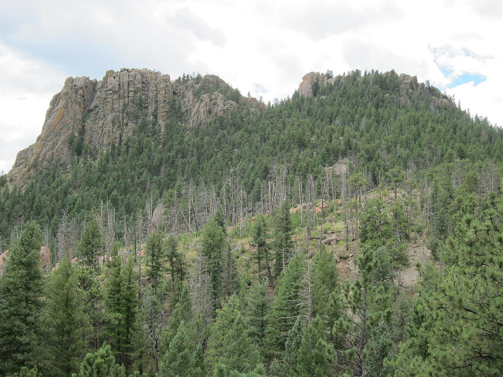
    Route to the Summit
    Route to the Summit

    Note that the saddle between Raleigh and its sister is below 8000 feet, and the Peak is at 8183 feet. About 100 feet of the climb is a steep slope, followed by an easier route over some rounded rocks and ledges with little exposure. It is not necessary to do anything worse than class 2 and 3 scrambling to get to the Activation Zone near the peak, and exposure is minimal – unless you try some other route. The actual summit is a large boulder, at least 15 feet high, and I did not attempt to climb it.

    The route that I used for the last part of the climb showed little wear from other climbers. It is possible that there are other ways up there that I did not find. With clouds gathering, I was in some hurry to activate the mountain, so I didn’t explore the top or around the sides for other routes.

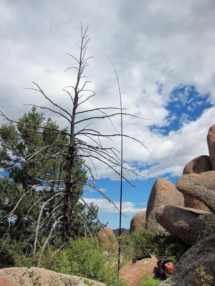
    There is plenty of room among the large summit outcrops to set up a comfortable activation. I set up just east of the summit, with my pole tied to a convenient tree, and I just ran my wire to another tree. The peak is so prominent that there is no point in worrying much about where to put the pole or the wire. There are many bushes and other plants, and thousands of harmless little flying insects as well. This is a weird summit for sure! It is much better for HF than for VHF/UHF, as it doesn’t have a clear view of much of the eastern Plains.

    Even though the summit is a relatively low SOTA peak, and the trail would be fun on a good winter day, the shadowy north side of Raleigh is probably snowy and icy in cold weather. I suspect that there are lots of ticks in the bushes in April and May. All things considered, it’s a good summit for a fall activation!

    It looks like there is a western approach to Raleigh via the Colorado Trail from Deckers Road 126. This requires much less vertical ascent than the eastern route up from the River; the horizontal distance is also less. Some online accounts mention that there is private land on the east side, but it should be possible to hike on the Colorado Trail and then climb up from the north side as I did.

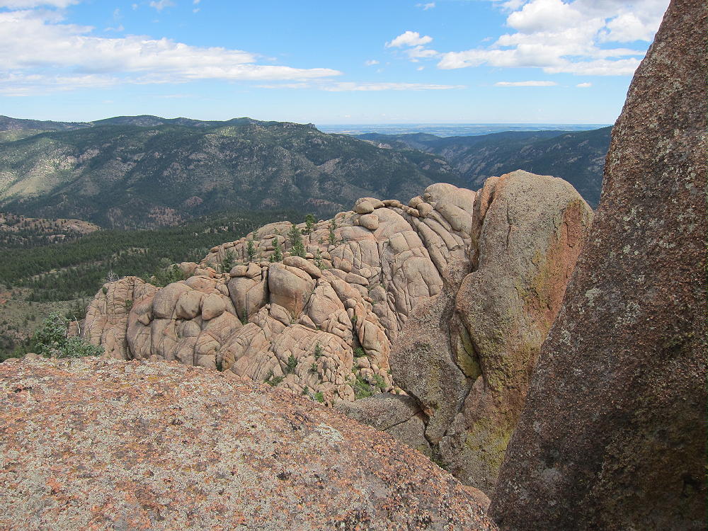
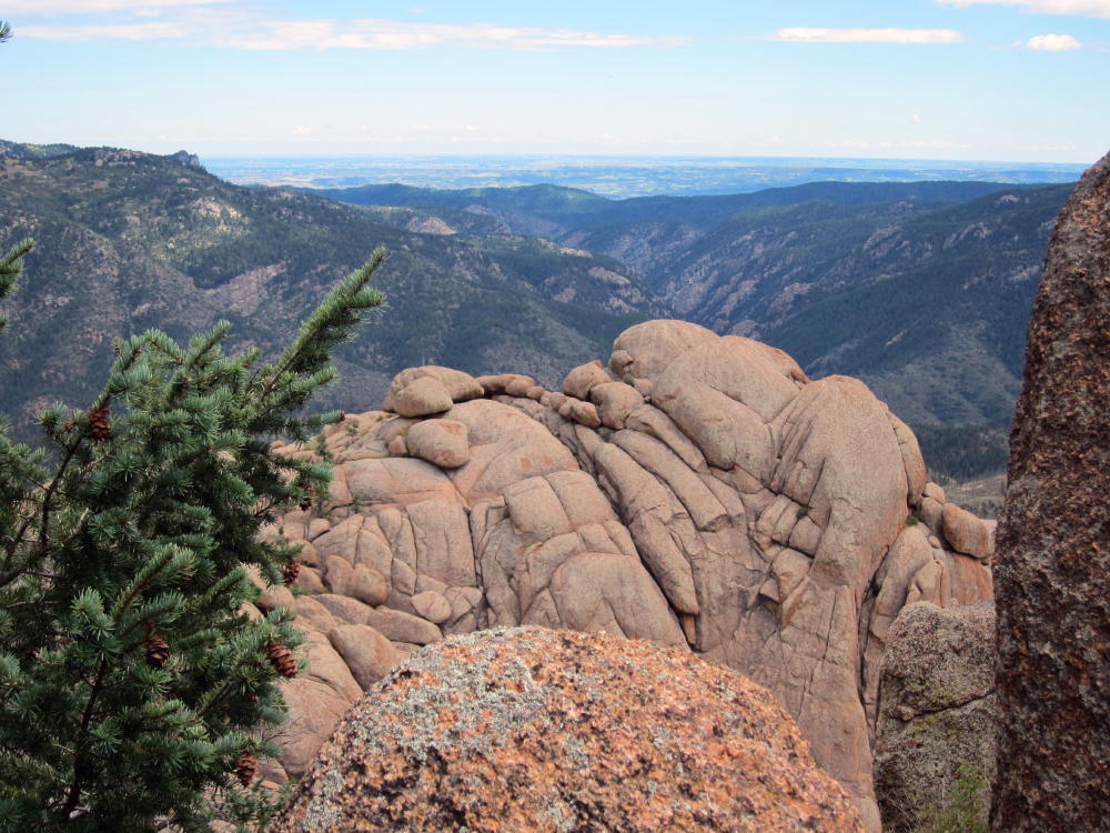
    No matter how you do it, Raleigh Peak provides an interesting 2-point activation. It’s a great place to view the South Platte Canyon country with its numerous granite outcrops and other weird rock formations.

    George Carey Fuller
    KX0R


    ATTENTION !! WARNING !! There are old mountaineers, and bold mountaineers… there are no old-bold mountaineers. Hiking and mountain climbing are potentially hazardous activities particularly in Colorado with its extreme elevations. I am not accepting responsibility for any death or injury resulting from activations based on my trip reports. Proper training, experience, and personal capability assessment is required – enjoy!