W7U/SU-058
Aztec Butte
1924 m / 6312 ft
Dec 02, 2015
Nov 27, 2016
By KX0R
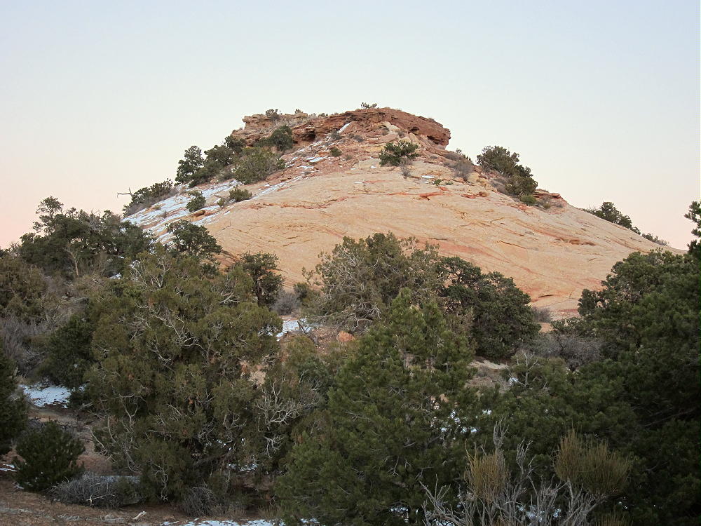
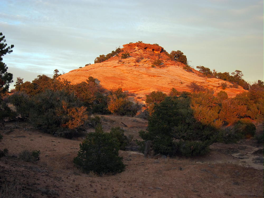
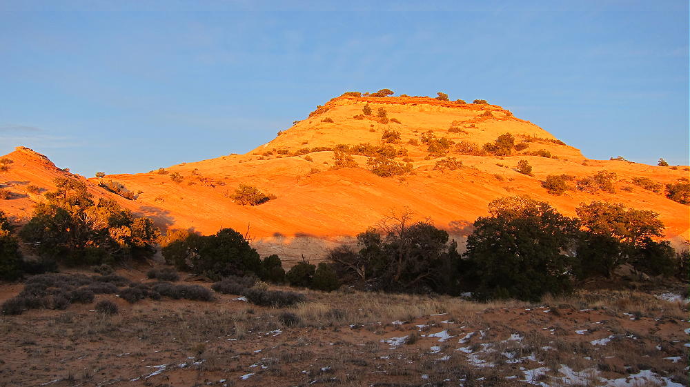
Aztec Butte is an interesting high desert summit in the northern part of Canyonlands National Park, near Moab, Utah.
Key Points:
• Canyonlands National Park
• Island in the Sky area
• Paved highway to the trailhead
• Marked trail to the top
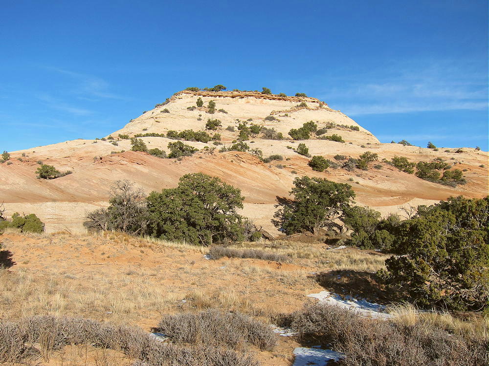
• Flat-topped mesa
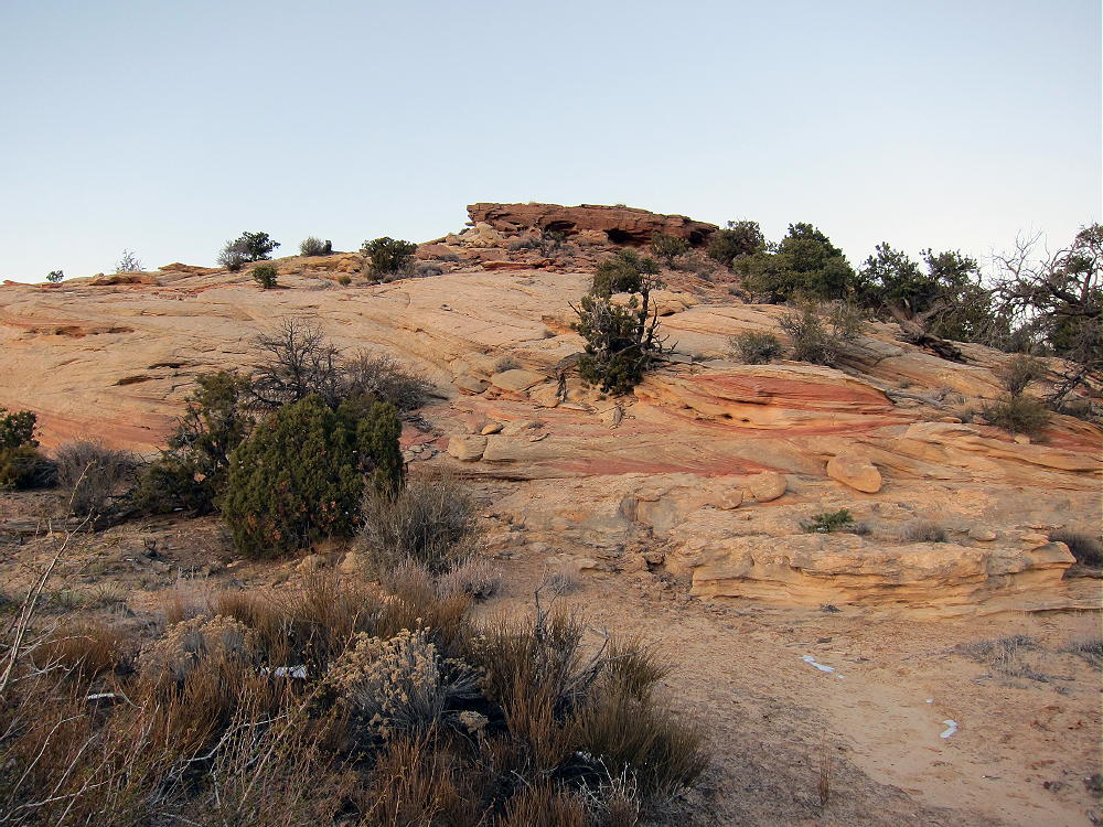
• Hike up Butte is on solid, sloping rock
• A few moves – careful, big steps – required to ascend the summit
• Superb HF site
• ~ 1.3 miles round trip
• ~ 200 vertical feet
Driving Directions:
• Drive north from Moab on Highway 191.
• Pass the entrance to Arches National Park
• Continue north about 6.5 miles
• Turn left, southwest, onto Highway 313.
• Drive up a canyon and across high mesa terrain.
• Follow the signs all the way to Canyonlands National Park.
• It’s about 21 miles from Highway 191 to the National Park.
• Pass through the Entrance Station – a fee may be required
• Continue south on Grand View Point Road about 6.3 miles
• Turn right, northwest, on a marked paved road toward Upheaval Dome.
• Drive 0.9 mile
• The signed trailhead for Aztec Butte is on the northeast side of the road
• Park in the large parking lot
The Hike:
• Please read the sign at the trailhead – there’s useful information.
• Shoes or boots with a good grip are required for safety
• Follow the trail toward Aztec Butte.
• This easy route passes a smaller southwestern butte on the left.
• Then the trail splits – but there’s no sign.
• Take the right fork and continue up toward the higher northeastern Butte.
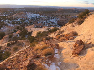
• Follow the cairns up the west corner of the Butte.
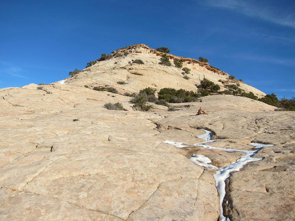
• Follow the cairns and continue across to the south corner.
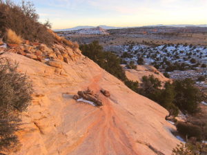
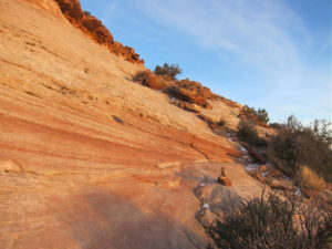
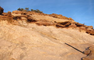
• The last part of the climb requires a few careful steps up the sandstone.
Additional Details:
The Butte is more than 1/2 mile from the trailhead, and it takes 15 to 20 minutes to climb to the summit.
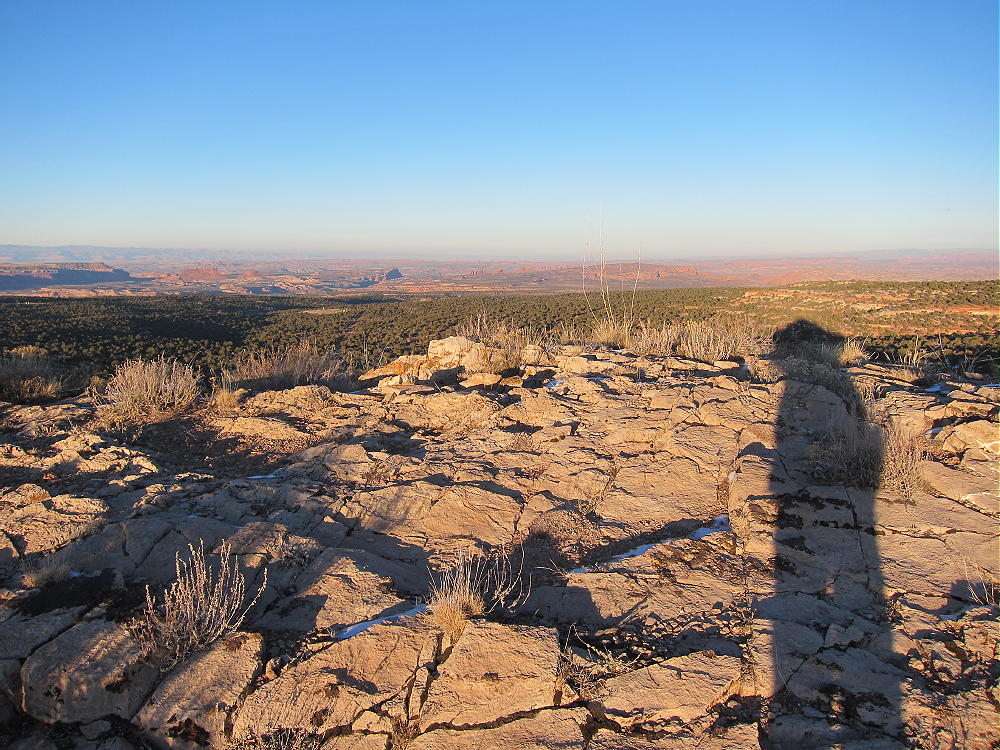
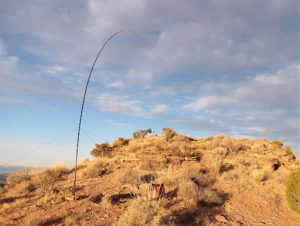
The large top of the Butte is delightful – it’s open and nearly flat, so it’s all in the Activation Zone. Some trees are available to support a pole or a wire. A scenic path leads all the way around the edge of the Butte, and there are views in all directions.
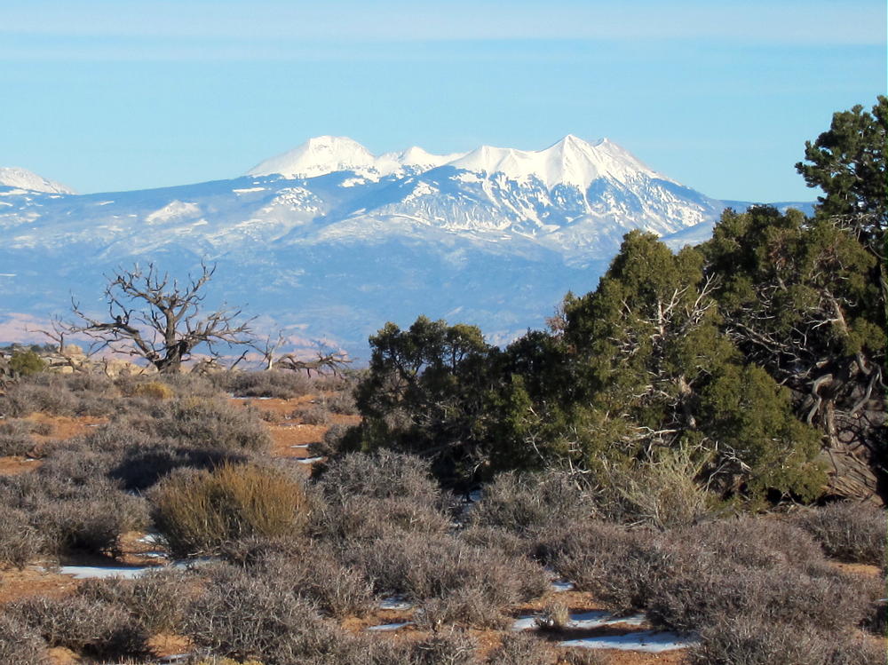
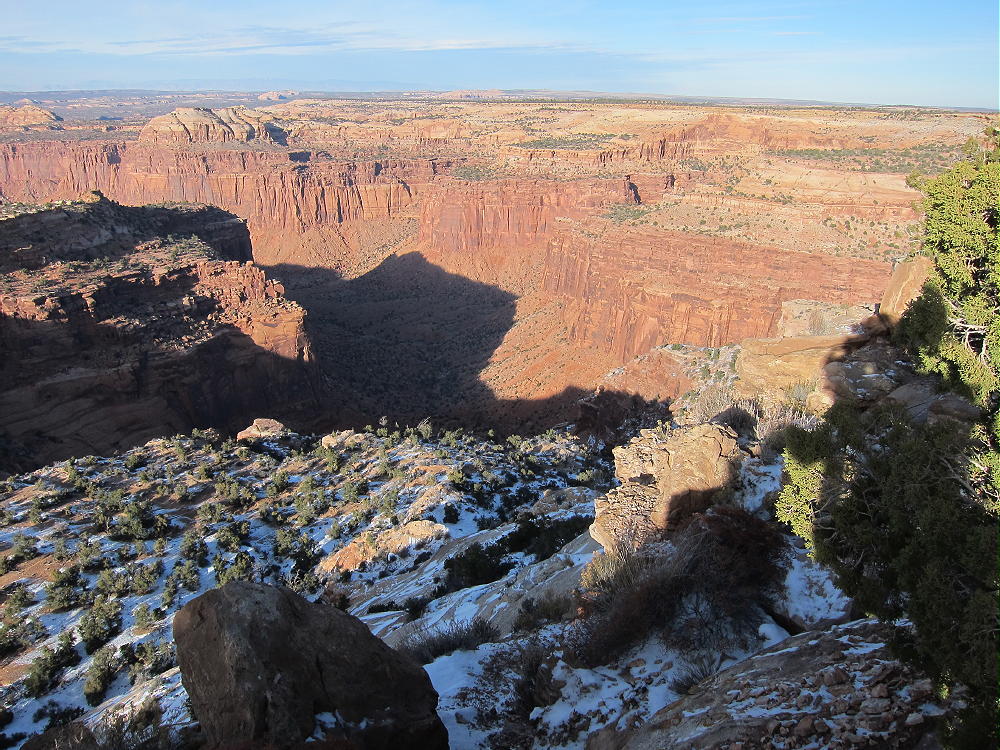
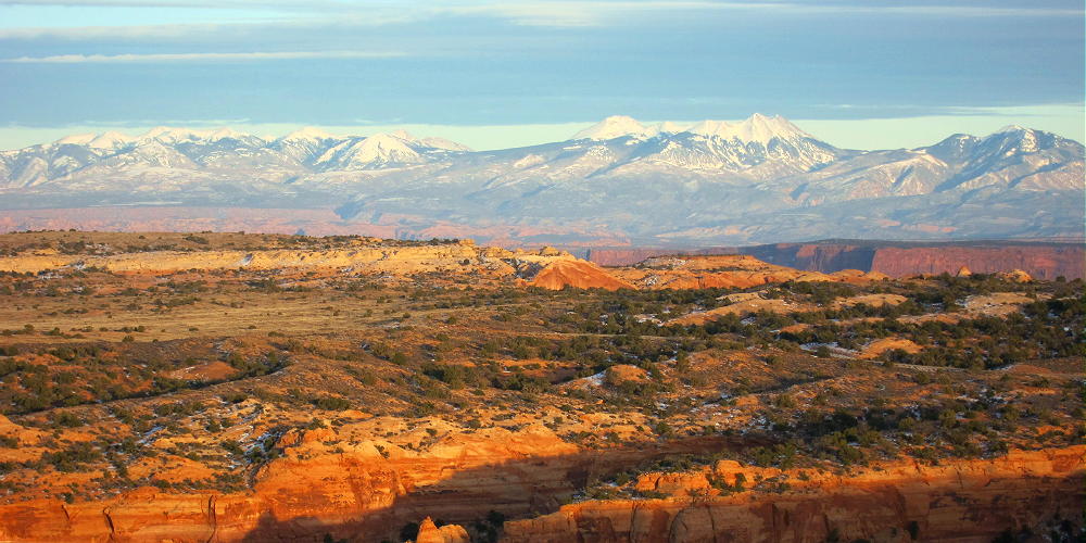
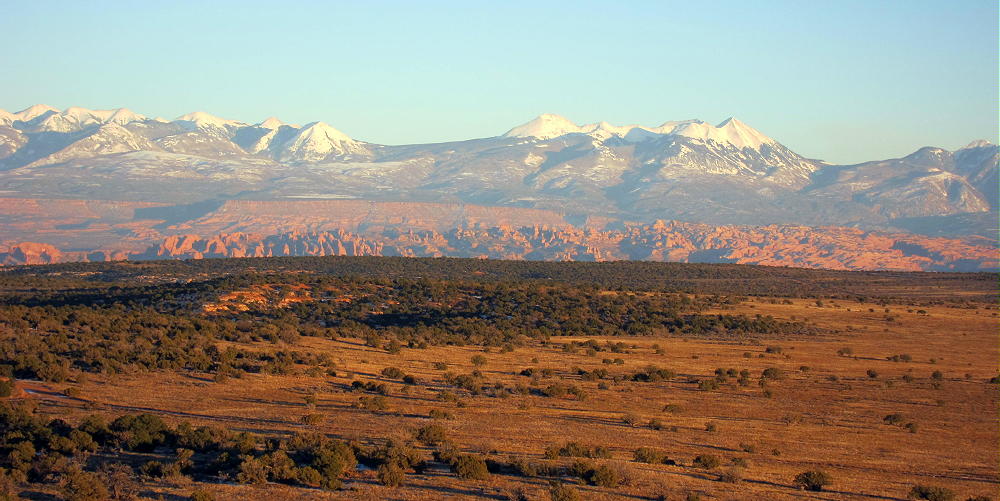
A deep canyon drops off the north side, but the Butte is surrounded by flat terrain at about 6100 feet elsewhere. It’s an ideal HF radio summit.
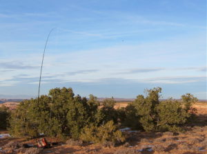
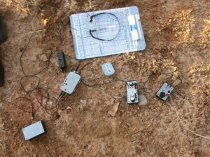
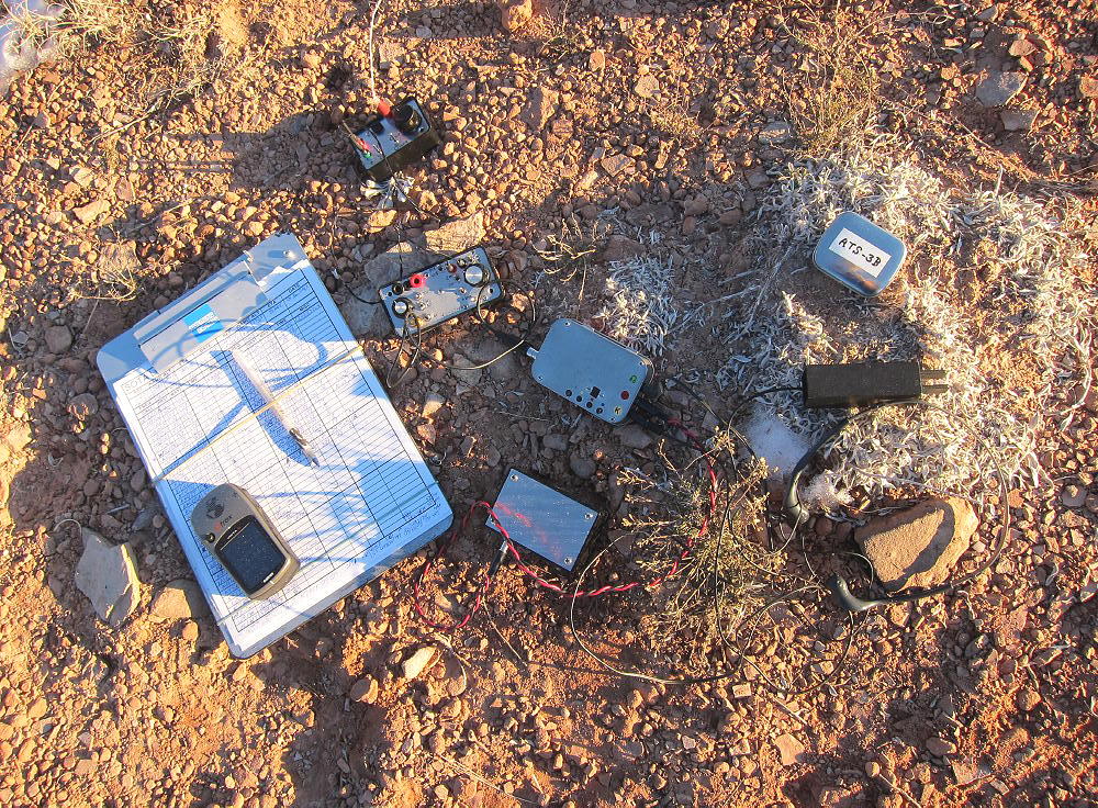
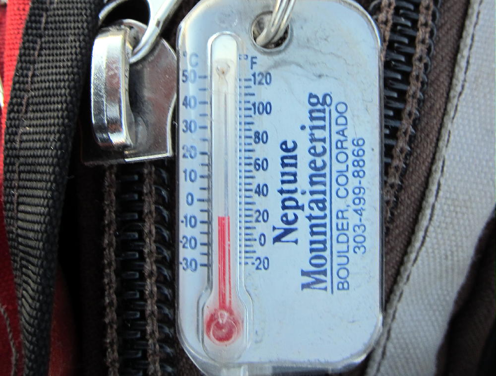
On Dec 2, 2015, it was a cold, sunny, winter afternoon, about an hour before sunset. My activation was fun, with 33 HF CW contacts on 40-30-20M in about 40 minutes.
On Nov 27, 2016, conditions were similar – I made 25 CW contacts on 40-30-20M.
Note that Aztec Butte qualifies for a winter bonus of 3 points Dec 1 – Mar 31.
Aztec Butte might not be so much fun during the middle part of the day in summer! There’s no longer a summer bonus on this peak.
The Knoll W7U/GR-031 is located near Highway 313, about 12 miles north of Aztec Butte, so it’s possible to combine these summits for a dual activation.
There are many spectacular attractions in this part of Canyonlands National Park, including Upheaval Dome, Grandview Point, Mesa Arch, etc.
73
George
KX0R
 !! WARNING !! There are old mountaineers, and
bold mountaineers… there are no old-bold mountaineers.
Hiking and mountain climbing are potentially hazardous activities particularly in Colorado with its extreme elevations. I am not accepting responsibility for any death or injury resulting from activations based on my trip reports. Proper training, experience, and personal capability assessment is required – enjoy!
!! WARNING !! There are old mountaineers, and
bold mountaineers… there are no old-bold mountaineers.
Hiking and mountain climbing are potentially hazardous activities particularly in Colorado with its extreme elevations. I am not accepting responsibility for any death or injury resulting from activations based on my trip reports. Proper training, experience, and personal capability assessment is required – enjoy!