W0C/FR-080
Sheep Mountain
2576m / 8450 ft
Oct 7, 2015
Sep 29, 2016
By KX0R
Key points:
• City of Loveland and Roosevelt National Forest
• Good maintained trail to the top
• Easily accessible trailhead – eventually – closed now – see below!!
• Moderate hike with considerable elevation gain
• Beautiful trip through varied terrain
• Plenty of wildlife
• Pleasant forested summit with no fire damage
• Starting elevation ~ 5770 feet
• ~ 9.4 miles round trip
• ~ 2800 total vertical feet of gain
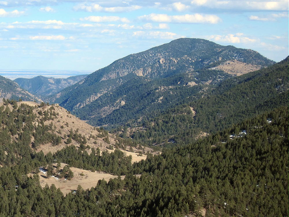
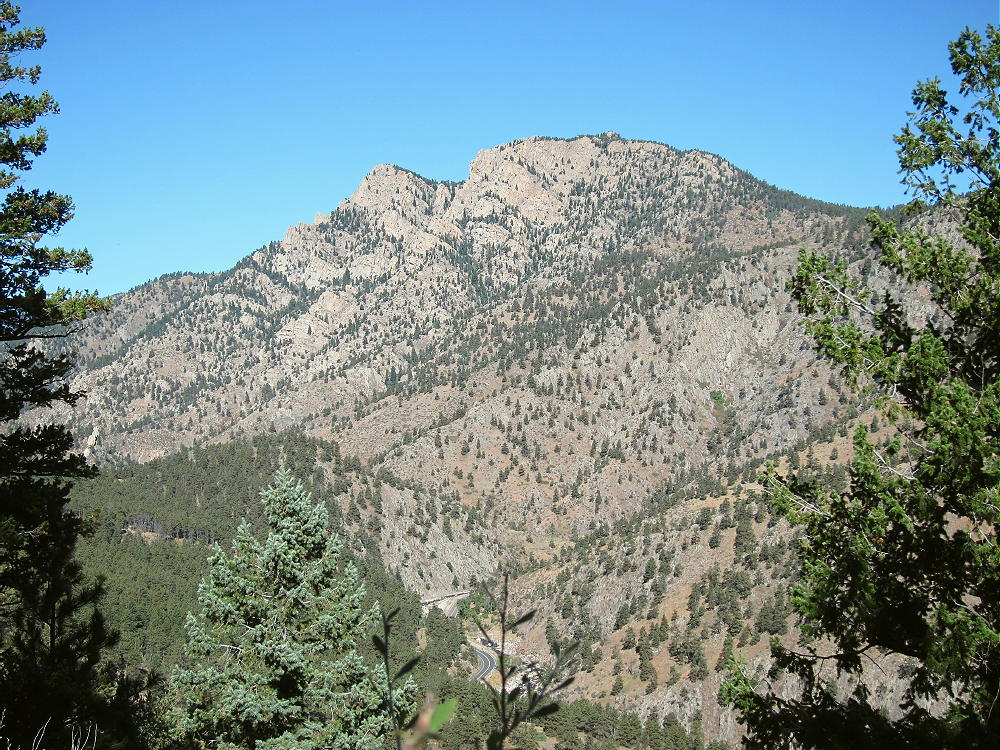
There are many “Sheep Mountains” in Colorado. Sheep Mountain W0C/FR-080 is a prominent summit on the south side of the Big Thompson Canyon, west of Loveland, Colorado. It’s about 2 miles from Palisade Mountain W0C/FR-084, across the canyon.
Thanks to Brian N0BCB for first activating W0C/FR-080. This aroused my curiosity about the big mountain. When I first looked at the Google map, I assumed that there was no trail. Eventually I learned otherwise…
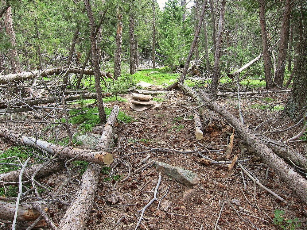
The USFS Round Mountain Trail # 969 leads all the way to the summit of Sheep Mountain. This is a National Recreation Trail; it was built mostly by the CCC in the 1930’s. The upper part is called the Summit Adventure Trail. This is a well-maintained hiking trail with excellent access; the USFS says use is light.
Driving Directions:
• Drive several miles west of Loveland on Highway 34.
• The trailhead is about 4 miles west of the Dam Store
• In the canyon, pass the closed entrance to the Loveland Viestenz-Smith Mountain Park on the right
• Look on the left for a sign
• Immediately turn left onto a marked dirt road leading into the parking area
• There’s space for about 20 cars
• Parking is free
*** In 2017 the Big Thompson Canyon Highway 34, including the area near this trailhead, is closed due to highway re-construction. Check online before going up there!!
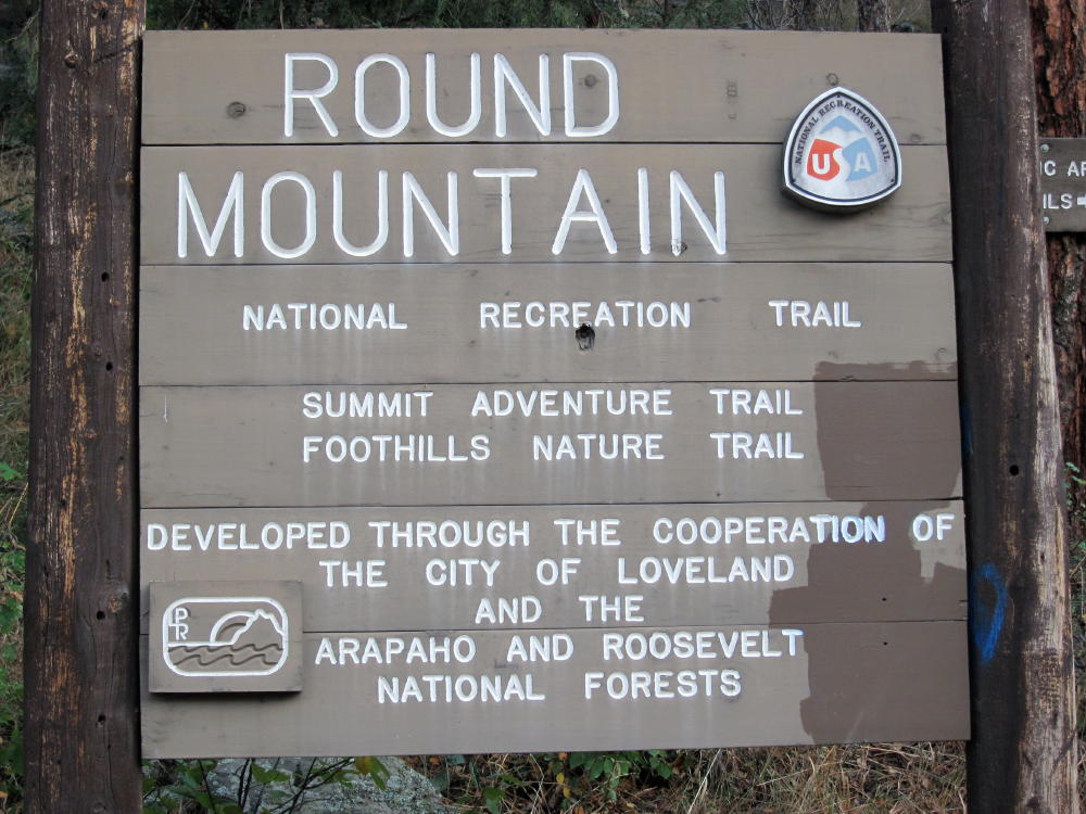
This trailhead isn’t labeled on Google Maps, and the Round Mountain Trail is not shown at all!
The Hike:
• Start up the trail on the Foothills Nature Trail, which is property of Loveland.
• After ¼ mile, the Round Mountain Trail splits off to the left at a sign.
• At first the trail climbs gently east, across a steep, north-facing slope
• Then it climbs progressively up the northeast ridge of Sheep Mountain.
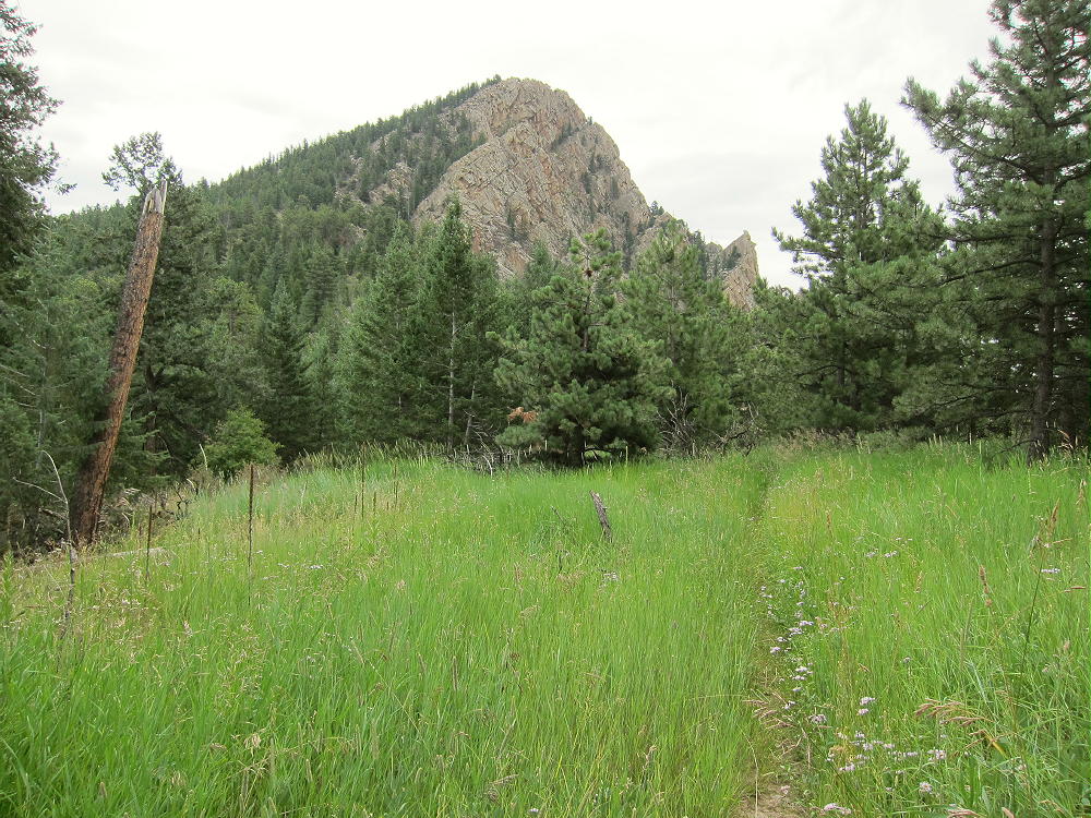
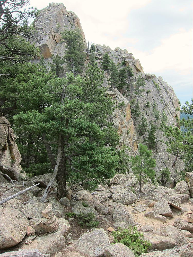
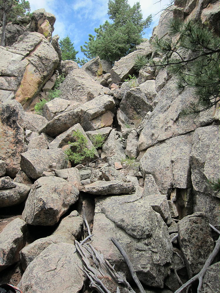
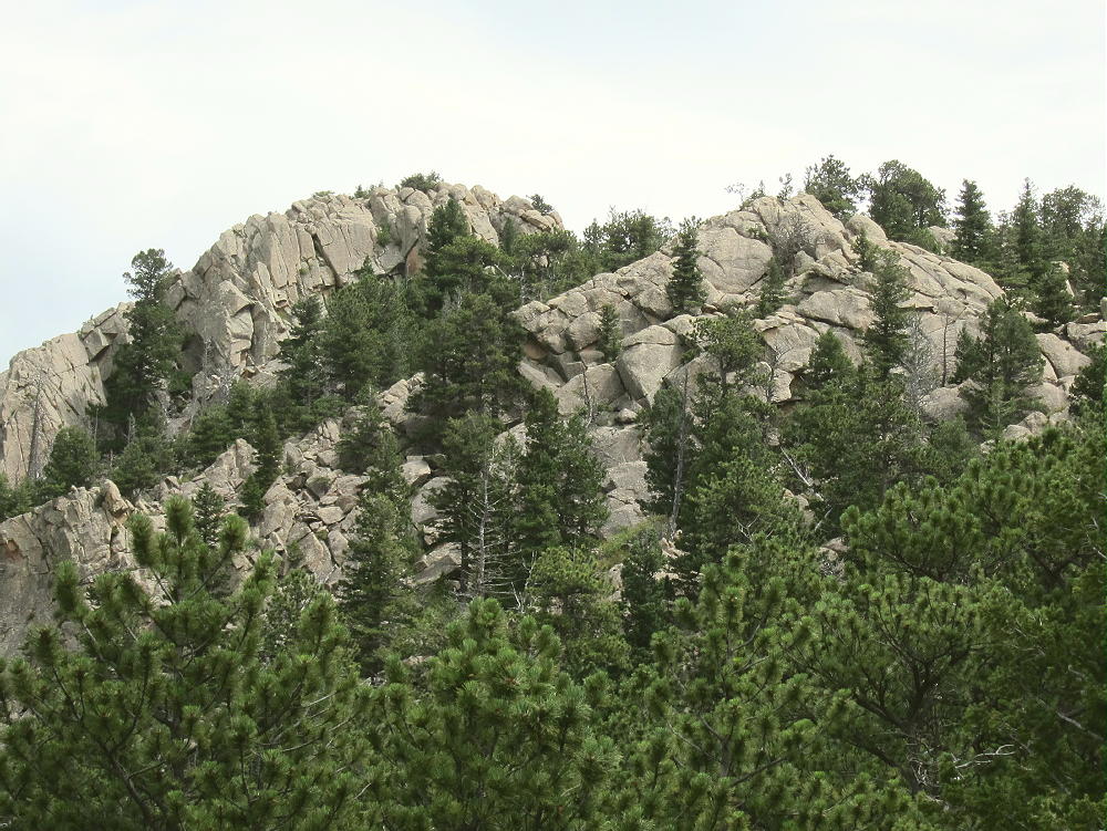
• The route leads southwest through some interesting rock formations
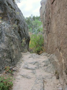
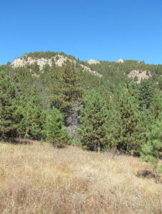
• At 7380 feet, it turns south and contours into a pleasant valley
• The path ascends the head of the valley to the saddle southeast of Sheep Mountain
• From the saddle, the trail climbs 1000 vertical feet, up several switchbacks to the summit.
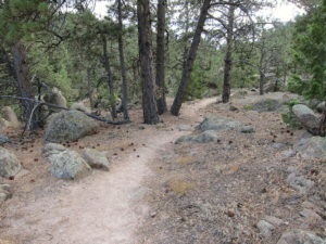
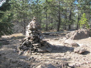
The only water on the trail is a spring along the trail in the valley, at about 7370 feet. There’s a warning there that the water must be treated to be safe to drink. Carry enough water, or use a pump-filter or other means to purify the available water.
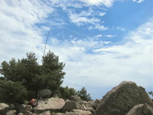
The forested summit is large and relatively flat – the Activation Zone is spacious! There are plenty of pine trees for supporting a pole or a wire. I set up my gear about 100 feet north of the summit, in a pleasant spot at the edge of a small meadow. It was quiet, and I saw no one while I was up there.
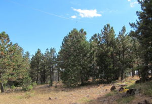
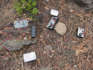
There’s no development or radio equipment on the mountain. Sheep Mountain is an ideal radio site, with no close sources of RF noise, and it’s not blocked by any higher mountains nearby. This peak has pretty good UHF/VHF coverage of much of the greater Denver metro area, as well other cities along the northern Front Range.
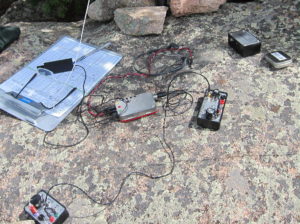
My HF SOTA activations on Sheep Mountain have been easy and fun! With an ATS-3B radio, an end-fed wire, and only 5 watts output:
October 7, 2015, I spent more than an hour on the air, and I logged 25 CW contacts on 7, 10, 14, and 18 MHz. This session included one summit-to-summit (S2S) contact.
September 29, 2016, I logged 44 CW contacts on 7, 10, and 14 MHz. This session included two S2S contacts.
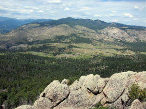
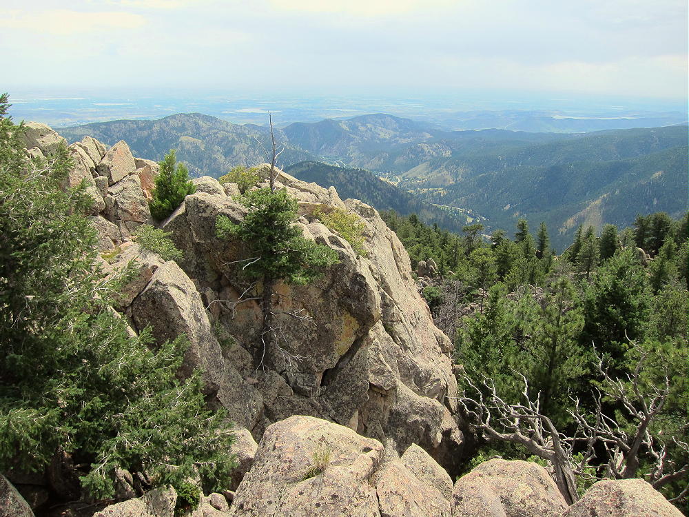
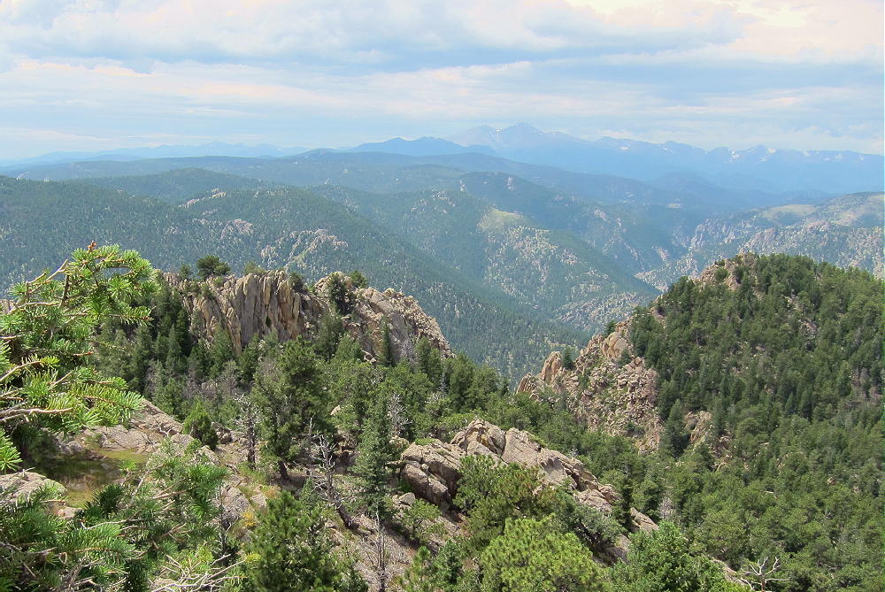
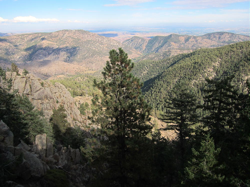
Later I enjoyed exploring the top of the mountain and looking for views. This forested peak has no wide vistas, but dramatic views can be found at nearby crags.
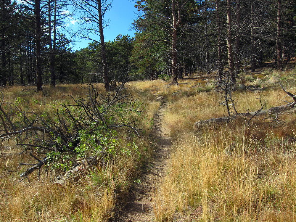
Even though the USFS classifies the Round Mountain Trail as “most difficult”, this is a relative rating. It’s a moderately stiff trail, and it might be better to skip it on a hot day – or start really early. This is a fine climb for experienced hikers with light gear, but it might be arduous for those not used to the altitude, or carrying too much weight. It’s also too long for a good family hike. Unless you’re a SOTA activator, the summit’s slightly disappointing. I thought the hike was really nice in early October!
Other SOTA peaks are near Sheep Mountain:
W0C/FR-084 Palisade Mountain 2 miles north, across the canyon
W0C/FR-192 8310 2 miles west
W0C/FR-103 Alexander Mountain 3-1/2 miles east
W0C/FR-057 Crosier Mountain 6 miles west
W0C/FR-064 West Crosier 7 miles west
Of these, Palisade is the easiest peak to combine with Sheep Mountain for a dual activation.
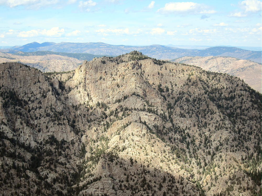
Sheep Mountain is a fine SOTA peak with a convenient trailhead. Activators who like to hike with light equipment will enjoy this peak. This is another Colorado two-point summit that comes with lots of exercise and few hassles.
73
George
KX0R
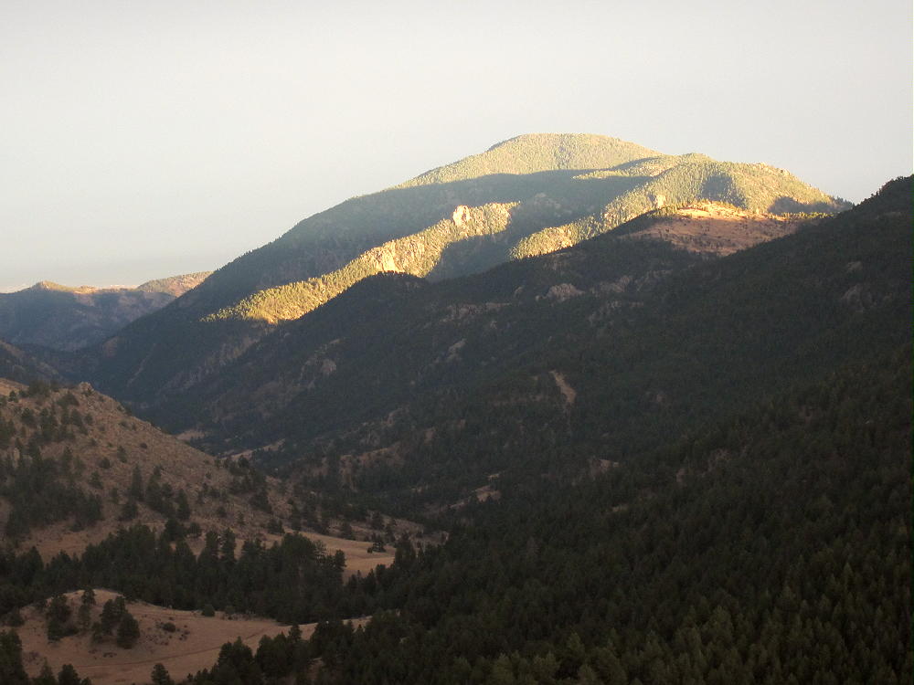
 !! WARNING !! There are old mountaineers, and
bold mountaineers… there are no old-bold mountaineers.
Hiking and mountain climbing are potentially hazardous activities particularly in Colorado with its extreme elevations. I am not accepting responsibility for any death or injury resulting from activations based on my trip reports. Proper training, experience, and personal capability assessment is required – enjoy!
!! WARNING !! There are old mountaineers, and
bold mountaineers… there are no old-bold mountaineers.
Hiking and mountain climbing are potentially hazardous activities particularly in Colorado with its extreme elevations. I am not accepting responsibility for any death or injury resulting from activations based on my trip reports. Proper training, experience, and personal capability assessment is required – enjoy!