SOTA outings by KØMOS and contributors

Tag: bald mountain

  • W0C/SP-030 (Boreas Mountain) – 3987 m / 13,082 ft

    W0C/SP-030
    Boreas Mountain
    3987 m / 13,082 ft
    Aug 1, 2016

    By KX0R

    Boreas Mountain is a challenging alpine summit near Boreas Pass, south of Breckenridge.

    Pike National Forest
    • High altitude hike
    • No marked trail to the summit
    • Route follows the Continental Divide part way
    • Fine alpine scenery
    • Excellent HF site
    • 3.3 miles round-trip
    • ~1550 vertical feet total
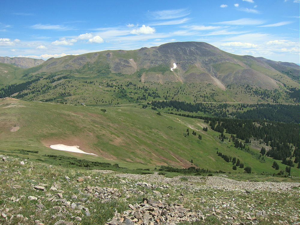
    Driving access:

    • Drive west on Highway 285 and cross Kenosha Pass
    • Continue west on Highway 285 about 10 miles
    • Turn north on CR 33 and drive about ½ mile to Como
    • Pass through Como and drive up CR 33 about 9 miles to Boreas Pass at 11482 feet
    • The route follows a historic narrow gage rail line and continues all the way across to Breckenridge
    • CR 33 is an OK unpaved road, with several rough, rocky sections, but most cars can make the trip along the railway roadbed
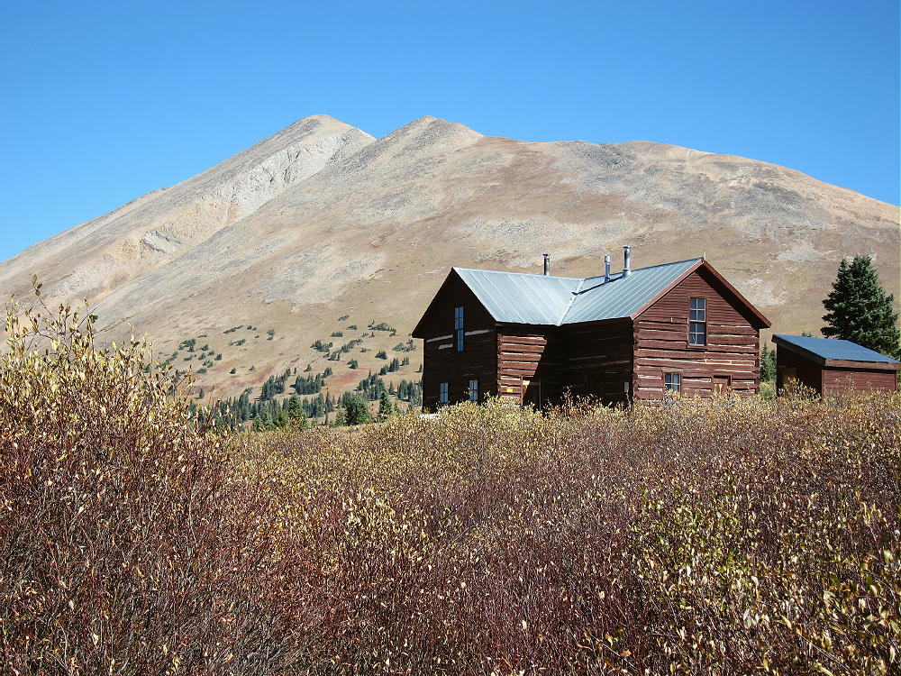
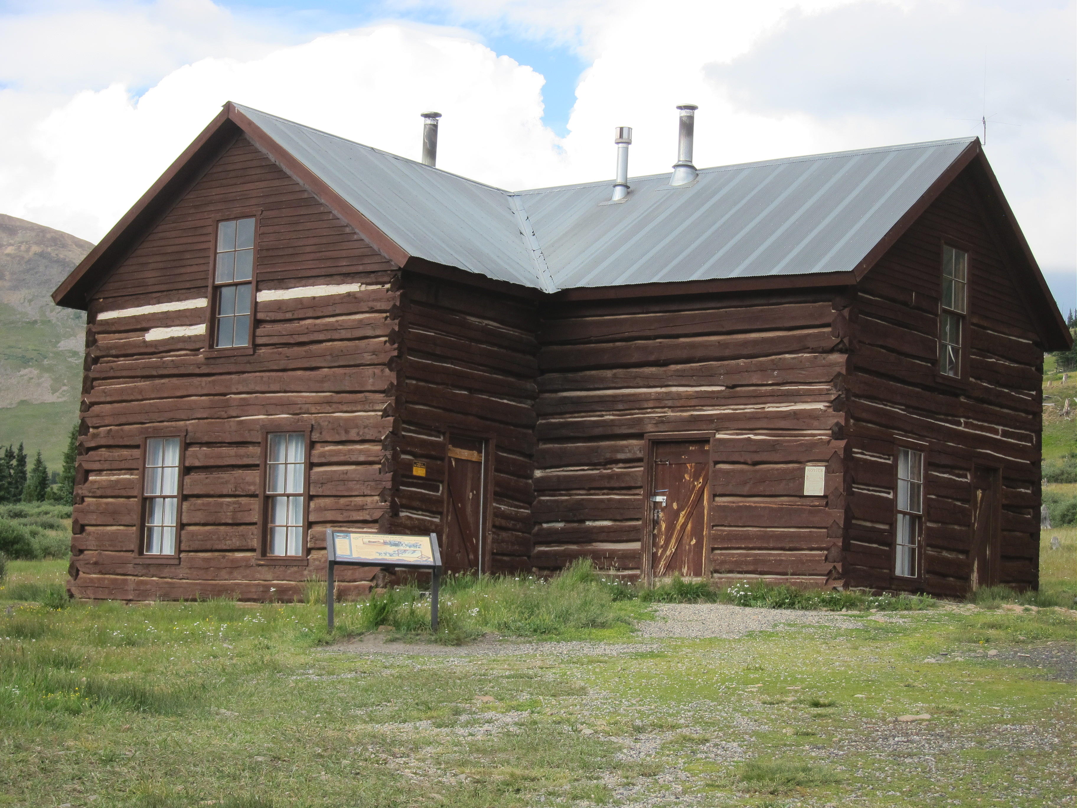
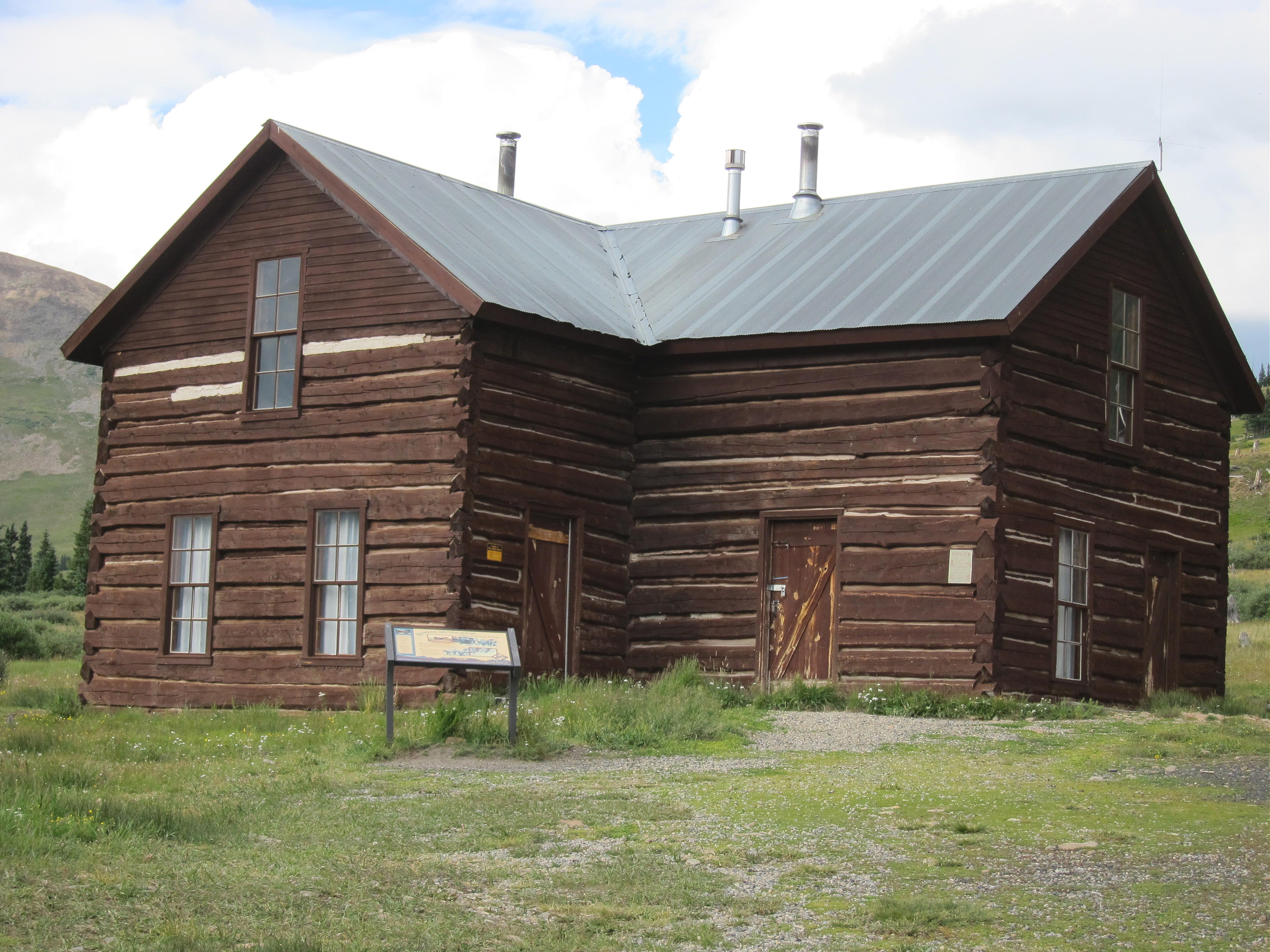
    • Park off the road at Boreas Pass, near the old Section House
    • This is the trailhead
    The hike and climb:

    • Google Maps shows none of the hiking trails near Boreas Pass
    • GPS is very useful in this area
    • Hike east from the Section House up through meadows toward the north ridge of Boreas Mountain
    • This route follows the Continental Divide
    • At about 12,000 feet the grade becomes steep
    • Follow game trails up through the rocky tundra toward the north sub-peak
    • Avoid the obvious talus slopes – stay in the green area
    • Pass southwest below a small sub-peak
    • At about 12,600 feet, traverse southeast up toward the summit ridge
    • Head south up a long, shallow valley west of the summit ridge
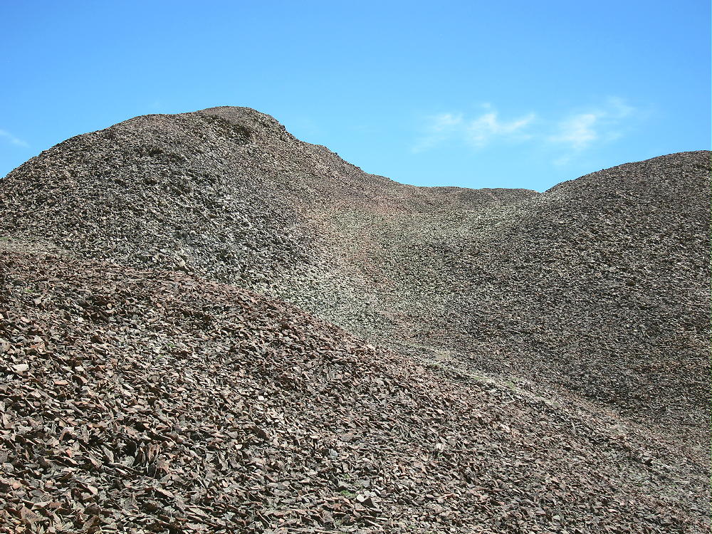

    • Follow convenient old trails in the rocks
    • The summit is the highest bump near the south end of the rocky summit ridge
    • Climb up the rock pile to the top
    • There’s a convenient wind shelter on the peak
    Additional Details:

    Not many people climb Boreas Mountain. The off-trail route up to the ridge is steep and rocky. There are a few game trails that lead up through the tundra. The hike gets easier toward the top – the hike up the shallow valley is pleasant. The old trails may date from the mining days, but I didn’t see much evidence of mines up there.

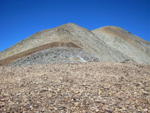
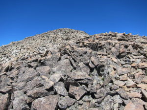
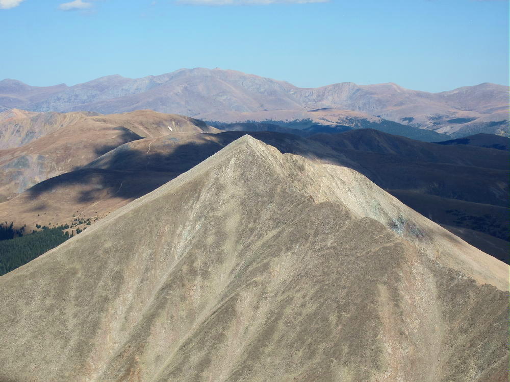
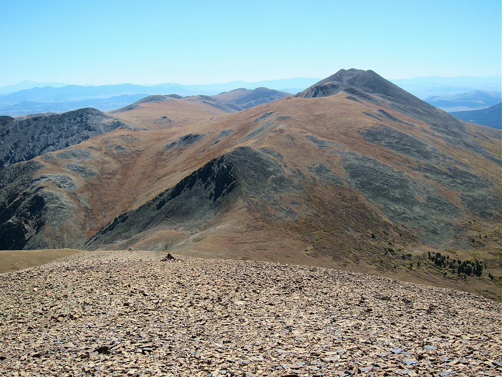
    The entire summit ridge appears to be made of reddish intrusive igneous rock. It makes almost musical tones, like pieces of ceramic, as you hike over it. Most of the top part of the mountain looks like a giant rock pile. The peak is about ½ mile south of the Divide.
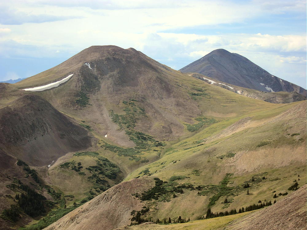
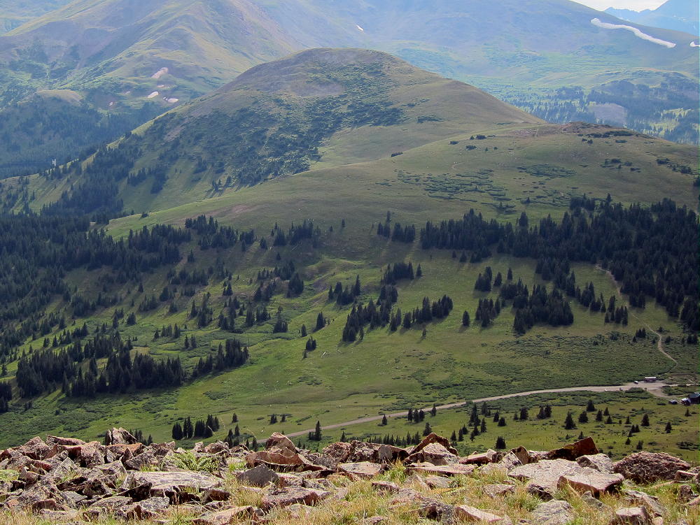
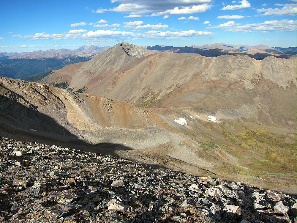
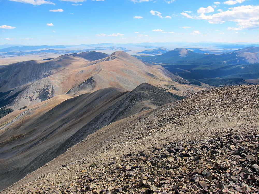
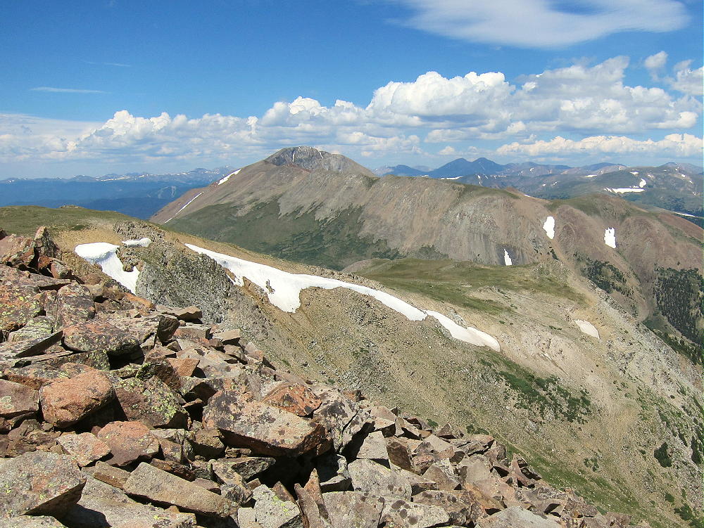
    The summit offers great views of the surrounding peaks and most of South Park below. Bald Mountain stands much higher to the north, and Mount Guyot looks cool with its cliffs in the northeast. The views along the Divide to the southwest are interesting – Red Peak, Hoosier Ridge, Mount Silverheels, etc.
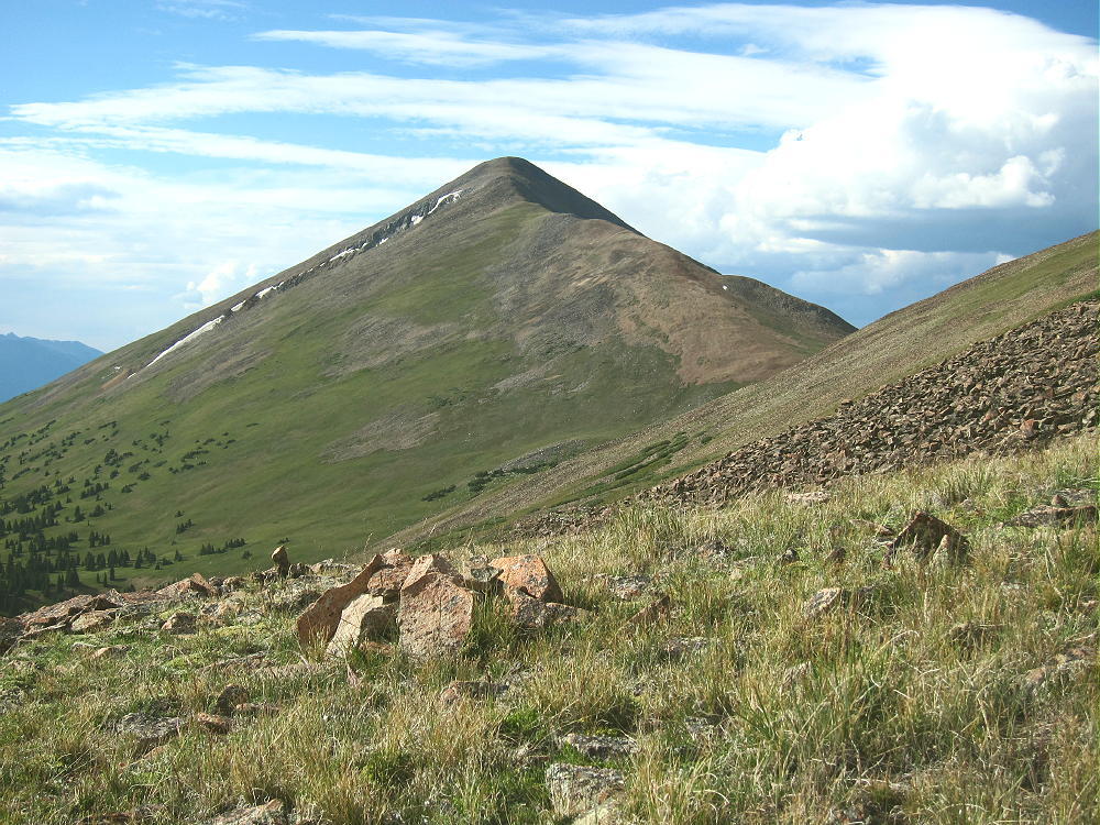
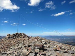
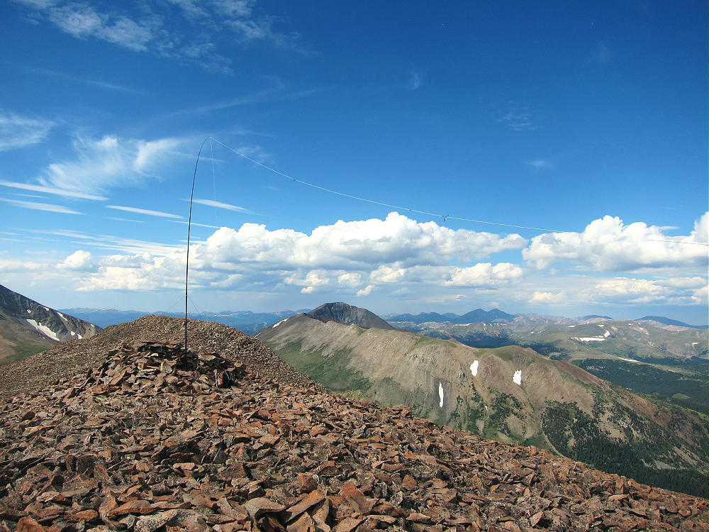
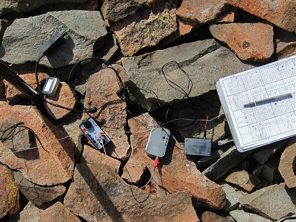
    Boreas Mountain is a fine HF summit. It falls away in all directions, and the noise level is very low. My end-fed wire worked well on top – 34 CW contacts on 4 HF bands. Partly surrounded by higher mountains, this peak is likely a poor VHF/UHF summit, with coverage limited to parts of South Park and the area near Breckenridge.
    It might be practical to climb Boreas Mountain’s north ridge via the trail from the Section House to Black Powder Pass, but I haven’t done that. The ascent up the north ridge from the Pass is partly through talus, but there might be a game trail(s) up through it.
    For a dual activation, consider these nearby summits:

    Madonna Dome  W0C/SP-051   Easy – access from Boreas Pass
    Bald Mountain     W0C/PR-019   Very challenging – access from Boreas Pass
    Volz Benchmark  W0C/SP-046  Challenging – access from CR 33

    73

    George Carey Fuller
    KX0R

    ATTENTION !! WARNING !! There are old mountaineers, and bold mountaineers… there are no old-bold mountaineers. Hiking and mountain climbing are potentially hazardous activities particularly in Colorado with its extreme elevations. I am not accepting responsibility for any death or injury resulting from activations based on my trip reports. Proper training, experience, and personal capability assessment is required – enjoy!
  • W0C/SP-051 (Madonna Dome) – 3759 m / 12331 ft

    W0C/SP-051
    Madonna Dome
    3759 m / 12331 ft
    First Activation
    Aug 1, 2016

    By KX0R

    Madonna Dome is a fun, relatively easy alpine summit near Boreas Pass, south of Breckenridge.

    Pike National Forest
    • High altitude hike
    • No marked trail to the summit
    • Route follows the Continental Divide
    • Fine alpine scenery
    • Excellent HF site
    • 2.5 miles round-trip
    • ~1000 vertical feet total

    Driving Directions:

    • Drive west on Highway 285 and cross Kenosha Pass.
    • Continue west on Highway 285 about 10 miles.
    • Turn north on CR 33 and drive about ½ mile to Como.
    • Pass through Como and drive up CR 33 about 9 miles to Boreas Pass at 11482 feet.
    • The route follows a historic narrow gauge rail line and continues all the way across to Breckenridge.
    • CR 33 is an OK unpaved road, with several rough, rocky sections, but most cars can make the trip along the railway roadbed.
    • Park off the road at Boreas Pass, near the old Section House.


    • This is the trailhead.
    • Boreas Pass also can be reached from the north, via I-70, Highway 9, and Breckenridge.

    The Hike and Climb:

    • Google Maps show none of the hiking trails near Boreas Pass.
    • GPS is very useful in this area.
    • The hike begins just to the right of and behind the C&S rail car at the Pass.
    • The route follows the Continental Divide all the way.
    • Hike southwest through willows along an unmarked road through a relatively flat area.
    • Follow the old road through some trees and up a large hill.
    • Continue up the road and across a small summit near 12,000 feet.
    • Descend southwest about 100 vertical feet to a saddle.
    • There’s an old mine part way down the hill.
    • Continue southwest up the next tundra ridge for about 1/3 miles and 400 vertical feet to Madonna Dome.
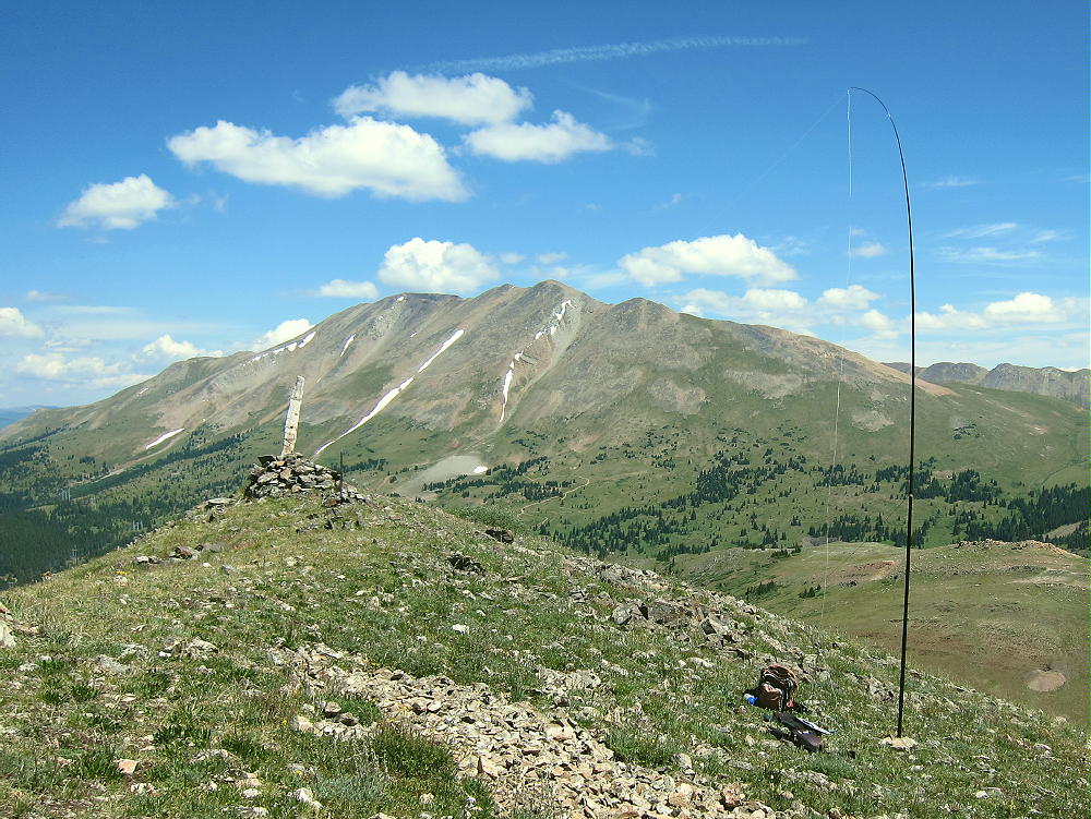
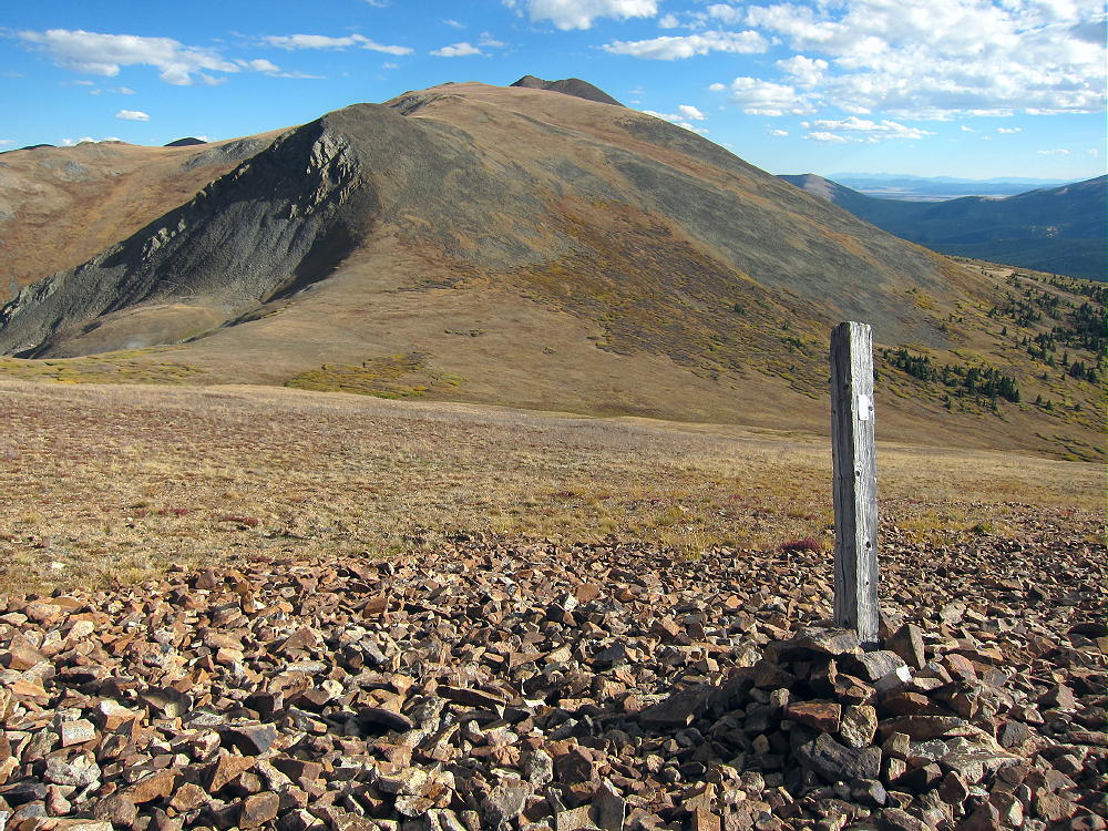
    • A cairn with a post marks the summit.

    Additional Details:

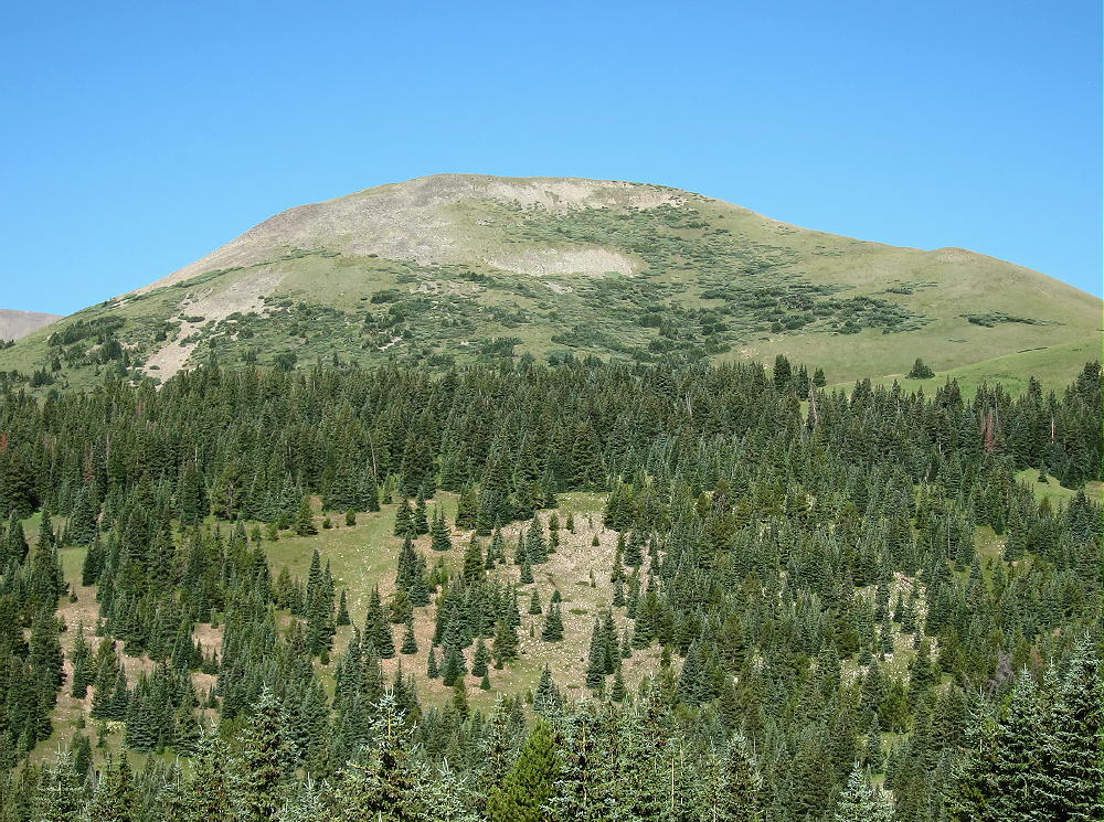
    Although Madonna Dome is easily climbed from Boreas Pass, few people visit this prominent, pleasant peak.

    The summit offers great views of several higher peaks and parts of South Park below. Broad Boreas Mountain stands east of the Pass, and Bald Mountain stands much higher to the north.

    The views along the Divide to the southwest are interesting – Red Peak, Hoosier Ridge, and Mount Silverheels.

    I set up my radio gear slightly below the summit ridge to escape the breeze. There are no trees, so I guyed my pole to some rocks. I ran the wire to the post at the summit cairn. I had a fun SOTA activation, with 37 CW contacts on four HF bands.

    Madonna Dome is a fine HF summit. It falls away in all directions, and the noise level is very low. Almost no development is visible nearby. A power line runs across the Divide on the west side, but it’s relatively quiet. This peak is likely a poor VHF/UHF summit, with coverage limited to parts of South Park and the area near Breckenridge.

    For a dual activation, consider these high summits nearby:

    Boreas Mountain W0C/SP-030 Challenging – access from Boreas Pass
    Volz Benchmark W0C/SP-046 Challenging – access from CR 33

    73

    George
    KX0R


    ATTENTION !! WARNING !! There are old mountaineers, and bold mountaineers… there are no old-bold mountaineers. Hiking and mountain climbing are potentially hazardous activities particularly in Colorado with its extreme elevations. I am not accepting responsibility for any death or injury resulting from activations based on my trip reports. Proper training, experience, and personal capability assessment is required – enjoy!
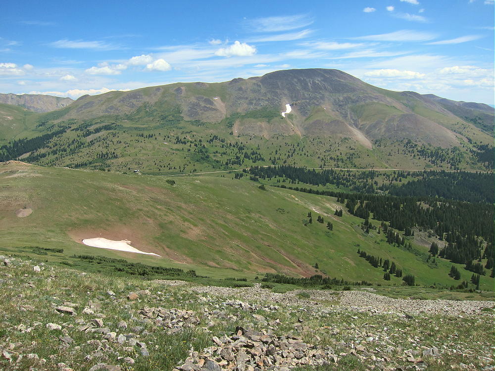
  • W0C/PR-019 (Bald Mountain) – 4171 m / 13,684 ft

    W0C/PR-019
    Bald Mountain
    4171 m / 13,684 ft
    Sep 19, 2016

    By KX0R

    Bald Mountain is a challenging, exciting, alpine summit near Boreas Pass, south of Breckenridge.

    Key Points:

    White River National Forest
    • Challenging high altitude hike
    • Marked trail part way
    • Ridge route partly on the Continental Divide
    • No marked trail to the summit
    • Superb alpine scenery
    • Excellent HF site
    • ~ 6.5 miles round-trip
    • ~ 2700 vertical feet total
    SOTA Classic!

    Driving Directions:

    • Drive west on Highway 285 and cross Kenosha Pass
    • Continue west on Highway 285 about 10 miles
    • Turn north on CR 33 and drive about ½ mile to Como
    • Pass through Como and drive up CR 33 about 9 miles to Boreas Pass at 11482 feet
    • The route follows a historic narrow gage rail line and continues all the way across to Breckenridge
    • CR 33 is an OK unpaved road, with several rough, rocky sections, but most cars can make the trip along the railway roadbed
    • Park off the road at Boreas Pass, near the old Section House
    • This is the trailhead

    The Hike and Climb:

    • Google Maps shows none of the hiking trails near Boreas Pass
    • You need a detailed topo map to navigate the area
    • GPS is very useful up there
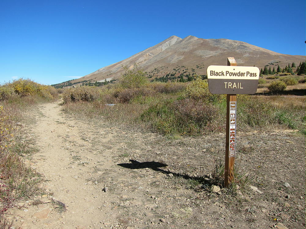
    • Follow the marked Black Powder Pass Trail as it leads north of the Section House along a water ditch


    • The pleasant trail heads northeast up a gulch and climbs to Black Powder Pass at about 12,160 feet.
    • Leave the trail and climb north up the ridge from the Pass.

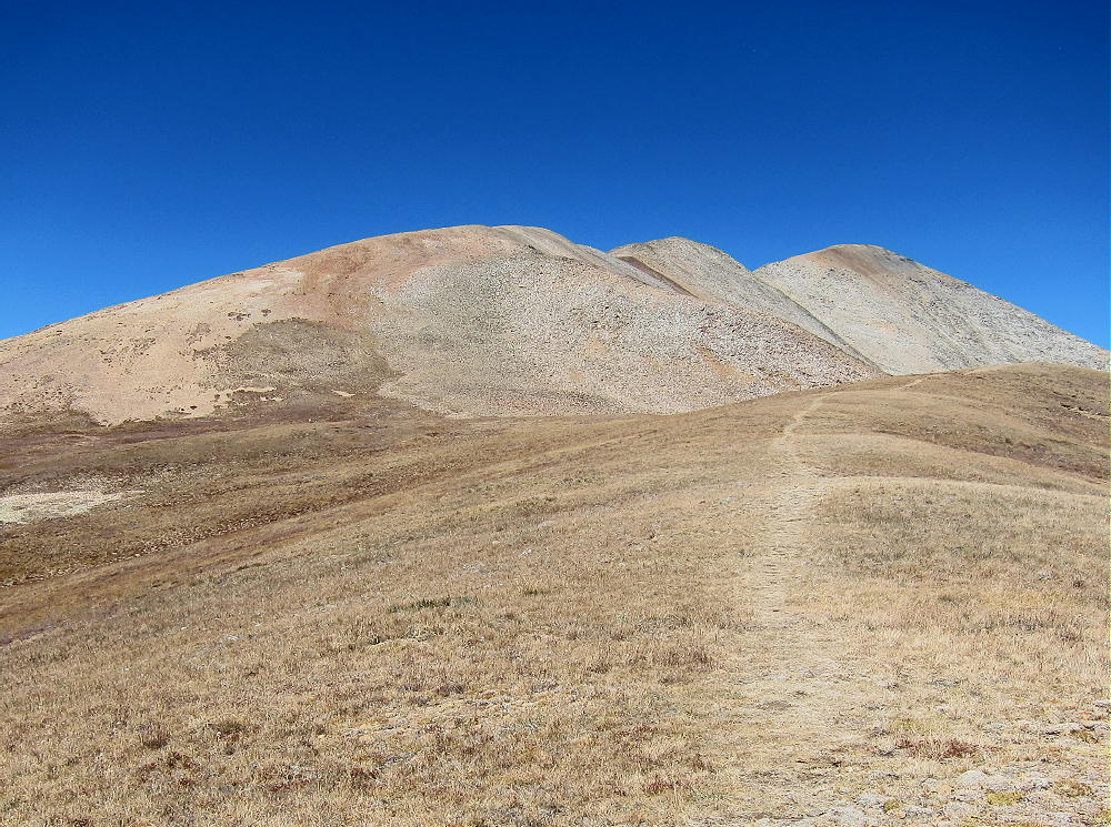
    • Continue climbing generally northwest along the rocky ridge for almost 2 miles, across several sub-peaks, and climb up to the alpine summit.

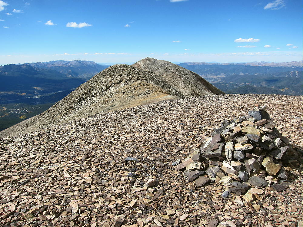
    • The actual SOTA summit is the north peak, but the highest of the southern sub-peaks is almost the same elevation; be sure you traverse the entire rocky ridge and activate the SOTA peak.


    • This is not an easy 13-er with a pleasant trail up through grassy tundra, etc. It’s a serious mountain, and you have to watch your steps and be careful!

    Additional Details:

    Black Powder Pass is a nice tourist destination, with fine views off both sides. I saw a herd of mountain goats there.

    Some route-finding is required along the high ridge to the summit. There are some cairns, and a climbers trail runs along much of the ridge; however, in some spots you may have to ascend talus or climb over boulders to get over the sub-peaks. The entire route need not exceed class 2, but you may find yourself doing a few simple class-3 moves, just because it’s a big mountain with many choices.

    Bald Mountain is an excellent 4000+ meter climb! There’s no serious exposure anywhere along the ridge route. The views are continuously awesome! Mount Guyot is particularly impressive less than 2 miles off the northeast side.

    Boreas Mountain stands high south of Black Powder Pass. Mount Silverheels looms large to the south.

    Many 14-ers are visible in the distance – Quandary, Grays, Torreys, etc. Pikes Peak is easy to spot about 60 miles to the southeast! This is real high country in all directions! The summit is a nice climax for the long hike up over so much rock.

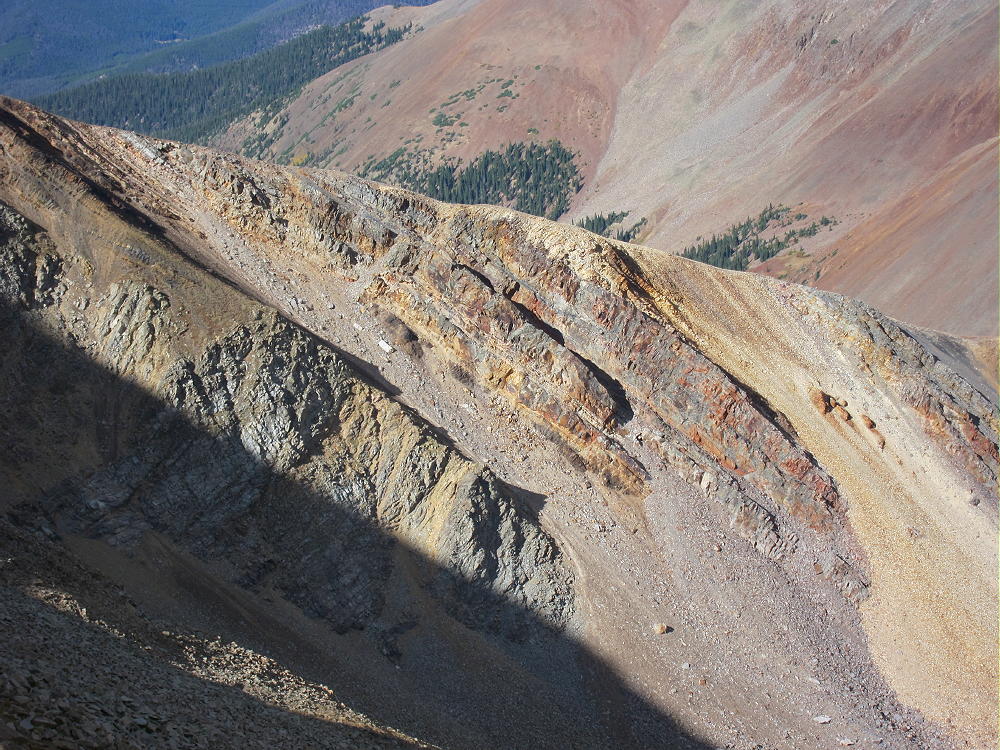
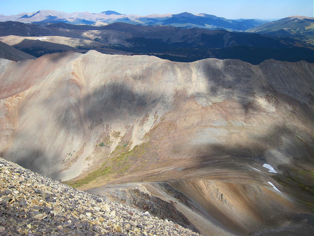
    This hike is also a geology field trip. Steeply dipping paleozoic sedimentary multi-colored rock beds appear along the high ridge, over toward Guyot, and in the peaks to the southwest.

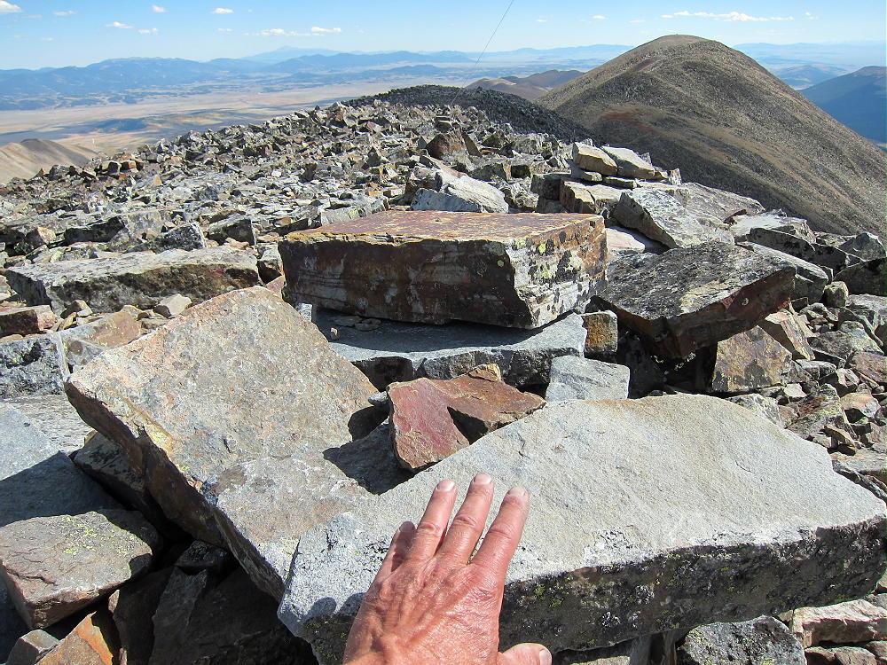
    The summit of Bald Mountain seems to be made of blocky Sawatch quartzite.

    The historic gold mines of Breckenridge are right down below. Lots of gold is still inside these mountains.

    I climbed Bald Mountain on an absolutely perfect day. When I ascended the south summit, I felt like I’d gone up to heaven. Why not, with stunning scenery, warm sunshine, and almost no wind? The north summit was a perfect spot to set up and activate, with a cozy wind shelter right on top! I had an incredibly easy activation, with strong signals, etc. I made 42 CW contacts on three HF bands.

    This peak is likely a fair VHF/UHF summit, with coverage across large parts of South Park, the area near Breckenridge, and up north near Lake Dillon.

    I had the summit all to myself, although I saw a few other climbers on the ridge. It was so nice I didn’t want to descend and traverse the long ridge back to the south. The longer I stayed up there in the afternoon light, the more beautiful everything became!

    The return trip over the various sub-peaks takes some time. Each one seems a little higher than it did earlier in the day; it’s a long time at high altitude. It feels really nice to return to the easy trail below Black Powder Pass!

    The long alpine ridge of Bald Mountain is a dangerous place in bad weather. In summer an early start is essential. This peak is so nice that it should be saved for a special day when everything is just right.

    Bald Mountain is totally a SOTA Classic!

    There’s a route up Bald Mountain’s northwest ridge from near Breckenridge, but I have no experience with that approach.

    For a dual activation, consider these two nearby summits:

    Madonna Dome W0C/SP-051 Easy – access from Boreas Pass
    Boreas Mountain W0C/SP-030 More challenging – same access

    73

    George
    KX0R


    ATTENTION !! WARNING !! There are old mountaineers, and bold mountaineers… there are no old-bold mountaineers. Hiking and mountain climbing are potentially hazardous activities particularly in Colorado with its extreme elevations. I am not accepting responsibility for any death or injury resulting from activations based on my trip reports. Proper training, experience, and personal capability assessment is required – enjoy!
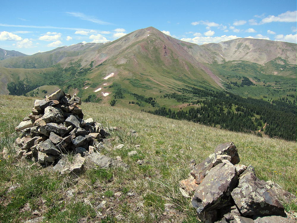
  • WØC/PR-114 (Bald Mountain) – 3040 M/ 9994 Ft – Central City Area

    W0C/PR-114 (Bald Mountain) 3040 M/ 9994 Ft
    Central City Area
    Oct 06, 2013
    by KX0R
    George Carey Fuller

    Bald Mountain is a wonderful SOTA peak in the historic mining zone southwest of Central City. While it’s partly surrounded by private land, mines, and new homes, the summit is on National Forest land, and so is the hike and parking!
    This is not obvious at first…

    Drive to Central City and follow Main Street, which climbs and becomes the Nevadaville Road, west about 3 miles, until you reach a high point near 9500 feet. Turn right north on Co Rd 1N, go about 2000 feet to a junction, and turn left on Bald Mountain Lane. If you see Bald Mountain ROAD, do not follow that, it’s private, and they do not want you there! Bald Mountain LANE leads immediately to the Bald Mountain Cemetery, down on the right side, which has many historical graves and some spooky tales associated with the dead who are buried there. Google it for more info…

    If you drive a little farther north from the cemetery, you will see USFS signs marking the forest boundary, and now you’re all set! Just go a bit farther, find a convenient parking spot on the east side, and park there, off the road. Cross the road and hike up the NE slope of the mountain on game trails – there is no marked route – just head straight up the slope through the forest. You’ll see the remains of old prospects here and there. It’s about 600 vertical feet and about 2/3 mile to the summit. If you go too far south, there is posted private land – but the NE route and the summit area is all in the National Forest.

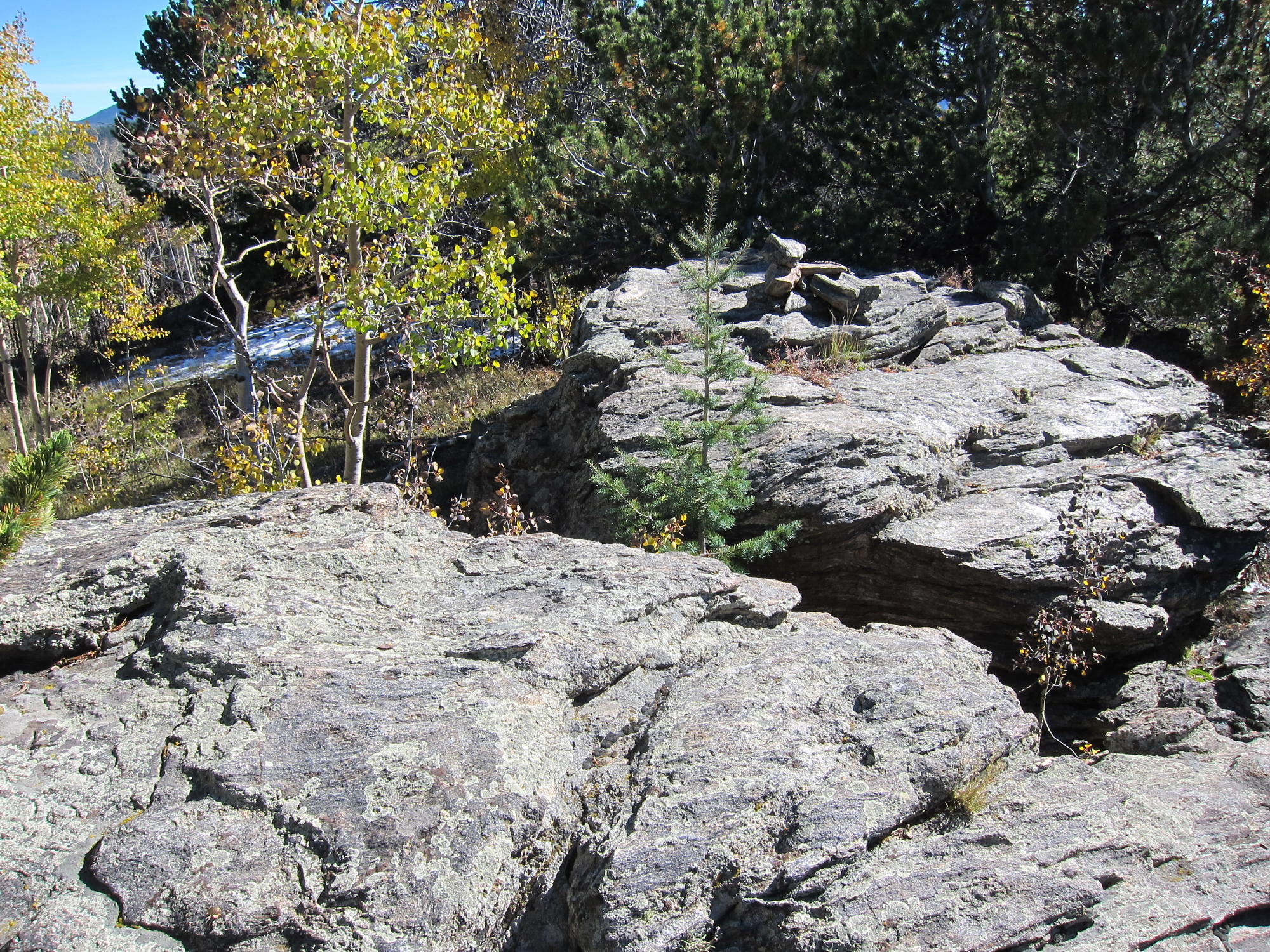
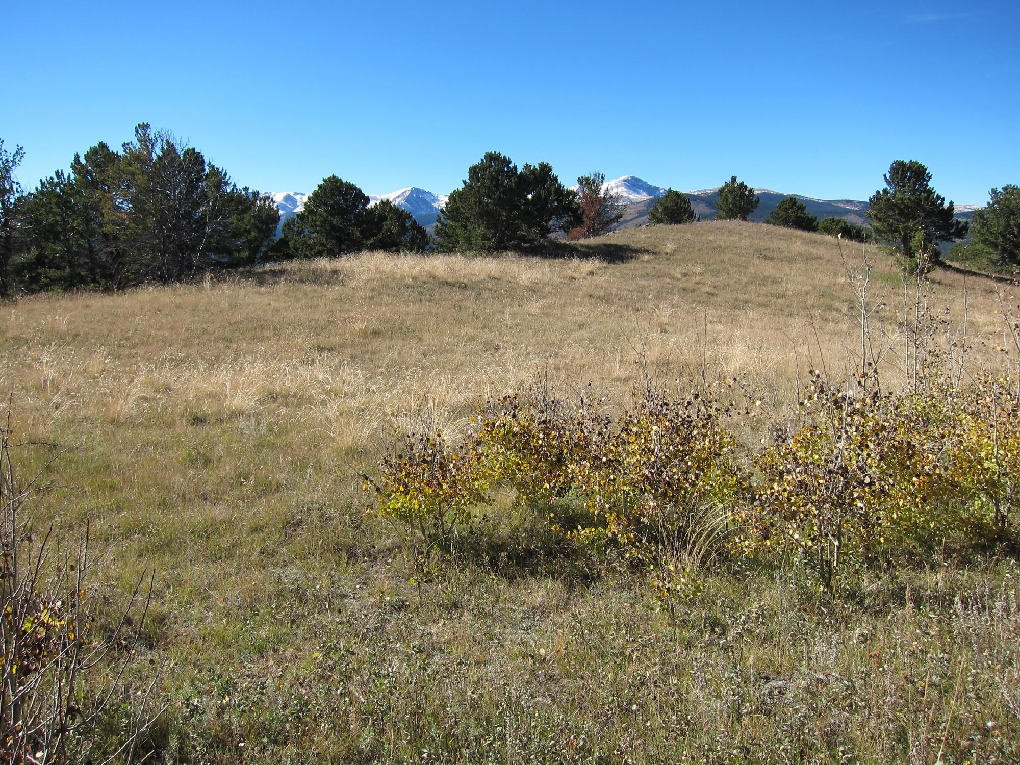
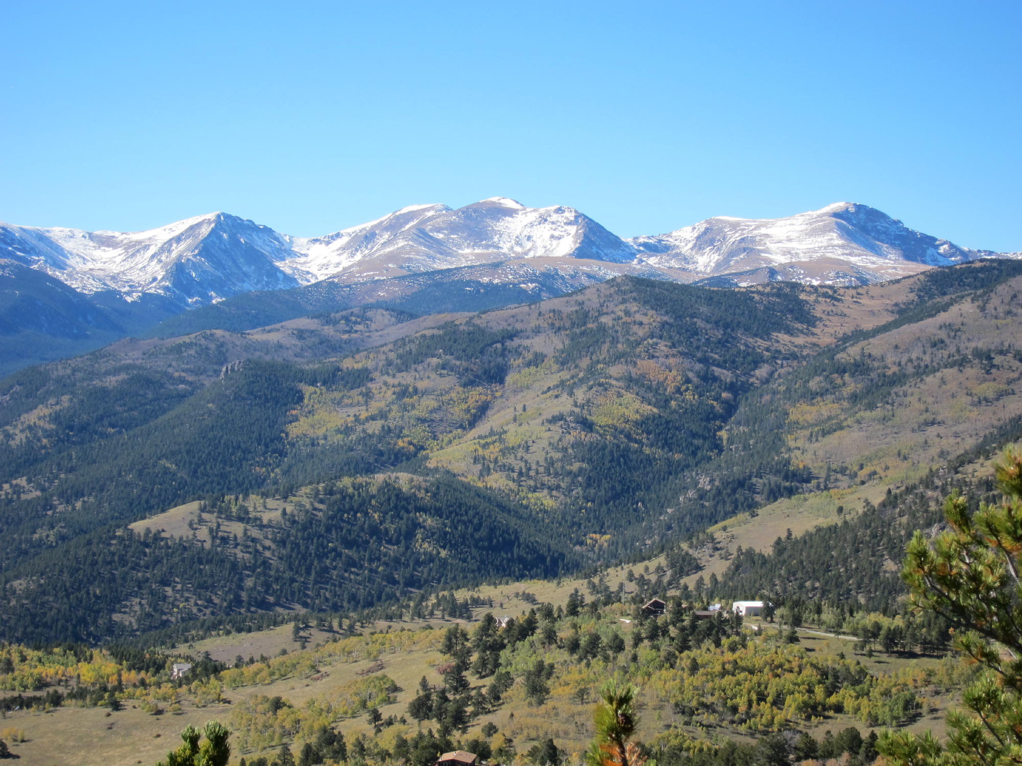
    The west summit is the high point – but the east summit is almost as high. There are lovely meadows surrounded by aspen trees all around the spacious top – this peak is colorful when the trees turn gold in the fall. The views are fabulous, right up to the Divide, and all around. Bald Mountain is a classic, and few people know about it or climb it.

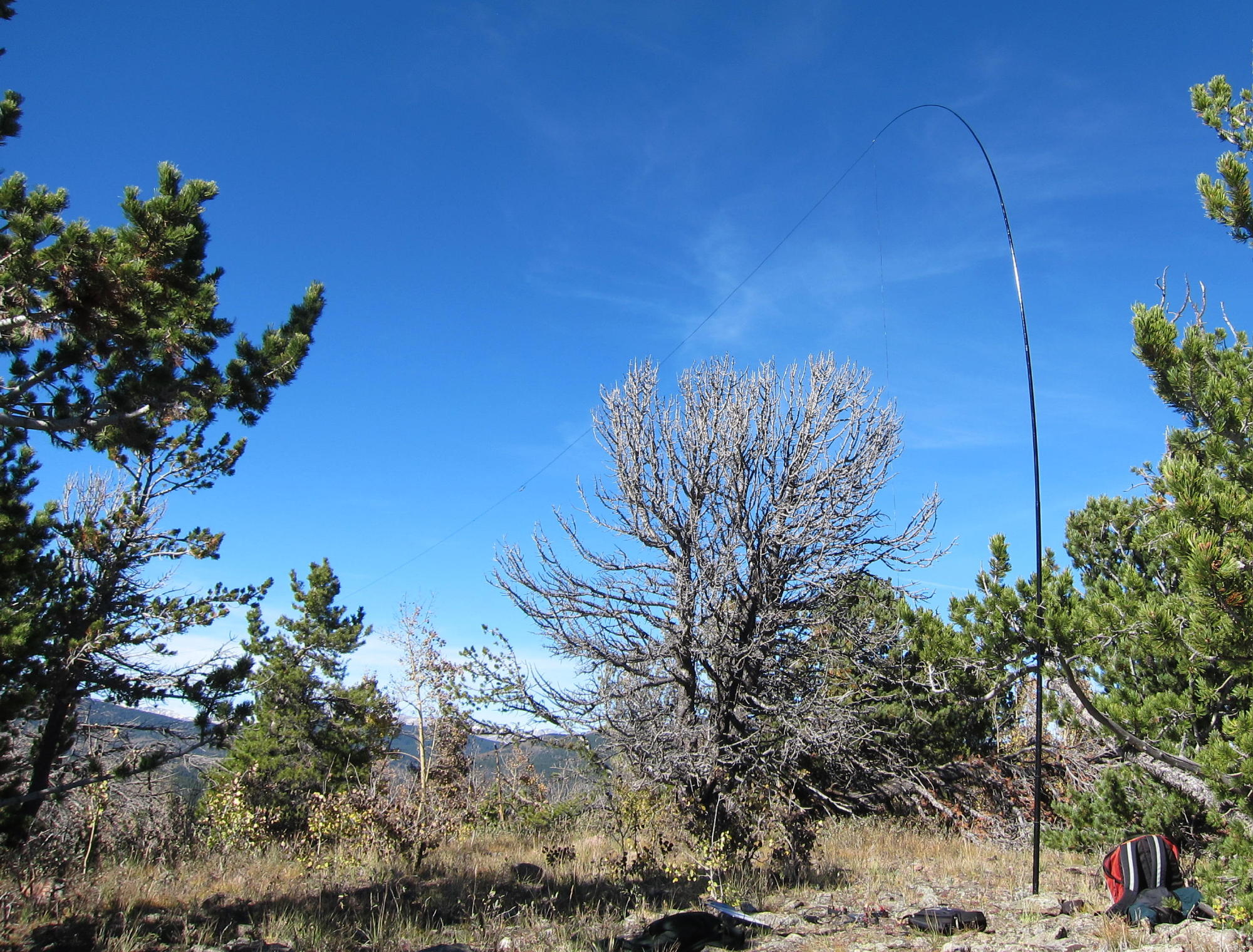
    You can set up and operate wherever you like within 75 vertical feet of the top. There are trees that could be used for an antenna – or bring a pole.

    When you get down, it’s fun to drive around the Nevadaville – Russell Gulch area to see various old mines and buildings. The Virginia Canyon Road 279 provides an interesting alternative descent road down to Idaho Springs.


    Some pictures (click onto the picture for a larger version):


    ATTENTION !! WARNING !! There are old mountaineers, and bold mountaineers… there are no old-bold mountaineers. Hiking and mountain climbing are potentially hazardous activities particularly in Colorado with its extreme elevations. I am not accepting responsibility for any death or injury resulting from activations based on my trip reports. Proper training, experience, and personal capability assessment is required – enjoy!