SOTA outings by KØMOS and contributors

Tag: alpine

  • WØC/PR-Ø2Ø (Gray Wolf Mountain) – 4146 m / 13602 ft

    W0C/PR-020
    Gray Wolf Mountain
    4146 m / 13602 ft
    Aug 16, 2014

    By KX0R

    Gray Wolf Mountain is a high alpine summit located about 2-1/2 miles northeast of Mount Evans. On a nice summer day it’s a pleasant retreat into the wilderness, and it’s also a fine SOTA peak.
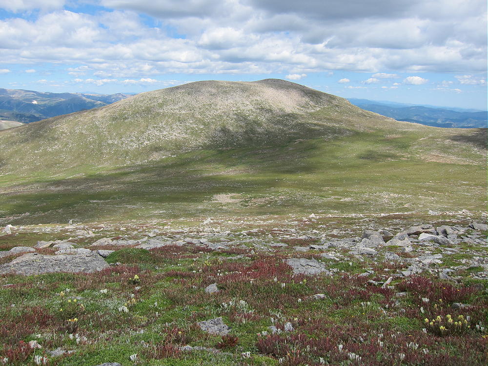
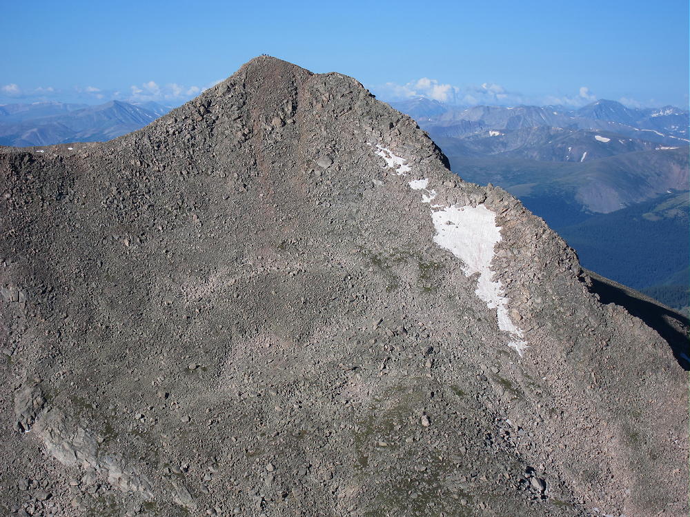
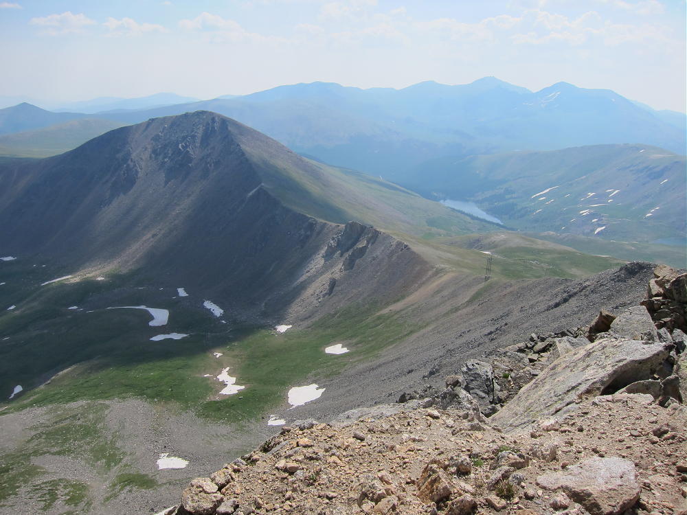
    Gray Wolf Mountain from Mount Spalding
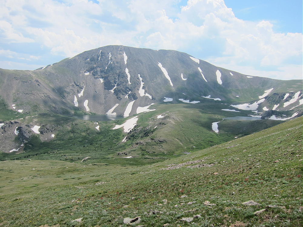
    Gray Wolf Mountain from Mount Spalding

    To climb Gray Wolf, first drive up Mount Evans. Traverse the long rocky West Ridge of Evans – a trail leads through the rocks around the south side of this ridge, and it’s heavily used by hikers on nice days. Follow this trail down to the Evans – Spalding saddle.
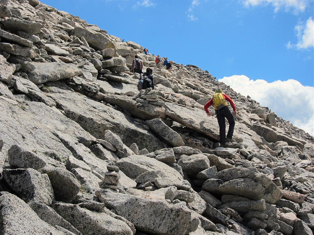
    From this saddle you can either follow the trail north over Mount Spalding, or contour around the west side of Spalding. The trail eventually goes down a craggy ridge to Summit Lake, and it’s a popular route for climbing Spalding and Evans.
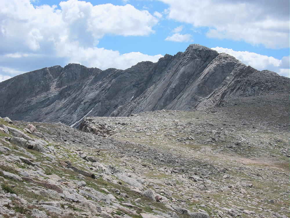
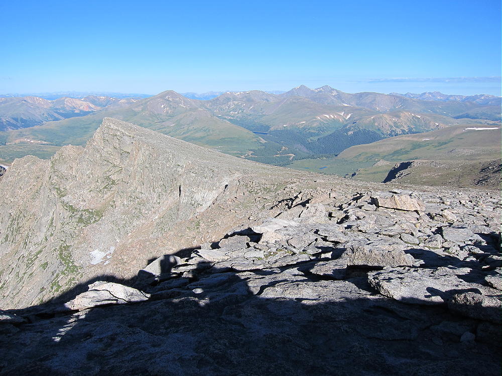
    Mount Evans from Spalding Slopes
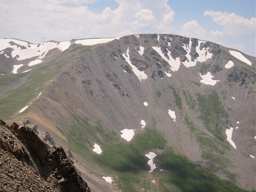
    Mount Evans from Spalding Slopes

    Leave the trail and descend about 750 vertical feet north to the Spalding – Gray Wolf saddle at about 13030 feet. The broad saddle area is marshy, so try to pick a dry route. From the saddle, hike north across the tundra, and then climb the easy southeast ridge of Gray Wolf.
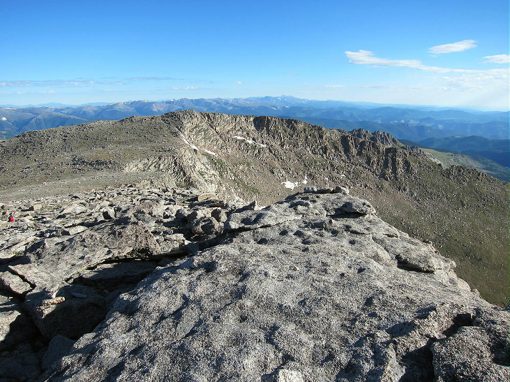
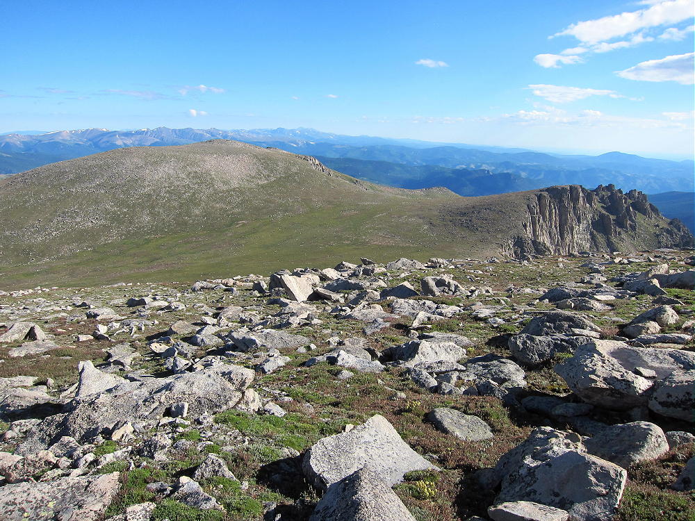
    The summit is broad, rocky, and pleasant; the activation zone is large. Rocks southwest of the top provide shelter from the west wind.
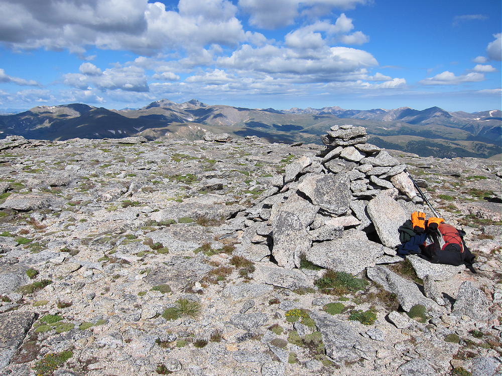
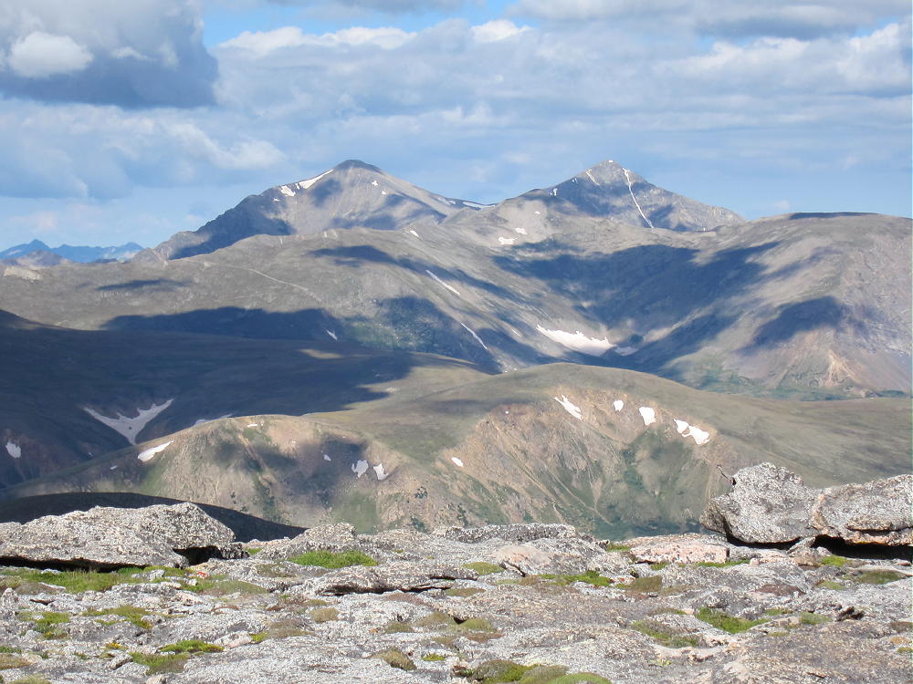
    Gray Wolf is a great radio site – it’s far from man-made sources of RF noise, and it has an open view across the Denver Area, the Plains, and the mountains. Few people visit this summit.
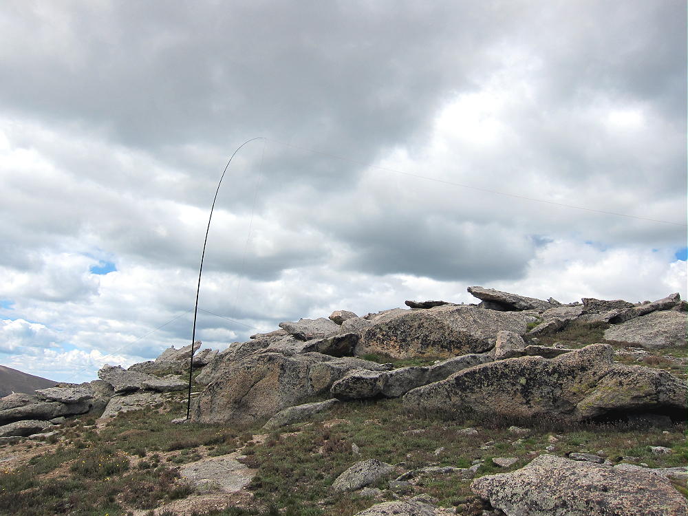
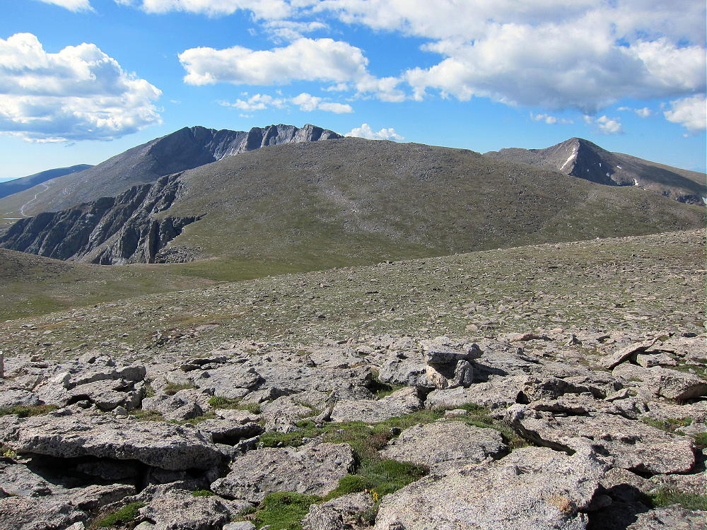
    Gray Wolf Activation
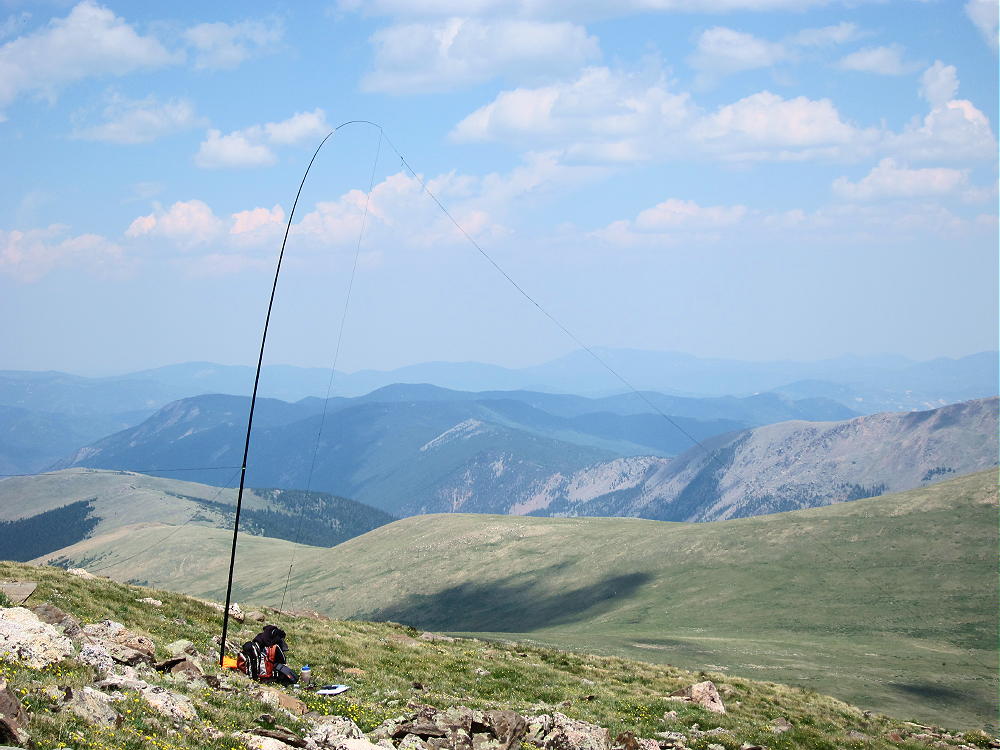
    Gray Wolf Activation

    Even though this hike looks like an easy stroll across the tundra, it requires about 6 total miles of hiking. Most of the route is rough trail or off-trail. The total vertical ascent is about 2000 feet, and the entire trip is above 13,000 feet. Pick a good day for this interesting activation, and start early!

    It looks like the route to Gray Wolf can be shortened by starting at Summit Lake. Hike up the ridge trail northwest of the Lake, climb to the north slope of Spalding, and then leave the trail and head north to Gray Wolf. The total hiking distance is reduced, but the total vertical ascent is still about 2000 vertical feet. I have not climbed up the ridge above Summit Lake, but it looks like an efficient route.

    73

    George Carey Fuller
    KX0R


    ATTENTION !! WARNING !! There are old mountaineers, and bold mountaineers… there are no old-bold mountaineers. Hiking and mountain climbing are potentially hazardous activities particularly in Colorado with its extreme elevations. I am not accepting responsibility for any death or injury resulting from activations based on my trip reports. Proper training, experience, and personal capability assessment is required – enjoy!
  • WØC/SR-Ø24 (Wilcox Mount) – 4079 m / 13408 ft

    W0C/SR-024
    Wilcox Mount
    4079 m / 13408 ft
    July 19, 2014
    First Activation

    By KX0R

    Wilcox Mount, or Mount Wilcox (click this link!) on our maps, is Argentine Peak’s little sister. Wilcox is a summit about 1.2 miles east of the summit of Argentine, on a beautiful high ridge that extends for miles.

    Both mountains are high alpine SOTA peaks near Guanella Pass Pass. Most SOTA activators will probably climb Argentine Peak first, and then perhaps climb Wilcox for a dual activation, if conditions are favorable.

    Please read the trip report on Argentine Peak for trailhead directions and how to climb Argentine. From Argentine it’s simple to drop down the moderate East Ridge, walk across the easy saddle, and then ascend about 500 vertical feet on the West Ridge to the summit of Wilcox.

    To climb Wilcox by itself, or before climbing Argentine, hike to Murray Reservoir, climb up the tundra slopes to the Argentine-Wilcox saddle, and then climb the West Ridge of Wilcox. After Murray Reservoir, there is no real trail, and you must navigate and choose a good route.

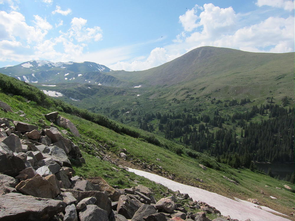
    Wilcox has a broad alpine summit, and in good weather, it’s easy to activate on HF with a pole. At only 100 meters below Argentine, it’s also a high peak. The north, east and south slopes of Wilcox are huge meadows. These meadows extend down over 2000 vertical feet to Naylor Lake.

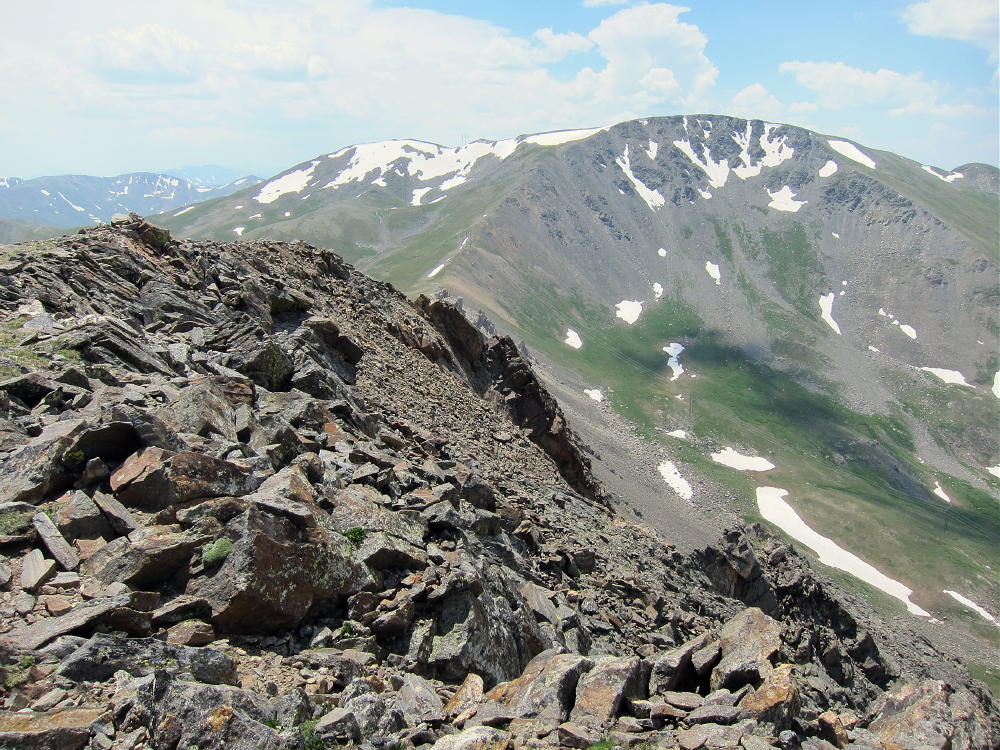
    First Activation of Mount Wilcox
    First Activation of Mount Wilcox

    To descend Wilcox, choose between:

    1) The West Ridge Route, then down the slopes to Murray Reservoir, and then up a short distance to the Silver Dollar Lake Trail

    2) Descend the easy meadows from the summit, first east, and then south, to minimize the grade and to avoid steep slopes directly south of the peak. Do not descend to the private property around Naylor Lake! Between 12,400 and 12,200 feet curve west, and then cross the large creek in the valley, just below 12,000 feet. This was not a problem when I was there in mid-July, but it might be a serious hazard early in the summer! Head to Murray Reservoir or up the easy ridge just east of Murray, and join the Silver Dollar Trail on the ridge-top.

    Stay away from Naylor Lake – it is private and uninvited hikers are not welcome!  (That’s what I read on the Internet…)

    The alpine wilderness basin between Wilcox, Argentine, and Square Top is a beautiful place, with lakes, streams, and flowers. There are far fewer hikers than on Bierstadt and Square Top nearby.  This is a special place to visit.

    73

    George Carey Fuller
    KX0R


    ATTENTION !! WARNING !! There are old mountaineers, and bold mountaineers… there are no old-bold mountaineers. Hiking and mountain climbing are potentially hazardous activities particularly in Colorado with its extreme elevations. I am not accepting responsibility for any death or injury resulting from activations based on my trip reports. Proper training, experience, and personal capability assessment is required – enjoy!