SOTA outings by KØMOS and contributors

Category: SOTA trip report

SOTA (Summits on the Air) trip reports with pictures and videos by K0MOS

  • W0C/SR-064 (Horseshoe Mountain) – 4236 m / 13898 ft

    W0C/SR-064
    Horseshoe Mountain
    4236 m / 13898 ft
    Sep 27, 2016

    By KX0R

    Horseshoe Mountain is a high, alpine summit in a historic mining area about 10 miles west of Fairplay, Colorado.

    Key Points:

    • High altitude hike
    • No marked route
    • Old mining road ascends part way
    • Rocky path leads along ridge to the top
    • Spectacular alpine scenery
    • Geology field trip
    • Excellent HF site
    • ~ 6 miles round-trip from 11,850 foot parking spot
    • ~ 2050 vertical feet total from 11,850 foot parking spot
    • ~ 4 miles round trip from 12,300 foot parking spot
    • ~ 1600 vertical feet total from 12,300 foot parking spot
    *** SOTA Classic! ***

    Driving Directions:

    • Drive west on Highway 285 and cross Kenosha Pass
    • Continue west on Highway 285 to Fairplay
    • Drive south from Fairplay about 1 mile
    • Just past the turn-off for Highway 9, Highway 285 goes up a little hill.
    • Turn west at the top of the hill on CR 18, the Four Mile Creek Road.
    • Mostly unpaved CR 18 is OK for several miles, but it gets worse as it heads up into the mountains. 4WD isn’t required, but many parts of the road are rocky and rough.
    • Follow CR 18 up historic Four Mile Creek, past old mines and mills, for about 10 miles from Highway 285.
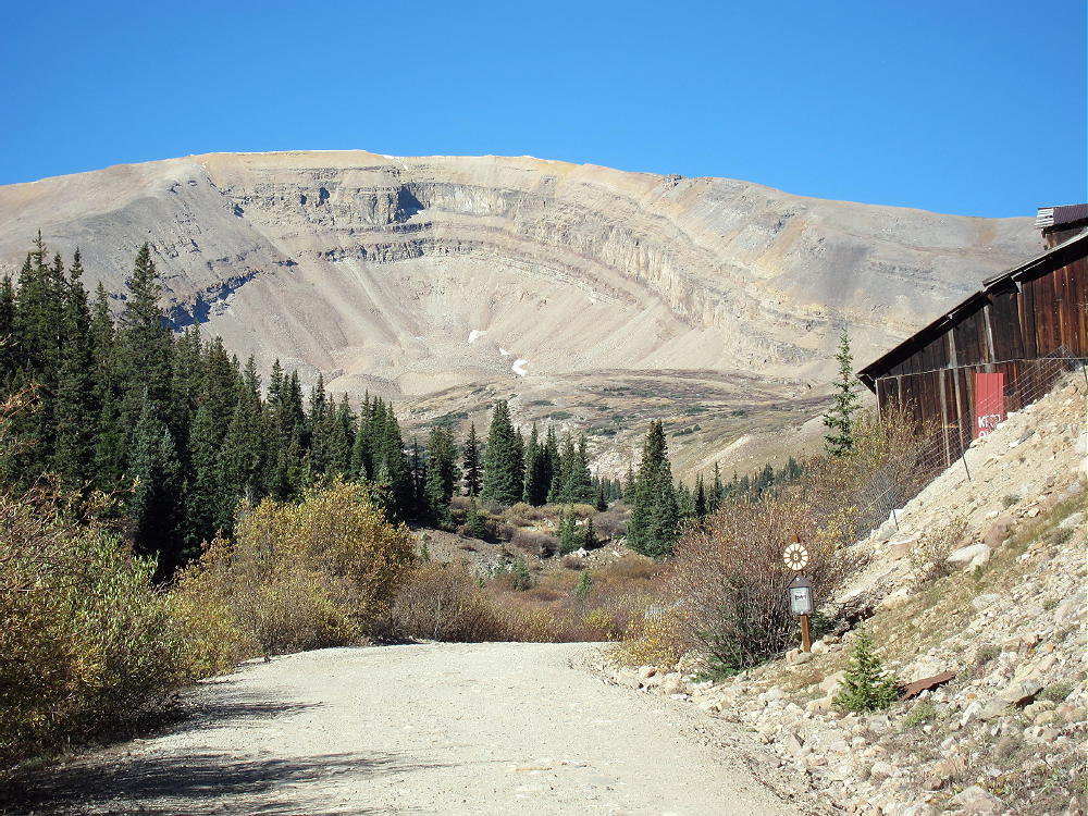

    • At about 11,600 feet, a small, insignificant road, FR-603, leads south across Four Mile Creek.
    • It might be possible to park on the north side of CR 18 near FR-603.
    • FR-603 is an easy 4WD road – it climbs steeply southwest and leads into the Horseshoe Cirque below the summit.
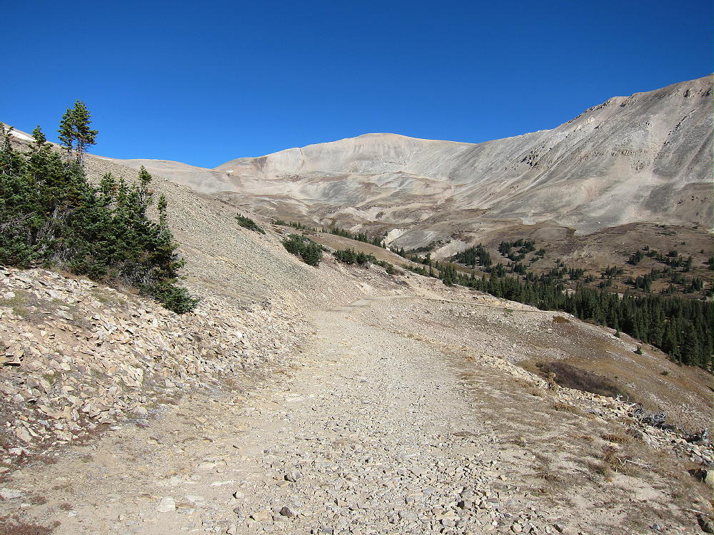
    • FR-603 requires high clearance in spots, but it may be passable in some 2WD vehicles.
    • Most of the land along the first part of FR-603 is private and is posted.
    • It’s possible to park along the road past the posted land.
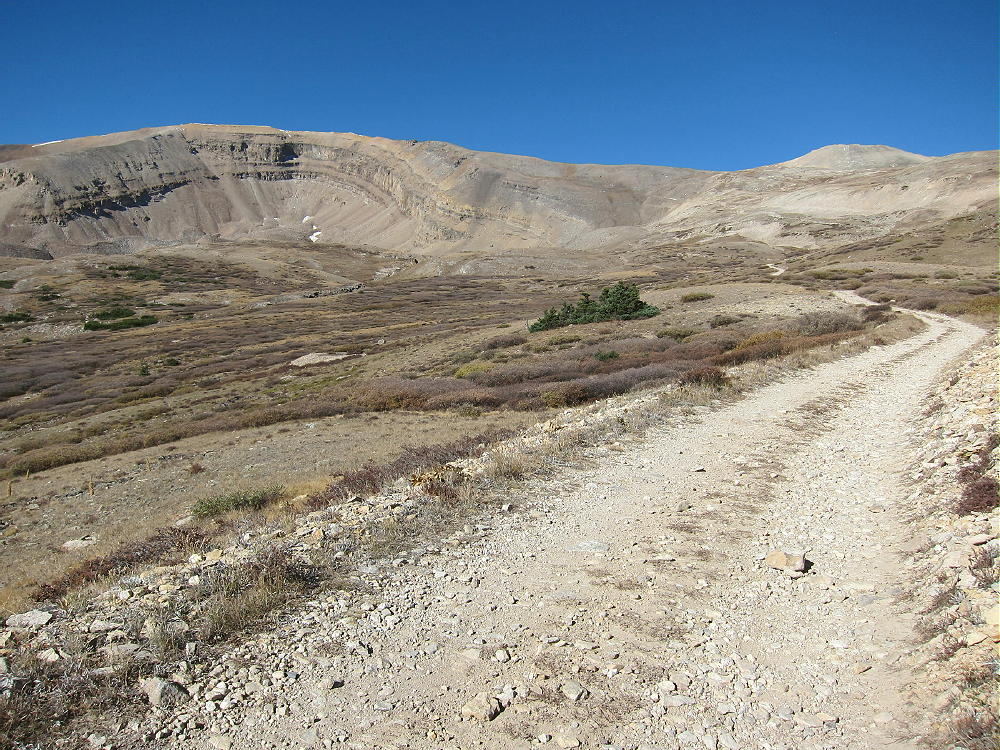
    • FR-603 improves as it enters the Horseshoe.
    • There’s a good parking spot at about 12,300 feet overlooking a small lake.
    The Hike:

    • Because of the high altitude, this trip is recommended only for experienced hikers with a high level of physical fitness.
    • Google Maps show none of the trails near Horseshoe Mountain.
    • GPS is very useful in this area.
    • The hike is simple, but it isn’t marked well with signs, etc.
    • From the 4WD parking spot at 12,300 feet, hike up the mine road as it continues steeply up switchbacks and climbs the ridge north of the peak.
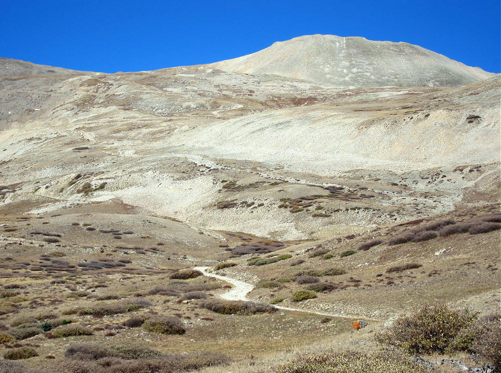
    • If you have a serious 4WD vehicle, you may be able to drive up as high as 13,000 feet.
    • Hike up the remains of the road to the saddle on the ridge at 13,200 feet.
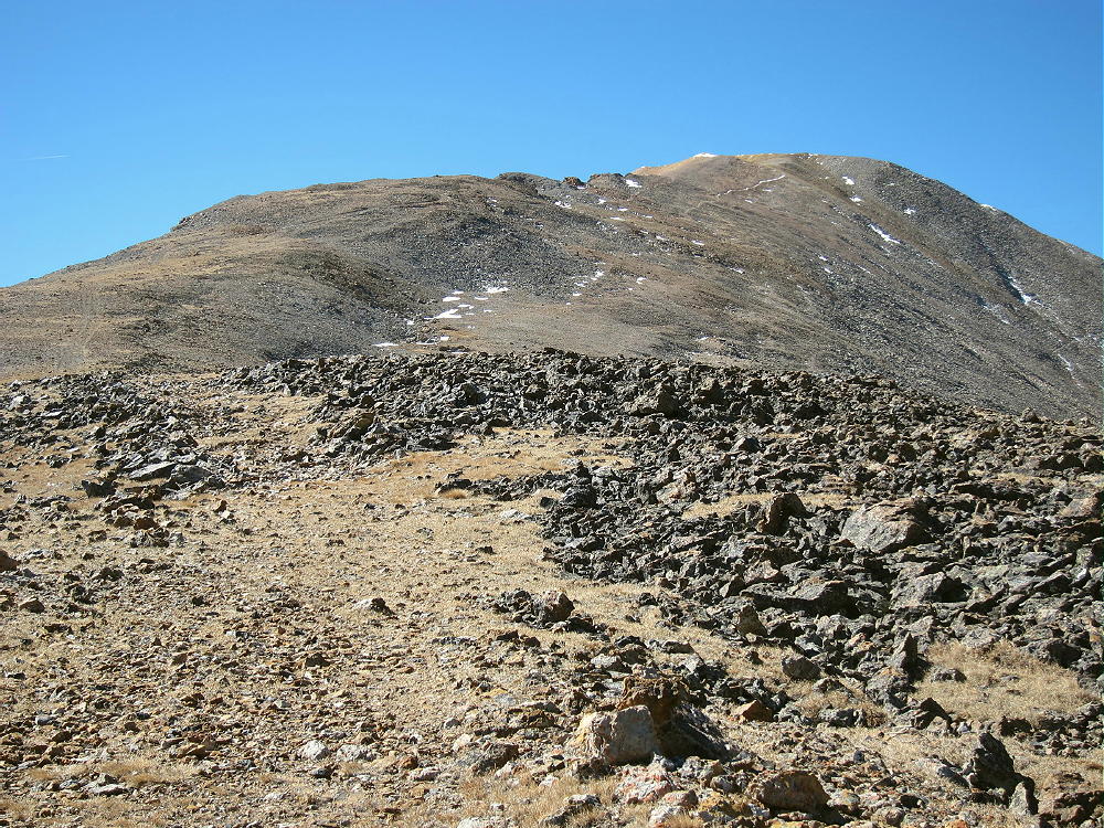

    • An unmarked faint path leads south and climbs up the moderate ridge about 0.8 miles to the summit area.
    • A rock-pile is near the summit, but there’s no wind shelter.

    Additional Details:

    The part of the summit ridge above 13,800 feet is about ½ mile long. The SOTA Activation Zone is perhaps 2000 feet long and is relatively flat. As long as the wind is not too strong, you can set up radio gear anywhere that’s convenient.
    The weather was perfect when I climbed up Horseshoe Mountain. With only a breeze, I guyed my pole and set up on top.
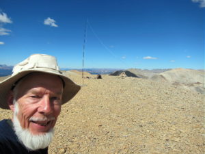
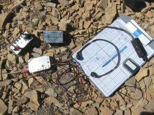
    Horseshoe Mountain is a perfect HF summit. It falls away in all directions, and there are no higher peaks nearby to affect skip signals. There’s no development nearby, and the RF noise level is very low.

    I had no problem making 43 CW contacts on four HF bands! I logged three DX contacts:

    F6HKA in France               20M
    ZL1BYZ in New Zealand    20M
    ZL1BYZ in New Zealand    17M

    I also made three summit-to-summit (S2S) contacts:

    W4EON    W4V/HB-020    20M
    WA9STI    W6/CC-002     30M
    NS7P       W7O/CM-072   30M

    Horseshoe is fair VHF/UHF peak, because it looks out across most of South Park, as well as into parts of the Arkansas Valley. The history for the peak shows many 2M contacts.
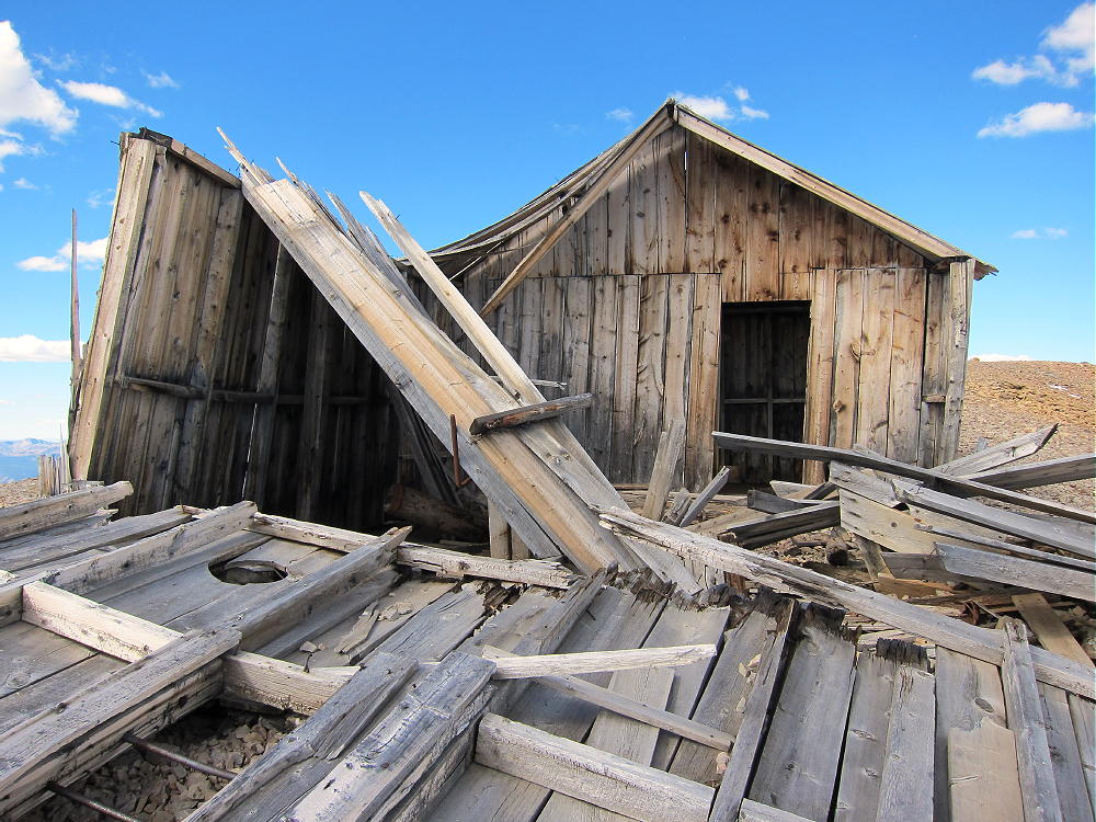
    The weathered remains of a house stand on the summit ridge about 1000 feet north of the peak. This house is within the activation zone, and the structure could be used for shelter from wind, but be careful of nails, etc.
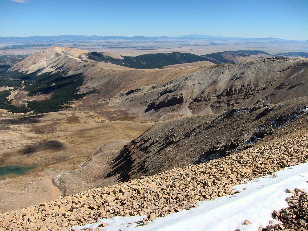
    The summit offers great views of numerous peaks and most of South Park. Mount Sheridan and Mount Sherman stand to the north, and other high peaks are visible along the top of the Mosquito Range in both directions.
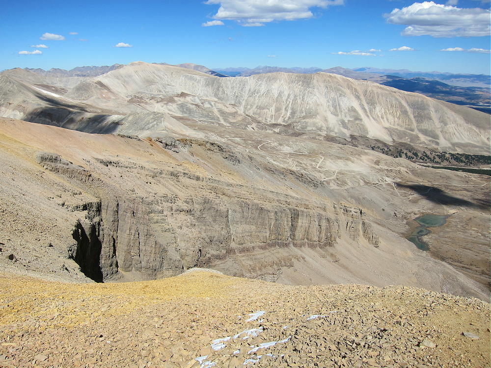
    The Sawatch Range isn’t far away, with numerous 4000+M peaks to the west; and Pikes Peak stands out clearly in the southeast, 66 miles away. Dozens of SOTA peaks are visible.

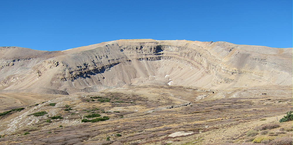
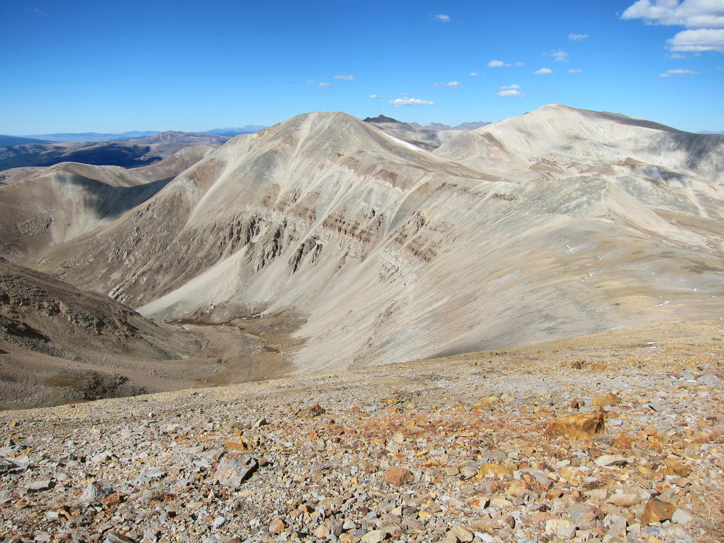
    The horseshoe-shaped mountain is spectacular when viewed both from the cirque, as well as from the summit. This mountain is actually a glacially-sculpted sedimentary hogback ridge. The tilted bedded rocks date from hundreds of millions of years ago, and there’s limestone right on top of the peak!
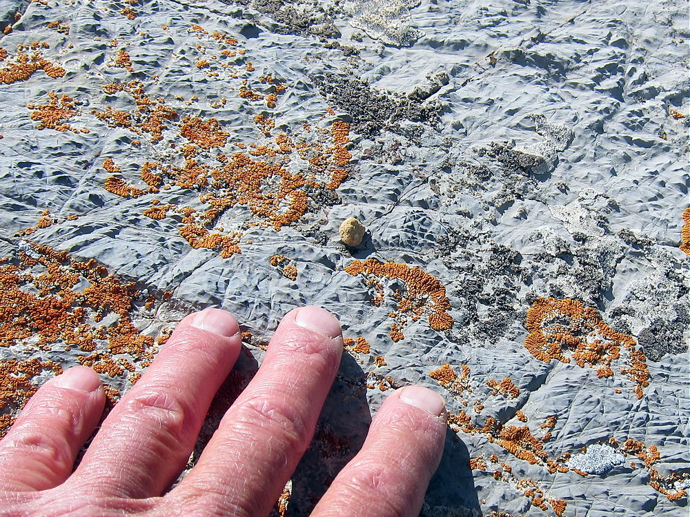
    The cirque is eroded deeply enough that the whole sequence of rocks is visible. There are many examples of mineralized rock along the route, as well as numerous mines and prospect holes all over the mountain. The colored sedimentary layers are visible for miles along the west side of the Mosquito Range, and elsewhere in the area.
    I saw no one when I was on the Horseshoe or in the Cirque. It’s amazing to visit and enjoy such a huge, spectacular place when everything is perfect. It was nice to have so many chasers calling on my tiny radio!

    Horseshoe Mountain is a SOTA Classic for all the reasons detailed above.

    73

    George
    KX0R


    ATTENTION !! WARNING !! There are old mountaineers, and bold mountaineers… there are no old-bold mountaineers. Hiking and mountain climbing are potentially hazardous activities particularly in Colorado with its extreme elevations. I am not accepting responsibility for any death or injury resulting from activations based on my trip reports. Proper training, experience, and personal capability assessment is required – enjoy!
  • W0C/FR-029 (North Tarryall Peak) – 3628 m / 11902 ft

    W0C/FR-029
    North Tarryall Peak
    3628 m / 11902 ft
    Oct 15, 2016 – with N0TA

    By KX0R

    North Tarryall Peak is a classic alpine SOTA peak in the Tarryall Mountains east of South Park.

    Pike National Forest
    • Somewhat challenging off-trail climb to the summit
    • Spectacular scenery
    • Exciting alpine summit
    • Superb radio site
    • ~ 3.5 miles round-trip
    • ~ 1250 vertical feet

    ** SOTA Classic **

    Driving Directions:

    • Drive west on Highway 285 and cross Kenosha Pass
    • About 2 miles beyond the Pass, turn left, south, on CR 56, the Lost Park Road
    • This unpaved road is rocky and rough, but it’s normally a 2WD road, and high clearance is not required
    • Follow CR 56 about 13.3 miles up to Lost Pass at 10,680 feet
    • Park at the Pass

    ** Note that CR 56 may be closed seasonally – check with the  USFS **

    The Hike and the Climb:

    • A fence runs up the hill just south of the Pass
    • Hike southwest along the fence through the woods
    • Head west near the top of the hill, and go through open forest to a bench at about 11,000 feet
    • The bench is a large marsh
    • Follow a game trail southwest across the southeast side of the bench
    • Enter the forest at about 11,100 feet
    • Follow game trails south-southwest up the steep slope toward the summit
    • At about 11,650 feet, continue hiking up the rocky northeast ridge of the mountain
    • Continue on the ridge to the summit area at 11,800 feet
    • The rocky summit is visible to the southwest across a large alpine meadow
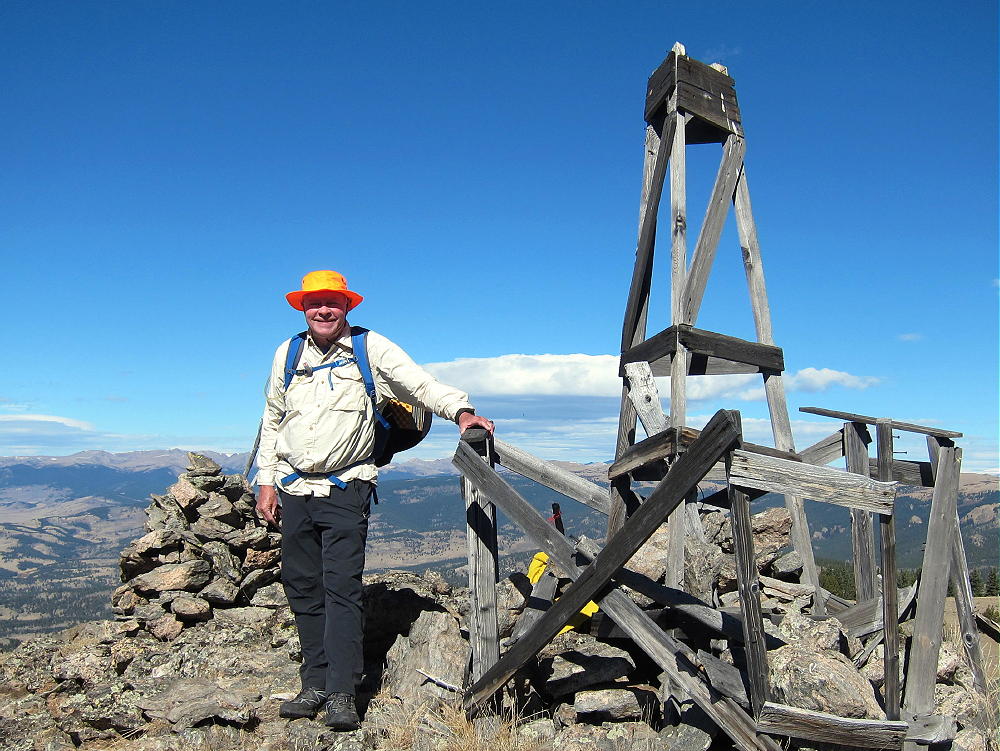
    • An impressive old triangulation station stands intact on the rocky peak
    • A convenient path leads up a gully to the summit

    Additional Details:

    The ascent route described above is direct and efficient. Since this way is up the northeast side of the mountain, it might not be so nice if there’s snow in the woods. Other possible routes start by driving (or hiking) south on FR-446 for a mile or two. Some old closed logging roads lead up roughly west from FR-446 and provide partial access to the upper part of the mountain. These roads are visible in the Google satellite images.

    Regardless of the route you choose, GPS navigation is a good idea up there, because the forest is so thick that the summit’s often hidden from view. A good map and a compass also can keep you on course.

    The huge activation zone definitely includes a broad sub-peak, with nice trees and shelter from wind, about 500 feet north of the triangulation station. Please see the enlarged topo map of the summit. Activating from the exposed triangulation station is also possible, but there’s little shelter from wind, and no trees are available.

    North Tarryall Peak is a perfect HF site. Far from development, the noise level is very low. The prominent summit falls away quickly in all directions. No nearby mountains significantly block HF skip signals.

    This mountain should be useful for VHF/UHF communication as well. It’s high enough to have coverage across South Park to the Divide and the Collegiate Peaks.

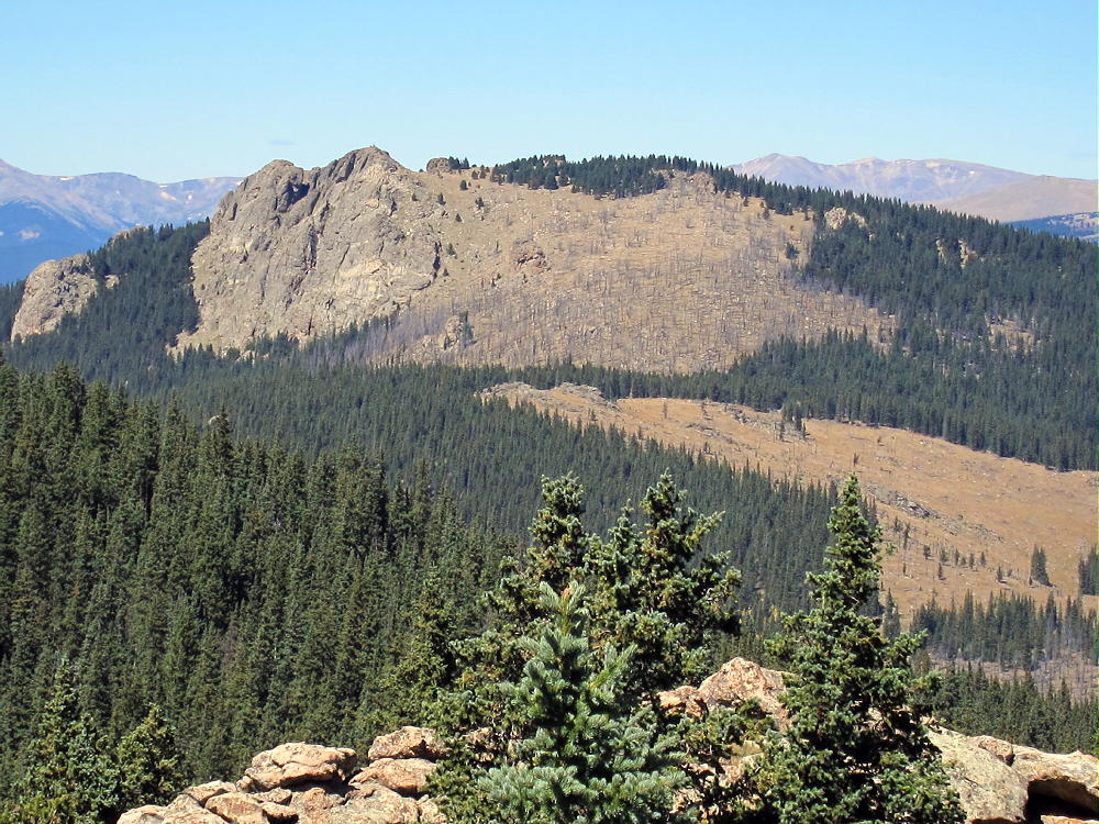
    North Tarryall Peak sits on the long, high ridge-top of the Tarryall Mountains. The open views from the cliffy summit are spectacular. Topaz Mountain W0C/SP-062 stands 2.4 miles to the southeast.

    Pikes Peak is visible far to the south, beyond Topaz Mountain, Bison Peak, and McCurdy Mountain.

    Most of South Park spreads out far below. Other mountain ranges are easy to see far in the distance.

    Peak X (W0C/FR-022) and Peak Y (W0C/SP-052) stand less than 4 miles north in the Kenosha Mountains:

    In the southeast the eastern plains are visible, behind Lost Park and various summits in the Lost Creek Wilderness.

    North Tarryall can be combined with other nearby SOTA peaks for a dual activation:

    W0C/SP-062 Topaz Mountain 2.4 miles southeast
    W0C/SP-075 11060 4.2 miles east
    W0C/SP-068 11423 6.2 miles southeast

    North Tarryall Peak is a SOTA Classic!

    • Spectacular rocky alpine summit
    • Awesome views all around
    • Near-perfect radio site
    • Large, pleasant activation zone
    • Challenging hike
    • Relative solitude

    Thanks to Mark N0MTN for his First Activation!

    Be aware of possible hunters in the fall – wear bright orange; also note that the willow swamps east of the summit are prime moose territory.

    73

    George
    KX0R


    ATTENTION !! WARNING !! There are old mountaineers, and bold mountaineers… there are no old-bold mountaineers. Hiking and mountain climbing are potentially hazardous activities particularly in Colorado with its extreme elevations. I am not accepting responsibility for any death or injury resulting from activations based on my trip reports. Proper training, experience, and personal capability assessment is required – enjoy!
  • W0C/FR-097 (Sheep Mountain) – 2303 m / 7555 ft

    W0C/FR-097
    Sheep Mountain
    2303 m / 7555 ft
    Oct 20, 2015

    By KX0R

    Sheep Mountain is an obscure SOTA peak on the north side of the Poudre Canyon, right above The Narrows.

    Key Points:

    Roosevelt National Forest
    • Accessible trailhead
    • No marked trail
    • Old trails provide a path part way
    • Navigation and route-finding required
    • Minimal bushwhacking via correct route
    • Prominent open summit
    • Fine views of Poudre Canyon
    • Burned up in High Park Fire of 2012
    • Fine HF summit
    Mount McConnel and 7612 are nearby
    • Trailhead elevation ~ 6500 feet
    • ~ 2.2 miles round-trip
    • ~ 1030 vertical feet

    Driving Directions:

    • Drive to Fort Collins.
    • Continue northwest from Fort Collins on Highway 287 to Ted’s Place.
    • Turn west on Highway 14, and enter the Poudre Canyon after 4 miles.
    • Continue up the winding canyon road, and pass through the Narrows
    • Look for the Narrows Picnic Area on the left side of the highway
    • A good parking spot is nearby, on the west side of the highway. It’s about 20 miles from Highway 287 to the parking spot.
    • Parking is prohibited in some other pullouts nearby.

    The Hike:

    • Walk across the highway and hike northeast through an open area toward the obvious gulch.
    • Just to the right, above the gully, is an eroded hill with hints of a trail.


    • Climb up this steep spot, to the eroded orange dirt, rather than hiking directly up the rocky gully.
    • A hidden abandoned road 50-100 feet above the gully leads eastward.
    • A good game trail follows this track.


    • This route ascends efficiently up to the wide saddle at 6860 feet, north of Sheep Mountain.
    • Head south from the saddle and climb the north slope of Sheep Mountain.
    • It’s steep and eroded, but it’s probably easier than other routes to the summit – there are hints of an old trail.
    • At the top of the slope, follow the gentle ridge south.
    • Stay just east of a rocky sub-peak.
    • A shallow valley leads up toward summit.
    • Follow the valley and remains of an old trail
    • Climb up the northeast ridge to the top.

    Here’s an alternative trip report from K0MOS.  Matt ascended up the steep southeast side of Sheep Mountain from The Narrows.  I believe my route detailed here is much easier.

    Additional Details:

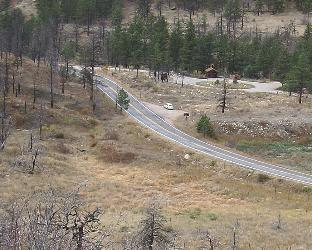
    The following photo shows the key details of the first part of the climb.  To find the secret trail up above the gully north of Sheep Mountain, you must ascend to the point where this photo was taken.  This is the start of the hidden path up to the saddle north of Sheep Mountain.  Note that this spot is directly across the highway from the south end of the Narrows Campground.  The parking spot is visible down the road to the left.

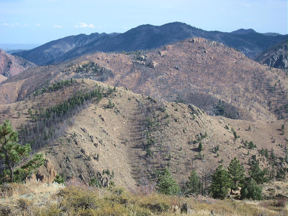
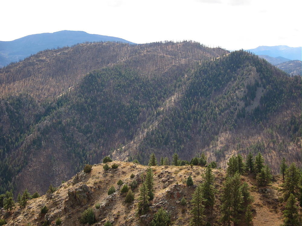
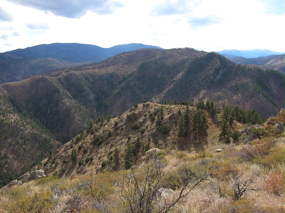
    Because the mountain was burned, there are great views of the Canyon in all directions from the summit:

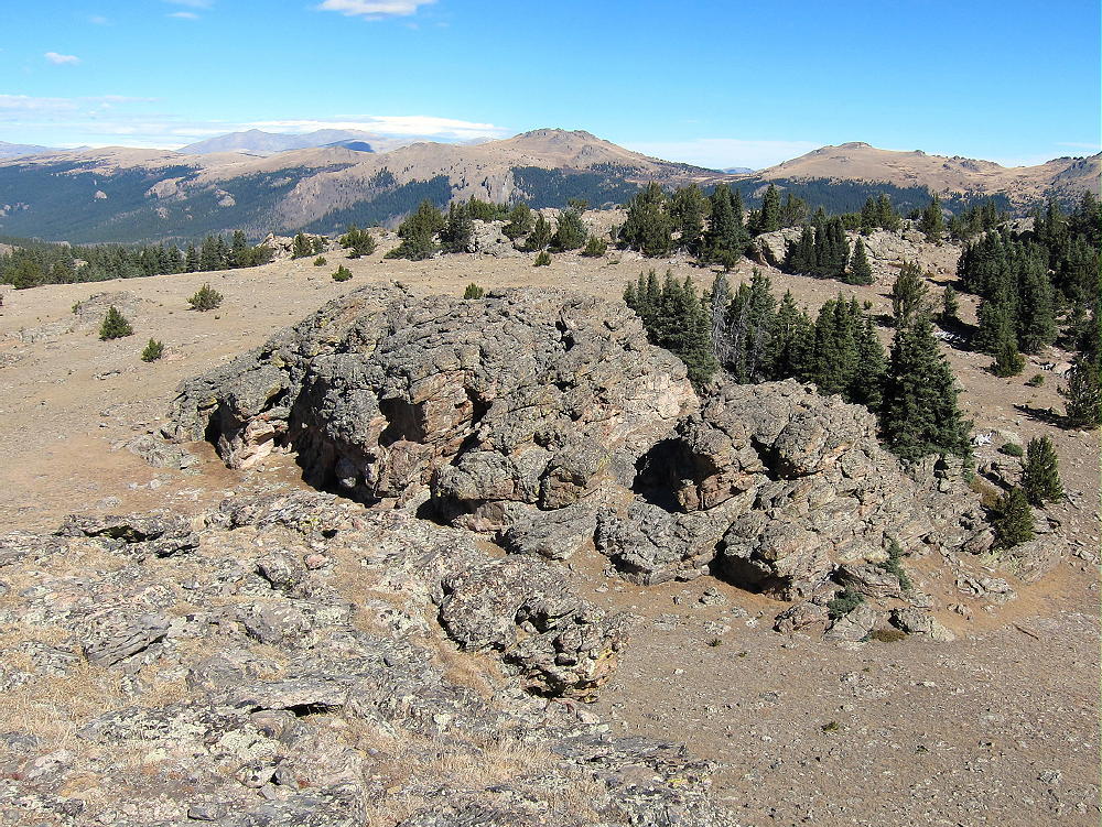
    The prominent summit is very rocky; scorched trees stand all over the slopes.

    The large Activation Zone offers several good places to set up with shelter from wind. Plenty of dead trees are available to support an antenna.  The wind forced me to set up my gear down the northeast side below the top.

    Sheep Mountain is an excellent HF radio site. There are no higher mountains nearby to interfere with HF propagation. The only development is far down in the canyon, so the HF noise level is low. This is probably a poor VHF/UHF site, as there’s only a glimpse of the plains down the Canyon.

    I had a busy HF activation on 7-10-14 MHz, with 30 CW contacts in less than an hour.

    Several other accessible SOTA peaks are nearby:

    W0C/FR-205 7612                        1.7 miles west
    W0C/FR-088 Mount McConnel       2.2 miles southwest
    W0C/FR-198 7980                        3.0 miles east
    W0C/FR-095 Greyrock Mountain    7.3 miles northeast

    Of these, 7612 and Mount McConnel are the best choices for a dual or multiple activation. I had no problem activating 7612 on the same day as Sheep Mountain.

    Use caution during hunting season in the fall – wear orange; and be careful about lightning, especially in spring and summer.

    73

    George
    KX0R


    ATTENTION !! WARNING !! There are old mountaineers, and bold mountaineers… there are no old-bold mountaineers. Hiking and mountain climbing are potentially hazardous activities particularly in Colorado with its extreme elevations. I am not accepting responsibility for any death or injury resulting from activations based on my trip reports. Proper training, experience, and personal capability assessment is required – enjoy!
  • W0C/FR-205 (7612) – 2320 m / 7612 ft

    W0C/FR-205
    7612
    2320 m / 7612 ft
    Oct 20, 2015

    By KX0R

    Peak 7612 is an obscure SOTA summit in the Poudre Canyon west of Fort Collins. It was surprisingly fun to climb and activate!

    Key Points:

    Roosevelt National Forest
    • Accessible trailhead
    • No marked trail
    • Abandoned roads provide a path almost to the summit
    • Good navigation required
    • Minimal bushwhacking via correct route
    • Exciting, open summit with great views of Poudre Canyon
    • No recent fire damage – live trees and bushes
    • Fine HF summit
    • Trailhead elevation ~ 6700 feet
    • ~ 2.7 miles round-trip
    • ~ 900 vertical feet

    Driving Directions:

    • Drive to Fort Collins.
    • Continue northwest from Fort Collins on Highway 287 to Ted’s Place.
    • Turn west on Highway 14, and enter the Poudre Canyon after 4 miles.
    • Continue up the winding canyon road, past the Narrows, for about 23 miles to Mountain Park Campground.
    • This USFS campground is clearly marked.
    • Pass the bridge to the Campground, and drive west about 0.3 miles
    • Park on the right (north) side of the road at a large pull-out, directly across the River from the Campground.

    The Hike:

    • Avoid the obvious trail heading northwest up a gulch – it goes to an informal shooting area.
    • Hike northeast from the parking spot instead, along a less obvious, gentle path through ponderosa pines, for about 100 yards to an old abandoned road.


    • This overgrown road is the easiest way up.
    • First the road climbs progressively up into a large valley west of the mountain.
    • Then it continues up a long, gentle ridge leading north to the west ridge of the mountain.


    • The path intersects a more recent jeep road running along the west ridge.
    • This road comes up a steep hill from the northwest – a jeep road is visible in the distance.
    • This un-maintained trail leads to several old campsites northwest of the summit.
    • The jeep trail ends just beyond these campsites.
    • Most of this route is visible on the magnified Google satellite image.

    Beyond the end of the road, a path climbs southeast along the ridge, where it crosses a prominent false summit with a large buttress on the south side. The route continues along the ridge over several small false summits. The trail gradually disappears, but it’s an easy hike to the actual peak.

    The final climb up the north side of 7612 is steep but short. Most of the mountain is bare, but there are no black burned trees, either standing or down; live trees grow on the north side of the summit.

    Additional Details:

    There are great views for miles in all directions. Mount McConnel stands south of Mountain Park Campground, about a mile directly across the canyon.

    The views down into the canyon are exciting. The Plains are barely visible in the east, but the high peaks to the west are easy to see. The perspective up there is very different from what you have in a vehicle down in the canyon!

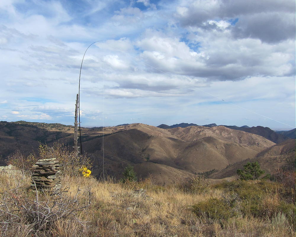
    A large classic cairn made from slabs of gneiss stands on the summit. A dead tree stands near the cairn – it’s anchored down in the rocks, and it’s ideal for holding an antenna pole.

    There’s some shelter from wind on the east side of the rocks by the dead tree, near the cairn; this is where I set up my gear.

    7612 is a fine HF radio summit. It’s very prominent, with little blockage from higher mountains nearby. The only development nearby is far down in the canyon, so the HF noise level is low. With my pole supported by the dead tree near the cairn, I tied the far end of my antenna wire to a piece of another tree stuck into a bush south of the summit.

    My 5-band activation on 7-10-14-18-21 CW was fun – I made 32 contacts in about an hour.

    This site is probably not very effective for VHF/UHF work. The location is too far west into the mountains to see the population centers to the east.

    Several other accessible SOTA peaks are nearby:

    W0C/FR-088 Mount McConnel       1 mile south
    W0C/FR-097 Sheep Mountain        1.7 miles east
    W0C/FR-198 7980                        4.7 miles east
    W0C/FR-095 Greyrock Mountain   8.9 miles east

    Of these, Sheep Mountain and Mount McConnel are the best choices for a dual or multiple activation. I had no problem activating Sheep Mountain on the same day as 7612.

    Use caution during hunting season in the fall, and wear orange clothing. Please be careful about lightning, especially in spring and summer.

    73

    George
    KX0R


    ATTENTION !! WARNING !! There are old mountaineers, and bold mountaineers… there are no old-bold mountaineers. Hiking and mountain climbing are potentially hazardous activities particularly in Colorado with its extreme elevations. I am not accepting responsibility for any death or injury resulting from activations based on my trip reports. Proper training, experience, and personal capability assessment is required – enjoy!
  • W0C/FR-088 (Mount McConnel) – 2445 m / 8020 ft

    W0C/FR-088
    Mount McConnel
    2445 m / 8020 ft
    Oct 9, 2015
    Nov 8, 2015 with N0TA
    Sep 3, 2016 with N0TA

    By KX0R

    Mount McConnel is a fine SOTA peak in the Poudre Canyon area.

    Key points:

    • Maintained trail all the way to the top
    • Roosevelt National Forest
    • Accessible trailhead
    • Easy hike
    • Good views and scenery
    • Popular in summer
    • Large activation zone
    • Most of the summit area was burned in 2012
    • ~ 4.2 miles round-trip
    • ~ 1300 vertical feet

    Driving Directions:

    • Drive to Fort Collins
    • Continue northwest from Fort Collins on Highway 287 to Ted’s Place.
    • Turn west on Highway 14, and enter the Poudre Canyon after 4 miles.
    • Continue up the winding canyon road, past the Narrows, for about 23 miles to Mountain Park Campground

    • This USFS campground is clearly marked.
    • Access is via a bridge on the south side of the main highway.
    • The trailhead is in the campground area.
    • Cross the bridge to find the trailhead.

    Across the bridge, a right turn leads to special parking for trail-users; parking is limited, and a fee may be charged. If the campground’s closed, park just east of the bridge along the main highway, and walk across the bridge.

    The Hike:

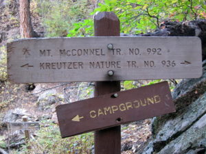
    The Mount McConnel Trail # 992 heads up the north side of the mountain from the campground area. After about ½ mile, the path meets the William Kreutzer Nature Trail # 936 – continue up the main trail, which ascends several switchbacks on the north side of the mountain.

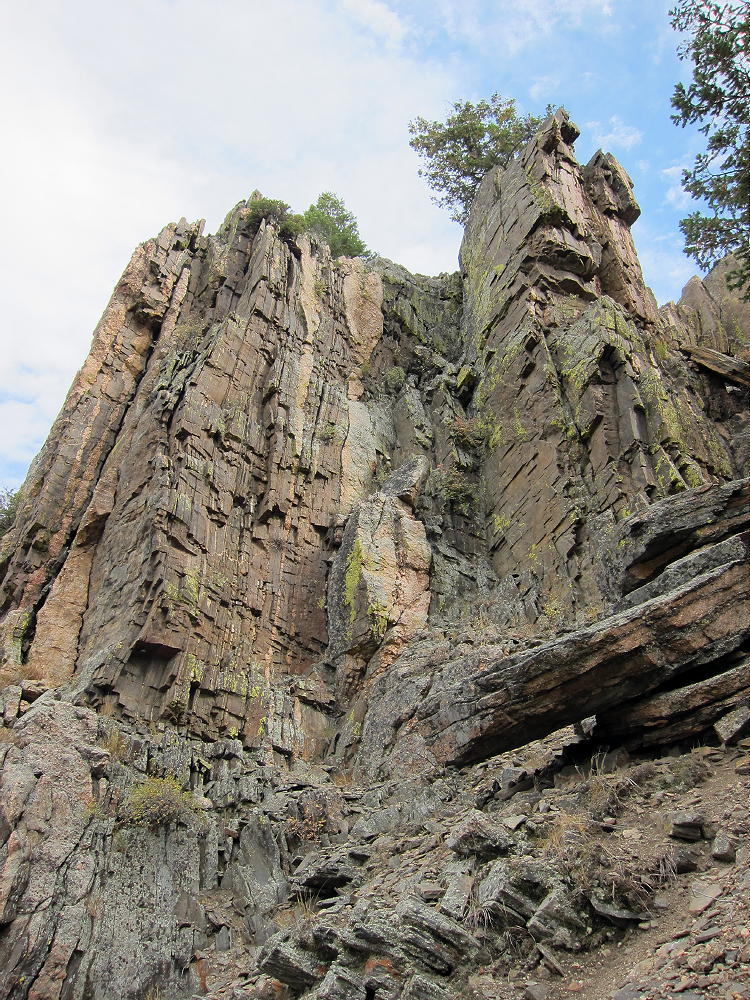
    The route continues up a ridge northwest of the summit – there are good views of the Canyon.  The trail passes some interesting metamorphic rock formations with vertical beds.

    Part of the summit forest burned in the High Park Fire of 2012.

    As the trail approaches the mountaintop, an unmarked fork leads west 200 yards to the summit area. The actual peak is the top of a large rock formation. The spacious Activation Zone offers plenty of room to set up, either near the peak, or on other convenient rock formations in the Zone. When the forest burned, the summit area became more open and sunny.

    Additional Details:

    The main trail continues east from the fork near the summit, traverses several sub-peaks, and leads down the east ridge of the mountain. Then it descends steeply down a “primitive trail” – this is an accurate description. On my first trip up, I ascended via the primitive trail, and it’s steep, with large steps required on some big rocks. It would not be a good route in winter – the main trail is much better. The primitive trail is an alternate, more challenging route with great views down into the Canyon; this path eventually connects with the Kreutzer Nature Trail at a fork. The Nature Trail leads west and connects with the main trail above the Campground. The northern path leads down toward the River and ends by the bridge at the entrance to the Campground.

    Trail 992 is a popular trail. In summer an early start is advised, partly to avoid thunder storms, and also because parking is limited.  This trail is a National Recreation Trail and was built by the CCC in the 1930’s.  R.C. McConnel was an early National Forest ranger in the area.

    Mount McConnel is a superb HF radio site. The Activation Zone contains several large rock outcrops upon which you can set up radio gear and operate; there are trees to support a pole, and some shelter from wind is available. An activation “on the rocks” provides additional height for the antenna, enhancing HF propagation.

    The only development near the mountain is at the campground far below, so the HF noise level is very low.

    On Oct 9, 2015, I made 30 contacts on 7, 10, 14, and 18 MHz CW during my 1 hour, 5 minute activation.

    On Nov 8, 2015, N0TA and I activated McConnel together. John made 20 contacts on 14 MHz CW, while I made 28 contacts on 7, 10, 18, and 21 Mhz CW nearby.

    On Sep 3, 2016, N0TA and I again activated McConnel together. John made 30 contacts on 10 and 14 MHz CW, while I made 27 contacts on 7, 10, and 14 MHz CW.

    McConnel is probably a poor VHF/UHF site, due to its location in the Poudre Canyon. The Plains are hidden behind other mountains, and coverage of populated areas is limited.

    Several other SOTA peaks are nearby, and a dual activation is possible:

    Peak 7612                W0C/FR-205    ~ 1 mile north across the Canyon
    Sheep Mountain        W0C/FR-097    ~ 2 miles east
    7980                        W0C/FR-198    ~ 5 miles east
    Greyrock Mountain    W0C/FR-095    ~ 9.5 miles east

    These mountains are all 1-point summits, with rocky tops and challenging hikes. Many excellent higher SOTA peaks are farther west, near Cameron Pass, etc.

    Mountain Park Campground offers camping in the warmer months, and there are many other campgrounds in the Poudre Canyon. Numerous opportunities for mountain recreation are available across the area – hiking, fishing, rafting, climbing, backpacking, biking, etc.

    73

    George
    KX0R


    ATTENTION !! WARNING !! There are old mountaineers, and bold mountaineers… there are no old-bold mountaineers. Hiking and mountain climbing are potentially hazardous activities particularly in Colorado with its extreme elevations. I am not accepting responsibility for any death or injury resulting from activations based on my trip reports. Proper training, experience, and personal capability assessment is required – enjoy!
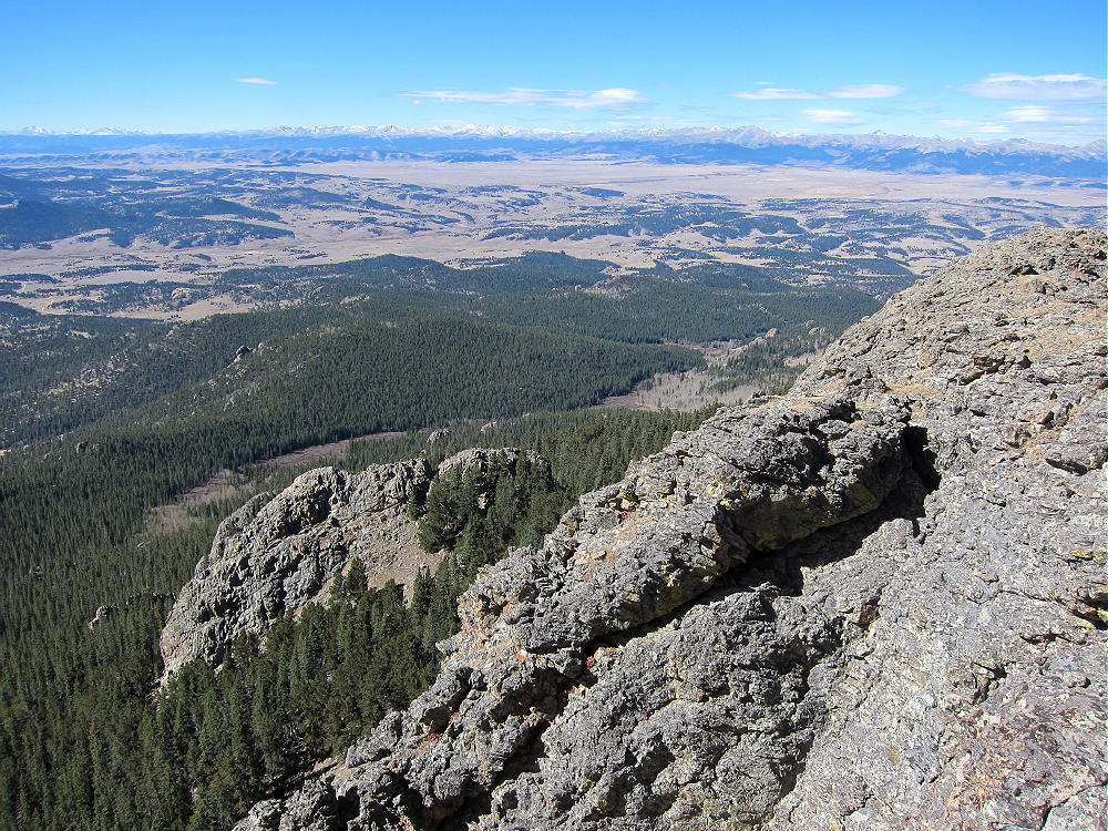
  • W7U/SU-058 (Aztec Butte) – 1924 m / 6312 ft

    W7U/SU-058
    Aztec Butte
    1924 m / 6312 ft
    Dec 02, 2015
    Nov 27, 2016

    By KX0R

    Aztec Butte is an interesting high desert summit in the northern part of Canyonlands National Park, near Moab, Utah.

    Key Points:

    Canyonlands National Park
    Island in the Sky area
    • Paved highway to the trailhead
    • Marked trail to the top
    • Flat-topped mesa
    • Hike up Butte is on solid, sloping rock
    • A few moves – careful, big steps – required to ascend the summit
    • Superb HF site
    • ~ 1.3 miles round trip
    • ~ 200 vertical feet

    Driving Directions:

    • Drive north from Moab on Highway 191.
    • Pass the entrance to Arches National Park
    • Continue north about 6.5 miles
    • Turn left, southwest, onto Highway 313.
    • Drive up a canyon and across high mesa terrain.
    • Follow the signs all the way to Canyonlands National Park.
    • It’s about 21 miles from Highway 191 to the National Park.
    • Pass through the Entrance Station – a fee may be required
    • Continue south on Grand View Point Road about 6.3 miles
    • Turn right, northwest, on a marked paved road toward Upheaval Dome.
    • Drive 0.9 mile
    • The signed trailhead for Aztec Butte is on the northeast side of the road
    • Park in the large parking lot

    The Hike:

    • Please read the sign at the trailhead – there’s useful information.
    • Shoes or boots with a good grip are required for safety
    • Follow the trail toward Aztec Butte.
    • This easy route passes a smaller southwestern butte on the left.
    • Then the trail splits – but there’s no sign.
    • Take the right fork and continue up toward the higher northeastern Butte.
    • Follow the cairns up the west corner of the Butte.

    • Follow the cairns and continue across to the south corner.


    • The last part of the climb requires a few careful steps up the sandstone.

    Additional Details:

    The Butte is more than 1/2 mile from the trailhead, and it takes 15 to 20 minutes to climb to the summit.

    The large top of the Butte is delightful – it’s open and nearly flat, so it’s all in the Activation Zone. Some trees are available to support a pole or a wire. A scenic path leads all the way around the edge of the Butte, and there are views in all directions.

    A deep canyon drops off the north side, but the Butte is surrounded by flat terrain at about 6100 feet elsewhere. It’s an ideal HF radio summit.

    On Dec 2, 2015, it was a cold, sunny, winter afternoon, about an hour before sunset. My activation was fun, with 33 HF CW contacts on 40-30-20M in about 40 minutes.

    On Nov 27, 2016, conditions were similar – I made 25 CW contacts on 40-30-20M.

    Note that Aztec Butte qualifies for a winter bonus of 3 points Dec 1 – Mar 31.

    Aztec Butte might not be so much fun during the middle part of the day in summer! There’s no longer a summer bonus on this peak.

    The Knoll W7U/GR-031 is located near Highway 313, about 12 miles north of Aztec Butte, so it’s possible to combine these summits for a dual activation.

    There are many spectacular attractions in this part of Canyonlands National Park, including Upheaval Dome, Grandview Point, Mesa Arch, etc.

    73

    George
    KX0R


    ATTENTION !! WARNING !! There are old mountaineers, and bold mountaineers… there are no old-bold mountaineers. Hiking and mountain climbing are potentially hazardous activities particularly in Colorado with its extreme elevations. I am not accepting responsibility for any death or injury resulting from activations based on my trip reports. Proper training, experience, and personal capability assessment is required – enjoy!
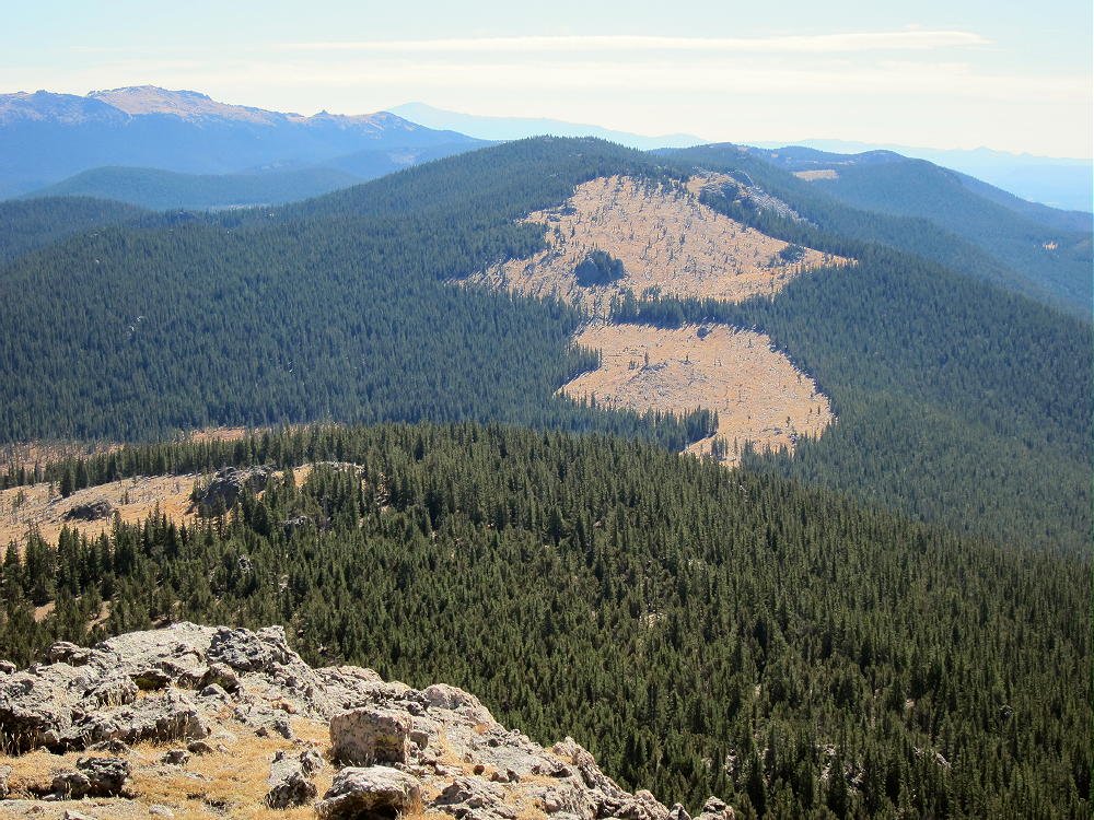
  • W7U/GR-031 (The Knoll) – 1925 m / 6316 ft

    W7U/GR-031
    The Knoll
    1925 m / 6316 ft
    Dec 01, 2015
    Nov 26, 2016

    By KX0R

    The Knoll is one of the easiest SOTA summits I’ve activated. I relied on KT0A’s helpful tips on the SOTA summit page.

    Key Points:

    • Short, fun hike
    • No marked route to the top
    • Great views of the Canyonlands near Moab, Utah
    • Fine HF site
    • Hike less than ¼ mile
    • Vertical gain ~ 120 feet

    Driving Directions:

    • From Moab, take Highway 191 north
    • Drive past the main entrance to Arches National Park
    • Continue northwest about 6.5 miles to Highway 313
    • Turn left, southwest
    • Follow the signs to Dead Horse Point State Park
    • Drive about 14.8 miles to a marked fork, where Highway 313 heads left, east, toward Dead Horse Point State
    • The Knoll stands just east of the fork
    • Park off the highway about 200 yards east of the junction, on the north side of Road 313.

    The Hike:

    • Hike northeast toward The Knoll
    • A jeep road east of the parking spot leads to the west side of the butte.
    • Walk up the jeep road about 150 yards.
    • Follow a social trail south of The Knoll to the east side of the rock outcrop.
    • There’s no need to do any rock-climbing or scrambling.
    • A faint path leads up a rocky slope a short distance to the top of the butte.

    Additional Details:

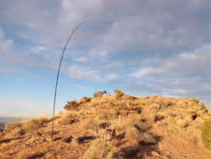
    The summit is small, relatively flat, and there’s little to hold a pole.

    I set up a short distance south of the top. I guyed my 20-foot pole with three cords tied to rocks. A pole that you can guy, or a self-supporting antenna, is essential to activate The Knoll.

    The Knoll is a near-perfect radio summit. The relatively flat surrounding terrain provides good reflection at low angles.

    On 01 Dec 2015, I made 22 CW contacts on 40, 30, and 20M.

    On 26 Nov 2016, I made 25 CW contacts on 40, 30, and 20M.

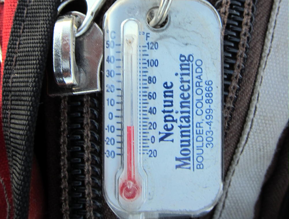
    When I climbed The Knoll on Dec 1, 2015, the north side was snowy, but the south side was clear. At 2300Z, it was warm sitting in the late-afternoon sun, even though the temperature was near freezing – fortunately there was almost no wind. As soon as the sun went down, the temperature fell rapidly, and it was well below freezing in a few minutes.  I really earned my Winter Bonus Points after sunset!

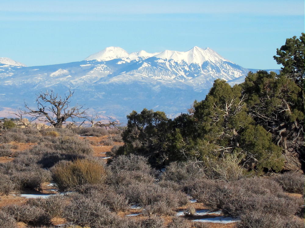
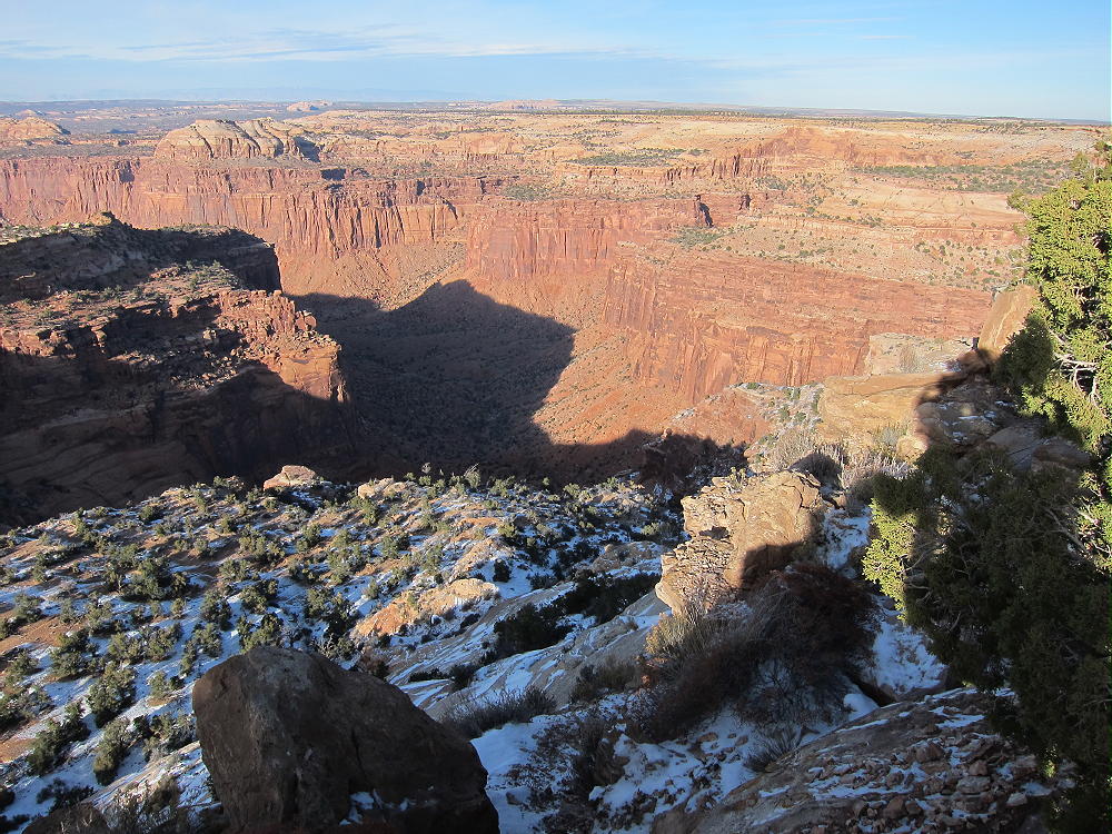
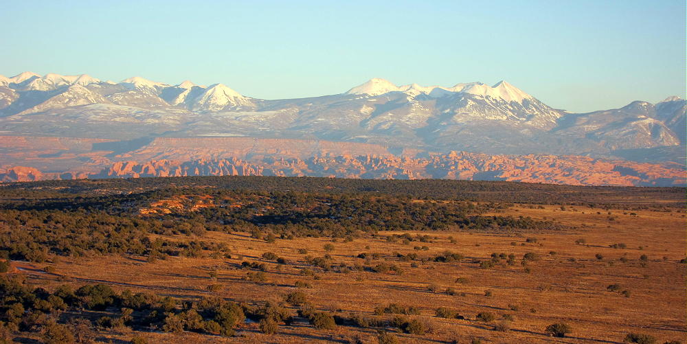
    The Knoll is only about 120 vertical feet above the road, yet it has nice views in every direction – the La Sal Mountains, Island of the Sky, vast canyonlands, and distant mountain ranges are visible from the summit. This little butte is actually the high point of a huge elevated mesa area covering many square miles.

    The Knoll can be combined with nearby Aztec Butte, W7U/SU-058, about 12 miles to the south, in Canyonlands National Park, for a dual activation.

    Numerous recreation spots with amazing scenery are nearby, at Dead Horse State Park, Canyonlands National Park – Island of the Sky, Arches National Park, etc.

    73

    George
    KX0R


    ATTENTION !! WARNING !! There are old mountaineers, and bold mountaineers… there are no old-bold mountaineers. Hiking and mountain climbing are potentially hazardous activities particularly in Colorado with its extreme elevations. I am not accepting responsibility for any death or injury resulting from activations based on my trip reports. Proper training, experience, and personal capability assessment is required – enjoy!
  • W7Y/EW-017 (Leg Benchmark) – 2760 m / 9055 ft

    W7Y/EW-017
    Leg Benchmark
    2760 m / 9055 ft
    Aug 7, 2016

    With N0TA

    By KX0R

    Leg Benchmark is a prominent peak in the Sherman Mountains of southeastern Wyoming.

    Key Points:

    Medicine Bow National Forest – Pole Mountain Area
    • Access part-way on a nice trail
    • No marked trail up the ridge
    • Route finding required
    • Game trails and some bushwhacking
    • Summit is rarely visited
    • Fine HF/VHF/UHF site
    • ~ 4.2 miles round-trip
    • ~ 600 vertical feet

    Driving Directions:

    • Drive to Cheyenne, Wyoming
    • From the junction with I-80, follow I-25 north about 1 mile to Happy Jack Road 210.
    • Drive west on the paved Happy Jack Road for about 20 miles to the Laramie Mountains
    • Climb west on 210 to a partly-forested plateau, and continue into the Medicine Bow National Forest
    • About 4-1/2 miles past the forest boundary, turn left, west, on marked FR-707 – this is a bumpy 2WD dirt road.
    • Drive about 1-1/2 miles west and southwest on FR-707.
    • Look for a trailhead on the west side of the road, where the road is heading south
    • Park at the trailhead for Trail 791– there is no charge
    • Happy Jack Road 210 is also accessible from I-80 at the Sherman Summit.

    The Hike:

    • Google Maps show few of the hiking trails or trailheads in this area
    • Some of the trails and trailheads are shown on the Medicine Bow National Forest visitor map

    Here is a really good map of the area near Leg Benchmark.  Here’s another amazing map that zooms.

    • GPS is very useful here
    • Hike west on Trail 791. This trail is called Headquarters Trail on the USGS topo map.
    • The trail has been re-routed and now ascends via a big switchback.
    • Continue up to a gate leading into a large meadow – this is Browns Landing


    • The trail soon splits – take the right fork north along the ridge, around the eastern side of the meadow.
    • It’s possible to climb up to the south ridge of Leg and then head NNW up the summit ridge to the top – this is off-trail, and is best done with GPS.
    • Avoid steep rocks and talus on both sides of the Leg BM ridge.
    • Otherwise, for a slightly easier but longer route, continue on the trail as it leads NNW among some trees above the meadow.
    • Leg BM ridge is immediately to the east here
    • At the next fork, head NNE up a trail in a small draw; climb ¼ mile to a small saddle near 8920 feet.
    • At the saddle, leave the trail, and follow a faint, unmarked path SE up and along the summit ridge.
    • The route’s rocky and brushy; it leads 1/3 mile to the peak.
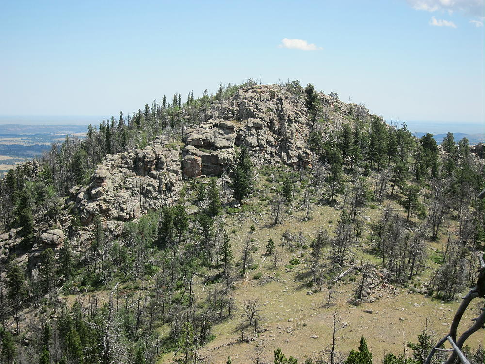
    • The summit is the highest of several sub-peaks on the ridge-top.

    • Several rocky points in the general area of Leg BM are almost as high, so it’s important to navigate to the actual SOTA peak.  Pole Mountain is just southeast of Leg BM – it’s almost as high at 9040 feet, so it could cause confusion:

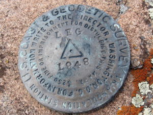
    • There are two primary benchmarks on the peak. The USCGS BM from 1948 says “LEG”. The USGS BM from 1947 says “Pole”. Pole Mountain is actually about 1/3 mile to the SE from Leg. Go figure….

    Additional Details:

    Trail 791 is somewhat popular. It’s well-built, maintained, and used in all seasons. The trailhead for the west end is just north of the statue of President Lincoln at the top of I-80. Access to Leg BM from the west end is probably as easy as the route detailed here, although it’s slightly longer.  Here’s a detailed account of that route.

    Plenty of good spots are available for setting up radio gear along the summit ridge. The activation zone is very long north to south. There are many dead trees for supporting a wire or a pole.

    Leg Benchmark is a near-perfect radio summit – it falls away in all directions.  With no development nearby, the noise level is very low.  KX0R made 32 CW contacts on 7-10-14-18 MHz, including 3 summit-to-summit (S2S) contacts.

    This peak is likely a good VHF/UHF summit for parts of southeast Wyoming and northeastern Colorado, but it’s partly blocked to the west by the local terrain. The summit history shows some 2 meter contacts.

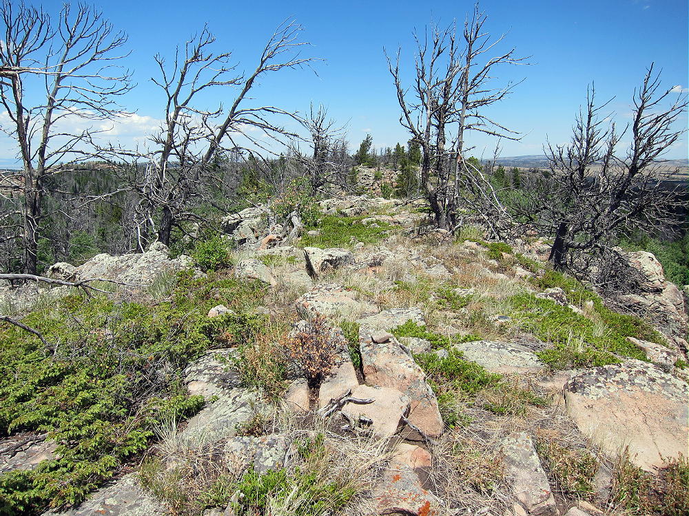
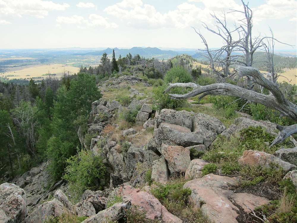
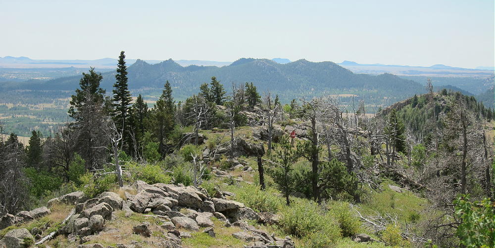
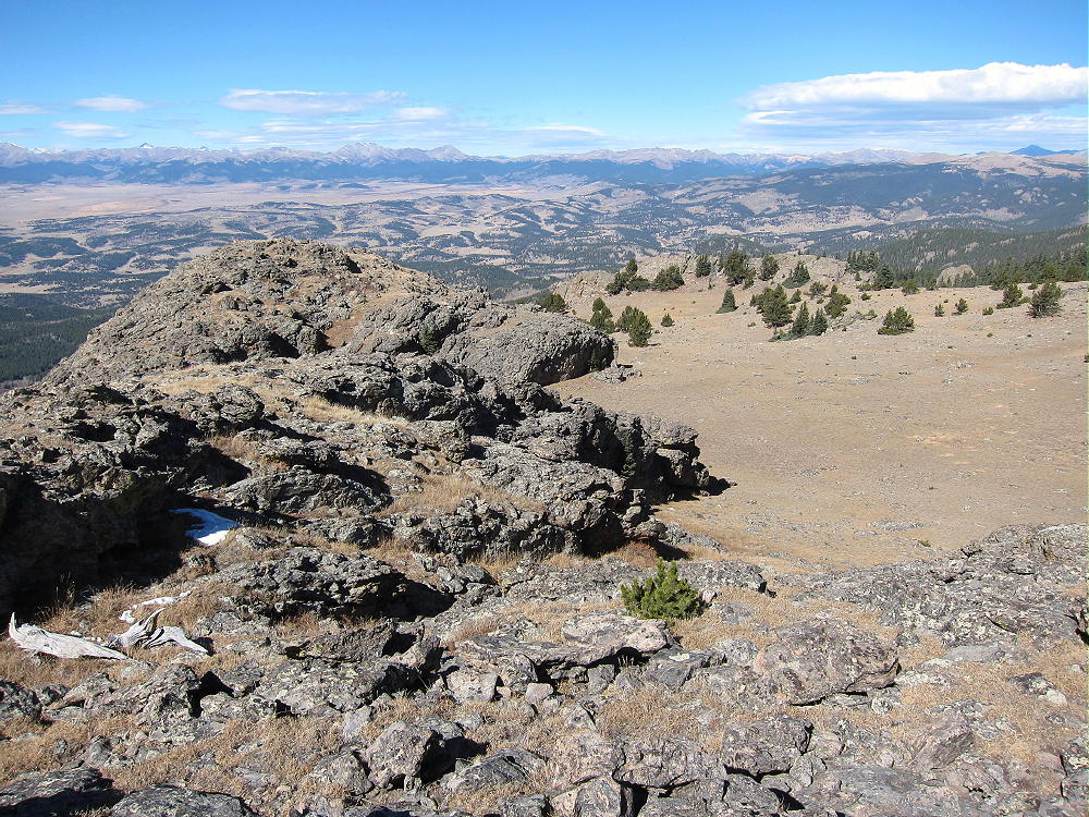
    The summit ridge is a really nice place to be in good weather. It looks out over most of southeast Wyoming, and the views seem endless. Many of the trees are dead, so the ridge is wide open. This is the top of the Sherman Mountains, which are part of the much larger Laramie Range. Not many people visit the long ridge, probably because there’s no real trail.

    The ridge is made of resistant orange igneous rock, probably granite or one of its relatives. There’s a path along the ridge, so it’s easy to move north or south.

    The only bad thing about the Sherman Mountains, is that everywhere you look you think you see other possible SOTA peaks – there are numerous craggy summits – but apparently none of them have enough prominence!

    73

    George
    KX0R


    ATTENTION !! WARNING !! There are old mountaineers, and bold mountaineers… there are no old-bold mountaineers. Hiking and mountain climbing are potentially hazardous activities particularly in Colorado with its extreme elevations. I am not accepting responsibility for any death or injury resulting from activations based on my trip reports. Proper training, experience, and personal capability assessment is required – enjoy!
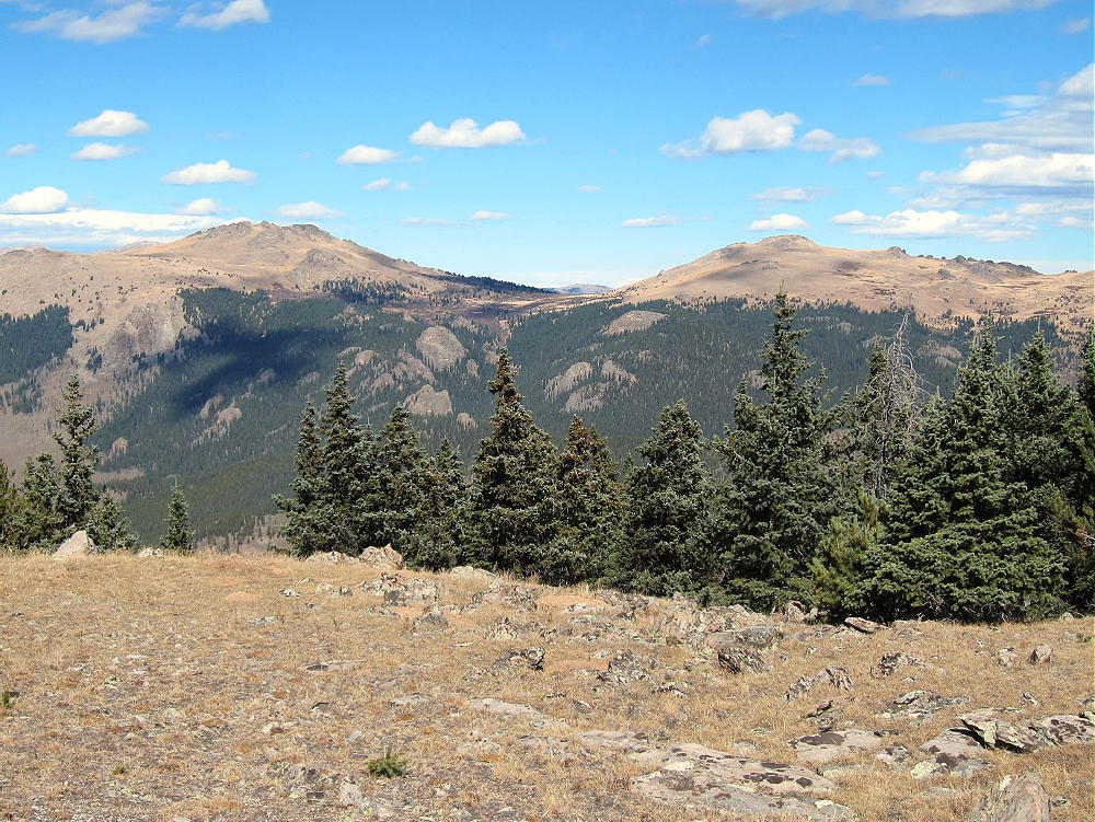
  • W0C/FR-066 (Tappan Mountain) – 2724 m / 8954 ft

    W0C/FR-066
    Tappan Mountain
    2724 m / 8954 ft
    Nov 15, 2015 – with N0TA
    Nov 11, 2016 – with N0TA

    by KX0R

    Tappan Mountain is an easy summit in the Pike National Forest a few miles north of Lake George.

    Key Points:

    • Pike National Forest
    • Jeep road most of the way
    • No marked trail, but path to the top
    • Navigation and route-finding required
    • Nice open summit
    • ~ 1.6 miles round-trip
    • ~ 450 feet vertical

    Driving Directions:

    THIS MAP is very useful in the Pike National Forest.

    • Drive to Woodland Park on Highway 24, west of Colorado Springs
    • Continue west through Divide, Florissant, and Lake George
    • Almost 1 mile north of Lake George, turn north, right, on Highway 77, Tarryall Road
    • Follow this road up a valley north for about 5 miles
    • At 8280 feet, just before Highway 77 reaches a low pass, turn right on dirt FR-210, Platte Springs Road
    • Google Maps are inadequate for navigation in this area
    • Drive up FR-210 about ¼ mile, and turn left on FR-292. This road may not be marked with a number.
    • FR-292 climbs up a short, steep hill and then continues through open forest toward Tappan
    • FR-292 is a jeep road, but 4WD may not be required, if the road’s dry and your vehicle has adequate clearance
    • Where the road splits, go left on FR-292.A
    • FR-292.A climbs up the south side of Tappan Mountain and eventually drops down a steep hill to a power line
    • Park off the road
    • If FR-292 is too rough, snowy, or muddy, park near the bottom and hike up – it’s about 1 mile to Tappan
    • FR-293 also could be used to access Tappan’s east side

    The Hike:

    • Drive or hike up near where FR-292.A reaches maximum elevation on the south side of Tappan
    • Head up the open southwest ridge toward the peak
    • There’s no marked trail to the summit, but game trails provide easy access.
    • It’s also possible to hike up the northeast ridge, or even the south side.

    Additional Details:

    The roads in this area are mostly easy 4WD or 2WD with adequate clearance. If the snow is deep, it would be better to hike or snowshoe the roads than to take a chance of getting stuck back there. From the bottom of Road 210 to the top of Tappan is only about 1.5 miles each way. The road could be gated in winter at the bottom – but it wasn’t closed on various winter dates when we’ve been up there the past two years.

    The summit of Tappan is a rocky point on an extended ridge; the activation zone is large, open, and pleasant.

    There are many good trees and rocks to support a pole or an antenna, and there are views all around.

    This is an excellent HF site – there’s no development near the summit, and the power lines southwest of the peak seem quiet.

    VHF and UHF contacts will be hard to get from Tappan, due to the isolated location.

    Tappan Mountain stands close to several other SOTA peaks and might be combined with any of them for a dual or multiple activation:

    9036                W0C/SP-125   ~ 1.7 miles east
    9083                W0C/SP-124   ~ 2.6 miles southeast
    Blue Mountain   W0C/SP-123   ~ 10 miles south
    Signal Butte      W0C/FR-165   ~ 9 miles east

    9036 is the easiest to combine with Tappan, since they share road access.

    The National Forest near Tappan Mountain looks like good hunting territory – if you go there in the fall, be careful, and wear orange hunter clothing.

    73

    George
    KX0R


    ATTENTION !! WARNING !! There are old mountaineers, and bold mountaineers… there are no old-bold mountaineers. Hiking and mountain climbing are potentially hazardous activities particularly in Colorado with its extreme elevations. I am not accepting responsibility for any death or injury resulting from activations based on my trip reports. Proper training, experience, and personal capability assessment is required – enjoy!
  • W0C/SP-125 (9036) – 2754 m / 9036 ft

    W0C/SP-125
    9036
    2754 m / 9036 ft
    Nov 15, 2015 with N0TA
    Nov 6, 2016 with N0TA
    Feb 20, 2017 with N0TA

    By KX0R

    Peak 9036 is an obscure summit in the Pike National Forest north of Lake George.

    Key Points:

    Pike National Forest
    • Trail most of the way to the top
    • Relatively easy climb
    • Some deadfall near the top
    • Summit area was burned up years ago
    • Great views
    • Excellent HF Site
    • ~ 2.8 miles round trip
    • ~ 530 vertical feet

    Driving Directions:

    THIS MAP is very useful in the Pike National Forest.

    • Drive to Woodland Park on Highway 24, west of Colorado Springs
    • Continue west through Divide, Florissant, and Lake George
    • Almost 1 mile north of Lake George, turn north, right, on Highway 77, Tarryall Road
    • Follow this road up a valley north for about 5 miles
    • At 8280 feet, just before Highway 77 reaches a low pass, turn right on dirt FR-210, Platte Springs Road
    • Drive up FR-210 about ½ mile, and then take the right fork, FR-601, east
    • FR-601 requires moderate clearance, but not 4WD, unless it’s snowy or muddy
    • Follow FR-601 east for about 1 mile: around the north side of a hill, across a fenced shallow valley, to a parking area with a gate
    • This is the trailhead

    The Hike:

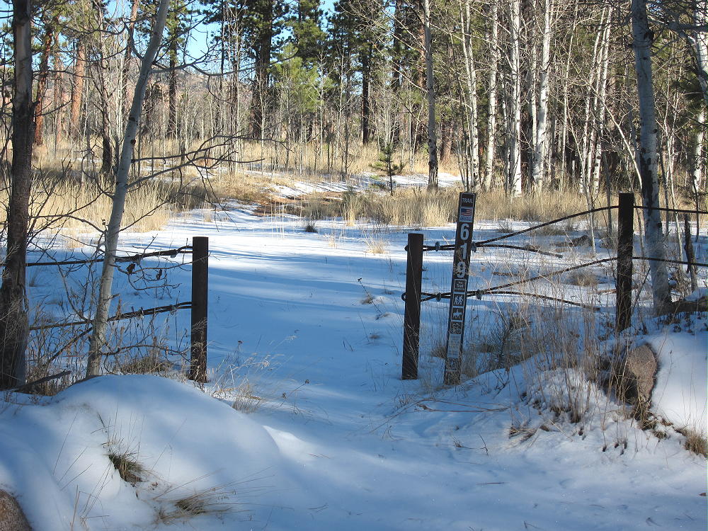
    • A relatively new trail, marked 619, heads northeast from the parking area.
    • This route is shown clearly on the Google satellite image, but not on the Google map.
    • Don’t follow the gated Platte Springs Road east down the hill
    • Trail 619 starts out flat, and then it ascends northeast up a wide draw.

    • At the top of the draw, the trail reaches a saddle between the forested false summit on the east, and the actual summit farther west.
    • Before the saddle, leave the trail and climb northwest up a draw to the ridge
    • Hike west along the ridge less than 0.2 miles to the summit
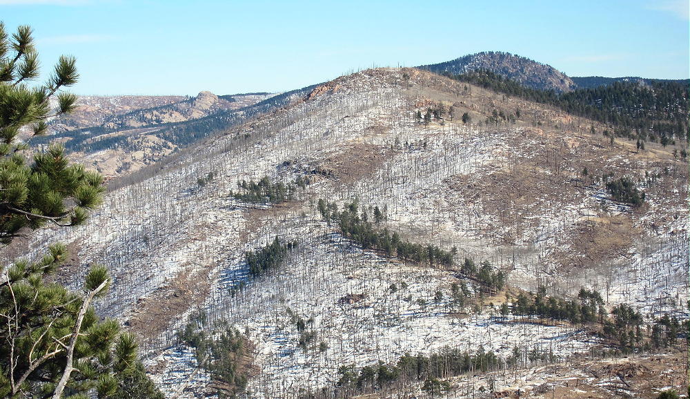
    • The forest near the top was burned by fire.
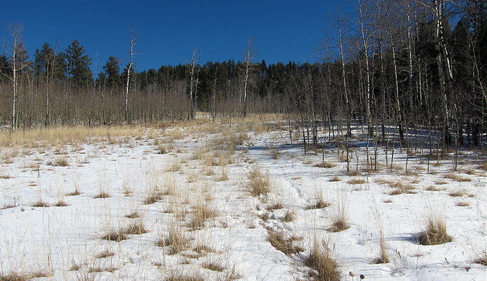
    • Follow game and cattle trails around the aspen thickets

    Additional Details:

    The roads in this area are mostly easy 4WD or 2WD, with adequate clearance. If there’s considerable snow, it would be better to hike or snowshoe in than to risk getting stuck back there. When John Reilly N0TA and I climbed this mountain in mid-November 2015, it was fun, despite some snow on the roads and the trail.

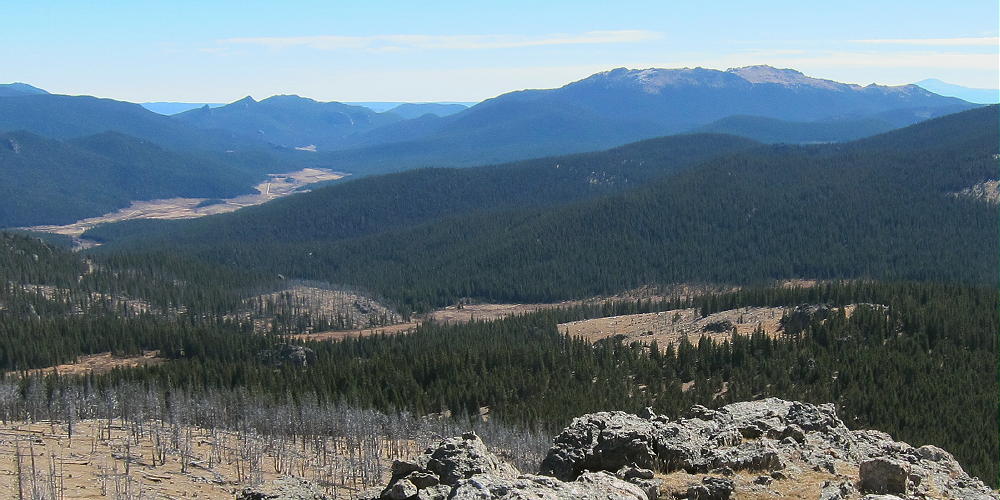
    Great views spread out for miles in all directions. Chessman Reservoir is visible in the South Platte Canyon several miles to the northeast; Devils Head and Long Scraggy Peak stand many miles beyond.  Badger Mountain stands 8.5 miles to the west.

    The summit of 9036 is a rocky knob, and numerous trees and rocks are available to support a pole or an antenna.

    Some shelter from wind is provided by various large rocks. We found this to be an excellent RF-quiet HF site in 2015 and 2016, but in 2017 we heard significant man-made noise on 7 MHz. Nevertheless, this is a fine SOTA site, and we both made plenty of HF CW contacts on all three of our activations up there.

    The isolated location of 9036 suggests that VHF and UHF contacts may be hard to get.

    Peak 9036 is close to several other SOTA peaks and might be combined with any of them for a dual or multiple activation:

    Peak 9083 W0C/SP-124            2.6 miles south
    Tappan Mountain W0C/FR-066  1.75 miles west
    Blue Mountain W0C/SP-123      10.3 miles south
    Signal Butte W0C/FR-165          7.3 miles east

    The forest near Peak 9036 looks like good hunting territory – in the fall, be careful, and wear hunter orange clothing!
    73

    George
    KX0R


    ATTENTION !! WARNING !! There are old mountaineers, and bold mountaineers… there are no old-bold mountaineers. Hiking and mountain climbing are potentially hazardous activities particularly in Colorado with its extreme elevations. I am not accepting responsibility for any death or injury resulting from activations based on my trip reports. Proper training, experience, and personal capability assessment is required – enjoy!