W7U/SU-058
Aztec Butte
1924 m / 6312 ft
Dec 02, 2015
Nov 27, 2016
By KX0R
Aztec Butte is an interesting high desert summit in the northern part of Canyonlands National Park, near Moab, Utah.
Key Points:
• Canyonlands National Park
• Island in the Sky area
• Paved highway to the trailhead
• Marked trail to the top
• Flat-topped mesa
• Hike up Butte is on solid, sloping rock
• A few moves – careful, big steps – required to ascend the summit
• Superb HF site
• ~ 1.3 miles round trip
• ~ 200 vertical feet
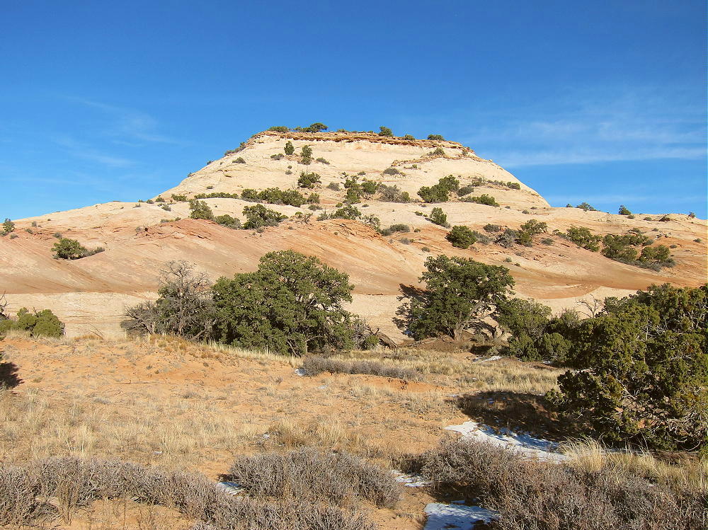
Aztec Butte – Southwest Side
Driving Directions:
• Drive north from Moab on Highway 191.
• Pass the entrance to Arches National Park
• Continue north about 6.5 miles
• Turn left, southwest, onto Highway 313.
• Drive up a canyon and across high mesa terrain.
• Follow the signs all the way to Canyonlands National Park.
• It’s about 21 miles from Highway 191 to the National Park.
• Pass through the Entrance Station – a fee may be required
• Continue south on Grand View Point Road about 6.3 miles
• Turn right, northwest, on a marked paved road toward Upheaval Dome.
• Drive 0.9 mile
• The signed trailhead for Aztec Butte is on the northeast side of the road
• Park in the large parking lot
The Hike:
• Please read the sign at the trailhead – there’s useful information.
• Shoes or boots with a good grip are required for safety
• Follow the trail toward Aztec Butte.
• This easy route passes a smaller southwestern butte on the left.
• Then the trail splits – but there’s no sign.
• Take the right fork and continue up toward the higher northeastern Butte.
• Follow the cairns up the west corner of the Butte.
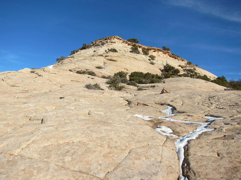
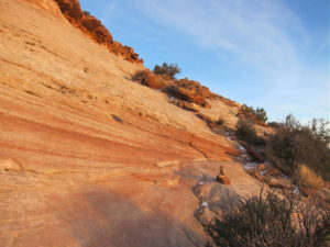
Aztec Butte – Cairned Route up West Corner
• Follow the cairns and continue across to the south corner.
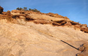
Aztec Butte – Route up South Corner near the Top
• The last part of the climb requires a few careful steps up the sandstone.
Aztec Butte – Route up near South Corner
Aztec Butte – Final Steps up to the Summit
Additional Details:
The Butte is more than 1/2 mile from the trailhead, and it takes 15 to 20 minutes to climb to the summit.
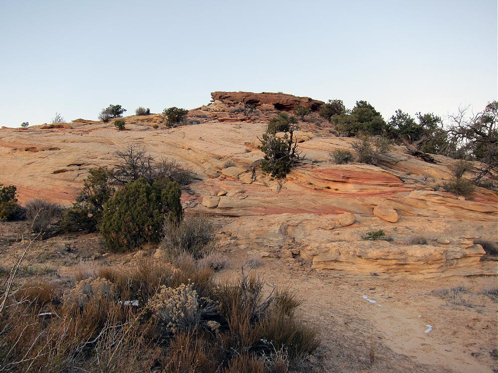
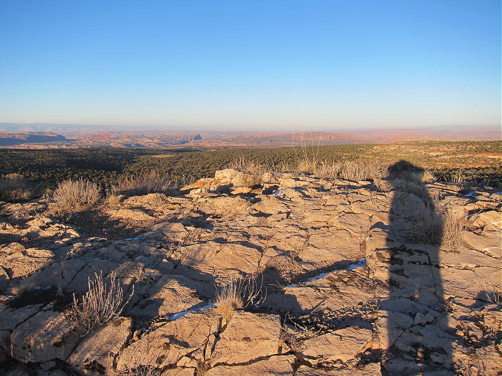
The large top of the Butte is delightful – it’s open and nearly flat, so it’s all in the Activation Zone. Some trees are available to support a pole or a wire. A scenic path leads all the way around the edge of the Butte, and there are views in all directions.
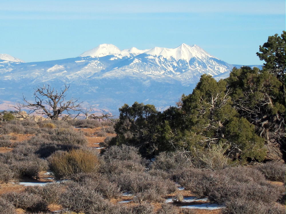
Aztec Butte – View East Across Mesa
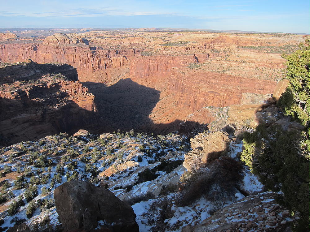
Aztec Butte – View North
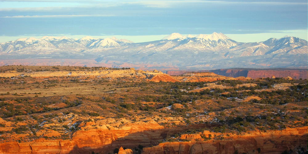
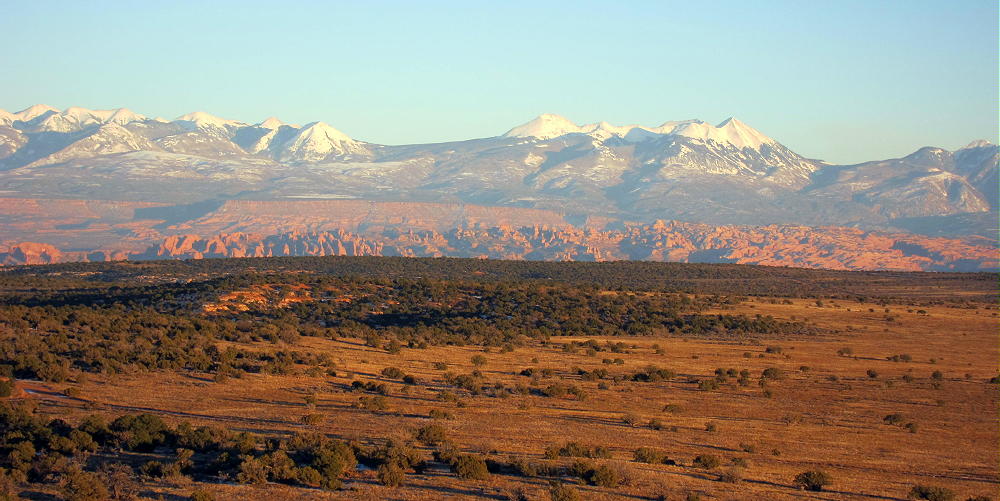
Aztec Butte – View of Canyonlands and La Sal Mountains
A deep canyon drops off the north side, but the Butte is surrounded by flat terrain at about 6100 feet elsewhere. It’s an ideal HF radio summit.
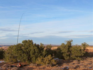
Aztec Butte – SOTA Activation Dec 2, 2015
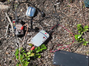
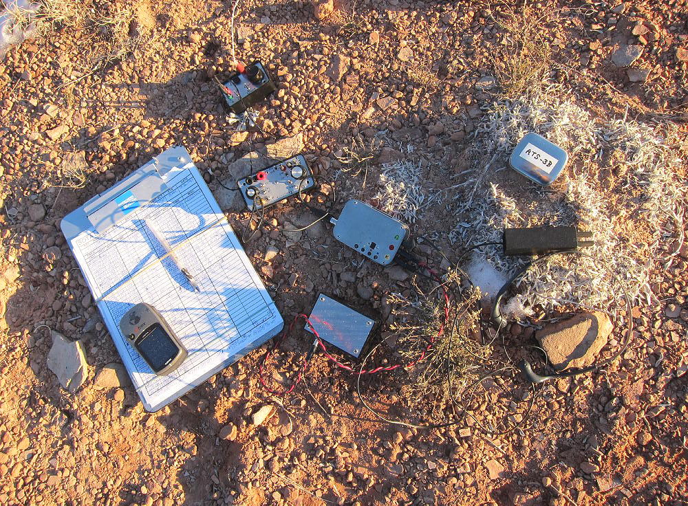
Aztec Butte – SOTA Radio Gear Dec 2, 2015
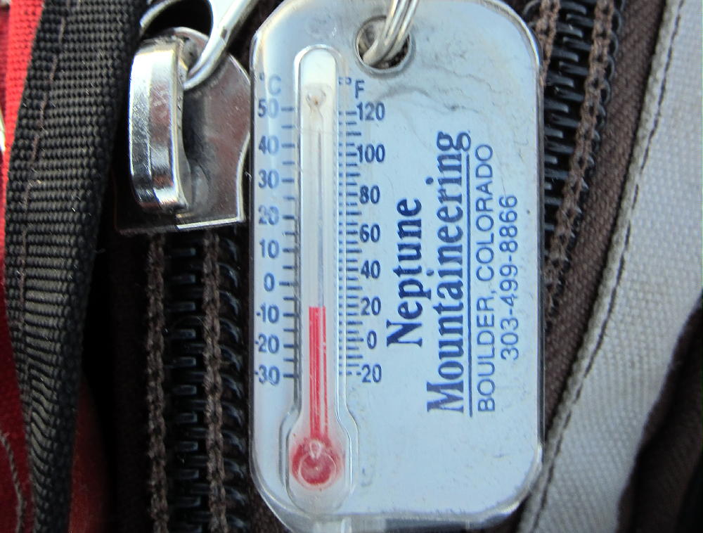
On Dec 2, 2015, it was a cold, sunny, winter afternoon, about an hour before sunset. My activation was fun, with 33 HF CW contacts on 40-30-20M in about 40 minutes.
On Nov 27, 2016, conditions were similar – I made 25 CW contacts on 40-30-20M.
Note that Aztec Butte qualifies for a winter bonus of 3 points Dec 1 – Mar 31.
Aztec Butte might not be so much fun during the middle part of the day in summer! There’s no longer a summer bonus on this peak.
The Knoll W7U/GR-031 is located near Highway 313, about 12 miles north of Aztec Butte, so it’s possible to combine these summits for a dual activation.
There are many spectacular attractions in this part of Canyonlands National Park, including Upheaval Dome, Grandview Point, Mesa Arch, etc.
73
George
KX0R
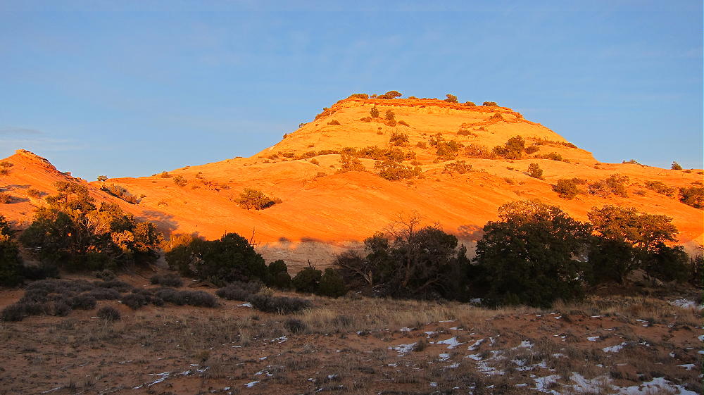
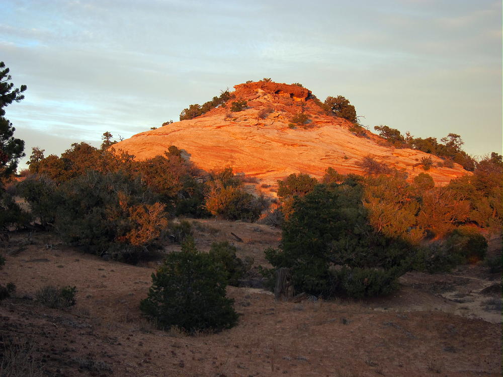
Aztec Butte at Sunset
!! WARNING !! There are old mountaineers, and
bold mountaineers… there are no old-bold mountaineers.
Hiking and mountain climbing are potentially hazardous activities particularly in Colorado with its extreme elevations. I am not accepting responsibility for any death or injury resulting from activations based on my trip reports. Proper training, experience, and personal capability assessment is required – enjoy!
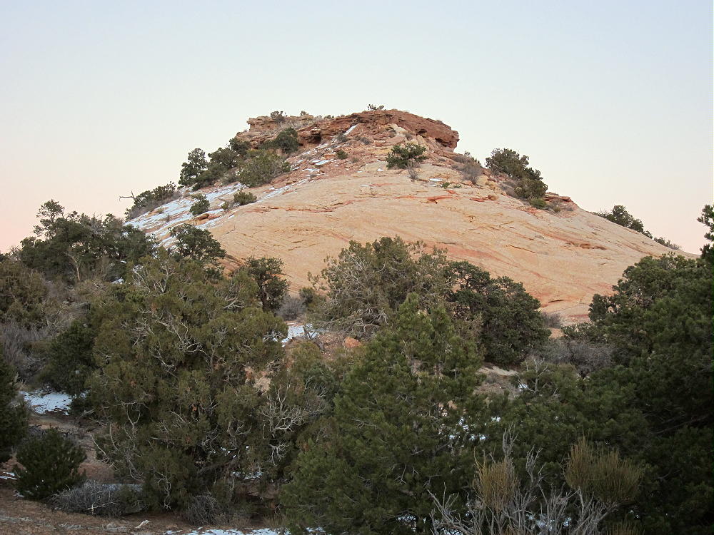
W7U/GR-031
The Knoll
1925 m / 6316 ft
Dec 01, 2015
Nov 26, 2016
By KX0R
The Knoll is one of the easiest SOTA summits I’ve activated. I relied on KT0A’s helpful tips on the SOTA summit page.
Key Points:
• Short, fun hike
• No marked route to the top
• Great views of the Canyonlands near Moab, Utah
• Fine HF site
• Hike less than ¼ mile
• Vertical gain ~ 120 feet
The Knoll
Driving Directions:
• From Moab, take Highway 191 north
• Drive past the main entrance to Arches National Park
• Continue northwest about 6.5 miles to Highway 313
• Turn left, southwest
• Follow the signs to Dead Horse Point State Park
• Drive about 14.8 miles to a marked fork, where Highway 313 heads left, east, toward Dead Horse Point State
• The Knoll stands just east of the fork
• Park off the highway about 200 yards east of the junction, on the north side of Road 313.
The Hike:
• Hike northeast toward The Knoll
• A jeep road east of the parking spot leads to the west side of the butte.
• Walk up the jeep road about 150 yards.
• Follow a social trail south of The Knoll to the east side of the rock outcrop.
• There’s no need to do any rock-climbing or scrambling.
• A faint path leads up a rocky slope a short distance to the top of the butte.
The Knoll, Route up the Southeast Side
Additional Details:
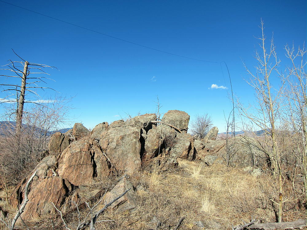
The summit is small, relatively flat, and there’s little to hold a pole.
The Knoll, Summit View Northeast
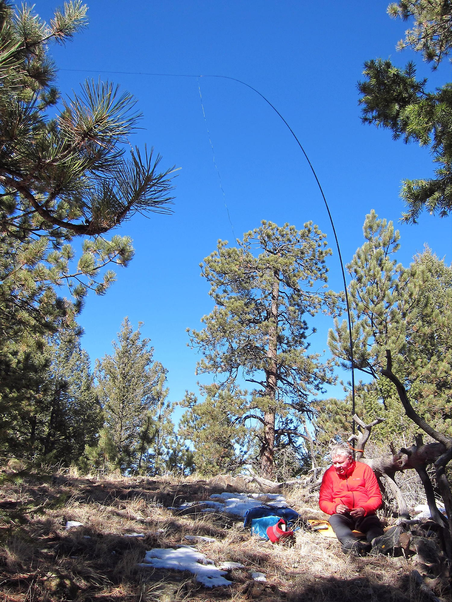
I set up a short distance south of the top. I guyed my 20-foot pole with three cords tied to rocks. A pole that you can guy, or a self-supporting antenna, is essential to activate The Knoll.
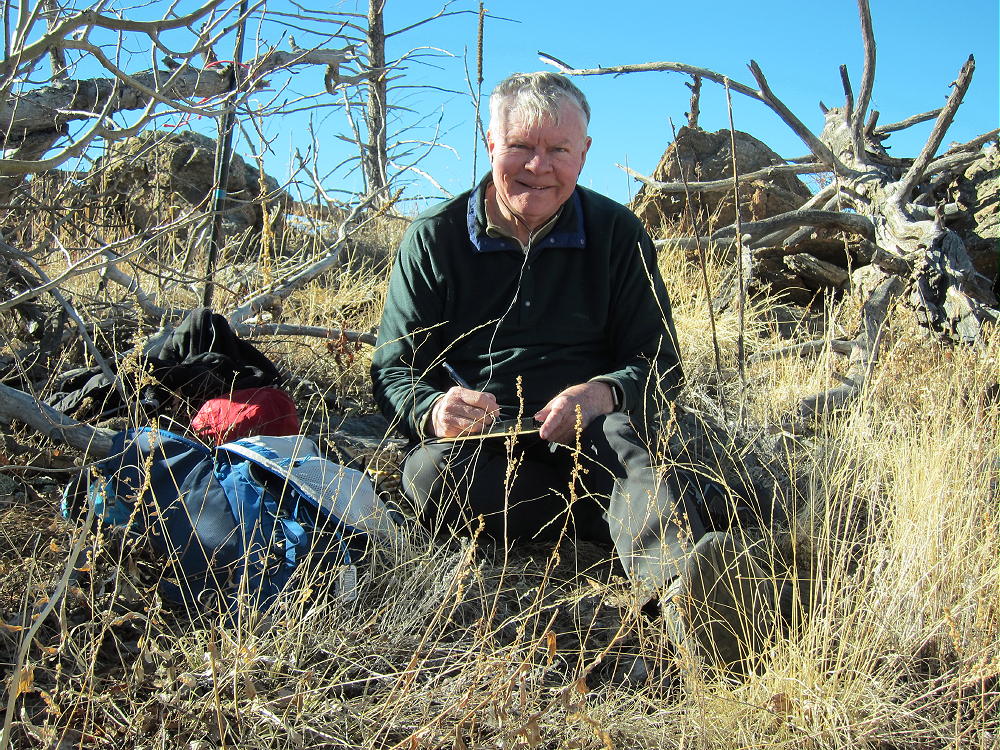
The Knoll, KX0R Activation 01 Dec 2015
The Knoll, KX0R Activation 26 Nov 2016
The Knoll is a near-perfect radio summit. The relatively flat surrounding terrain provides good reflection at low angles.
On 01 Dec 2015, I made 22 CW contacts on 40, 30, and 20M.
On 26 Nov 2016, I made 25 CW contacts on 40, 30, and 20M.
The Knoll, KX0R Radio Gear 01 Dec 2015
When I climbed The Knoll on Dec 1, 2015, the north side was snowy, but the south side was clear. At 2300Z, it was warm sitting in the late-afternoon sun, even though the temperature was near freezing – fortunately there was almost no wind. As soon as the sun went down, the temperature fell rapidly, and it was well below freezing in a few minutes. I really earned my Winter Bonus Points after sunset!
The Knoll, after Activation 01 Dec 2015
The Knoll is only about 120 vertical feet above the road, yet it has nice views in every direction – the La Sal Mountains, Island of the Sky, vast canyonlands, and distant mountain ranges are visible from the summit. This little butte is actually the high point of a huge elevated mesa area covering many square miles.
Numerous recreation spots with amazing scenery are nearby, at Dead Horse State Park, Canyonlands National Park – Island of the Sky, Arches National Park, etc.
73
George
KX0R
The Knoll at Sunset, 26 Nov 2016
!! WARNING !! There are old mountaineers, and
bold mountaineers… there are no old-bold mountaineers.
Hiking and mountain climbing are potentially hazardous activities particularly in Colorado with its extreme elevations. I am not accepting responsibility for any death or injury resulting from activations based on my trip reports. Proper training, experience, and personal capability assessment is required – enjoy!
• Medicine Bow National Forest – Pole Mountain Area
• Access part-way on a nice trail
• No marked trail up the ridge
• Route finding required
• Game trails and some bushwhacking
• Summit is rarely visited
• Fine HF/VHF/UHF site
• ~ 4.2 miles round-trip
• ~ 600 vertical feet
Leg Benchmark – Browns Landing with Leg Benchmark Ridge Above
Driving Directions:
• Drive to Cheyenne, Wyoming
• From the junction with I-80, follow I-25 north about 1 mile to Happy Jack Road 210.
• Drive west on the paved Happy Jack Road for about 20 miles to the Laramie Mountains
• Climb west on 210 to a partly-forested plateau, and continue into the Medicine Bow National Forest
• About 4-1/2 miles past the forest boundary, turn left, west, on marked FR-707 – this is a bumpy 2WD dirt road.
• Drive about 1-1/2 miles west and southwest on FR-707.
• Look for a trailhead on the west side of the road, where the road is heading south
• Park at the trailhead for Trail 791– there is no charge
• Happy Jack Road 210 is also accessible from I-80 at the Sherman Summit.
The Hike:
• Google Maps show few of the hiking trails or trailheads in this area
• Some of the trails and trailheads are shown on the Medicine Bow National Forest visitor map
• GPS is very useful here
• Hike west on Trail 791. This trail is called Headquarters Trail on the USGS topo map.
• The trail has been re-routed and now ascends via a big switchback.
• Continue up to a gate leading into a large meadow – this is Browns Landing
Leg Benchmark – Trail 791 Leading to Browns Landing
Leg Benchmark – KX0R at Browns Landing
• The trail soon splits – take the right fork north along the ridge, around the eastern side of the meadow.
• It’s possible to climb up to the south ridge of Leg and then head NNW up the summit ridge to the top – this is off-trail, and is best done with GPS.
• Avoid steep rocks and talus on both sides of the Leg BM ridge.
• Otherwise, for a slightly easier but longer route, continue on the trail as it leads NNW among some trees above the meadow.
• Leg BM ridge is immediately to the east here
• At the next fork, head NNE up a trail in a small draw; climb ¼ mile to a small saddle near 8920 feet.
• At the saddle, leave the trail, and follow a faint, unmarked path SE up and along the summit ridge.
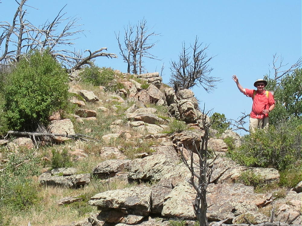
• The route’s rocky and brushy; it leads 1/3 mile to the peak.
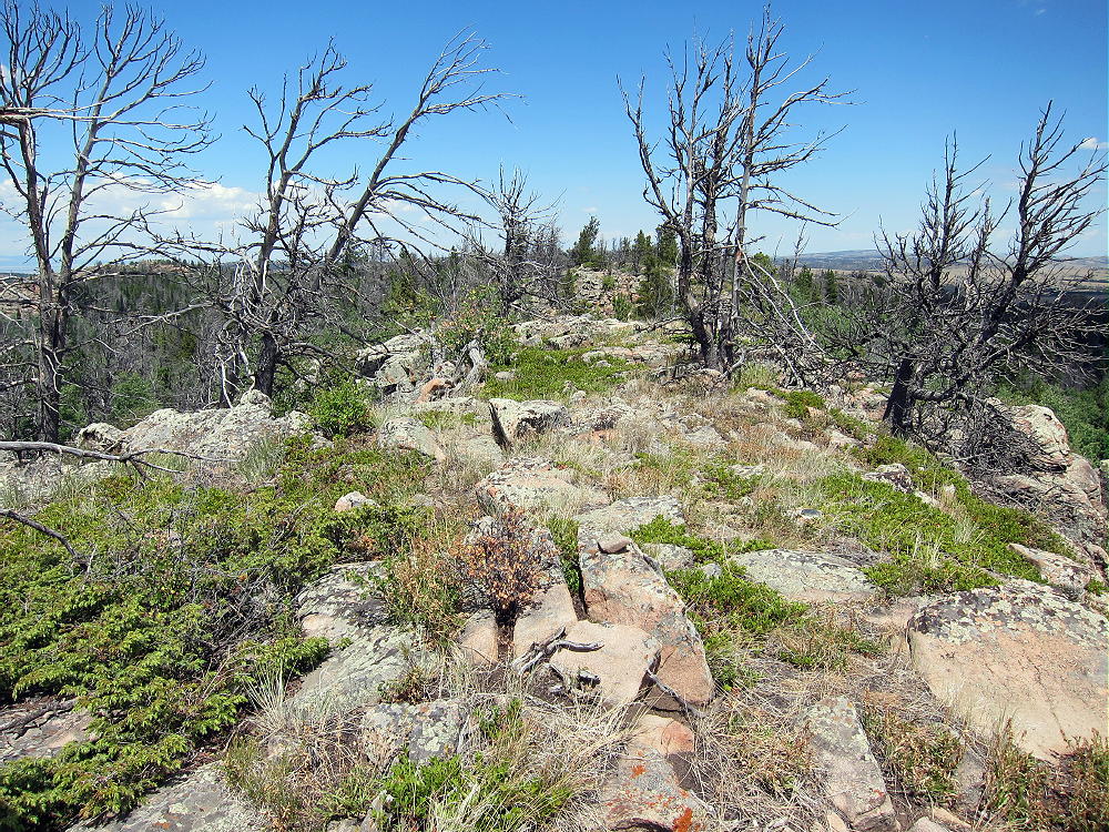
• The summit is the highest of several sub-peaks on the ridge-top.
Leg Benchmark Summit, View North
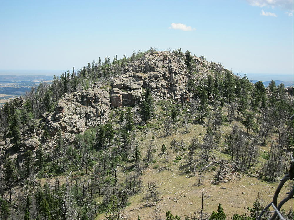
• Several rocky points in the general area of Leg BM are almost as high, so it’s important to navigate to the actual SOTA peak. Pole Mountain is just southeast of Leg BM – it’s almost as high at 9040 feet, so it could cause confusion:
Leg Benchmark – View of Pole Mountain from Leg BM
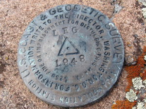
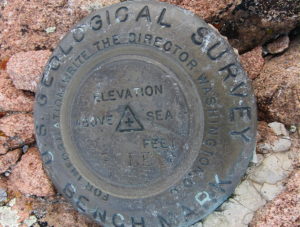
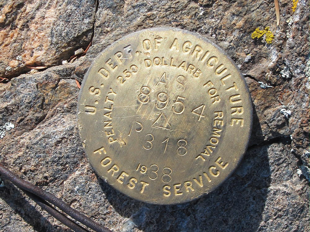
• There are two primary benchmarks on the peak. The USCGS BM from 1948 says “LEG”. The USGS BM from 1947 says “Pole”. Pole Mountain is actually about 1/3 mile to the SE from Leg. Go figure….
Leg Benchmark – USCGS Benchmark from 1948, “LEG”
Leg Benchmark – USGS Benchmark from 1947, “POLE”
Additional Details:
Trail 791 is somewhat popular. It’s well-built, maintained, and used in all seasons. The trailhead for the west end is just north of the statue of President Lincoln at the top of I-80. Access to Leg BM from the west end is probably as easy as the route detailed here, although it’s slightly longer. Here’s a detailed account of that route.
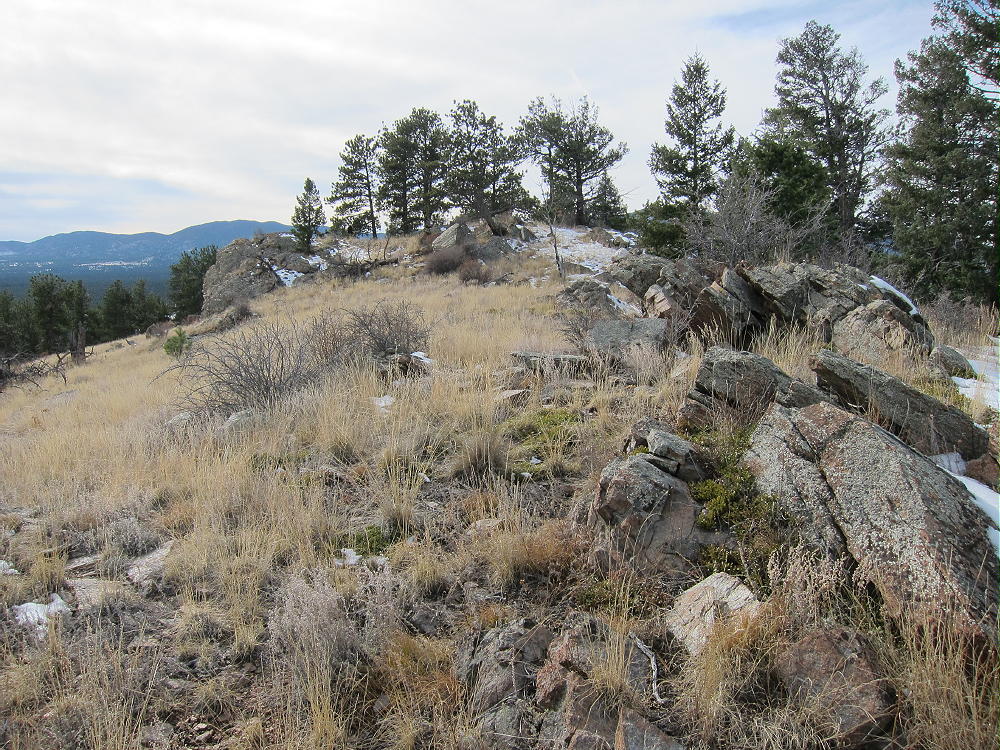
Plenty of good spots are available for setting up radio gear along the summit ridge. The activation zone is very long north to south. There are many dead trees for supporting a wire or a pole.
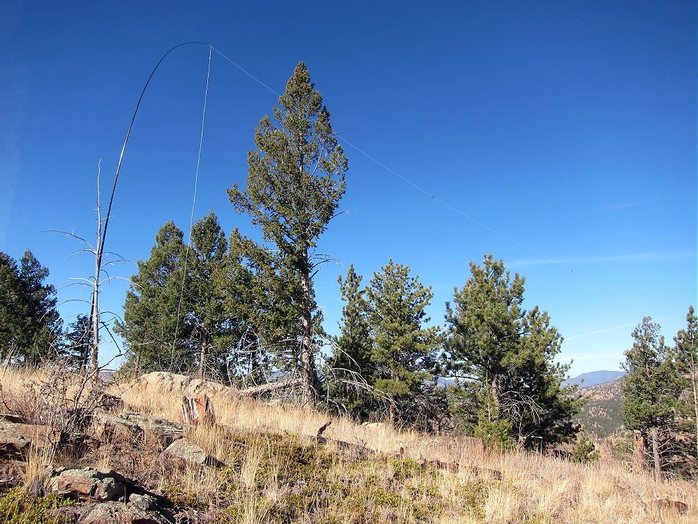
Leg Benchmark, KX0R Activation Just South of Summit
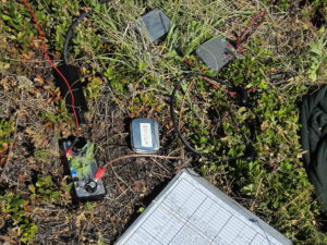
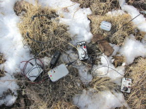
Leg Benchmark, KX0R Radio Gear
Leg Benchmark is a near-perfect radio summit – it falls away in all directions. With no development nearby, the noise level is very low. KX0R made 32 CW contacts on 7-10-14-18 MHz, including 3 summit-to-summit (S2S) contacts.
This peak is likely a good VHF/UHF summit for parts of southeast Wyoming and northeastern Colorado, but it’s partly blocked to the west by the local terrain. The summit history shows some 2 meter contacts.
Leg Benchmark – View Southeast
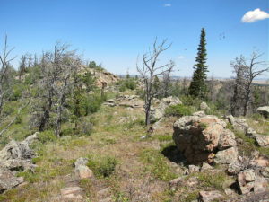
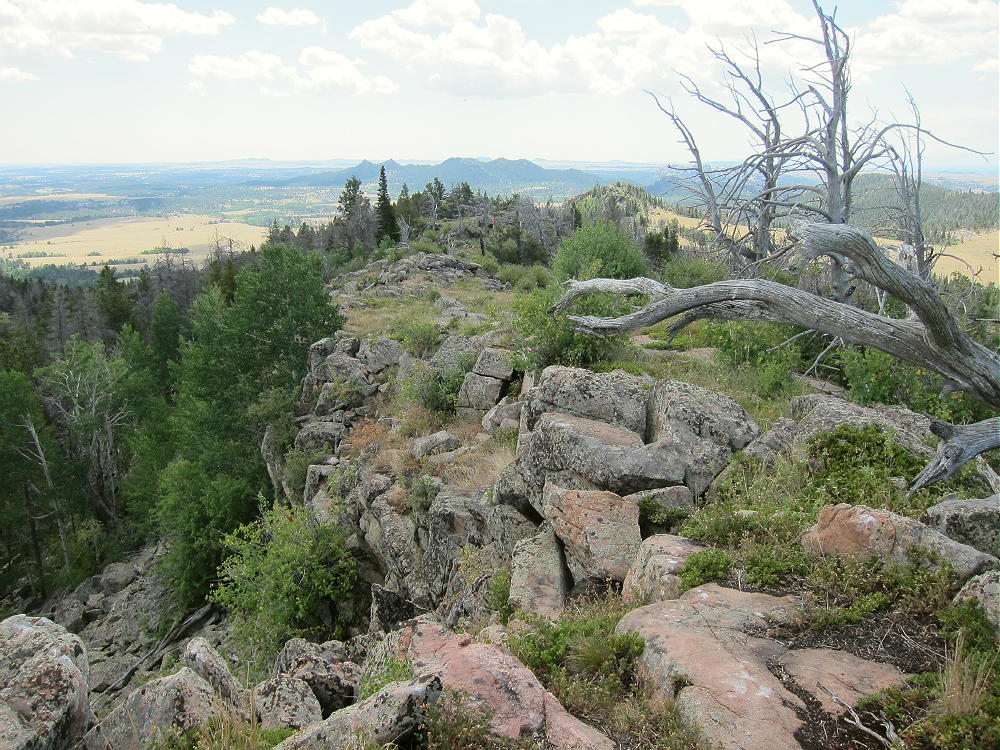
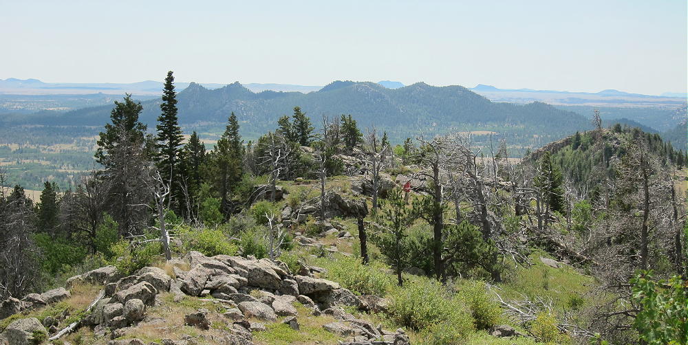
The summit ridge is a really nice place to be in good weather. It looks out over most of southeast Wyoming, and the views seem endless. Many of the trees are dead, so the ridge is wide open. This is the top of the Sherman Mountains, which are part of the much larger Laramie Range. Not many people visit the long ridge, probably because there’s no real trail.
Leg Benchmark – View Southeast along Ridge
The ridge is made of resistant orange igneous rock, probably granite or one of its relatives. There’s a path along the ridge, so it’s easy to move north or south.
Leg Benchmark Summit Ridge, with N0TA
The only bad thing about the Sherman Mountains, is that everywhere you look you think you see other possible SOTA peaks – there are numerous craggy summits – but apparently none of them have enough prominence!
73
George
KX0R
!! WARNING !! There are old mountaineers, and
bold mountaineers… there are no old-bold mountaineers.
Hiking and mountain climbing are potentially hazardous activities particularly in Colorado with its extreme elevations. I am not accepting responsibility for any death or injury resulting from activations based on my trip reports. Proper training, experience, and personal capability assessment is required – enjoy!
• Pike National Forest
• Jeep road most of the way
• No marked trail, but path to the top
• Navigation and route-finding required
• Nice open summit
• ~ 1.6 miles round-trip
• ~ 450 feet vertical
Tappan and Badger Mountains from 9036
Driving Directions:
THIS MAP is very useful in the Pike National Forest.
• Drive to Woodland Park on Highway 24, west of Colorado Springs
• Continue west through Divide, Florissant, and Lake George
• Almost 1 mile north of Lake George, turn north, right, on Highway 77, Tarryall Road
• Follow this road up a valley north for about 5 miles
• At 8280 feet, just before Highway 77 reaches a low pass, turn right on dirt FR-210, Platte Springs Road
• Google Maps are inadequate for navigation in this area
• Drive up FR-210 about ¼ mile, and turn left on FR-292. This road may not be marked with a number.
• FR-292 climbs up a short, steep hill and then continues through open forest toward Tappan
• FR-292 is a jeep road, but 4WD may not be required, if the road’s dry and your vehicle has adequate clearance
• Where the road splits, go left on FR-292.A
• FR-292.A climbs up the south side of Tappan Mountain and eventually drops down a steep hill to a power line
• Park off the road
• If FR-292 is too rough, snowy, or muddy, park near the bottom and hike up – it’s about 1 mile to Tappan
• FR-293 also could be used to access Tappan’s east side
The Hike:
• Drive or hike up near where FR-292.A reaches maximum elevation on the south side of Tappan
• Head up the open southwest ridge toward the peak
• There’s no marked trail to the summit, but game trails provide easy access.
• It’s also possible to hike up the northeast ridge, or even the south side.
Tappan Summit
Tappan Mountain Benchmark
Additional Details:
The roads in this area are mostly easy 4WD or 2WD with adequate clearance. If the snow is deep, it would be better to hike or snowshoe the roads than to take a chance of getting stuck back there. From the bottom of Road 210 to the top of Tappan is only about 1.5 miles each way. The road could be gated in winter at the bottom – but it wasn’t closed on various winter dates when we’ve been up there the past two years.
The summit of Tappan is a rocky point on an extended ridge; the activation zone is large, open, and pleasant.
Tappan Summit and East Ridge
There are many good trees and rocks to support a pole or an antenna, and there are views all around.
Tappan – KX0R Activation Nov 2015
Tappan – KX0R Snowy Activation Nov 2015
This is an excellent HF site – there’s no development near the summit, and the power lines southwest of the peak seem quiet.
Tappan – KX0R Activation Nov 2016
VHF and UHF contacts will be hard to get from Tappan, due to the isolated location.
Tappan Mountain stands close to several other SOTA peaks and might be combined with any of them for a dual or multiple activation:
9036 is the easiest to combine with Tappan, since they share road access.
The National Forest near Tappan Mountain looks like good hunting territory – if you go there in the fall, be careful, and wear orange hunter clothing.
73
George
KX0R
Tappan – View North to Pilot Peak
!! WARNING !! There are old mountaineers, and
bold mountaineers… there are no old-bold mountaineers.
Hiking and mountain climbing are potentially hazardous activities particularly in Colorado with its extreme elevations. I am not accepting responsibility for any death or injury resulting from activations based on my trip reports. Proper training, experience, and personal capability assessment is required – enjoy!
W0C/SP-125
9036
2754 m / 9036 ft
Nov 15, 2015 with N0TA
Nov 6, 2016 with N0TA
Feb 20, 2017 with N0TA
By KX0R
Peak 9036 is an obscure summit in the Pike National Forest north of Lake George.
Key Points:
• Pike National Forest
• Trail most of the way to the top
• Relatively easy climb
• Some deadfall near the top
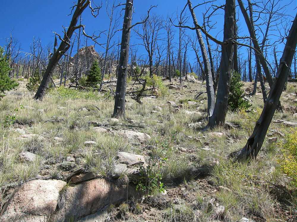
• Summit area was burned up years ago
• Great views
• Excellent HF Site
• ~ 2.8 miles round trip
• ~ 530 vertical feet
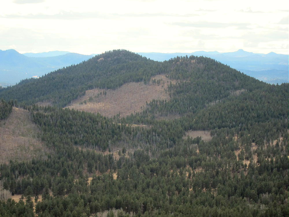
9036 – View of West Side, Taken from Tappan Mountain
Driving Directions:
THIS MAP is very useful in the Pike National Forest.
• Drive to Woodland Park on Highway 24, west of Colorado Springs
• Continue west through Divide, Florissant, and Lake George
• Almost 1 mile north of Lake George, turn north, right, on Highway 77, Tarryall Road
• Follow this road up a valley north for about 5 miles
• At 8280 feet, just before Highway 77 reaches a low pass, turn right on dirt FR-210, Platte Springs Road
• Drive up FR-210 about ½ mile, and then take the right fork, FR-601, east
• FR-601 requires moderate clearance, but not 4WD, unless it’s snowy or muddy
• Follow FR-601 east for about 1 mile: around the north side of a hill, across a fenced shallow valley, to a parking area with a gate
• This is the trailhead
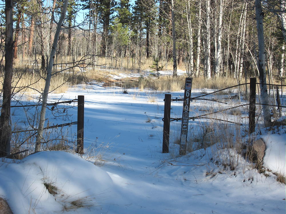
9036 – Trail 619 Trailhead
The Hike:
• A relatively new trail, marked 619, heads northeast from the parking area.
• This route is shown clearly on the Google satellite image, but not on the Google map.
• Don’t follow the gated Platte Springs Road east down the hill
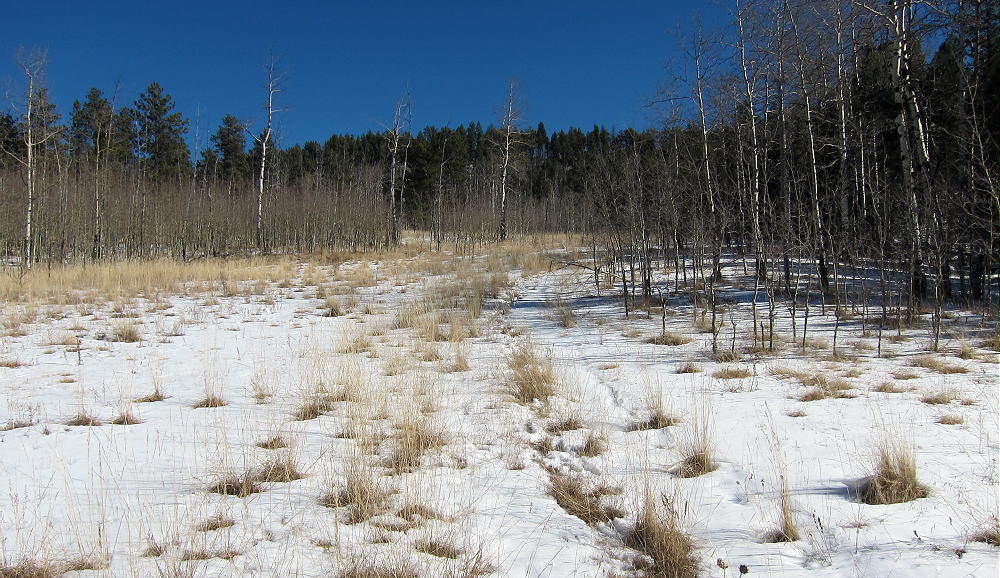
• Trail 619 starts out flat, and then it ascends northeast up a wide draw.
9036 – Trail in November 2015
• At the top of the draw, the trail reaches a saddle between the forested false summit on the east, and the actual summit farther west.
• Before the saddle, leave the trail and climb northwest up a draw to the ridge
• Hike west along the ridge less than 0.2 miles to the summit
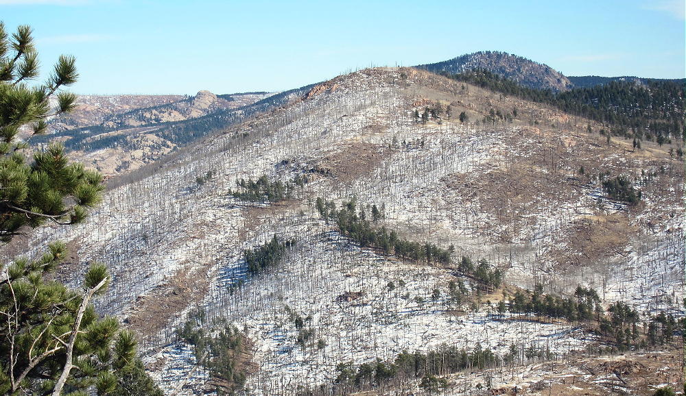
• The forest near the top was burned by fire.
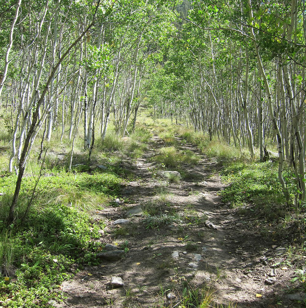
• Follow game and cattle trails around the aspen thickets
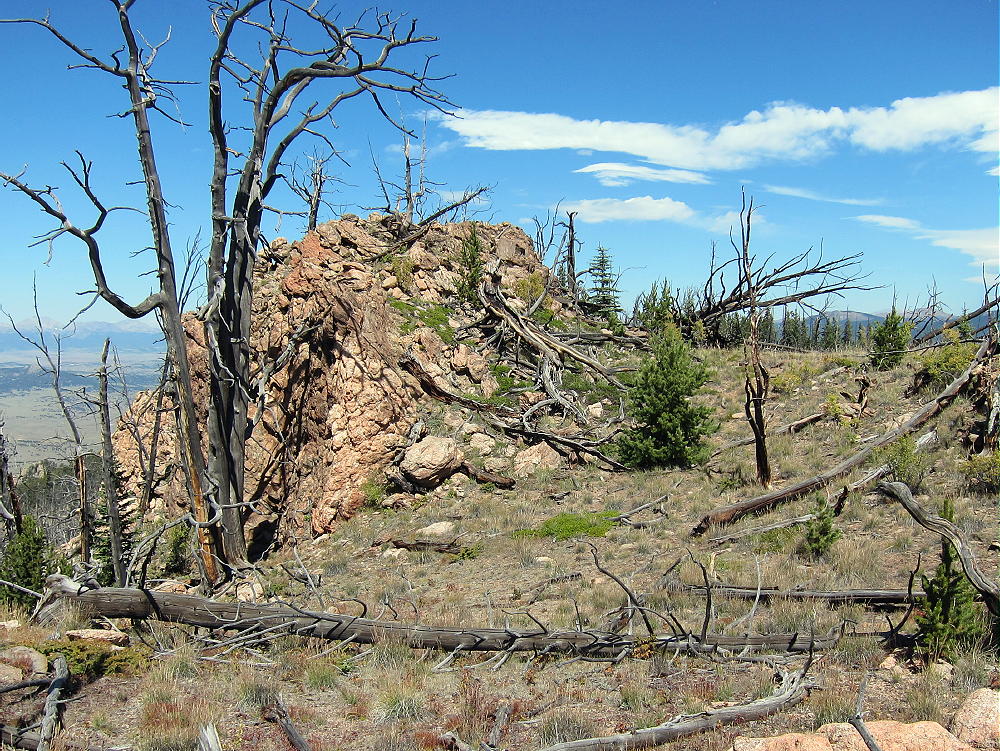
9036 – Summit Rocks
Additional Details:
The roads in this area are mostly easy 4WD or 2WD, with adequate clearance. If there’s considerable snow, it would be better to hike or snowshoe in than to risk getting stuck back there. When John Reilly N0TA and I climbed this mountain in mid-November 2015, it was fun, despite some snow on the roads and the trail.
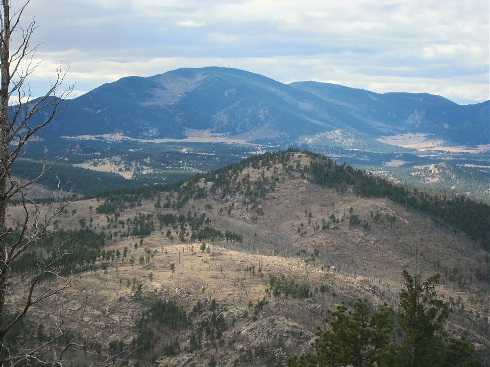
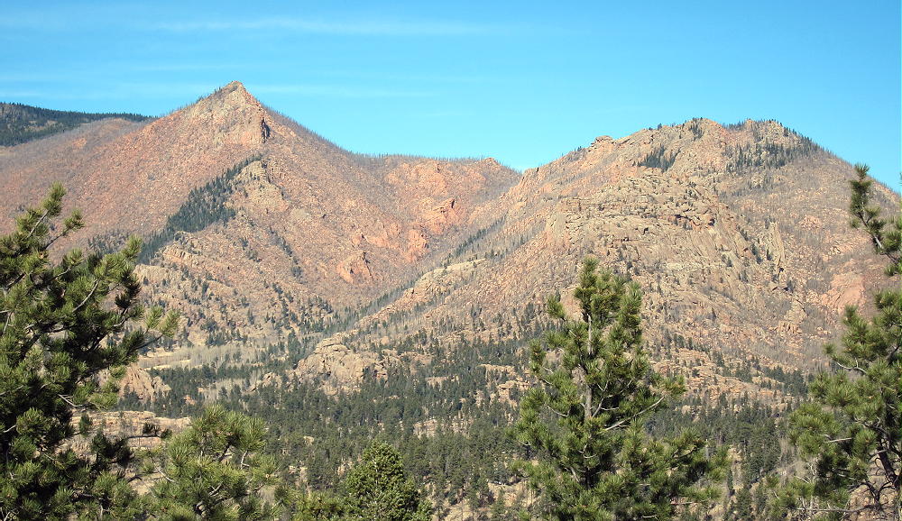
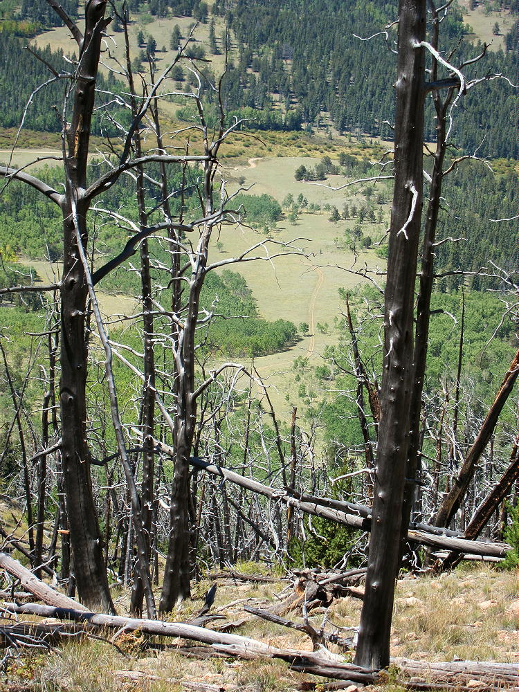
Great views spread out for miles in all directions. Chessman Reservoir is visible in the South Platte Canyon several miles to the northeast; Devils Head and Long Scraggy Peak stand many miles beyond. Badger Mountain stands 8.5 miles to the west.
9036 – View Northwest to Pilot Peak
9036 – View Northeast of South Platte Canyon
9036 – View East of Hayman Burn
The summit of 9036 is a rocky knob, and numerous trees and rocks are available to support a pole or an antenna.
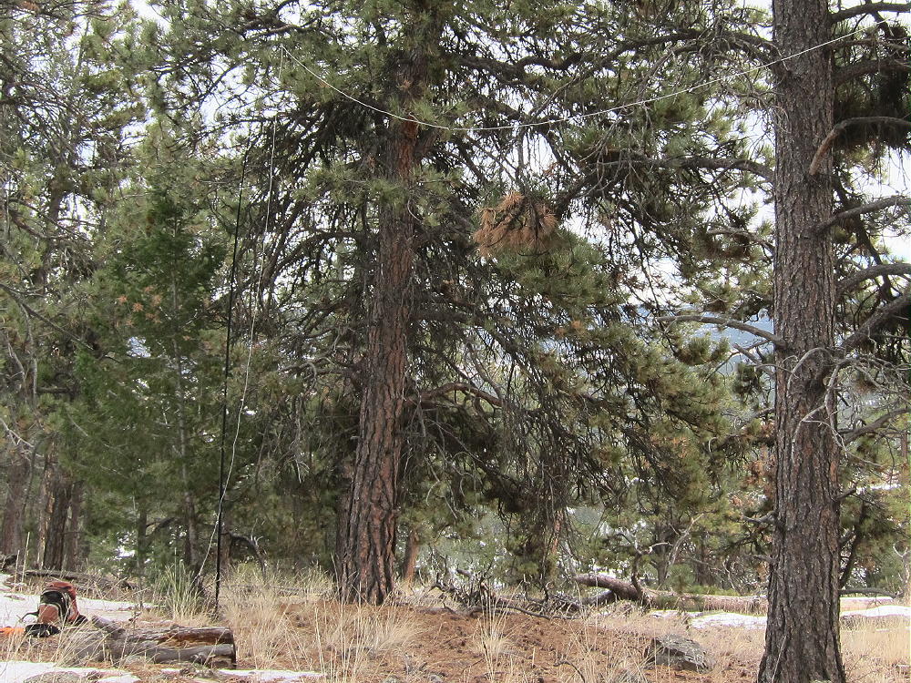
9036 – N0TA Antenna on Summit
Some shelter from wind is provided by various large rocks. We found this to be an excellent RF-quiet HF site in 2015 and 2016, but in 2017 we heard significant man-made noise on 7 MHz. Nevertheless, this is a fine SOTA site, and we both made plenty of HF CW contacts on all three of our activations up there.
The isolated location of 9036 suggests that VHF and UHF contacts may be hard to get.
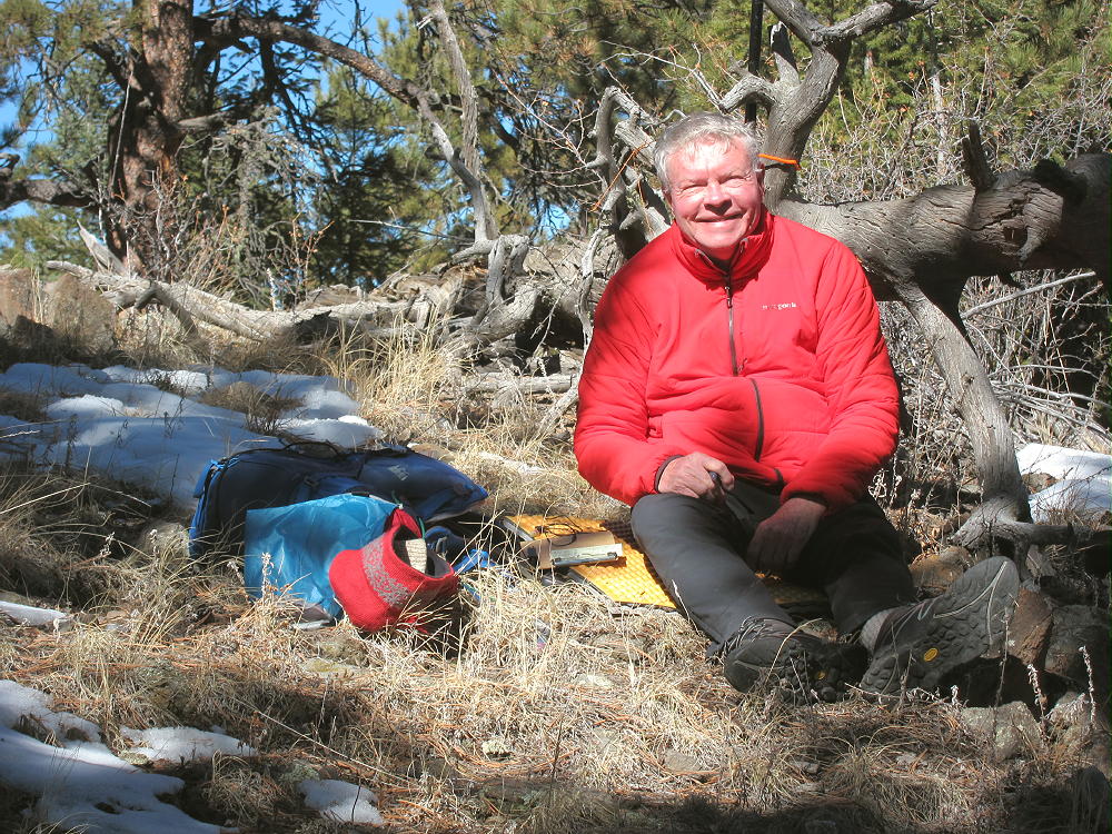
9036 – N0TA On The Air
Peak 9036 is close to several other SOTA peaks and might be combined with any of them for a dual or multiple activation:
The forest near Peak 9036 looks like good hunting territory – in the fall, be careful, and wear hunter orange clothing!
73
George
KX0R
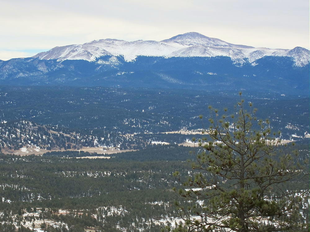
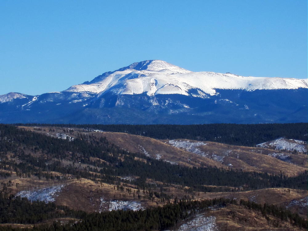
9036 – View of Pikes Peak
!! WARNING !! There are old mountaineers, and
bold mountaineers… there are no old-bold mountaineers.
Hiking and mountain climbing are potentially hazardous activities particularly in Colorado with its extreme elevations. I am not accepting responsibility for any death or injury resulting from activations based on my trip reports. Proper training, experience, and personal capability assessment is required – enjoy!
• Pike National Forest
• West of Colorado Springs
• Relatively easy to climb
• Short hike
• Relatively good access, even in winter
• No marked trail to the peak
• Excellent SOTA Peak
• ~ 1.0 mile round trip
• ~ 300 vertical feet
Blue Mountain – Saddle and Summit from FR-244
Driving Directions:
THIS MAP is very useful for driving in the Pike National Forest.
• Drive west on Highway 24 from Colorado Springs.
• Pass through Woodland Park, Divide, and Florissant.
• Continue to the small community of Lake George.
• Turn left, southwest, on CR 96 at Lake George.
• After less than a mile, turn south on good dirt road CR 61.
• Drive about 3.3 miles on CR 61 – pass the Blue Mountain Campground, and continue south along the east side of Blue Mountain to an intersection with CR 98.
• This intersection is south of the summit, and it would be possible to park near here and climb the mountain directly, as the terrain is open.
• Head west on CR 98 for about one mile, to where two roads lead off to the right.
• The left fork goes to an obvious ranch property.
• The right fork is USFS FR-244 – it leads east toward Blue Mountain.
• If this road is dry, it’s passable in cars with adequate clearance.
• If the road’s open and in good condition, drive northeast about one mile, up near the mountain, to a turn-around at a campsite.
• This is the trailhead.
• Otherwise park farther down, and hike up the road to the trailhead.
The Hike:
• Blue Mountain is a long ridge running roughly N-S.
• The actual peak is near the south end of the ridge.
• From the end of the road, hike up toward the mountain on a jeep trail.
• The summit is on your right.
• Pass the remains of a miner’s shack.
• Continue north about 150 feet, and find a crude trail leading up to the right (south).
• Don’t follow any route farther to the north.
• Hike south up the faint, rough trail – it soon fades out
• Continue diagonally southeast up game trails through bushes to the broad saddle at 9200 feet, north of the peak
• Hike south along the ridge on a path for about 200 yards to the summit
• The route passes by some old prospect holes and a trench
• The summit is south of the diggings – a small cairn marks the top
Additional Details:
The activation zone is large, open, and pleasant, with some large pine trees. We found dry, sunny spots just south of the peak, out of the wind. This area offers nice views of Pikes Peak and the area south and west of Blue Mountain.
Blue Mountain – N0TA SOTA Activation
Blue Mountain – KX0R SOTA Activation
The peak is a good radio site, and the HF noise level is low. It’s easy to set up a SOTA activation and make contacts up there. VHF/UHF coverage is probably limited to the area around Lake George, and the north side of Pikes Peak.
Blue Mountain – View of Pikes Peak
Blue Mountain is close to several other SOTA peaks and might be combined with any of them for a dual or multiple activation:
The forest near Blue Mountain looks like a good place for hunting. Wear hunter safety orange if you go there in the fall!
73
George
KX0R
Blue Mountain – N0TA Operating SOTA
!! WARNING !! There are old mountaineers, and
bold mountaineers… there are no old-bold mountaineers.
Hiking and mountain climbing are potentially hazardous activities particularly in Colorado with its extreme elevations. I am not accepting responsibility for any death or injury resulting from activations based on my trip reports. Proper training, experience, and personal capability assessment is required – enjoy!
• Pike National Forest
• No marked trail, but paths most of the way
• Not difficult
• Navigation and route-finding required
• Nice partly-forested summit
• Fine SOTA peak
• “South Trailhead” at ~ 8170 feet
• ~ 3.3 miles round-trip hiking from “South Trailhead”
• ~ 910 vertical feet hiking from “South Trailhead”
• “North Trailhead” at ~ 8740 feet
• ~ 0.9 miles round-trip hiking from “North Trailhead”
• ~ 360 vertical feet hiking from “North Trailhead”
Peak 9083 and Northern Sub-Peak 9021, Northeast Side, from Peak 9036
Driving Directions to the “South Trailhead”:
• Drive to Woodland Park, either from Colorado Springs on Highway 24, or via Highway 67 from Deckers, etc.
• Continue west on Highway 24 through Divide, Florissant, and Lake George
• About ½ mile northwest of Lake George, turn right, north, on paved Tarryall Road 77.
• After driving about one mile on Highway 77, turn right on unpaved CR 112.
Use THIS MAP for the details of the forest roads. Note that Peak 9083 is not shown on this USFS map.
• After several hundred feet, CR 112 comes to a T – turn left on a small forest road, 295/296.
• This road leads north past some private land on the west
• About 2/3 mile from the original T, there’s another split.
• The left fork FR-295 the main fork – it leads north several miles into the National Forest (see alternate route details below).
• FR-295 isn’t shown on Google Maps, but it’s on the satellite images.
• The straight-ahead fork FR-296 continues north up a long draw, past several campsites, until it dead-ends.
• This road requires high clearance, and it might be 4WD when snowy or muddy.
• Park near the end of the road – this is the “South Trailhead”.
The Hike from the end of FR-296:
• From the parking spot, continue up the draw, following the remaining tracks of the closed road.
• The route climbs gently and passes through open forest and meadows.
• The ruts gradually disappear, but an old trail and game trails continue on.
9083 Southern Route up the Draw
9083 Southern Route – N0TA on Old Trail
• Less than a mile up the draw from the “trailhead”, a large power line is visible ahead in a cleared right-of-way.
• Follow the power line northwest – this is the most challenging part of the trip.
• Downed trees and bushes obstruct passage through the cleared land beneath the wires.
• When we were there, this part of the route was covered by snow.
• Follow the power line north almost ¼ mile.
• Peak 9083 is visible to the north.
9083 South Ridge, from Southern Route near Powerline
• Contour northwest around a gully that drops below the lines.
• Continue to an obvious saddle at 8680 feet.
• The power line runs around the west side of Peak 9083, but don’t follow it past the saddle.
• From the saddle, climb about ½ mile up the pleasant south ridge to the summit.
Driving Directions to the “North Trailhead”:
• With a high-clearance 4WD vehicle and good road conditions, it’s possible to drive much closer to the summit via FR-295.
• At the split between FR-295 and FR-296, take FR-295, the left fork
• Drive north up FR-295 for about 2.5 odometer miles to this point:
• This is the “North Trailhead” – there’s room to park and turn around
• It’s also possible to access the north end of FR-295 via the Platte Springs Road FR-210.
• The “North Trailhead” is about 1.7 odometer miles south of FR-210
• FR-295 is not suitable for ordinary cars – it’s a jeep road
The Hike from the “North Trailhead”
• There’s no marked trail, but game trails are available
• Hike southeast from the parking spot
• Cross under the large power lines
• Aim for the visible saddle north of the summit
• From the saddle, hike south, up the north ridge of the southern peak – don’t climb the northern sub-peak
• The climb is only about 0.45 mile and 360 vertical feet
• This hike requires only about 20 minutes in good conditions
Additional Details:
The hikes up the partly-forested south and north ridges of 9083 are pleasant – nice views reveal the surrounding terrain. Little of the local area has been burned by wildfire.
The actual summit of 9083 is a small, pleasant flat spot among trees and rocks – views are somewhat limited.
9083 Summit
This peak is an almost perfect SOTA site – the large activation zone extends down the south ridge, where there are sunny, grassy areas with nice trees and few rocks. Even though the power line is only a couple hundred yards west of the peak, we heard no HF line noise. Since we heard no corona noise when we walked under the high-voltage wires in 2015, it’s possible that the lines weren’t energized while we were there. In 2016 we also heard no obvious line noise.
N0TA and I activated 9083 simultaneously on different bands:
On Dec 9, 2015, KX0R logged 22 contacts on 7, 10, and 18 MHz CW; N0TA logged 25 contacts on 14 MHz CW.
On Nov 6, 2016, KX0R logged 22 contacts on 7, 10, and 18 MHz CW. N0TA logged 19 contacts on 10 and 14 Mhz CW.
9083 – KX0R SOTA Antenna
9083 – KX0R Radio Gear
VHF and UHF coverage from Peak 9083 is limited by various surrounding mountains, but views suggest that contacts might be possible toward the Denver area to the northeast, as well as the area north of Pikes Peak.
9083 – N0TA on South Ridge of 9083
9083 – KX0R Operating SOTA on 9083
Even though the routes described require a high-clearance vehicle and good conditions, Peak 9083 could be reached by hiking or snow-shoeing from FR-295/296 in the south, or from Platte Springs Road 210 up north.
Peak 9083 lies close to several other accessible SOTA peaks and might be combined with any of them for a dual or multiple activation:
The trailhead for Peak 9036, W0C/SP-125 is at the same place on Road 210 where FR-295 heads south about 1.7 miles toward Peak 9083
In 2015 we activated Blue Mountain the same day, and that worked well, even on December 9, a short day near winter solstice. In 2016 we activated 9036 the same day, for an easy dual activation.
Hiking through the forest near Peak 9083 requires caution during hunting season. Wear hunter orange there in the fall!
73
George
KX0R
9083 – View of Pikes Peak
!! WARNING !! There are old mountaineers, and
bold mountaineers… there are no old-bold mountaineers.
Hiking and mountain climbing are potentially hazardous activities particularly in Colorado with its extreme elevations. I am not accepting responsibility for any death or injury resulting from activations based on my trip reports. Proper training, experience, and personal capability assessment is required – enjoy!
• Roosevelt National Forest
• Obscure summit, rarely visited
• No obvious trailhead
• No marked trail
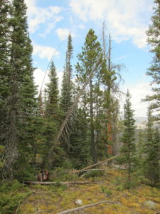
• Steep, off-trail ascent through thick forest with plenty of deadfall
• Challenging navigation most of the way
• Excellent HF radio site
• ~ 5.4 miles round trip
• ~ 1000 vertical feet
9986 – East End of Summit Ridge
Driving Directions:
• Drive to Fort Collins
• Go north on Highway 287 about 10 miles
• Turn west on Highway 14 at Ted’s Place
• Drive up the Poudre Canyon to where CR-103 heads off to the north to Chambers Lake, Gledevey, etc.
• This junction is about 51 miles from Ted’s Place
• Pass this intersection and go about ¼ mile further up Highway 14 to Barnes Meadow Reservoir.
• This reservoir is not visible from the highway, but the dam is visible; there’s no marked trail-head.
• Park just off the highway, near the southwest corner of the Reservoir.
• The parking spot is northwest of some red rocks piled along the shore – see the Google satellite image.
The Hike and the Climb:
• Hike from the parking spot to the southwest corner of the reservoir.
• From there, a trail leads east along the south shore of the lake. This is easy to see on the satellite image.
• This trail is mostly used by fishermen.
• The south shore is open to the public.
9986 – Barnes Meadow Reservoir, South Shore View North
• Follow the path along the shore for a bit more than a mile, all the way to the northeast corner of the reservoir.
• Even though it’s tempting, DO NOT hike across the dam on the west side of the lake to access the north shore – the entire area is posted and closed to the public.
• The south shore is not posted, and it provides good legal access to the National Forest and Peak 9986 northeast of the Reservoir.
• The path gets primitive toward the east end of the lake.
• At the northeast inlet, cross the small creek and head north into the forest.
• The remaining route to 9986 is off-trail.
• The general idea is to climb steeply north to about 9600 feet, and then follow the moderate east ridge of the mountain up to the summit.
• The summit is not visible until you get on top of the ridge.
Useful Details:
GPS is helpful for navigating up through the rocky gullies, thick forest, and deadfall on the route to 9986.
9986 – Route up West Ridge
9986 – Summit Ridge Area
Only strong hikers with backcountry, off-trail experience should attempt to climb 9986. Avoid steep, cliffy areas southwest of the summit, as well as the deep Cache la Poudre River Canyon east of the mountain.
9986 – View South Up Poudre Canyon
9986 – View North Down Poudre Canyon
There are many game trails that help make the southeast ridge route work. Most of the gulches and ridges have game trails. This is a good area for deer, elk, and moose.
The actual summit of 9986 is a large boulder; I didn’t see a register in a jar, etc.
9986 – Summit Boulder
The activation zone extends a long way along the east-west ridge-top, so many good spots are available for setting up and operating on the radio. The summit is essentially in the wilderness, more than a mile from a bit of development near the highway, and the RF noise level is very low. While not the highest point in the area, it has enough prominence to be a nice HF site. Because of the surrounding mountains, the peak probably has poor VHF/UHF coverage.
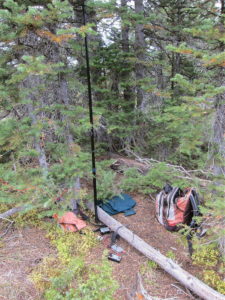
With wet weather moving in quickly, I set up my radio gear just east of the summit under an evergreen tree.
9986 – Activation beneath Shelter Trees
9986 – KX0R First SOTA Activation – Antenna Pole
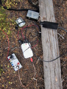
9986 – KX0R Radio Gear
In spite of some snow flurries and wind, my activation went well, with 30 CW contacts logged on the 40-30-20M bands. The sun came out after I was done!
9986 – View South
9986 is not far from several other SOTA peaks near the Poudre Canyon; it might be combined with another hike for a dual activation. Nearby possibilities include:
Numerous campgrounds and other facilities are available in the Poudre Canyon area. North Park is only a half-hour drive to the west. Opportunities for recreation are numerous!
9986 – View Southwest to Barnes Meadow Reservoir and Chambers Lake
73
George
KX0R
Aspen Gallery:
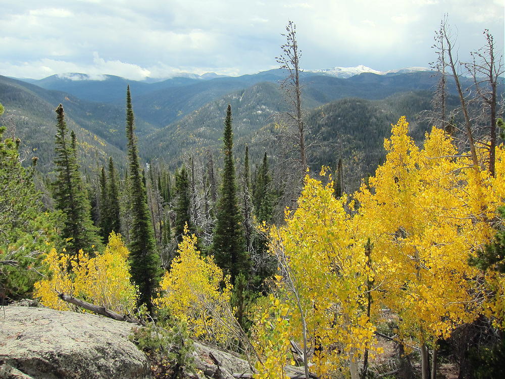
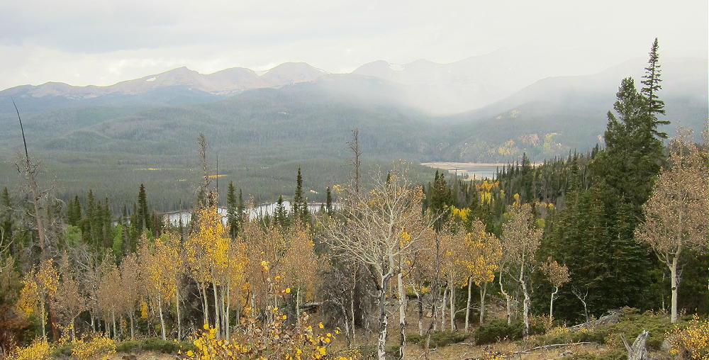
9986 – View Southwest, Aspens after the Snow
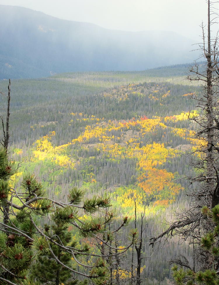
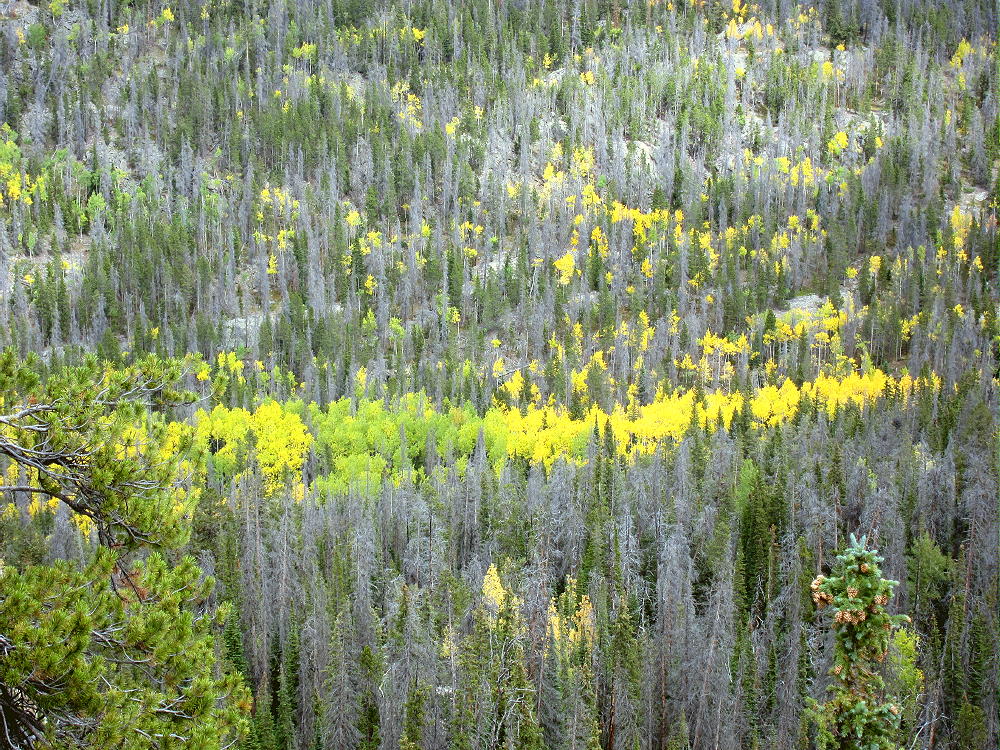
9986 – Aspens Below
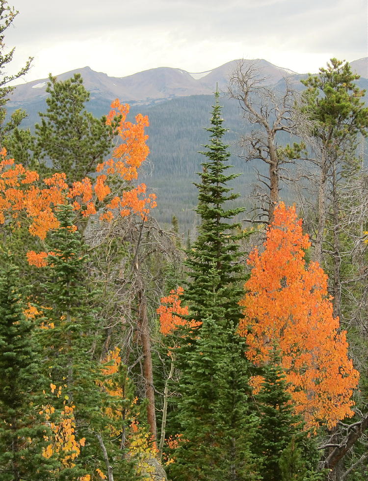
9986 – Amazing Fiery Orange Aspens
!! WARNING !! There are old mountaineers, and
bold mountaineers… there are no old-bold mountaineers.
Hiking and mountain climbing are potentially hazardous activities particularly in Colorado with its extreme elevations. I am not accepting responsibility for any death or injury resulting from activations based on my trip reports. Proper training, experience, and personal capability assessment is required – enjoy!
• Arapaho National Forest
• Somewhat challenging hike at high altitude
• Marked trail most of the way
• Trail is inefficient and confusing
• Superb scenery – nice alpine area
• Excellent HF site
• 11 miles round-trip
• ~3100 vertical feet total
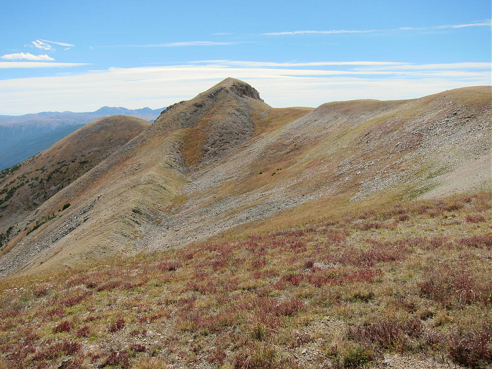
Ute Peak – Summit and Northwest Ridge
Driving Directions:
• Drive west on I-70, pass through the Tunnel, and exit to Silverthorne
• Turn north on Highway 9
• Drive along the Blue River for about 11 miles to Ute Pass Road CR 15
• Turn east on paved CR 15, and drive up to Ute Pass at 9570 feet
• The trailhead is on the east side of the road
• Park off the road near the Pass
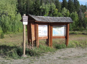
Ute Peak – Ute Pass Trailhead
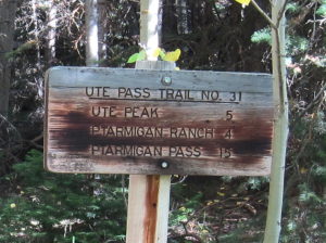
Ute Peak – Ute Pass Trail Sign
The Hike and Climb:
• Google Maps show none of the Ute Peak Trail
• Use an up-to-date map to navigate this area – part of the route has been changed
• GPS is very useful up there
• Follow the marked Ute Pass Trail #31 as it ascends southeast along the ridge
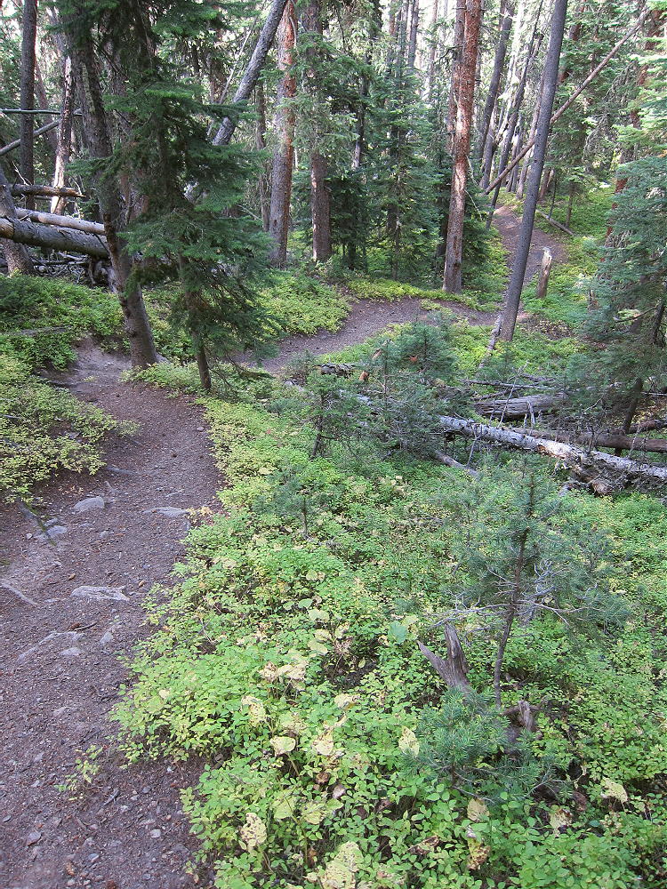
• The trail leads up through dense sub-alpine forest
• After climbing up the ridge to about 10,200 feet, the trail leaves the ridge, contours to the east, and descends to about 9900 feet
• This is contrary to what’s required to ascend the peak – this part of the trail seems designed to connect with a trailhead down in the valley to the east, near the Williams Fork River
• Eventually a fork leads southwest, and Trail #24 climbs steeply back up toward the ridge
Ute Peak – Trail 24 above Junction
• The trail continues ascending south along the northwest ridge
• The path becomes smaller near treeline, but it continues up the steep tundra and flattens out near 12,000 feet
Ute Peak – Northwest Ridge, View North from Summit
• The trail runs along the west side of the ridge and gradually climbs toward the prominent summit
• To climb Ute Peak, head slightly east on a climbers trail that ascends around the north side of the summit and up to the top
Ute Peak – Summit from Northwest Ridge
Additional Details:
Perhaps a more direct trail previously ran right up the northwest ridge, all the way from Ute Pass to tree-line. This route is shown on my GPS map-set, but I didn’t find it when I was up there. It’s possible that this route still exists, but it might be covered with deadfall now.
When I ascended the mountain, I realized that the current trail was taking me too far to the east and downhill, so I decided to head off-trail, up through the forest, to re-gain the ridge. My route was steep and involved some bush-whacking. Before long I met the designated trail at about 10,400 feet. When I went down from the summit, I followed the main route all the way to see how it works.
Even though the current trail is inefficient, it’s a better route to the summit than bushwhacking up the thickly-forested northwest ridge!
Above tree-line, the hike to Ute Peak goes fast. The alpine scenery is exciting, and the trail runs close to the ridge-top. The peak looks tricky at first sight; but the path around the north side makes the final ascent easy. There’s a pole marking this route.
Ute Peak – Summit Formation – Note Faint Trail Around Far Left Side
There was a triangulation station on the summit, and parts of it lie on the slope below – wood posts, steel pole, wires, etc. The peak was windy when I was there, so I set up my radio gear about 30 feet below the top, on the east slope.
Ute Peak – KX0R Antenna near Summit
Ute Peak – KX0R SOTA Radio gear
Ute Peak’s the highest point in the area, so it’s a fine HF summit. No trees are available so high, so a guyed pole is appropriate. I used a wood post from the trig station to help support my pole.
No development’s nearby, and the RF noise level is very low. Even though my wire antenna was no higher than the summit, I had fun with my 3-band activation. My log shows 42 CW contacts on 7-10-14 Mhz.
VHF/UHF coverage is probably limited to the Blue River Valley and parts of Middle Park up north.
The views from the ridge and summit are spectacular. The Gore Range stands wild and rugged only a few miles to the west. Other mountain ranges are visible to the northeast and northwest.
The view down the coulours to the cirque far below the summit is scary – be careful here. This is no place to take chances, especially if there’s snow or ice on the slope.
Ute Peak – KX0R Antenna near Summit
73
George
KX0R
!! WARNING !! There are old mountaineers, and
bold mountaineers… there are no old-bold mountaineers.
Hiking and mountain climbing are potentially hazardous activities particularly in Colorado with its extreme elevations. I am not accepting responsibility for any death or injury resulting from activations based on my trip reports. Proper training, experience, and personal capability assessment is required – enjoy!
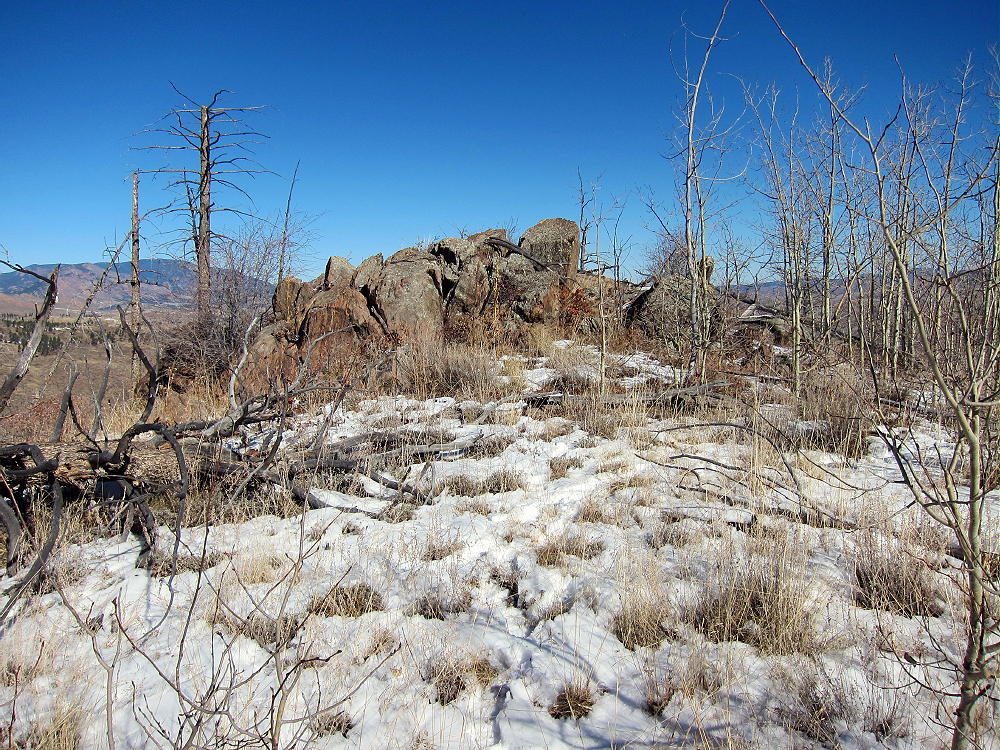
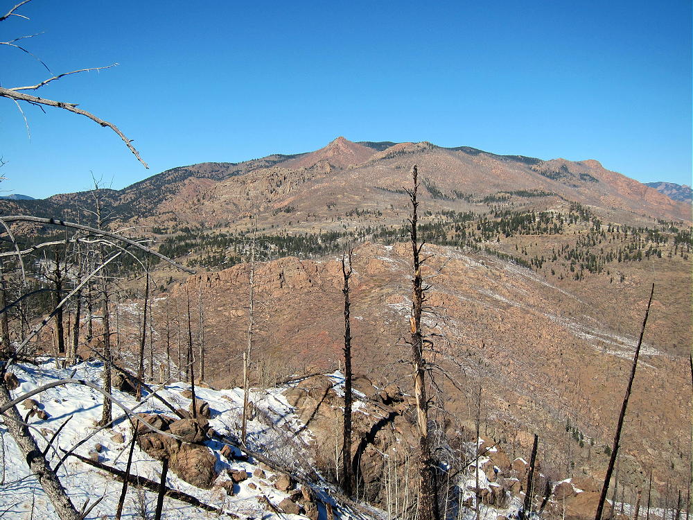
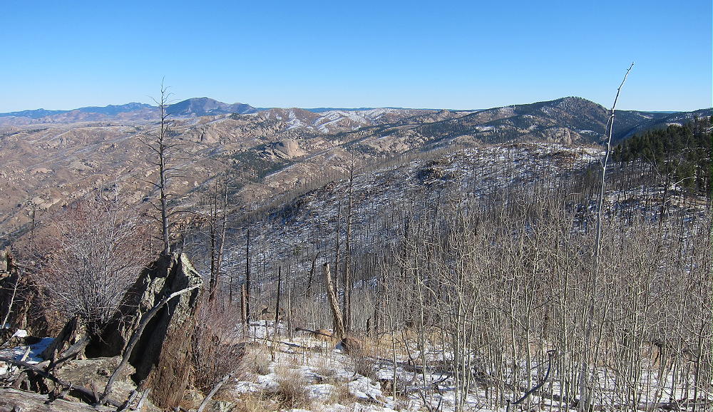
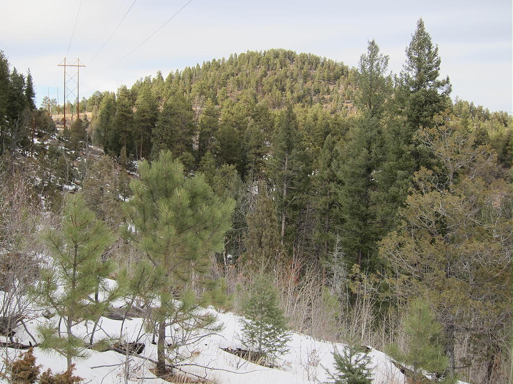
Burntop is a surprisingly fun sub-alpine SOTA peak in the northern Puma Hills, on the east side of South Park. The west side of the mountain and the summit ridge were burned by a forest fire many years ago.
Key Points:
• Pike National Forest
• Burned area
• Good unmarked trail part of the way
• Relatively short, steep climb
• Great views of South Park and beyond
• Fine HF site
• ~ 2.7 miles round-trip
• ~ 1570 vertical feet
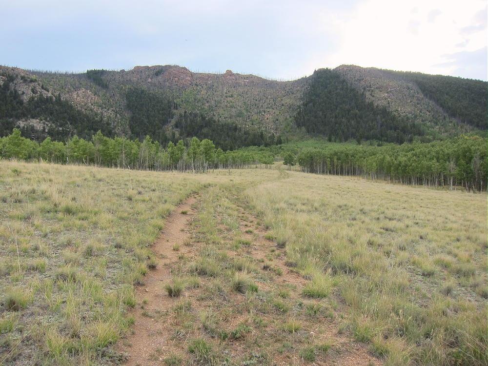
Burntop – Closed Road through the Meadow, Summit Behind
Driving Directions:
• Drive down 285, across Kenosha Pass, to Jefferson
• Turn south on Highway 77 and go about XX miles to Tarryall Reservoir
• Just past Tarryall Reservoir, turn right, west, on CR 23
• CR 23 is a bumpy 2WD dirt road
• Drive about 1.5 mile to a split in the road
• Turn left, south, on FR 144 into Packer Gulch
• FR 144 is a good 2WD dirt road if dry
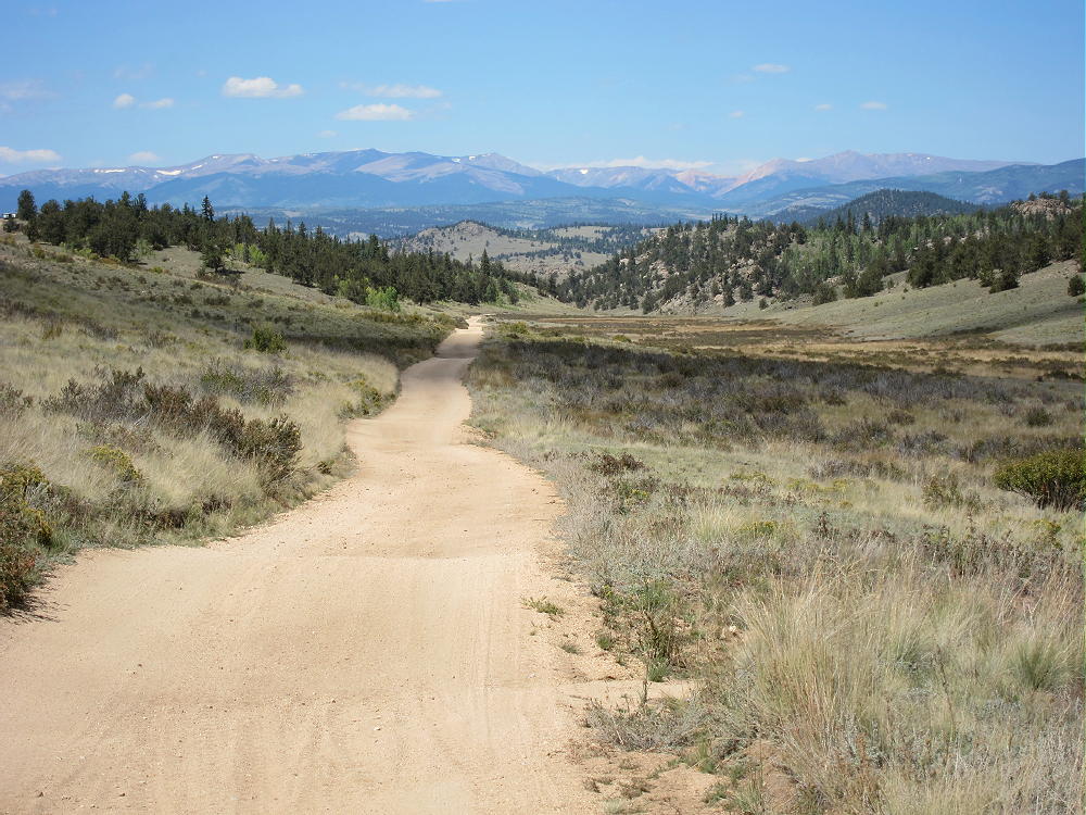
Burntop – Packer Gulch FR 144, View North
• Drive south on FR-144 about 3.5 miles
• Look for Burntop on the left, east, side – the burn scar is obvious
• A left-right dog-leg in the road precedes the “trailhead” at 9520 feet
• A closed forest road will be visible at the second bend of the dog-leg, directly below Burntop – look for a fiberglass USFS marker
• Park here
Burntop “Trailhead” at Closed Road
The Climb:
• Hike up the closed road about 0.6 mile, first through a meadow, and then into the aspens – the road/trail gradually disappears.
Burntop – Approach to the Mountain
Burntop – Upper Part of the Closed Road
• Climb left toward an obvious gully
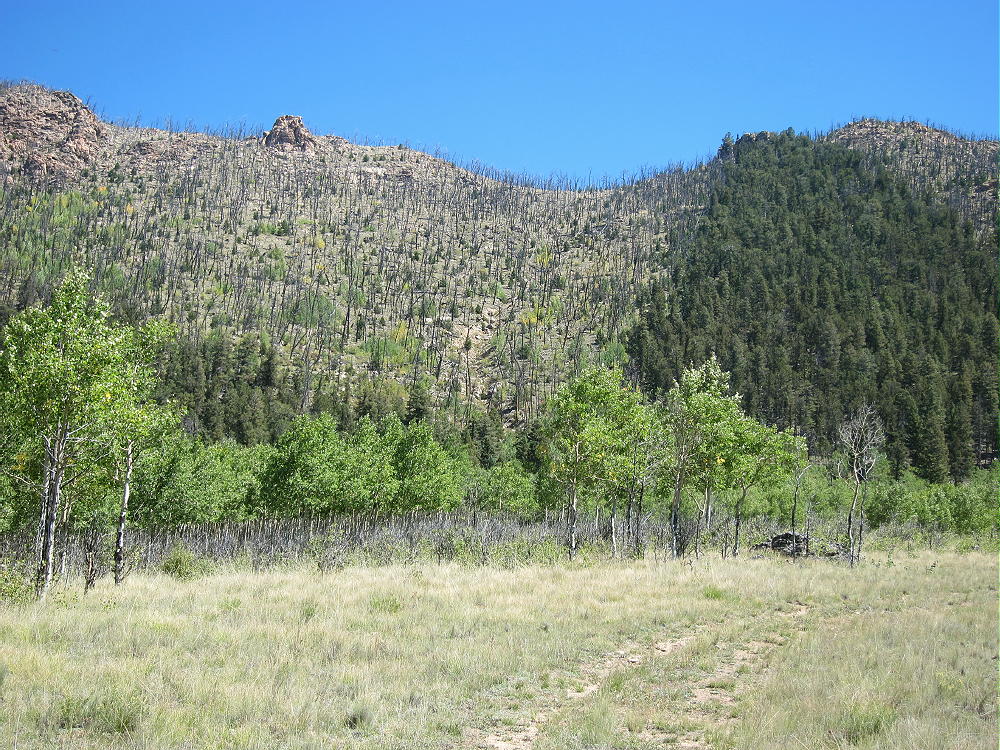
• Near 9900 feet, cross the steep gully below the burned area, and start hiking up the steep burn scar
• Small game trails lead up through the dead trees and bushes
Burntop – Route up Steep Slope of Burned Area
• Stay north of the gully, and hike ENE up to the ridge-top
Burntop – View Down to the Trailhead
• Turn north at the ridge-top
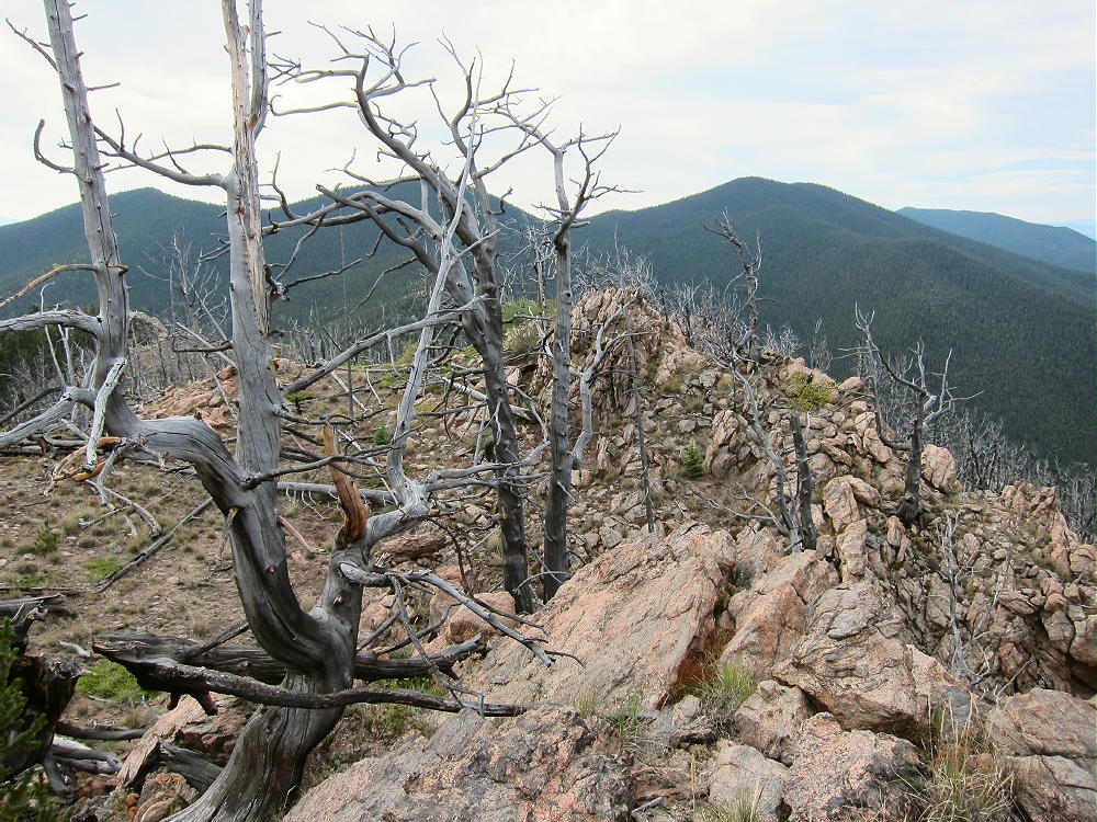
• Hike along the ridge through an open burned area, all the way to the top
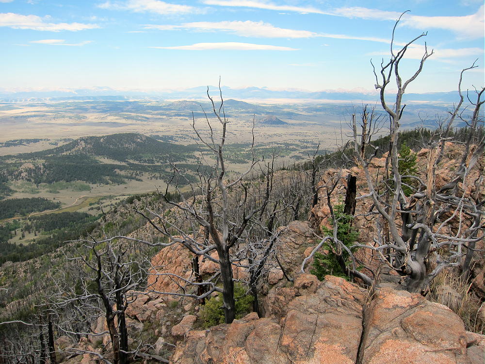
Burntop – Summit Knob
• There are several large rock outcrops within the Activation Zone
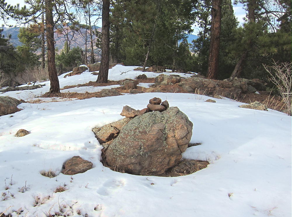
• The summit has a jar with a register
• Google maps are OK for this area
• The Google satellite image is superb – it shows the dog-leg in the road, the trailhead, the closed road as far as it goes, the steep gully, the burn scar, and the summit area.
Burntop – West Side Ascent Route
Burntop – Summit from Puma Peak
Additional Details:
The closed road provides a good route to this accessible SOTA peak. It’s “secret”, because it’s not shown on the Pike National Forest map, nor does it have a marked “trailhead”. It has no number, and its only marking is that it’s closed to motor vehicles. This old trail leads to the best place to cross the gully, in order to climb the burn scar.
The climb from the upper end of the road to the ridge-top south of the summit is only about 0.4 miles, but the vertical gain is 900 feet. The final ascent along the ridge is about 0.3 miles, with a vertical gain of about 280 feet. It’s sad that the fire burned up the mountain, but the open views near the top create an intense experience.
Burntop – Summit View Northwest
The pointed summit is small but spectacular. It’s perched at the craggy top of a very steep slope, and the views will take your breath away. A small cairn with a jar marks the peak.
The day I was there, it was a windy day, so I set up my radio gear in a sunny spot southeast of the peak. A few dead and live trees are available to support a pole or a wire.
Burntop – KX0R Activation on Summit Ridge
Burntop – KX0R Radio Gear
I found a card from first-activator Steve WG0AT in the jar on the summit! What a pleasant surprise!
Burntop – WG0AT Card in Register
Burntop is almost an ideal SOTA peak. It’s prominent in all directions, and it’s radio quiet, with no development around the mountain. No higher mountains block HF skip signals significantly. The peak is probably a poor VHF/UHF site, with coverage limited to the northern part of South Park.
This peak can be combined with nearby Puma Peak W0C/SP-065 for a dual activation.
Burntop – Summit View Southwest, to Farnum, Little Puma, and Puma Peaks
Dispersed camping is allowed in Packer Gulch – but it’s really busy there on nice weekends.
Be aware of hunters in the fall – wear bright orange.
73
George
KX0R
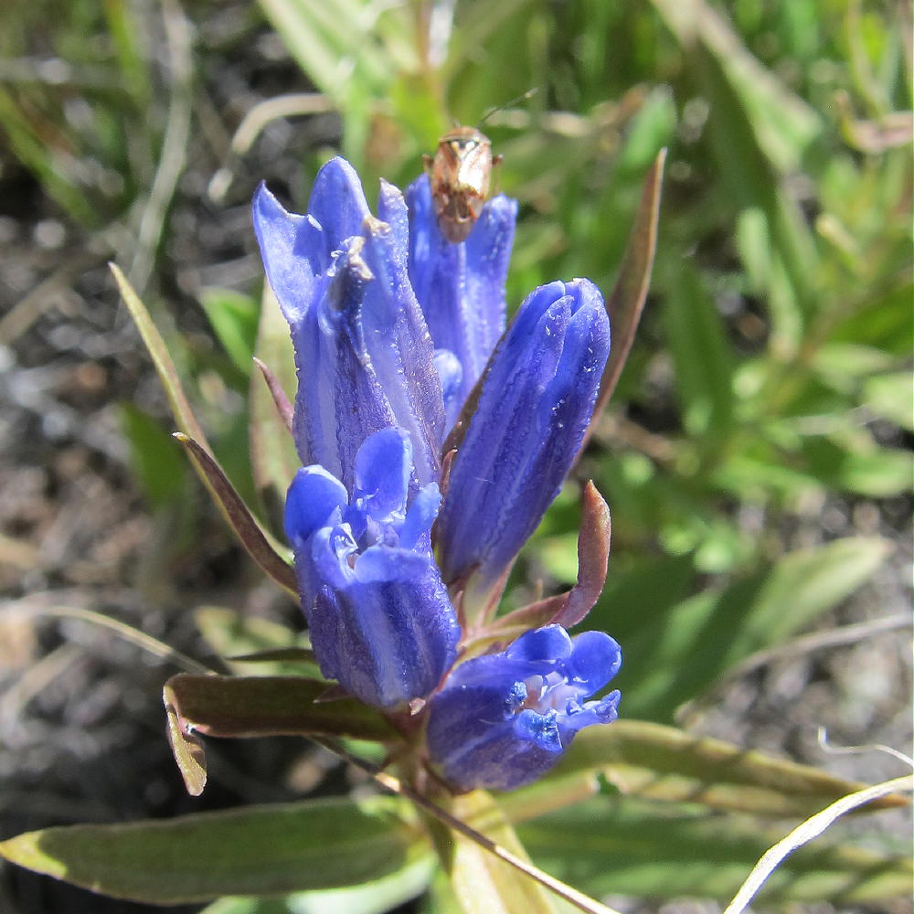
Burntop – September Gentian
!! WARNING !! There are old mountaineers, and
bold mountaineers… there are no old-bold mountaineers.
Hiking and mountain climbing are potentially hazardous activities particularly in Colorado with its extreme elevations. I am not accepting responsibility for any death or injury resulting from activations based on my trip reports. Proper training, experience, and personal capability assessment is required – enjoy!