


W0C/PR-118
Pence Mount
3018 M / 9903 ft
March 28, 2015
First Activation
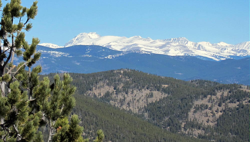
Pence Mount, or Mount Pence, is a moderately easy 3000 meter summit about 3-1/2 miles east of Squaw Mountain. This peak is perhaps 2/3 mile from the Squaw Pass Road, with an ascent of about 900 vertical feet.
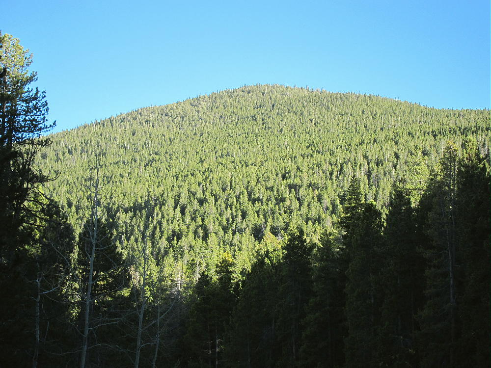
Mount Pence from Squaw Highway
In many ways Pence is an ideal SOTA peak, but this isn’t apparent at first.

Mount Pence Summit Meadow
Please look at Google maps while reading these directions:
To find the trailhead, drive west from Denver via I-70, and exit onto the Evergreen Parkway, Highway 74. At Bergen Park, turn right and drive west up the Squaw Pass Highway 66 several miles. Continue on 66 for about one mile after the second junction with the marked Old Squaw Pass Road 170. This is a very curvy section of road that winds along the north slopes of Mount Pence. Look for an obvious parking area on the left (southeast) side of the highway, at about 8940 feet elevation. There are two such pull-outs. Choose the second parking spot, just past where the road wraps almost a full circle left around a hill. This spot is ¼ mile north of where the road contours into a valley between Pence and Snyder mountains. If you drive too far, there is a very sharp right hairpin turn where the road goes near the creek – if so, turn around, drive back north ¼ mile, and park at the first large parking spot on your right. There is a jeep road with a steel cable across it, as well as USFS sign posts.
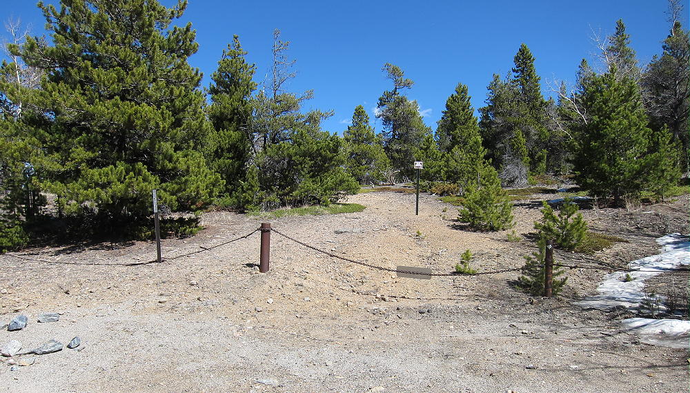
Gated Road to Northwest Ridge of Mount Pence
The start of the jeep road is shown clearly on Google Maps. Please don’t block the road.
There is no sign marking the path up Mount Pence. Hike up the hill about 100 feet, and then follow the road to the right and up the northwest ridge of Mount Pence.
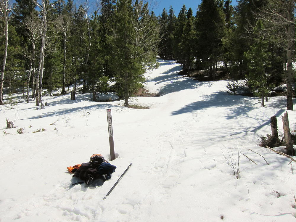
Closed Jeep Road up Mount Pence
The road soon ends, but an informal, un-maintained trail continues up the forested ridge. The day I climbed Pence, the ridge was 90% snow, but bits of the trail were visible between the snow piles. If the ridge is all snow, forget the trail and just stay on the ridge to the top.
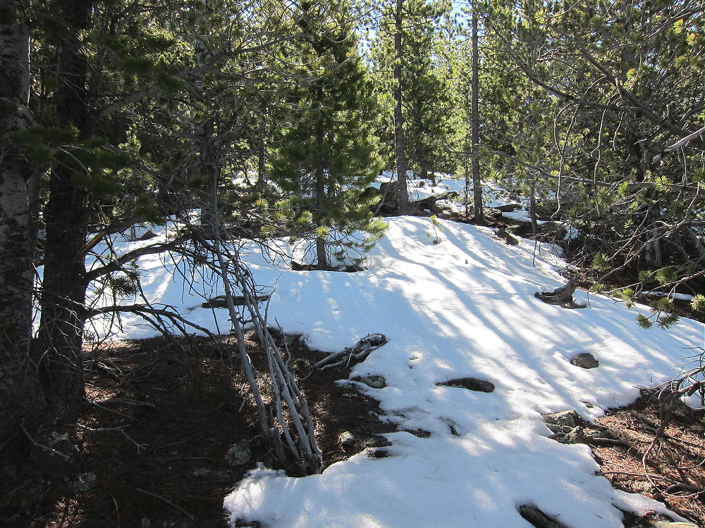
Mount Pence Northwest Ridge Route
This is a simple hike, almost a straight line up a ramp! The forest is moderately thick, so the summit isn’t visible until you’re there. There are nice views north as you ascend.
Arapaho Peak from Mount Pence
Satellite images of Pence reveal many houses and roads just south of the summit. Initially I thought Pence might be private land. The houses are part of a mountain subdivision located 200 to 400 vertical feet below the summit, and most of them are not visible from the summit.
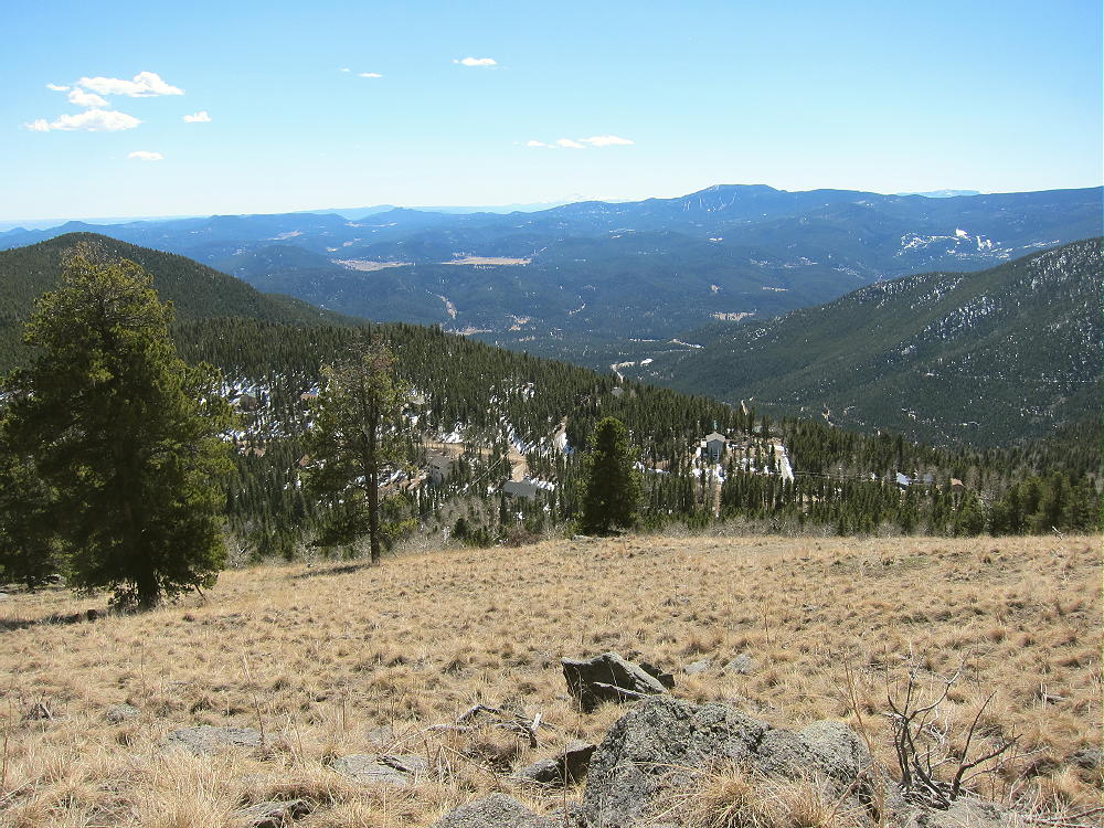
Mount Pence View South
The available evidence suggests that the northern part and activation zone of Mount Pence are on USFS land.
-
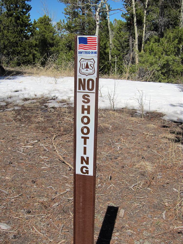
- Mount Pence USFS Marker near Trailhead
-
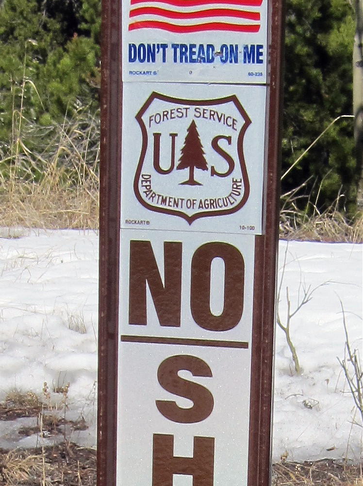
- Mount Pence USFS Marker near Trailhead
The route up the northwest ridge has no “Posted” signs or fences. The only sign I saw near the summit indicated that shooting is not allowed behind the post – in the direction of the houses.
Despite the satellite image, Pence is a surprisingly private, pleasant peak to activate. There is a large, nearly flat meadow on top, with trees to the north.
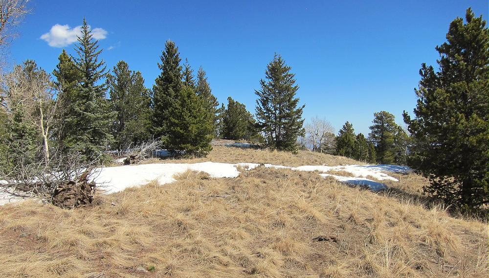
Mount Pence Summit Meadow
The summit is a pile of rocks near the east end of the summit ridge. The activation zone is large and convenient, and the view south is spectacular. There is a faint path up the east ridge, but evidence of visitation is minimal.
-
- Mount Pence Actual Summit
-
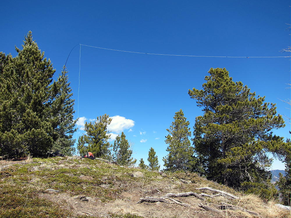
- Mount Pence HF Activation
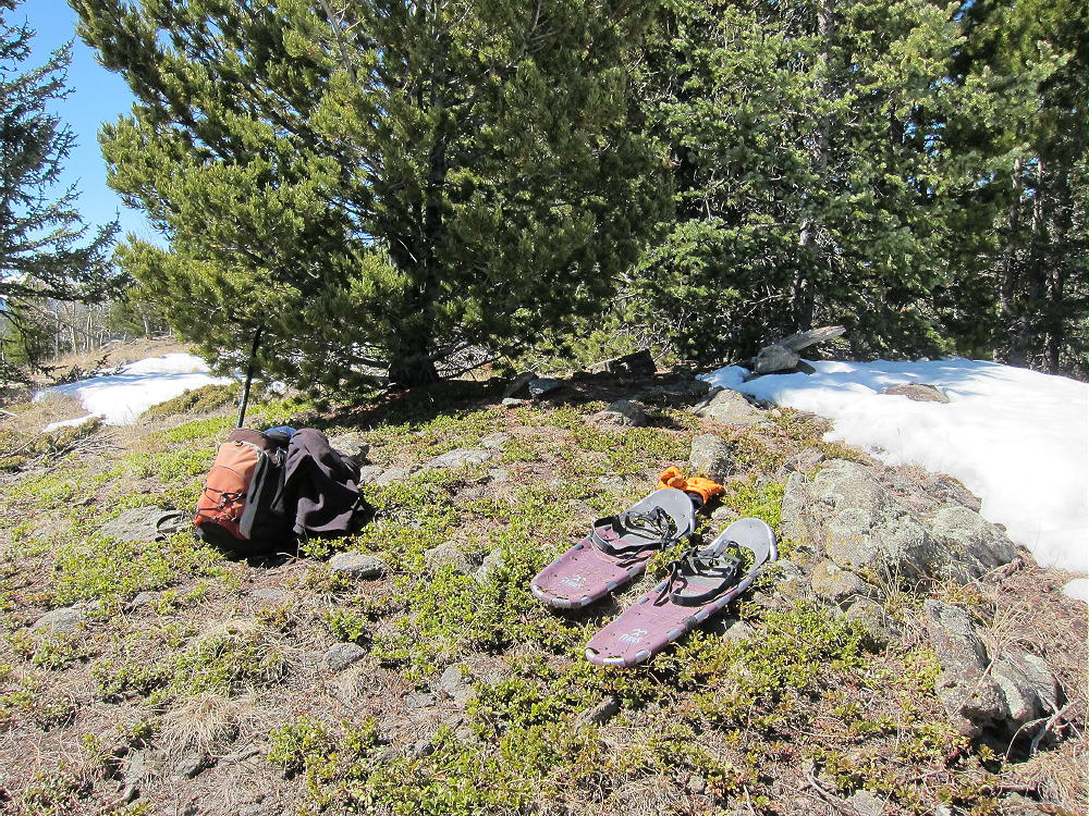
Mount Pence is a convenient summit with year-round access via a paved road close to the Denver area. The mountain provides an enjoyable snowshoe climb in winter and early spring. In warmer weather the hike is short and efficient. The summit has excellent VHF/UHF coverage across much of the Metro area, and it’s ideal for HF. The noise level was low when I was there, despite the houses less than 1000 feet away.
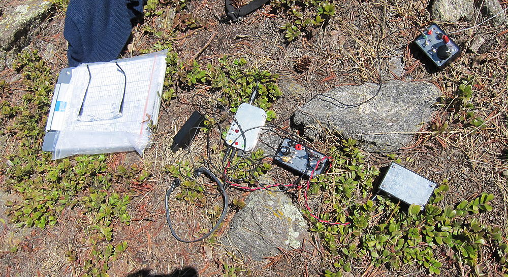
Mount Pence Radio Gear
Pence Mount, Mount Judge, Squaw Mountain, and Chief Mountain are all fun SOTA peaks, located a few miles from each other, and accessible via the Squaw Pass Road; they provide opportunities for efficient dual or multiple activations. The day I climbed Pence, I had no problem activating the more challenging Mount Judge on snowshoes, up through the forest on the north side.
73
George Carey Fuller
KX0R
![]() !! WARNING !! There are old mountaineers, and
bold mountaineers... there are no old-bold mountaineers.
Hiking and mountain climbing are potentially hazardous activities particularly in Colorado with its extreme elevations. I am not accepting responsibility for any death or injury resulting from activations based on my trip reports. Proper training, experience, and personal capability assessment is required - enjoy!
!! WARNING !! There are old mountaineers, and
bold mountaineers... there are no old-bold mountaineers.
Hiking and mountain climbing are potentially hazardous activities particularly in Colorado with its extreme elevations. I am not accepting responsibility for any death or injury resulting from activations based on my trip reports. Proper training, experience, and personal capability assessment is required - enjoy!