


W0C/FR-185 (Centennial Cone)
2645 m / 8679 ft
30 Aug 2013
27 Feb 2014
by KX0R
Centennial Cone is a fun, challenging summit with good access from three directions.
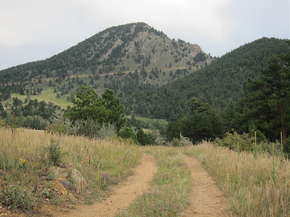
Centennial Cone Trail Near Western Trail-head
To reach the convenient western trailhead, drive west from Golden, CO, up Route 6 in Clear Creek Canyon – follow the signs toward Blackhawk and Central City. You are definitely going gambling, but not at the Casinos! Shortly after Road 119 splits from Route 6 and heads north toward Central City, take a well-marked right turn toward Centennial Cone Park. The steep road is paved all the way to the Park. The popular Park is free and has good parking, but note that hikers are allowed only on odd-numbered weekend dates; or ride a bike on an even-numbered weekend day; or go on a weekday. The Elk Range Trail to the peak may be closed during the winter and spring due to elk calving – check before you go!
At the trailhead, you can see the well-named Cone 1-1/2 miles to the east.

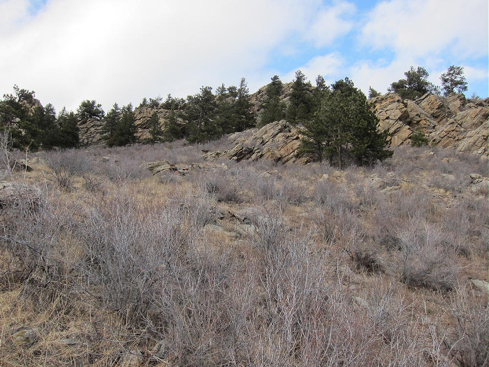
Centennial Cone West Side
Walk northeast up the gentle Elk Range Trail about 1.4 miles; just before a saddle northwest of the Cone, leave the trail and head up southwest across a meadow, and aim for a little gulch going up into the forest. If you are lucky, you’ll find an old road leading to an abandoned pegmatite mine. Follow a faint path above the mine and continue up on game trails or whatever you can find, for about 500 vertical feet, until you reach the top. The map suggests that the northeast ridge might be a better but longer route from the saddle mentioned above – however, access may be closed below there.
The summit also can be accessed from the south side via a direct bushwhack hike.
Centennial Cone South Side Bushwhack Route
This route is slightly easier and longer than the northwest bushwhack route above the pegmatite mine. An obvious old road leads around the west side of the Cone from the Elk Range Trail.
Here’s another interesting detailed report.
The peak sees few visitors, and it’s a fine, quiet radio site. The summit area is large and open, there are large trees available, and the 360-degree view shows you everything you miss from Route 6 in the canyon far below.
-
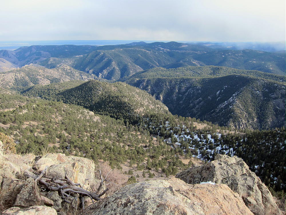
- Centennial Cone View across Clear Creek Canyon to the Southeast
-
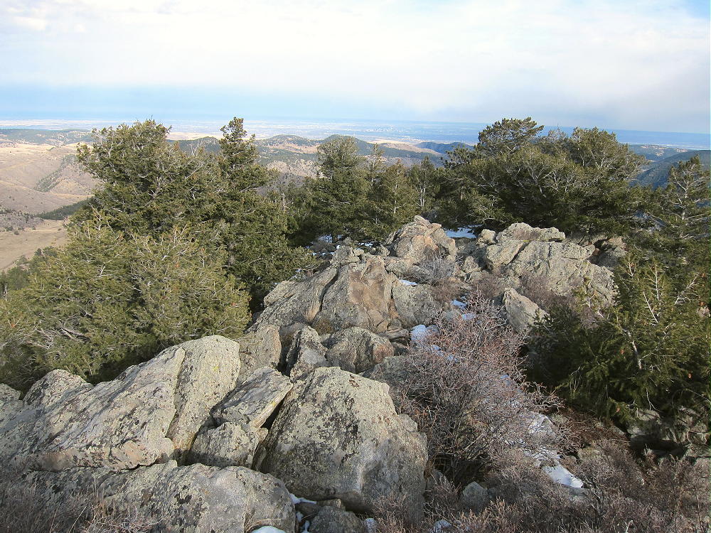
- Centennial Cone Summit Ridge
-
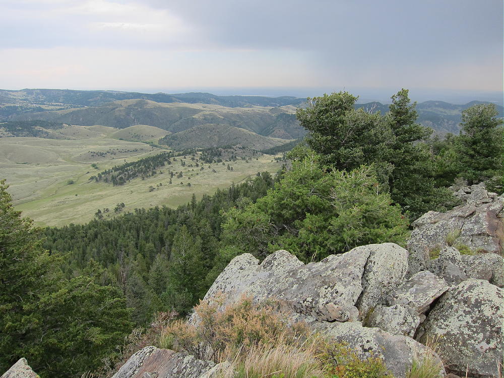
- Centennial Cone View Northeast
The site has pretty good VHF/UHF coverage of the plains to the east, as well as all directions for HF. There is some shelter from wind in the Activation Zone just east of the summit.

Centennial Cone Activation East of Summit
Fall access is possible if you pick the right day and perhaps a different route up, but check the website for extensive closures, as the park and/or trail are closed for most of the winter and spring to protect the elk.
73
George Carey Fuller
KX0R
-
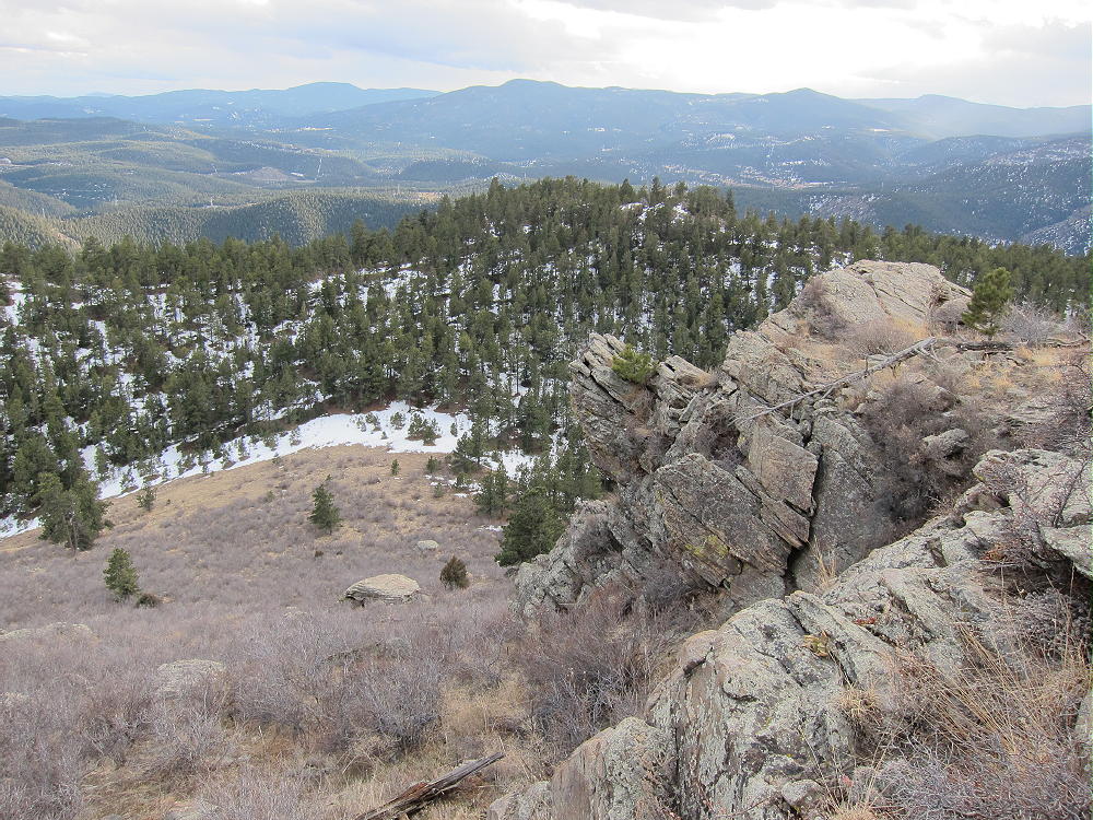
- Centennial Cone South-Side Route
-
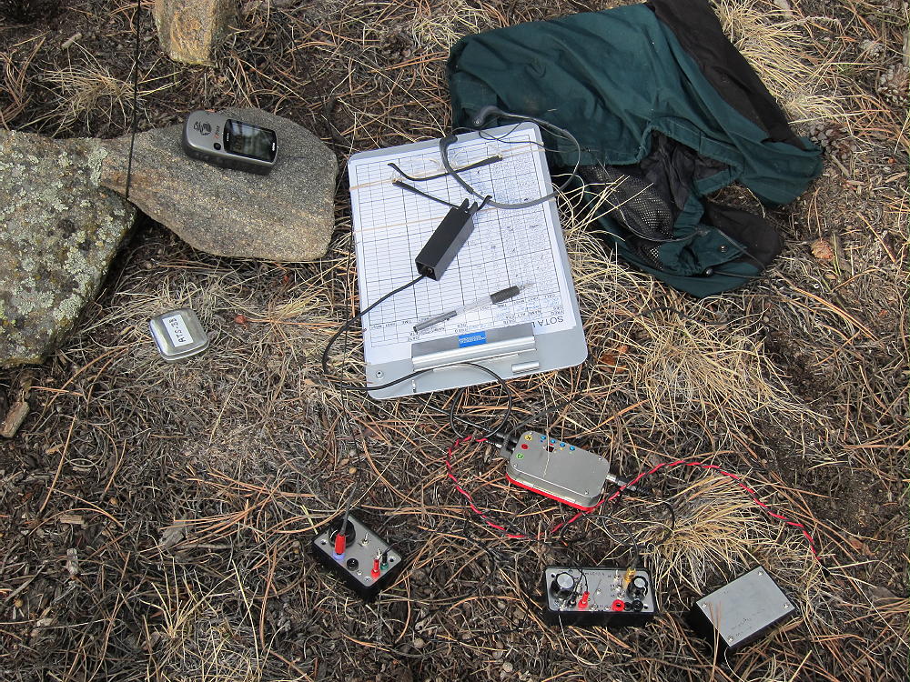
- Centennial Cone Radio Gear
-
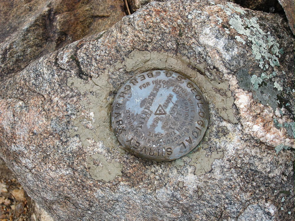
- Centennial Cone Bench Mark
-
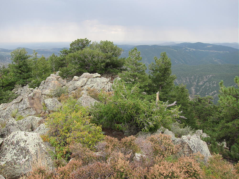
- Centennial Cone Summit Ridge
-
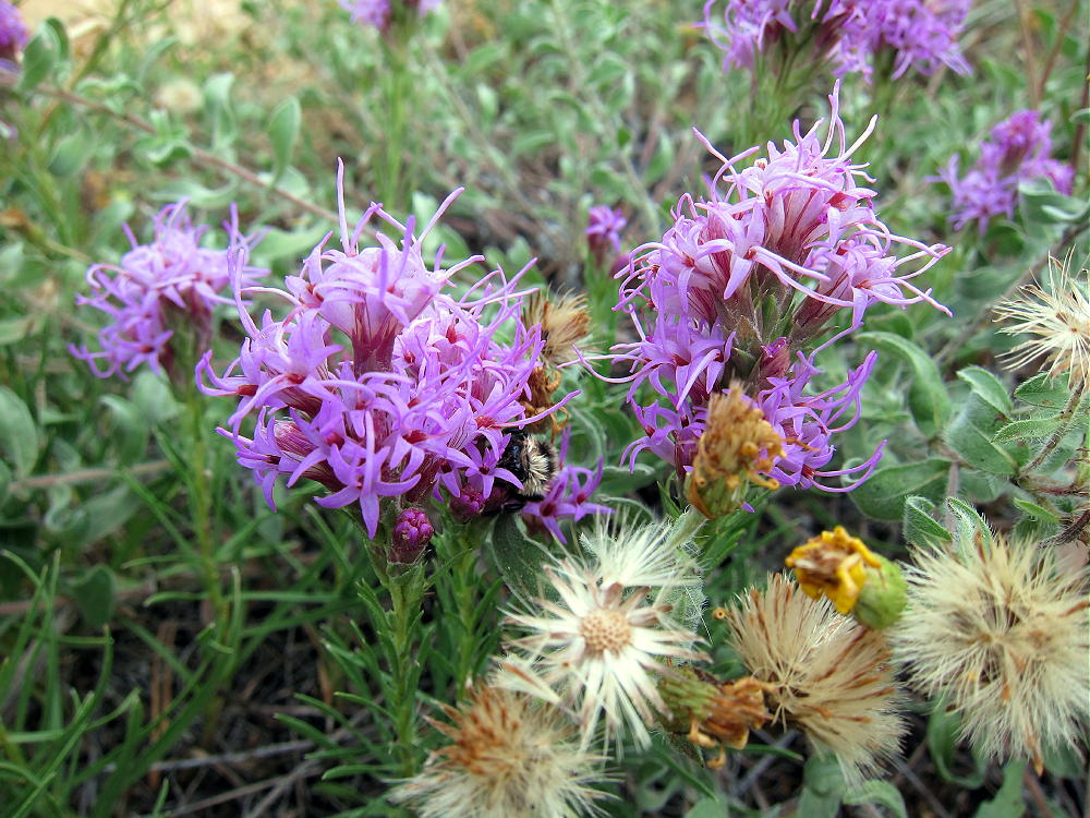
- Centennial Cone Late Summer Flowers
![]() !! WARNING !! There are old mountaineers, and
bold mountaineers... there are no old-bold mountaineers.
Hiking and mountain climbing are potentially hazardous activities particularly in Colorado with its extreme elevations. I am not accepting responsibility for any death or injury resulting from activations based on my trip reports. Proper training, experience, and personal capability assessment is required - enjoy!
!! WARNING !! There are old mountaineers, and
bold mountaineers... there are no old-bold mountaineers.
Hiking and mountain climbing are potentially hazardous activities particularly in Colorado with its extreme elevations. I am not accepting responsibility for any death or injury resulting from activations based on my trip reports. Proper training, experience, and personal capability assessment is required - enjoy!