


W0C/FR-018
Hallett Peak
3875 m / 12713 ft
July 20, 2014
by KX0R
Hallett Peak is a popular, accessible, alpine SOTA peak on the Continental Divide in Rocky Mountain National Park. A well-maintained trail from the Bear Lake Trailhead leads all the way to the summit. The one-way distance is about 5 miles, and the vertical gain is about 3200 vertical feet.
Hallett Peak from Flattop Mountain Trail
Get up really early, drive to Estes Park, continue to the Beaver Meadows Entrance of the National Park, and then take the winding Bear Lake Road up to Bear Lake. An early start is necessary in summer, partly to beat the thunderstorms, but also because the large parking lot may fill before 8:30 AM. Hike around the east side of Bear Lake and climb the marked Flattop Mountain Trail all the way up to the Divide. This popular, scenic trail has a steady, efficient grade. The upper part of the trail is high above tree-line and wide open.
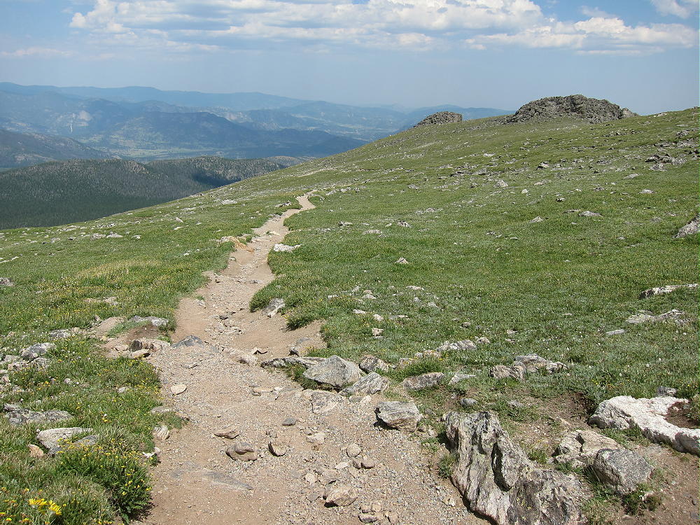
Flattop Mountain Trail in Alpine Zone
There may be an easy snowfield to cross, just before the trail reaches the Divide. The main trail splits, and both forks lead to West Slope destinations, but a small side trail heads left near Flattop Mountain; it leads south and then east, up through the rocks, for about 0.6 miles to Hallett Peak. The vertical ascent on this last leg is 500 feet.
-
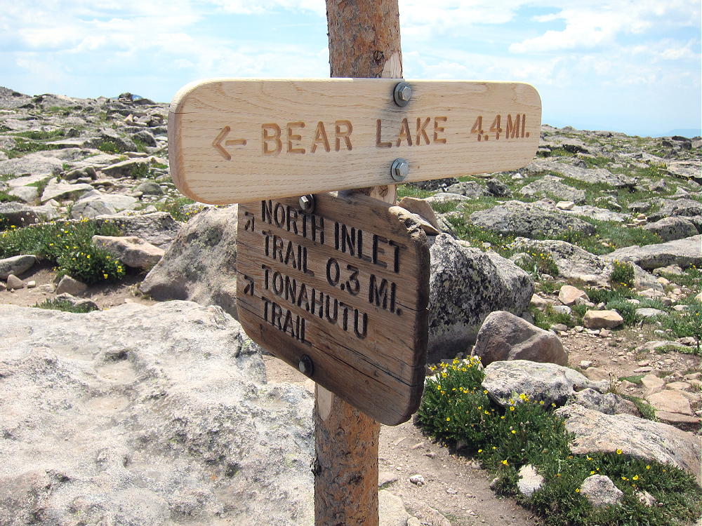
- Flattop Mountain Trail Sign
-
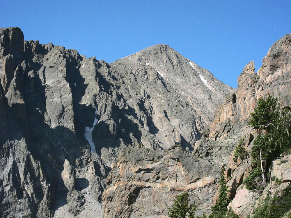
- Hallett Peak and Tyndall Glacier
-
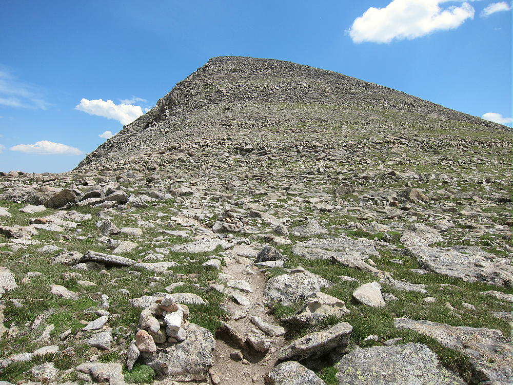
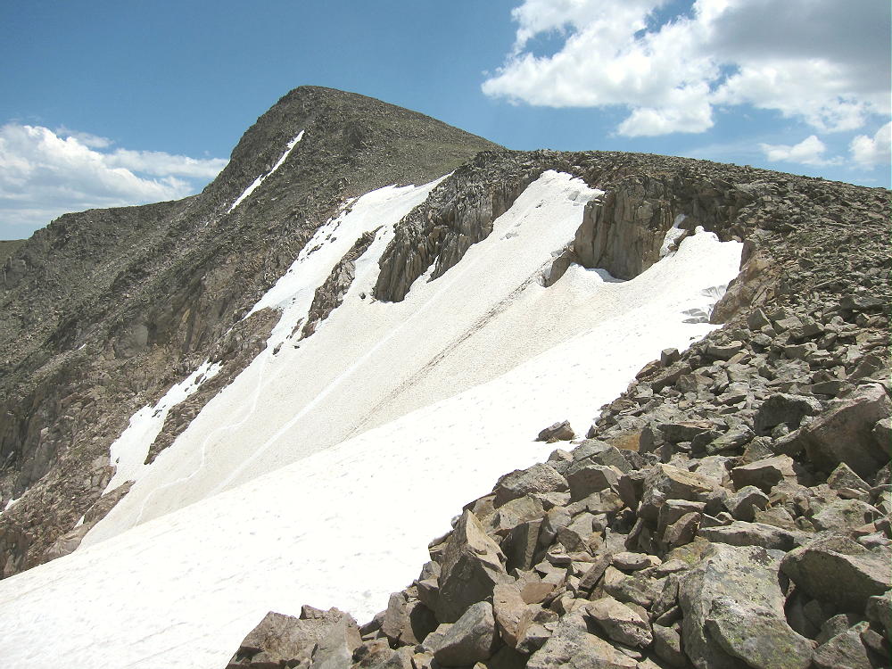
- Hallett Peak and Trail to the Top
Click here for a useful map of Rocky Mountain National Park. This shows the Flattop Mountain Trail, Hallett Peak, the Bear Lake Road, etc. Take a good topo map on the trail.
If the weather is nice, there usually are people at the summit. The activation zone is large enough that it’s possible to move off the top and set up out of the wind. When I climbed Hallett on July 20, 2014, the wind was so cold and strong that many hikers turned around – they were not prepared for such harsh conditions. The summit was downright rough, with the gusts roaring over the rocks.
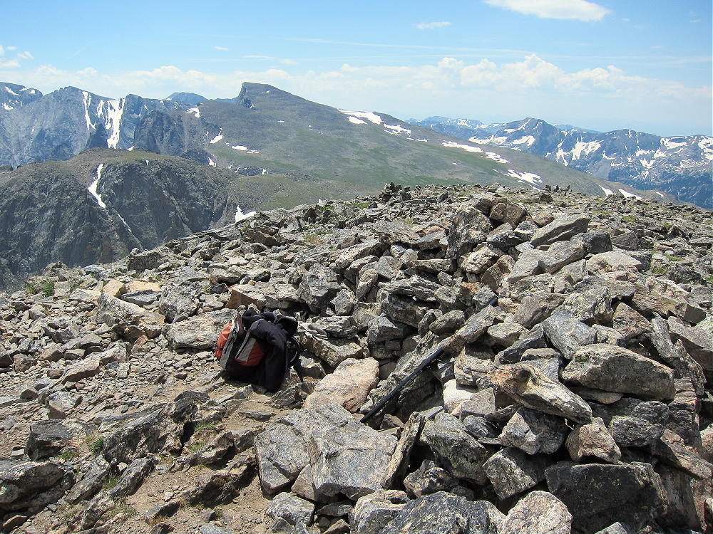
Hallett Peak Summit Shelter and View South along Divide
I went down the southeast slope and found a calm spot among the rocks, away from the people and the cold. Perhaps I lost a few db of signal to the northwest, but I had a fun time, with little stress, and my pole stayed up – signals were strong, and I couldn’t tell that I wasn’t on the peak! This is a fine HF site, and OK for VHF/UHF as well.
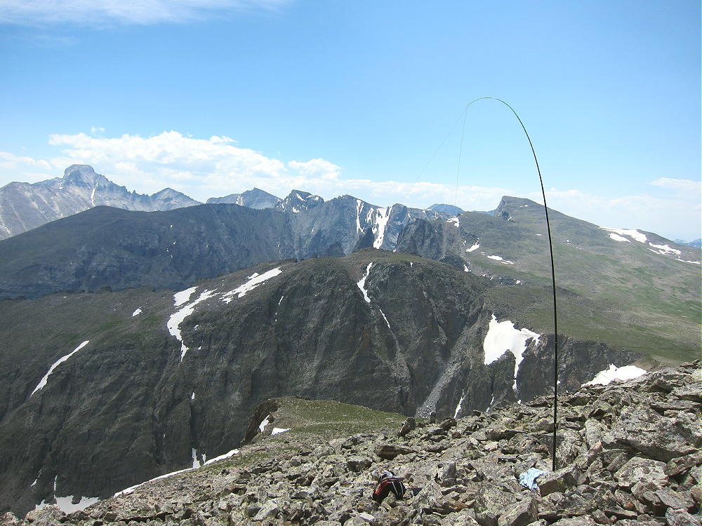
KX0R SOTA HF Activation of Hallett Peak with 67-Foot EF Wire
In my opinion, it’s almost never worth setting up on a summit in high winds for a SOTA activation. Most summits have a “wind shadow” within the activation zone, so it’s possible to escape most of the wind and enjoy the experience. At high altitude it’s essential to avoid hypothermia and reduce stress!
Hallett Peak is a dangerous summit in bad weather. The northern Front Range is particularly windy and prone to thunderstorms; snow and serious hail are possible any month. Always check the weather forecast and watch for changing conditions up there!
Make sure to return to Bear Lake via the Flattop Mountain Trail! Unless you know the area, any other descent route east will probably be more challenging than you can deal with.
Check out Guy N7UN’s Report Here.
Also N0BCB’s great photos!
73
George Carey Fuller
KX0R
-
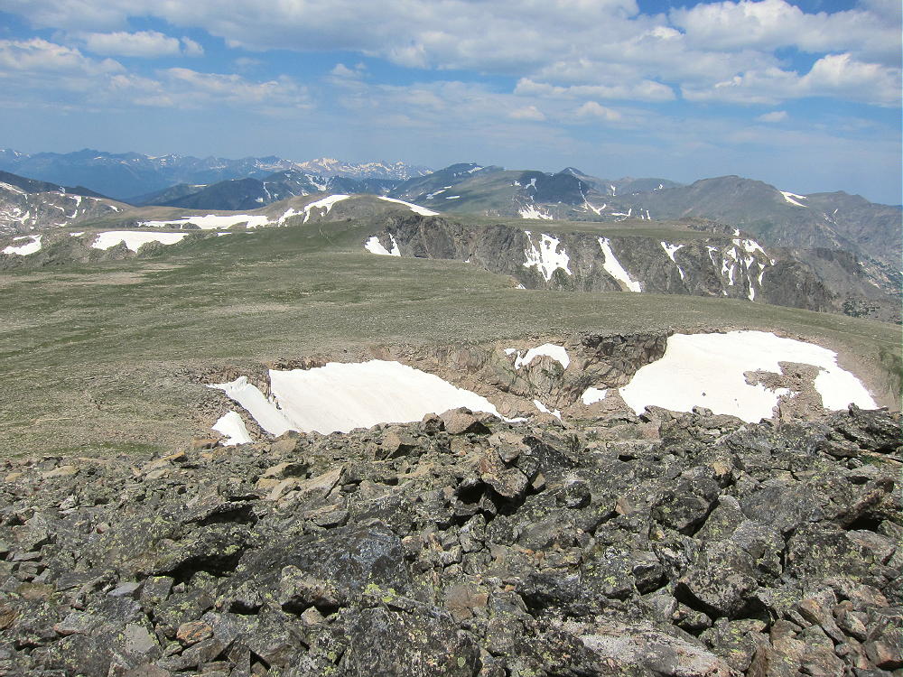
- View North to Flattop Mountain from Hallett Peak
-
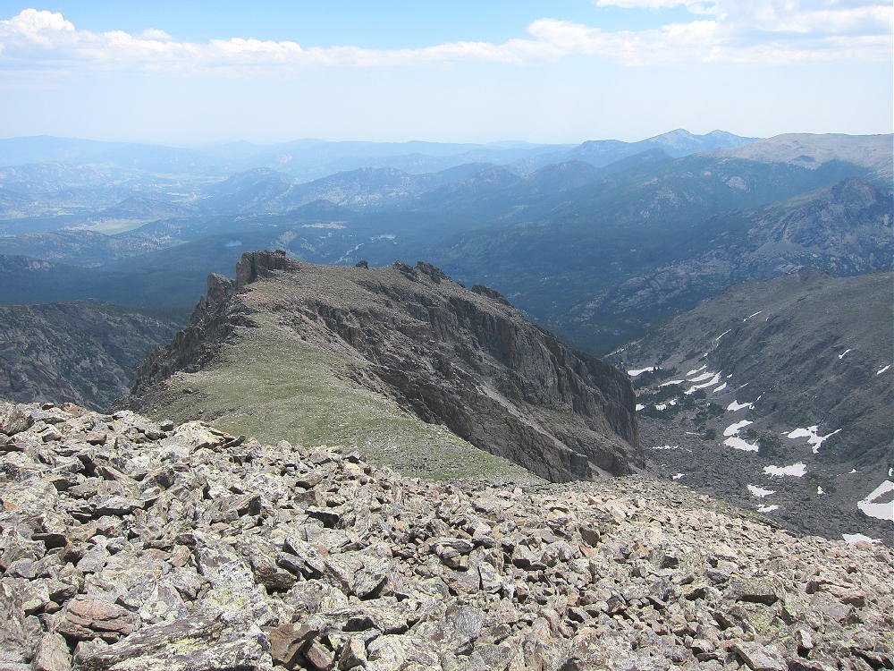
- East Ridge of Hallett Peak
-
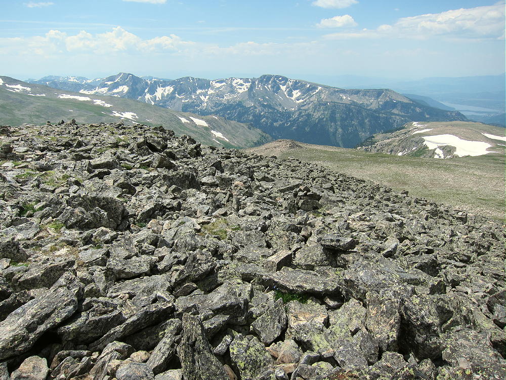
- View Southwest from Flattop Mountain Summit
-
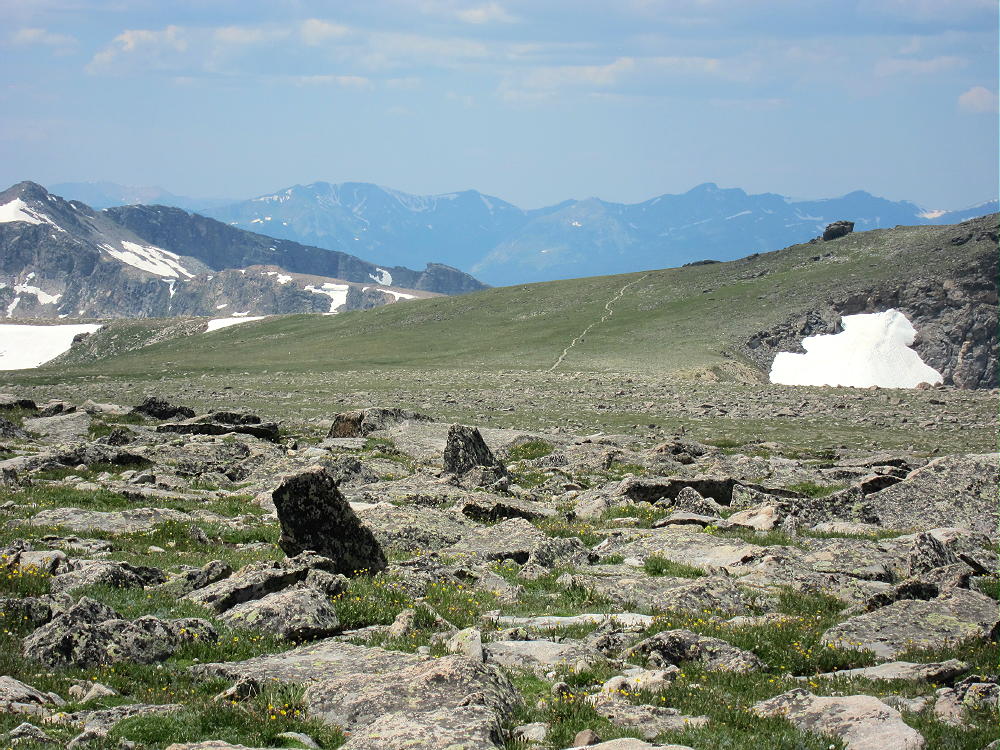
- Tonohutu Creek Trail Leading Northwest Across Divide
-
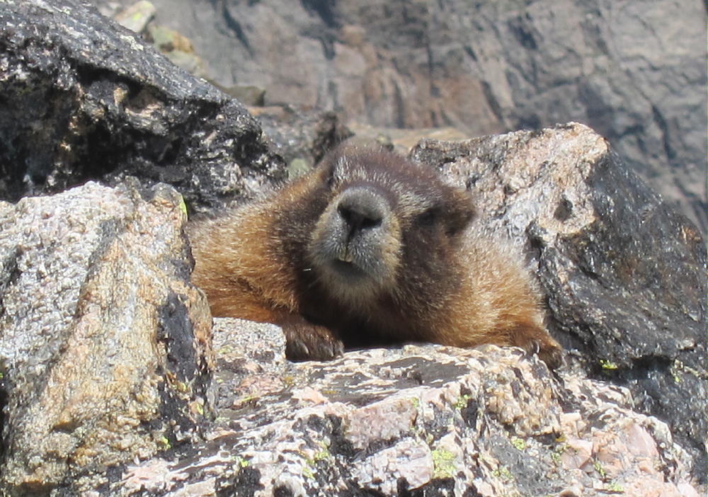
- Yellow-Bellied Marmot – Enemy of Alpine SOTA Activators
-
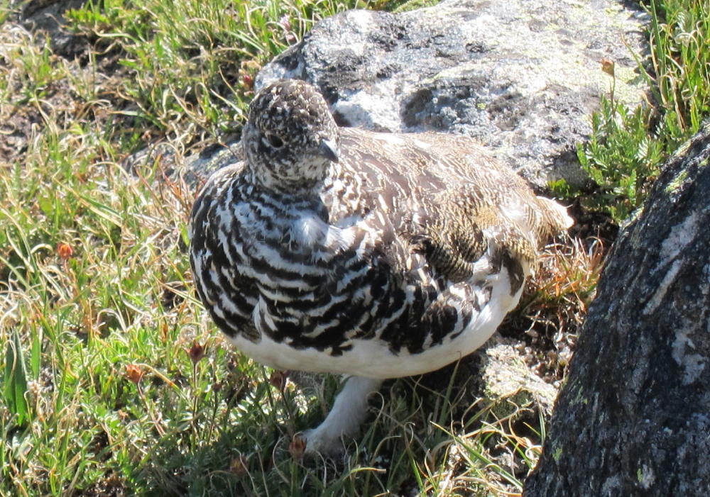
- Ptarmigan near Flattop Mountain Trail
![]() !! WARNING !! There are old mountaineers, and
bold mountaineers... there are no old-bold mountaineers.
Hiking and mountain climbing are potentially hazardous activities particularly in Colorado with its extreme elevations. I am not accepting responsibility for any death or injury resulting from activations based on my trip reports. Proper training, experience, and personal capability assessment is required - enjoy!
!! WARNING !! There are old mountaineers, and
bold mountaineers... there are no old-bold mountaineers.
Hiking and mountain climbing are potentially hazardous activities particularly in Colorado with its extreme elevations. I am not accepting responsibility for any death or injury resulting from activations based on my trip reports. Proper training, experience, and personal capability assessment is required - enjoy!